The best road cycling routes in Brendan T. Byrne State Forest
4.5
(12)
133
riders
20
rides
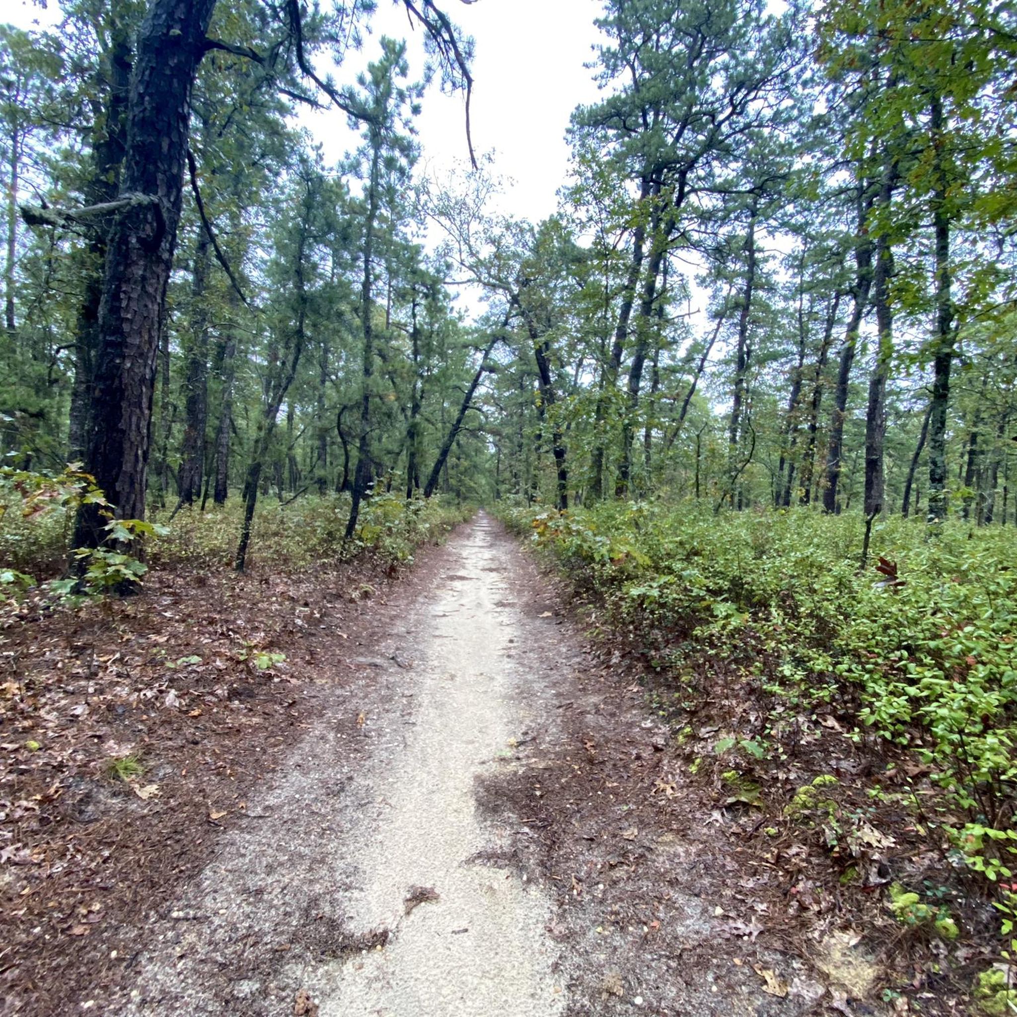
Road cycling in Brendan T. Byrne State Forest features generally flat to gently rolling terrain, characteristic of the Pinelands region of New Jersey. The landscape is dominated by pine forests and oak-pine uplands, offering shaded routes and open stretches. Roads within and around the forest are typically paved, providing smooth surfaces for road cyclists. Elevation changes are minimal, with most ascents qualifying as hills rather than significant climbs.
Best road cycling routes in Brendan T. Byrne State Forest
- The most…
Last updated: July 2, 2026
5.0
(3)
5
riders
58.6km
02:22
190m
190m
Moderate road ride. Good fitness required. Mostly well-paved surfaces and easy to ride.
5.0
(3)
4
riders
58.2km
02:30
180m
180m
Moderate road ride. Good fitness required. Some segments of this route may be unpaved and difficult to ride.

Sign up for free
4
riders
50.2km
01:58
120m
120m
Easy road ride. Great for any fitness level. Mostly well-paved surfaces and easy to ride.
3
riders
73.4km
03:00
170m
170m
Moderate road ride. Good fitness required. Some segments of this route may be unpaved and difficult to ride.
5
riders
64.1km
02:56
160m
160m
Moderate road ride. Good fitness required. Mostly well-paved surfaces and easy to ride.
Get access to more routes and recommendations from other explorers.
Sign up for free
Already have an account?
Our route recommendations are based on thousands of hikes, rides, and runs completed by other people on komoot.
Start today with a free account
Your next adventure awaits.
Login or Signup

Other adventures in Brendan T. Byrne State Forest

Tips from the Community

From this spot you get lovely views over the scenic Atsion Lake. This man-made lake is located in Wharton State Forest, in the Pine Barrens region of Atsion, New Jersey. The name "Atsion" originates from the Lenni Lenape Unami language, referring to the cedar-colored stream called Atsayunk or Atsiunc.
0
0

Atsion Lake is a man-made lake in Wharton State Forest, formed by a dammed portion of the Mullica River, covering close to 100 acres. It's a popular place for boating, fishing, swimming, and camping.
0
0

The Pemberton Trail is a rail trail built over an old railway line. It is mostly single track and is well signed. At the end of the trail, the old Pemberton Railway Station is still standing, but has not been redeveloped yet, so it is not open to the public. The trail is fairly short, so it is a great place for beginners.
1
0
Birchwood Lake was created by the Birchwood Lake Dam, which separates Birchwood Lake and Timber Lake. The lake has a beach and clubhouse, but access is only for members of Birchwood Lake Colony Club.
0
0
Atsion Lake is a man-made lake in Wharton State Forest, formed by a dammed portion of the Mullica River, covering close to 100 acres. It's a popular place for boating, fishing, swimming, and camping.
1
0
Birchwood Lake was created by the Birchwood Lake Dam, which separates Birchwood Lake and Timber Lake. The lake has a beach and clubhouse, but access is only for members of Birchwood Lake Colony Club.
0
0
Frequently Asked Questions
How many road cycling routes are available in Brendan T. Byrne State Forest?
There are over 20 road cycling routes available in Brendan T. Byrne State Forest, catering to various skill levels. The komoot community has explored these routes extensively, with over 100 road cyclists using komoot to navigate the area.
What is the general difficulty level of road cycling in Brendan T. Byrne State Forest?
Road cycling in Brendan T. Byrne State Forest is generally considered easy to moderate. The terrain is characteristic of the Pinelands region, featuring mostly flat to gently rolling roads with minimal elevation changes. There are 7 easy routes and 13 moderate routes, with no difficult routes identified.
Are there any family-friendly road cycling routes in Brendan T. Byrne State Forest?
Yes, the state forest offers several easy road cycling routes suitable for families. These routes typically feature smooth, paved surfaces and gentle terrain, making them enjoyable for riders of all ages. An example of an easy route is the Timber Lake loop from Medford Township, which is 16.3 miles long.
What kind of terrain can I expect on road cycling routes in Brendan T. Byrne State Forest?
You can expect generally flat to gently rolling terrain, dominated by pine forests and oak-pine uplands. The roads are typically paved and offer smooth surfaces. Elevation changes are minimal, with most ascents being gentle hills rather than significant climbs, providing a pleasant riding experience through shaded and open stretches.
Are there circular road cycling routes available in Brendan T. Byrne State Forest?
Yes, many of the road cycling routes in Brendan T. Byrne State Forest are designed as loops, allowing you to start and end at the same point. Examples include the popular Mount Laurel loop from Medford Township and the longer Mount Holly loop from Lenape High School.
What is the best time of year for road biking in Brendan T. Byrne State Forest?
The spring and fall seasons are generally ideal for road biking in Brendan T. Byrne State Forest, offering comfortable temperatures and beautiful scenery. Summer can also be pleasant, especially on shaded routes, but riders should be prepared for warmer conditions. Winters can be cold, and some roads may be affected by ice or snow.
Where can I find parking or trailheads for road cycling in Brendan T. Byrne State Forest?
Many routes in and around Brendan T. Byrne State Forest originate from towns like Medford Township, where public parking is often available. Specific trailheads and parking areas are usually indicated on individual route descriptions on komoot, such as the starting points for tours like the Jackson Hill loop from Medford Township.
What do other road cyclists enjoy most about road cycling in Brendan T. Byrne State Forest?
The area is highly rated by the komoot community, with an average score of 4.7 stars from over 8 reviews. Reviewers often praise the quiet, scenic pine forests, the smooth paved roads, and the generally flat terrain that makes for an enjoyable and accessible ride for various skill levels.
How long are the typical road cycling routes in Brendan T. Byrne State Forest?
Route lengths vary, offering options for shorter rides and longer excursions. For instance, the Timber Lake loop from Medford Township is about 16.3 miles (26.3 km), while the Mount Holly – Pemberton Trail loop from Medford Township extends to about 38.3 miles (61.7 km).
Are there any advanced road cycling trails in Brendan T. Byrne State Forest?
While there are no routes classified as 'difficult' in Brendan T. Byrne State Forest, some longer moderate routes offer a more challenging ride due to their distance. These routes, like the Mount Holly loop from Lenape High School (38.7 miles), provide varied scenery and some rolling terrain to test endurance.
What should I wear for road biking in Brendan T. Byrne State Forest?
Given the varied weather in New Jersey, it's advisable to wear appropriate cycling attire that can be layered. Lightweight, breathable fabrics are best for warmer months, while cooler seasons call for additional layers, including a windbreaker or jacket. Always wear a helmet for safety, and consider sunglasses and sunscreen.
Most popular routes in Brendan T. Byrne State Forest

Get inspired with the komoot mobile app


Explore more
Browse the best Road cycling routes in other regions.
