The best road cycling routes in Bald Eagle State Forest
5.0
(2)
211
riders
29
rides
Road cycling routes in Bald Eagle State Forest traverse 194,602 acres characterized by sandstone ridges, deep valleys, and mountain streams. The forest offers an extensive network of routes, including both paved surfaces and unpaved segments suitable for gravel grinding. Elevations reach up to 2,300 feet above sea level, providing varied terrain for road cyclists. This diverse landscape supports a range of habitats, including mature oak and hickory forests.
Best road cycling routes in Bald Eagle State Forest
- The most popular…
Last updated: May 21, 2026
4
riders
41.8km
01:55
250m
250m
Easy road ride. Great for any fitness level. Mostly well-paved surfaces and easy to ride.
3
riders
31.5km
01:39
430m
420m
Moderate road ride. Good fitness required. Mostly well-paved surfaces and easy to ride.

Sign up for free
3
riders
26.9km
01:12
180m
180m
Easy road ride. Great for any fitness level. Mostly well-paved surfaces and easy to ride.
12
riders
30.2km
01:23
220m
220m
Easy road ride. Great for any fitness level. Mostly well-paved surfaces and easy to ride.
12
riders
39.7km
01:34
170m
170m
Easy road ride. Great for any fitness level. Mostly well-paved surfaces and easy to ride.
Get access to more routes and recommendations from other explorers.
Sign up for free
Already have an account?
Our route recommendations are based on thousands of hikes, rides, and runs completed by other people on komoot.
Start today with a free account
Your next adventure awaits.
Login or Signup

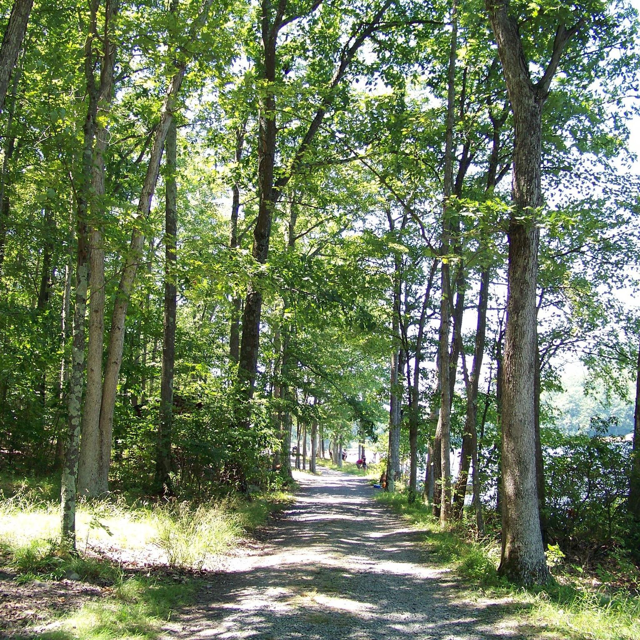
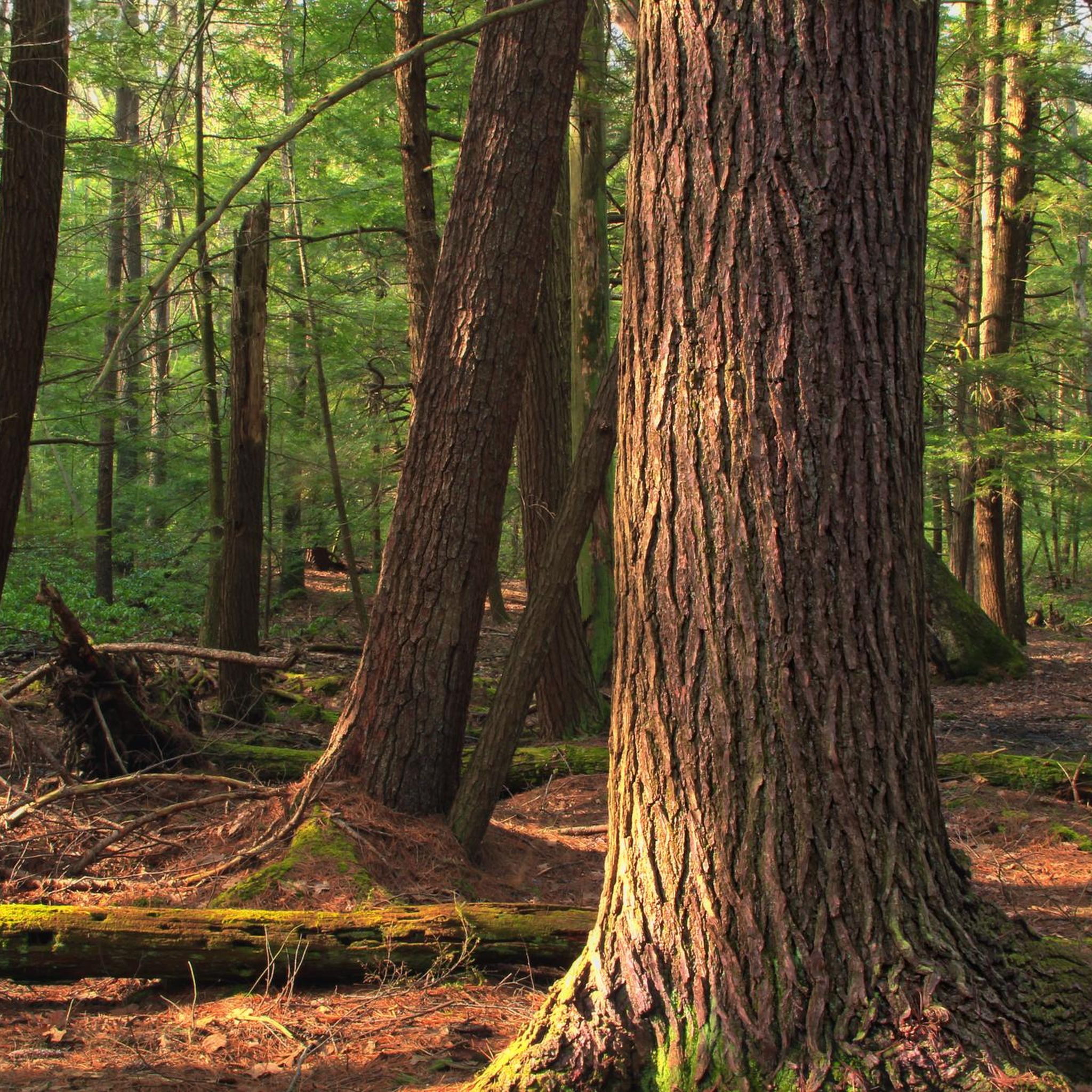

Tips from the Community

Millheim is a small town with a large history. The town's Historic District consists of 176 Georgian and Victorian buildings. The entire district was added to the National Register of Historic Places in 1986.
0
0
Frequently Asked Questions
How many road cycling routes are available in Bald Eagle State Forest?
Bald Eagle State Forest offers a diverse network of over 30 road cycling routes. These routes cater to various skill levels, with 14 easy, 14 moderate, and 3 difficult options, ensuring there's a ride for every cyclist.
What kind of terrain can I expect on road cycling routes in Bald Eagle State Forest?
The terrain in Bald Eagle State Forest is characterized by sandstone ridges, deep valleys, and mountain streams. While many routes feature mostly paved surfaces, suitable for traditional road bikes, some segments are unpaved, offering opportunities for gravel grinding. Elevations can reach up to 2,300 feet above sea level, providing varied and sometimes challenging climbs.
Are there family-friendly road cycling options in Bald Eagle State Forest?
Yes, Bald Eagle State Forest has several easy road cycling routes suitable for families. These routes often feature consistent rides through the forest's varied landscape without significant elevation gains. An example is the Millheim, Pennsylvania loop from Millheim, which offers a pleasant experience for all ages.
Where can I find scenic viewpoints along the road cycling routes?
Bald Eagle State Forest is home to 26 vistas offering sweeping panoramic views. Notable viewpoints include Bells Majestic View, Chocolate Drop Vista, Penn's View, and Jones Mountain Road Vista, which provides exceptional westward views. While specific routes passing directly by all vistas aren't detailed, many routes traverse areas with potential for scenic overlooks. For more information on sightseeing, you can visit the PA DCNR website.
What are some interesting natural attractions to see while road cycling in the area?
The forest boasts several unique natural areas. You can explore the Halfway Run Natural Area, which showcases remnants from the ice age. Additionally, the Penns Creek Path and Tunnel offers a beautiful ride alongside the creek and through an old converted train tunnel. Nearby, Poe Valley State Park features Poe Lake and Tea Kettle Pond.
Are there any state parks accessible from the road cycling routes?
Yes, Bald Eagle State Forest encompasses several state parks that offer additional amenities and points of interest. These include Poe Paddy State Park, Poe Valley State Park, and R. B. Winter State Park. These parks can be excellent spots for a break or to extend your outdoor adventure.
What is the best time of year for road cycling in Bald Eagle State Forest?
The diverse landscapes of Bald Eagle State Forest offer beautiful scenery throughout the seasons. Spring and fall are particularly popular due to milder temperatures and vibrant foliage. However, the forest's varied terrain and extensive network of roads make it enjoyable for cycling from spring through late autumn, with some routes potentially accessible in winter depending on conditions.
What do other road cyclists say about their experience in Bald Eagle State Forest?
The road cycling routes in Bald Eagle State Forest are highly rated by the komoot community, with an average score of 5.0 stars. Over 200 road cyclists have explored the varied terrain, often praising the quiet woodlands, diverse landscapes, and the mix of challenging and scenic routes available.
Are there any circular road cycling routes available?
Yes, many of the road cycling routes in Bald Eagle State Forest are designed as loops, allowing you to start and end at the same point. Examples include the Roadbike loop from Watsontown and the Roadbike loop from Flemington, offering convenient circular journeys through the forest.
Can I expect to see wildlife while road cycling in Bald Eagle State Forest?
Bald Eagle State Forest's varied landscape supports diverse habitats, making wildlife sightings common. You might spot white-tailed deer, bobcats, and various bird species. Birdwatchers can look for bald eagles, especially around Bald Eagle Mountain and Sayers Reservoir in the adjacent Bald Eagle State Park.
Are there routes suitable for advanced road cyclists seeking a challenge?
Yes, Bald Eagle State Forest offers routes with more challenging segments for advanced road cyclists. These routes often feature significant elevation gains and can include unpaved sections suitable for gravel grinding. An example is the Roadbike loop from Flemington, a moderate path with an elevation gain of over 1,600 feet.
Where can I find information about parking for road cycling routes?
While specific parking locations for each route are best found on individual komoot tour pages, Bald Eagle State Forest, being a large public land, generally offers various access points and parking areas. State parks within the forest, such as Poe Paddy and Poe Valley, also provide facilities that often include parking for visitors.
Most popular routes in Bald Eagle State Forest
Most popular attractions in Bald Eagle State Forest

Get inspired with the komoot mobile app


Explore more
Browse the best Road cycling routes in other regions.
