The best running trails in Nathan Hale State Forest
4.0
(1)
85
runners
28
runs
Jogging in Nathan Hale State Forest offers a diverse landscape for runners. The forest spans approximately 1,500 acres, featuring a mix of dense woodlands, open fields, and rolling hills. Runners can navigate forested paths, encounter hemlock and white cedar trees, and observe historical stone walls throughout the terrain. The area provides varied environments suitable for different running preferences.
Best jogging routes in Nathan Hale State Forest
- The most popular jogging route is Coventry Lake – Main Street Open Space loop…
Last updated: June 27, 2026
4.0
(1)
3
runners
11.8km
01:16
190m
190m
Moderate run. Good fitness required. Mostly paved surfaces. Suitable for all skill levels.
8
runners
9.00km
00:56
60m
60m
Moderate run. Good fitness required. Mostly paved surfaces. Suitable for all skill levels.

Sign up for free
4
runners
6.38km
00:40
70m
70m
Moderate run. Good fitness required. Mostly paved surfaces. Suitable for all skill levels.
4
runners
7.40km
00:46
60m
60m
Moderate run. Good fitness required. Mostly paved surfaces. Suitable for all skill levels.
2
runners
14.4km
01:33
220m
220m
Moderate run. Good fitness required. Mostly paved surfaces. Suitable for all skill levels.
Get access to more routes and recommendations from other explorers.
Sign up for free
Already have an account?
Our route recommendations are based on thousands of hikes, rides, and runs completed by other people on komoot.
Start today with a free account
Your next adventure awaits.
Login or Signup
Popular around Nathan Hale State Forest



Tips from the Community

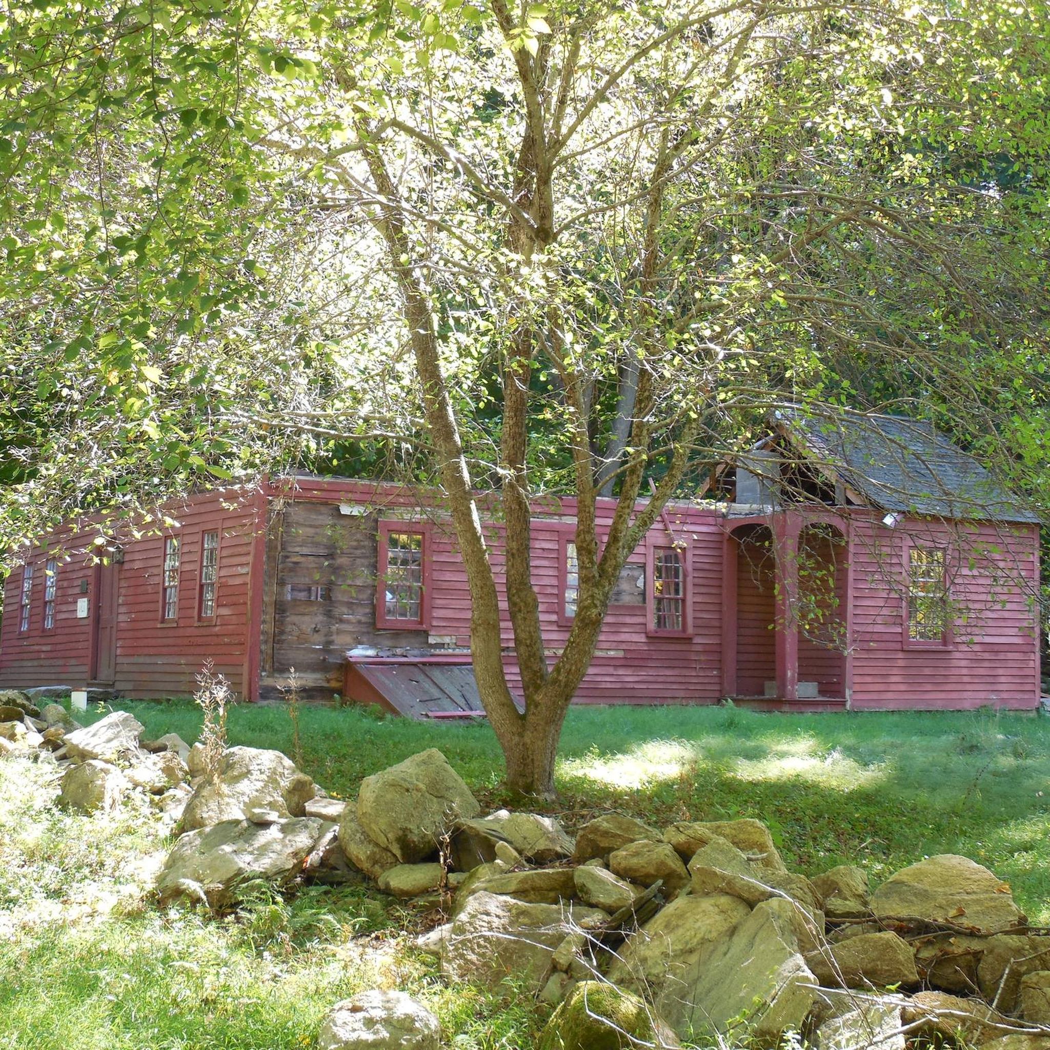
This former railroad trail is now highly popular among hikers, runners, and bikers. Stretching over 20 miles, it passes through several towns. This section features a well-maintained hard packed dirt trail surrounded by lush green forest.
0
0
Frequently Asked Questions
How many running routes are available in Nathan Hale State Forest?
Komoot features over 25 running routes in Nathan Hale State Forest, offering a wide variety of options for different preferences and fitness levels. These include 2 easy routes, 24 moderate routes, and 1 difficult route.
What kind of terrain can I expect on the jogging trails in Nathan Hale State Forest?
Runners in Nathan Hale State Forest will encounter a diverse landscape. The trails feature a mix of dense woodlands, open fields, and rolling hills. You'll jog through forested paths, past hemlock and white cedar trees, and might even spot American chestnut restoration sites. Some routes include natural features like rock gardens, river crossings, and historical stone walls, adding to the varied experience.
Are there any family-friendly running options in Nathan Hale State Forest?
Yes, the forest offers trails suitable for families. While some routes present more challenging features, there are also reasonably flat beginner trails. For a dedicated area with trails, Creaser Park, a 57-acre section leased to the Town of Coventry within the forest, provides additional hiking trails that can be suitable for a family jog.
Are dogs allowed on the trails in Nathan Hale State Forest?
Yes, Nathan Hale State Forest is generally dog-friendly. Specifically, the 57-acre Creaser Park, which is part of the forest and leased to the Town of Coventry, is noted as having a dedicated dog-friendly area, making it a great spot to run with your canine companion.
What are some popular loop running routes in the area?
Many runners enjoy loop routes for convenience. A popular option is the Coventry Lake loop from Coventry, a moderate 7.9 km path offering scenic views. Another well-liked choice is the Mirror Lake loop from Storrs, a moderate 6.8 km route.
Where can I park when visiting Nathan Hale State Forest for a run?
While the Connecticut DEEP does not officially maintain recreational trails or provide specific parking information, the abundance of paths and public use suggests various informal access points. It's advisable to check local maps or community resources for designated parking areas near trailheads or access points to the forest.
What historical or natural attractions can I see while running in Nathan Hale State Forest?
Beyond the natural beauty of hemlock and white cedar trees, runners can discover remnants of historical farmlands, including numerous stone walls scattered throughout the forest. The historic Nathan Hale Homestead is also located nearby, offering a cultural extension to your visit. For more information on the forest's history, you can visit Wikipedia.
Are there any challenging running trails for experienced runners?
Yes, Nathan Hale State Forest offers a range of difficulty levels, including challenging trails for experienced runners. While most routes are moderate, there is at least one difficult route available. These more demanding paths may feature rock gardens, river crossings, rock faces, and large roots, providing an adventurous running experience.
What do other runners say about jogging in Nathan Hale State Forest?
The running routes in Nathan Hale State Forest are highly rated by the komoot community, with an average score of 4.0 stars. Runners often praise the diverse terrain, from dense woodlands to open fields, and the opportunity to explore historical features like stone walls. The extensive network of trails provides options for all abilities.
Are the trails in Nathan Hale State Forest well-marked?
It's important to note that the Connecticut Department of Energy and Environmental Protection (DEEP) does not officially maintain recreational trails or provide markers, maps, or signs within the forest. However, many 'rogue trail maps' exist, and the numerous paths, including old woods roads and mountain bike trails, are widely used by the public. It's recommended to use a reliable navigation app like komoot to guide your run.
Can I find long-distance running routes in Nathan Hale State Forest?
Yes, the forest offers routes suitable for longer runs. For example, the Baldwin Pond – Gurleyville Road Open Space loop from Storrs is a moderate 14.4 km (approximately 9 miles) route, providing a substantial distance for an invigorating run.
What types of trees and plants can I expect to see while running?
Nathan Hale State Forest is characterized by diverse arboreal scenery. You'll frequently encounter hemlock and white cedar trees, and there are also American chestnut restoration sites. The landscape includes grass and shrub fields, offering a variety of visual and ecological experiences throughout your run.
Most popular routes in Nathan Hale State Forest

Get inspired with the komoot mobile app


Explore more
Browse the best Running Trails & Routes in other regions.
