The best MTB trails around Lochmill Loch
4.4
(20)
368
riders
22
rides
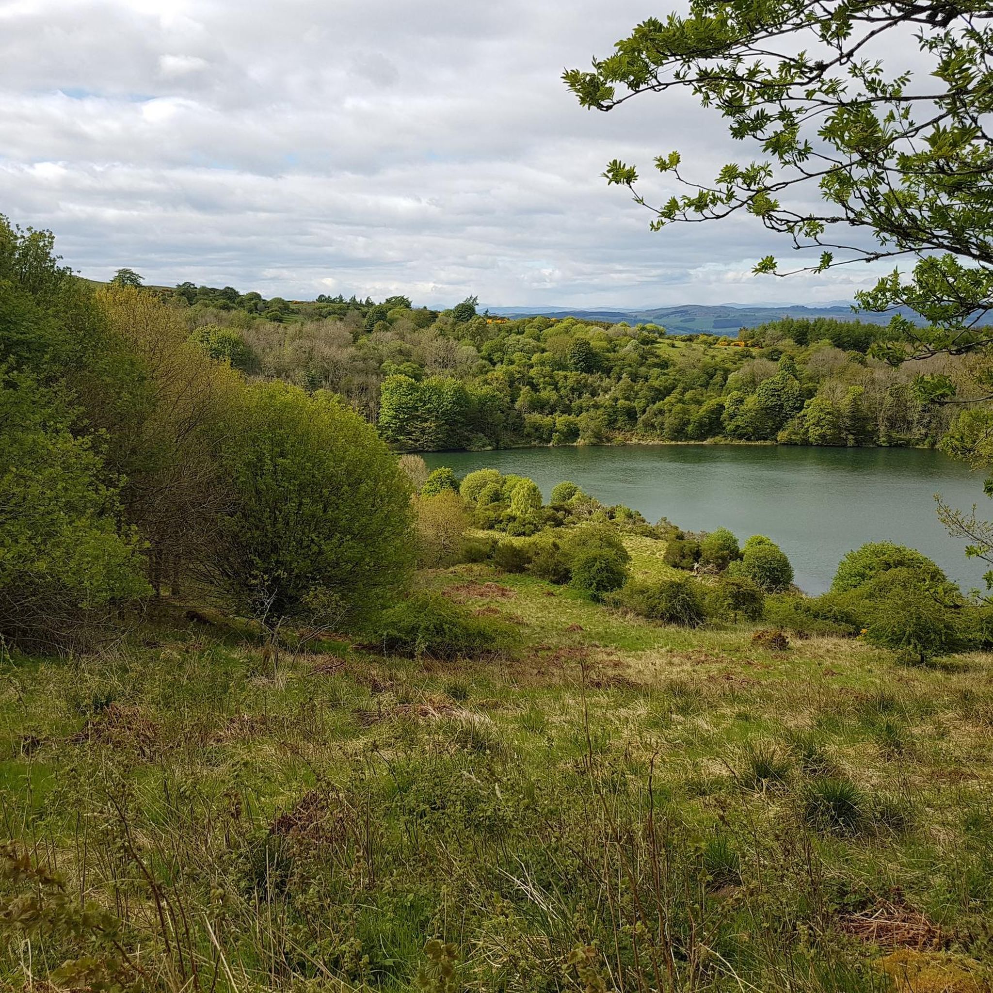
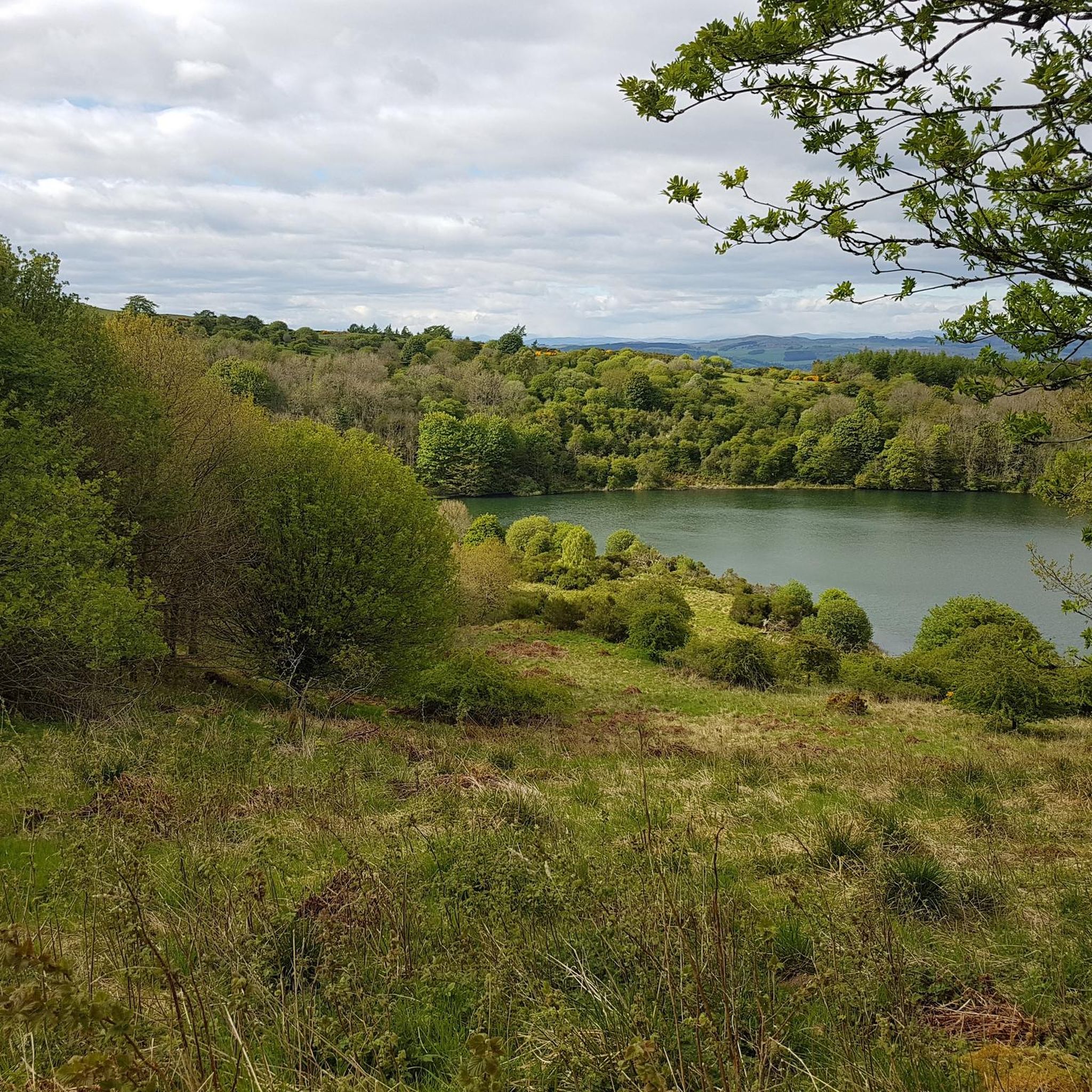
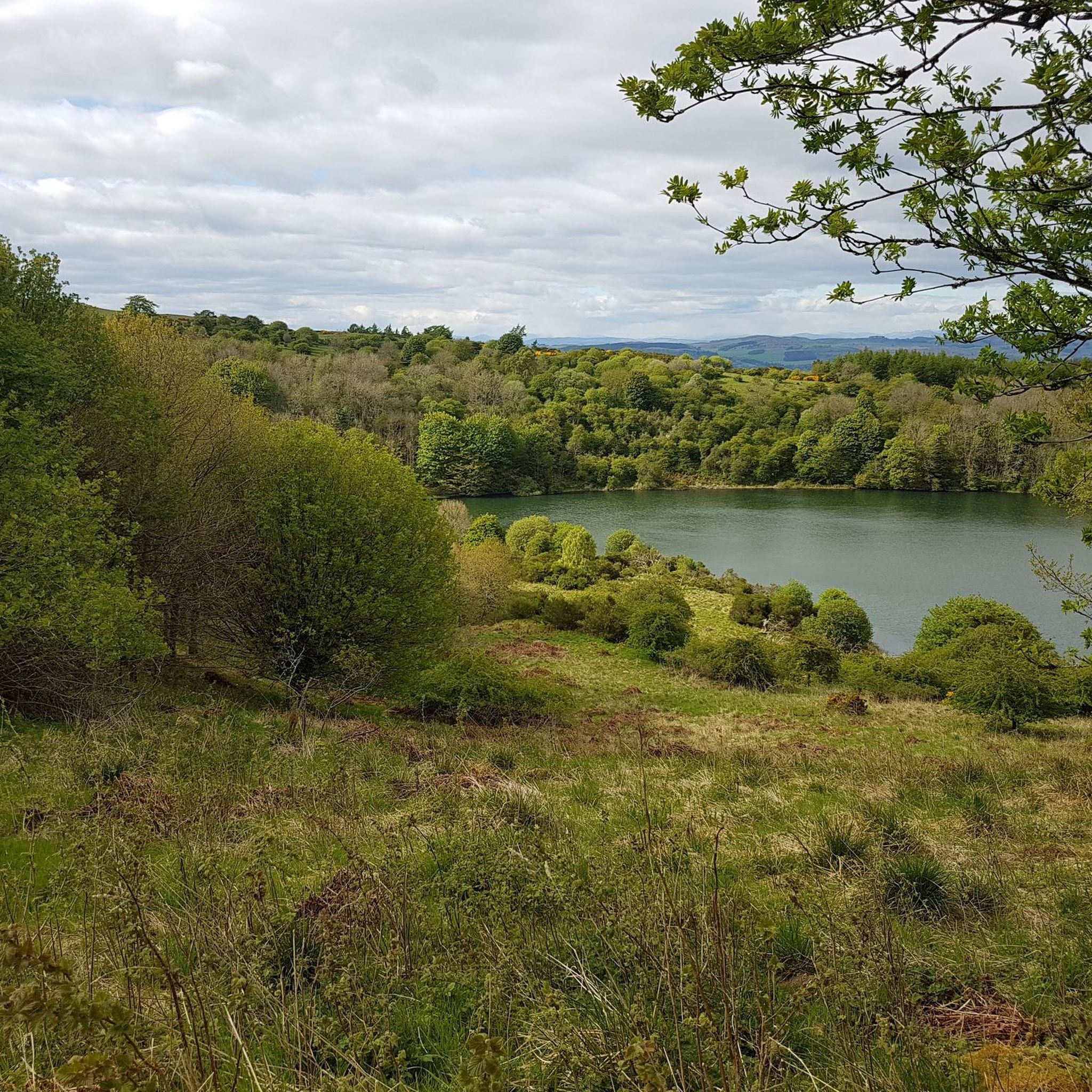
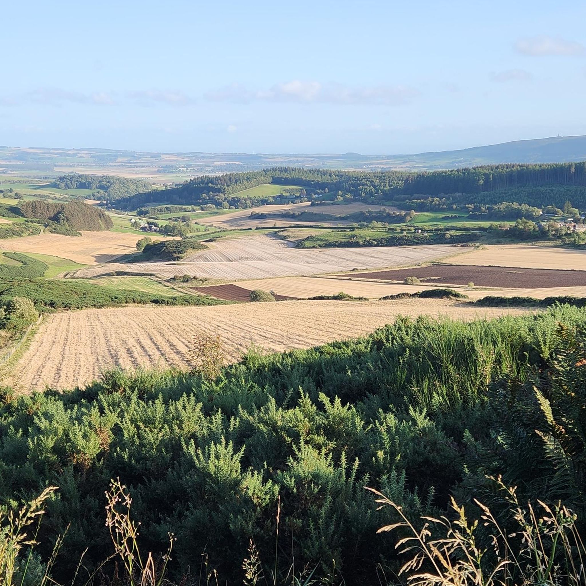
Mountain biking around Lochmill Loch offers a variety of routes through the scenic landscape of Fife. The area is characterized by its namesake loch, surrounding woodlands like Pitmedden Forest, and rolling hills. Trails often feature views of the loch and open countryside, with some routes incorporating sections through forested areas and past local landmarks. The terrain provides options ranging from gentle paths to more challenging climbs and descents.
Best mountain bike trails around Lochmill Loch
- The most popular mountain bike…
Last updated: June 24, 2026
3.8
(4)
79
riders
Moderate mountain bike ride. Great for any fitness level. Advanced riding skills necessary.
5.0
(1)
6
riders
23.3km
01:54
480m
480m
Moderate mountain bike ride. Good fitness required. Advanced riding skills necessary.

Sign up for free
4.4
(5)
138
riders
Hard mountain bike ride. Good fitness required. Advanced riding skills necessary. Some portions of the route may require you to push your bike.
3
riders
29.9km
01:56
330m
330m
Moderate mountain bike ride. Good fitness required. Advanced riding skills necessary.
13
riders
13.2km
01:08
190m
190m
Moderate mountain bike ride. Great for any fitness level. Advanced riding skills necessary.
Get access to more routes and recommendations from other explorers.
Sign up for free
Already have an account?
Our route recommendations are based on thousands of hikes, rides, and runs completed by other people on komoot.
Start today with a free account
Your next adventure awaits.
Login or Signup

Tips from the Community

It's a way better ride, along the tracks than using the road 😁
0
0

Found down a little bit of single track the top of most of the great and challenging runs at Pitmedden
0
0

Stopped here for soup at Campbells Cafe which was great. The Royal Palace (16 century) is impressive too.
0
0

Refreshments after the Tour.... Cafe The Old Barn Coffee Shop: https://goo.gl/maps/regBJYrF4sxvDCFQ7 Restaurant The Boar's Head: https://goo.gl/maps/kARtueX1rfc7AJim8
0
0
Not a comprehensive list, but some safety and equipment information to consider before walking any route..... --------------- Safety You may have to divert from the route if it has changed since it was documented. Vegetation growth may make some sections of a route more difficult to navigate during summer months Take a map of the area to be walked: https://shop.ordnancesurvey.co.uk/map-of-glenrothes-north-falkland-lomond-hills/ Carry a compass to orientate the map: https://shop.ordnancesurvey.co.uk/search.php?search_query=compass Or, use OS Locate to orientate the map: https://shop.ordnancesurvey.co.uk/apps/os-locate/ Is there time to complete the route before sunset. Consider the expected weather forecast - temperature, wind, rain or ice. A phone signal may not always be available. Let others know your intended route. Know your location from a map or what3words. Allow others to know your location via Google Maps or Walking Apps such as Komoot and outdooractive ----------------- Equipment Not comprehensive list, but some equipment you may require Footwear, walking poles & spare laces. Phone, battery backup pack & emergency contact details. Rucksack, waterproof clothing, watch, extra layers of clothing, foot blister patches, food, water, sun cream, torch, paracetamol, whistle, hat & gloves. First aid kit and any medication required. Survival bag.
0
0
The Scottish Outdoor Access Code A practical guide for all - https://www.outdooraccess-scotland.scot/practical-guide-all Car parking: https://www.outdooraccess-scotland.scot/practical-guide-all/out-and-about/car-parking Field edges - https://www.outdooraccess-scotland.scot/practical-guide-all/fields-crops Gates, fences, drystane dykes and hedges: https://www.outdooraccess-scotland.scot/practical-guide-all/out-and-about/gates-fences-drystane-dykes-and-hedges Dog walking - https://www.outdooraccess-scotland.scot/practical-guide-all/dog-walking Farm animals - https://www.outdooraccess-scotland.scot/practical-guide-all/farm-animals Farmyards: https://www.outdooraccess-scotland.scot/practical-guide-all/property/farmyards Houses & Gardens: https://www.outdooraccess-scotland.scot/practical-guide-all/property/houses-and-gardens The Highway Code – Pedestrians: https://www.gov.uk/guidance/the-highway-code/rules-for-pedestrians-1-to-35
0
0
Frequently Asked Questions
How many mountain bike trails are available around Lochmill Loch?
There are over 20 mountain bike trails around Lochmill Loch, offering a diverse range of experiences for different skill levels.
Are there any easy mountain bike trails suitable for beginners or families?
Yes, there are a few easier trails. For a moderate but accessible option, consider the View of Pitmedden Forest – Litmus Test Top Half loop from Dumbarrow Hill, which is about 13.2 km long with less elevation gain, making it a good choice for those looking for a less strenuous ride.
What are the typical distances and elevations for mountain bike trails in this area?
Trail distances vary, with many popular routes ranging from 13 km to nearly 30 km. Elevation gains typically fall between 180 meters and 460 meters, offering a good mix of rolling terrain and some more challenging climbs.
Are there any circular mountain bike routes around Lochmill Loch?
Many of the trails around Lochmill Loch are designed as loops. For example, the popular View of Pitmedden Forest – View of Electricity Pylon loop from North Colzie is a 17.2 km circular route that offers varied terrain and open views.
What kind of terrain can I expect on the mountain bike trails?
The terrain around Lochmill Loch is diverse, featuring a mix of lochside paths, dense woodlands, and open hill views. You'll encounter sections through Pitmedden Forest, rolling hills, and open countryside, providing both gentle paths and more challenging climbs and descents.
Are the mountain bike trails around Lochmill Loch dog-friendly?
While many trails in the area are suitable for dogs, it's always recommended to keep them on a lead, especially near livestock or in forested areas where wildlife may be present. Always ensure your dog is well-behaved and that you clean up after them.
What is the best time of year to go mountain biking around Lochmill Loch?
Spring and autumn generally offer the most pleasant conditions for mountain biking, with cooler temperatures and beautiful scenery. Summer can also be great, but trails might be busier. Winter riding is possible, but be prepared for potentially muddy or icy conditions.
Are there any more advanced or difficult mountain biking trails?
Yes, for experienced riders seeking a challenge, trails like the View of Electricity Pylon – Pitmedden DH/Enduro Trailhead loop from Auchtermuchty offer more difficult terrain, including varied forest sections and significant elevation changes over its 23.7 km length.
What do other mountain bikers say about the trails in Lochmill Loch?
The mountain bike trails around Lochmill Loch are highly rated by the komoot community, with an average score of 4.4 stars from over 20 reviews. Riders often praise the mix of lochside paths, dense woodlands, and open hill views, as well as the variety of options for different ability levels.
Are there places to eat or drink near the mountain bike trails?
While specific cafes or pubs directly on the trails are limited, the nearby towns and villages in Fife, such as Newburgh or Auchtermuchty, offer various options for refreshments and meals after your ride.
Is there parking available for mountain bikers at Lochmill Loch?
Parking is typically available at various access points around the loch and in nearby villages that serve as starting points for the trails. It's advisable to check specific route descriptions for recommended parking locations.
Can I access the mountain bike trails using public transport?
Public transport options to the immediate vicinity of Lochmill Loch may be limited. However, some nearby towns like Newburgh or Auchtermuchty are served by bus routes, from which you might be able to cycle to the trailheads. Planning your journey in advance is recommended.
Most popular routes around Lochmill Loch

Get inspired with the komoot mobile app


Explore more
Browse the best MTB trails in other regions.
