The best walks and hikes around Đulovac
4.2
(6)
23
hikers
2
hikes
Hiking trails around Đulovac are situated in Croatia's Bjelovar-Bilogora region, characterized by a landscape conducive to outdoor exploration. The area features a mix of forests and natural features, including the Skakavac waterfall. While specific rugged terrain is not detailed, the region offers diverse natural beauty with varying elevations.
Best hiking trails around Đulovac
- The most popular hiking route is Lom Peak (887 m) – Točak Observation Tower loop from Novo Zvečevo, a 9.5 miles (15.2 km) trail that takes…
Last updated: July 5, 2026
4.5
(4)
12
hikers
15.4km
04:39
480m
480m
Moderate hike. Good fitness required. Easily-accessible paths. Suitable for all skill levels.
3.0
(1)
9
hikers
16.4km
05:22
730m
730m
Hard hike. Very good fitness required. Easily-accessible paths. Suitable for all skill levels.

Sign up for free
5.0
(1)
2
hikers
12.7km
04:02
480m
480m
Moderate hike. Good fitness required. Easily-accessible paths. Suitable for all skill levels.
Our route recommendations are based on thousands of hikes, rides, and runs completed by other people on komoot.
Start today with a free account
Your next adventure awaits.
Login or Signup
Popular around Đulovac
Tips from the Community

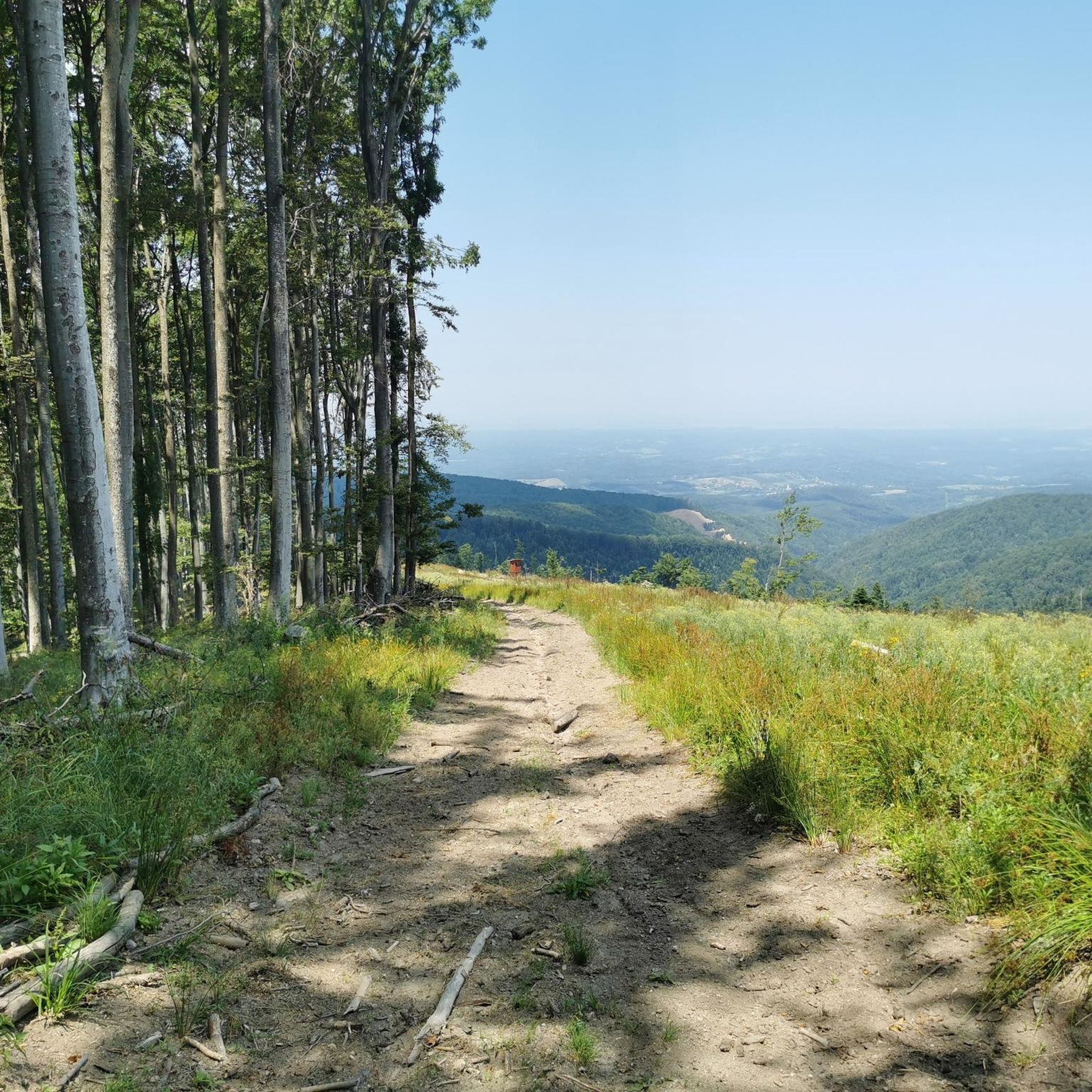
A beautiful clearing in the middle of a dense forest, an ideal place for a short break. The clearing offers a wonderful view of the surrounding nature, and is located just before the most demanding part of the climb to Crni vrh - a steep segment with a slope that in some parts reaches around 40%.
0
0

A masonry geodetic column built of stone 15 meters high, which represents the top of the Crow Stone (833m).
1
0
The top is rocky
0
0
An excellent rest stop and place to sleep, here is the SPP stamp, KT-32
1
0
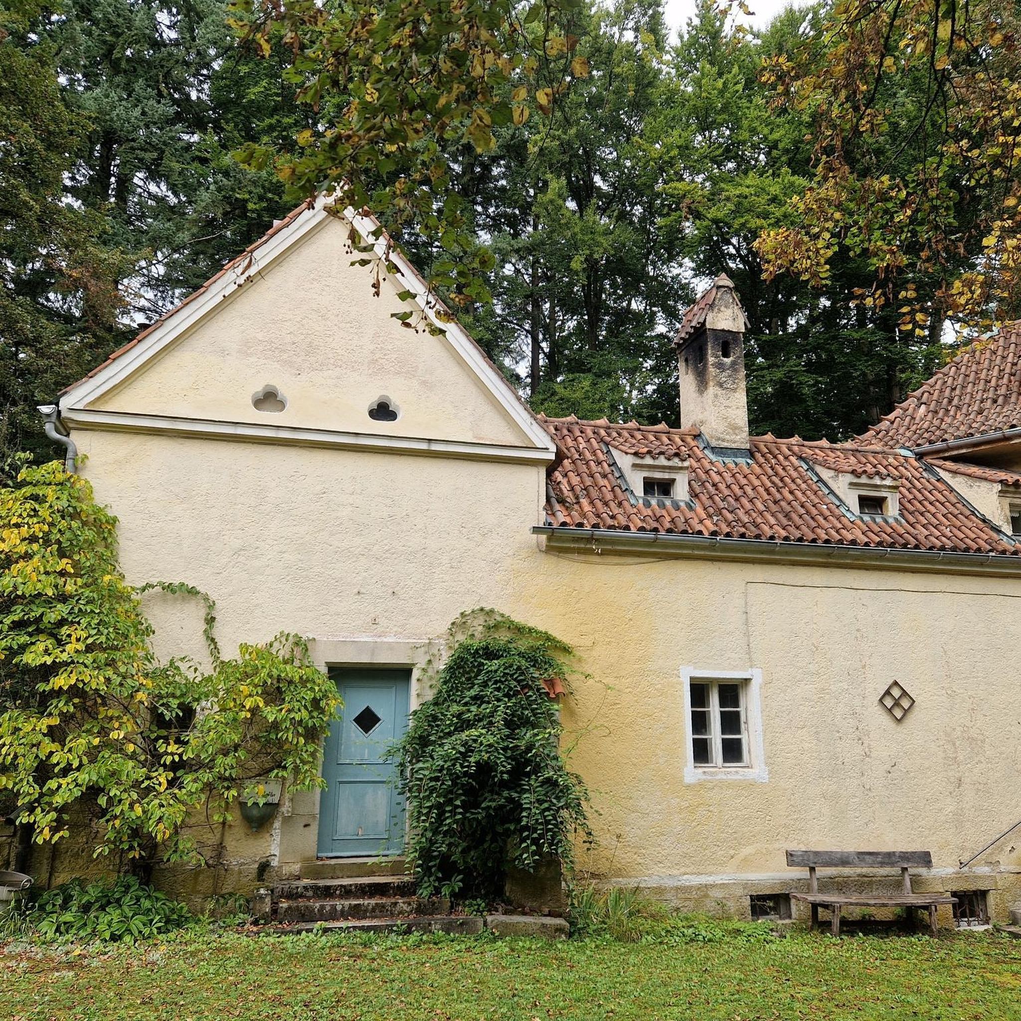
Two monuments to the hunters who tragically died in 1994 from a residual anti-tank mine
0
0
It is ten minutes' walk away (600 meters from the intersection), has a stamp (KT-31 of SPP)
0
0

Very nice location on the road between Petrovo vrh and Crni vrh. Stop and rest, it's worth a walk to the nearby Vrani Kamen peak.
4
0
The highest peak of these rocks is located a little further from the control point of the Slavonski mountain road. There is no special marking on the top, although the path to the very top is marked.
4
0
Frequently Asked Questions
What kind of terrain can I expect on hiking trails around Đulovac?
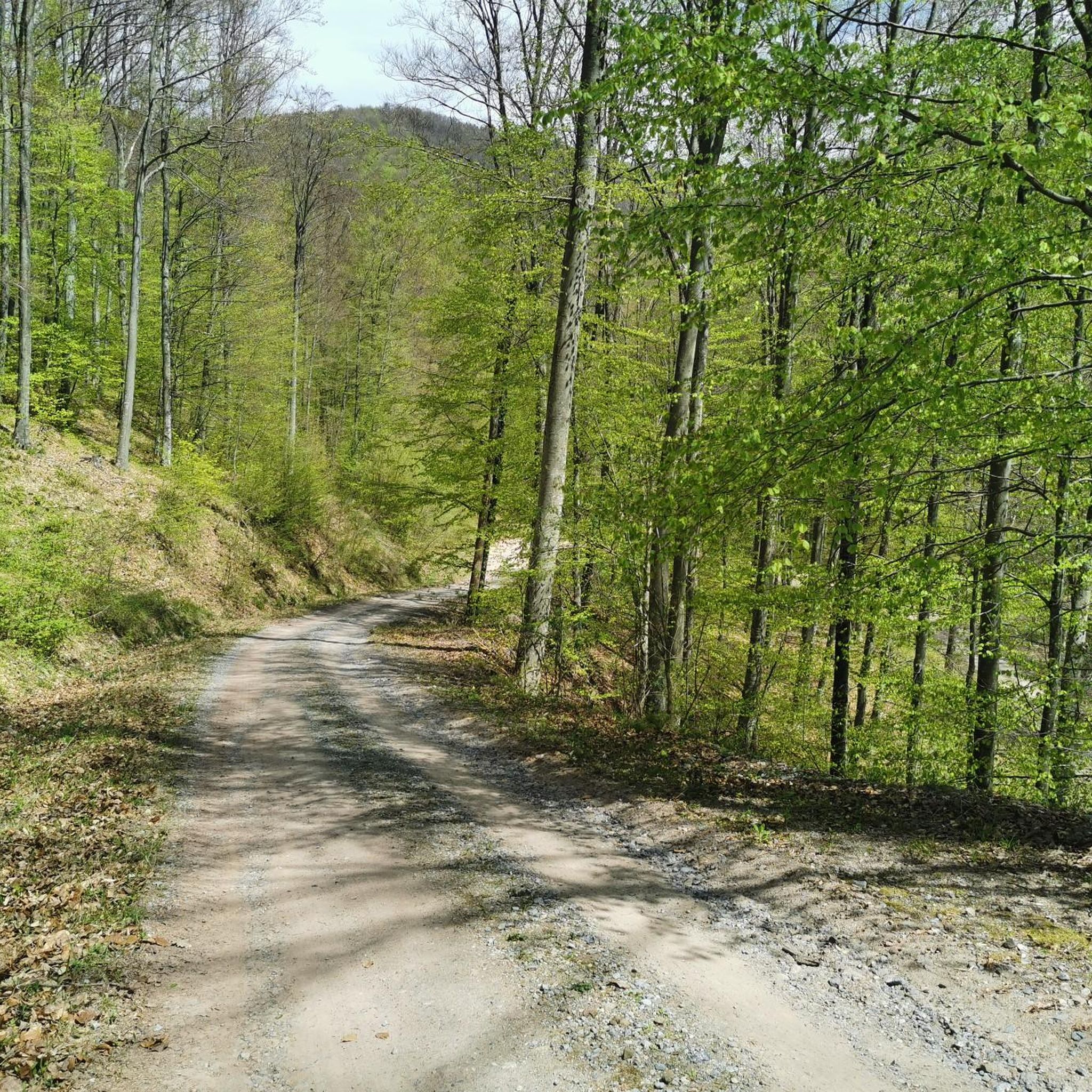
Hiking around Đulovac primarily features forest paths and observation points. The terrain varies from moderate to difficult, offering diverse natural beauty with varying elevations. You'll find a mix of forests and natural features, including the Skakavac waterfall.
Are there any easy hiking trails suitable for beginners or families in Đulovac?
While the komoot guide highlights moderate to difficult routes, the broader Đulovac region offers trails for different experience levels. Region research indicates easy trails like the 1.2-mile path to Skakavac waterfall via Grofova poučna staza, and the 3.4-mile Češljakovački vis via Grofova poučna staza, which are generally suitable for beginners or families.
Are there any circular hiking routes available in Đulovac?
Yes, there are several circular routes. For example, the Lom Peak (887 m) – Točak Observation Tower loop from Novo Zvečevo is a moderate 9.5-mile (15.2 km) loop. Another option is the challenging Točak Observation Tower loop from Voćin, which spans 10.2 miles (16.4 km).
What are some notable landmarks or viewpoints along the hiking trails in Đulovac?
Many trails in the region feature observation points. The Lom Peak (887 m) – Točak Observation Tower loop from Novo Zvečevo passes the Točak Observation Tower, offering scenic views. The Točak Observation Tower loop from Voćin also provides expansive views from the observation tower after a significant elevation gain.
Is there a waterfall I can visit while hiking in Đulovac?
Yes, the Skakavac waterfall is a notable natural feature in the Đulovac area. There is an easy 1.2-mile trail, Skakavac waterfall via Grofova poučna staza, that leads directly to it, making it an accessible destination for hikers.
What do other hikers say about the trails in Đulovac?
The hiking routes in Đulovac are highly rated by the komoot community, with an average score of 4.1 stars from over 5 reviews. Hikers often praise the varied forest terrain and the rewarding views from observation points.
How long do hikes in Đulovac typically take?
The duration of hikes in Đulovac varies depending on the route and your pace. For example, the moderate Lom Peak (887 m) – Točak Observation Tower loop from Novo Zvečevo typically takes around 4 hours 36 minutes. A slightly shorter moderate route, the Clearing With a Beautiful View – Vrani Kamen loop from Ljutoč, is often completed in about 4 hours 1 minute.
Are there any challenging hikes for experienced trekkers in Đulovac?
Yes, experienced trekkers can find challenging options. The Točak Observation Tower loop from Voćin is classified as difficult, spanning 10.2 miles (16.4 km) with significant elevation gain, and takes approximately 5 hours 22 minutes to complete.
What is the best time of year to go hiking in Đulovac?
While specific seasonal recommendations are not detailed, the general Croatian countryside, with its diverse natural beauty, is typically enjoyable for hiking during spring, summer, and early autumn when the weather is mild and the natural landscapes are vibrant. Always check local weather conditions before heading out.
What is the total number of hiking routes available in the Đulovac area on komoot?
Komoot features a variety of hiking routes in the Đulovac area, with over 20 tours recorded by the community. These routes cater to different difficulty levels and offer diverse experiences.
Are there any trails that lead through particularly scenic forest areas?
Many trails in Đulovac traverse scenic forest terrain. The Clearing With a Beautiful View – Vrani Kamen loop from Ljutoč, for instance, is a 7.9-mile (12.7 km) trail that leads through varied forest landscapes, offering a pleasant experience for nature lovers.
Most popular routes around Đulovac

Get inspired with the komoot mobile app


Explore more
Browse the best Hikes in other regions.
