The best walks and hikes around Grad Garešnica
4.4
(70)
312
hikers
16
hikes
Hiking trails around Grad Garešnica traverse a diverse landscape characterized by wetlands, gentle forest-covered slopes, and agricultural areas. The region features the Ilova River valley, a Natura 2000 site known for its ecological value and rich biodiversity. Hikers can explore a mosaic of marshy expanses, rolling hills, and vineyards, with routes often leading through the Moslavačka Gora hills. This area provides varied terrain for outdoor activities.
Best hiking trails around Grad Garešnica
- The most popular hiking route is Garić Grad…
Last updated: July 1, 2026
4.9
(21)
68
hikers
Hard hike. Very good fitness required. Easily-accessible paths. Suitable for all skill levels.
4.9
(22)
65
hikers
Moderate hike. Good fitness required. Easily-accessible paths. Suitable for all skill levels.

Sign up for free
4.8
(4)
58
hikers
11.3km
03:19
320m
320m
Moderate hike. Good fitness required. Easily-accessible paths. Suitable for all skill levels.
4.0
(3)
22
hikers
19.5km
05:40
510m
510m
Hard hike. Very good fitness required. Easily-accessible paths. Suitable for all skill levels.
4.8
(5)
24
hikers
8.11km
02:27
270m
270m
Moderate hike. Good fitness required. Easily-accessible paths. Suitable for all skill levels.
5.0
(2)
9
hikers
10.4km
03:06
330m
330m
Moderate hike. Good fitness required. Easily-accessible paths. Suitable for all skill levels.
6
hikers
10.1km
02:56
280m
280m
Moderate hike. Good fitness required. Easily-accessible paths. Suitable for all skill levels.
3.5
(2)
8
hikers
Moderate hike. Good fitness required. Easily-accessible paths. Suitable for all skill levels.
3.0
(1)
11
hikers
8.59km
02:37
300m
300m
Moderate hike. Good fitness required. Easily-accessible paths. Suitable for all skill levels.
8
hikers
7.34km
02:03
140m
140m
Moderate hike. Good fitness required. Easily-accessible paths. Suitable for all skill levels.
Get access to more routes and recommendations from other explorers.
Sign up for free
Already have an account?
Our route recommendations are based on thousands of hikes, rides, and runs completed by other people on komoot.
Start today with a free account
Your next adventure awaits.
Login or Signup
Popular around Grad Garešnica
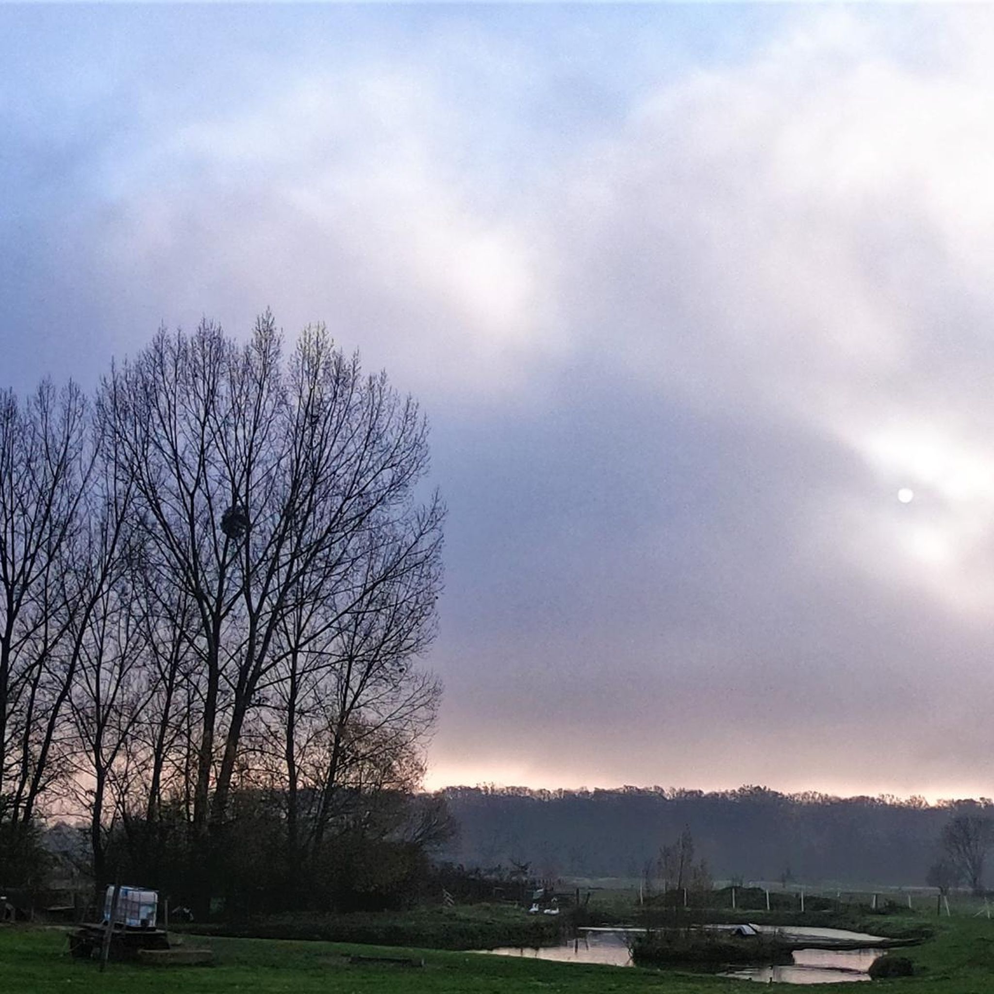
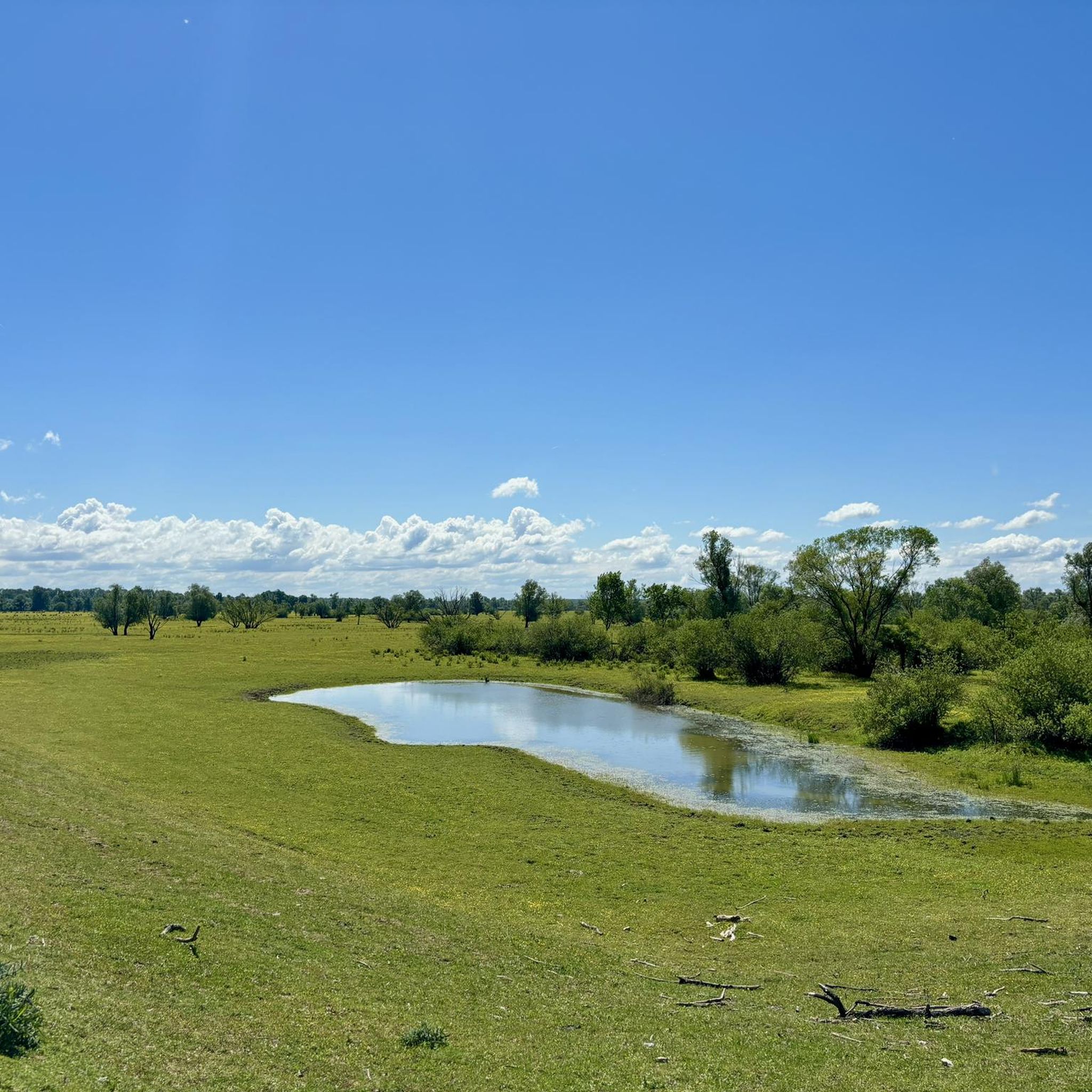
Tips from the Community

A good location to start the bypass, especially in the counterclockwise direction.
0
0

Nice and picturesque place to take a break
0
0

A beautiful viewpoint with a view of Papuk and Psunj, as well as Daruvar, Pakrac and Lipik.
1
0
The beginning of an attractive trail that continues past the White Church all the way to Humka
1
0
A beautiful and well-marked path along the stream with several wooden bridges and springs.
1
0

a small and beautiful lake
2
0
crazy cables are everywhere
2
0

Humka is the highest peak of Moslavina Gora (489 nm). You can't go to the top because the OiV transmitter is up there.
2
0
Frequently Asked Questions
How many hiking trails are available around Grad Garešnica?
There are over a dozen hiking trails around Grad Garešnica, offering a variety of experiences. The komoot community has explored 16 different routes in the area.
What makes hiking in Grad Garešnica unique?
Hiking in Grad Garešnica offers a unique blend of landscapes, including wetlands, gentle forest-covered slopes, and vineyards. The region is characterized by the Ilova River valley, a Natura 2000 site known for its exceptional biodiversity, where you can observe numerous bird species, European beavers, and otters. The area also features thematic trails like the 'Green Gardens of Poilovlje'.
What are the different difficulty levels for hiking trails in Grad Garešnica?
The trails around Grad Garešnica cater to various fitness levels. You'll find 2 easy routes, 11 moderate routes, and 3 difficult routes, ensuring there's something for everyone from casual walkers to experienced hikers.
Are there any easy hikes suitable for beginners in Grad Garešnica?
Yes, there are easy routes available. While specific easy routes are not detailed in the top selections, many of the moderate trails are accessible for beginners looking for a slightly longer walk. For example, the Vis loop from Regional park Moslavačka gora is a moderate 7.2 km route with less elevation gain, making it a good option.
Are there any circular hiking routes in Grad Garešnica?
Yes, many of the trails in Grad Garešnica are circular, allowing you to start and end at the same point. An example is the challenging Garić Grad Castle Ruins – Vis Viewpoint (Vidikovac Vis) loop from Mikleuška, which covers 20.6 km.
What kind of natural attractions can I expect to see on the trails?
The trails often lead through the diverse landscapes of the Poilovlje region, a Natura 2000 site. You can expect to see extensive water surfaces, landscaped ponds, wetlands, rivers, and small lakes. The area is rich in biodiversity, offering opportunities for bird-watching and observing wildlife like beavers and otters.
Are there any historical landmarks or viewpoints along the hiking trails?
Yes, several routes feature historical landmarks and scenic viewpoints. For instance, the Garić Grad Castle Ruins – Vis Viewpoint (Vidikovac Vis) loop from Podgarić takes you past the Garić Grad Castle Ruins and offers views from Vis Viewpoint.
Are the hiking trails in Grad Garešnica suitable for families with children?
The 'Green Gardens of Poilovlje' area is particularly suitable for families. It features educational trails for walking and cycling, along with two educational points, Kaniška Iva and Pepeljni vrtovi, which include playgrounds and sports areas, making them ideal for family outings.
What do other hikers enjoy the most about hiking in Grad Garešnica?
The trails in Grad Garešnica are highly rated by the komoot community, with an average score of 4.4 stars from over 70 reviews. Hikers often praise the diverse natural landscapes, the tranquility of the forests, and the opportunities to explore historical sites like the Garić Grad Castle Ruins.
Can I combine hiking with other outdoor activities in the Grad Garešnica area?
Absolutely. Beyond hiking, the region offers opportunities for cycling on thematic paths, boat tours on the Ilova River, and even fishing in well-managed fishponds and natural waters like Lake Skresovi. The rich biodiversity also makes it excellent for bird-watching.
Is there a trail that combines a lake and a viewpoint?
Yes, the Mikleuška Lake – Vis Viewpoint (Vidikovac Vis) loop from Mikleuška is a moderate 8.1 km route that allows you to experience both Mikleuška Lake and the Vis Viewpoint.
Are there longer, more challenging routes for experienced hikers?
For experienced hikers seeking a challenge, the Garić Grad Castle Ruins – Mikleuška Lake loop from Podgarić is a difficult 19.5 km route with significant elevation gain, offering a full day's adventure through varied terrain.
Most popular routes around Grad Garešnica

Get inspired with the komoot mobile app


Explore more
Browse the best Hikes in other regions.
