The best road cycling routes around Končanica
46
riders
13
rides
Road cycling routes around Končanica traverse a landscape characterized by rolling hills and open countryside, connecting various towns and villages. The region features moderate elevation changes, with routes often passing through agricultural areas and offering views of the surrounding terrain. Road cyclists can expect a mix of well-maintained roads suitable for longer rides.
Best road cycling routes around Končanica
- The most popular road cycling route is Ivanovo Vrelo "Zdenac Želja" – Julijev park loop from Daruvar, a 31.4 miles…
Last updated: July 5, 2026
6
riders
50.5km
02:12
370m
370m
Moderate road ride. Good fitness required. Some segments of this route may be unpaved and difficult to ride.
5
riders
73.6km
03:10
590m
590m
Moderate road ride. Good fitness required. Some segments of this route may be unpaved and difficult to ride.

Sign up for free
5
riders
69.3km
02:52
390m
390m
Moderate road ride. Good fitness required. Some segments of this route may be unpaved and difficult to ride.
5
riders
122km
05:10
810m
810m
Hard road ride. Very good fitness required. Some segments of this route may be unpaved and difficult to ride.
5
riders
96.4km
04:05
670m
670m
Moderate road ride. Good fitness required. Mostly well-paved surfaces and easy to ride.
5
riders
109km
04:30
680m
680m
Moderate road ride. Good fitness required. Mostly well-paved surfaces and easy to ride.
4
riders
74.1km
03:22
690m
690m
Moderate road ride. Good fitness required. Mostly well-paved surfaces and easy to ride.
5
riders
155km
06:46
1,360m
1,360m
Hard road ride. Very good fitness required. Mostly well-paved surfaces and easy to ride.
3
riders
62.4km
02:29
330m
330m
Moderate road ride. Good fitness required. Mostly well-paved surfaces and easy to ride.
3
riders
136km
05:37
790m
790m
Hard road ride. Very good fitness required. Mostly well-paved surfaces and easy to ride.
Get access to more routes and recommendations from other explorers.
Sign up for free
Already have an account?
Our route recommendations are based on thousands of hikes, rides, and runs completed by other people on komoot.
Start today with a free account
Your next adventure awaits.
Login or Signup
Popular around Končanica
Tips from the Community


Kajgana is a populated place within the town of Garesnica, Bjelovar-Bilogor County, Republic of Croatia. Scrambled eggs. settlement. Kajgana is located in Croatia
0
0

Translated from English - The Pakra is a river in western Slavonia and central Croatia, a left tributary of the Ilova. It is around 72 kilometres long. The Pakra rises south of Ravna Gora, north of the village of Bučje. It flows west and crosses Pakrac, where it bends south through Lipik.
1
0
The street is alternative for main road
1
0

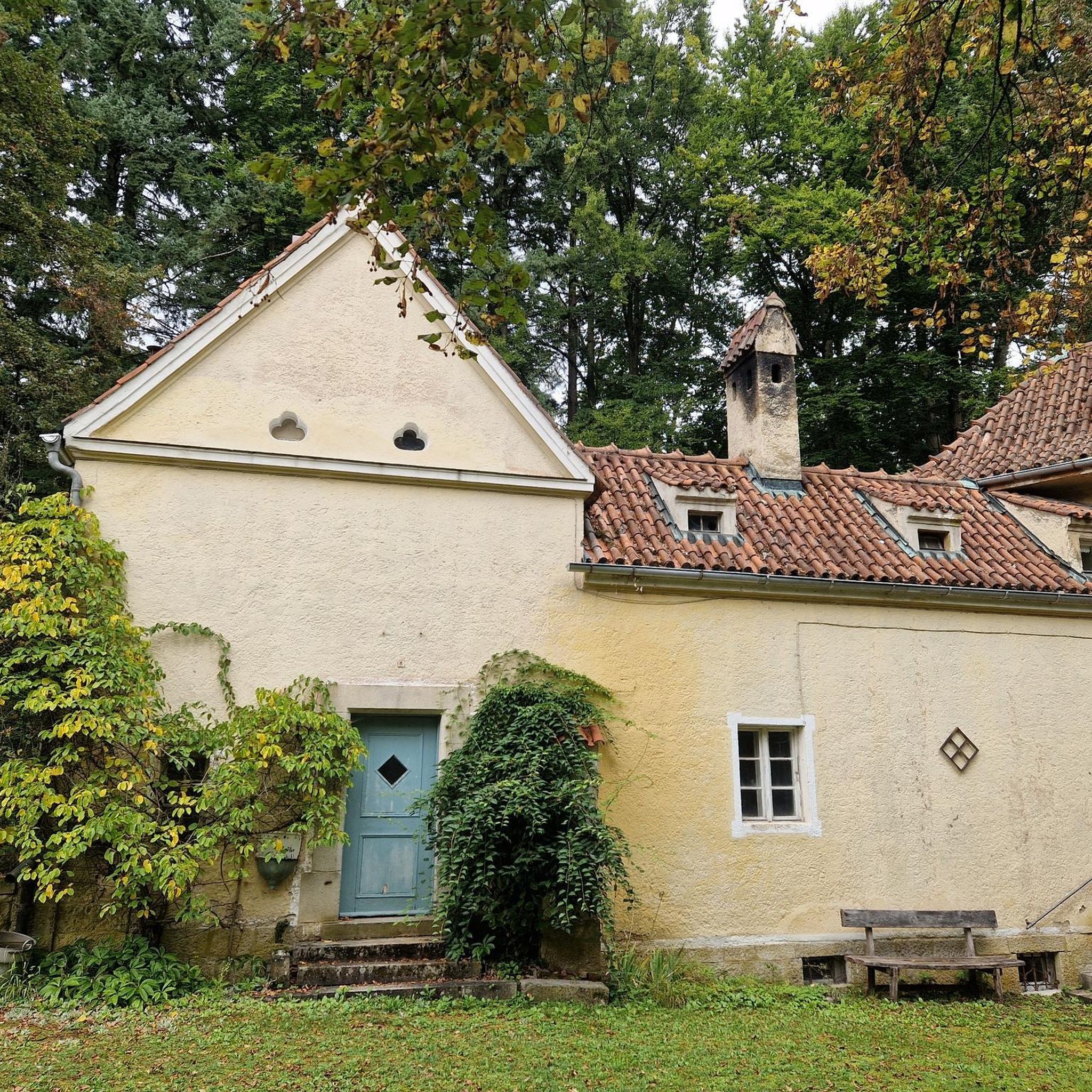
The building is currently under renovation.
0
1
Restaurant and lodging. Working hours Monday, Tuesday and Wednesday - by appointment only for groups (043/214-454) Thursday, Friday, Saturday and Sunday - 12:00-21:00 From my experience, the service could be better, but when you need something to eat, there are not many choices nearby.
2
0
Frequently Asked Questions
What are the typical characteristics of road cycling routes around Končanica?
The region around Končanica is characterized by rolling hills and open countryside, with routes connecting various towns and villages. Cyclists can expect moderate elevation changes and rides through agricultural areas, offering views of the surrounding terrain. The roads are generally well-maintained, suitable for longer rides.
What are the difficulty levels for road cycling routes in Končanica?
Road cycling around Končanica primarily offers routes of moderate to difficult ability levels. There are no easy routes available in this guide, making it more suitable for cyclists with some experience looking for a challenge.
What is the average length and duration of road cycling routes in this area?
The routes vary significantly in length and duration. For instance, the Ivanovo Vrelo "Zdenac Želja" – Julijev park loop from Daruvar is about 31.4 miles (50.5 km) and takes around 2 hours 13 minutes, while the Lipik loop from Grubišno Polje is a challenging 96 miles (154.5 km) ride, typically completed in over 6 hours.
Are there any longer, more challenging road cycling routes for experienced riders?
Yes, for experienced riders seeking a challenge, routes like the Prašćevac – Zečjak loop from Grubišno Polje, spanning 75.6 miles (121.7 km) with significant elevation, or the Betlehem – Scenic Quiet Road loop from Garešnica, at 86.9 miles (139.9 km), offer demanding rides through varied landscapes.
Can I find circular road cycling routes around Končanica?
All the road cycling routes featured in this guide are circular loops, designed to bring you back to your starting point. This includes popular options like the Lipik loop from Daruvar and the Monaco Coffee Bar loop from Daruvar.
What kind of scenery can I expect on these road cycling routes?
The routes offer diverse scenery, from open fields and agricultural lands to views of rolling hills. You'll pass through various regional towns and villages, experiencing the rural charm of the Končanica area. Some routes, like the Ivanovo Vrelo "Zdenac Želja" – Julijev park loop from Daruvar, even explore natural springs and parkland.
Are there road cycling routes that start from towns other than Končanica?
Yes, many routes in this guide start from nearby towns, offering different perspectives of the region. For example, you can find routes originating from Daruvar, Garešnica, and Grubišno Polje, such as the Monaco Coffee Bar – Lipik loop from Garešnica or the Kajgana Village loop from Grubišno Polje.
What is the best time of year for road cycling in Končanica?
Given the region's climate, spring and autumn generally offer the most pleasant conditions for road cycling, with milder temperatures and less extreme weather. Summer can also be suitable, but it's advisable to start early to avoid the midday heat.
Are there any routes that pass by notable landmarks or points of interest?
While specific landmarks are not detailed for every route, the Ivanovo Vrelo "Zdenac Želja" – Julijev park loop from Daruvar explores natural springs and parkland. Other routes connect various towns, offering opportunities to discover local points of interest as you pass through.
How many road cycling routes are featured in this guide for Končanica?
This guide features 10 distinct road cycling routes around Končanica, offering a variety of moderate to difficult options for exploring the region.
Are there any road cycling routes suitable for beginners or families with young children?
The road cycling routes around Končanica, as presented in this guide, are generally rated as moderate to difficult. There are no easy routes available, meaning they may not be suitable for beginners or families with young children looking for very gentle rides.
What kind of road surfaces can I expect on these routes?
The routes primarily utilize well-maintained roads, suitable for road bikes. You can expect paved surfaces that allow for smooth and efficient cycling across the region's rolling terrain.
Most popular routes around Končanica

Get inspired with the komoot mobile app


Explore more
Browse the best Road cycling routes in other regions.
