The best road cycling routes around Stupnik
4.6
(114)
4,353
riders
150
rides
Road cycling routes around Stupnik, a municipality in Zagreb County, Croatia, offer diverse terrain and scenic landscapes. The region is characterized by forest communities, meadows, agricultural lands, and numerous canals, providing varied backdrops for rides. Cyclists can find routes with gentle elevation gains, traversing mostly paved surfaces, while more challenging options include greater ascents over longer distances. This area provides an accessible way to explore Zagreb County's natural environment.
Best road cycling routes around Stupnik
- The most popular road cycling…
Last updated: June 26, 2026
18
riders
24.1km
01:03
200m
200m
Easy road ride. Great for any fitness level. Mostly well-paved surfaces and easy to ride.
4.0
(1)
13
riders
Moderate road ride. Good fitness required. Mostly well-paved surfaces and easy to ride.

Sign up for free
12
riders
40.9km
01:36
100m
110m
Easy road ride. Great for any fitness level. Mostly well-paved surfaces and easy to ride.
6
riders
67.5km
03:26
880m
880m
Moderate road ride. Good fitness required. Some segments of this route may be unpaved and difficult to ride.
6
riders
Moderate road ride. Great for any fitness level. Some segments of this route may be unpaved and difficult to ride.
5.0
(1)
5
riders
Easy road ride. Great for any fitness level. Mostly well-paved surfaces and easy to ride.
6
riders
Moderate road ride. Good fitness required. Mostly well-paved surfaces and easy to ride.
5
riders
28.3km
01:16
270m
270m
Easy road ride. Great for any fitness level. Mostly well-paved surfaces and easy to ride.
3
riders
45.1km
02:15
560m
560m
Moderate road ride. Good fitness required. Some segments of this route may be unpaved and difficult to ride.
6
riders
31.5km
01:15
100m
100m
Easy road ride. Great for any fitness level. Mostly well-paved surfaces and easy to ride.
Get access to more routes and recommendations from other explorers.
Sign up for free
Already have an account?
Our route recommendations are based on thousands of hikes, rides, and runs completed by other people on komoot.
Start today with a free account
Your next adventure awaits.
Login or Signup
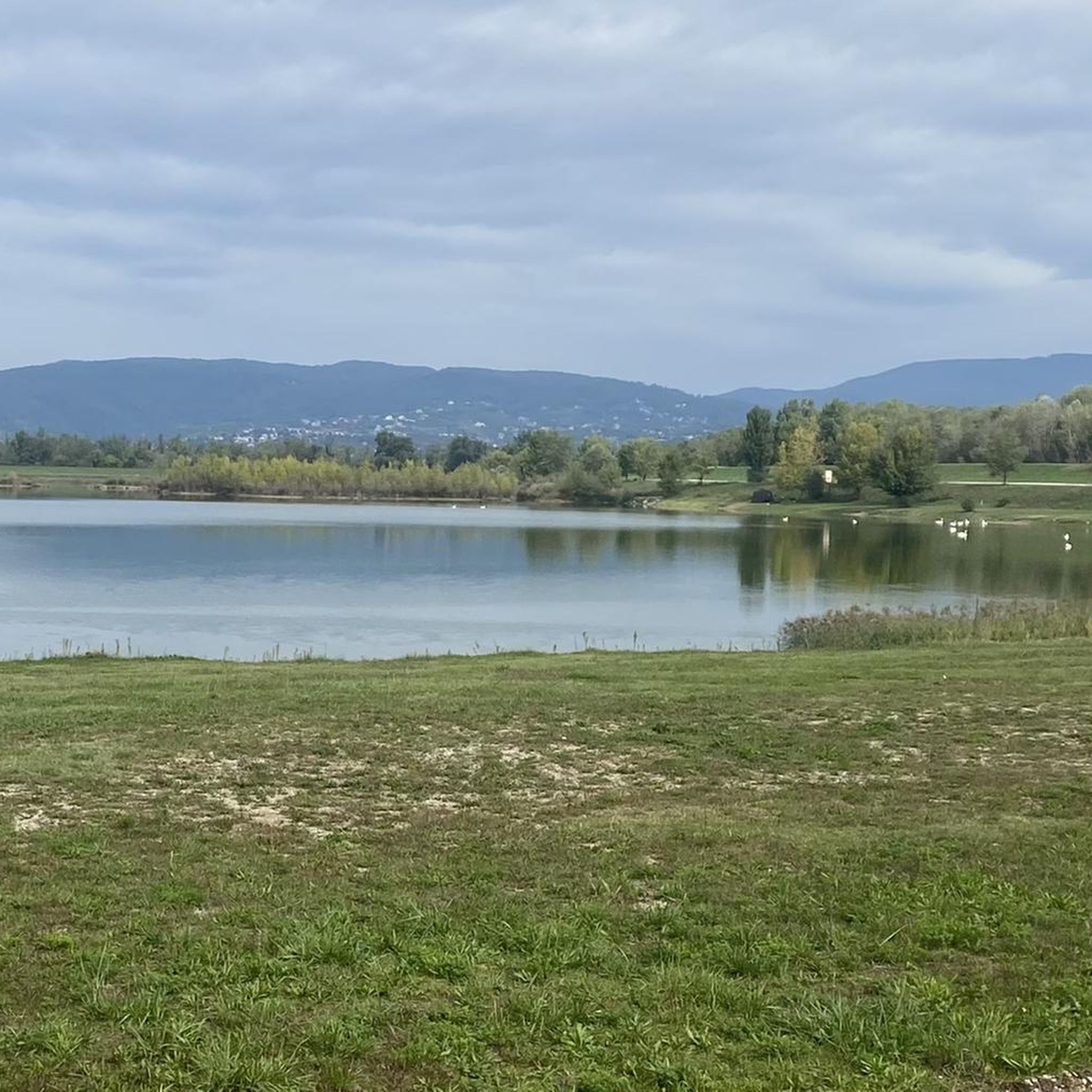
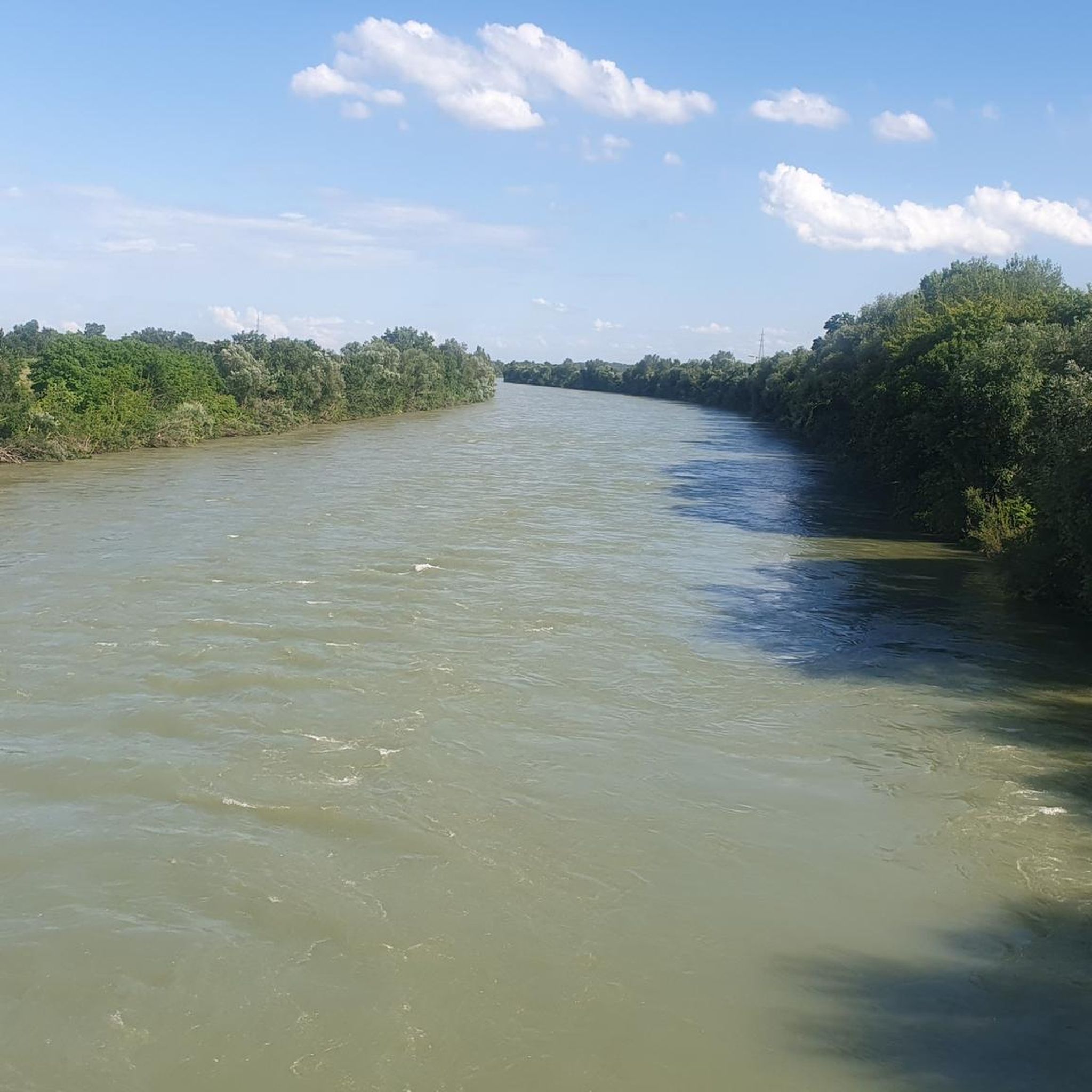
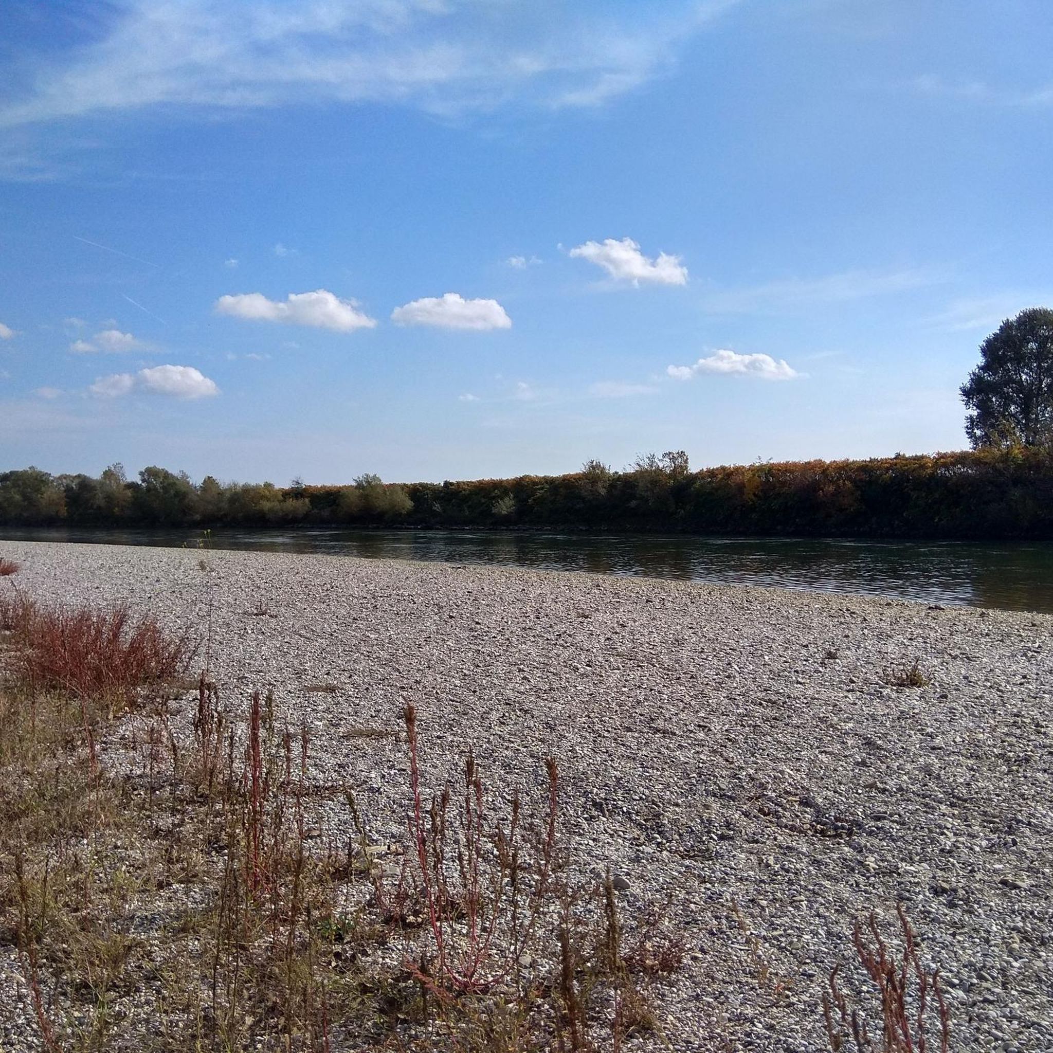
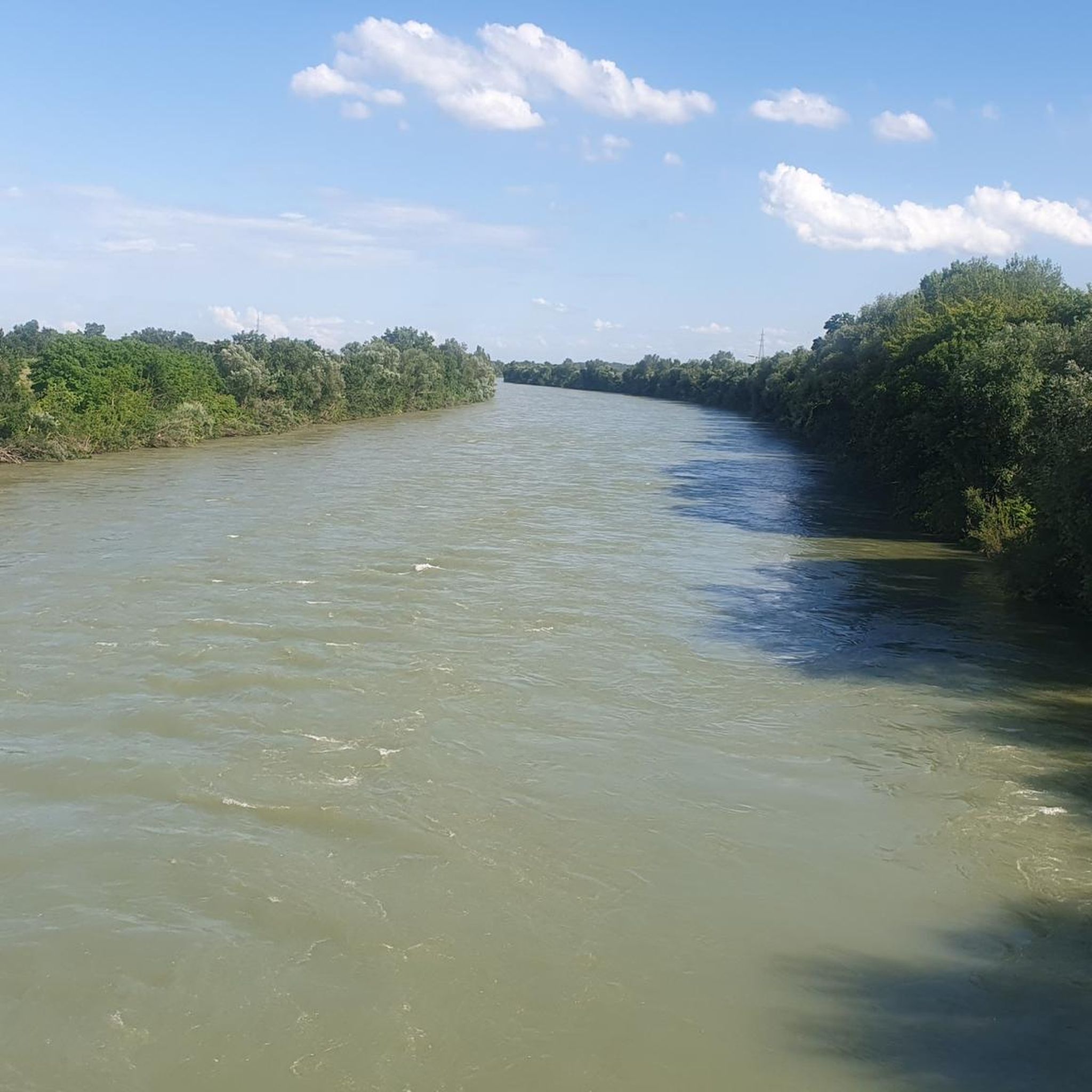
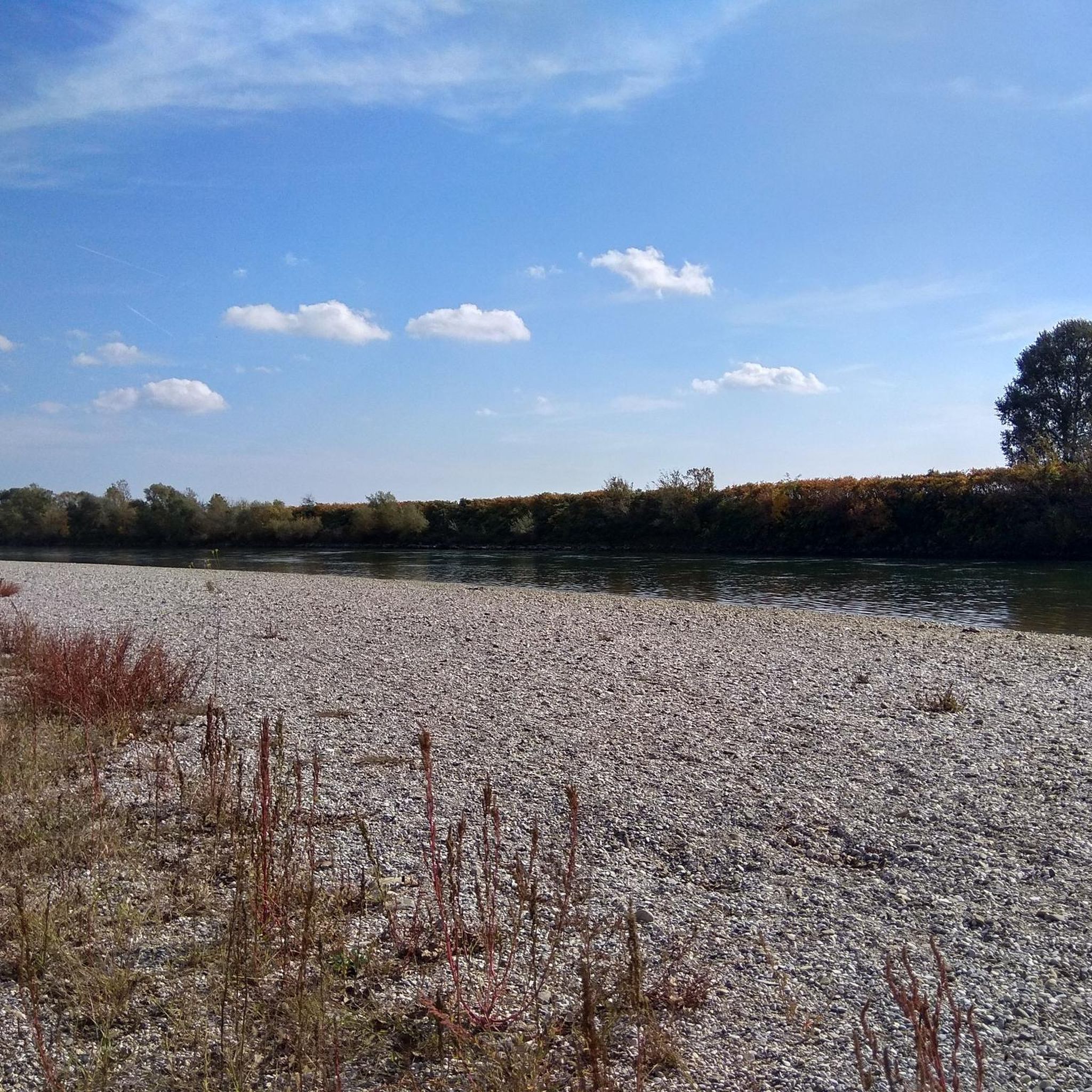

Tips from the Community

Its good for sunset or sunrise photoshoot and it's a bike lane and pedestrian only
0
0

Very good bicycle road. No lights, so bring your own. Watch out for pedestrians walking their dogs.
1
0

View from the climb towards Galgovo
1
0

A nice place to relax with great food.
0
0

The Sava Bridge, also known as the New Sava Road Bridge or the Sava Pedestrian Bridge, is one of the bridges on the Sava River in Zagreb. It was built in 1938 according to a design by Milivoj Frković, on the site of the older Red Bridge, as a steel solid-walled continuous beam structure. Above two steel girders (spaced 5.8 m apart), a reinforced concrete pavement slab was built, which together with its consoles gives the total width of the bridge 9 m. The bridge's level is a convex curve with a final longitudinal slope of 1.65%, and this curvature is followed by the intrados line, which is why the bridge has a harmonious shape. The bridge structure is extremely slender (1:21), taking into account the height of the girders of 250 cm. St44 quality steel was used to build the bridge, which is problematic for welding thick 95 mm thick lamellas, but despite this, by performing welding with preheating, exceptional weld quality was achieved, which is appropriate for the steel used.
1
0

Croatian branch of Garmin, store and service, I personally had a great experience with them.
2
0
The largest sports arena in Croatia, built in 2008 for the purpose of holding the World Handball Championship. Venue for concerts and sports events.
1
0
There is a Francek (public tap) with drinking water. Also, the first part of the National Bicycle Route no. 2, unfortunately so far only a very short length of about 1.5 km.
1
0
Frequently Asked Questions
How many road cycling routes are available around Stupnik?
There are over 170 road cycling routes in the Stupnik area, offering a wide range of options for different skill levels and preferences. These routes are highly rated by the komoot community, with an average score of 4.6 stars.
What kind of terrain can I expect on road cycling routes near Stupnik?
The terrain around Stupnik is diverse, featuring forest communities, meadows, and agricultural lands, often crisscrossed by numerous canals. Routes can range from mostly paved, gentle rides to more challenging options with significant elevation gains, providing varied backdrops for your cycling adventure.
Are there easy road cycling routes suitable for beginners or casual riders?
Yes, Stupnik offers many easy road cycling routes. For example, the Garmin Croatia – Arena Zagreb loop from Horvati is an easy 25.4-mile (40.9 km) trail, and the Kerestinec Castle and Lake – Bus Stop Rest Area loop from Stupnički Obrež is another easy option covering 31.5 miles (50.7 km) with minimal elevation.
What are some challenging road cycling routes for experienced riders?
For more experienced riders seeking a challenge, routes like the Poljanica – Samoborsko Gorje loop from Horvati offer a substantial 41.5 miles (66.7 km) with over 820 feet of elevation gain. Another demanding option is the Pivovara Razum – Bus Stop Rest Area loop from Podsused Stajalište, which covers 28 miles (45 km) with over 550 feet of ascent.
Are there any scenic viewpoints or landmarks along the road cycling routes?
Many routes offer scenic views, such as the View of Samoborsko Gorje – Izletište Milečki loop from Podsused Stajalište, which provides vistas towards Samoborsko Gorje. You can also explore routes that pass by historical sites like Kerestinec Castle and Lake, as seen on the Restoran Tihi Gaj – Kerestinec Castle and Lake loop from Podsused Stajalište.
Can I find circular road cycling routes in Stupnik?
Yes, many of the road cycling routes around Stupnik are designed as loops, allowing you to start and end at the same point. Examples include the Izletište Milečki – Pivovara Razum loop from Strmec and the Rakitje Camp – Church of St. Benedict loop from Podsused Stajalište.
What is the best time of year to go road cycling in Stupnik?
The region's diverse flora and natural landscapes are enjoyable throughout the warmer months. Spring and autumn generally offer pleasant temperatures for cycling, while summer can be great for early morning or late afternoon rides. Winter cycling might be possible but depends on local weather conditions.
What do other road cyclists enjoy most about the routes in Stupnik?
The road cycling routes in Stupnik are highly rated by the komoot community, with an average score of 4.6 stars from over 100 reviews. Reviewers often praise the varied terrain, the accessibility to explore Zagreb County's natural environment, and the well-maintained paths that cater to different ability levels.
Are there any natural attractions or parks nearby that I can combine with a road cycling trip?
While road cycling directly within Stupnik offers scenic views, the nearby region of Brodski Stupnik provides access to the extensive Papuk Nature Park. This park, the largest mountain in Slavonia, offers additional outdoor activities and features like the Jankovac Forest Park, which boasts a 40-meter waterfall, two lakes, and several caves.
Are there options for food and drink along the road cycling routes?
While specific cafes and pubs directly on every route segment are not detailed, the region around Stupnik and its proximity to Zagreb County means you can find various establishments. Some routes pass through or near small towns and villages where you can find places to refuel. For example, the Retro Pub – Kerestinec Castle and Lake loop from Hrvatski Leskovac suggests a starting point near a pub.
What are the typical distances and durations for road cycling routes in Stupnik?
Routes vary significantly. Easy rides, like the Retro Pub – Izletište Milečki loop from Horvati, can be around 17.6 miles (28.3 km) and take about 1 hour 15 minutes. Moderate routes, such as the Restoran Tihi Gaj – Kerestinec Castle and Lake loop from Podsused Stajalište, can extend to over 42.5 miles (68.5 km) and take more than 2 hours 45 minutes.
Most popular routes around Stupnik

Get inspired with the komoot mobile app


Didn’t find what you were looking for?
Check out more Road cycling routes throughout Stupnik below and find the perfect route in your destination.
Explore more
Browse the best Road cycling routes in other regions.
