The best MTB trails around Žakanje
4.7
(32)
79
riders
18
rides
Mountain biking around Žakanje offers diverse terrain characterized by forested hills and the scenic Kupa River. The landscape features a mix of oak, birch, chestnut, and beech forests, providing varied riding environments. This hilly region, with elevations up to Jelen Vrh at 447m, includes karstic formations and offers panoramic views, making it suitable for challenging routes.
Best mountain bike trails around Žakanje
- The most popular mountain bike trail is Sveta Gera Summit – Trdinov vrh (Trdina Peak) loop from Tupčina…
Last updated: October 4, 2026
4.5
(2)
10
riders
41.3km
03:55
1,180m
1,180m
Hard mountain bike ride. Very good fitness required. Advanced riding skills necessary. Some portions of the route may require you to push your bike.
4.3
(8)
7
riders
33.3km
01:58
250m
250m
Easy mountain bike ride. Great for any fitness level. Suitable for all skill levels.

5.0
(3)
8
riders
56.3km
03:40
630m
630m
Moderate mountain bike ride. Good fitness required. Suitable for all skill levels.
4.4
(5)
4
riders
33.7km
02:04
240m
240m
Moderate mountain bike ride. Good fitness required. Advanced riding skills necessary.
4.3
(3)
8
riders
49.1km
03:03
580m
580m
Moderate mountain bike ride. Good fitness required. Advanced riding skills necessary.
5.0
(1)
3
riders
34.3km
02:36
730m
730m
Hard mountain bike ride. Good fitness required. Advanced riding skills necessary. Some portions of the route may require you to push your bike.
4.0
(2)
7
riders
43.6km
02:44
490m
490m
Moderate mountain bike ride. Good fitness required. Suitable for all skill levels.
5.0
(3)
7
riders
41.0km
02:41
510m
510m
Moderate mountain bike ride. Good fitness required. Advanced riding skills necessary.
5.0
(2)
4
riders
29.3km
01:53
280m
280m
Easy mountain bike ride. Great for any fitness level. Suitable for all skill levels.
3
riders
36.4km
02:31
550m
550m
Moderate mountain bike ride. Good fitness required. Suitable for all skill levels.
Get access to more routes and recommendations from other explorers.
Already have an account?
Our route recommendations are based on thousands of hikes, rides, and runs completed by other people on komoot.
Start today with a free account
Your next adventure awaits.
Tips from the Community

There are several buildings at the summit, including an open chapel and a huge radio mast. The panoramic view is very impressive.
0
0

The castle on the bend after which the settlement is named
0
0

In the most extensive karst field of Žumberačka gora lies the village of Sošice, a place whose oldest name - Sussiz, was mentioned for the first time in a document signed by Bernard, the owner of the nearby fortress Sichelberg (Old Town Žumberak) in 1249. Along with five other places on Žumberk, Sošice was then donated to the newly founded Cistercian monastery in Kostanjevica. When the next time in the 16th century mentioned again in the documents, the Žumberac area, ravaged by Turkish conquests, has already become part of the Military Border. Thanks to its location, Sošice has been not only one of the largest settlements in Žumberac since ancient times, but also the most distinctive center of Žumberac. Today, they are one of the most visited tourist spots in Žumberka.
0
0
This place is a symbol of a deep wound in the souls of Croats.
0
0
Sveta Gera is the highest peak of Žumberačka gora. It is located almost on the Slovenian border. The top is a wide undulating glade 350 meters long. Near the top is a disputed military facility that was abandoned by the former JNA in 1991, after which it was occupied by the Slovenian army. Since 1923, Slovenians have called the peak Trdinov vrh after Janez Trdina, a writer from Novi Mesto.
0
0
It consists of an entrance part similar to a well about 34 m deep, at the bottom of which there is an elongated sloping part about 15 m long. In 2020, the remains of 814 victims who were killed there by partisans after the capture of Krašić in January 1943 and then by soldiers of the Yugoslav Army in May and June 1945 were exhumed from the pit.
0
0
The Jazovka mass grave is a pit located in the forest near the village of Sošice in Žumberka and is a protected cultural asset. It is known as the place of mass murder of Croats during and after the end of the Second World War at the hands of Yugoslav partisans.
0
0

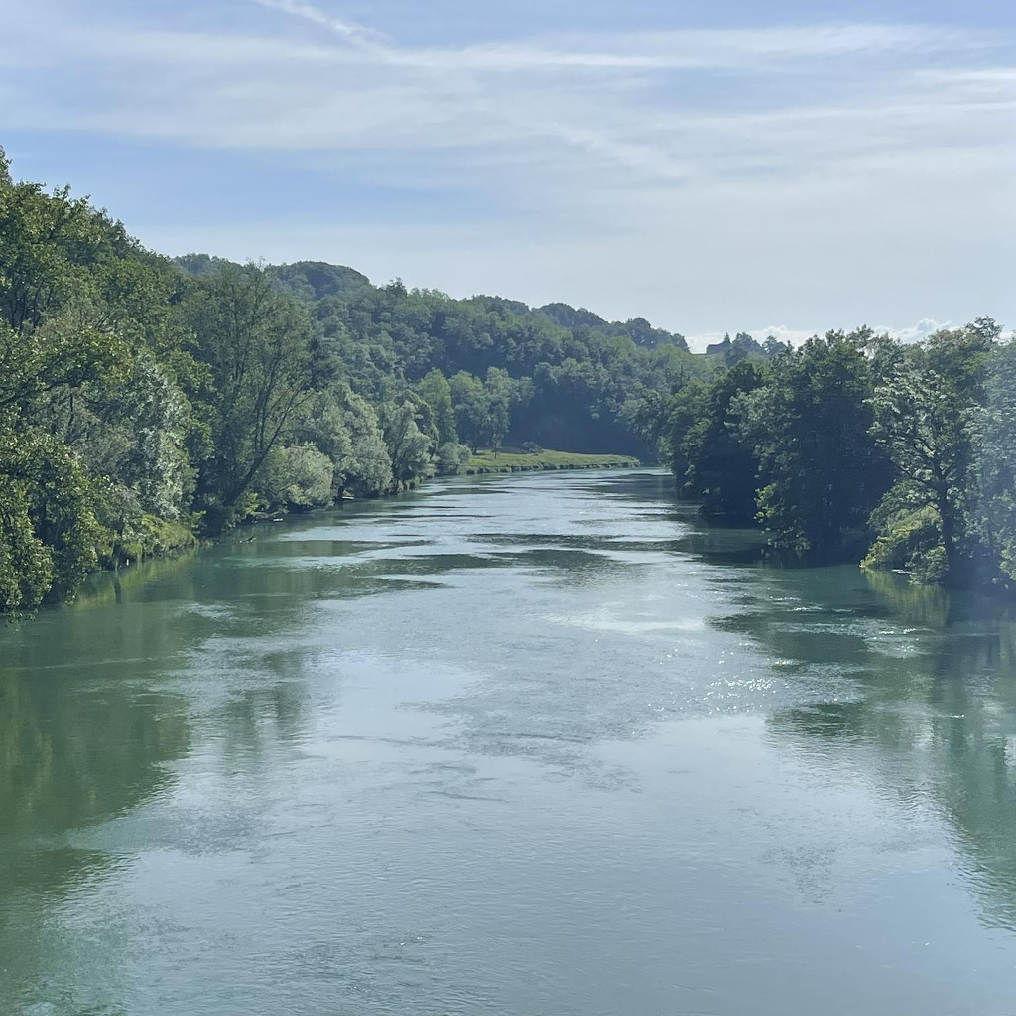
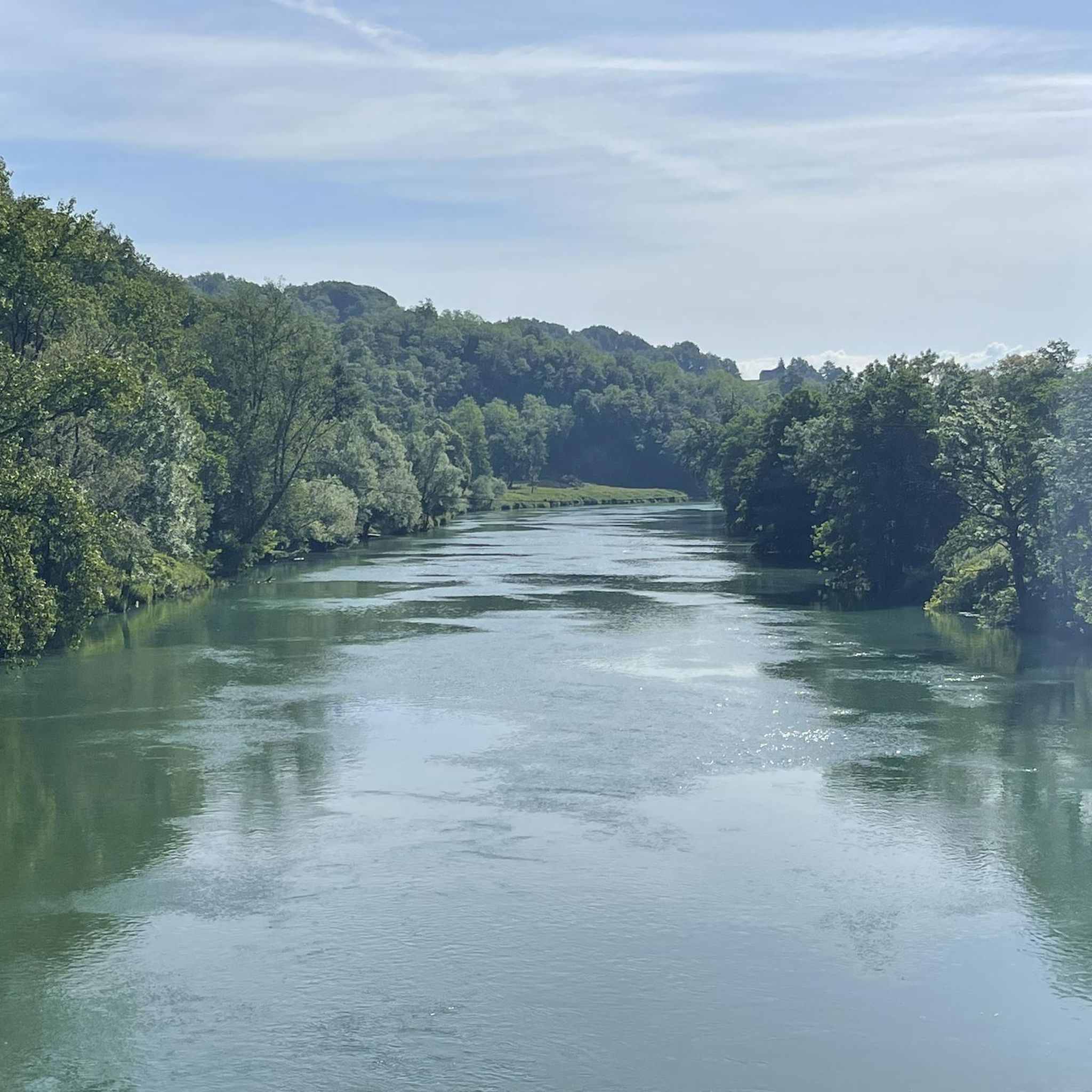
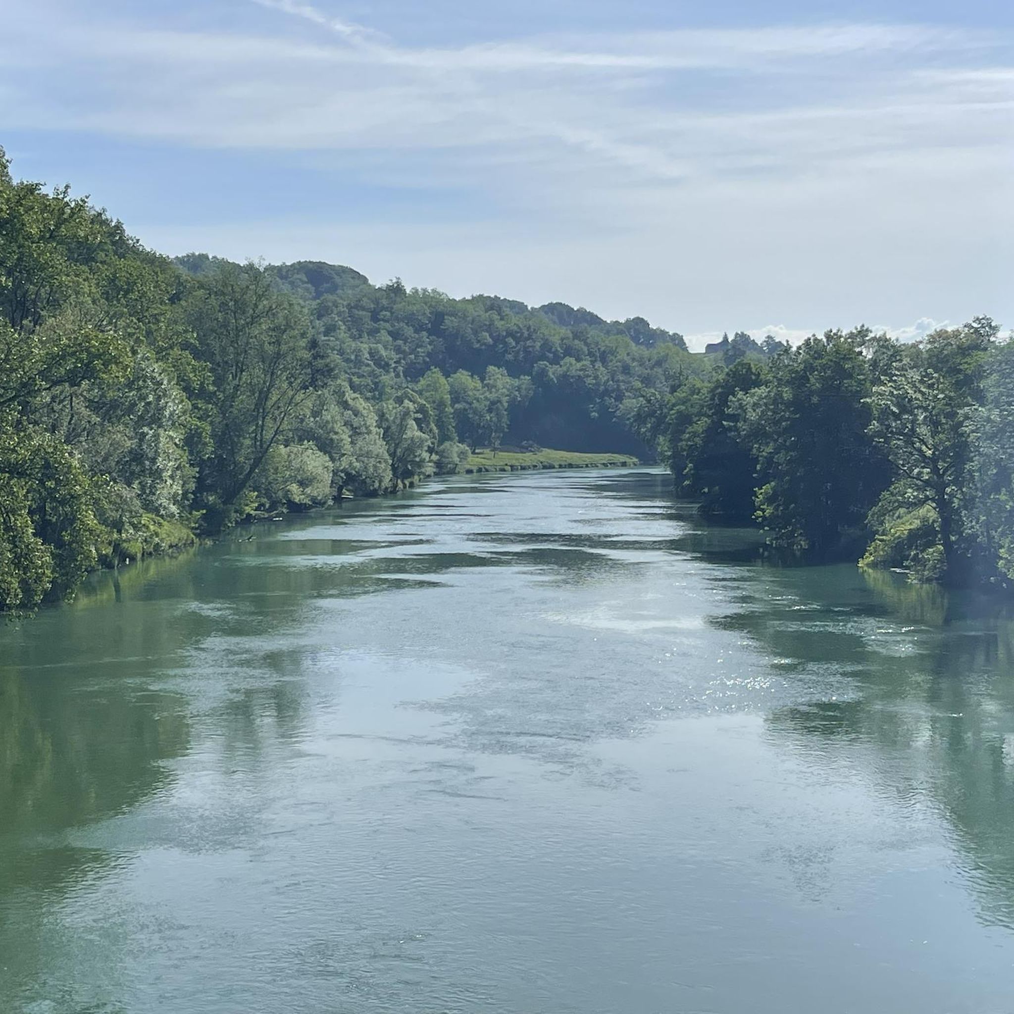
Beautiful bathing spot in the Kolpa River with a campsite nearby. The Slovenian mountain bike trail (STKP) also passes through here.
0
0
Frequently Asked Questions
What kind of terrain can I expect on mountain bike trails around Žakanje?
Mountain biking around Žakanje offers a diverse landscape characterized by forested hills and the scenic Kupa River. You'll encounter a mix of oak, birch, chestnut, and beech forests, providing varied riding environments. The region is hilly, with elevations reaching up to Jelen Vrh at 447m, and features karstic formations like coves and sinkholes, adding to the rugged and interesting terrain.
Are there any waterfalls or scenic river spots along the mountain bike routes?
Yes, the Kupa River, which flows through the Žakanje municipality, is a significant natural feature. It boasts twelve beautiful waterfalls along its course through Žakanje, such as Sračak, Pravutina, Mišinci, and Bubnjarec. While not directly on all mountain bike trails, these waterfalls and the river itself offer scenic resting points and can be incorporated into your ride. For example, the Swimming spot on the Kolpa River – Kolpa Landscape Park loop from Grm pri Podzemlju explores the river area.
Can I find family-friendly mountain bike trails in Žakanje?
While many trails in Žakanje feature hilly and challenging terrain, there are options for less strenuous rides. For an easier experience, consider routes like the Source of the Krupa River – Črnomelj loop from Grm pri Podzemlju, which is rated as easy and explores the area around the Krupa River. Always check the route details for elevation gain and technical difficulty to ensure it suits your family's skill level.
What are the best times of year for mountain biking in Žakanje?
The forested hills of Žakanje offer shade, which can be appealing during warmer months. However, spring and autumn generally provide the most pleasant conditions for mountain biking, with milder temperatures and beautiful seasonal foliage. It's always advisable to check local weather forecasts before heading out, especially during periods of heavy rain, as trails can become muddy.
Are there challenging mountain bike routes for experienced riders in Žakanje?
Absolutely. Žakanje's hilly terrain provides significant challenges for experienced mountain bikers. Routes like the Sveta Gera Summit – Trdinov vrh (Trdina Peak) loop from Tupčina are rated as difficult and feature substantial elevation gain towards prominent peaks. Another demanding option is the View of Semič loop from Trnovec, a longer trail leading through varied and often challenging terrain.
Where can I find panoramic views while mountain biking in Žakanje?
The hilly nature of Žakanje provides numerous vantage points offering expansive views. Notable viewpoints include Donji Bukovac (156m above sea level) and Jugovac (415m above sea level). The highest peak in the municipality, Jelen Vrh at 447m, also offers rewarding climbs and stunning vistas of the Kupa River and the surrounding Žumberak mountains. Many routes will naturally lead you to elevated areas with scenic outlooks.
What do other mountain bikers say about the trails in Žakanje?
The mountain bike routes in Žakanje are highly rated by the komoot community, with an average score of 4.9 stars from over 20 reviews. Mountain bikers often praise the varied terrain, the beauty of the forested hills, and the peaceful flow of the Kupa River, making for a rewarding outdoor experience.
Are there options for longer mountain bike tours in the Žakanje area?
Yes, Žakanje offers several longer mountain bike tours. For example, the View of Semič loop from Trnovec is a substantial 75.3 km (46.8 miles) trail, often completed in about 6 hours 20 minutes. Another option is the Swimming spot on the Kolpa River – Kolpa Landscape Park loop from Grm pri Podzemlju, which covers 56.3 km (35 miles).
Where can I park my car when going mountain biking in Žakanje?
While specific parking areas for mountain bikers are not detailed in the provided data, Žakanje is a municipality that promotes cycle tourism. It is generally advisable to look for designated parking in the main settlements or near popular trailheads. Always ensure you are parking legally and respectfully.
Are there any specific permits required for mountain biking in Žakanje?
There is no indication in the provided information that specific permits are required for mountain biking on the general trails around Žakanje. However, it's always good practice to respect local regulations, especially if riding through private land or protected areas. For general information about the region, you can visit Visit Karlovac County.
Can I find places to eat or stay near the mountain bike trails in Žakanje?
Žakanje is a rural area, but as a destination promoting cycle tourism, you can expect to find local establishments. While specific cafes, pubs, or accommodations are not listed in the trail data, the municipality's focus on tourism suggests that options for refreshments and lodging would be available in or near the main settlements like Žakanje itself or Jurovski Brod.
How many mountain bike trails are available in the Žakanje area?
There are over 19 mountain bike trails documented and available for exploration around Žakanje on komoot, offering a wide range of options for different skill levels and preferences.
Are there any routes that explore the karstic features of the region?
The Žakanje area is predominantly limestone and exhibits karstic characteristics such as coves, sinkholes, dolines, caves, and swallow-holes. While specific routes directly entering caves are not detailed for mountain biking, many trails will traverse this rugged and geologically interesting landscape, allowing you to experience these unique formations indirectly.

Get inspired with the komoot mobile app


Explore more
Browse the best MTB trails in other regions.
