The best walks and hikes around Koprivnica
4.4
(16)
69
hikers
10
hikes
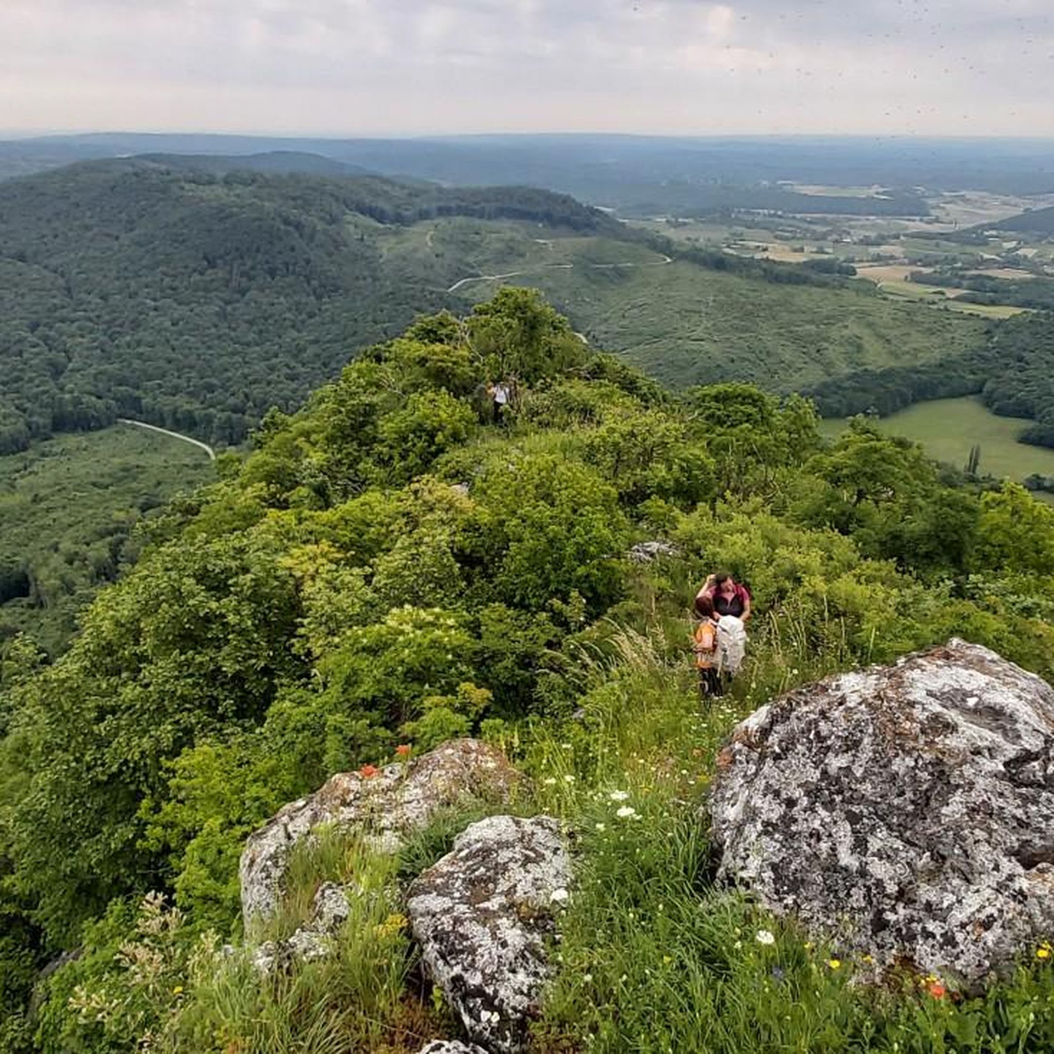
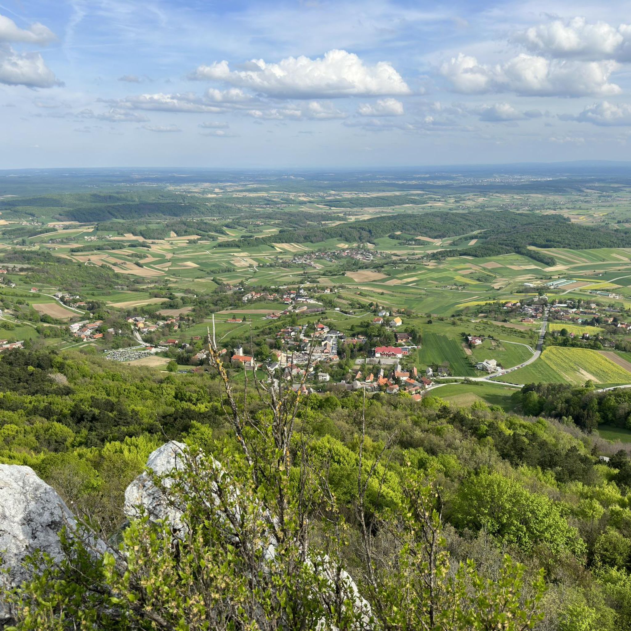
Hiking around Koprivnica offers diverse natural landscapes, blending mountains, rivers, and unique geological formations. The region features the Kalnik Mountain Range with its limestone rocks and ancient oak forests, alongside the gentle Bilogora Mountains. The Drava River flows nearby, contributing to a rich biodiversity of forests and lakes. This varied terrain provides a range of experiences for nature enthusiasts.
Best hiking trails around Koprivnica
- The most popular hiking route is Stankov Vrh (309 m) – Anin Vrh Mountain Hut loop from Koprivnica-Križevci County, a 10.3 miles (16.5 km) trail that takes 4 hours 27 minutes to complete, offering a moderate challenge through varied terrain.
- Another top favourite among local hikers is Planinarska kuća Rudi Jurić loop from Zvirišće, a moderate 5.4 miles (8.8 km) path winding through the region's forests and gentle hills.
- Local hikers also love the Interspar Supermarket loop from Koprivnica, a 4.8 miles (7.7 km) trail leading through the local surroundings, often completed in about 1 hour 56 minutes.
- Hiking around Koprivnica is defined by the Kalnik Mountain Range, the Drava River, and the gentle Bilogora Mountains. The network offers options for different ability levels, from easy strolls to more challenging ascents.
- The routes in Koprivnica are highly rated by the komoot community with an average score of 4.8 stars from over 17 reviews. More than 69 hikers have used komoot to explore Koprivnica's varied terrain.
Last updated: August 27, 2026
4.7
(7)
26
hikers
Moderate hike. Good fitness required. Easily-accessible paths. Suitable for all skill levels.
5.0
(1)
12
hikers
8.78km
02:23
130m
130m
Moderate hike. Good fitness required. Easily-accessible paths. Suitable for all skill levels.

Sign up for free
4.8
(5)
7
hikers
13.6km
03:50
280m
280m
Moderate hike. Good fitness required. Easily-accessible paths. Suitable for all skill levels.
4.5
(2)
5
hikers
23.3km
06:10
220m
220m
Hard hike. Very good fitness required. Easily-accessible paths. Suitable for all skill levels.
5
hikers
7.85km
02:18
220m
220m
Moderate hike. Good fitness required. Easily-accessible paths. Suitable for all skill levels.
4
hikers
7.72km
01:57
10m
10m
Easy hike. Great for any fitness level. Easily-accessible paths. Suitable for all skill levels.
Get access to more routes and recommendations from other explorers.
Sign up for free
Already have an account?
Our route recommendations are based on thousands of hikes, rides, and runs completed by other people on komoot.
Start today with a free account
Your next adventure awaits.
Login or Signup

Tips from the Community

The road from Ana to Stankov Vrh is paved, so you can also drive there ;)
0
0

A good place to replenish food supplies
1
0

Stankov vrh or Rajčevica is the highest peak of Bilogora at 309 m. At the top there are (slightly worn) benches, as well as a plaque and a box with a hiking stamp.
1
0
Mountain house, with beautifully landscaped surroundings. Of course, it is locked without notice, but you can rest there.
1
0
A very nice place to relax, rest, eat something... And the walk, although short, is very beautiful and interesting. Lots of mushrooms in autumn.
5
0
He would never remember that habit
2
0
Thank you Jurice for the detailed description
3
1

The mountain house Anin vrh is located in a gentle Bilogora landscape, on a meadow surrounded by forests on the ridge of Bilogora, 40 minutes walk from Stankov vrh, and 10 minutes from the route of the Koprivnica mountain road. It is a beautiful ground floor house with a decorated attic that mountaineer Branka Vrabec donated to HPD Bilo, and the house is named after her sister Anica Vrabec. The southeast-oriented terrace allows for a pleasant stay outdoors. The house has no electricity or water, and a wood stove can be used for heating and food preparation.
2
1
Frequently Asked Questions
How many hiking trails are available around Koprivnica?
Koprivnica and its surroundings offer a good selection of hiking routes, with over 10 trails documented on komoot. These routes vary in difficulty, ensuring options for different skill levels, from easy strolls to more challenging ascents.
What kind of terrain can I expect on hikes near Koprivnica?
The region around Koprivnica features diverse terrain. You'll find the more challenging paths of the Kalnik Mountain Range, known for its bare limestone rocks and ancient oak forests, leading to peaks like Vranilac. In contrast, the Bilogora Mountains offer gentler slopes and serene landscapes. Additionally, routes along the Drava River provide flatter, scenic experiences.
Are there any easy hiking routes suitable for beginners or families?
Yes, Koprivnica offers several easy routes perfect for beginners or families. For instance, the Interspar Supermarket loop from Koprivnica is an easy 4.8-mile (7.7 km) trail that can be completed in under two hours, offering a pleasant walk through local surroundings. The region generally provides options from easy paths up to 2 hours with minimal elevation gain.
Can I find circular hiking routes in the Koprivnica area?
Yes, many of the hiking routes around Koprivnica are designed as loops, offering convenient circular walks. Popular examples include the moderate Stankov Vrh (309 m) – Anin Vrh Mountain Hut loop from Koprivnica-Križevci County and the Planinarska kuća Rudi Jurić loop from Zvirišće, both providing varied terrain and scenic views.
What natural landmarks or viewpoints can I discover while hiking?
Hikers can explore several notable natural landmarks and viewpoints. The ascent to Vranilac Peak (643 meters) in the Kalnik Mountain Range offers breathtaking panoramic views. The Drava River, often called the “Croatian Amazon,” provides scenic riverine landscapes. You can also visit Šoderica Lake, part of the Mura-Drava Regional Park, for relaxation and natural beauty.
Are there opportunities to see wildlife on the trails?
The region boasts rich biodiversity, particularly in the Kalnik area with its exceptional wealth of plant species. The Veliki Pažut ornithological reserve near Legrad, close to the confluence of the Mura and Drava Rivers, is crucial for bird migration and wintering, making it an excellent spot for birdwatchers and nature lovers to observe various species.
Is Koprivnica a good destination for dog-friendly hikes?
While specific dog-friendly regulations for each trail are not detailed, the natural and varied landscapes of Koprivnica, including forests, rivers, and gentle mountains, generally offer suitable environments for hiking with dogs. It's always recommended to keep dogs on a leash and clean up after them to respect local wildlife and other hikers.
What is the best time of year to go hiking in Koprivnica?
Koprivnica offers hiking opportunities throughout much of the year. Spring and autumn are particularly pleasant, with mild temperatures and vibrant natural colors. Summer can be warm, but routes through forested areas or near the Drava River offer cooler options. Winter hiking is possible, especially on lower elevation trails, but requires appropriate gear for colder conditions.
Are there any unique natural features to explore besides mountains and rivers?
Yes, Koprivnica is home to a truly unique natural formation: the “Croatian Sahara” or Đurđevački Pijesci. This small desert-like environment offers a distinctive and attractive landscape that stands out from the region's typical mountains and rivers, providing a rare opportunity to explore a different kind of natural beauty.
Where can I find parking for hiking trails around Koprivnica?
Many trailheads and popular hiking areas around Koprivnica, especially those leading into the Kalnik or Bilogora mountains, typically have designated parking areas. For specific routes, it's advisable to check the komoot tour details, as they often provide information on starting points and parking availability.
Are there any mountain huts or places to rest along the trails?
Yes, some routes feature mountain huts or excursion sites. For example, the Stankov Vrh (309 m) – Anin Vrh Mountain Hut loop includes the Anin Vrh Mountain Hut. Additionally, the Jastrebov Vrh Excursion Site on the slopes of Bilogora, just 5 km from Koprivnica, offers a place to relax, enjoy homemade food, and find shade under old walnut trees.
What do other hikers say about the trails in Koprivnica?
The hiking trails around Koprivnica are highly rated by the komoot community, with an average score of 4.8 stars from over 17 reviews. Hikers often praise the diverse landscapes, from challenging mountain ascents to serene river paths, and the well-maintained nature of the routes. Many appreciate the opportunity to explore both natural beauty and historical sites like the Veliki Kalnik Castle Ruins.
Are there any longer or more challenging routes for experienced hikers?
Experienced hikers seeking a challenge will find options in the Kalnik Mountain Range. Routes like the Stankov Vrh (309 m) loop from Koprivnica, a difficult 14.4-mile (23.2 km) trail, offer significant elevation gain and require good fitness. These routes provide rewarding views and a more strenuous experience.

Get inspired with the komoot mobile app


Explore more
Browse the best Hikes in other regions.
