The best walks and hikes around Mihovljan
4.5
(37)
241
hikers
5
hikes
Hiking around Mihovljan offers trails through the hilly and mountainous terrain of the Krapina-Zagorje region in Croatia. The area features routes with notable elevation changes, leading to mountain peaks and viewpoints. These trails often traverse forested areas and provide access to higher elevations. The landscape is characterized by its varied topography, suitable for different levels of hiking experience.
Best hiking trails around Mihovljan
- The most popular hiking route is Pasarićeva Kuća Mountain Hut – Ivanščica Peak (1,060 m) loop from…
Last updated: July 5, 2026
4.4
(13)
86
hikers
13.6km
04:58
690m
690m
Moderate hike. Good fitness required. Mostly accessible paths. Sure-footedness required.
4.8
(12)
85
hikers
Moderate hike. Good fitness required. Mostly accessible paths. Sure-footedness required.

Sign up for free
4.9
(7)
45
hikers
12.7km
05:16
760m
760m
Hard hike. Very good fitness required. Mostly accessible paths. Sure-footedness required.
4.0
(5)
17
hikers
Moderate hike. Good fitness required. Mostly accessible paths. Sure-footedness required.
3
hikers
9.07km
02:27
110m
110m
Moderate hike. Good fitness required. Easily-accessible paths. Suitable for all skill levels.
Our route recommendations are based on thousands of hikes, rides, and runs completed by other people on komoot.
Start today with a free account
Your next adventure awaits.
Login or Signup
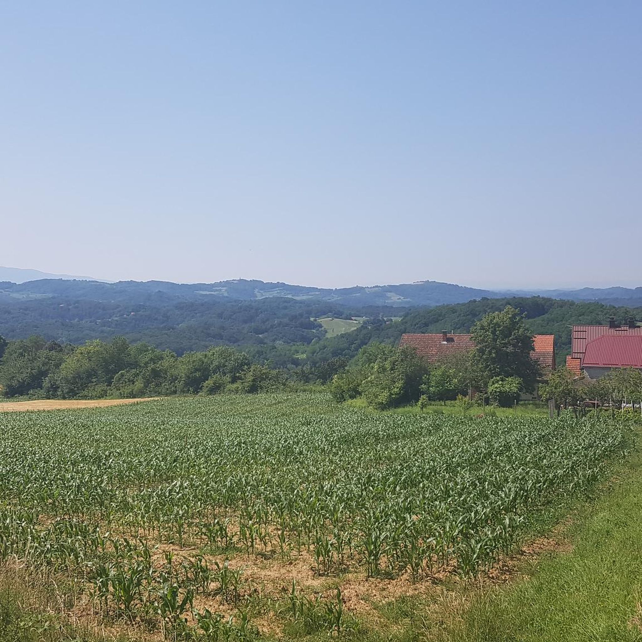
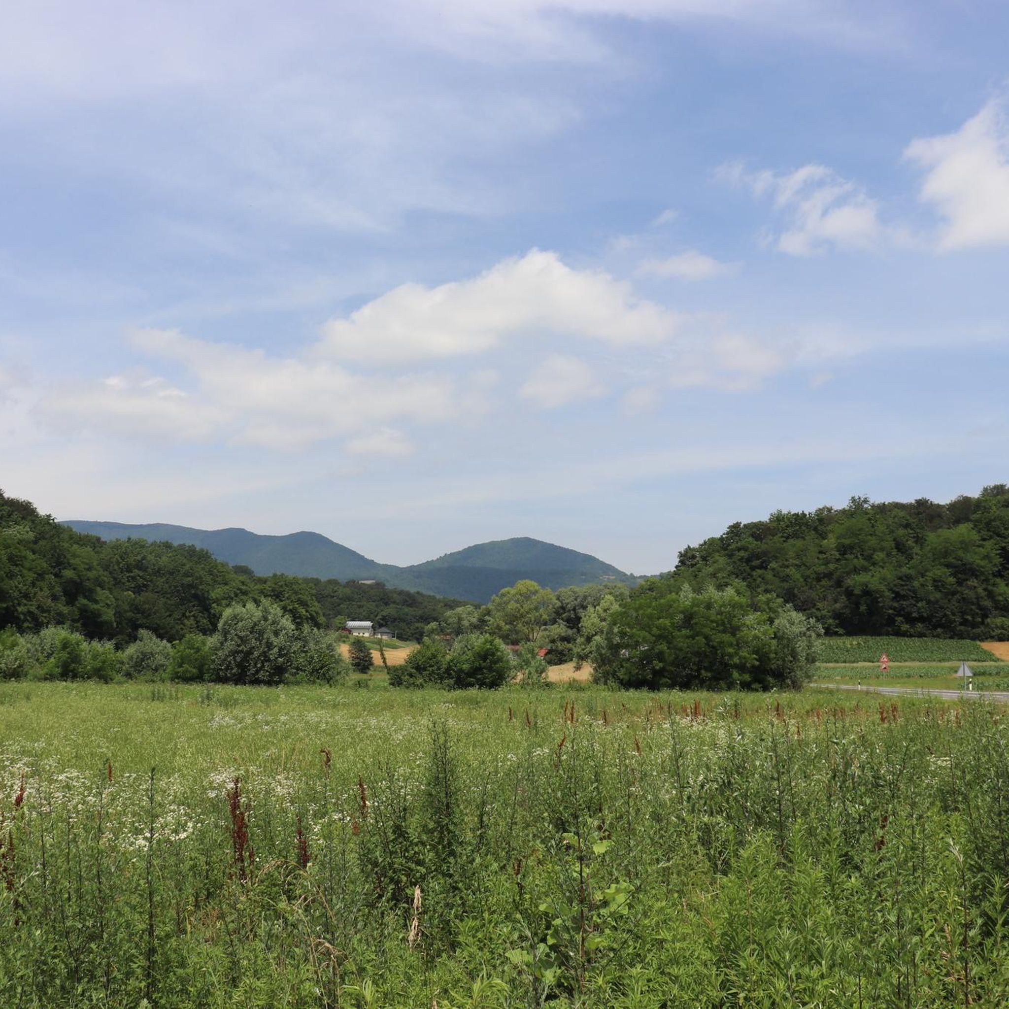
Tips from the Community

There are a few roots, so it's worth taking care of your legs and tendons on the descent.
0
0
Nice place. Good view and feeling of spaciousness.
0
0

The beginning of the newly constructed forest road from Lobor to Črni mlake on Ivanščica.
0
0

the home is open on weekends, they have tea, beer, hydra...
1
0
the view above the clouds, fantastic ;)
0
0
The statue of Our Lady of Health is in front of the chapel.
0
0
Frequently Asked Questions
How many hiking trails are available around Mihovljan?
There are 5 hiking routes detailed around Mihovljan, offering a variety of experiences through the Krapina-Zagorje region. These trails are generally rated moderate to difficult, providing options for different skill levels.
What kind of terrain and views can I expect on hikes near Mihovljan?
Hikes around Mihovljan feature hilly and mountainous terrain, often traversing forested areas and leading to mountain peaks and viewpoints. You can expect notable elevation changes and panoramic views, particularly from summits like Ivanščica Peak or viewpoints on Strahinjščica.
Are there any challenging hiking trails in the Mihovljan area?
Yes, Mihovljan offers challenging routes. For instance, the Pasarićeva Kuća Mountain Hut – Ivanščica Peak (1,060 m) loop from Lobor is a difficult 8.7-mile trail that ascends to Ivanščica Peak, known for its panoramic views. Another difficult option is the Sušec Summit (Strahinjičica) – Forest Shelter loop from Strahinje.
Are there any moderate or less strenuous hiking options around Mihovljan?
Yes, there are several moderate options. The Viewpoint on Strahinjščica – Sušec Summit (Strahinjičica) loop from Krapina is a moderate 6.5-mile path leading to a viewpoint. Another moderate trail is the Church of St. Barbara – Honka Wooden House and Garden loop from Mirkovec, which is 5.6 miles long and offers varied terrain.
Are there any circular hiking routes available?
Many of the trails around Mihovljan are designed as loops, allowing you to start and end at the same point. Examples include the difficult Pasarićeva Kuća Mountain Hut – Ivanščica Peak (1,060 m) loop from Lobor and the moderate Viewpoint on Strahinjščica – Sušec Summit (Strahinjičica) loop from Trški Vrh.
What do other hikers say about the trails in Mihovljan?
The hiking routes in Mihovljan are highly rated by the komoot community, with an average score of 4.6 stars from over 30 reviews. Hikers often praise the varied terrain, the challenge of the ascents, and the rewarding views from the peaks.
Is Mihovljan a good area for family-friendly hikes?
While Mihovljan's trails are generally moderate to difficult with significant elevation changes, some of the shorter moderate loops, like the Church of St. Barbara – Honka Wooden House and Garden loop from Mirkovec, might be suitable for families with older children who are accustomed to hiking. Always check the specific trail details for distance and elevation to ensure it matches your family's ability.
Can I bring my dog on the hiking trails around Mihovljan?
Generally, dogs are welcome on public hiking trails in Croatia, provided they are kept on a leash and you clean up after them. It's always advisable to check local regulations or specific trail signs for any restrictions, especially in protected natural areas. Ensure your dog is fit for the moderate to difficult terrain and elevation changes.
What is the best time of year to go hiking in Mihovljan?
The Krapina-Zagorje region, where Mihovljan is located, generally offers pleasant hiking conditions during spring, summer, and autumn. Spring brings blooming nature, while autumn provides vibrant foliage. Summer can be warm, so early morning or late afternoon hikes are recommended. Winter hiking is possible but may require appropriate gear for snow and ice, especially on higher peaks.
Are there specific peaks or landmarks to look out for while hiking?
Yes, prominent features include Ivanščica Peak, which offers panoramic views, and viewpoints on Strahinjščica. The trails often lead through forested areas, providing a natural and scenic experience. The Church of St. Barbara – Honka Wooden House and Garden loop from Mirkovec also passes by cultural landmarks.
What are the typical distances and durations for hikes in this area?
The hikes around Mihovljan vary in length and duration. You can find routes ranging from approximately 5.3 miles (8.5 km) to 8.7 miles (14 km). Durations can range from about 2.5 hours for shorter, moderate trails to over 5 hours for more difficult and longer ascents.
Is parking available at the trailheads, or should I consider public transport?
Specific parking information for each trailhead is best found on the individual route pages. Generally, for trails starting from towns like Lobor, Krapina, or Mirkovec, there are often local parking options. Public transport in rural Croatian areas can be limited, so planning your journey by car is often the most convenient way to access trailheads.

Get inspired with the komoot mobile app


Explore more
Browse the best Hikes in other regions.
