The best walks and hikes around Gillersdorf
4.6
(5065)
17,379
hikers
654
hikes
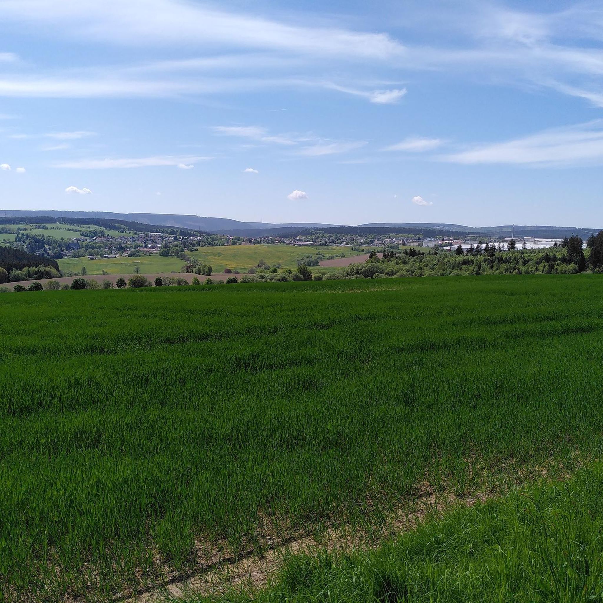
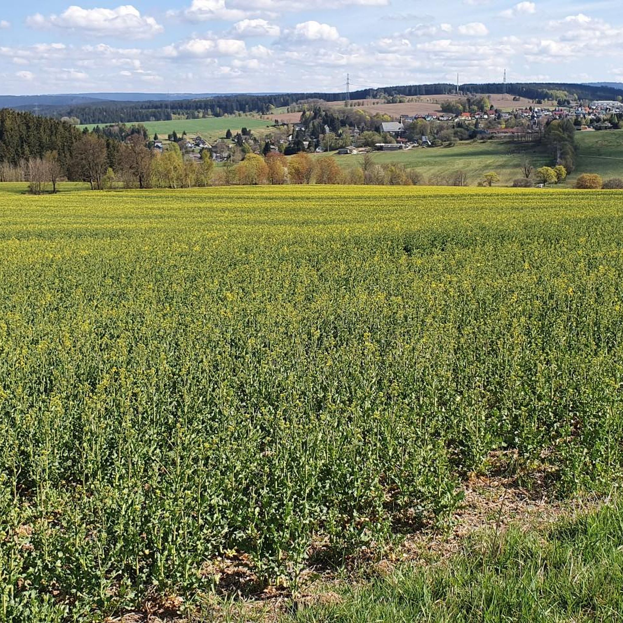
Hiking around Gillersdorf offers trails through the Thuringian Forest, characterized by rolling hills and dense woodlands. The region features historical slate quarries and various viewpoints, providing diverse landscapes for outdoor activities. Elevations are generally moderate, making many routes accessible.
Best hiking trails around Gillersdorf
- The most popular hiking route is Bank of the Giants – View of the Thuringian Forest loop from Herschdorf, a 4.9 miles (7.9 km) trail that takes 2 hours 13 minutes to complete. This moderate…
Last updated: June 25, 2026
4.7
(38)
102
hikers
7.95km
02:13
150m
150m
Moderate hike. Good fitness required. Easily-accessible paths. Suitable for all skill levels.
4.5
(15)
39
hikers
Easy hike. Great for any fitness level. Easily-accessible paths. Suitable for all skill levels.

Sign up for free
4.6
(5)
19
hikers
Easy hike. Great for any fitness level. Easily-accessible paths. Suitable for all skill levels.
5.0
(2)
9
hikers
Moderate hike. Good fitness required. Easily-accessible paths. Suitable for all skill levels.
5.0
(1)
8
hikers
5.77km
01:38
130m
120m
Easy hike. Great for any fitness level. Easily-accessible paths. Suitable for all skill levels.
Get access to more routes and recommendations from other explorers.
Sign up for free
Already have an account?
Our route recommendations are based on thousands of hikes, rides, and runs completed by other people on komoot.
Start today with a free account
Your next adventure awaits.
Login or Signup
Tips from the Community

A beautiful piece of home.
0
0

This hiking trail (Thuringian Herb Garden Nature Park Trail), especially the "Mushroom Trail" section, is one of the best, if not the best/most beautiful, of all the hiking trails I have ever hiked, in terms of its design, signage, and overall quality. All stations were/are intact and labeled. Family-friendly... Many thanks to the creators and maintainers of the trails.
0
0

Very nice to look at
2
0

the undergrowth would have to be cut at the viewing board
0
0


Interesting, but unfortunately quite hidden and overgrown!
0
0

Forester Karl Günther Monument
0
0
It's a very nice idea.
0
0
Frequently Asked Questions
How many hiking trails are available around Gillersdorf?
There are over 600 hiking trails around Gillersdorf, offering a wide range of options for all skill levels. This includes more than 320 easy routes, 310 moderate trails, and 30 challenging hikes.
Are there easy hiking trails suitable for beginners or families in Gillersdorf?
Yes, Gillersdorf offers many easy trails perfect for beginners or families. An excellent option is the Bank of the Giants loop from Herschdorf, an easy 3.4-mile (5.5 km) path with gentle terrain. Another family-friendly choice is the Prince Carl Günther Monument – Gillersdorf Slate Quarries loop from Möhrenbach, which is 3.5 miles (5.6 km) and explores historical sites.
What kind of terrain can I expect on hikes around Gillersdorf?
Hikes around Gillersdorf typically feature the rolling hills and dense woodlands characteristic of the Thuringian Forest. You'll also encounter historical slate quarries and various scenic viewpoints, with generally moderate elevations making most routes accessible.
Are there any circular hiking routes in Gillersdorf?
Many routes in Gillersdorf are circular. For example, the Bank of the Giants – View of the Thuringian Forest loop from Herschdorf is a popular moderate 4.9-mile (7.9 km) option. Another great circular trail is the Gillersdorf Slate Quarries – Prince Carl Günther Monument loop from Gillersdorf, covering 5 miles (8.1 km).
What are some notable viewpoints or attractions along the trails?
The region offers several viewpoints and interesting landmarks. You can find excellent views from the Meuselbacher Kuppe Observation Tower and Guesthouse or the Fröbel Observation Tower. The Prince Karl-Günther Monument on Langer Berg is another significant landmark often included in routes.
Is Gillersdorf a good destination for dog-friendly hikes?
Yes, the forested trails and natural landscapes around Gillersdorf are generally very suitable for hiking with dogs. Many routes offer ample space for dogs to explore, but always remember to keep your dog on a leash where required and clean up after them.
What do other hikers say about the trails in Gillersdorf?
The komoot community highly rates the trails in Gillersdorf, with an average score of 4.6 stars from over 4,800 reviews. Hikers often praise the well-maintained paths, the peaceful forest atmosphere, and the diverse scenery, including historical slate quarries and panoramic views.
Are there any hikes that explore the historical slate quarries?
Absolutely. The region is known for its historical slate quarries. You can explore them on the Gillersdorf Slate Quarries – Rest area on the Langen Berg loop from Gillersdorf, an easy 4-mile (6.4 km) route that takes you through this unique landscape.
When is the best time of year to go hiking in Gillersdorf?
Gillersdorf is beautiful for hiking throughout much of the year. Spring brings lush greenery, while autumn offers stunning fall foliage in the Thuringian Forest. Summer is ideal for longer days, and even winter can be magical for snowshoeing or crisp walks, though some paths might be icy.
Is parking available near the trailheads in Gillersdorf?
Yes, parking is generally available in and around Gillersdorf, particularly near popular trail starting points in villages like Herschdorf and Möhrenbach. Specific parking information can often be found on individual route descriptions on komoot.
Can I reach the hiking trails around Gillersdorf using public transport?
While Gillersdorf is primarily accessed by car, some villages in the wider Thuringian Forest region have bus connections. It's advisable to check local bus schedules for specific routes and stops that might be close to your desired trailhead.
Most popular routes around Gillersdorf
Most popular attractions around Gillersdorf

Get inspired with the komoot mobile app


Explore more
Browse the best Hikes in other regions.
