The best walks and hikes around Zlatar Bistrica
4.8
(32)
201
hikers
16
hikes
Hiking around Zlatar Bistrica offers diverse landscapes, characterized by the Ivanščica mountain range, rolling hills, and varied terrain suitable for different skill levels. The region features significant elevation changes, particularly on routes leading to prominent peaks and observation decks. Hikers can explore paths through woodlands, past historical ruins, and to scenic viewpoints overlooking the surrounding Zagorje region.
Best hiking trails around Zlatar Bistrica
- The most popular hiking route is Pasarićeva Kuća Mountain Hut – Ivanščica Peak (1,060 m) loop from…
Last updated: July 5, 2026
4.4
(13)
86
hikers
13.6km
04:58
690m
690m
Moderate hike. Good fitness required. Mostly accessible paths. Sure-footedness required.
4.5
(6)
41
hikers
Moderate hike. Good fitness required. Mostly accessible paths. Sure-footedness required.

Sign up for free
4.5
(2)
7
hikers
8.68km
03:22
490m
490m
Moderate hike. Good fitness required. Mostly accessible paths. Sure-footedness required.
5.0
(1)
7
hikers
Hard hike. Very good fitness required. Mostly accessible paths. Sure-footedness required.
4
hikers
Easy hike. Great for any fitness level. Easily-accessible paths. Suitable for all skill levels.
3
hikers
9.07km
02:27
110m
110m
Moderate hike. Good fitness required. Easily-accessible paths. Suitable for all skill levels.
3
hikers
Moderate hike. Good fitness required. Easily-accessible paths. Suitable for all skill levels.
5.0
(1)
6
hikers
Easy hike. Great for any fitness level. Easily-accessible paths. Suitable for all skill levels.
1
hikers
8.08km
02:16
160m
160m
Moderate hike. Good fitness required. Easily-accessible paths. Suitable for all skill levels.
2
hikers
7.13km
01:58
120m
120m
Easy hike. Great for any fitness level. Easily-accessible paths. Suitable for all skill levels.
Get access to more routes and recommendations from other explorers.
Sign up for free
Already have an account?
Our route recommendations are based on thousands of hikes, rides, and runs completed by other people on komoot.
Start today with a free account
Your next adventure awaits.
Login or Signup
Popular around Zlatar Bistrica
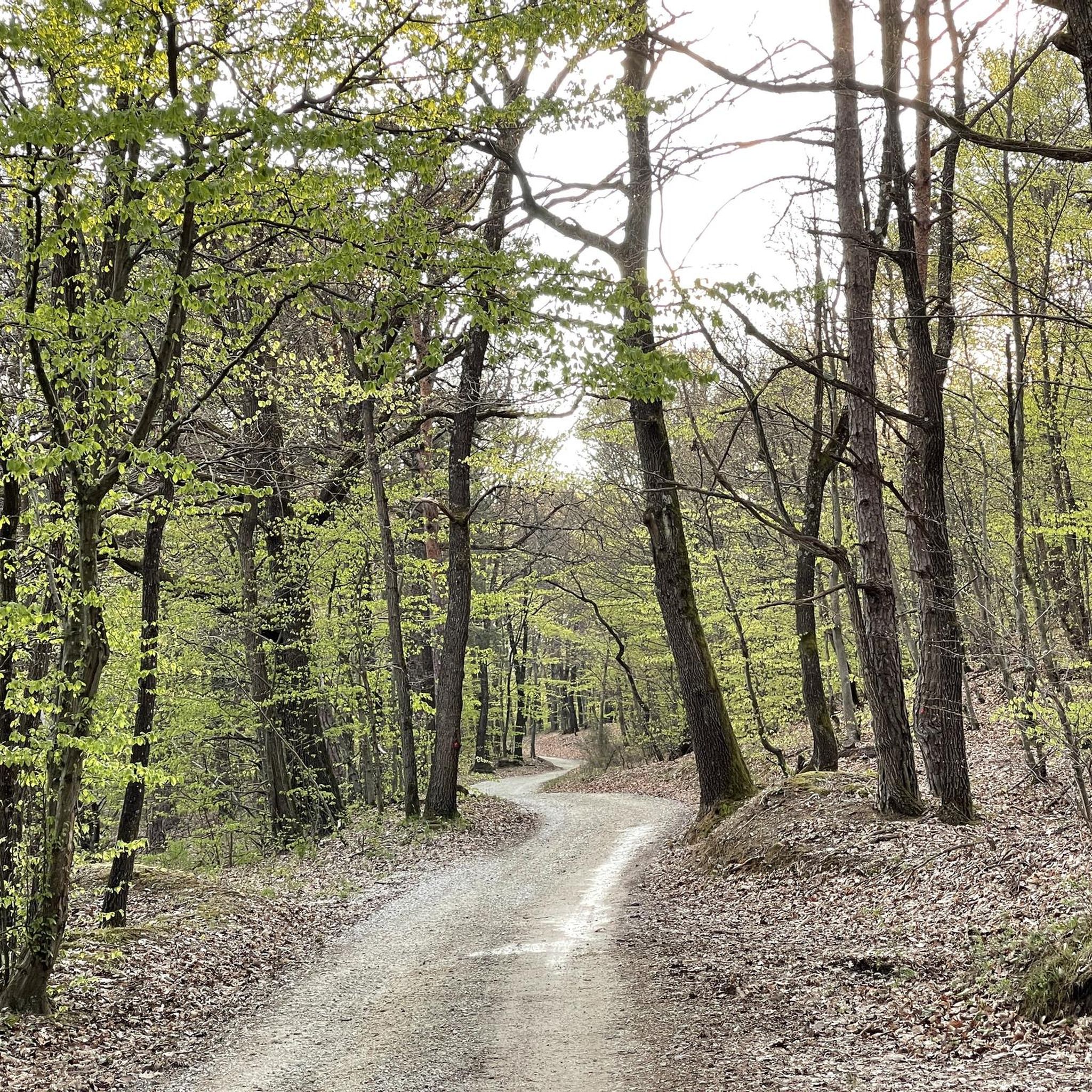
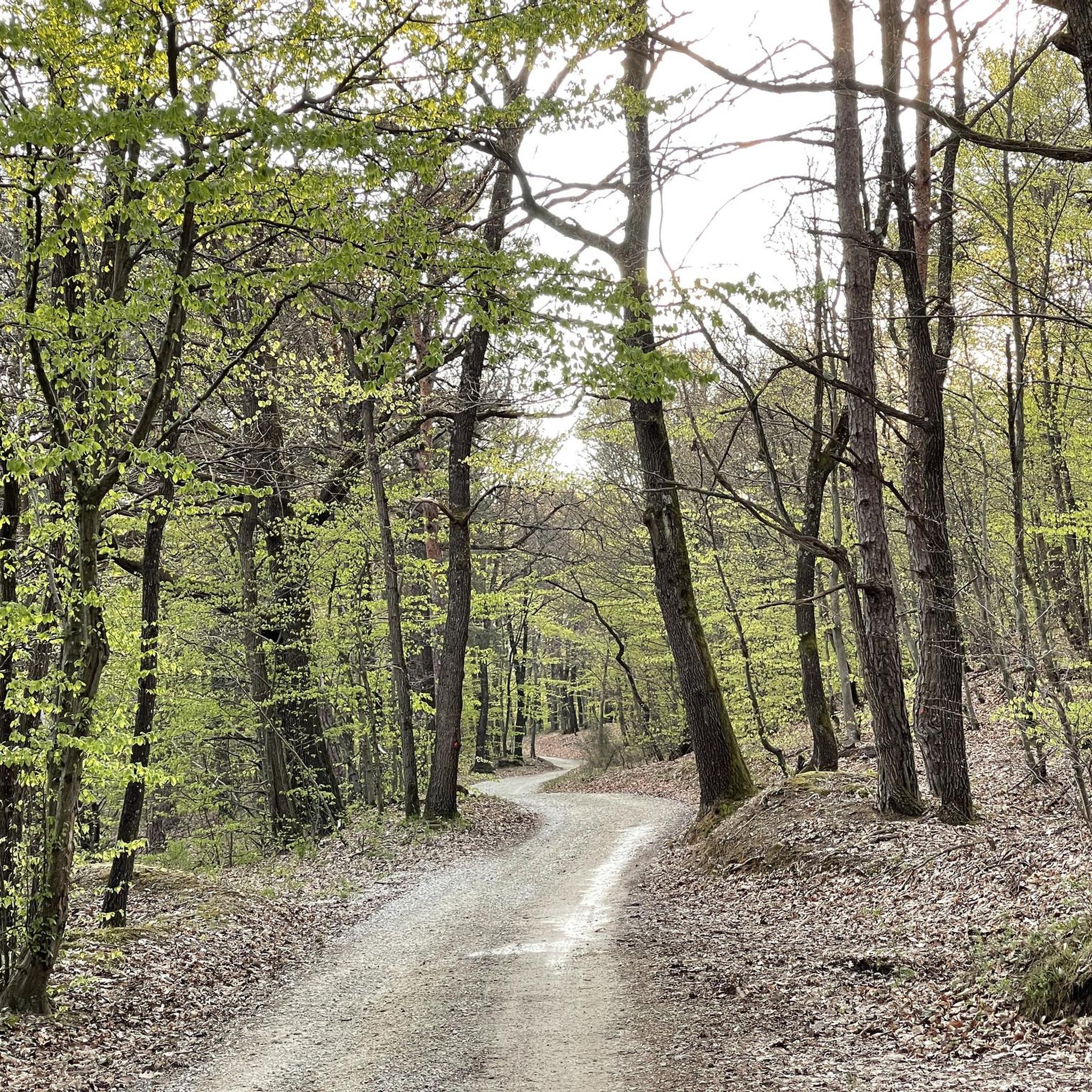
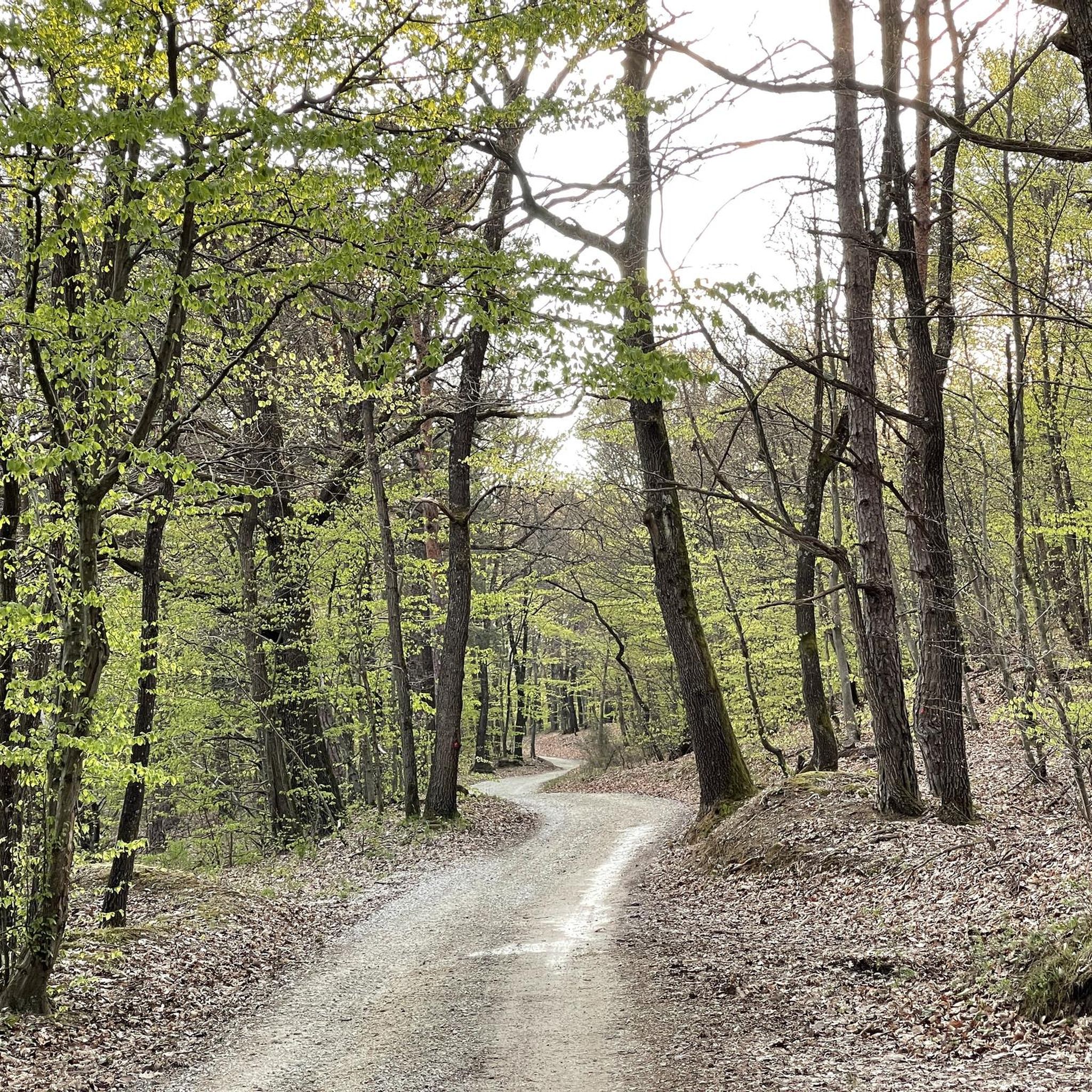
Tips from the Community

There are a few roots, so it's worth taking care of your legs and tendons on the descent.
0
0
Nice place. Good view and feeling of spaciousness.
0
0

Ročićeva sjenokoša is a quiet forest clearing along the Medvednica Transversal, marked by a statue of Cardinal Alojzije Stepinac that gives the spot its popular name. With a wooden shelter and bench, it's a perfect place to rest and take in the peaceful atmosphere.
2
0

In front of the chapel, filia trees are annually planted in January, when the local hiking club Lipa Sesvete organizes it's traditional hike from Sesvete to Lipa, a. k. a. Horvatov pohod
0
0

The beginning of the newly constructed forest road from Lobor to Črni mlake on Ivanščica.
0
0
Cool place situated on the Medvednica transversal (trail No. 1), 40 minutes away from Lipa. The highlight is called "Alojzije Stepinac" beacuse of the statue, but the name of the place is actually "Ročičeva sjenokoša". The trail from Marija Snježna to here might be a bit overgrown and muddy... But it gets better
1
0
Frequently Asked Questions
How many hiking trails are available around Zlatar Bistrica, and what are their difficulty levels?
There are 17 hiking trails around Zlatar Bistrica. These include 7 easy routes, 8 moderate routes, and 2 difficult trails, offering options for various skill levels.
Are there any easy hiking trails suitable for families or beginners?
Yes, Zlatar Bistrica offers several easy routes. A great option for families or those seeking a gentle stroll is the Gubec Linden (Gupčeva Lipa) – Rudolf Perešin Memorial Park loop from Gornja Stubica, which is 2.8 miles (4.6 km) long and takes about 1 hour 17 minutes to complete.
What kind of views or natural landmarks can I expect to see on hikes in this region?
The region is rich in scenic viewpoints and natural landmarks. You can experience panoramic views from the Stričevo Observation Deck on Ivanščica, or from the Babin Zub Summit, which offers spectacular vistas of the Zagorje region and beyond. The Ivanščica mountain range itself provides diverse landscapes.
Are there any historical sites accessible via hiking trails?
Absolutely. Hikers can explore the well-preserved Belecgrad Fortress Ruins, which offer historical insights and good views. This site is part of a loop trail that also includes the Babin Zub Summit.
Are there any circular hiking routes in Zlatar Bistrica?
Many of the trails around Zlatar Bistrica are circular, allowing you to start and end at the same point. Examples include the Pasarićeva Kuća Mountain Hut – Ivanščica Peak loop from Lobor, the Stričevo Observation Deck – Pasarićeva Kuća Mountain Hut loop from Gornja Selnica, and the Gubec Linden (Gupčeva Lipa) – Rudolf Perešin Memorial Park loop from Gornja Stubica.
What is the most challenging hike in the Zlatar Bistrica area?
For experienced hikers seeking a challenge, the Pasarićeva Kuća Mountain Hut – Ivanščica Peak (1,060 m) loop from Lobor is a difficult route. It covers 8.7 miles (14.0 km) with significant elevation gain, taking approximately 5 hours 6 minutes to complete.
Are there any mountain huts or places to rest along the trails?
Yes, the Pasarićeva Kuća Mountain Hut is a notable point of interest on several routes, including the challenging ascent to Ivanščica Peak and the moderate Stričevo Observation Deck loop. It provides a place for hikers to rest and refuel.
What do other hikers enjoy most about hiking in Zlatar Bistrica?
The trails in Zlatar Bistrica are highly rated by the komoot community, with an average score of 4.8 stars from over 30 reviews. Hikers often praise the diverse terrain, the stunning panoramic views from peaks and observation decks, and the blend of natural beauty with historical sites like Belecgrad Fortress.
Are there any longer hiking options for a full-day adventure?
For a longer hike, consider the Dišeća Starina Ethno Village – Chapel of Croatian Martyrs loop from Gornja Stubica. This difficult route spans 12.1 miles (19.5 km) and can take over 6 hours, offering an extensive exploration of the area.
Can I find trails that pass by churches or other cultural points of interest?
Yes, some routes incorporate cultural landmarks. For instance, the Church of St. Barbara – Honka Wooden House and Garden loop from Mirkovec is a moderate 5.6 miles (9.1 km) trail that allows you to experience local heritage.
Are there any routes with minimal elevation gain for a relaxed walk?
For a very relaxed walk with minimal elevation, the Lake Near Novi Marof loop from Bedekovčina is an easy option. It's 3.2 miles (5.1 km) long with very little ascent, making it ideal for a leisurely outing.
Are there any trails that offer views of vineyards or agricultural landscapes?
Yes, the View of Bračak Hospital – Zagorje Wine Road loop from Hruševec is a moderate 5.0 miles (8.1 km) hike that takes you through landscapes characteristic of the Zagorje region, including views that may encompass vineyards.

Get inspired with the komoot mobile app


Explore more
Browse the best Hikes in other regions.
