The best walks and hikes around Općina Vrhovine
4.3
(206)
1,297
hikers
4
hikes
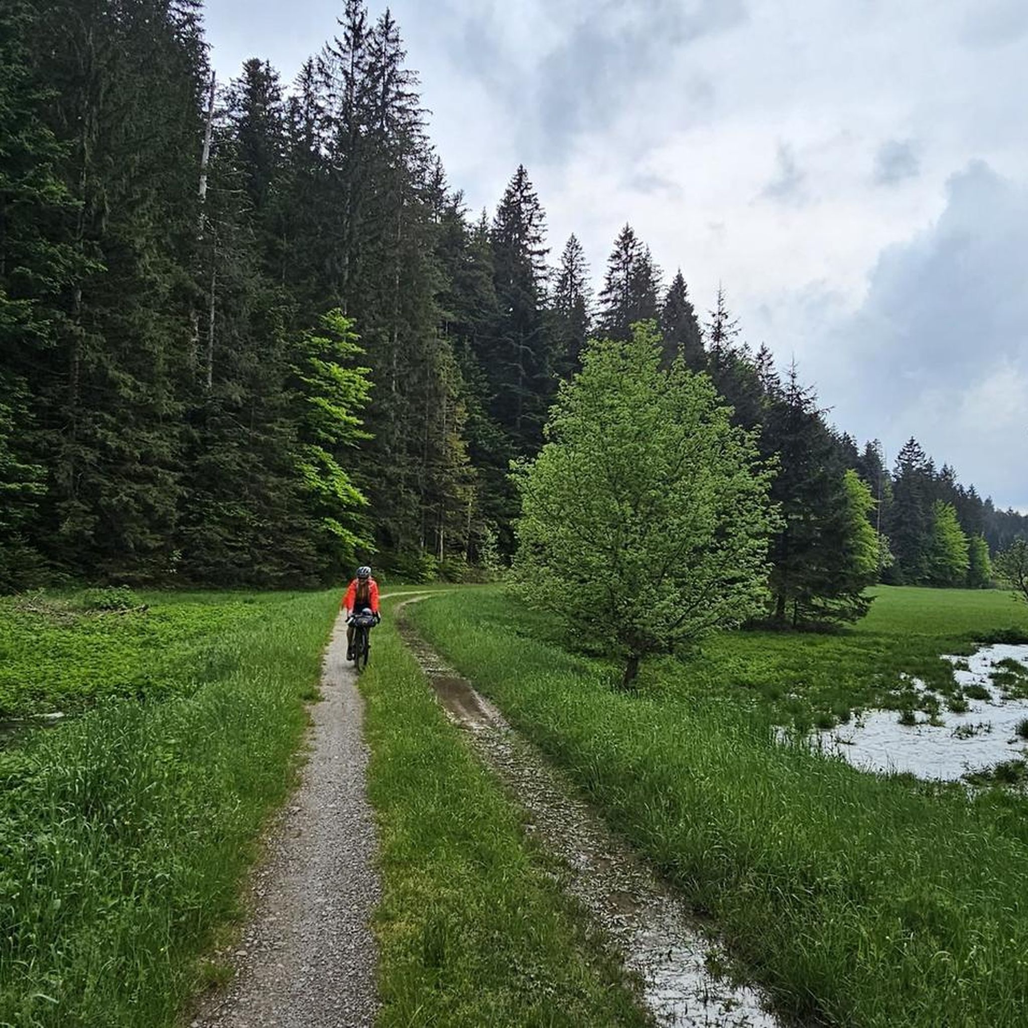
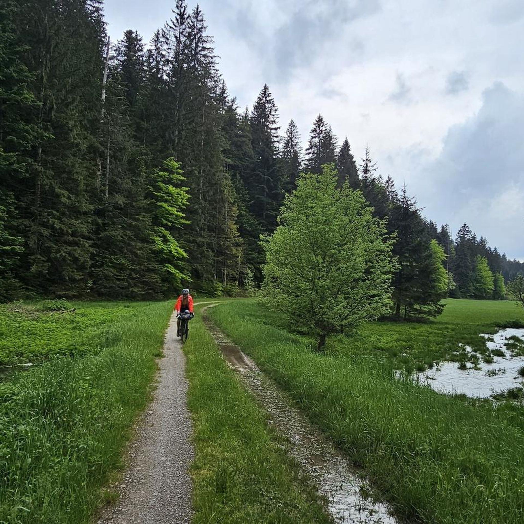
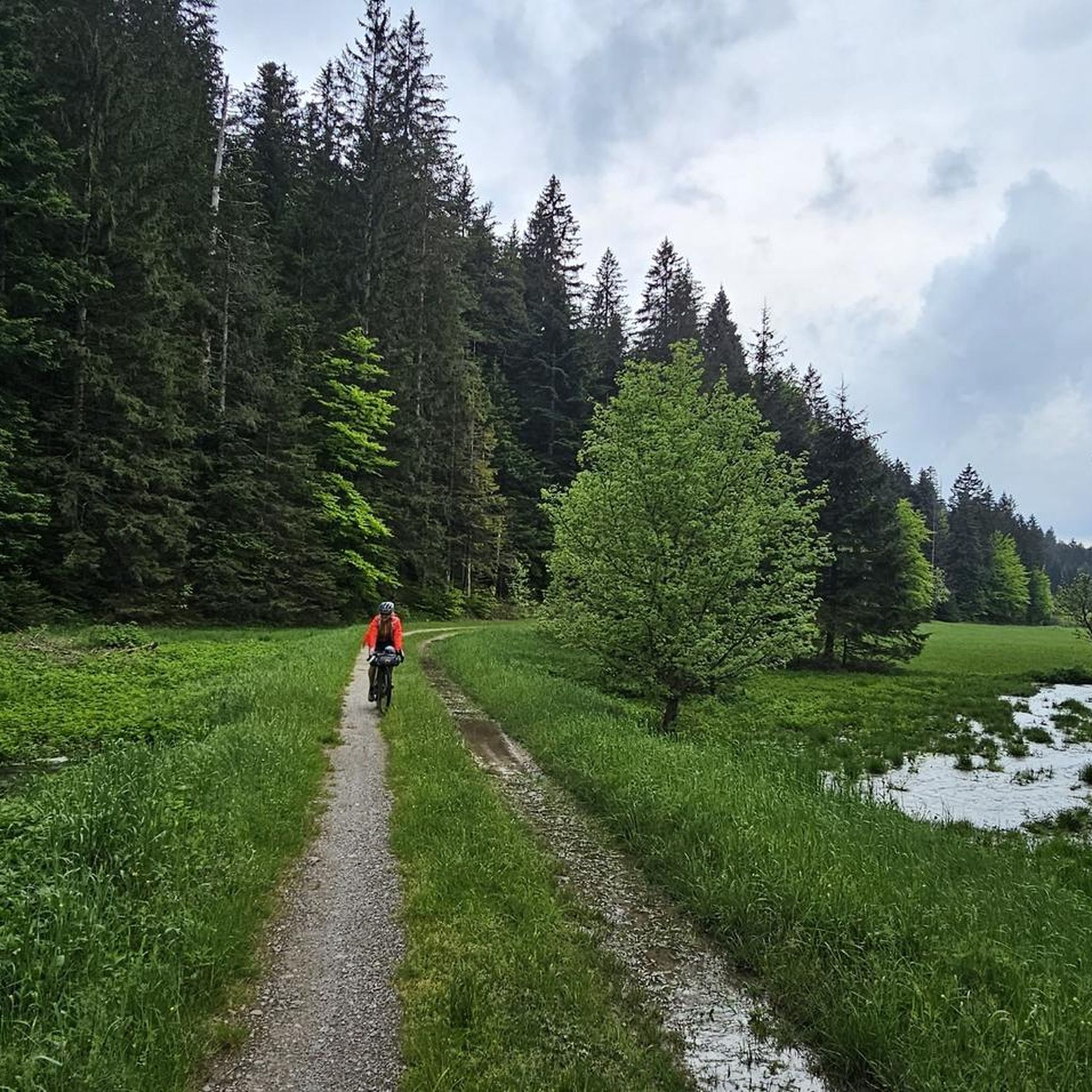
Hiking around Općina Vrhovine offers diverse terrain in the Lika region of Croatia, situated on the slopes of Mala Kapela. The area features elevations ranging from 500 meters to 1150 meters, with prominent hills like Brda (1006 m) and peaks such as Krivi Javor (1204 m). The landscape is characterized by mystical forests, extensive pastures, and fragrant meadows, including rich coniferous forests. This region provides a natural environment for exploring the surroundings of Plitvice Lakes National Park.
Best hiking trails…
Last updated: July 1, 2026
4.9
(190)
1,197
hikers
Moderate hike. Good fitness required. Easily-accessible paths. Suitable for all skill levels.
2.5
(2)
11
hikers
Moderate hike. Good fitness required. Easily-accessible paths. Suitable for all skill levels.

Sign up for free
4.8
(11)
68
hikers
11.7km
03:27
330m
330m
Moderate hike. Good fitness required. Easily-accessible paths. Suitable for all skill levels.
5.0
(3)
21
hikers
22.4km
05:50
160m
160m
Hard hike. Very good fitness required. Easily-accessible paths. Suitable for all skill levels.
Our route recommendations are based on thousands of hikes, rides, and runs completed by other people on komoot.
Start today with a free account
Your next adventure awaits.
Login or Signup
Popular around Općina Vrhovine
Tips from the Community


A closer look at the stunning turquoise water is worth it. 😍 We saw 🐟 and 🦞.
1
0
Luckily, this section wasn't so crowded, and I was able to enjoy it with all my senses.🙏🫠😊 (Mid-September)
2
0

Waterfalls in the National Park
0
0
Very beautiful waterfall....
0
0
Frequently Asked Questions
What types of hiking trails can I find in Općina Vrhovine?
Općina Vrhovine offers a variety of hiking trails, primarily moderate to difficult, set within the diverse terrain of the Lika region. You'll find routes traversing mystical forests, extensive pastures, and the slopes of Mala Kapela, with elevations ranging from 500 to 1150 meters. The area is known for its rich coniferous forests and unique habitats.
Are there any challenging hikes in the Općina Vrhovine area?
Yes, for those seeking a more demanding experience, there are challenging routes available. One such option is the Hiking loop from Otočac, which covers a distance of over 22 kilometers.
What natural features or landmarks can I see while hiking in Općina Vrhovine?
The region is rich in natural beauty. You can explore prominent peaks like Krivi Javor (1204 m), Ciljak (1018 m), Cigelj (1164 m), and Brda (1006 m). The area is also characterized by mystical forests, fragrant meadows, and is situated near the sources of the Bijela and Crna Rivers, which feed into the stunning Plitvice Lakes National Park.
Are there any circular hiking routes in Općina Vrhovine?
Yes, several routes in the area are designed as loops, allowing you to start and end at the same point. Examples include the View of the Plitvice Lakes – Veliki Prstavak Waterfall loop from Nacionalni park Plitvička jezera and the View of the Plitvice Lakes – Lake Batinovac loop from Plitvice Lakes National Park, both offering scenic views of the national park.
What do other hikers say about the trails in Općina Vrhovine?
The hiking routes in Općina Vrhovine are highly regarded by the komoot community, holding an average rating of 4.3 stars from over 190 reviews. Hikers often praise the diverse terrain, the beauty of the natural landscapes, and the opportunities to explore the surroundings of Plitvice Lakes National Park.
Is Općina Vrhovine a good base for exploring Plitvice Lakes National Park?
Yes, Općina Vrhovine is an excellent base for exploring Plitvice Lakes National Park, which is easily accessible from the municipality. Many hiking routes in the area offer direct views or access to the park's iconic features, such as the interconnected lakes and waterfalls.
What is the best time of year to go hiking in Općina Vrhovine?
Općina Vrhovine experiences a characteristic mountain climate. While specific recommendations depend on your preference for weather, spring and autumn generally offer pleasant temperatures and vibrant scenery. Summer is also popular, but be prepared for warmer conditions. Winter hiking is possible but may require appropriate gear for snow and ice.
Are there any trails that feature waterfalls?
Given the proximity to Plitvice Lakes National Park, which is famous for its numerous waterfalls, you can certainly find trails that offer views of these natural wonders. The View of the Plitvice Lakes – Veliki Prstavak Waterfall loop from Nacionalni park Plitvička jezera is a prime example, providing views of the iconic Veliki Prstavak Waterfall.
Are there any trails suitable for families with children?
While the guide primarily lists moderate to difficult routes, the region's diverse landscape means there are likely shorter, less strenuous options within Plitvice Lakes National Park or local trails that lead to viewpoints. When planning with family, consider the distance and elevation gain of specific routes to match your family's fitness level.
What are the typical elevations encountered on hikes in Općina Vrhovine?
Hikes in Općina Vrhovine generally involve elevations ranging from 500 meters to 1150 meters above sea level. The terrain includes slopes of Mala Kapela and various peaks, so you can expect significant ascents and descents on many routes.
Can I find trails that offer panoramic views?
Absolutely. The region's mountainous terrain, including peaks like Krivi Javor and Brda, provides numerous opportunities for panoramic views. The Medveđak trail within Plitvice Lakes National Park, for instance, offers extensive views of the Plitvice Lakes and the surrounding area between Mala Kapela and Lička Plješivica.
Are there options for less crowded hikes away from the main attractions?
While many routes are popular due to their proximity to Plitvice Lakes, exploring local trails within Općina Vrhovine itself, away from the immediate national park boundaries, can offer a quieter experience. Routes like the Cross on Alan Hill – Jesus Face Rock loop from Saborsko might provide a different perspective of the region's natural beauty.

Get inspired with the komoot mobile app


Explore more
Browse the best Hikes in other regions.
