The best cycling routes around Općina Mala Subotica
4.3
(14)
130
riders
22
rides
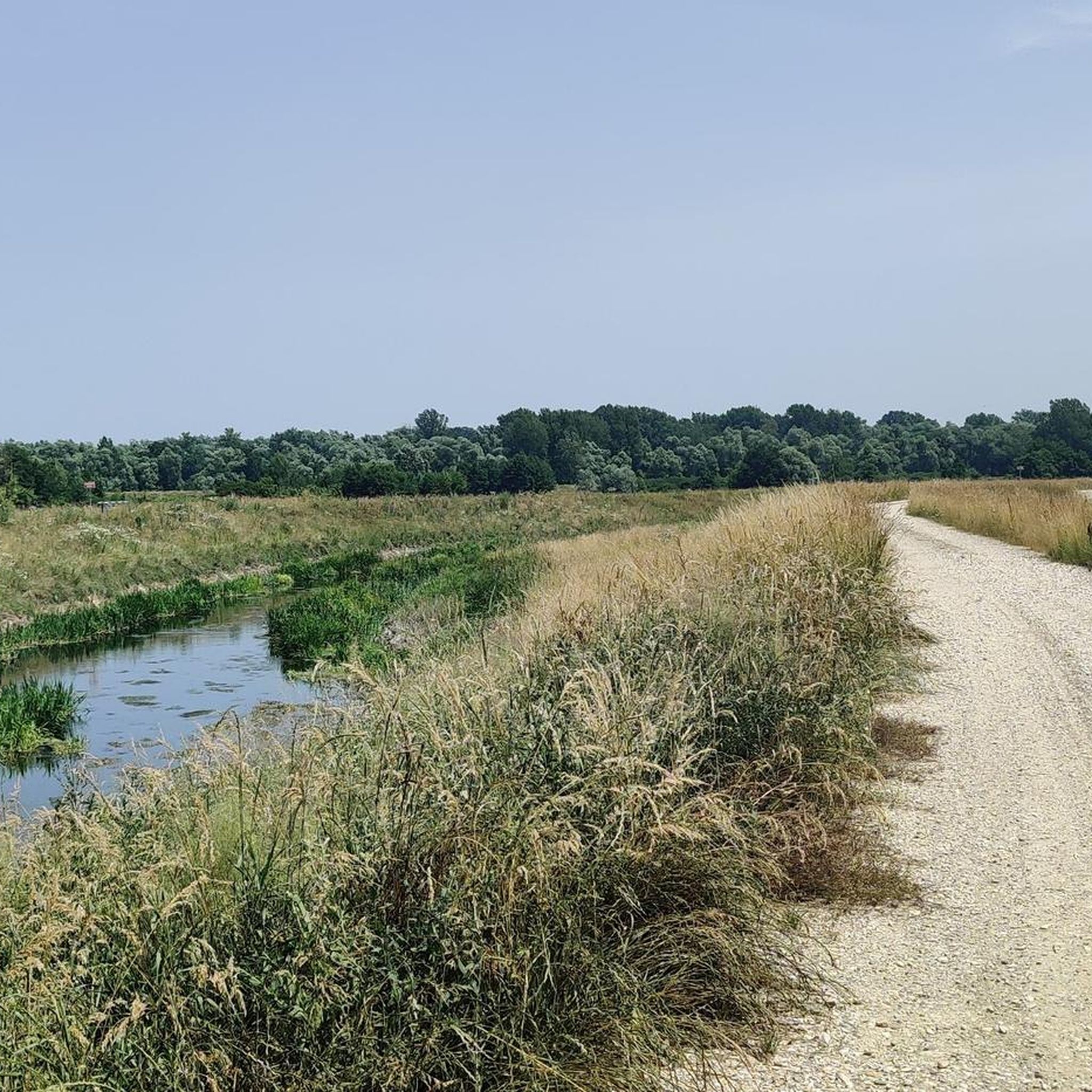
Touring cycling routes around Općina Mala Subotica traverse the flat, fertile Međimurje plain in Croatia. This region is characterized by expansive agricultural fields, tranquil fishponds, and charming groves. The area benefits from its proximity to the Mura and Drava rivers, and the Mura-Drava Regional Park, a UNESCO Biosphere Reserve. The terrain is generally flat, making it suitable for touring cyclists seeking routes with minimal elevation changes.
Best touring cycling routes around Općina Mala Subotica
- The most popular touring cycling route…
Last updated: July 5, 2026
15
riders
48.0km
02:54
370m
370m
Moderate bike ride. Good fitness required. Mostly paved surfaces. Suitable for all skill levels.
5.0
(2)
11
riders
Hard bike ride. Very good fitness required. Mostly paved surfaces. Suitable for all skill levels.

Sign up for free
5.0
(1)
9
riders
43.6km
02:36
90m
90m
Moderate bike ride. Good fitness required. Mostly paved surfaces. Suitable for all skill levels.
4.5
(2)
8
riders
29.3km
01:47
190m
190m
Moderate bike ride. Good fitness required. Mostly paved surfaces. Suitable for all skill levels.
8
riders
37.8km
02:19
190m
190m
Moderate bike ride. Good fitness required. Mostly paved surfaces. Suitable for all skill levels.
4.5
(2)
5
riders
82.2km
04:52
470m
470m
Hard bike ride. Very good fitness required. Mostly paved surfaces. Suitable for all skill levels.
5
riders
26.1km
01:28
20m
20m
Easy bike ride. Great for any fitness level. Mostly paved surfaces. Suitable for all skill levels.
6
riders
28.9km
01:43
30m
30m
Easy bike ride. Great for any fitness level. Mostly paved surfaces. Suitable for all skill levels.
4
riders
33.0km
01:53
100m
100m
Easy bike ride. Great for any fitness level. Mostly paved surfaces. Suitable for all skill levels.
5
riders
38.3km
02:24
50m
50m
Moderate bike ride. Good fitness required. Mostly paved surfaces. Suitable for all skill levels.
Get access to more routes and recommendations from other explorers.
Sign up for free
Already have an account?
Our route recommendations are based on thousands of hikes, rides, and runs completed by other people on komoot.
Start today with a free account
Your next adventure awaits.
Login or Signup
Popular around Općina Mala Subotica


Tips from the Community

The Mura is a very wide river in Mursko Središće. What's immediately noticeable is that the community has adapted to the river. A beautiful bay was built on the right bank of the Mur, and a very inviting restaurant area was created in this area. It's inviting.
0
0

There it turns southwest and runs through almost uninhabited territory a few kilometers east, past the Carniolan Sneznik (Slovene: Snežnik, Italian: Monte Nevoso). Between the Croatian Rupa and the Slovenian Jelšane, the Croatian A7 motorway, coming from Rijeka, leads to the border. It continues on the Slovenian side via the Glavna cesta 6 to Ljubljana; on the Croatian side it is part of the European route E65. The Pivka–Rijeka railway line also crosses the border here. Just a little further west, the Slovenian Glavna cesta 7, coming from Trieste, crosses the border, forming an extension of the E65; in Croatia it continues via the Državna cesta D8 to the A7 motorway. The border continues through the Karst along the northern edge of the Ćićarija (Chichen Bottom) and turns south at the Podgorski Kras. Between Rakitovec (Slovenia) and Buzet (Italian: Pinguente) in Croatia, the Divača–Pula railway line leading to the Istrian peninsula crosses the border. From there, the border runs generally westward, in the westernmost section along the Dragonja River, and merges into the (disputed) Croatian-Slovenian maritime border at the Gulf of Piran.
1
0
It follows the Sava River for about 2 km to the southeast, then leaves it to the southwest and follows the Bregana River. In the Sava valley, it crosses the former Bratstvo i jedinstvo highway (now Avtocesta A2 in Slovenia, Autocesta A3 in Croatia, and also European route E70). The border continues westward and then largely along the heights of the Uskok Mountains (Croatian: Žumberak, Slovene: Gorjanci), but leaves these north of the Novo mesto (German: Rudolfswerth) – Metlika road in Bela krajina, although the border line north of Metlika is extremely complicated (see map on the right). Via the Kamenica Stream, the border then reaches the Kupa River (Slovene: Kolpa), which it follows upstream for about 100 km and which forms the historical border between Carniola and Croatia (and thus part of the border of the Holy Roman Empire). Near Jurovski Brod, the Croatian Državna cesta D6, coming from Karlovac and continuing on the Slovenian side as Glavna cesta 105, crosses the Kupa and thus the border. At the latitude of Karlovac, its course abandons its predominantly north-south direction and follows the river in an east-west direction. The Karlovac–Ljubljana railway line also crosses this area. Near Vinica (in Slovenia), there is a small border crossing, not far from the Croatian A1 motorway. The next border crossing is to the west at the Slovenian Glavna cesta 106 between the Slovenian Kočevje, the center of the former German-speaking island of Gottschee, and the Croatian Delnice. The border follows the Kupa further upstream in a northwesterly direction to the confluence of the Čabranka, along which it continues to run northwest, and has a bulge to the northeast east of Babno Pole (with border crossing).
1
0
The border connects to the Croatian-Hungarian border in the area where the Ledava River joins the Mura River and then roughly follows the course of the Mura River to the Slovenian village of Šafarsko (Hungarian: Ligetfalva). However, the exact border line in this section is disputed (see Croatia-Hungary border). There, it separates from the Mura River and runs along the edge of the Mursko Polje. Southeast of Ljutomer (German: Luttenberg), it takes a south-southeast direction and reaches the Drava River near Središče ob Dravi (German: Polstrau). The railway line leading from Pragersko (German: Pragerhof) to the Croatian Čakovec (German: Czakathurn) (see Pragersko–Budapest railway line) and the Slovenian Glavna cesta 2 leading from Ptuj (German: Pettau) towards Čakovec cross here. It follows the course of the Drava roughly upwards via Ormož (German: Friedau) to the Croatian Dubrava Križovljanska, where there is a crossing of the Croatian Državna cesta D2, which continues in Slovenia as regional road 228 to Ptuj. Here, the border leaves the Drava River and follows the historic border line between Styria (Štajersko) and the former Kingdom of Croatia and Slavonia, a former tributary of the Kingdom of Hungary, where it reaches the Donji Macelj border crossing on the Croatian A4 motorway, which here merges with the Slovenian A4 motorway (both part of European route E59). To the west, the border runs over the Macelj mountain range (718 m) and then follows the Sotla River (Sattelbach), the historic eastern border of Styria, to its confluence with the Sava River (with minor deviations in the southernmost section), crossing the railway line from Krsko (German: Gurkfeld) to Zagreb (see Zidani Most–Novska railway line).
1
0
The most important economic sector today is industry. The textile industry (Modeks, MTČ), trade, and gastronomy (18 restaurants in M.S.) are the most developed; only a few people are still engaged in agriculture. The town houses the tax office, a post office, a branch of the Međimurje Bank, an INA gas station, a clinic, a veterinary clinic, a city library, and one of the largest elementary schools in the region.
1
0
The beginning of the 19th century was very important for the development of the town, as the railway line was built in 1889, followed by the first road between Čakovec and Lendava. Since 1850, the residents of Selnica and Peklenica were engaged in oil drilling, and after World War II, they began working in the coal mines. The first coal mine in Međimurje was called Hrastinka 1. From its establishment in 1925 until its closure in 1972, miners extracted 4,593,961 tons of coal from Hrastinka 1. At that time, the coal mines were the driving force behind the economic development of Mursko Središće.
1
0
Since 1638, Mursko Središće, along with Podturen, Čakovec, Prelog, Nedelišće, and Štrigova, has been one of the most important towns in Međimurje. The town is one of the oldest settlements. The present-day Church of St. Martin was first mentioned in 1334 under the name Sancti Martini in Zredysche. Historians claim that a settlement called Halicanum existed here during the times of the Old Roman Empire. This settlement played an important role as a stop on the Roman road from Poetovio (Ptuj) to Carnuntum (Petronell). Later, the settlement was known as Mura Zerdahel.
1
0
The Mur Cycle Path, often referred to as the Murradweg (Mur Cycle Route), is one of the most beautiful and diverse cycle paths in Europe. The Mur River accompanies you along a 460-kilometer stretch from its source in the Austrian Alps to its confluence with the Drava River in Legrad, Croatia.
1
0
Frequently Asked Questions
What kind of terrain can I expect when touring cycling around Općina Mala Subotica?
The terrain around Općina Mala Subotica is predominantly flat, situated within the fertile Međimurje plain. You'll cycle through expansive agricultural fields, past tranquil fishponds, and charming groves. This makes it ideal for relaxed touring cycling, with minimal elevation changes. While most routes are on paved surfaces, some longer excursions might include unpaved segments.
Are there touring cycling routes suitable for beginners or families in Općina Mala Subotica?
Yes, Općina Mala Subotica offers several easy touring cycling routes perfect for beginners or families. There are 5 easy routes available, designed for a relaxed pace to enjoy the scenery without strenuous climbs. An example of a moderate route that is generally accessible is Čakovec Town Center – Feštetić Castle loop from Čakovec, which is 43.6 km long.
What natural attractions can I see along the touring cycling routes in the region?
The touring cycling routes often provide access to the Mura-Drava Regional Park, a UNESCO Biosphere Reserve. Here, you can experience the Mura river, its side arms, lakes, and diverse wetland environments. The Mura river is one of the last Pannonian rivers to retain its natural course, featuring freshwater swamp forests and a rich biodiversity, including protected birds like sandmartins, kingfishers, and bee-eaters. For more information on the natural beauty of Međimurje, you can visit Visit Međimurje.
How many touring cycling routes are available in Općina Mala Subotica?
There are 22 touring cycling routes available around Općina Mala Subotica. These routes cater to various preferences, including 5 easy, 11 moderate, and 6 difficult options, ensuring there's a suitable ride for every skill level.
What do other touring cyclists say about the routes in Općina Mala Subotica?
The touring cycling routes in Općina Mala Subotica are highly rated by the komoot community, with an average score of 4.4 stars from over 10 reviews. Cyclists often praise the flat, scenic landscapes and the well-integrated cycling infrastructure that allows for enjoyable rides through the region's natural beauty.
Are there any long-distance touring cycling routes for experienced riders?
Yes, for experienced riders seeking a challenge, there are several longer and more difficult routes. For example, the Sveti Martin na Muri ferry – Rode Prelog Lakeside Campsite loop from Čakovec is a difficult 126.5 km path that explores the Mura river area, offering extensive views and access to the Mura-Drava Regional Park.
Can I find circular touring cycling routes in Općina Mala Subotica?
Many of the touring cycling routes around Općina Mala Subotica are designed as loops, allowing you to start and end your ride in the same location. An example is the Little Church – Čakovec Town Center loop from Čakovec-Buzovec, a moderate 29.3 km route.
What is the best season for touring cycling in Općina Mala Subotica?
The Međimurje region, including Općina Mala Subotica, is generally pleasant for cycling from spring through autumn. The flat terrain means routes are less affected by snow and ice than hilly areas, making early spring and late autumn viable. Summer offers warm weather, ideal for enjoying the lush green landscapes and riverine environments.
Are there any routes that follow the Mura or Drava rivers?
Yes, the region's cycling network benefits from its proximity to the Mura and Drava rivers. Routes like Along the Mur – Goričanec Recreation Area loop from Čakovec-Buzovec, a difficult 82.3 km route, allow you to cycle alongside the Mura river, experiencing its natural course and the surrounding wetlands.
Where can I find parking for my car if I want to cycle in Općina Mala Subotica?
While specific parking locations for each route are not detailed here, the broader Međimurje County, known for its cycling infrastructure, generally offers parking facilities in towns and near popular trailheads. For routes starting from Čakovec, you can typically find parking within or on the outskirts of the town.
What kind of landscapes will I encounter on a moderate touring cycling route?
Moderate routes, such as the Nedelišće – Čakovec Town Center loop from Čakovec-Buzovec (38.4 km), typically traverse the characteristic flat agricultural landscape of the Međimurje plain. You'll pass through quiet villages, alongside fields, and potentially near the Trnava stream, offering a pleasant and varied scenic experience.
Are there any easy routes that are relatively short?
Yes, for a shorter and easier ride, consider routes like Nedelišće – Pušćine loop from Čakovec-Buzovec. This easy route is 26.2 km long, making it a great option for a quick and enjoyable touring cycling experience without significant elevation.
Most popular routes around Općina Mala Subotica

Get inspired with the komoot mobile app


Explore more
Browse the best Cycling routes in other regions.
