The best cycling routes around Gillenbeuren
4.5
(2566)
12,211
riders
262
rides
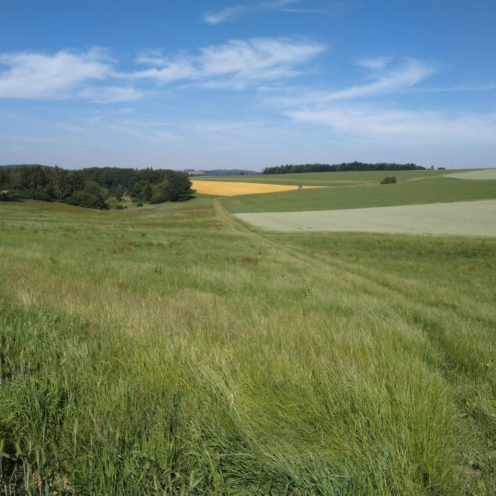
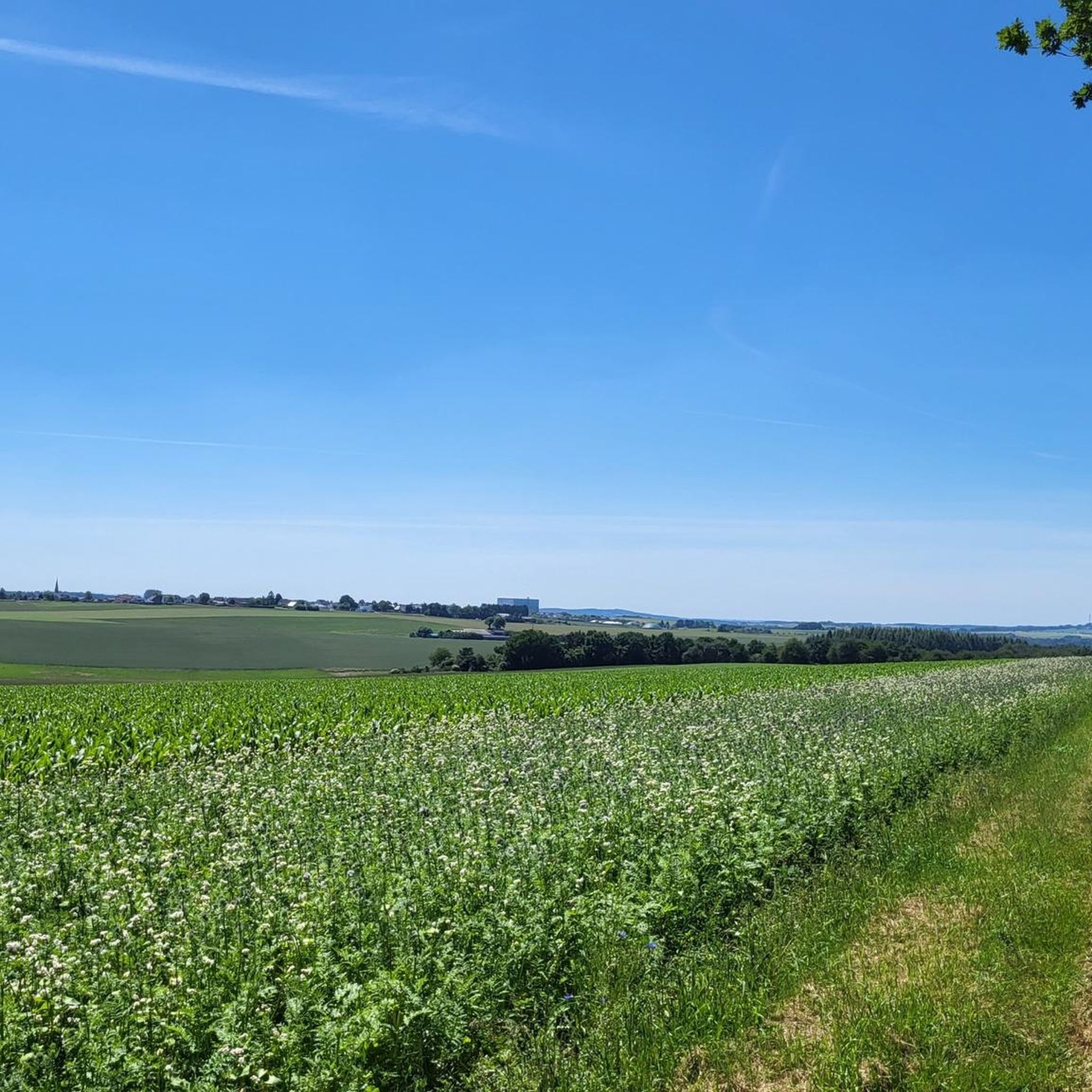
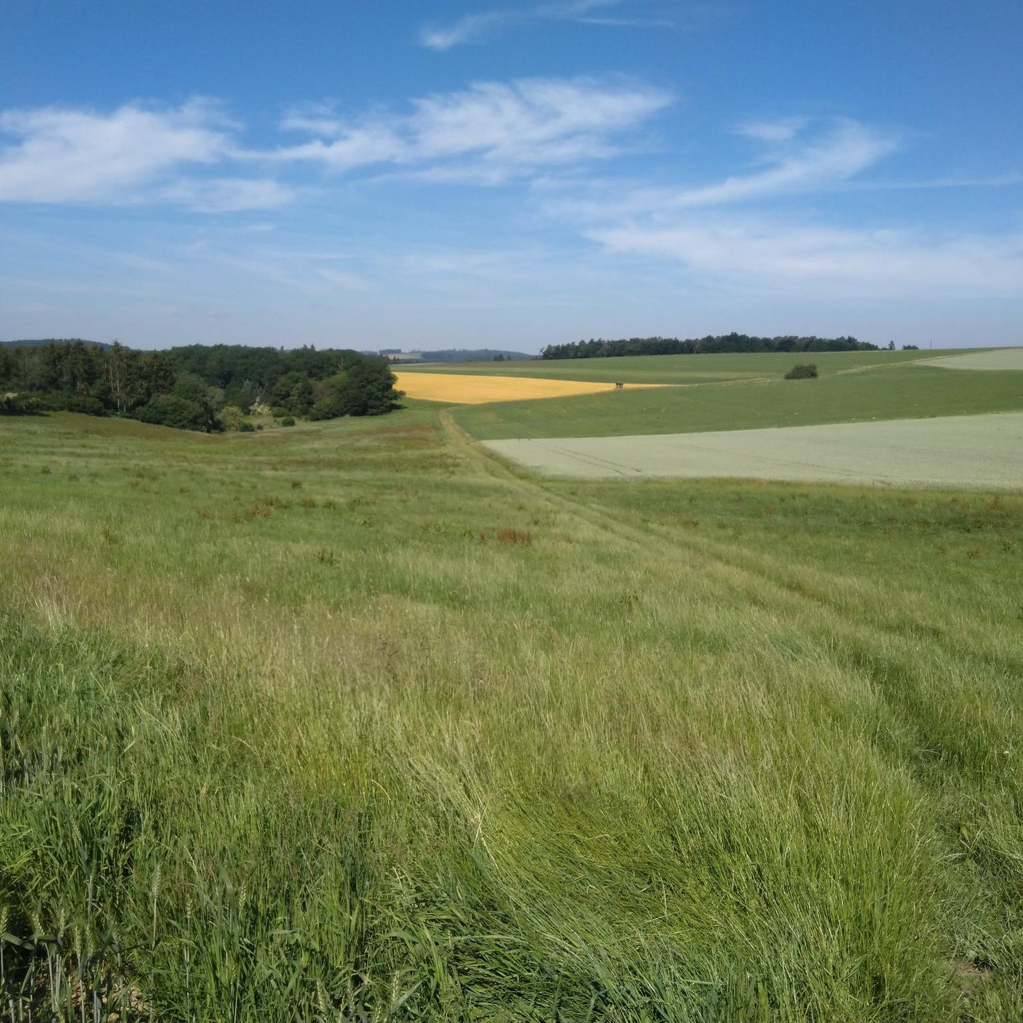
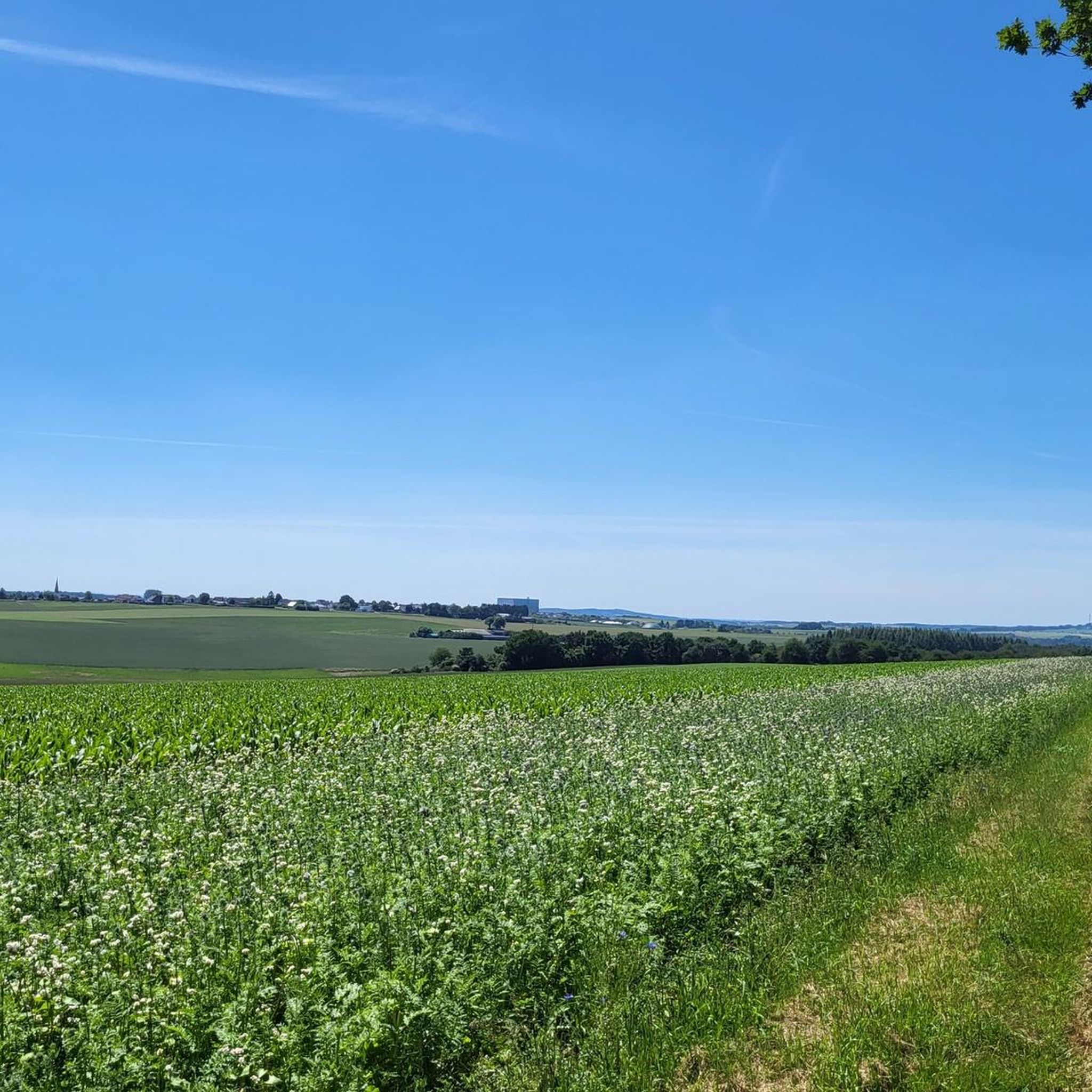
Touring cycling around Gillenbeuren offers routes through the scenic Volcanic Eifel region of Germany. The area is characterized by its unique volcanic landscapes, including maare (volcanic lakes) and cinder cones, alongside picturesque river valleys. Many routes utilize well-developed cycling infrastructure, often repurposing historic railway lines, which provide gentle gradients suitable for various fitness levels. Cyclists can expect to traverse deep forests and open landscapes, with routes connecting to the Moselle region.
Best touring cycling routes around Gillenbeuren
- The most popular…
Last updated: October 4, 2026
4.3
(16)
67
riders
Hard bike ride. Very good fitness required. Mostly paved surfaces. Suitable for all skill levels.
4.6
(23)
48
riders
Moderate bike ride. Good fitness required. Mostly paved surfaces. Suitable for all skill levels.

5.0
(12)
55
riders
50.2km
03:15
660m
660m
Hard bike ride. Very good fitness required. Mostly paved surfaces. Suitable for all skill levels.
4.3
(6)
20
riders
Hard bike ride. Very good fitness required. Mostly paved surfaces. Suitable for all skill levels.
5.0
(4)
28
riders
26.5km
01:51
420m
420m
Moderate bike ride. Good fitness required. Mostly paved surfaces. Suitable for all skill levels.
Get access to more routes and recommendations from other explorers.
Already have an account?
Our route recommendations are based on thousands of hikes, rides, and runs completed by other people on komoot.
Start today with a free account
Your next adventure awaits.
Tips from the Community


Dining options at the campsites
3
0

Beautifully located chapel with some seating. Unfortunately, there was no information about the name etc.
2
0

A beautiful view of/over the Moselle.
2
0

A truly amazing experience for young and old. Turn on the lights – even though the tunnel is lit. And in hot weather, it's like riding through a "refrigerator."
0
0

The fairy-tale fountain at the Alten Postplatz tells a story. Here, on this spot, it is at its most beautiful.
7
0
The Ulmen Maar lies 420 meters above sea level today, covers an area of 5.5 hectares, and is 36 meters deep. The bubbles at the maar's edge demonstrate that volcanism is still active. They bear witness to a turbulent past—but rest assured, there's no eruption in sight! A wall of various rocks and ash, up to 20 meters thick, surrounds the cone. For those interested, these testimonies to this explosive past are beautifully displayed in St. Matthias Church. This unique wall, with its different colored layers and rounded inclusions, is worth seeing for more than just geologists. The slopes of the maar basin are covered with a beautiful forest, which can be explored on a circular walk. A detour to the medieval castle ruins, from which the Crusaders once launched their campaigns, is recommended. The view from the crater rim over the maar and the Eifel beyond will take your breath away. Whether after a sweaty hike or a long drive, the blue of the Ulmer Eifel lake is all too tempting in summer. However, bathing in the maar is prohibited because it is designated as a nature and water protection area.
7
0
The lower castle has completely disappeared. You can still see the beginning of the ring that connected the lower castle and the Ulmen city wall, a two-story outer wall of the palace, as well as a cistern and some foundation walls of other buildings. The old part of Ulmen Castle was built around 1074 AD and likely rests on the remains of a Roman settlement. In the Middle Ages, Ulmen Castle was further expanded and divided into the upper castle, whose remains of the walls still exist, and the lower castle, which extended to the banks of the maar river. Two knightly families lived in the castle, which is believed to have never been attacked or destroyed until 1673 due to its size. Only the Sun King's troops succeeded. It was rebuilt, but fell again in 1689 during the War of the Succession. However, Ulmen Castle was also rebuilt this time, with only the city wall being abandoned. With the invasion of Napoleon's soldiers, Ulmen also became French and later Prussian. The empty castle, whose last descendant died in 1801, was auctioned to a merchant from Cochem, who sold it as a quarry. When a devastating fire burned Ulmen to the ground in the 19th century, the residents of Ulmen rebuilt their houses with stones from the castle. That's why you can still see a coat of arms on some of the stables today. It wasn't until the early twentieth century that Ulmen Castle was declared a listed building and became the property of the municipality of Ulmen. The castle is always freely accessible.
7
0
Frequently Asked Questions
How many touring cycling routes are available around Gillenbeuren?
There are over 250 touring cycling routes around Gillenbeuren, offering a wide variety of options for different skill levels and preferences. These routes traverse the unique volcanic landscapes and picturesque river valleys of the Volcanic Eifel region.
What types of terrain can I expect on touring cycling routes in Gillenbeuren?
The terrain around Gillenbeuren is diverse, featuring routes that utilize former railway lines with gentle gradients, making them accessible for various fitness levels. You'll also find paths through deep forests, along river valleys, and more challenging routes through the volcanic landscape with notable elevation changes. The region is characterized by its volcanic origins, including maare (volcanic lakes) and cinder cones.
Are there any family-friendly touring cycling routes in Gillenbeuren?
Yes, many routes around Gillenbeuren are suitable for families, particularly those built on former railway lines like sections of the Maare-Mosel Cycle Path, which offer gentle gradients and are largely traffic-free. These paths provide a safe and enjoyable experience for cyclists of all ages.
Can I bring my dog on touring cycling routes in Gillenbeuren?
Many touring cycling routes in the Gillenbeuren area are dog-friendly, especially those on dedicated cycle paths or quiet rural roads. It's always recommended to keep your dog on a leash and ensure they are comfortable with longer distances. Remember to bring water for your pet, especially on warmer days.
What natural features and landmarks can I see along the touring cycling routes?
The region is rich in natural and historical sights. You can cycle past stunning volcanic lakes (maare) like the Pulvermaar, enjoy views of the Moselle River, and encounter impressive engineering feats such as viaducts and long railway tunnels. Historical castles, like the Reichsburg Cochem, are also visible from some routes. For specific natural attractions, consider visiting the Klidinger Waterfall or the Elf Grotto and Elbesbach Waterfall.
Are there circular touring cycling routes available?
Yes, many touring cycling routes around Gillenbeuren are designed as loops, allowing you to start and end at the same point. An example is the Calmont Vineyard – Steepest Vineyard in Europe – View of the Moselle River loop from Lutzerath, which offers scenic views and returns to its starting point.
What is the best time of year for touring cycling in Gillenbeuren?
The best time for touring cycling in Gillenbeuren is typically from spring to autumn. During these seasons, the weather is generally mild, and the landscapes are vibrant. Spring brings blooming nature, while autumn offers beautiful foliage, especially in the vineyard areas as you approach the Moselle. Summer is also popular, but can be warmer.
Where can I find parking for my bike tour in Gillenbeuren?
Parking is generally available in and around Gillenbeuren, particularly in larger towns and villages that serve as common starting points for cycling routes. Many routes, especially those on former railway lines, have designated parking areas at their access points. It's advisable to check specific route details for parking information near your chosen starting location.
Is public transport with bikes available to reach Gillenbeuren?
Public transport options, including regional trains and buses, often accommodate bicycles in the Volcanic Eifel region. The Maare-Mosel Cycle Path, a major attraction, is well-connected by a dedicated 'RegioRadler' bus service that transports bikes and cyclists between Daun and Bernkastel-Kues, making it easy to access different sections of the path. Check local transport schedules for specific bike carriage policies.
Are there cafes or pubs along the touring cycling routes in Gillenbeuren?
Yes, many touring cycling routes in the Gillenbeuren area pass through charming villages and towns where you can find cafes, pubs, and restaurants. These establishments offer opportunities to refuel, enjoy local cuisine, and take a break. As you descend towards the Moselle, you'll also find numerous wine taverns in the vineyard villages.
What do other touring cyclists say about cycling in Gillenbeuren?
The touring cycling routes around Gillenbeuren are highly rated by the komoot community, with an average score of 4.6 stars from over 2,100 reviews. Cyclists often praise the diverse landscapes, the well-maintained paths, and the unique experience of cycling through volcanic scenery and along historic railway lines. The variety of routes, from relaxed to challenging, is also frequently highlighted.
What is a moderately challenging touring cycling route I can try?
For a moderately challenging ride, consider the Apple Orchard Near Alflen – Rural Road Through the Eifel loop from Lutzerath. This 28.4 km route takes you through rural Eifel landscapes with an elevation gain of approximately 396 meters, offering a good balance of effort and scenic enjoyment.
Are there any routes that pass by volcanic lakes?
Yes, the region is famous for its volcanic lakes, known as maare. The View of Daun from Daun Viaduct – Pulvermaar loop from Lutzerath is an excellent option, leading you directly past the Pulvermaar, one of the most beautiful maare in the Volcanic Eifel, and offering views of the Daun Viaduct.
Most popular routes around Gillenbeuren
Most popular attractions around Gillenbeuren

Get inspired with the komoot mobile app


Explore more
Browse the best Cycling routes in other regions.
