The best mountain hikes around Unije
5.0
(12)
50
hikers
1
hike
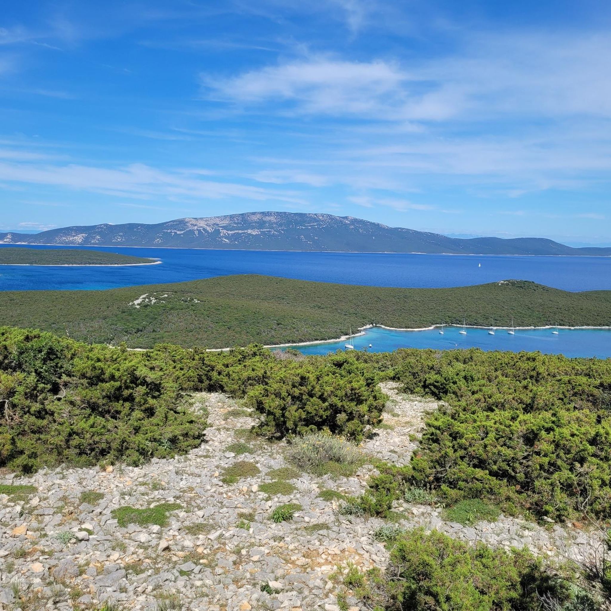
Mountaineering routes around Unije island traverse an undulating landscape of low hills, extending to the shoreline. The terrain features lush Mediterranean evergreen macchia, aromatic pine groves, and ancient olive trees, providing varied scenery for exploration. The island's highest point is Kalk at 138 meters, with the Televrina Summit also offering significant elevation changes for mountaineers. Unije's car-free environment ensures a peaceful experience on its well-maintained trails.
Best mountaineering routes around Unije
- The most popular mountaineering route is Mountaineering loop from…
Last updated: July 1, 2026
5.0
(5)
17
hikers
7.42km
03:24
520m
520m
Moderate mountaineering route. Good fitness required. Mostly accessible paths. Sure-footedness required.
5.0
(2)
6
hikers
16.7km
06:11
620m
620m
Hard mountaineering route. Very good fitness required. Sure-footedness, sturdy shoes and alpine experience required.

Sign up for free
5
hikers
12.7km
04:15
370m
370m
Moderate mountaineering route. Good fitness required. Mostly accessible paths. Sure-footedness required.
5.0
(1)
3
hikers
15.9km
05:50
580m
580m
Hard mountaineering route. Very good fitness required. Sure-footedness, sturdy shoes and alpine experience required.
5
hikers
15.9km
05:42
590m
590m
Hard mountaineering route. Very good fitness required. Sure-footedness, sturdy shoes and alpine experience required.
Our route recommendations are based on thousands of hikes, rides, and runs completed by other people on komoot.
Start today with a free account
Your next adventure awaits.
Login or Signup
Popular around Unije
Tips from the Community

Great view, BUT: at the end of June, the path there was overgrown with giant cross spiders in their webs, waiting there for the millions of fluttering moths. Mostly the spiders hang quite high, but you should still be careful if you don't want to have contact. At the summit, hundreds of wasps also awaited us, which simply stung. Biting horseflies were also present. Rather mediocre experience.
1
0

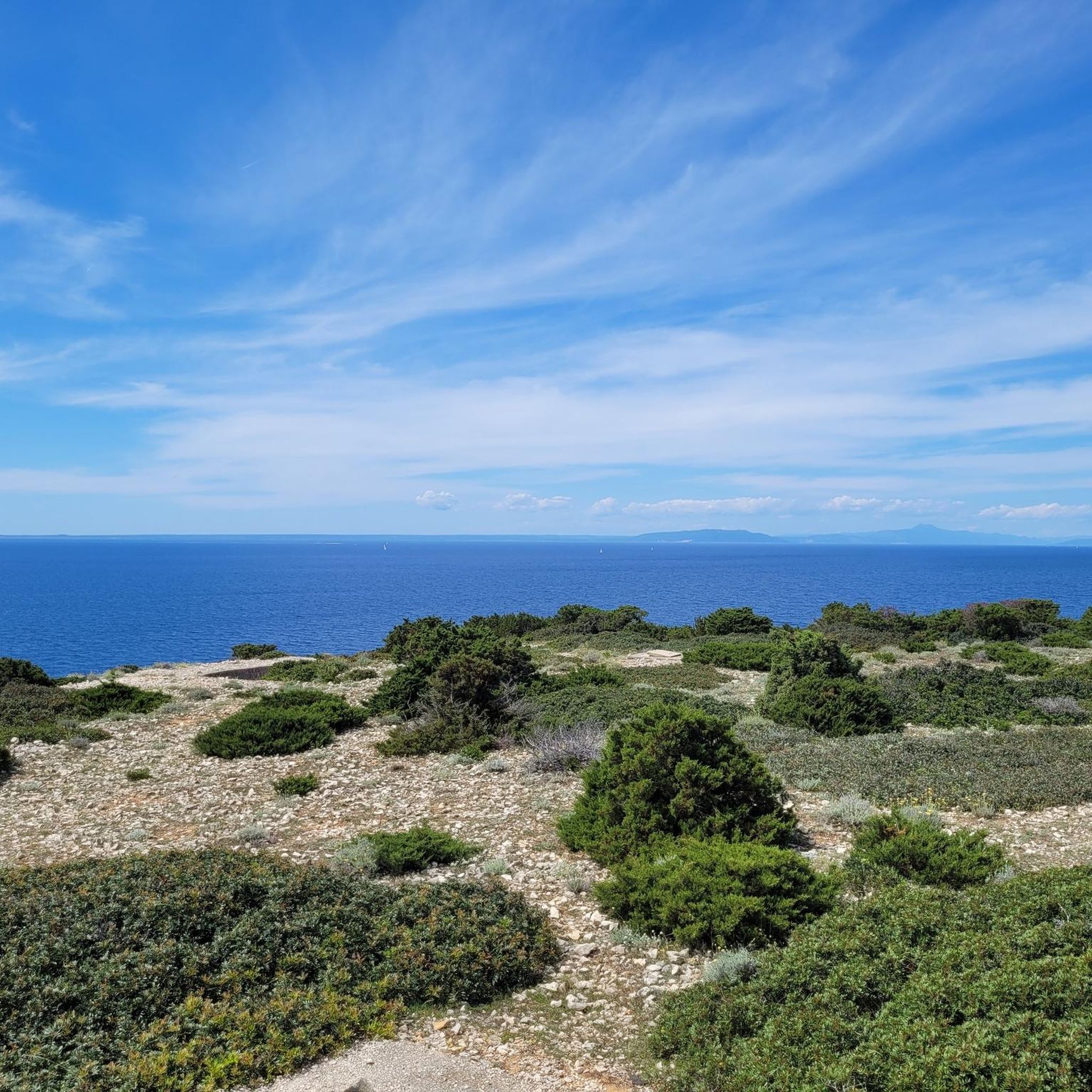
Sensational view of the sea
0
0

Incredible views of the entire Kvarner Bay, Istria and Italy.
0
0
At night the lighthouse on Susak dazzles😜
0
0
View is great, intersection with 4 directions.
0
0

Here you can take perfect photos with Mali Lošinj and sea behind you! Especially beautiful during sunsets and sunrises
0
0

A beautiful view 👍
0
0

At the radio mast, turn towards Jema. This is followed by a via ferrata (A / B) and a long gravel path
0
0
Frequently Asked Questions
How many mountaineering routes can I explore on Unije island?
Komoot features 5 distinct mountaineering routes around Unije, offering a range of experiences from moderate ascents to more challenging climbs. These trails traverse the island's undulating hills, extensive olive groves, and scenic coastal paths.
What kind of terrain will I encounter on Unije's mountaineering trails?
Unije's mountaineering trails are characterized by an undulating landscape of low hills, lush Mediterranean evergreen macchia, aromatic pine groves, and ancient olive trees. You'll find varied terrain, from gentle paths through fields to more strenuous ascents towards points like the Televrina Summit, offering panoramic views.
Are there any challenging mountaineering routes for experienced hikers on Unije?
Yes, for experienced mountaineers seeking a challenge, routes like the Televrina loop from Osor, spanning 10.4 miles (16.7 km) with significant elevation changes, are available. Another demanding option is the Televrina – Počivalice loop from Nerezine, which covers 15.9 km and also features considerable elevation gain.
Are there any family-friendly or easier mountaineering options on Unije?
While Unije's routes are generally categorized for mountaineering, some offer a more moderate experience suitable for families or those looking for less strenuous hikes. The island's car-free environment makes for a peaceful and safe exploration. For example, the Mountaineering loop from Nerezine is a moderate 4.6-mile (7.5 km) trail that provides diverse island scenery without extreme difficulty.
What are some notable natural features or landmarks I might see along the routes?
As you explore Unije, you'll encounter extensive olive groves, fragrant pine forests, and stunning coastal vistas. Keep an eye out for the historic Vnetak Lighthouse on the island's southwest, offering wonderful sea views. You might also discover traces of history, such as the remains of a Roman villa or the 15th-century Church of St. Andrew, adding a cultural dimension to your outdoor adventure.
Can I find any loop trails for mountaineering on Unije?
Yes, Unije offers several excellent loop trails for mountaineering. Popular options include the Mountaineering loop from Nerezine, the Križica – Uvala Jaz loop from Osor, and the more challenging Televrina loop from Osor. These loops allow you to experience the island's diverse landscapes without retracing your steps.
What do other mountaineers say about the routes on Unije?
The mountaineering routes on Unije are highly regarded by the komoot community, boasting an average rating of 5.0 stars from more than 10 reviews. Mountaineers often praise the island's tranquil, car-free environment, the well-maintained trails, and the rewarding panoramic views of the sea and surrounding islands.
Is Unije island accessible by public transport, and is there parking for hikers?
Unije is a car-free island, which significantly enhances the peaceful outdoor experience. This means there is no parking available for private vehicles. Access to Unije is primarily by ferry or catamaran from nearby islands or the mainland. Once on the island, you'll explore safely and peacefully on foot, as tractors are the main mode of transport for locals.
Are there opportunities for wild swimming or relaxing on beaches after a hike?
Absolutely! Unije's coastline is dotted with numerous pebble beaches, secluded coves, and inlets. After a rewarding hike, you can find tranquil spots to relax and enjoy the crystal-clear turquoise waters of the Adriatic Sea. These areas are ideal for swimming, snorkeling, or simply unwinding by the sea.
What is the highest point I can reach on a mountaineering route on Unije?
The highest point on Unije island is Kalk, at 138 meters. However, for mountaineering, the Televrina Summit is a more notable point, offering significant elevation changes and rewarding views. Several routes, such as the Televrina loop from Osor, will lead you through the island's higher elevations, providing a true mountaineering experience.
When is the best time of year to go mountaineering on Unije?
The best time for mountaineering on Unije is typically during the spring (April to June) and early autumn (September to October). During these periods, the weather is pleasantly mild, and the Mediterranean vegetation is vibrant. The summer months can be quite hot, making longer hikes more challenging, while winter offers a quieter experience but with potentially cooler and wetter conditions.
Most popular routes around Unije

Get inspired with the komoot mobile app


Explore more
Browse the best Mountain Hikes & Routes in other regions.
