The best road cycling routes around Općina Lovreć
5.0
(3)
47
riders
7
rides
Road cycling routes around Općina Lovreć are situated in the Imotska Krajina region of Croatia, characterized by a diverse topography of hills and valleys. The area features mostly paved surfaces suitable for road bikes, with an average altitude of 550 meters. Proximity to the Dinarids and Biokovo mountain ranges provides varied terrain, including ascents and descents. This landscape offers engaging routes for different skill levels.
Best road cycling routes around Općina Lovreć
- The most popular road cycling route is Cetina…
Last updated: September 28, 2026
5.0
(1)
16
riders
72.7km
03:41
1,120m
1,120m
Hard road ride. Very good fitness required. Mostly well-paved surfaces and easy to ride.
5.0
(1)
14
riders
66.4km
02:49
480m
480m
Moderate road ride. Good fitness required. Mostly well-paved surfaces and easy to ride.

6
riders
56.4km
03:07
1,170m
1,170m
Hard road ride. Very good fitness required. Mostly well-paved surfaces and easy to ride.
5.0
(1)
4
riders
52.2km
02:48
920m
920m
Hard road ride. Very good fitness required. Some segments of this route may be unpaved and difficult to ride.
3
riders
51.7km
02:43
900m
900m
Moderate road ride. Good fitness required. Mostly well-paved surfaces and easy to ride.
Get access to more routes and recommendations from other explorers.
Already have an account?
Our route recommendations are based on thousands of hikes, rides, and runs completed by other people on komoot.
Start today with a free account
Your next adventure awaits.
Popular around Općina Lovreć
Tips from the Community

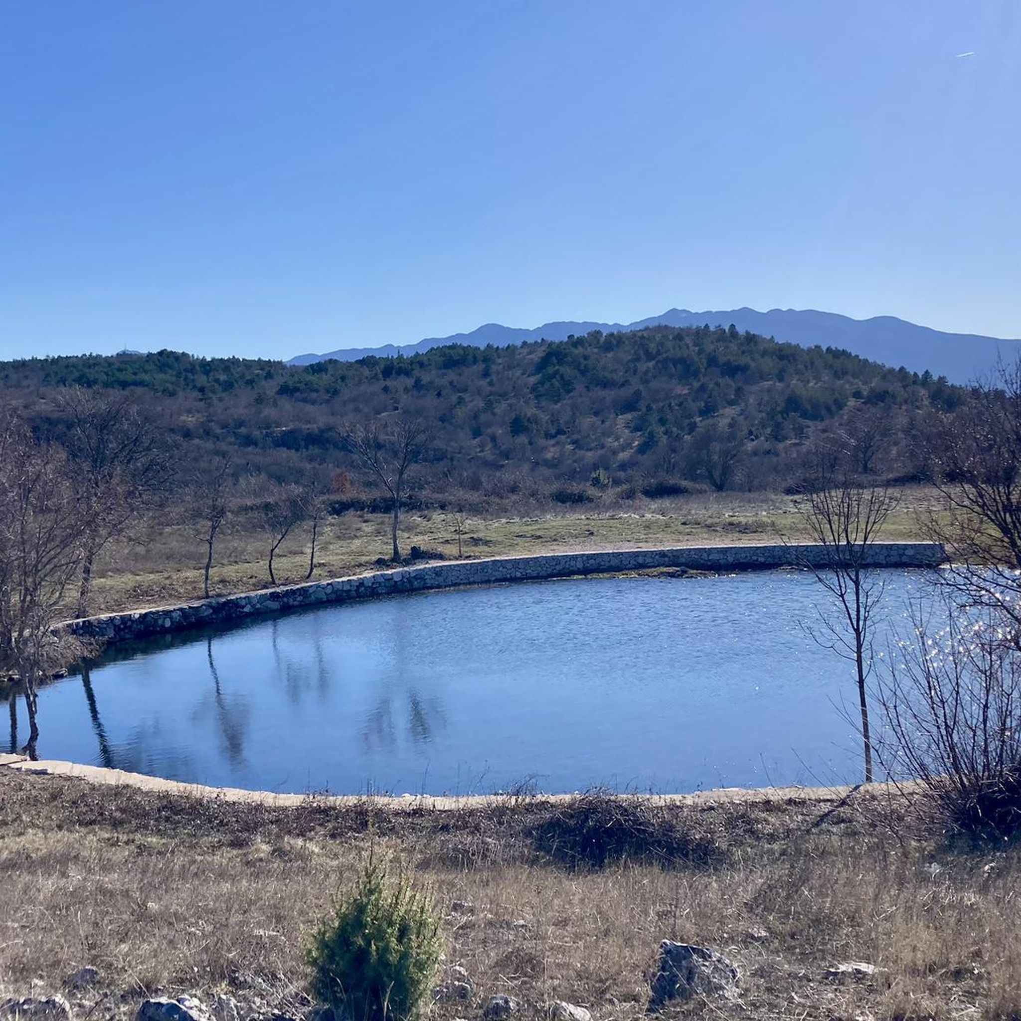
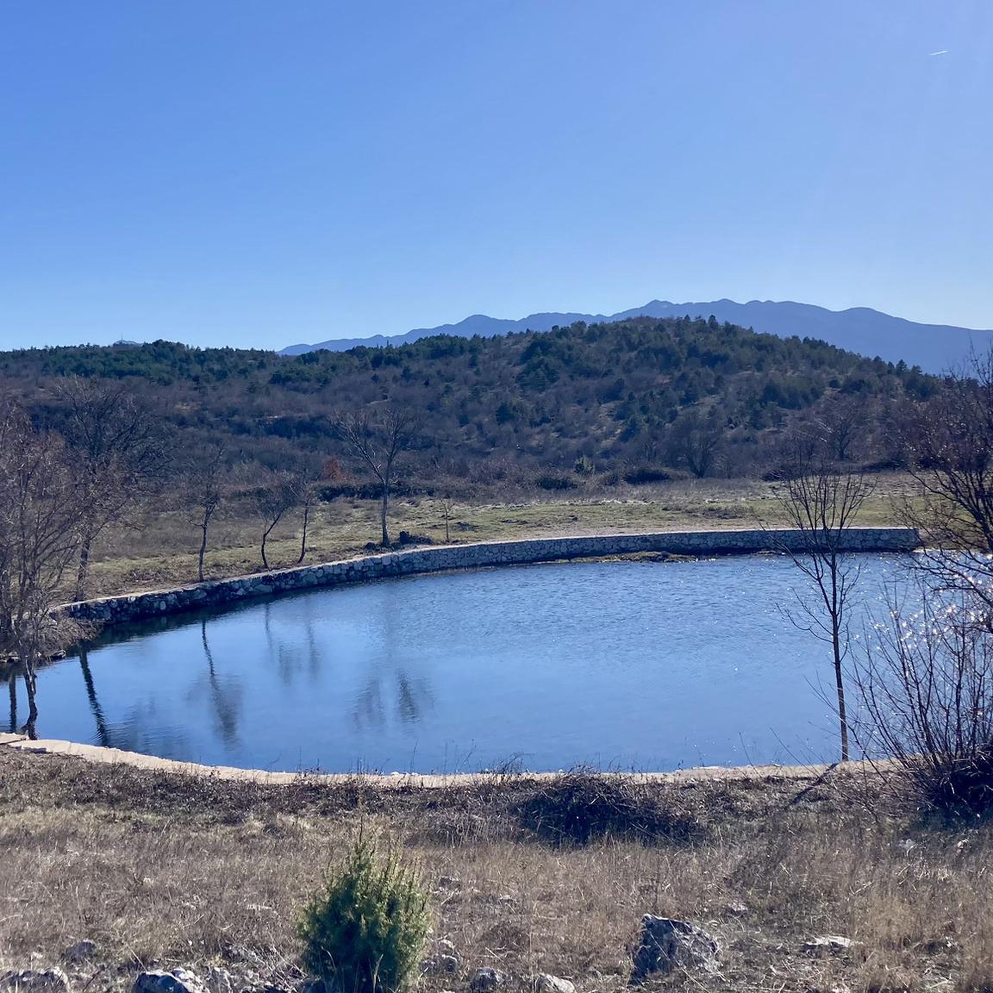
Beautiful view over the lake towards the west
0
0

If you start in Omis you have two options. Either along the Cetina to Kucice and then via Slime to Dubci and from there back along the main road to Omis. It is recommended to drive up to Lokva Rogoznica at the second tunnel. It is really steep at the beginning but the view at the top is simply fantastic. There is also the longer alternative via Gata and Blato na Cetina. Then it is simply hinterland.
0
0

A few hundred meters from Lake Buško, the eco-village of Grabovica makes for a nice stopover. Both a hotel and a restaurant, you will find rooms at a very reasonable price, traditional comforting cuisine, but also a small zoo.
1
0
Zadvarje is a small town in Dalmatia, Croatia. Located a few kilometers from the Adriatic coast, it can be discovered at the end of a beautiful climb on the edge of the Biokovo natural park. Built overlooking the canyon of the Cetina river, it is the starting point for many canyoning routes. The city is also known for its very large market, which takes place there every Tuesday and which attracts people from all the neighboring towns. Between mountain and river, a small pearl still very little impacted by tourism.
2
0
Beautiful view of Lake Buško, which is also the largest artificial reservoir in Europe. From the main road, many small paths lead down to beaches, from where it is easy to swim. The lake, which rises to an altitude of 716 meters, has an area of 56 square kilometers. It is still relatively untouched by tourism, but you will find good quality and reasonably priced dining and accommodation options on its banks.
1
0

Alone the stands on the roadside are worthwhile. Olive oil, wine, fruits, vegetables, everything tastes the way you would expect. The waterfall is a gem. Nothing that really knocked you off, but a wonderful goal to turn around.
0
0
Frequently Asked Questions
What kind of terrain can I expect on road cycling routes around Općina Lovreć?
The region of Općina Lovreć offers a diverse topography of hills and valleys, with an average altitude of 550 meters. You'll encounter a mix of ascents and descents, providing engaging routes for various skill levels. The proximity to the Dinarids and Biokovo mountain ranges also contributes to the varied and often challenging terrain.
Are there road cycling routes suitable for beginners or those looking for an easier ride?
While many routes in Općina Lovreć feature significant elevation gain, there are moderate options available. For example, the Buško Blato Lake – Buško Lake loop from Kazaginac is a moderate 41.3-mile (66.4 km) trail that leads through the lake region, offering a less strenuous experience compared to some of the more difficult climbs.
What are some of the most scenic viewpoints or landmarks I can see while road cycling in the area?
Road cycling routes in Općina Lovreć often provide breathtaking views. The Cetina River Canyon Road – View of the Omiš Riviera loop from Šestanovac offers spectacular vistas of the Cetina River Canyon. You can also expect panoramic views of the Dinarids and Biokovo mountain ranges, and the dramatic Cetina River Gorge, which are defining features of the region's landscape.
How many road cycling routes are available in Općina Lovreć?
There are 8 road cycling routes available around Općina Lovreć, catering to different preferences and fitness levels. These routes are highly rated by the komoot community, with an average score of 4.9 stars.
What is the best time of year to go road cycling in Općina Lovreć?
Općina Lovreć benefits from a favorable climate, making it suitable for road cycling for much of the year. The spring and autumn months generally offer pleasant temperatures and less crowded routes, ideal for enjoying the region's natural beauty without the peak summer heat.
Are there any circular road cycling routes in Općina Lovreć?
Yes, many of the road cycling routes in Općina Lovreć are designed as loops, allowing you to start and finish at the same point. Examples include the challenging View of Slime – Zadvarje loop from Cista Provo and the moderate Buško Blato Lake – Buško Lake loop from Kazaginac.
What do other road cyclists enjoy most about the routes in Općina Lovreć?
The road cycling routes in Općina Lovreć are highly rated by the komoot community, with an average score of 4.9 stars from nearly 20 reviews. Cyclists often praise the diverse terrain, the challenging ascents, and the stunning views of the Cetina River Canyon and the surrounding mountain ranges.
What is the typical difficulty level of road cycling routes in Općina Lovreć?
The routes around Općina Lovreć range from moderate to difficult. Out of the 8 available routes, 3 are classified as moderate and 5 as difficult, indicating that many routes feature significant elevation gain and are best suited for experienced road cyclists or those looking for a challenge.
Are there any particularly challenging road cycling routes for experienced riders?
Experienced riders seeking a challenge will find several difficult routes. The Roadbike loop from crkva svetog Jeronima, for instance, features over 1170 meters of elevation gain over 56.4 km, providing a demanding ride through the region's hilly landscape.
What are the typical distances for road cycling routes in Općina Lovreć?
The road cycling routes in Općina Lovreć vary in distance, generally ranging from approximately 50 km to over 70 km. For example, the Grašnik loop from Šestanovac is 52.2 km, while the View of Slime – Zadvarje loop from Cista Provo extends to 72.7 km.
Can I find routes that offer views of lakes or rivers?
Yes, the region offers routes with beautiful water views. The Buško Blato Lake – Buško Lake loop from Kazaginac takes you through a picturesque lake region. Additionally, the dramatic Cetina River Gorge is a prominent feature along several routes, offering stunning river canyon vistas.
Most popular routes around Općina Lovreć

Get inspired with the komoot mobile app


Explore more
Browse the best Road cycling routes in other regions.
