The best walks and hikes around Općina Prgomet
4.5
(630)
4,930
hikers
165
hikes
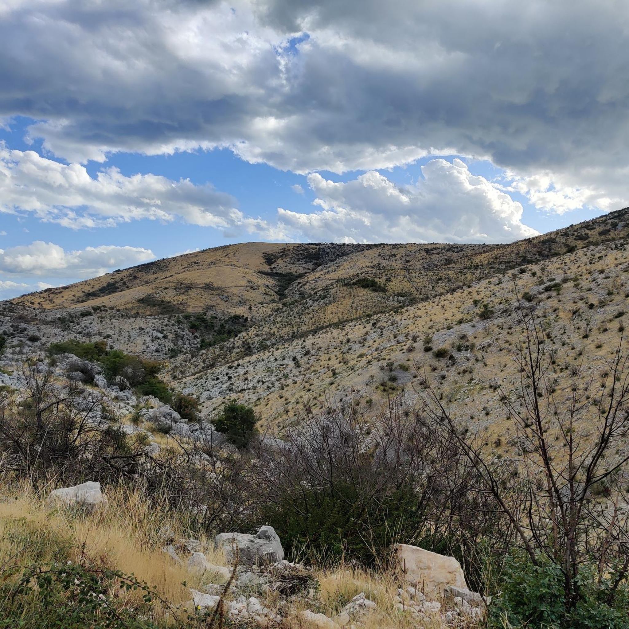
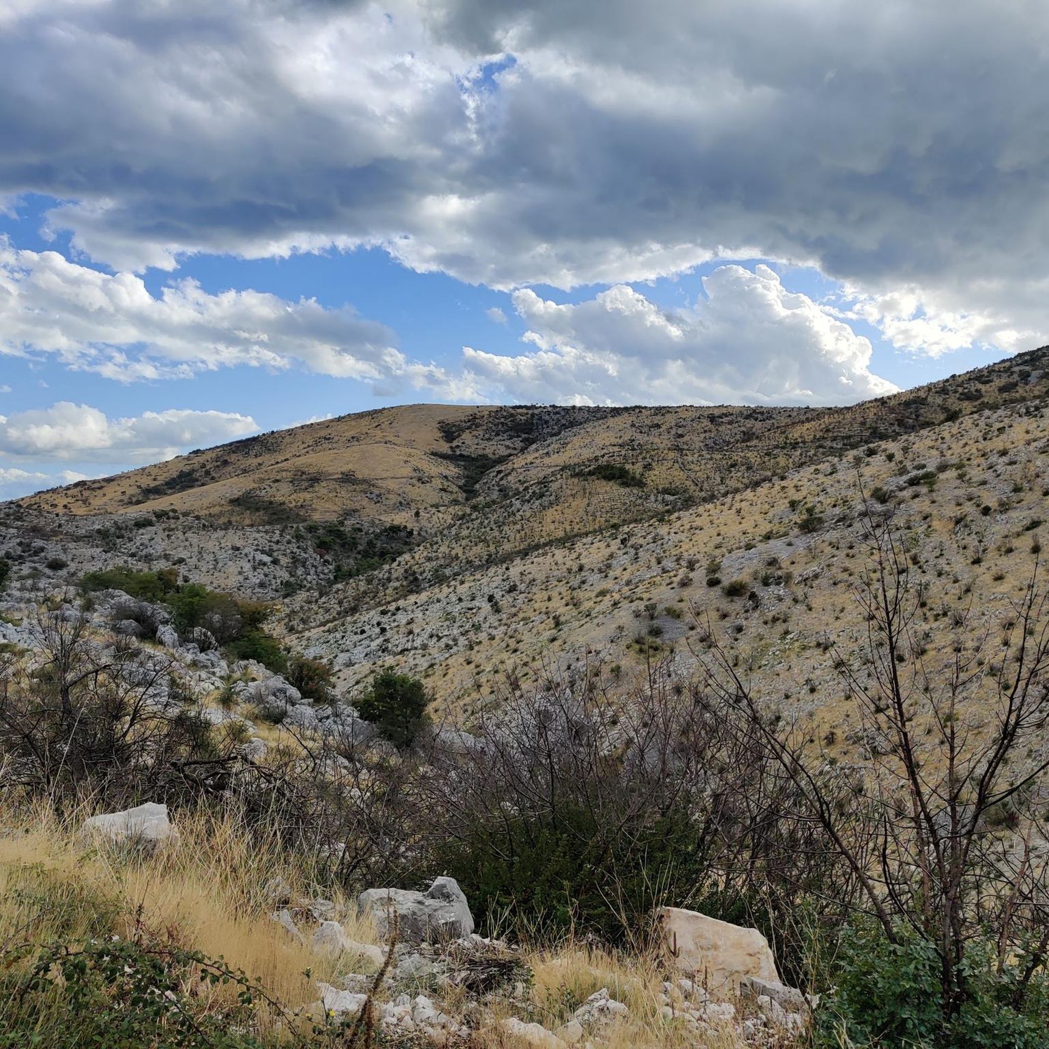
Hiking around Općina Prgomet offers diverse terrain in Croatia's Split-Dalmatia County. The region is characterized by hilly landscapes, with elevations up to 700 meters above sea level, and features typical Mediterranean macchia vegetation. Natural features include karst formations and proximity to the Adriatic coast, providing varied scenery for hiking routes near Prgomet Croatia.
Best hiking trails around Općina Prgomet
- The most popular hiking route is Trogir Old Town – Camerlengo Castle. loop from Trogir, a 2.1 miles (3.4 km)…
Last updated: June 29, 2026
4.7
(47)
395
hikers
3.55km
00:54
10m
10m
Easy hike. Great for any fitness level. Easily-accessible paths. Suitable for all skill levels.
4.4
(37)
119
hikers
11.2km
03:19
310m
310m
Moderate hike. Good fitness required. Easily-accessible paths. Suitable for all skill levels.

Sign up for free
4.2
(6)
101
hikers
Easy hike. Great for any fitness level. Easily-accessible paths. Suitable for all skill levels.
4.7
(10)
77
hikers
3.00km
00:47
20m
20m
Easy hike. Great for any fitness level. Easily-accessible paths. Suitable for all skill levels.
4.9
(8)
87
hikers
5.30km
01:36
160m
160m
Moderate hike. Great for any fitness level. Mostly accessible paths. Sure-footedness required.
4.7
(7)
101
hikers
6.55km
01:40
20m
20m
Easy hike. Great for any fitness level. Easily-accessible paths. Suitable for all skill levels.
4.7
(7)
82
hikers
10.1km
02:34
30m
30m
Moderate hike. Good fitness required. Easily-accessible paths. Suitable for all skill levels.
4.8
(8)
65
hikers
12.9km
03:22
100m
100m
Moderate hike. Good fitness required. Easily-accessible paths. Suitable for all skill levels.
4.6
(14)
45
hikers
12.9km
03:30
180m
180m
Moderate hike. Good fitness required. Easily-accessible paths. Suitable for all skill levels.
4.3
(7)
56
hikers
10.9km
02:59
160m
160m
Moderate hike. Good fitness required. Easily-accessible paths. Suitable for all skill levels.
Get access to more routes and recommendations from other explorers.
Sign up for free
Already have an account?
Our route recommendations are based on thousands of hikes, rides, and runs completed by other people on komoot.
Start today with a free account
Your next adventure awaits.
Login or Signup

Tips from the Community

Great all-round view from the top of the tower and along the rampart
0
0

One of the most beautiful places with a view of the old town.
0
0

Small bathing bay away from the main beaches, highly recommended, at least in the off-season.
0
0
Beautiful path along the water with many beautiful trees - pure nature.
1
0
Small, rounded stones that are pleasant to walk on even barefoot. Very clear water. Plenty of open space for lounging in early October.
0
0

In the evening you have a very nice view of the harbor from above
0
0

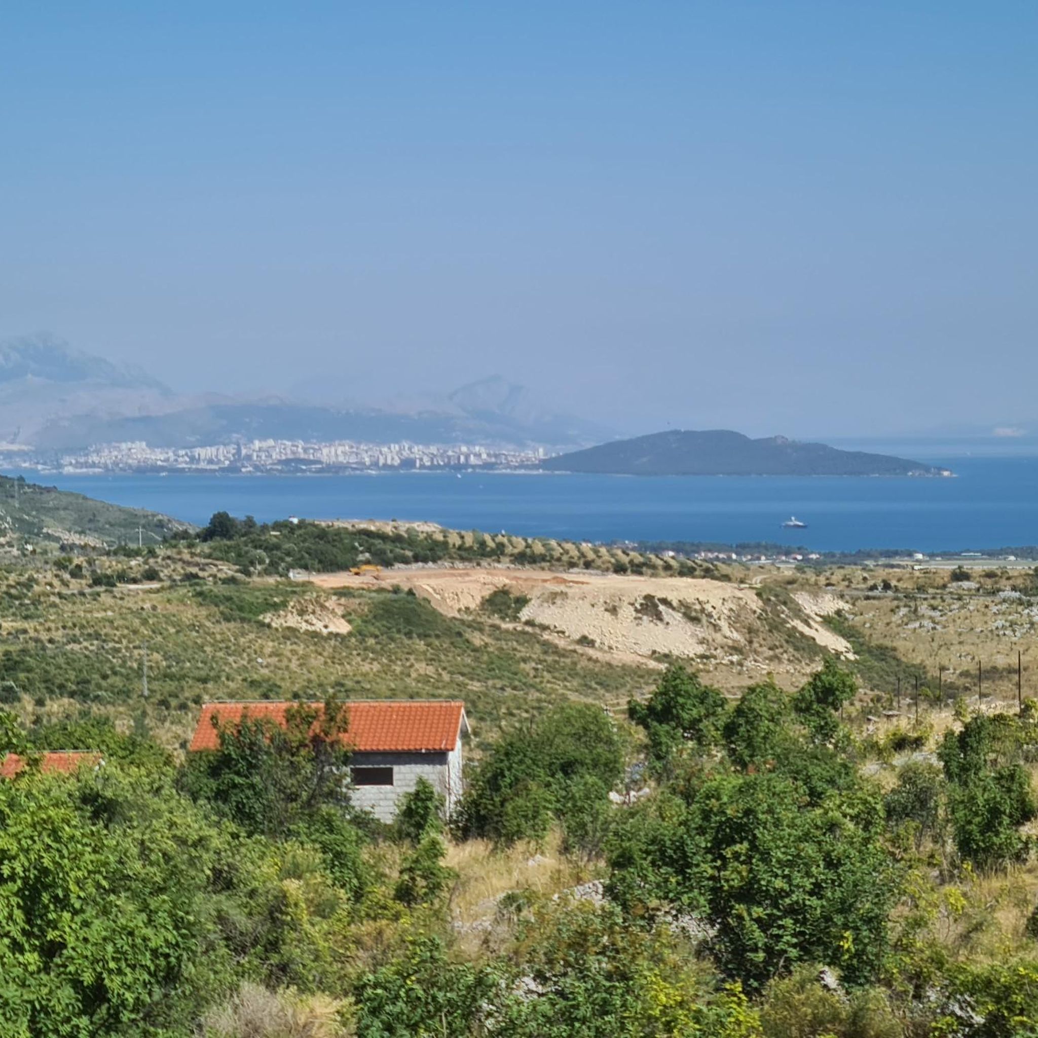
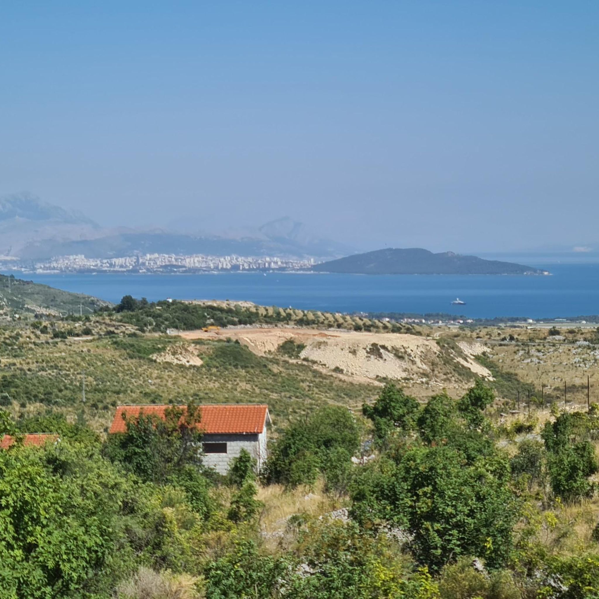
Beautiful ridge trail with a great view towards Split and Kaštela
0
0
Frequently Asked Questions
How many hiking trails are available in Općina Prgomet?
There are over 160 hiking routes in Općina Prgomet. These include a wide range of difficulties, with more than 90 easy trails, over 60 moderate options, and a few challenging routes for experienced hikers.
What kind of terrain can I expect on hikes around Općina Prgomet?
The region is characterized by hilly landscapes, with elevations reaching up to 700 meters above sea level. You'll find typical Mediterranean vegetation, primarily macchia-covered hills, offering scenic views. The area also features karst formations and is close to the Adriatic coast, providing a diverse mix of inland and coastal scenery.
Are there any family-friendly hiking options in Općina Prgomet?
Yes, Općina Prgomet offers numerous family-friendly hiking options. Many of the 96 easy trails are suitable for families, providing accessible paths to enjoy the natural beauty without excessive difficulty. For example, the Trogir Old Town – Camerlengo Castle. loop from Trogir is an easy, short route perfect for a family stroll through historic urban landscapes.
Are there any circular hiking routes in the Općina Prgomet area?
Yes, many routes in Općina Prgomet are designed as loops, allowing you to start and end at the same point. Examples include the Kružine Rock Formation – Medena Cove loop from Trogir, which offers coastal views, or the Kamerlengo Fortress, Trogir – View of Trogir's Old Town loop from Trogir for a historical exploration.
What are some notable natural features or landmarks to see while hiking?
Hikers can explore the hilly terrain, including prominent hills like Ošljak, Praća, Ljubeč, Opor, and Papić-brdo, which offer wonderful views. The region is also known for its karst formations and is close to the Krka River canyon, a significant natural feature. Historic sites like Camerlengo Castle and Trogir Old Town are also accessible on some routes.
What do other hikers enjoy most about hiking in Općina Prgomet?
The hiking trails in Općina Prgomet are highly rated by the komoot community, with an average score of 4.5 stars from over 600 reviews. Hikers often praise the diverse terrain, the blend of Mediterranean vegetation and coastal proximity, and the variety of routes suitable for different ability levels.
Are there any long-distance hiking trails accessible from Općina Prgomet?
Yes, Općina Prgomet is connected to the Via Dinarica Blue Trail, a significant long-distance hiking route that traverses Croatia. Segments like "Malačka - Danilo (Via Dinarica day 212)" and "Via Dinarica HR-B-14 Central Dalmatia" are in the vicinity, offering opportunities for extended treks and exploration of the Croatian Adriatic coast and its natural parks.
What is the best time of year to go hiking in Općina Prgomet?
Given the Mediterranean climate, spring and autumn are generally the most pleasant seasons for hiking in Općina Prgomet. The temperatures are milder, and the vegetation is vibrant. Summer can be hot, especially at midday, while winter offers cooler conditions, though some higher elevations might experience more challenging weather.
Are there any coastal hiking routes near Općina Prgomet?
While Općina Prgomet itself is in the hinterland, its proximity to the Adriatic coast means many routes offer coastal views or lead to coastal areas. The Medena Cove – Church of Seget Vranjica loop from Trogir is an example of a moderate route that explores coastal areas.
Can I find routes that offer good viewpoints in the area?
Absolutely. The hilly terrain of Općina Prgomet, with peaks up to 700 meters, naturally provides many opportunities for panoramic views. Trails traversing hills like Ošljak or Praća, as well as those near the coast, often feature stunning vistas of the surrounding landscapes and the Adriatic Sea.
Are there any easy routes that explore historical sites?
Yes, you can combine easy hiking with historical exploration. The Camerlengo Castle. – Trogir Old Town loop from Trogir is an easy route that takes you through the historic urban landscapes of Trogir, allowing you to experience its rich heritage.
What is the typical duration for a moderate hike in Općina Prgomet?
Moderate hikes in Općina Prgomet can vary in duration depending on the distance and elevation gain. For instance, the Italian WWII Bunker – View of Birnjac from the Bench loop from Malačka is a moderate 5.3 km route that typically takes around 1 hour and 35 minutes to complete.
Most popular routes around Općina Prgomet

Get inspired with the komoot mobile app


Explore more
Browse the best Hikes in other regions.
