The best mountain hikes around Domažlice
5.0
(4)
34
hikers
5
hikes
Mountaineering routes around Domažlice traverse a diverse landscape within the Plzeň Region of the Czech Republic, characterized by ancient woodlands, rolling hills, and significant peaks. The area features rugged terrain, including rocky cliffs and cascading streams, particularly within the Přírodní park Český les (Bohemian Forest Nature Park). Notable elevations like Čerchov Mountain and other peaks exceeding 1,000 meters offer challenging ascents and panoramic views. The region also provides established rock climbing areas, contributing to its varied mountaineering experiences.
Best mountaineering routes around Domažlice
- The most popular mountaineering route is Great Osser – Osserwiese Meadow loop from Neurittsteig, a 11.1 miles (17.9 km) trail that takes 6 hours 5 minutes to complete. This difficult route features significant elevation gain through forested mountain terrain.
- Another top favourite among local mountaineers is Bärenriegel (1,017 m) – Ahornriegel Summit Cross loop from Neukirchen beim Heiligen Blut, a moderate 6.5 miles (10.5 km) path. This route leads through mountain forests to a summit cross, offering views of the surrounding peaks.
- Local mountaineers also love the Reiseckbrünnerl – Stone Spring loop from Voithenberg, Wanderparkplatz Reisecker Str., a 2.9 miles (4.6 km) trail leading through forested valleys, often completed in about 1 hour 25 minutes.
- Mountaineering around Domažlice is defined by ancient woodlands, significant peaks, and rugged rock formations, with options ranging from moderate ascents to challenging climbs. The network offers options for different ability levels, from easier forest paths to more demanding mountain trails.
- The routes in Domažlice are highly rated by the komoot community with an average score of 5.0 stars from over 4 reviews. More than 35 mountaineers have used komoot to explore Domažlice's varied terrain.
Last updated: May 13, 2026
5.0
(1)
12
hikers
17.9km
06:08
740m
740m
Hard mountaineering route. Very good fitness required. Sure-footedness, sturdy shoes and alpine experience required.
5.0
(2)
10
hikers
Moderate mountaineering route. Good fitness required. Mostly accessible paths. Sure-footedness required.

Sign up for free
7
hikers
5.75km
01:37
110m
110m
Moderate mountaineering route. Great for any fitness level. Mostly accessible paths. Sure-footedness required.
5.0
(1)
4
hikers
Moderate mountaineering route. Good fitness required. Mostly accessible paths. Sure-footedness required.
1
hikers
Moderate mountaineering route. Good fitness required. Mostly accessible paths. Sure-footedness required.
2
hikers
Easy mountaineering route. Great for any fitness level. Easily-accessible paths. Suitable for all skill levels.
1
hikers
Moderate mountaineering route. Good fitness required. Mostly accessible paths. Sure-footedness required.
1
hikers
Moderate mountaineering route. Good fitness required. Mostly accessible paths. Sure-footedness required.
2
hikers
5.94km
01:59
280m
280m
Moderate mountaineering route. Great for any fitness level. Mostly accessible paths. Sure-footedness required.
5.0
(1)
1
hikers
8.27km
02:23
200m
200m
Moderate mountaineering route. Good fitness required. Easily-accessible paths. Suitable for all skill levels.
Our route recommendations are based on thousands of hikes, rides, and runs completed by other people on komoot.
Start today with a free account
Your next adventure awaits.
Login or Signup
Popular around Domažlice

Mountain Hikes in Národní Přírodní Rezervace Čerchovské Hvozdy
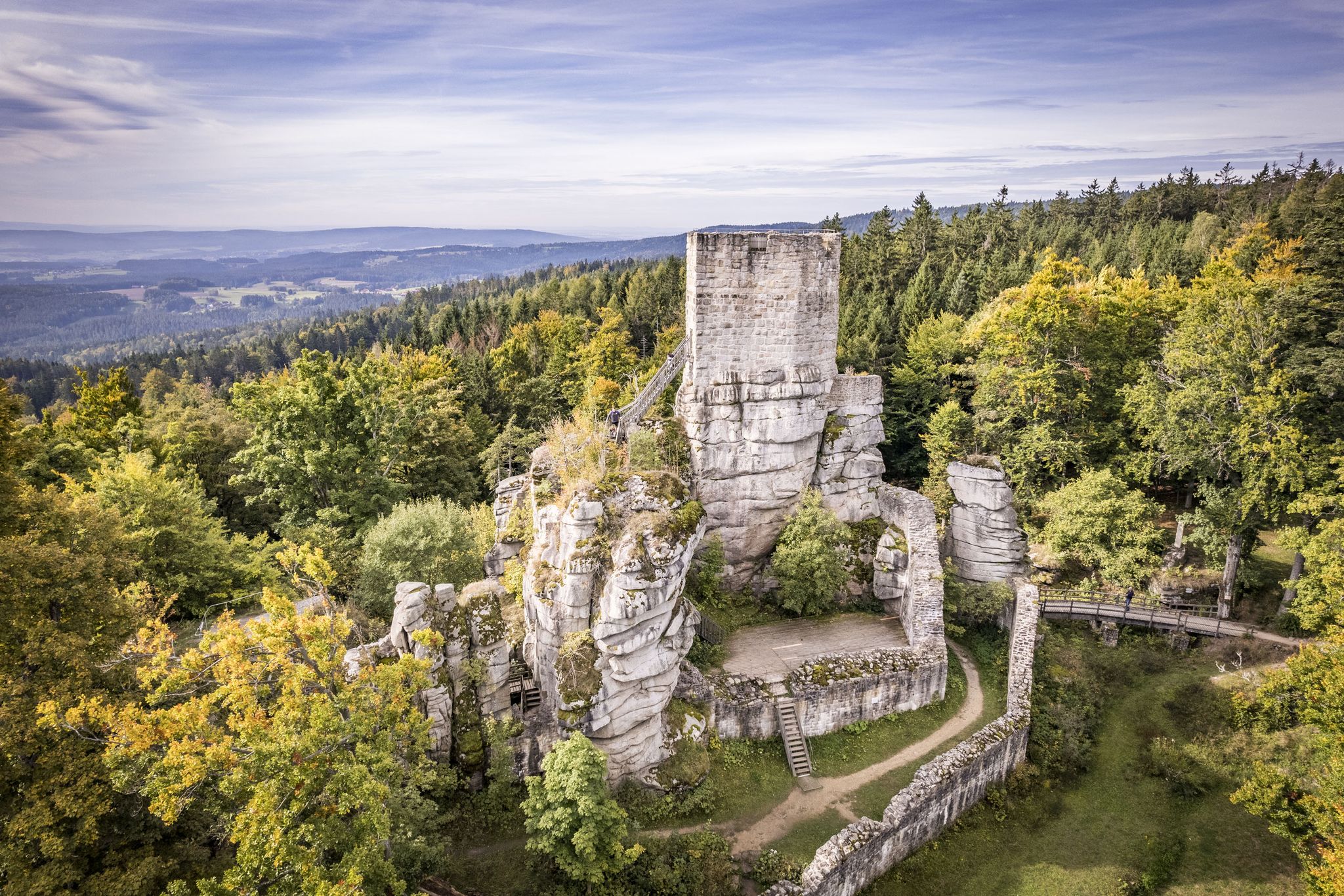
On the 'Kultouren' through the Upper Palatine Forest
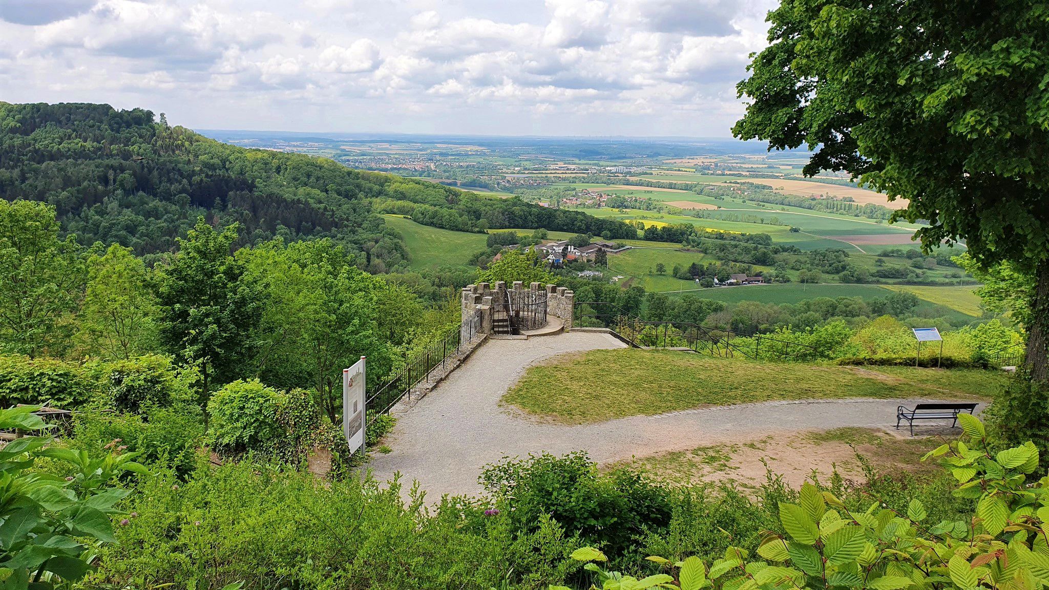
A cycling adventure from Paris to Prague – Pan-European Cycle Route
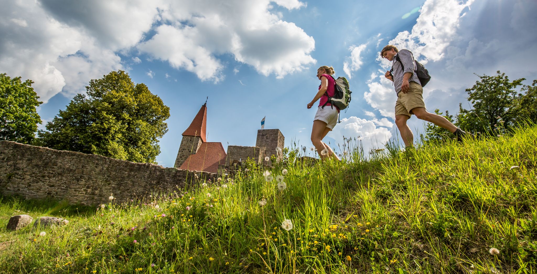
Water, forest and castles — hiking in the Upper Palatinate Forest
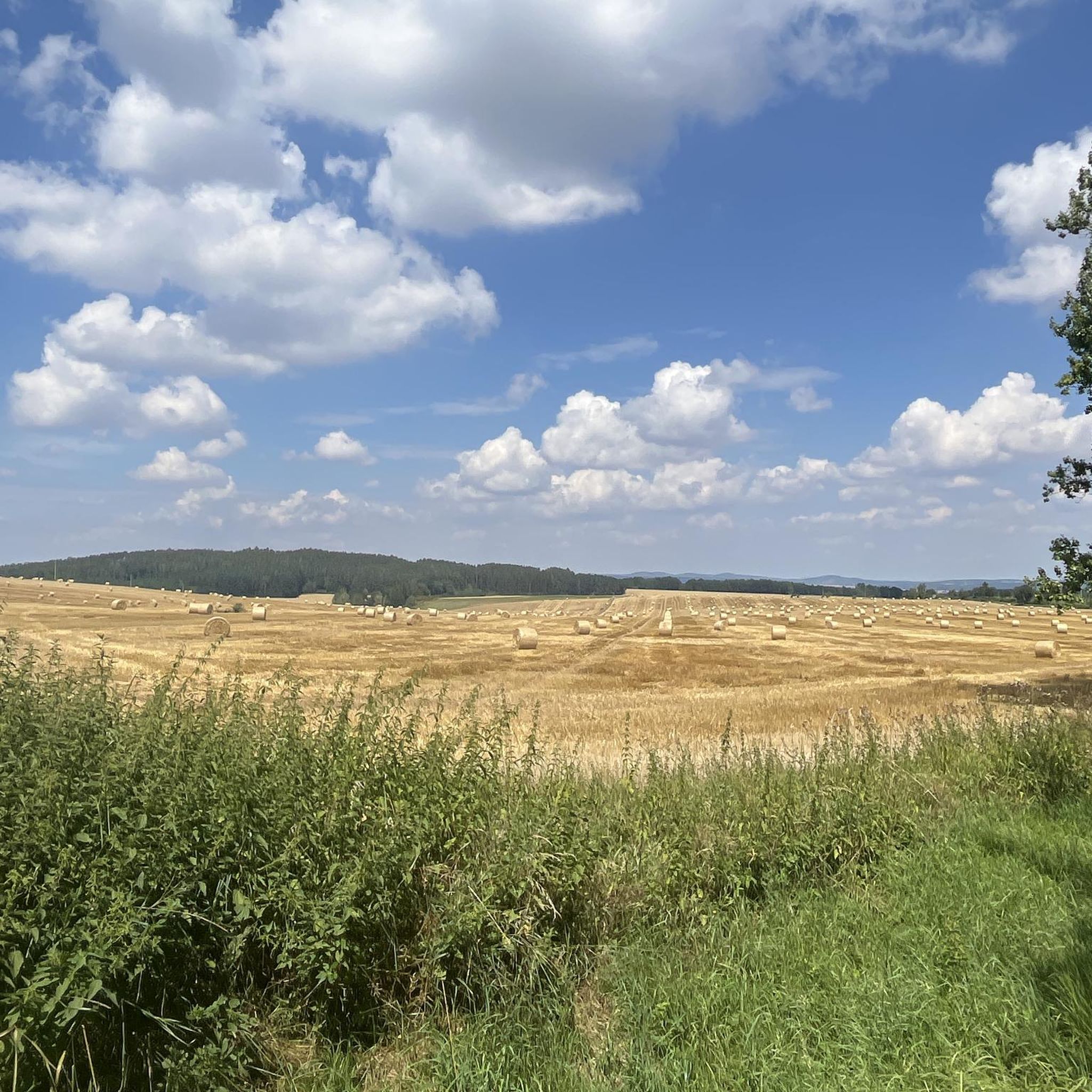
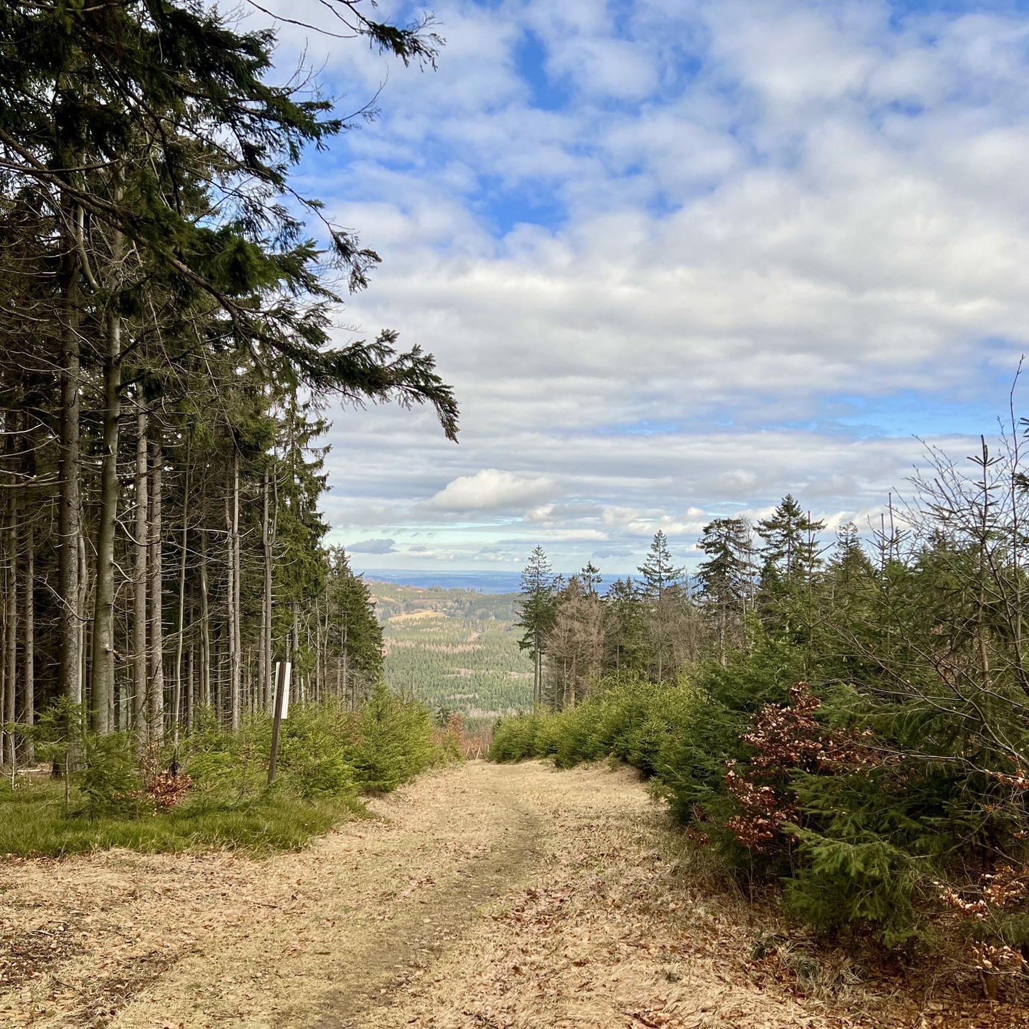
Hiking around Domažlice
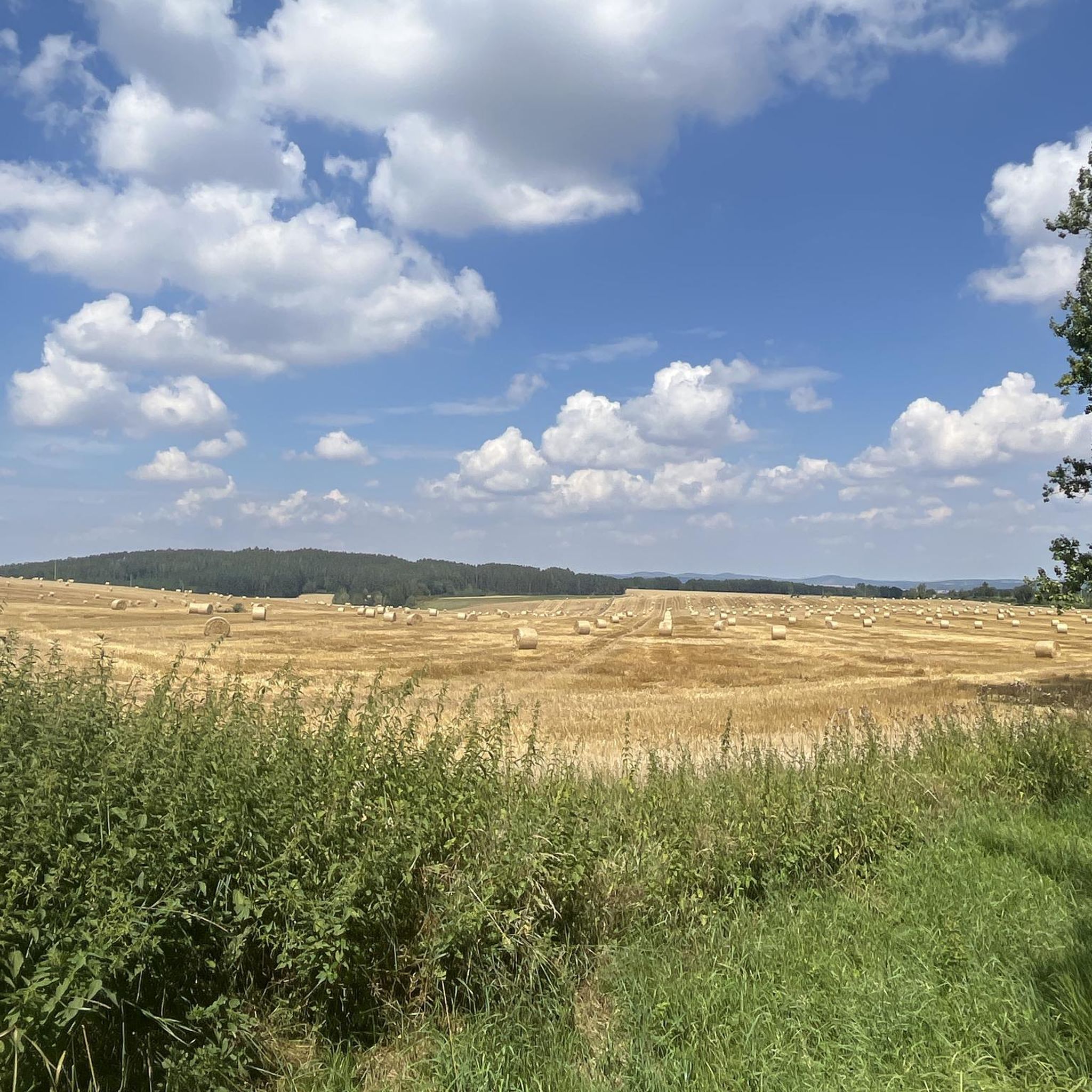
Cycling around Domažlice
Road Cycling Routes around Domažlice
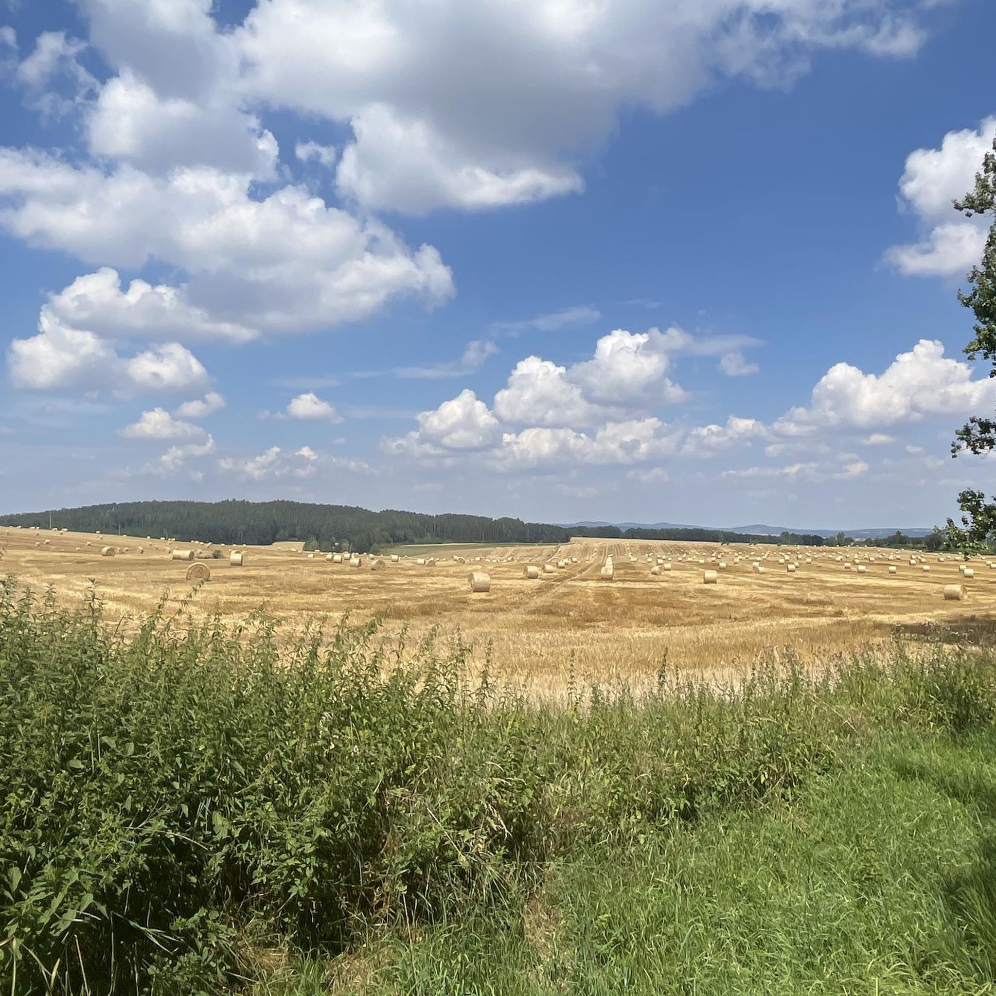
MTB Trails around Domažlice
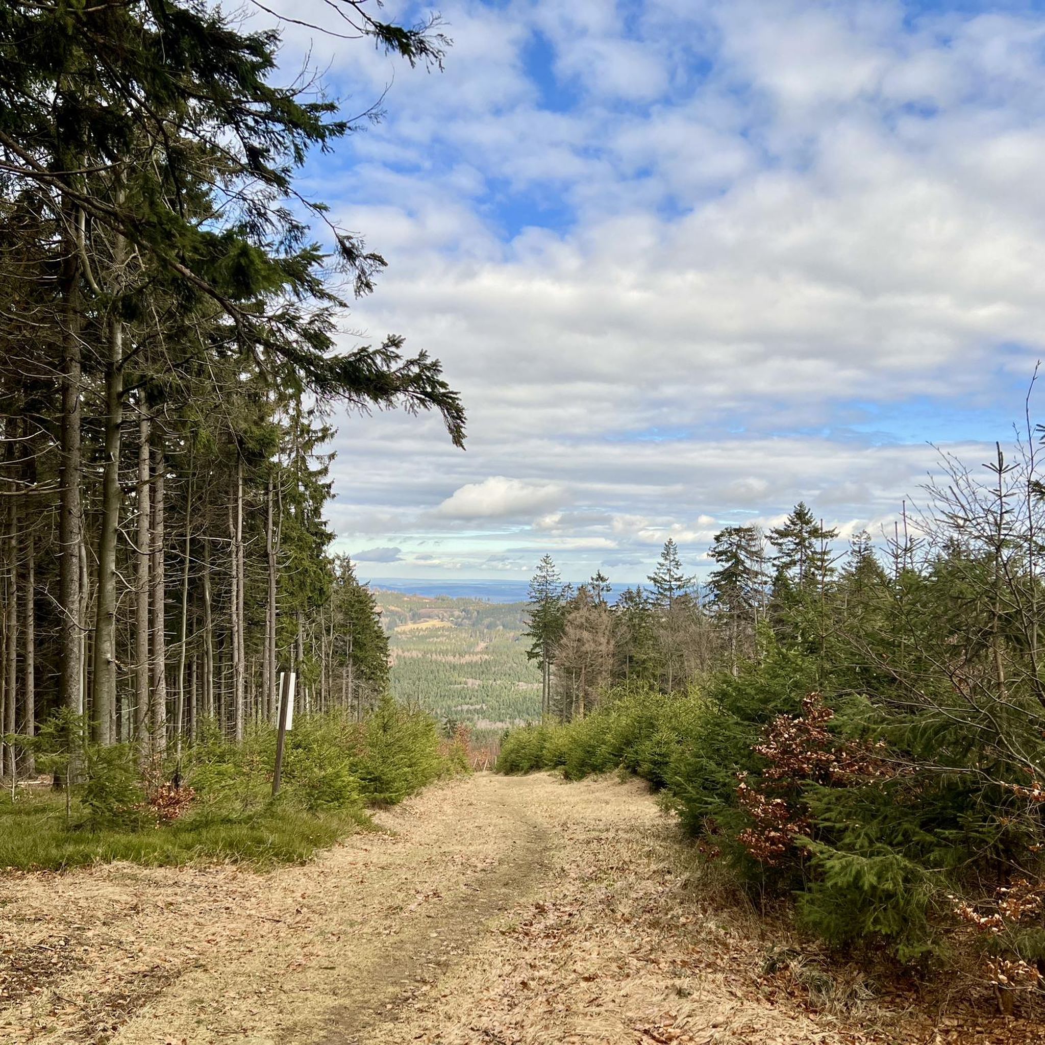
Running Trails around Domažlice
Gravel biking around Domažlice
Other adventures around Domažlice


Tips from the Community

Beautiful spot on the edge of the forest with a good view...
1
0

Great view, even if only in part.
1
0
Very good economy, delicious food and good drinks at reasonable prices with the best terrace view
2
0
The complex is very impressive. The viewing platform costs €6. Keep your receipt, as you'll need it again to exit. The view is phenomenal. There's a lovely beer garden at the base of the tower.
2
0
You quickly walk past it because the summit is barely visible.
1
0

The NATO listening post located here, the so-called Signals Sector F, was decommissioned in 2004. In addition to members of the German Armed Forces, US units were stationed there until 1992, and French units until 1994. It consisted of two towers and a complex passive reception and listening system. Since autumn 2014, the 75-meter-high main tower has been equipped with an external steel staircase and a 50-meter-high observation platform, and is open to the public as an observation tower during certain visiting hours.
0
0

Great views of the Bavarian Forest and Hohenbogen from the tower. Admission is 6 euros. It's best to hold your backpack in front of you at the turnstile 😉.
1
0

The easiest way to get there is to take the chairlift from Neukirchen hl Blut up and then walk there and back and take the chairlift down again
1
0
Frequently Asked Questions
What kind of mountaineering routes can I find around Domažlice?
The Domažlice region offers a diverse range of mountaineering experiences, primarily focusing on challenging hikes and rock climbing. You'll find routes traversing ancient woodlands, rolling hills, and significant peaks like Čerchov Mountain. The terrain includes rugged sections, rocky cliffs, and cascading streams, particularly within the Přírodní park Český les (Bohemian Forest Nature Park). Options range from moderate ascents to demanding mountain trails.
How many mountaineering routes are available in this guide?
This guide features 10 distinct mountaineering routes around Domažlice. These include 1 easy, 3 difficult, and 6 moderate trails, offering a variety of challenges for different skill levels.
Are there any easy mountaineering routes suitable for beginners?
Yes, there is one easy route in this guide: Reiseckbrünnerl – Stone Spring loop from Voithenberg, Wanderparkplatz Reisecker Str. This 2.9-mile (4.6 km) trail leads through forested valleys and is often completed in about 1 hour 25 minutes, making it a great option for those new to mountaineering.
What are some challenging routes for experienced mountaineers?
For experienced mountaineers seeking a challenge, consider the Great Osser – Osserwiese Meadow loop from Neurittsteig. This difficult 11.1-mile (17.9 km) trail involves significant elevation gain through forested mountain terrain and typically takes over 6 hours to complete. Another difficult option is the Three Coats of Arms – Kreuzfelsen Summit (Gibacht) loop from Gibacht.
Are there circular mountaineering routes in the Domažlice area?
Yes, many of the routes in this guide are circular, allowing you to start and end at the same point. Examples include the Bärenriegel (1,017 m) – Ahornriegel Summit Cross loop from Neukirchen beim Heiligen Blut and the Dachsriegel Mountain Hut – Rock Labyrinth Near Lixenried loop from Ponnholzbachtal.
What interesting sights or landmarks can I expect to see along the routes?
The region offers several notable attractions. You can visit the Čerchov Observation Tower and Former Military Site, which offers panoramic views from the highest peak in the Upper Palatinate Forest. Other points of interest include the Three Coats of Arms monument. The trails also wind through ancient woodlands and past rugged rock formations.
Are there any waterfalls in the Domažlice region?
Yes, the Přírodní park Český les (Bohemian Forest Nature Park), which many routes traverse, is known for its ancient woodlands and hidden waterfalls. The Borová Lada Nature Reserve also features cascading streams amidst its rugged terrain, offering picturesque natural beauty.
Are the mountaineering routes around Domažlice suitable for families?
While some routes involve steep ascents and rugged terrain, there are options suitable for families. The easy-rated Reiseckbrünnerl – Stone Spring loop from Voithenberg, Wanderparkplatz Reisecker Str. is a good choice for a shorter, less strenuous outing. For more options, look for routes with lower elevation gain and shorter distances.
Can I bring my dog on these mountaineering routes?
Most trails in the Domažlice region are generally dog-friendly, especially those through natural parks and forests. However, it's always advisable to keep your dog on a leash, especially in nature reserves or areas with wildlife, and to ensure they are capable of handling the terrain and distance of your chosen route. Always carry water for your pet.
What is the best time of year for mountaineering in Domažlice?
The best time for mountaineering in Domažlice is typically during the spring, summer, and autumn months when the weather is milder and trails are clear of snow. Summer offers lush greenery, while autumn provides stunning fall foliage. Always check local weather forecasts before heading out, as conditions can change rapidly in mountainous areas.
Are there places to eat or stay overnight near the trails?
Yes, the Domažlice region caters to outdoor enthusiasts with amenities such as mountain huts for rest and locally-sourced cuisine. Various accommodation options are available for overnight adventures, particularly in and around villages like Babylon and Neukirchen beim Heiligen Blut, which serve as starting points for several routes. The Čerchov Bistro is also located near the Čerchov Observation Tower.
Do I need any special permits for mountaineering in this area?
Based on available information, special permits are generally not required for hiking or mountaineering on the established trails in the Domažlice region or within the Přírodní park Český les. However, always respect local regulations, especially concerning nature protection and private property. If you plan to engage in rock climbing, specific permits or access rules might apply to designated climbing areas like Klenová or Březník.
What do other mountaineers say about the routes in Domažlice?
The mountaineering routes around Domažlice are highly rated by the komoot community, with an average score of 5.0 stars from over 4 reviews. Mountaineers often praise the varied terrain, from ancient woodlands to challenging peaks, and the opportunity to explore the natural beauty of the Bohemian Forest Nature Park.
Most popular routes around Domažlice
Most popular attractions around Domažlice

Get inspired with the komoot mobile app


Didn’t find what you were looking for?
Check out more Mountain Hikes & Routes throughout Domažlice below and find the perfect route in your destination.
Explore more
Browse the best Mountain Hikes & Routes in other regions.
