The best walks and hikes around Killaloe Municipal District
4.4
(982)
4,865
hikers
38
hikes
Hiking around Killaloe Municipal District offers diverse terrain, from the tranquil shores of Lough Derg to the challenging ascents of Moylussa. The region is characterized by its expansive waterways, including Lough Derg and the River Shannon, alongside ancient woodlands and rolling hills. This area provides a variety of landscapes for outdoor activities, catering to different fitness levels.
Best hiking trails around Killaloe Municipal District
- The most popular hiking route is Moylussa & Ballycuggaran loop, a 6.3 miles (10.1 km) trail that takes 3 hours 20 minutes to complete. This moderate route includes the ascent to Moylussa, the highest peak in County Clare, offering panoramic views of Lough Derg.
- Another top favourite among local hikers is 12 O'Clock Hills Purple Trail, a moderate 7.9 miles (12.7 km) path. This trail provides varied terrain and expansive views across the landscape.
- Local hikers also love the O'Briensbridge Parteen Weir Loop, a 3.0 miles (4.8 km) trail leading through riverside scenery, often completed in about 1 hour 10 minutes.
- Hiking around Killaloe Municipal District is defined by the shores of Lough Derg, the River Shannon, and forested areas like Ballycuggaran Forest. The network offers options for different ability levels, from gentle lakeside paths to more rugged mountain trails.
- The routes in Killaloe Municipal District are highly rated by the komoot community with an average score of 4.6 stars from over 200 reviews. More than 1,400 hikers have used komoot to explore Killaloe Municipal District's varied terrain.
Last updated: August 26, 2026
4.5
(34)
261
hikers
10.1km
03:19
480m
480m
Moderate hike. Good fitness required. Mostly accessible paths. Sure-footedness required.
4.9
(11)
79
hikers
12.7km
03:42
350m
350m
Hike the rewarding 12 O'Clock Hills Purple Trail in East Clare, Ireland, offering panoramic views and varied terrain over 7.9 miles.

Sign up for free
4.6
(8)
39
hikers
4.77km
01:12
10m
10m
Hike the easy O'Briensbridge Parteen Weir Loop, a 3.0-mile route along the River Shannon with views of Parteen Weir and historic O'Briensbri
5.0
(1)
8
hikers
4.89km
01:16
30m
30m
Easy hike. Great for any fitness level. Easily-accessible paths. Suitable for all skill levels.
5.0
(1)
4
hikers
11.7km
03:33
390m
390m
Moderate hike. Good fitness required. Easily-accessible paths. Suitable for all skill levels.
2
hikers
11.5km
03:03
120m
120m
Moderate hike. Good fitness required. Easily-accessible paths. Suitable for all skill levels.
13.7km
03:59
350m
350m
Hike the moderate 8.5-mile Moylussa and Cragnamurragh Loop for panoramic views of Lough Derg and diverse terrain.
1
hikers
14.5km
03:52
160m
160m
Moderate hike. Good fitness required. Easily-accessible paths. Suitable for all skill levels.
1
hikers
17.0km
04:42
300m
300m
Moderate hike. Good fitness required. Easily-accessible paths. Suitable for all skill levels.
5.0
(1)
1
hikers
11.8km
03:24
290m
290m
Moderate hike. Good fitness required. Easily-accessible paths. Suitable for all skill levels.
Get access to more routes and recommendations from other explorers.
Sign up for free
Already have an account?
Our route recommendations are based on thousands of hikes, rides, and runs completed by other people on komoot.
Start today with a free account
Your next adventure awaits.
Login or Signup
Popular around Killaloe Municipal District
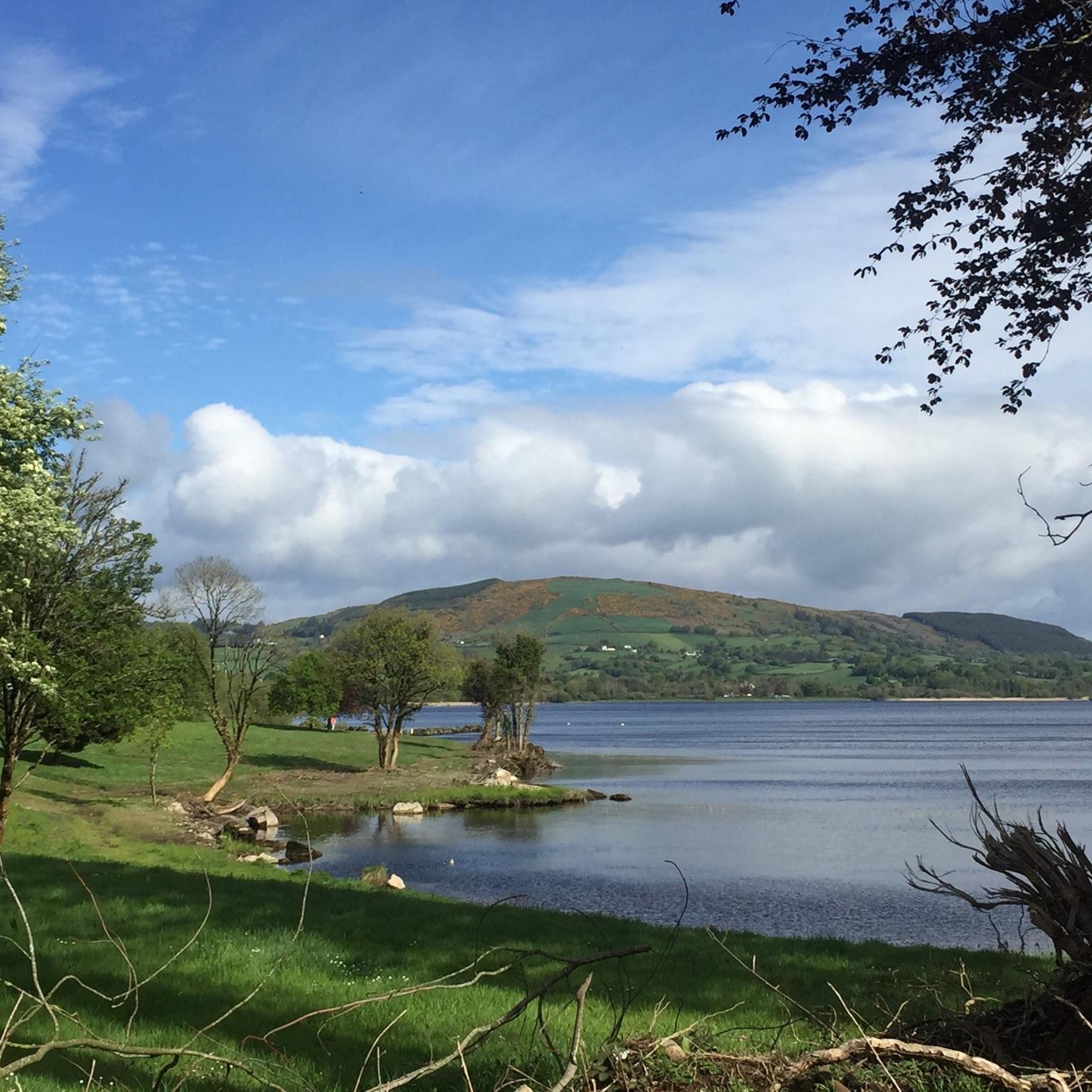
Hiking around Lough Derg
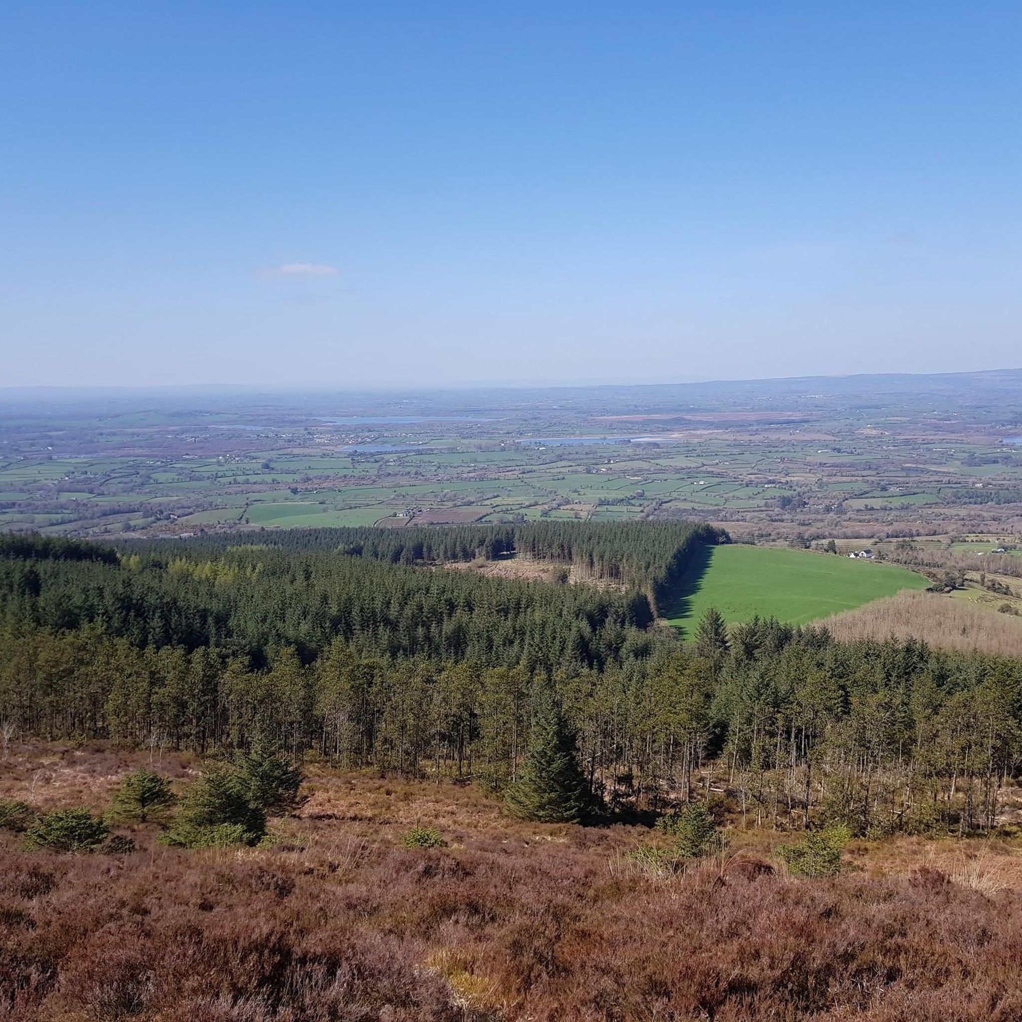
Hiking around Lough Cullaunyheeda
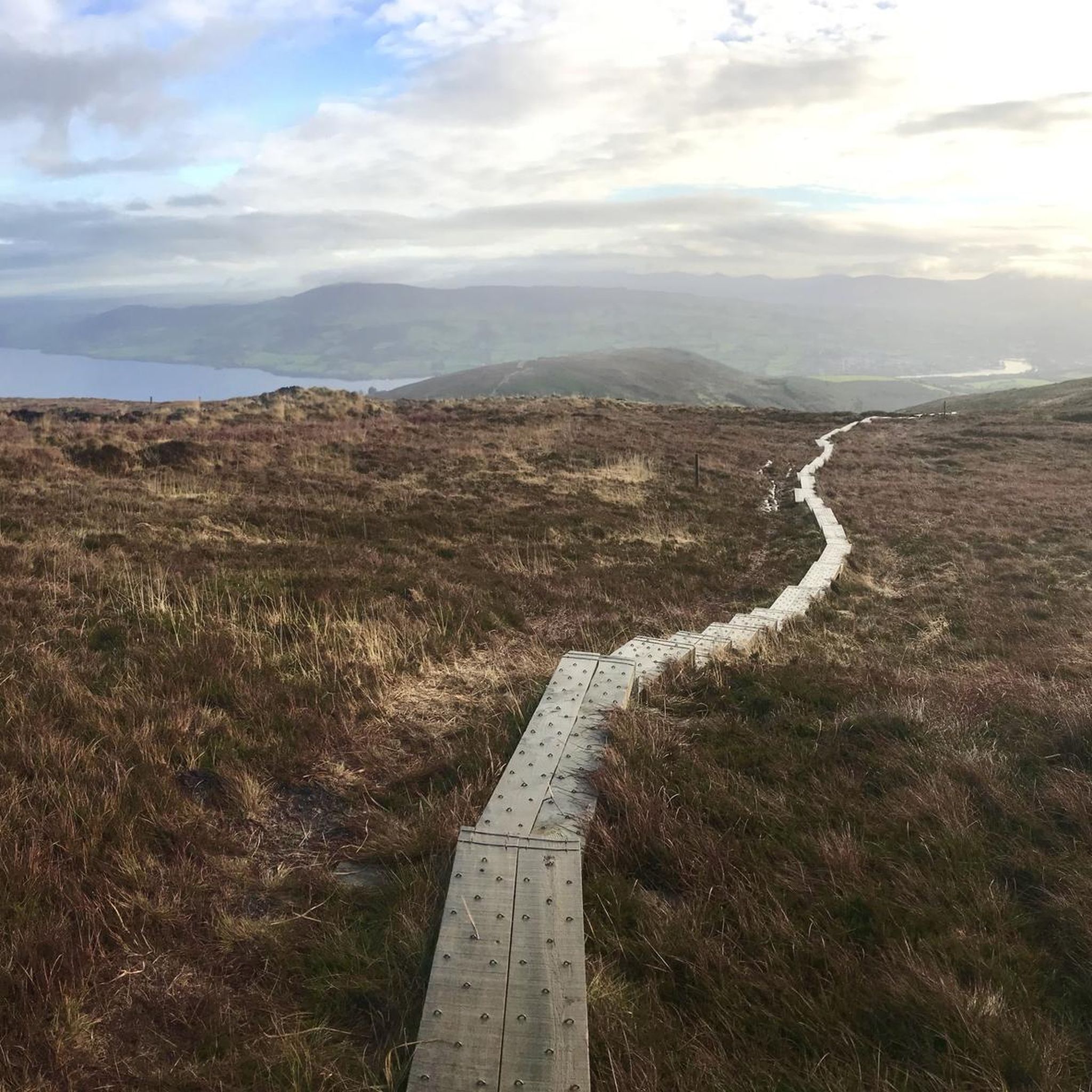
Hiking in Ballycuggaran
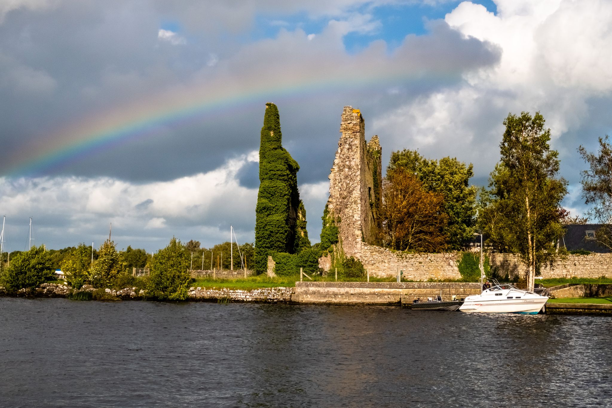
Lough Derg Way
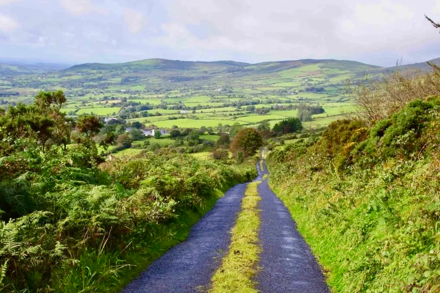
East Clare Way – exploring Ireland’s hidden heart

Follow the water - Along Ireland's rivers and lakes

Discover Ireland's past – historical walks on the Emerald Isle

Between waves and peaks — to the best views in Ireland
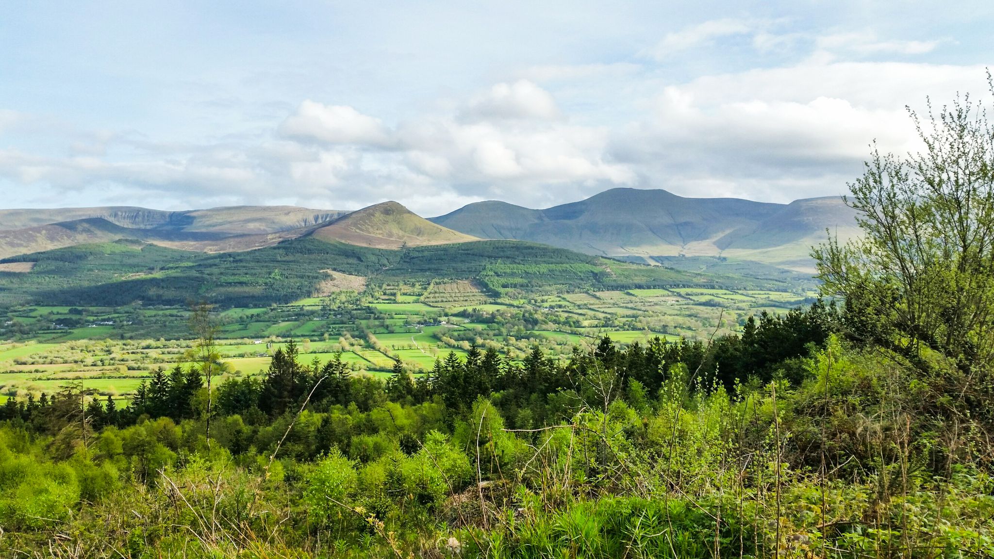
Hiking through the heart of the Emerald Isle – discover central Ireland
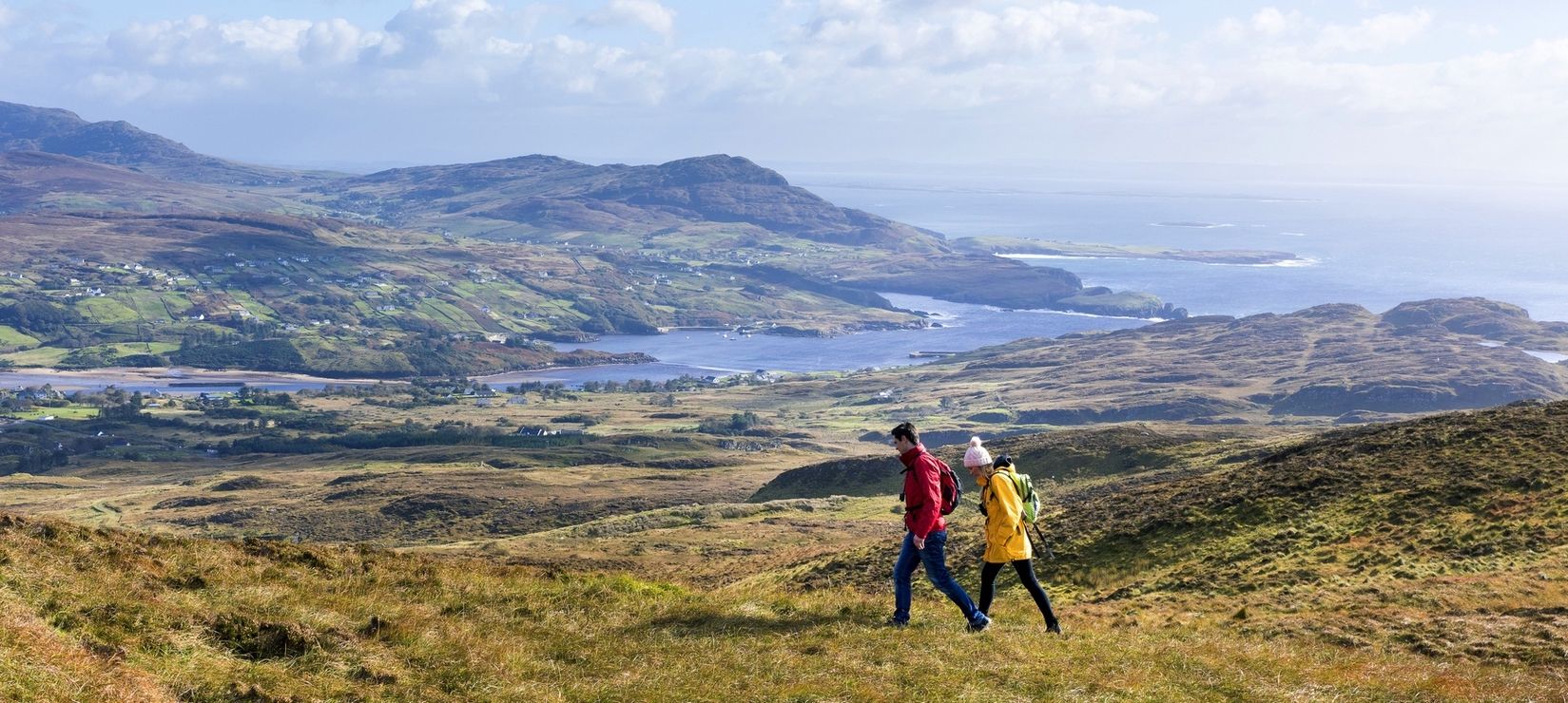
Wild Atlantic Way — day hikes for your road trip along Ireland's coastline
Other adventures around Killaloe Municipal District


Tips from the Community

A 499-metre (1,638 ft) high peak with commanding 360 degree views on a clear day. You can sometimes make out Shannon and Limerick in the far distance.
0
0
Rising to 526 metres (1,725 ft), with a prominence of 48 metres (157 ft), Cragnamurragh Peak offers commanding views of its rugged surroundings.
0
0
Narrow boardwalks that carry you over the more boggy parts of the trail.
0
0

Follow the East Clare Way’s forest gravel trail through Glendree Lower and Upper, enjoying gentle undulations, quiet plantations, and the occasional hidden river crossed via charming old stone bridges.
0
0
This point on the East Clare Way marks the beginning of the descent from Knockaunamoughilly, with a stunning track that opens gradually to wide northern views towards O’Callaghansmills.
0
0
The Country Store is a lovely spot to stop for freshly baked goods and locally sourced coffee, especially if you visit in the morning when everything is just out of the oven. It’s a great rest stop for walkers or cyclists exploring East Clare, with bright outdoor seating perfect for a break. Beyond being a café, it also serves as a local hub offering essentials.
0
0

This part of the East Clare Way features peaceful gravel forest roads lined with tall pines. You'll face a climb steadily toward the Enchanted Lake (Poualougha) and the summit of Moylussa.
0
0
Frequently Asked Questions
What kind of terrain can I expect on hikes in Killaloe Municipal District?
The Killaloe Municipal District offers a diverse range of terrains. You'll find tranquil lakeside paths along Lough Derg and the River Shannon, challenging mountain ascents to peaks like Moylussa, and peaceful trails through ancient woodlands such as Ballycuggaran Forest. The region features a mix of rugged and gentle paths, catering to various fitness levels.
Are there easy hiking trails suitable for beginners or casual walkers?
Yes, there are several easy trails perfect for beginners or those seeking a relaxed walk. For instance, the O'Briensbridge Parteen Weir Loop is an easy 4.8 km trail along riverside scenery. The Killaloe Town loop is another gentle option, allowing you to explore the charming town.
What natural features or landmarks can I see while hiking in Killaloe Municipal District?
Hikers can discover a wealth of natural beauty and landmarks. You'll encounter the expansive Lough Derg and the River Shannon, offering stunning water views. The region is home to Moylussa, County Clare's highest peak, and various forested areas. Notable highlights include the Moylussa Summit Boardwalk, the tranquil Lough Derg Shoreline, and the historic village of O'Briensbridge.
Are there any specific viewpoints worth seeking out?
Absolutely. The ascent to Moylussa offers breathtaking panoramic views of Lough Derg and the surrounding rolling hills. You can also find excellent vistas from the View of Lough Derg from Moylussa Summit and the View of Killaloe and Ballina from Canal Bank. The Millennium Cross Walk also provides expansive views of the landscape.
When is the best time of year to go hiking in Killaloe Municipal District?
The Killaloe Municipal District is enjoyable for hiking throughout much of the year. Spring and autumn offer pleasant temperatures and vibrant scenery, with fewer crowds. Summer provides longer daylight hours, ideal for longer treks. While winter can be cooler and wetter, some trails remain accessible, offering a different, often quieter, experience of the landscape.
Are there places to eat or stay near the hiking trails in Killaloe and Ballina?
Yes, the twin towns of Killaloe and Ballina, connected by a bridge over the River Shannon, offer various amenities. You'll find cafes, restaurants, and pubs where you can refuel after a hike. There are also accommodation options available in both towns, ranging from guesthouses to hotels, providing convenient bases for exploring the region.
What do other hikers enjoy the most about hiking in Killaloe Municipal District?
The area is highly rated by the komoot community, with an average score of 4.6 stars. Reviewers often praise the diverse terrain, from tranquil lakeside paths to challenging mountain ascents, and the stunning panoramic views, especially from peaks like Moylussa. The well-maintained trails through ancient woodlands and along the Lough Derg shoreline are also frequently highlighted.
Are there any circular walks available in the Killaloe Municipal District?
Yes, many trails in the region are designed as circular routes, allowing you to start and end at the same point. Examples include the popular Moylussa & Ballycuggaran loop, the 12 O'Clock Hills Purple Trail, and the O'Briensbridge Parteen Weir Loop.
How many hiking trails are there in Killaloe Municipal District?
There are over 35 hiking routes available in the Killaloe Municipal District, offering a wide range of options for different skill levels and preferences. These include easy strolls, moderate treks, and some more difficult climbs.
Are there any dog-friendly trails in the area?
Many of the trails in the Killaloe Municipal District are suitable for dogs, especially those through forest parks and along quieter country roads. However, it's always recommended to keep dogs on a leash, particularly in areas with livestock or protected wildlife, and to check specific trail regulations before you go.
Are there family-friendly walks suitable for children?
Yes, the region offers several family-friendly options. Portumna Forest Park, for example, has various loops, including some that are wheelchair-accessible, making them ideal for families with young children or strollers. Easier loops like the Killaloe Town loop are also great for a leisurely family outing.
Do I need any permits to hike in Killaloe Municipal District?
Generally, no specific permits are required for hiking on the established trails and public access lands in the Killaloe Municipal District. However, always respect private property and follow any local signage regarding access or regulations, especially in forested areas or nature reserves.
Most popular routes around Killaloe Municipal District
Most popular attractions around Killaloe Municipal District

Get inspired with the komoot mobile app


Didn’t find what you were looking for?
Check out more Hikes throughout Killaloe Municipal District below and find the perfect route in your destination.
Explore more
Browse the best Hikes in other regions.
