The best road cycling routes around Celbridge-Leixlip
4.6
(18)
521
riders
66
rides
Road cycling around Celbridge-Leixlip, located in County Kildare, features a landscape characterized by the tranquil River Liffey corridor and extensive canal systems, including the Royal Canal and Grand Canal. The region offers predominantly paved surfaces suitable for road cycling, with routes often passing through areas with grand estates and historical landmarks. The terrain generally includes flat canal-side paths and rolling country roads, providing varied cycling experiences.
Best road cycling routes in Celbridge-Leixlip
- The most popular road cycling route is McEvoy's…
Last updated: October 11, 2026
37
riders
Moderate road ride. Good fitness required. Mostly well-paved surfaces and easy to ride.
5.0
(2)
15
riders
50.7km
02:11
210m
210m
Moderate road ride. Good fitness required. Some segments of this route may be unpaved and difficult to ride.

5.0
(1)
23
riders
90.3km
04:20
1,120m
1,120m
Hard road ride. Very good fitness required. Mostly well-paved surfaces and easy to ride.
5.0
(1)
18
riders
Easy road ride. Great for any fitness level. Mostly well-paved surfaces and easy to ride.
5.0
(1)
14
riders
51.6km
02:12
170m
170m
Moderate road ride. Good fitness required. Mostly well-paved surfaces and easy to ride.
18
riders
25.6km
01:04
40m
40m
Easy road ride. Great for any fitness level. Mostly well-paved surfaces and easy to ride.
5.0
(1)
18
riders
Easy road ride. Great for any fitness level. Mostly well-paved surfaces and easy to ride.
4.0
(2)
12
riders
29.5km
01:28
100m
100m
Moderate road ride. Great for any fitness level. Some segments of this route may be unpaved and difficult to ride.
12
riders
Moderate road ride. Good fitness required. Mostly well-paved surfaces and easy to ride.
10
riders
Easy road ride. Great for any fitness level. Mostly well-paved surfaces and easy to ride.
Get access to more routes and recommendations from other explorers.
Already have an account?
Our route recommendations are based on thousands of hikes, rides, and runs completed by other people on komoot.
Start today with a free account
Your next adventure awaits.

Tips from the Community

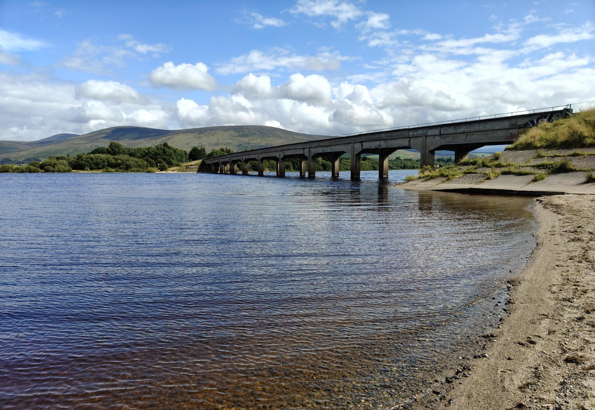
Sally Gap, one of the highest and most open crossroads in the Wicklow Mountains. Here, the R759 and the Old Military Road (R115) intersect at over 500 meters altitude, in the middle of a vast moorland and heath landscape without buildings or shelter. The panorama is a full 360°: the dark bogs of Liffey Head Bog, the flanks of Kippure, the valleys towards Glencree, and the long, empty Military Road that runs like a pencil line through the highlands. This location is world-famous as a backdrop for films and series such as Braveheart, Vikings, and P.S. I Love You.
8
0
You are here on one of the most characteristic sections of the Old Military Road, built between 1800 and 1809 by the British Army to control the Wicklow Mountains after the 1798 Rebellion. This section of the L1013 runs across an open high plateau with wide, rugged views towards Glencree, Kippure and the northern Wicklow Mountains.
7
0
For the cyclist, this is the main attraction. The café is located in the old armoury and is known for its hearty soups, homemade cakes, and good coffee. You could almost call it a cycling café.
7
0
In the heart of the rugged Wicklow Mountains lies the Deutscher Soldatenfriedhof, a place of deep peace and reflection. Here rest 134 people, mainly German military personnel (mostly pilots and naval staff) who died in or near Ireland during the First and Second World Wars, as well as a number of civilian internees. The symmetrical rows of crosses, the low granite, and the open grassy expanse create a subdued atmosphere that strongly contrasts with the rugged Wicklow landscape surrounding it.
7
0

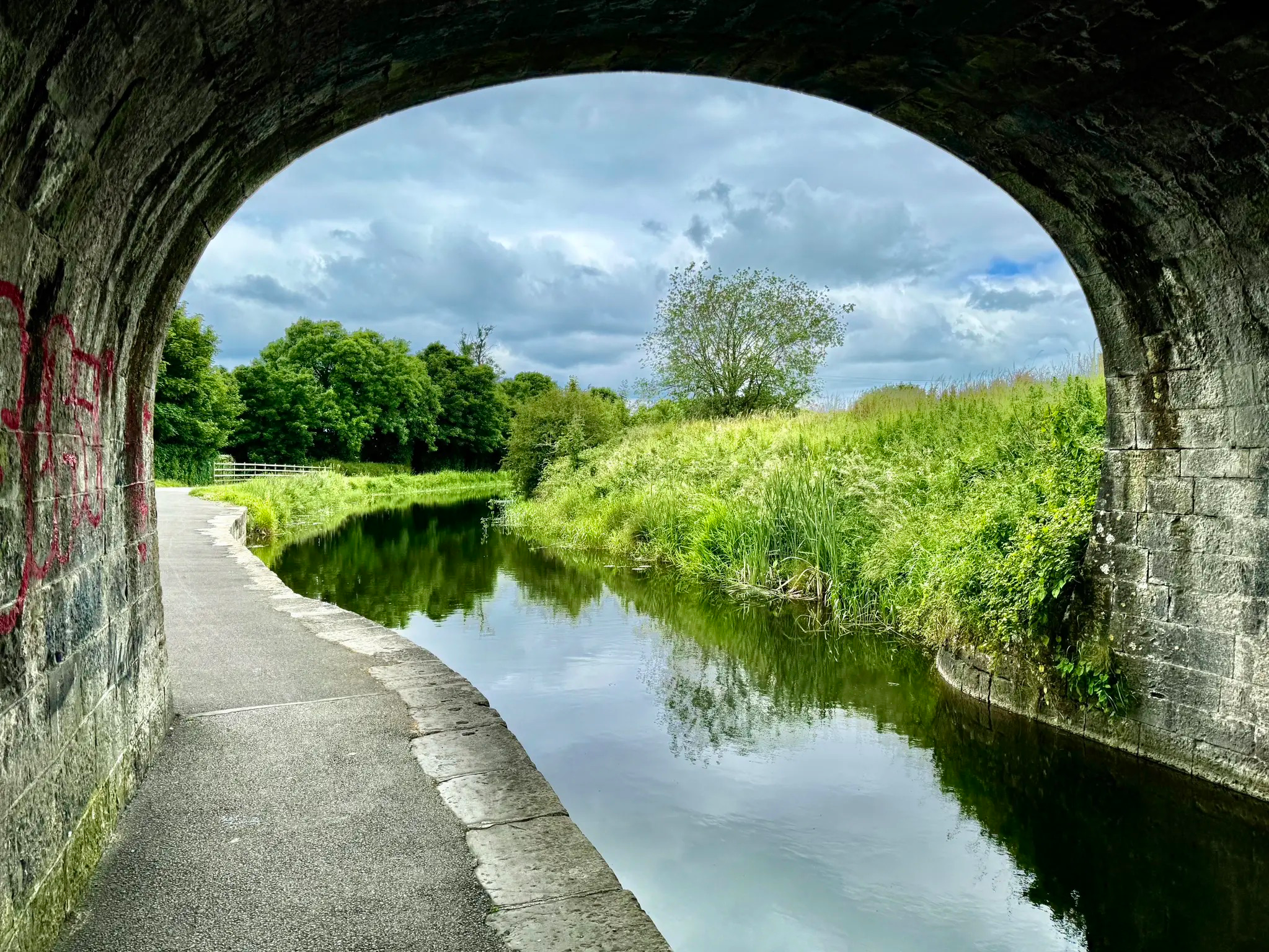
Formerly an important shipping stop-off before Dublin, Maynooth Harbour is now used mostly for leisure purposes. Known locally as Dukes Harbour, it lies close to the bustling university town of Maynooth.
0
0


Victoria Bridge in Celbridge was built in 1837, replacing an earlier structure that had been damaged by floods. It’s a five-arch limestone bridge that has carried traffic across the River Liffey for nearly two centuries. Today it remains the main crossing in the town and a local landmark marking the start of many cycling routes.
0
0
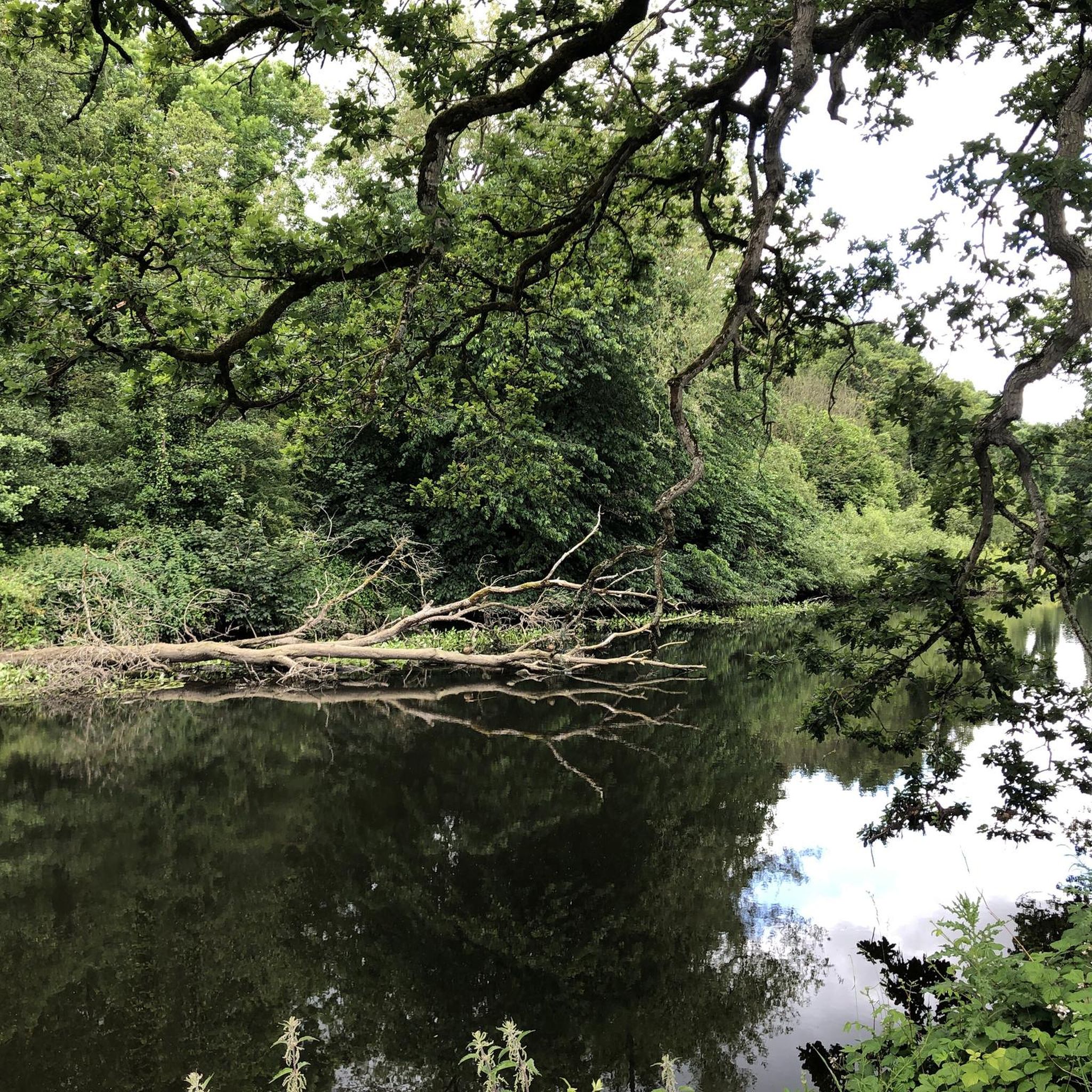
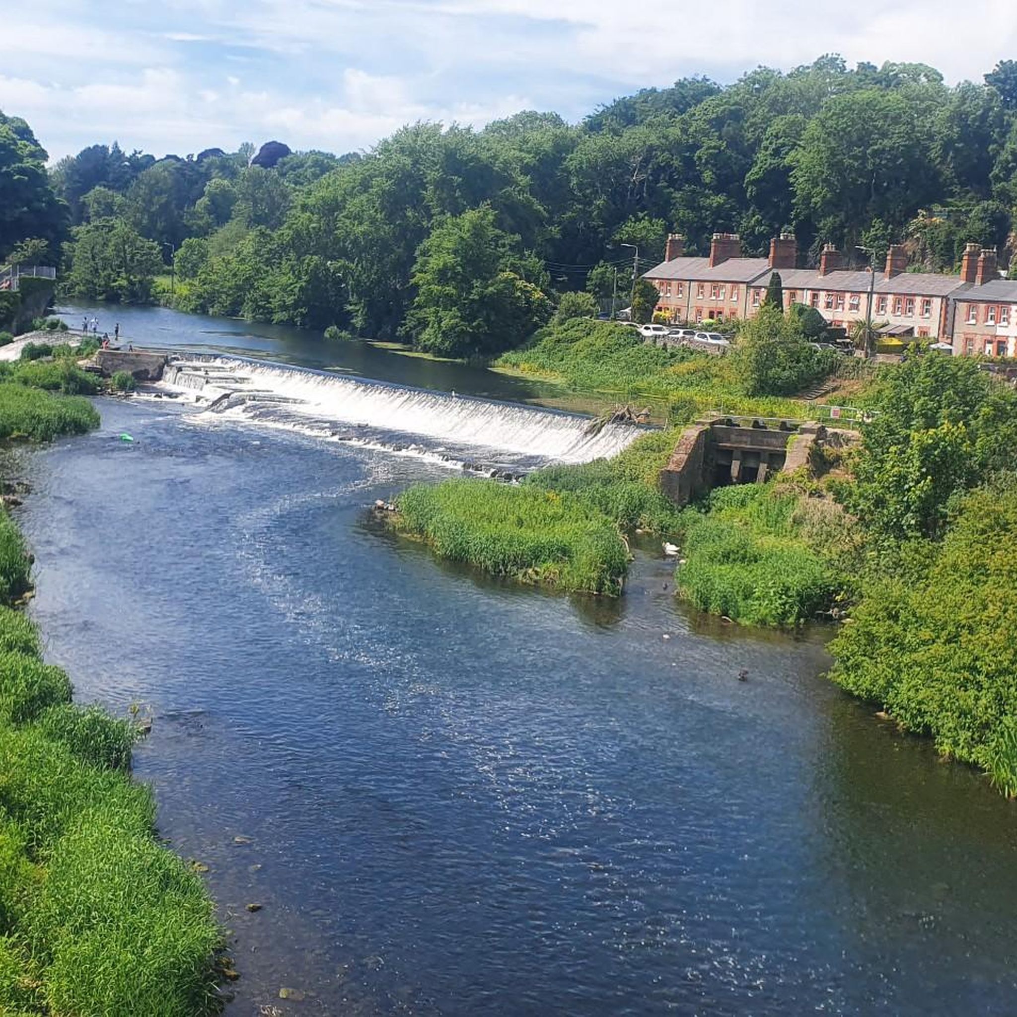
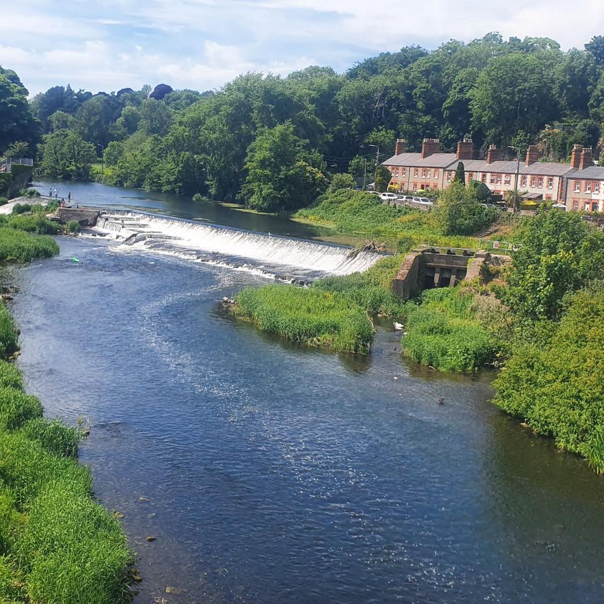
The current Straffan Bridge was built in 1836 to replace an older crossing, and the adjacent weir is part of the Leinster Aqueduct system, which carries the Grand Canal over the River Liffey just upstream. This makes the area unusual – you can stand within a short walk of both a river spanned by a road bridge and a canal carried high over the same river.
0
0
Frequently Asked Questions
What kind of terrain can I expect on road cycling routes in Celbridge-Leixlip?
The Celbridge-Leixlip region offers predominantly paved surfaces, ideal for road cycling. You'll find a mix of flat canal-side paths along the Royal Canal and Grand Canal, as well as rolling country roads that pass through grand estates and historical landmarks. This variety provides diverse cycling experiences for different preferences.
How many road cycling routes are available in the Celbridge-Leixlip area?
There are over 75 road cycling routes available around Celbridge-Leixlip, catering to various skill levels. This includes 30 easy routes, 41 moderate routes, and 6 more challenging options, ensuring there's something for every road cyclist.
Are there any easy or family-friendly road cycling routes in Celbridge-Leixlip?
Yes, Celbridge-Leixlip offers several easy routes suitable for beginners or family outings. A great option is the Ryewater Aqueduct – Pike's Bridge loop from Leixlip Louisa Bridge, an easy 26.2 km path that follows the Royal Canal, providing a flat and scenic ride. Another easy choice is the View of the Irish Countryside loop from Leixlip Louisa Bridge, offering pleasant views over 28 km.
Are there challenging long-distance road cycling routes in the region?
Absolutely. For experienced cyclists seeking a challenge, routes like the Military Road (L1013) – Sally Gap loop from Leixlip Louisa Bridge offer a demanding ride. This difficult 90.4 km trail leads through the Wicklow Mountains with significant elevation gain. Another longer, moderate option is the Blessington Lake – Poulaphouca Reservoir Loop from Leixlip Louisa Bridge, covering over 93 km.
What historical sites and landmarks can I see along the road cycling routes?
The region is rich in history and offers many sights. You can cycle past grand estates like Castletown House and Demesne, Ireland's largest Palladian-style mansion. Other notable historical points include the Leixlip Mural Cottage, a restored 300-year-old toll collector's house, and the Canal Cottage (The Toll Collector's House) on the Royal Canal. The area also features the historic Canal Lock on the Royal Canal.
Where can I find parking for road cycling routes in Celbridge-Leixlip?
Parking is generally available near popular starting points for routes, especially along the canal greenways and near major attractions. For example, areas around Leixlip Louisa Bridge often serve as convenient starting points with parking options. For specific routes, it's advisable to check local signage or online maps for designated parking facilities.
Are there any circular road cycling routes in the area?
Yes, many of the road cycling routes in Celbridge-Leixlip are designed as loops, allowing you to start and finish at the same point. Examples include the View of Lyons Hill – Country Road Between Fields loop from Leixlip Louisa Bridge, an easy 37 km ride, and the moderate Victoria Bridge – Donadea Castle loop from Hazelhatch and Celbridge, which covers 52.5 km.
What do other road cyclists enjoy most about cycling in Celbridge-Leixlip?
The area is highly rated by the komoot community, with an average score of 4.8 stars. Cyclists often praise the varied terrain, from flat canal paths to rolling country roads, and the scenic beauty that combines natural landscapes with historical landmarks like grand estates and charming villages. The well-maintained paved surfaces are also frequently highlighted.
Can I access road cycling routes in Celbridge-Leixlip using public transport?
Yes, several routes are accessible via public transport. Leixlip Louisa Bridge is a common starting point for many routes and is served by public transport. The Royal Canal Greenway and Grand Canal Way also have access points near towns with public transport links, making it convenient to reach the cycling paths without a car.
Are there places to stop for food or drink along the road cycling routes?
Yes, the region offers various options for refreshments. Towns like Celbridge and Leixlip have pubs and cafes. Along the Royal Canal Greenway, you might find places like the Canal Cottage, which serves as a rest stop with picnic benches, and Kilcock Harbour, which has nearby cafes. Routes passing through villages often provide opportunities for a break.
What is the best time of year for road cycling in Celbridge-Leixlip?
Spring and summer (April to September) generally offer the most favorable conditions for road cycling in Celbridge-Leixlip, with milder temperatures and longer daylight hours. However, the region's paved routes are accessible year-round, though autumn and winter rides may require appropriate gear for cooler, potentially wetter weather.
Are there any routes that pass through charming villages or offer unique views?
Certainly. The Straffan Weir – Charming village loop from Hazelhatch and Celbridge is an easy 29.7 km route that takes you through picturesque settings. Another route, the McEvoy's Pub – Straffan Bridge and Weir loop from Leixlip Louisa Bridge, offers scenic views and passes by notable points of interest.
Most popular routes around Celbridge-Leixlip
Most popular attractions around Celbridge-Leixlip

Get inspired with the komoot mobile app


Explore more
Browse the best Road cycling routes in other regions.
