The best MTB trails around The Municipal District of Naas
4.5
(2)
24
riders
8
rides
Mountain biking around The Municipal District of Naas offers access to diverse terrain and significant trail networks, primarily due to its proximity to the Wicklow Mountains National Park. The region features varied landscapes, including woodlands, hills, and areas with natural elements like roots and rocks. Riders can expect trails with dynamic elevation changes, catering to different skill levels.
Best mountain bike trails around The Municipal District of Naas
- The most popular mountain bike trail is Black Hill loop from Blessington, a 18.4 miles (29.6 km) trail that takes 2 hours 43 minutes to complete. This difficult route features significant elevation gain through varied terrain.
- Another top favourite among local mountain bikers is Slade Valley trails from Sallins and Naas, a moderate 25.1 miles (40.4 km) path. This route provides access to the Slade Valley trail system, known for its diverse surfaces.
- Local mountain bikers also love the Saggart Hill peak – Saggart Woods loop from South Dublin, a 21.2 miles (34.1 km) trail leading through Saggart Woods, often completed in about 2 hours 30 minutes.
- Mountain biking around The Municipal District of Naas is defined by access to the Wicklow Mountains, varied terrain in areas like Slade Valley and Saggart Woods, and trails featuring roots, rocks, and elevation changes. The network offers options for different ability levels, from moderate to difficult.
- The routes in The Municipal District of Naas are highly rated by the komoot community with an average score of 4.5 stars from 2 reviews. More than 26 mountain bikers have used komoot to explore The Municipal District of Naas's varied terrain.
Last updated: July 1, 2026
4.0
(1)
4
riders
29.6km
02:43
720m
720m
Hard mountain bike ride. Good fitness required. Advanced riding skills necessary. Some portions of the route may require you to push your bike.
47.9km
04:54
1,150m
1,150m
Hard mountain bike ride. Very good fitness required. Advanced riding skills necessary. Some portions of the route may require you to push your bike.

Sign up for free
1
riders
40.4km
02:42
490m
490m
Moderate mountain bike ride. Good fitness required. Advanced riding skills necessary.
74.1km
07:23
1,710m
1,710m
Hard mountain bike ride. Very good fitness required. Advanced riding skills necessary. Some portions of the route may require you to push your bike.
61.7km
04:43
1,130m
1,130m
Hard mountain bike ride. Very good fitness required. Suitable for all skill levels.
2
riders
44.6km
02:44
100m
100m
Moderate mountain bike ride. Good fitness required. Suitable for all skill levels.
2
riders
34.1km
02:30
520m
520m
Moderate mountain bike ride. Good fitness required. Suitable for all skill levels.
Our route recommendations are based on thousands of hikes, rides, and runs completed by other people on komoot.
Start today with a free account
Your next adventure awaits.
Login or Signup
Popular around The Municipal District of Naas

Follow the water - Along Ireland's rivers and lakes

Ireland's blue rivers and lakes – walks along the water
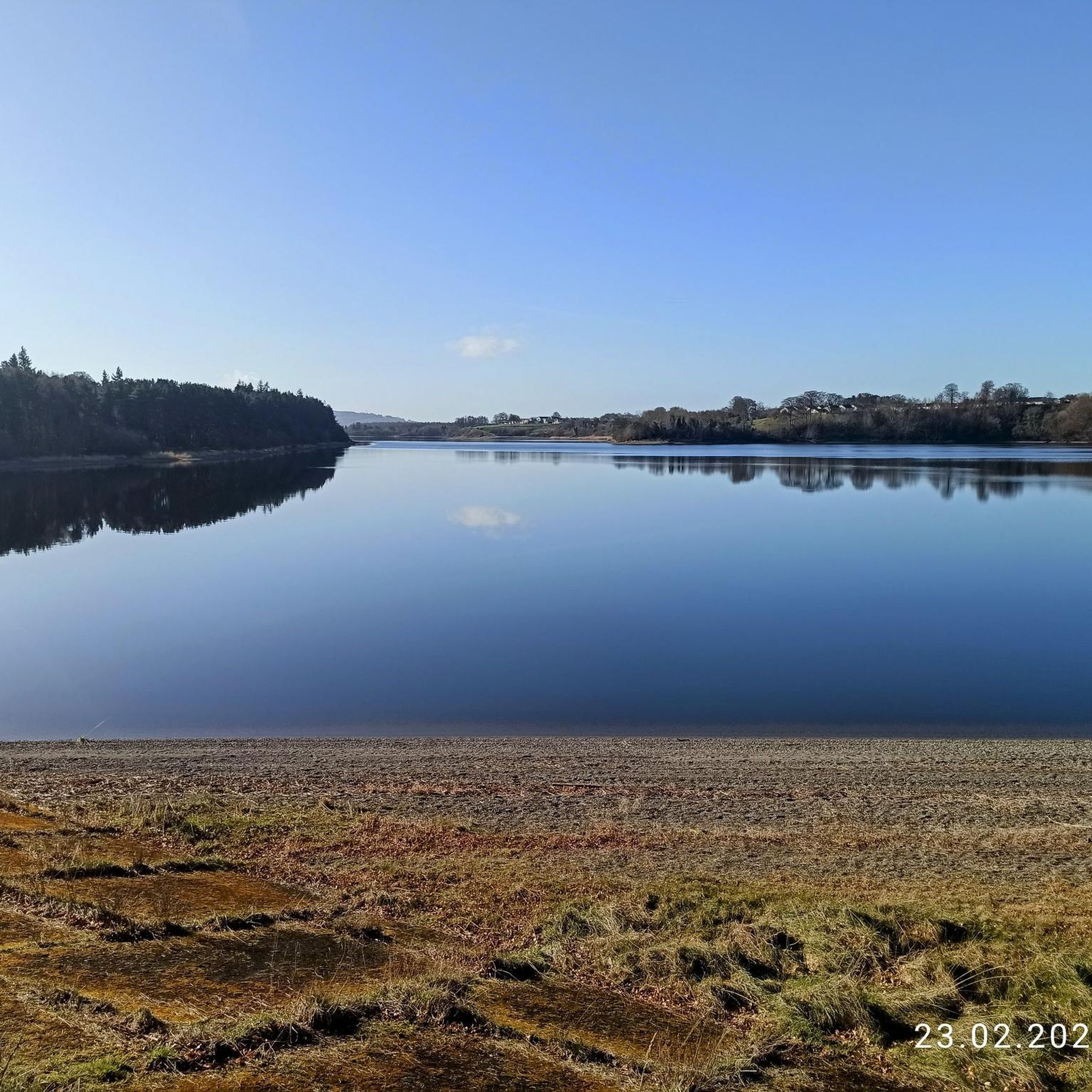
Hiking around The Municipal District of Naas
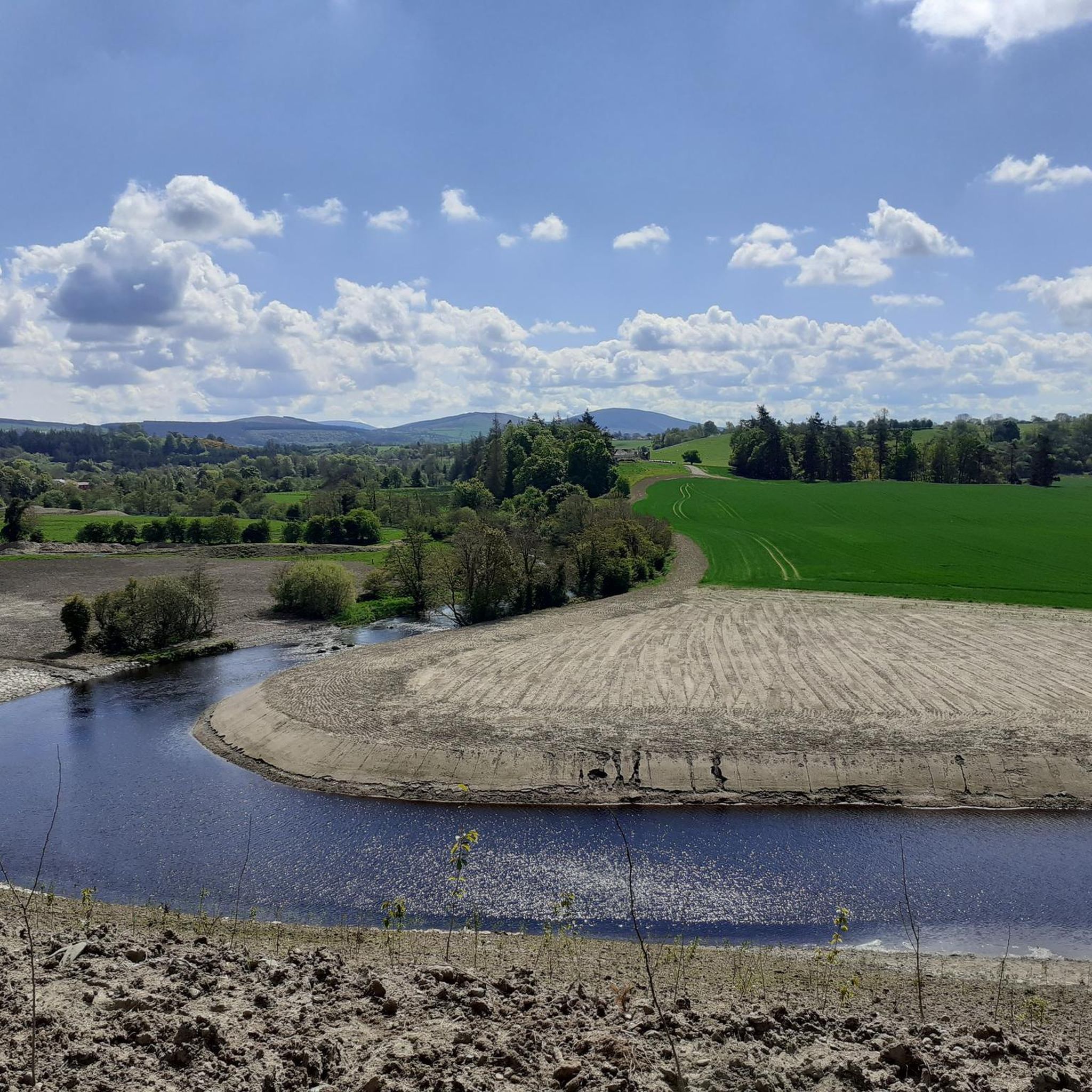
Running Trails around The Municipal District of Naas
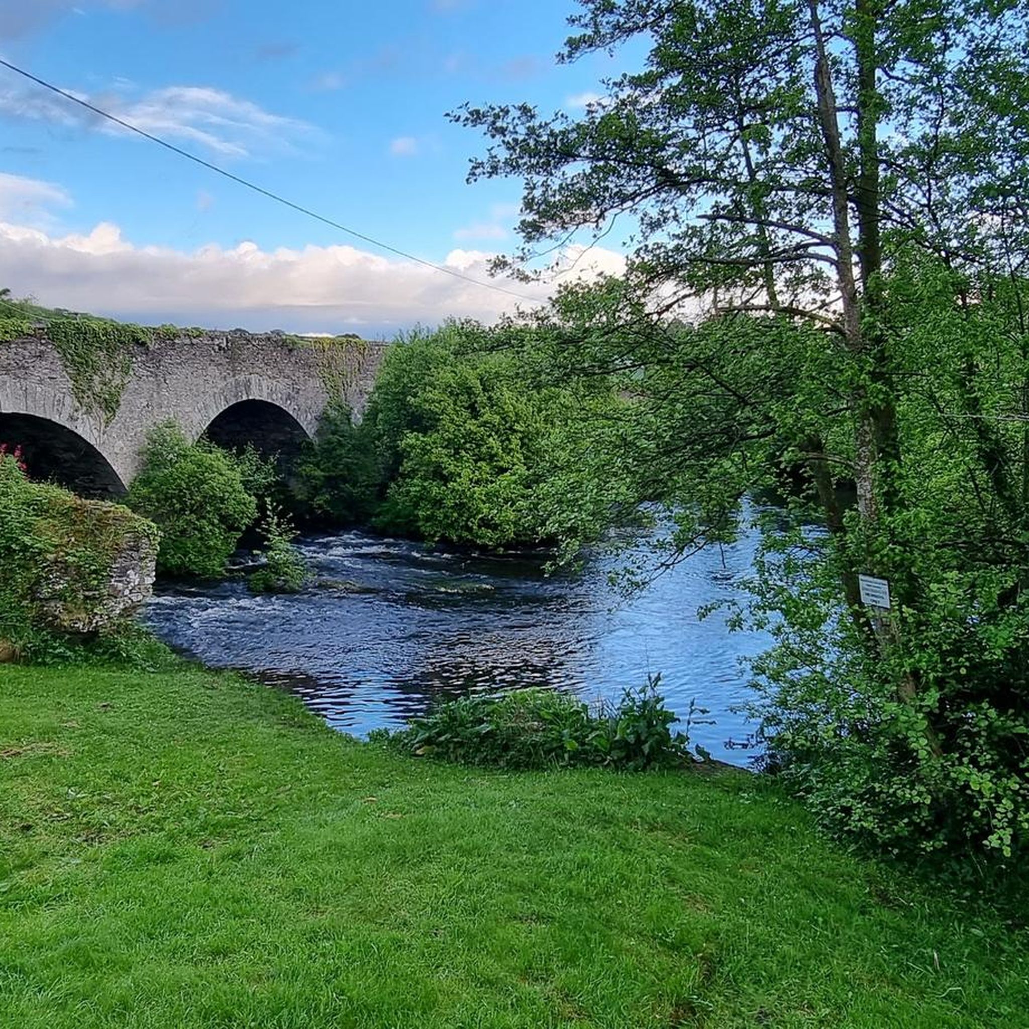
Road Cycling Routes around The Municipal District of Naas
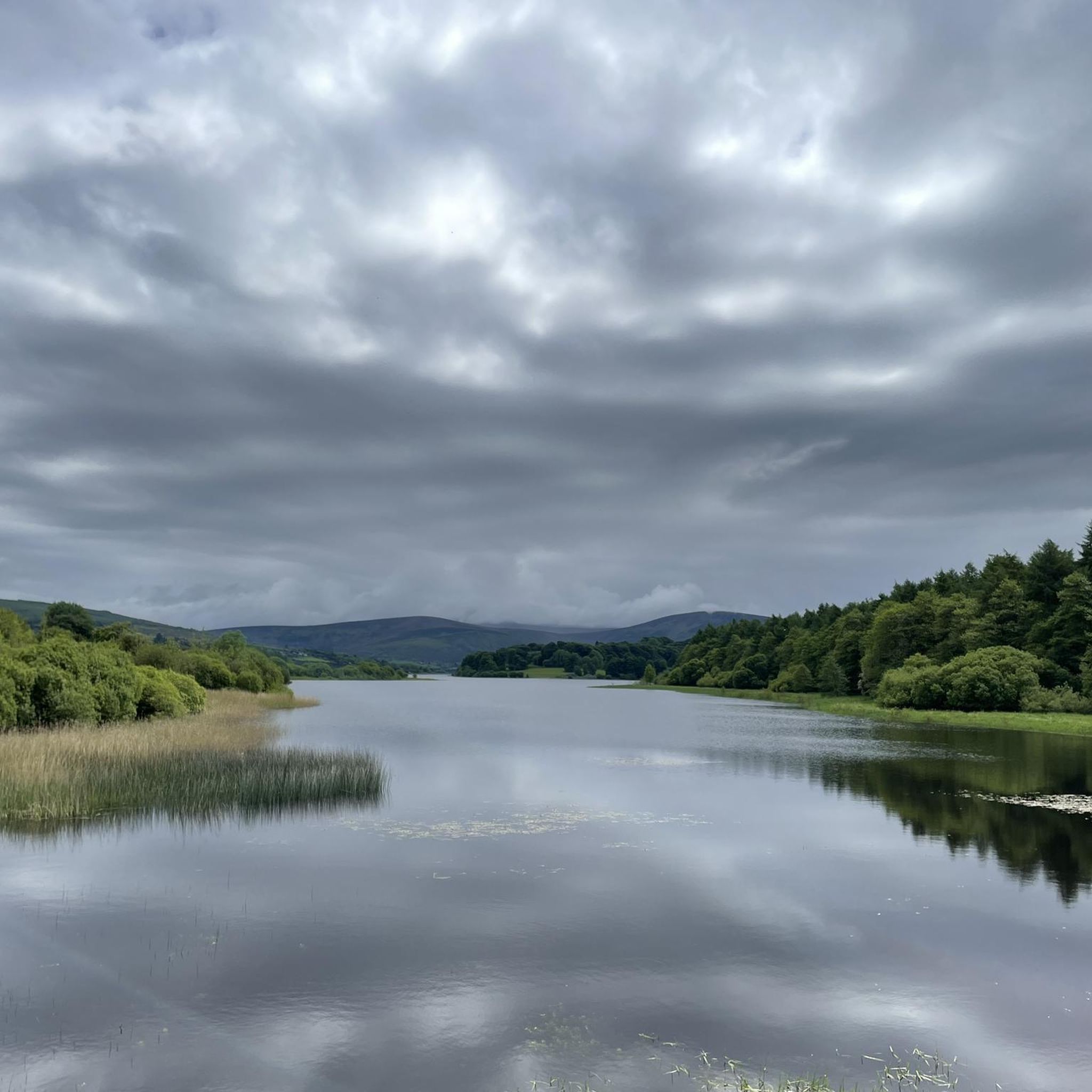
Cycling around The Municipal District of Naas
Gravel biking around The Municipal District of Naas
Other adventures around The Municipal District of Naas


Tips from the Community

The Grand Canal is one of two major canals that connect Dublin with the River Shannon, along with the Royal Canal. At Milltown Bridge, its former glory can be appreciated in the form of a ruined mill building and the namesake 200-year-old single arch footbridge.
0
0
Ancient mills and a darkly named public house give this stretch of the Grand Canal a certain atmosphere. The Hanged Man's Pub & Restaurant is permanently closed at the time of writing (June 2026), though its not far to The Inn @ Milltown for those in need of refreshment.
0
0

The Leinster Aqueduct is an impressive 18th-century structure that carries the Grand Canal over the River Liffey. Itwas designed to maintain a perfectly level water flow along the Grand Canal, which was crucial for slow-moving canal boats that couldn’t handle strong currents or steep changes in height.
0
0
On this stretch, you follow a quiet, peaceful path right alongside the canal, making it ideal if you’re looking to slow down and enjoy nature. It’s a great spot to take in the stillness, listen to the water, and enjoy a relaxed walk at your own pace. You won't encounter many people here.
0
0

Lowtown (Lock 19 on the Grand Canal) marks the official start point of the Barrow Way. It lies at the western end of the summit level of the Grand Canal - meaning it's near the highest point of the canal route before descending towards Shannon.
1
0

Kiltipper Park is a nice area of managed trails and grassland in the foothills of the Dublin Mountains. While walking here, you can enjoy beautiful views of the city to the east or the mountains to the west.
0
0
A small parking area at the northern edge of Kiltipper Park. Useful access to the trails and the Parkrun.
0
0
The trails down the western edge of Kiltipper Park overlook the golf course and open countryside.
0
0
Frequently Asked Questions
What kind of terrain can I expect on mountain bike trails near The Municipal District of Naas?
The mountain bike trails near Naas, particularly those accessing the Wicklow Mountains National Park like Slade Valley and Saggart Woods, offer diverse terrain. You'll encounter varied surfaces including rooty cambers, high gullies, rocks, and natural features like berms, jumps, and drops. The routes often feature woodlands and dynamic elevation changes, catering to a range of skill levels.
Are there mountain bike trails suitable for beginners or less experienced riders near Naas?
While many trails in the region are moderate to difficult, the Slade Valley trail system, accessible via routes like Slade Valley trails from Sallins and Naas, offers a progression of challenges. It includes popular blue singletracks which are generally more accessible for those with some mountain biking experience, though it also has more technical red and black sections.
What are the typical lengths and durations of mountain bike routes around Naas?
The mountain bike routes around Naas vary significantly in length and duration. For example, a moderate route like Slade Valley trails from Sallins and Naas is about 25.1 miles (40.4 km) and takes around 2 hours 40 minutes. More challenging routes, such as Ballymore Eustace to Brockagh Mountain loop, can be up to 46 miles (74.1 km) and take over 7 hours to complete.
Are there any family-friendly mountain biking options near The Municipal District of Naas?
For family-friendly outdoor activities, while specific beginner mountain bike trails for very young children might be limited, the Grand Canal towpath near Naas offers a gentler, scenic option for bike rides. For mountain biking with older children or those with some experience, look for the easier sections within the Slade Valley trail system.
Can I bring my dog on the mountain bike trails near Naas?
Policies regarding dogs on mountain bike trails can vary, especially within protected areas like the Wicklow Mountains National Park. It's always best to check specific regulations for the trail system you plan to visit, such as Slade Valley, to ensure dogs are permitted and if they need to be on a leash.
What natural features or landmarks can I see along the mountain bike trails?
Many mountain bike trails near Naas offer scenic views and natural beauty, particularly those within the Wicklow Mountains. You might encounter features like woodlands, varied elevation, and views of the surrounding landscapes. Notable nearby attractions include the Ballymore Bridge over the River Liffey, and the historic Naas Lock No. 4 on the Grand Canal.
Are there circular mountain bike routes available?
Yes, many mountain bike routes near Naas are designed as loops. Examples include the challenging Black Hill loop from Blessington and the moderate Saggart Hill peak – Saggart Woods loop from South Dublin, which takes you through Saggart Woods.
Where can I find parking for mountain biking near Naas?
Parking availability varies by trail system. For trails accessing Slade Valley, you would typically look for parking near entry points in areas like Sallins or Blessington. For routes like the Saggart Hill peak – Saggart Woods loop, parking would be available near the Saggart Woods area, often with designated car parks for trail users.
Is public transport an option to reach mountain bike trails from Naas?
Public transport options from Naas to specific mountain bike trailheads can be limited. While Naas itself is connected, reaching the more remote trail systems like Slade Valley often requires a combination of public transport to nearby towns (e.g., Blessington or Sallins) followed by a shorter cycle or taxi. Planning your journey in advance is recommended.
What is the best time of year to go mountain biking in The Municipal District of Naas?
Mountain biking in the Naas area, particularly in the Wicklow Mountains, is enjoyable for much of the year. Spring and autumn offer pleasant temperatures and vibrant scenery. Summer provides longer daylight hours, while winter can bring more challenging conditions with potentially wet and muddy trails. Always check local weather conditions before heading out.
Are there any cafes or pubs near the mountain bike trails for refreshments?
While the trailheads themselves might not have immediate facilities, towns and villages surrounding the mountain biking areas, such as Naas, Sallins, and Blessington, offer a selection of cafes, pubs, and restaurants where you can refuel after your ride. It's a good idea to plan your route to pass through or end near one of these settlements.
What do other mountain bikers enjoy most about the trails near Naas?
The mountain biking experience near The Municipal District of Naas is highly rated by the komoot community, with an average score of 4.5 stars. Riders often praise the diverse terrain, the challenging elevation changes, and the natural beauty of the Wicklow Mountains, which provide a true escape into nature.
Most popular routes around The Municipal District of Naas
Most popular attractions around The Municipal District of Naas

Get inspired with the komoot mobile app


Explore more
Browse the best MTB trails in other regions.
