The best walks and hikes around Ballinamore
4.6
(43)
326
hikers
19
hikes
Hiking around Ballinamore, County Leitrim, offers diverse landscapes characterized by an abundance of lakes, waterways, and rolling hills. The region is situated on the Shannon-Erne Waterway, providing scenic trails alongside tranquil waters. Notable features include Sliabh an Iarainn, a mountain ascending 585 meters, and numerous freshwater lakes within a 10 km radius. The area provides a network of trails ranging from easy waterside paths to more challenging mountain ascents.
Best hiking trails around Ballinamore
- The most popular hiking route is…
Last updated: July 2, 2026
4.7
(3)
23
hikers
12.0km
03:03
40m
40m
Moderate hike. Good fitness required. Easily-accessible paths. Suitable for all skill levels.
5.0
(1)
5
hikers
4.09km
01:25
240m
240m
Easy hike. Great for any fitness level. Easily-accessible paths. Suitable for all skill levels.

Sign up for free
5.0
(1)
7
hikers
7.52km
02:05
140m
140m
Moderate hike. Good fitness required. Easily-accessible paths. Suitable for all skill levels.
5.0
(1)
6
hikers
9.66km
02:39
150m
160m
Moderate hike. Good fitness required. Easily-accessible paths. Suitable for all skill levels.
5.0
(2)
3
hikers
Moderate hike. Good fitness required. Easily-accessible paths. Suitable for all skill levels.
3.0
(1)
1
hikers
4.74km
01:14
40m
40m
Easy hike. Great for any fitness level. Easily-accessible paths. Suitable for all skill levels.
2.86km
00:44
10m
20m
Easy hike. Great for any fitness level. Easily-accessible paths. Suitable for all skill levels.
5.0
(3)
10
hikers
5.90km
01:33
50m
50m
Easy hike. Great for any fitness level. Easily-accessible paths. Suitable for all skill levels.
5.0
(1)
4
hikers
8.03km
02:04
40m
40m
Moderate hike. Good fitness required. Easily-accessible paths. Suitable for all skill levels.
4.0
(1)
3
hikers
12.6km
03:17
90m
90m
Moderate hike. Good fitness required. Easily-accessible paths. Suitable for all skill levels.
Get access to more routes and recommendations from other explorers.
Sign up for free
Already have an account?
Our route recommendations are based on thousands of hikes, rides, and runs completed by other people on komoot.
Start today with a free account
Your next adventure awaits.
Login or Signup
Popular around Ballinamore

Follow the water - Along Ireland's rivers and lakes

Discover Ireland's past – historical walks on the Emerald Isle
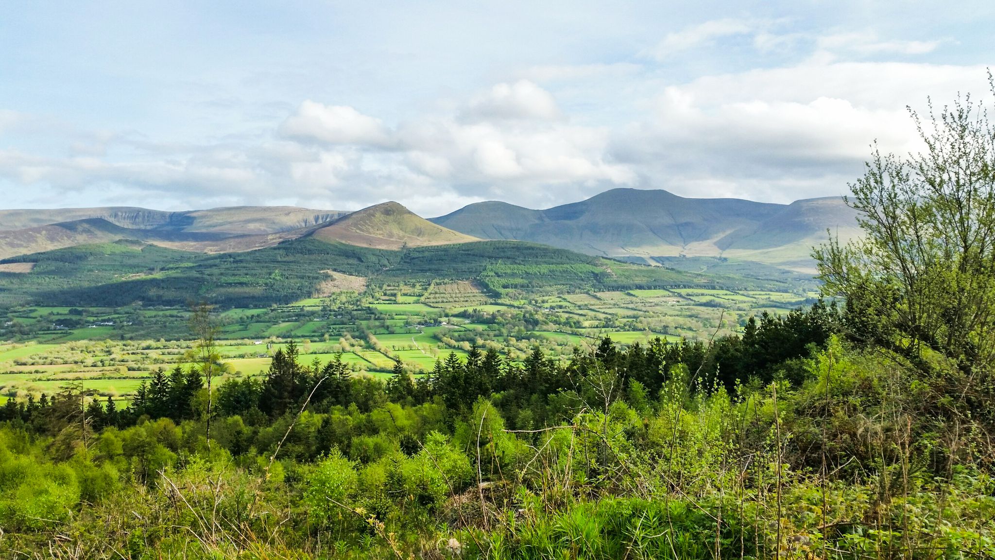
Hiking through the heart of the Emerald Isle – discover central Ireland
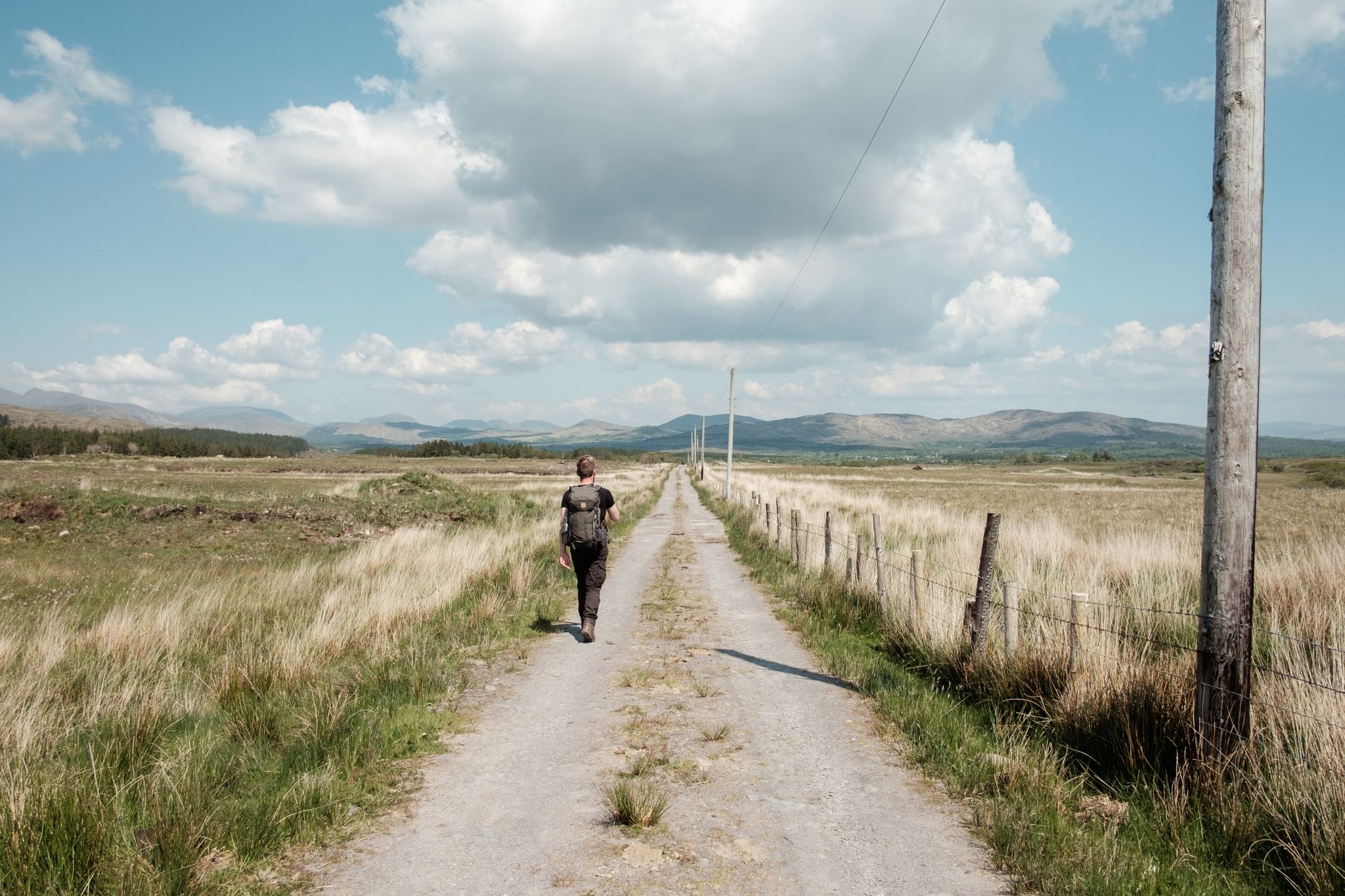
Irish wanderlust — 8 long-distance hiking trails on the Emerald Isle
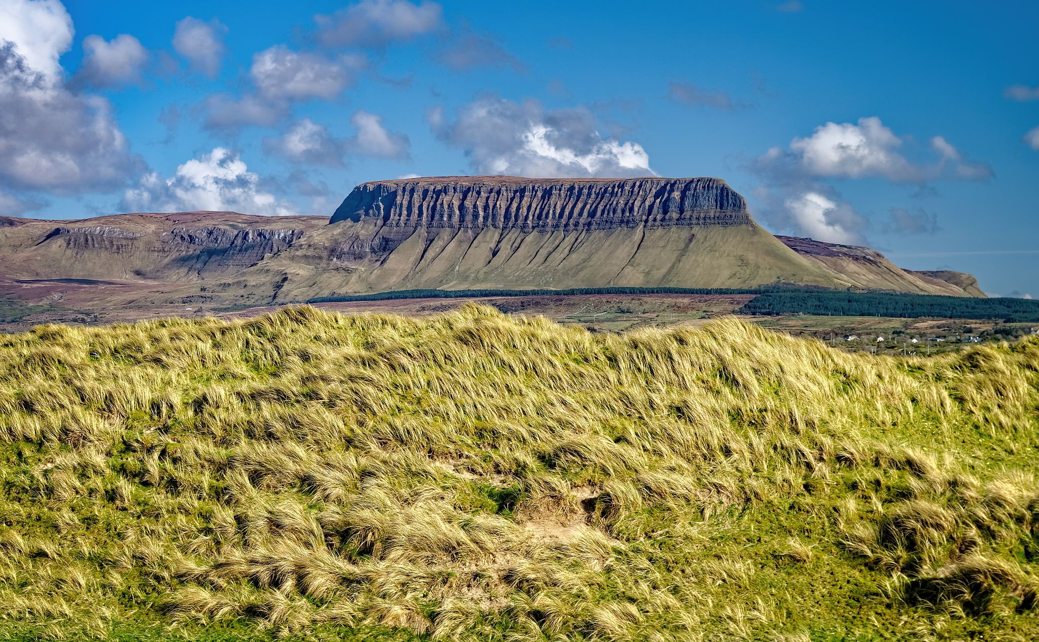
Walking through the heart of the Emerald Isle in Central Ireland
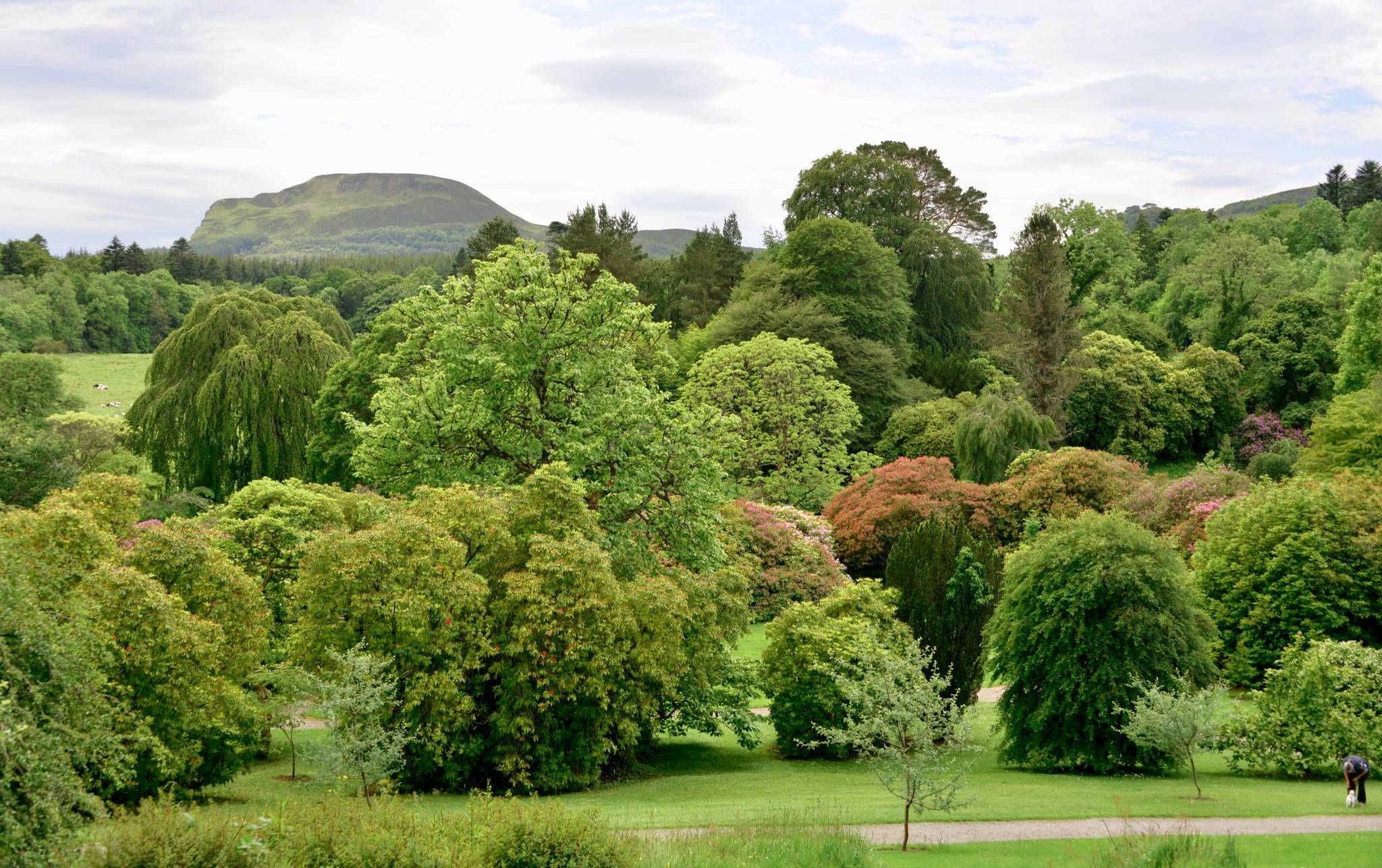
Kingfisher Trail – Explore Ireland's diverse history and nature by bike
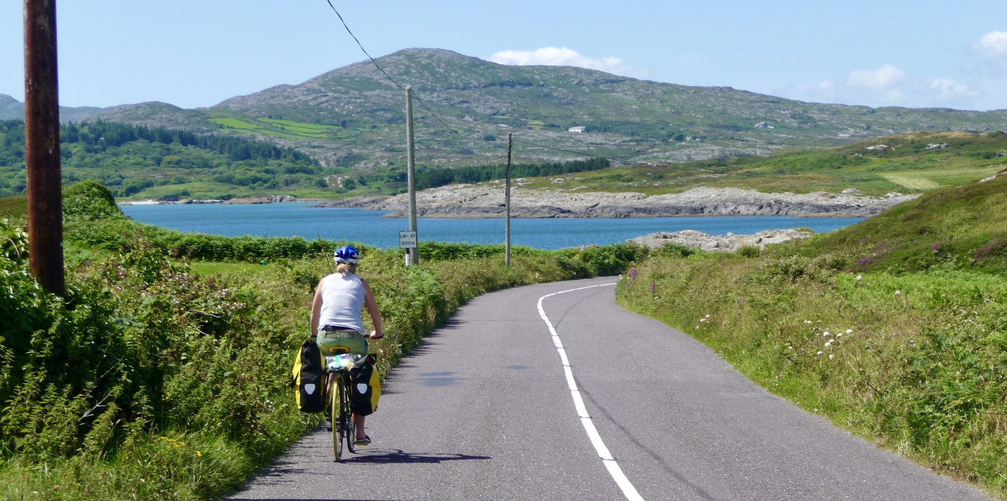
Discover beautiful Ireland – cycle end-to-end from Mizen to Malin
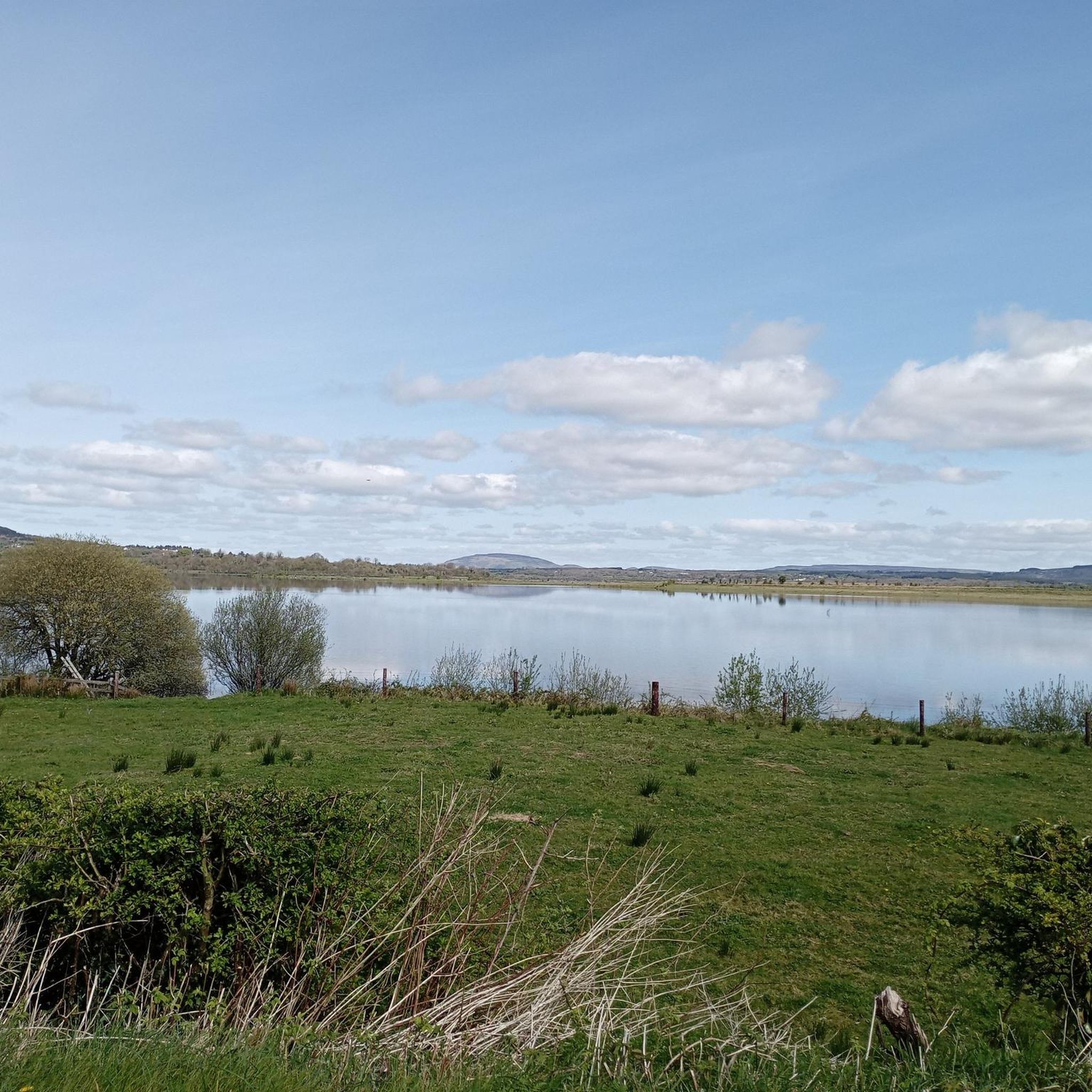
Cycling around Ballinamore
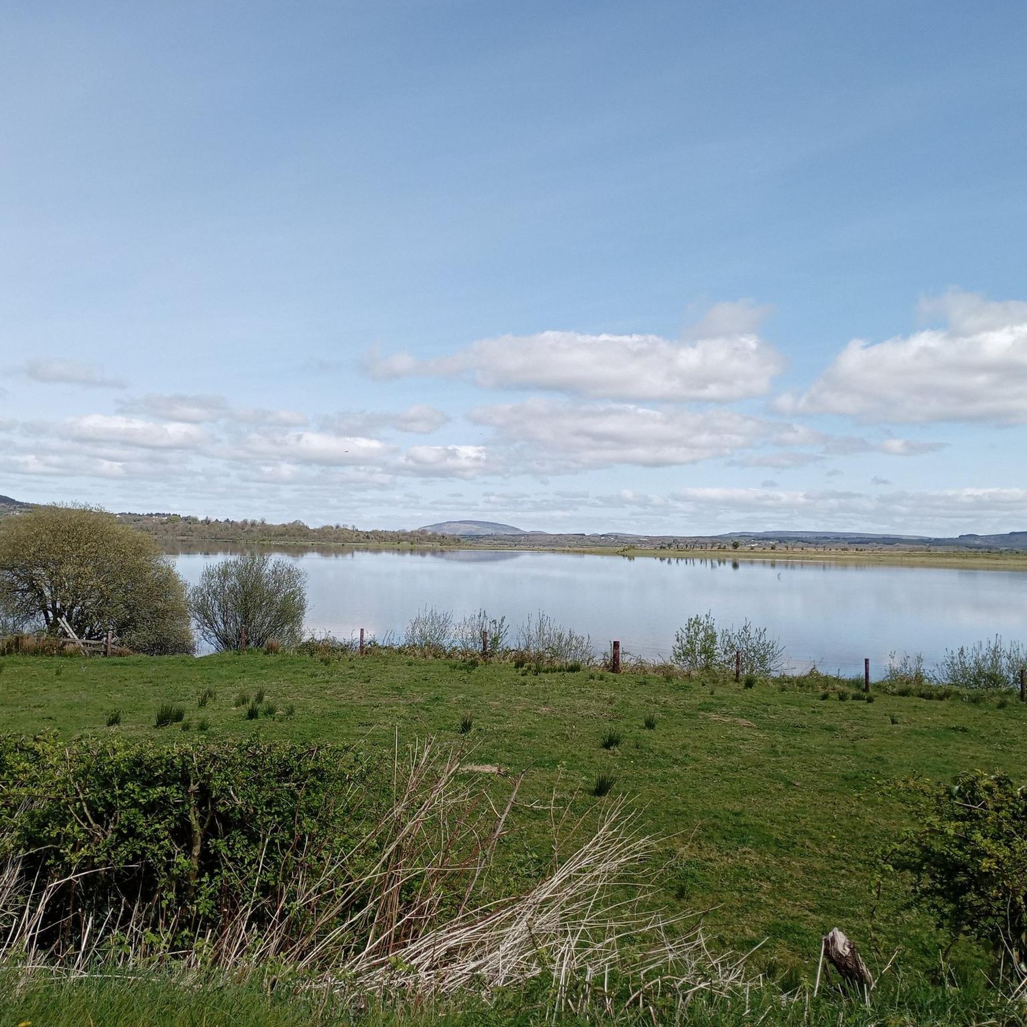
Road Cycling Routes around Ballinamore
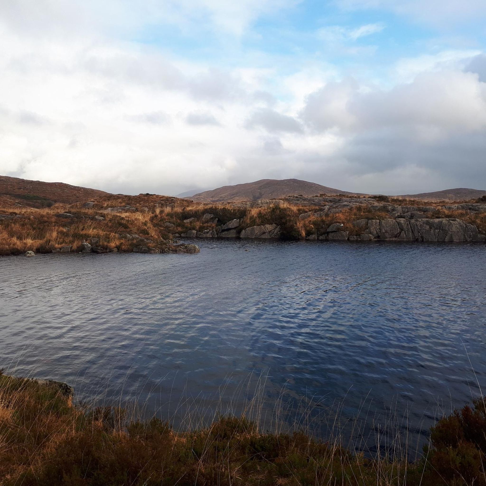
Running Trails around Ballinamore
Other adventures around Ballinamore


Tips from the Community

Aghoo Bridge crosses the Shannon–Erne Waterway. It's an access point for the waterside trail and an escape point to reach the nearby Riversdale Farm B&B.
0
0
The Tullylacken trail is a 10 km (6 mile) waymarked trail which follows blue (and purple) markers. It roughly follows a loop around the Yellow River valley, crossing fields, moorland and through some woodland.
0
0
Quiet country road which winds up from Ballinamore to the Pass of Bencroy. As well as being a good cycling road there are lots of access points for walking routes.
0
0
The North Longford Rebel Trail is a community-led, multi-user path which safely connects the villages of Drumlish, Monaduff, and Ballinamuck. Much of the trail runs close to but separate from the busy R198. The trail is either tarmac or fine gravel and suitable for many wheelchairs and pushchairs as well as bikes, walkers and runners.
0
0

With its picturesque scenery, serene waters and attendant gastropubs, the Shannon-Erne Waterway is popular with cruisers and visitors. It links the Shannon Navigation and the Erne System, two of the nation's great waterways. This section near Ballinamore makes for a pleasant amble.
0
0
An attractive waterside town, Ballinamore has much to offer visitors. Its lively streets host good pubs and restaurants, while a stroll along the towpath of the Shannon-Erne Waterway is very pleasant. The town is renowned for its abundance of coarse angling waters.
0
0
Frequently Asked Questions
What types of hiking trails are available around Ballinamore?
Ballinamore offers a diverse range of hiking trails, from easy waterside paths along the Shannon-Erne Waterway to more challenging mountain ascents on peaks like Sliabh an Iarainn. You'll find a mix of looped trails, forest walks, and routes that follow historical railway lines, catering to various fitness levels.
Are there any easy, family-friendly walks near Ballinamore?
Yes, there are several easy and family-friendly options. The Kilronan castle loop — County Roscommon is an easy 4.6 km path winding through the castle grounds. Another gentle option is the Kilronan Castle Looped Walks – Doon Point loop, which is just 2.3 km. The Ballinamore Looped Walking Trail along the Shannon-Erne Waterway is also an accessible choice for all ages.
Can I bring my dog on the hiking trails in Ballinamore?
Many trails in the Ballinamore area are dog-friendly, provided dogs are kept on a lead. For instance, the Ballinamore to Aghawillin Greenway explicitly permits dogs on a lead. Always check local signage for specific restrictions, especially in nature reserves or areas with livestock.
Are there any circular walks or loop trails in the area?
Yes, Ballinamore is well-known for its looped trails. The Acres Lake Boardwalk – Shannon Erne Waterway loop is a popular 13.2 km option. You can also explore the Killykeen Forest Park – Lough Oughter loop, which is 4.7 km, or the Kilronan castle loop.
What natural features or landmarks can I expect to see while hiking?
The region is rich in natural beauty. You'll encounter numerous lakes, including the historically significant Lough Allen and Lough Scur. The Acres Lake Boardwalk offers a unique floating walk experience. You'll also see the tranquil Shannon-Erne Waterway and the rolling hills of mountains like Sliabh an Iarainn and Bencroy.
What do other hikers say about the trails in Ballinamore?
The trails around Ballinamore are highly regarded by the komoot community, with an average rating of 4.6 stars from over 30 reviews. Hikers frequently praise the scenic beauty, the variety of terrain, and the peaceful atmosphere of the waterways and mountains.
Are there any longer or more challenging hikes for experienced hikers?
For those seeking a more challenging experience, the Benbeg & Cuilcagh Mountain from Bellavally Gap route is a moderate 10.3 km trail with significant elevation gain, offering rewarding views. The slopes of Sliabh an Iarainn also provide way-marked walks that can extend up to 20 km for a full-day excursion.
Where can I find parking for the hiking trails?
Parking is generally available at key access points for many trails. For instance, the Ballinamore Looped Walking Trail starts at Ballinamore Marina, which typically has parking facilities. Specific trailheads for mountain walks or forest parks will also have designated parking areas. It's advisable to check local information for specific routes.
Is public transport available to reach hiking areas around Ballinamore?
While Ballinamore itself has bus connections, direct public transport to specific remote trailheads might be limited. Many trails, especially those along the Shannon-Erne Waterway or starting from the town, are accessible. For more distant mountain walks, personal transport is often recommended. For general information on the area, you can visit leitrimtourism.com.
What is the best time of year to go hiking in Ballinamore?
Ballinamore offers hiking opportunities year-round. Spring and autumn provide pleasant temperatures and beautiful scenery with changing foliage. Summer is ideal for longer days and warmer weather, while winter can offer crisp, clear conditions, though some mountain paths may be more challenging. Always be prepared for changeable Irish weather regardless of the season.
Are there any trails that follow historical routes?
Yes, the Ballinamore to Aghawillin Greenway follows the footprint of the former Cavan and Leitrim Railway, offering a unique historical perspective as you walk. The Kingfisher Trail, which passes through the area, also connects to historical waterways and towns.
How many hiking routes are there in total around Ballinamore?
There are over 10 hiking routes documented around Ballinamore, ranging in difficulty from easy to moderate. This includes a variety of looped trails, waterside paths, and mountain ascents, ensuring options for different preferences and fitness levels.
Most popular attractions around Ballinamore

Get inspired with the komoot mobile app


Explore more
Browse the best Hikes in other regions.
