The best cycling routes around The Municipal District of Laytown — Bettystown
4.6
(21)
316
riders
35
rides
Touring cycling around The Municipal District of Laytown — Bettystown features a diverse landscape, characterized by its scenic coastline stretching from the River Boyne to the River Delvin. The region includes fine, golden sand beaches and rolling sand dunes, alongside the tidal River Nanny estuary and the ecologically significant Boyne Estuary. With an average elevation of 72 meters and a maximum of 248 meters, the terrain offers varied cycling experiences.
Best touring cycling routes around The Municipal District of Laytown — Bettystown
- The most popular touring cycling route is Newgrange Tomb – Boyne River Greenway loop from Slane, a 23.1 miles (37.2 km) trail that takes 2 hours 17 minutes to complete. This moderate route explores historical sites and riverine landscapes.
- Another top favourite among local touring cyclists is Boyne Viaduct loop from Laytown, a moderate 36.0 miles (57.9 km) path. This route offers views of the Boyne Viaduct and coastal scenery.
- Local touring cyclists also love the Beach Entrance – Gilnas Bar & Restaurant loop from Drogheda Railcar Service Depot, a 13.5 miles (21.8 km) trail leading through coastal areas, often completed in about 1 hour 20 minutes.
- Touring cycling around The Municipal District of Laytown — Bettystown is defined by its coastal paths, river estuaries, and historical landmarks. The network offers options for different ability levels, from easy coastal rides to more moderate loops.
- The routes in The Municipal District of Laytown — Bettystown are highly rated by the komoot community with an average score of 4.8 stars from more than 8 reviews. More than 140 touring cyclists have used komoot to explore The Municipal District of Laytown — Bettystown's varied terrain.
Last updated: July 10, 2026
5.0
(2)
13
riders
37.5km
02:19
310m
310m
Moderate bike ride. Good fitness required. Mostly paved surfaces. Suitable for all skill levels.
5.0
(1)
9
riders
59.3km
03:30
290m
290m
Moderate bike ride. Good fitness required. Mostly paved surfaces. Suitable for all skill levels.

Sign up for free
8
riders
Moderate bike ride. Good fitness required. Mostly paved surfaces. Suitable for all skill levels.
5
riders
19.6km
01:09
100m
100m
Easy bike ride. Great for any fitness level. Mostly paved surfaces. Suitable for all skill levels.
5
riders
21.9km
01:18
130m
130m
Easy bike ride. Great for any fitness level. Mostly paved surfaces. Suitable for all skill levels.
4
riders
10.0km
00:34
30m
30m
Easy bike ride. Great for any fitness level. Mostly paved surfaces. Suitable for all skill levels.
3
riders
Easy bike ride. Great for any fitness level. Mostly paved surfaces. Suitable for all skill levels.
3
riders
24.5km
01:26
110m
110m
Easy bike ride. Great for any fitness level. Mostly paved surfaces. Suitable for all skill levels.
4
riders
10.2km
00:34
30m
30m
Easy bike ride. Great for any fitness level. Mostly paved surfaces. Suitable for all skill levels.
3
riders
27.2km
01:42
280m
280m
Moderate bike ride. Good fitness required. Mostly paved surfaces. Suitable for all skill levels.
Get access to more routes and recommendations from other explorers.
Sign up for free
Already have an account?
Our route recommendations are based on thousands of hikes, rides, and runs completed by other people on komoot.
Start today with a free account
Your next adventure awaits.
Login or Signup
Popular around The Municipal District of Laytown — Bettystown

Other adventures around The Municipal District of Laytown — Bettystown

Tips from the Community

Standing proudly at the intersection of Shop Street and West Street, The Tholsel is an 18th-century limestone clock tower that serves as the unmistakable architectural anchor of Drogheda's town center. Once the historic seat of the town council, this beautifully restored landmark now houses the local tourist information center and a fantastic interactive exhibition on the region's rich heritage. A brilliant blend of functional tourism and living history. Whether you are looking for expert travel advice or a quick dose of local culture, this magnificent landmark is an essential pitstop on any Drogheda itinerary.
1
0

Hi, the image shown is THE VIADUCT. Mary Mc Aleese bridge crosses the Boyne river carrying motorway traffic. The image is incorrect.
0
0
Footbridge over the Boyne Navigation near the Currach Centre. The towpath west of here is very nice for a walk but to continue east you'll have to use a section of road.
0
0

currachs built by Ross van Boyne's Boats. Along the banks of the River Boyne at Oldbridge, you can admire the special currachs, traditional Irish boats that are handcrafted here by Ross van Boyne Boats. These unique vessels – with their distinctive wooden frame and stretched skin – are directly linked to the ancient history of the river. Ross uses his expertise not only to build these boats but also to let visitors experience the river as the inhabitants did back in the Stone Age. If you get the chance to see them on the water, you will witness a beautiful piece of craftsmanship that connects the Boyne Valley to its distant past.
5
0
The Boyne River Greenway takes you on a relaxing journey through Ireland's history. This beautifully crafted trail follows the winding River Boyne from the vibrant quays of Drogheda to the historic fields of Oldbridge. You'll cycle through a landscape of lush woodlands and rolling riverbanks, far from traffic. Along the way, you'll pass information boards that tell the story of the legendary Battle of the Boyne. Whether you come for the nature, the fresh air, or the unique heritage of the Boyne Valley; this green artery offers a relaxing and inspiring experience for every cyclist.
6
0
This monumental mural depicts a mythical, golden figure with a staff and cloak, painted in CREATERO's signature style. The warm tones and dramatic lighting give the work an almost spiritual aura, as if the figure is emerging from a hidden world. It is a striking piece of art in the centre of Dundalk.
5
0
This elegant cable-stayed bridge spans the River Boyne west of Drogheda, forming a striking landmark along the M1 motorway. Its slender pylons and fanning cables give the bridge a light, almost sculptural appearance above the river valley. From the surrounding routes, you have a clear view of the structure and the wide landscape of the Boyne Valley.
5
0
On the right bank lies Millmount, presumably an old Bronze Age burial mound, which successively served as a watchtower, feudal motte and finally as a fortress. From the top you have a panoramic view of the city. In the Millmount Museum & Tower, an interesting small museum about local history, you will discover a unique collection of company flags and memorabilia from the American War of Independence.
6
0
Frequently Asked Questions
What is the typical terrain and difficulty level for touring cycling routes in Laytown-Bettystown?
The Municipal District of Laytown-Bettystown offers a diverse landscape for touring cyclists. Routes often feature scenic coastal paths with fine, golden sand beaches and rolling sand dunes, alongside river estuaries. The terrain has an average elevation of 72 meters and a maximum of 248 meters, providing varied cycling experiences. You'll find a mix of easy and moderate routes, with 17 easy and 23 moderate options available. For example, the Newgrange Tomb – Boyne River Greenway loop from Slane is a moderate route exploring historical sites and riverine landscapes.
Are there easy touring cycling routes suitable for beginners or families?
Yes, there are several easy touring cycling routes perfect for beginners or families. These routes often feature mostly paved surfaces and offer gentle gradients. An example is the Beach Entrance – Gilnas Bar & Restaurant loop from Drogheda Railcar Service Depot, which is 21.8 km long and typically takes about 1 hour 20 minutes to complete. Another easy option is the Saint Laurence's Gate loop from Eastham Village.
What historical sites or natural landmarks can I see along the touring cycling routes?
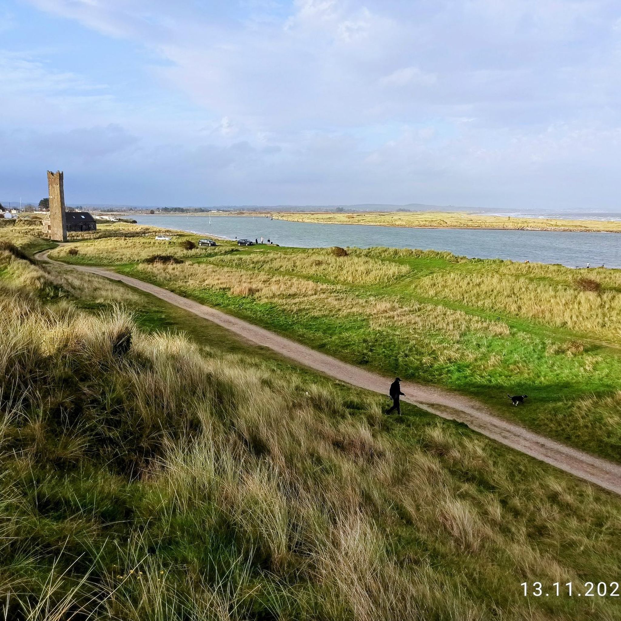
The region is rich in historical and natural landmarks. Many routes offer views of the scenic coastline, including Mornington Beach with its sand dunes. You can also encounter significant historical sites such as the 16th-century Maiden Tower at Mornington, which historically served as a navigational aid. The area is also close to UNESCO World Heritage sites like Brú na Bóinne, which includes the spectacular prehistoric passage tombs of Newgrange Passage Tomb and Knowth Megalithic Tombs. The Boyne Viaduct loop from Laytown offers views of the iconic Boyne Viaduct.
Are there scenic coastal routes with good viewpoints?
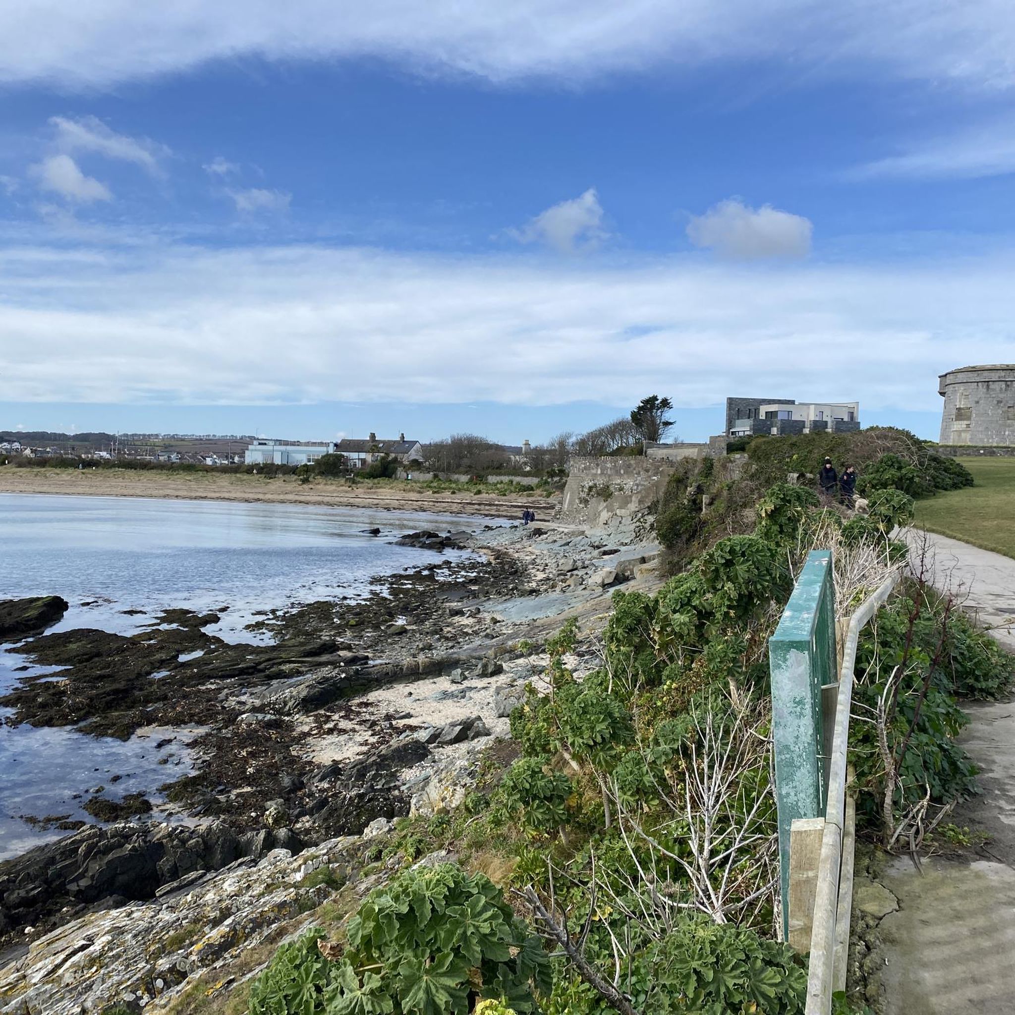
Absolutely. The Municipal District of Laytown-Bettystown is renowned for its picturesque coastline stretching from the River Boyne to the River Delvin. Many touring cycling routes hug the coast, offering refreshing sea breezes and stunning views of the Irish Sea. The Beach Entrance – Gilnas Bar & Restaurant loop from Bettystown is an easy route that takes you through coastal areas, providing ample opportunities for scenic vistas. The Voyager Sculpture on Laytown Beach also serves as an iconic landmark along coastal rides.
What do other touring cyclists enjoy the most about touring cycling in Laytown-Bettystown?
The area is highly rated by the komoot community, with an average score of 4.8 stars from more than 8 reviews. Reviewers often praise the diverse landscape, which combines scenic coastal paths, river estuaries, and historical landmarks. Cyclists appreciate the variety of routes available, catering to different ability levels, from easy coastal rides to more moderate loops like the Boyne Viaduct – Clogherhead Fishing Harbour loop from Drogheda Railcar Service Depot.
Are there any circular touring cycling routes in the area?
Yes, many of the touring cycling routes in Laytown-Bettystown are designed as loops, allowing you to start and finish at the same point. This makes planning your ride convenient. Examples include the Beach Entrance loop from Bettystown and the Dowdall Cross loop from Nanny, both of which are easy circular routes.
What is the best time of year to go touring cycling in Laytown-Bettystown?
While specific seasonal weather can vary, the coastal nature of Laytown-Bettystown means that spring and summer generally offer the most pleasant conditions for touring cycling. During these months, you can expect milder temperatures and potentially less rainfall, making for more enjoyable rides along the beaches and estuaries. However, the refreshing sea breeze can be present year-round.
Are there options for longer touring cycling routes in the region?
Yes, while there are many shorter, easy routes, you can also find longer touring cycling options. For instance, the Boyne Viaduct loop from Laytown is a moderate 57.9 km path, offering a more extended ride with views of the Boyne Viaduct and coastal scenery. The region's proximity to other historical sites also allows for integrating longer routes that connect various attractions.
What kind of cycling infrastructure can I expect in Laytown-Bettystown?
The Municipal District of Laytown-Bettystown is actively developing its cycling infrastructure. The area has identified 14 primary and secondary routes, with a concerted effort to improve and expand cycling-friendly pathways. These routes predominantly feature paved surfaces, making them suitable for touring cyclists. The Jimmy Tully Pedestrian Bridge, spanning the River Nanny, is a significant part of this infrastructure, providing a safe crossing for cyclists.
Are there any routes that explore the Boyne Estuary or River Nanny?
Yes, the region's natural features include the River Nanny, a tidal estuary, and the larger Boyne Estuary, which is recognized as a Special Area of Conservation. Cycling routes often incorporate these environments, offering varied scenery. While not exclusively along the Nanny, routes like the Gilnas Bar & Restaurant – Beach Entrance loop from Mornington will bring you close to the coastal and estuarine areas, allowing you to experience the ecological significance of the region.
Can I find routes that connect to other historical areas like Brú na Bóinne?
Yes, the region's touring cycling routes can serve as a gateway to major historical sites. The Newgrange Tomb – Boyne River Greenway loop from Slane is a prime example, directly incorporating the historical significance of the area by exploring riverine landscapes near Brú na Bóinne. Other nearby historical attractions like Slane Castle and Trim Castle can also be integrated into longer touring plans.
Most popular routes around The Municipal District of Laytown — Bettystown
Most popular attractions around The Municipal District of Laytown — Bettystown

Get inspired with the komoot mobile app


Explore more
Browse the best Cycling routes in other regions.
