The best walks and hikes around The Municipal District of Dungarvan — Lismore
4.5
(381)
2,964
hikers
44
hikes
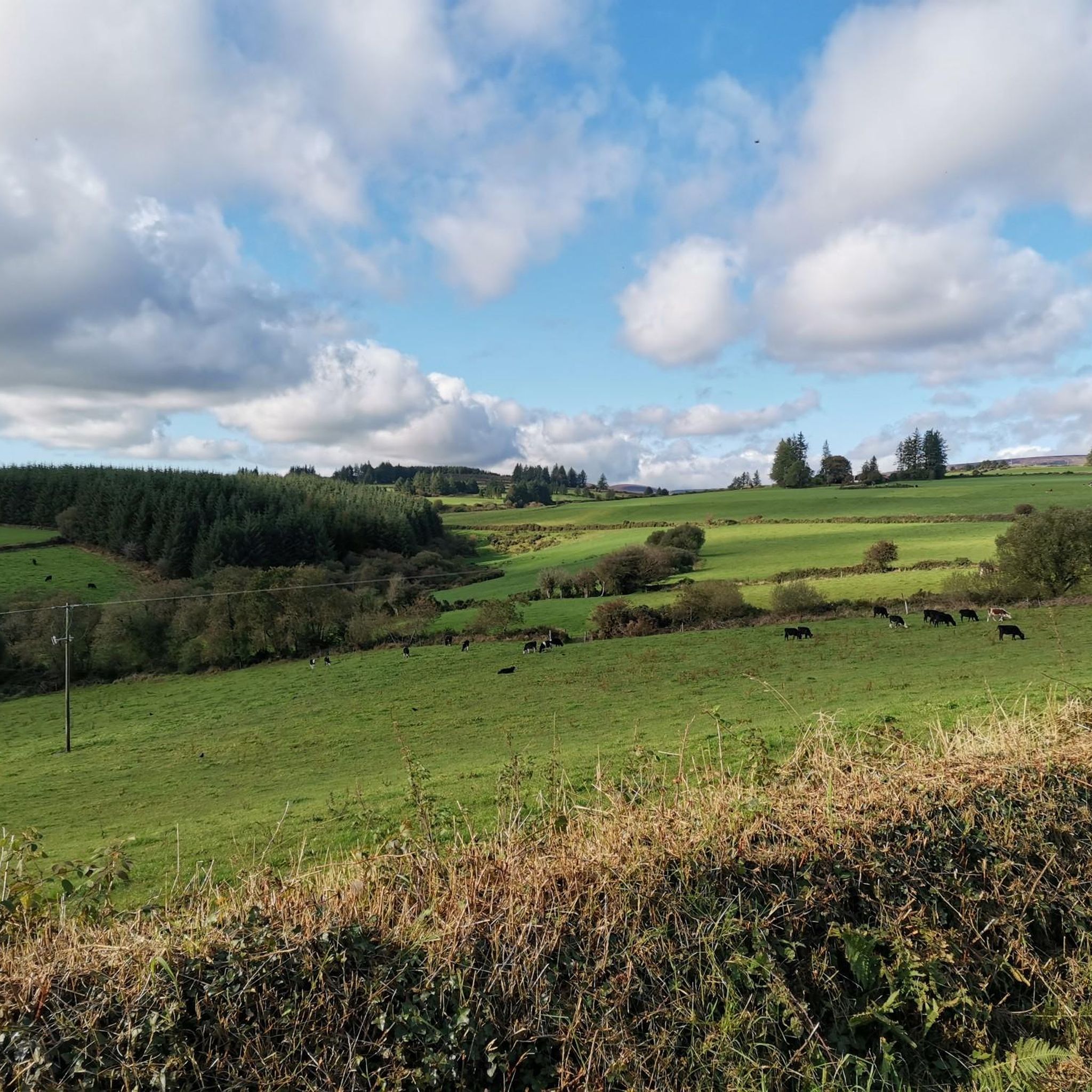
Hiking around The Municipal District of Dungarvan — Lismore offers diverse landscapes, from mountainous terrain to coastal paths and tranquil woodlands. The region is characterized by the Comeragh and Knockmealdown Mountains, featuring peaks like Knockmealdown Peak and Sugarloaf Hill, alongside river valleys such as the Glenshelane and Colligan. Coastal areas like Ardmore Cliffs provide dramatic ocean views, while inland, dense forests and rolling countryside define many trails.
Best hiking trails around The Municipal District of Dungarvan — Lismore
- The most popular hiking route is Ardmore Cliffs via Ardmore Beach, a 4.0 miles (6.4 km) trail that takes 1 hour 43 minutes to complete. This easy coastal path offers ocean views and passes historical landmarks.
- Another top favourite among local hikers is Knockmealdown Peak via Sugarloaf Hill, a moderate 5.1 miles (8.2 km) path. This route ascends through mountainous terrain, providing extensive panoramic views from the summit.
- Local hikers also love the Glenshelane Red Trail, a 7.1 miles (11.4 km) trail leading through woodlands along the Glenshelane River, often completed in about 3 hours 8 minutes.
- Hiking around The Municipal District of Dungarvan — Lismore is defined by mountainous ascents, coastal paths, and tranquil woodland trails. The network offers options for various ability levels, from easy riverside strolls to challenging mountain climbs.
- The routes in The Municipal District of Dungarvan — Lismore are highly rated by the komoot community with an average score of 4.5 stars from nearly 200 reviews. More than 1,100 hikers have used komoot to explore The Municipal District of Dungarvan — Lismore's varied terrain.
Last updated: May 30, 2026
4.8
(92)
509
hikers
6.39km
01:43
80m
80m
Easy hike. Great for any fitness level. Easily-accessible paths. Suitable for all skill levels.
4.8
(20)
107
hikers
8.15km
03:05
560m
560m
Moderate hike. Good fitness required. Easily-accessible paths. Suitable for all skill levels.

Sign up for free
4.8
(6)
56
hikers
7.38km
02:41
460m
460m
Moderate hike. Good fitness required. Easily-accessible paths. Suitable for all skill levels.
8
hikers
1.93km
00:33
40m
50m
Easy hike. Great for any fitness level. Easily-accessible paths. Suitable for all skill levels.
4.0
(6)
22
hikers
11.4km
03:08
190m
190m
Moderate hike. Good fitness required. Easily-accessible paths. Suitable for all skill levels.
4.5
(4)
31
hikers
5.21km
01:24
60m
60m
Easy hike. Great for any fitness level. Easily-accessible paths. Suitable for all skill levels.
4.5
(4)
30
hikers
5.71km
01:35
100m
100m
Easy hike. Great for any fitness level. Easily-accessible paths. Suitable for all skill levels.
5.0
(3)
12
hikers
12.3km
04:01
570m
570m
Moderate hike. Good fitness required. Easily-accessible paths. Suitable for all skill levels.
14
hikers
2.37km
00:43
70m
70m
Moderate hike. Great for any fitness level. Mostly accessible paths. Sure-footedness required.
20
hikers
8.74km
02:41
340m
340m
Moderate hike. Good fitness required. Easily-accessible paths. Suitable for all skill levels.
Get access to more routes and recommendations from other explorers.
Sign up for free
Already have an account?
Our route recommendations are based on thousands of hikes, rides, and runs completed by other people on komoot.
Start today with a free account
Your next adventure awaits.
Login or Signup
Popular around The Municipal District of Dungarvan — Lismore
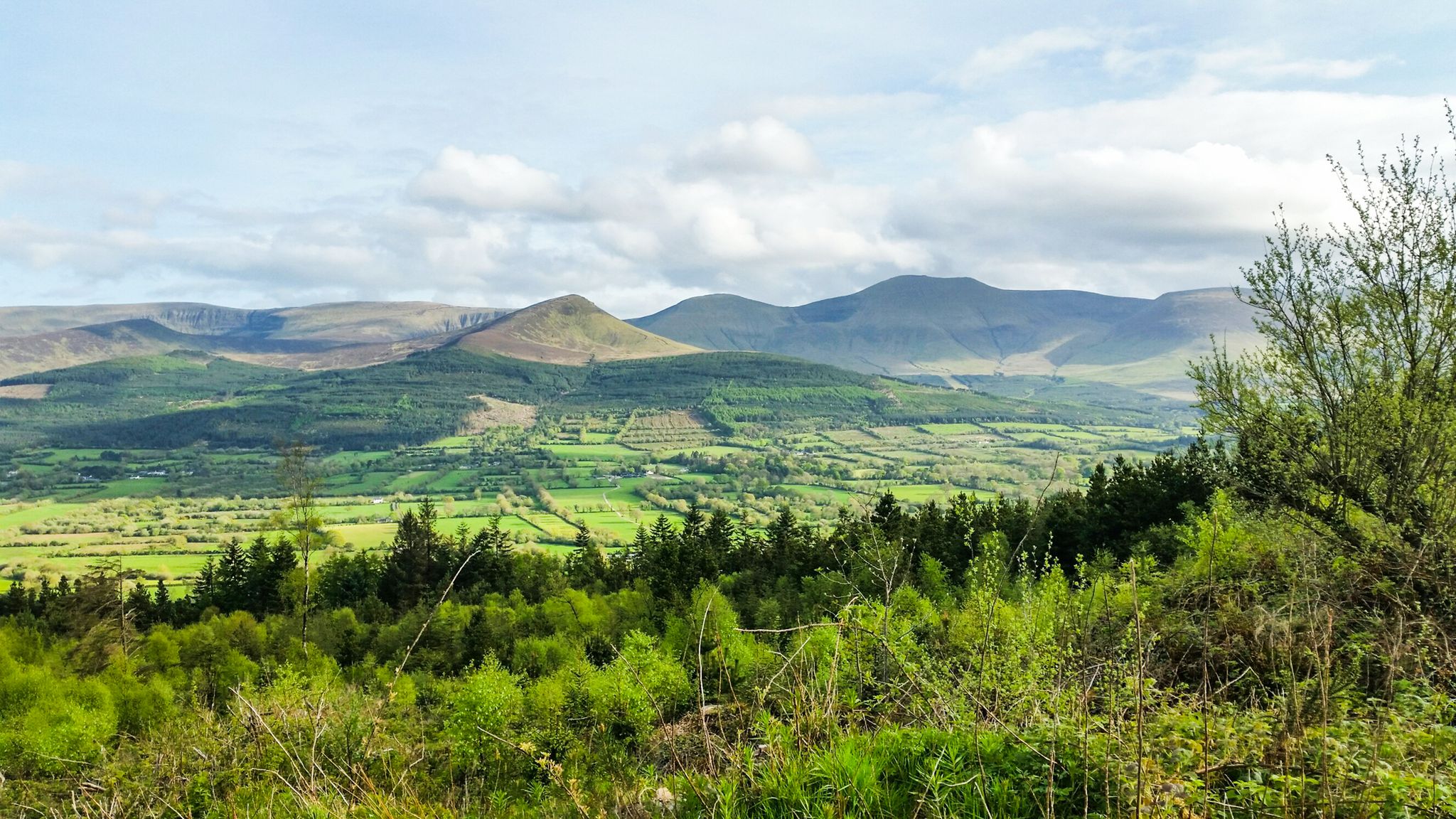
Hiking through the heart of the Emerald Isle – discover central Ireland
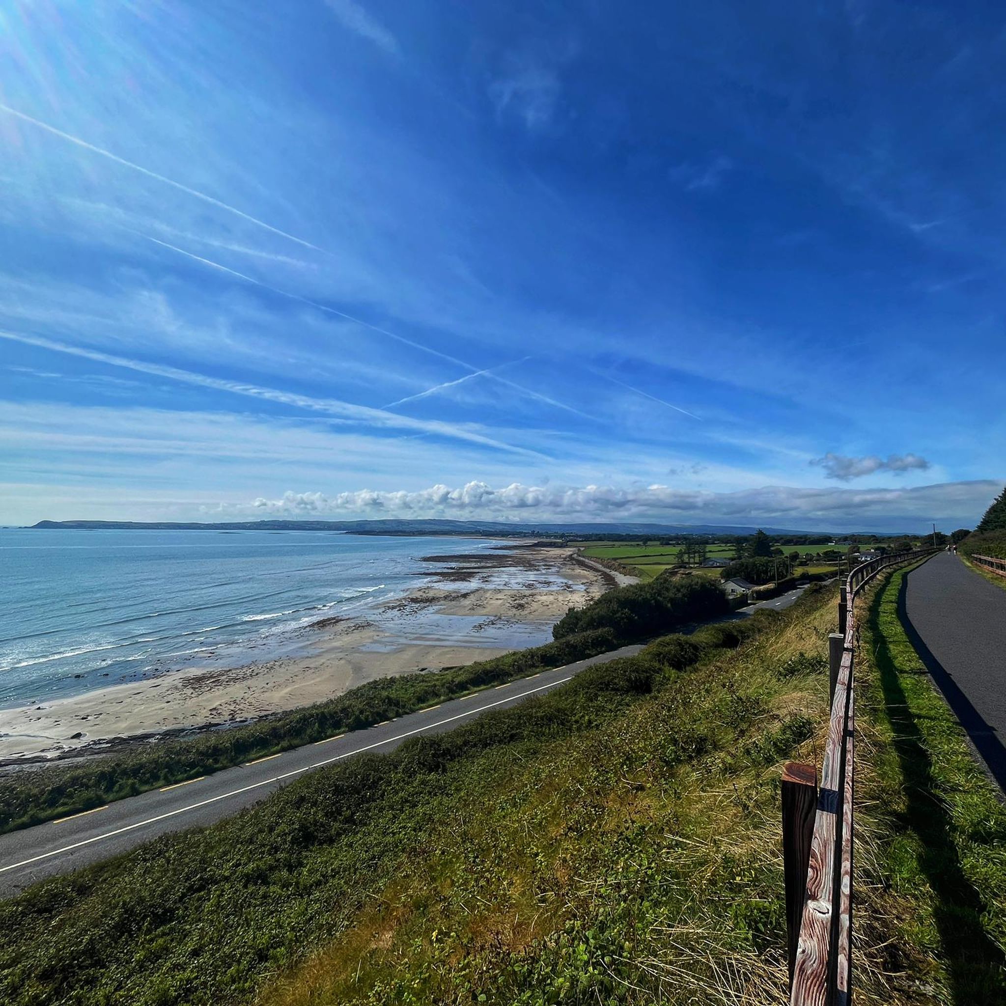
Road Cycling Routes around The Municipal District of Dungarvan — Lismore
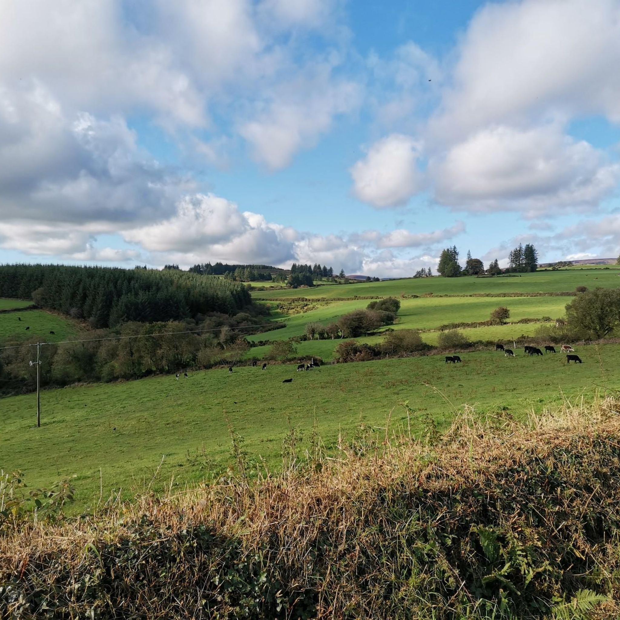
Cycling around The Municipal District of Dungarvan — Lismore
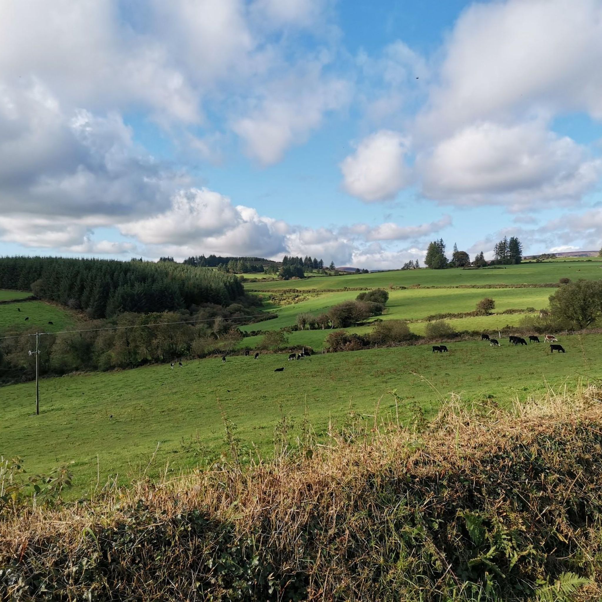
Running Trails around The Municipal District of Dungarvan — Lismore
MTB Trails around The Municipal District of Dungarvan — Lismore
Other adventures around The Municipal District of Dungarvan — Lismore

Tips from the Community

Atop the cliffs of Ardmore lies one of Ireland's oldest Christian sites. This impressive complex combines a 12th-century cathedral with an iconic, 30-meter-high round tower. Be sure to wander along the western outer wall of the ruin to admire the unique Romanesque carving, on which biblical scenes such as Adam and Eve are still clearly visible. Inside, you'll find rare Ogham stones with the oldest Irish script. Next to the cathedral stands the 8th-century oratory, the traditional burial place of St. Declan. A historic resting place with a phenomenal view over the Celtic Sea.
7
0
12th-century round tower and one of Ireland's best preserved. Slender, elegant and surrounded by cathedral, ogham stones and early Christian graves. A historic anchor point above Ardmore Bay and a perfect start for the Cliff Walk.
7
0

This bridge gives you access to the Inchidrisla Wood loop and its atmosphere.
0
0
Inchadrisla Wood is a scenic forestry area within Colligan Wood, located on the Clonmel road from Dungarvan in County Waterford, situated within a vibrant river valley that shelters the salmon-spawning River Colligan.
0
0

The Colligan River (Irish: Abhainn Choilligeáin) is reputed to be one of the fastest flowing rivers in Europe! Standing on the bridge, in early spring, gives a real sense of just how fast flowing it is. It would be a very quick game of pooh-sticks!
1
0

The path here is easily accessible, even with a stroller and those with slight walking difficulties. This bridge will surely delight everyone; it's a wonderful place. Plenty of benches, easy-to-walk paths (some parts are uphill, but not too steep).
2
0
If nobody's here, you can rest on the rocks around the campfire. That's quite nice, because there are no benches anywhere.
3
0
Three bridges cross the river, so everyone can choose the length of their hike. The trails are steep, up and down, and are well-marked and easy to follow. We saw fallow deer and—what was a great joy—the shy dipper. There are small access points to the river from time to time, but unfortunately, there are no benches except at the parking lot.
3
0
Frequently Asked Questions
How many hiking trails are available in The Municipal District of Dungarvan — Lismore?
There are over 40 hiking routes in The Municipal District of Dungarvan — Lismore, offering a variety of experiences from easy strolls to challenging mountain climbs. You'll find 27 easy routes and 17 moderate routes, ensuring options for all fitness levels.
Are there any family-friendly hiking trails in the area?
Yes, the region offers several family-friendly options. The Ballysaggartmore Towers Loop is a shorter, easy 1.9 km walk through woodlands featuring unique Gothic follies, perfect for families. The Inchidrisla Wood Loop and Greenane Loop in Colligan Wood also provide peaceful, easy riverside paths suitable for all ages.
Can I bring my dog on the hiking trails?
Many trails in The Municipal District of Dungarvan — Lismore are dog-friendly, especially those through woodlands and along coastal paths. Always ensure your dog is under control, and check local signage for any specific restrictions, particularly in nature reserves or protected areas. Woodland trails like those in Colligan Wood or along the Glenshelane River are generally good options for walks with dogs.
What kind of scenic views can I expect while hiking here?
The region offers diverse scenic views. You can experience dramatic ocean vistas along the Ardmore Cliffs, or panoramic mountain views from the Comeragh and Knockmealdown Mountains, such as from the Knockmealdown summit or Sugarloaf Hill summit cairn. Inland, trails like the Glenshelane Red Trail offer tranquil woodland and riverside scenery.
Are there any circular hiking routes available?
Yes, several trails in the area are designed as loops. The Ballysaggartmore Towers Loop is a popular short circular walk. In Colligan Wood, you can enjoy the Greenane Loop and Inchidrisla Wood Loop, both offering pleasant circular woodland experiences.
What historical landmarks or attractions can I see along the trails?
Along the Ardmore Cliffs via Ardmore Beach route, you can explore historical landmarks like the Ardmore Round Tower, the Ardmore Signal Tower, and the Wreck of the Sampson Crane Barge. The Ballysaggartmore Towers Loop features unique Gothic follies, adding a historical charm to your walk.
Are there challenging hikes for experienced hikers?
Absolutely. For experienced hikers seeking a challenge, the Comeragh and Knockmealdown Mountains offer strenuous ascents. Routes like Knockmealdown Peak via Sugarloaf Hill (560m elevation gain) or Seefin via Coumaraglin return (568m elevation gain) provide significant elevation and rewarding panoramic views.
What do other hikers enjoy most about hiking in The Municipal District of Dungarvan — Lismore?
The area is highly rated by the komoot community, with an average score of 4.5 stars from nearly 200 reviews. Hikers often praise the diverse landscapes, from the dramatic coastal paths to the tranquil woodlands and challenging mountain ascents, as well as the well-maintained trails and stunning views.
Is there public transport access to trailheads?
While some trailheads may be accessible by local bus services, public transport options can be limited for more remote mountain or woodland trails. It's advisable to check local bus schedules in advance or consider driving to trailheads, especially for routes in the Comeragh or Knockmealdown Mountains. The Waterford Greenway, popular for walking, is easily accessible from Dungarvan.
Where can I find parking for hiking trails?
Parking is generally available at popular trailheads and visitor centers. For example, Colligan Wood has designated parking areas, and there are parking facilities near the start of the Waterford Greenway in Dungarvan. For mountain trails in the Comeragh or Knockmealdown Mountains, look for car parks near common starting points, though these might be smaller and fill up quickly during peak times.
Are there any long-distance walking routes in the region?
Yes, the significant long-distance walking route known as St. Declan's Way commences in Ardmore, following historical paths. While not fully contained within the immediate guide, it offers an option for those looking for multi-day hiking experiences that start in the district.
What are the best times of year for hiking in this area?
Spring (April-May) and Autumn (September-October) are generally considered the best times for hiking in The Municipal District of Dungarvan — Lismore, offering pleasant temperatures and vibrant scenery. Summer (June-August) is also popular, though trails can be busier. Winter hiking is possible, especially on lower-level trails, but requires appropriate gear due to potentially wet and windy conditions, particularly in the mountains.
Most popular routes around The Municipal District of Dungarvan — Lismore
Most popular attractions around The Municipal District of Dungarvan — Lismore

Get inspired with the komoot mobile app


Explore more
Browse the best Hikes in other regions.
