The best walks and hikes around The Municipal District of Gorey — Kilmuckridge
4.6
(101)
859
hikers
37
hikes
Hiking around The Municipal District of Gorey — Kilmuckridge offers a diverse range of landscapes, from extensive golden beaches and rugged coastlines to rolling hills and peaceful woodlands. The region is characterized by prominent features such as Tara Hill and Croghan Mountain, providing elevated views of the Irish Sea and surrounding countryside. Numerous well-maintained trails wind through forests, along cliffs, and across sandy shores, catering to various hiking preferences. This area in County Wexford combines coastal and inland natural features for outdoor exploration.
Best hiking trails around The Municipal District of Gorey — Kilmuckridge
- The most popular hiking route is Croghan Mountain — Bann River and Croghan Trail, a 6.4 miles (10.3 km) trail that takes 3 hours 3 minutes to complete. This route explores the slopes of Croghan Mountain, offering views that can extend to Mount Snowdon on clear days.
- Another top favourite among local hikers is Tara Hill Blue Trail, a moderate 2.6 miles (4.2 km) path. This trail ascends Tara Hill, providing panoramic views of the coastline and the Wexford landscape.
- Local hikers also love the Carrigroe Hill loop — County Wexford, a 2.5 miles (4.0 km) trail leading through varied countryside, often completed in about 1 hour 7 minutes.
- Hiking around The Municipal District of Gorey — Kilmuckridge is defined by coastal paths, rolling hills, and dense woodlands. The network offers options for different ability levels, from easy strolls to more challenging ascents.
- The routes in The Municipal District of Gorey — Kilmuckridge are highly rated by the komoot community with an average score of 4.6 stars from over 35 reviews. More than 400 hikers have used komoot to explore The Municipal District of Gorey — Kilmuckridge's varied terrain.
Last updated: July 3, 2026
5.0
(4)
36
hikers
10.3km
03:03
320m
320m
Moderate hike. Good fitness required. Easily-accessible paths. Suitable for all skill levels.
12
hikers
4.16km
01:15
110m
110m
Moderate hike. Great for any fitness level. Mostly accessible paths. Sure-footedness required.

Sign up for free
5.0
(1)
14
hikers
4.41km
01:11
60m
60m
Easy hike. Great for any fitness level. Easily-accessible paths. Suitable for all skill levels.
4.0
(1)
7
hikers
4.04km
01:07
70m
70m
Easy hike. Great for any fitness level. Easily-accessible paths. Suitable for all skill levels.
8
hikers
6.62km
01:50
160m
160m
Easy hike. Great for any fitness level. Easily-accessible paths. Suitable for all skill levels.
6
hikers
6.90km
01:59
170m
170m
Easy hike. Great for any fitness level. Easily-accessible paths. Suitable for all skill levels.
5
hikers
6.30km
01:40
60m
60m
Easy hike. Great for any fitness level. Easily-accessible paths. Suitable for all skill levels.
1
hikers
7.88km
02:19
240m
240m
Moderate hike. Good fitness required. Easily-accessible paths. Suitable for all skill levels.
3
hikers
2.02km
00:32
30m
40m
Easy hike. Great for any fitness level. Easily-accessible paths. Suitable for all skill levels.
3
hikers
11.4km
03:23
310m
310m
Moderate hike. Good fitness required. Easily-accessible paths. Suitable for all skill levels.
Get access to more routes and recommendations from other explorers.
Sign up for free
Already have an account?
Our route recommendations are based on thousands of hikes, rides, and runs completed by other people on komoot.
Start today with a free account
Your next adventure awaits.
Login or Signup
Popular around The Municipal District of Gorey — Kilmuckridge
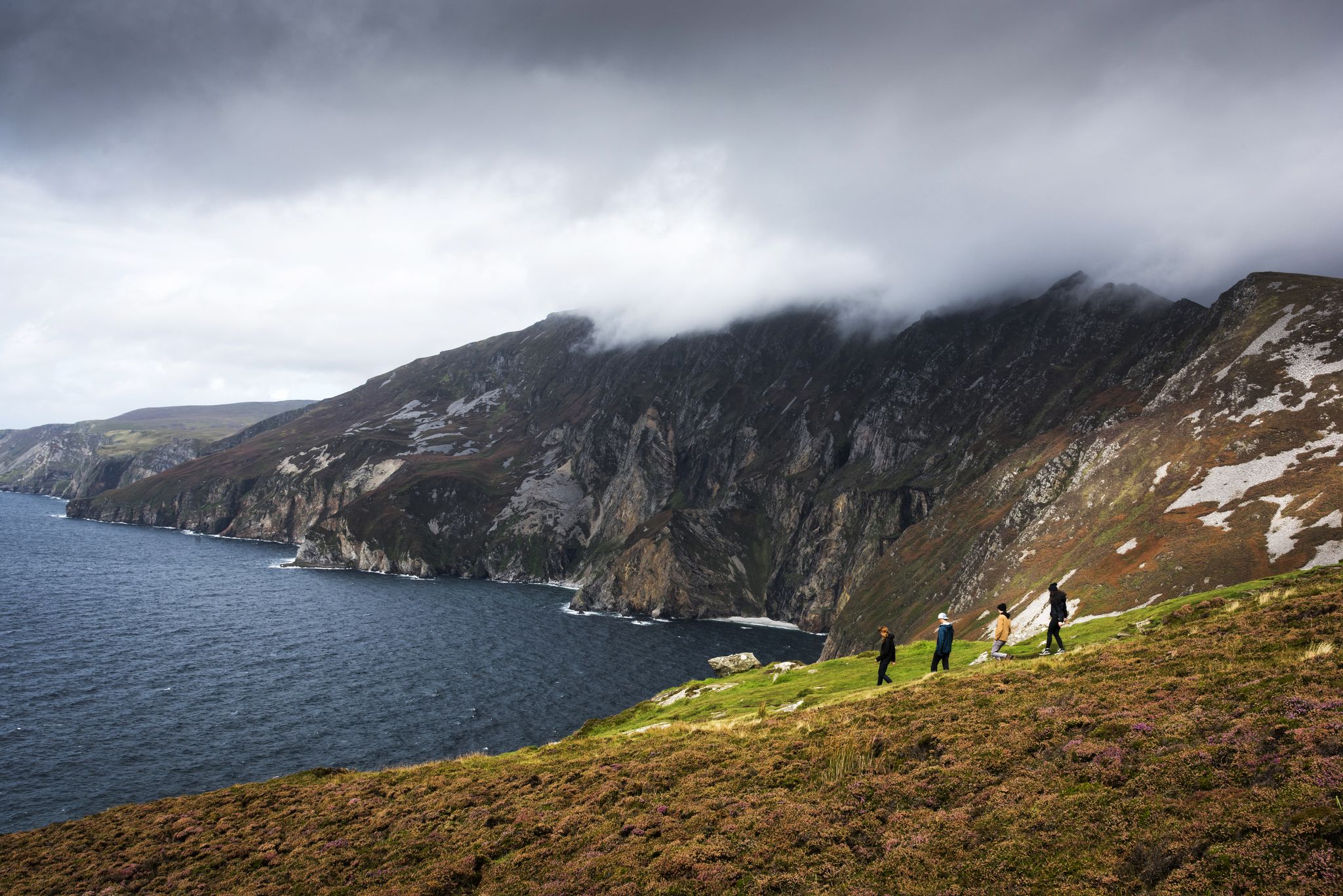
Hike Ireland's coast: cliffs, waves and wonderful wide beaches
Awaken your spirit of discovery — family-friendly walks in Ireland
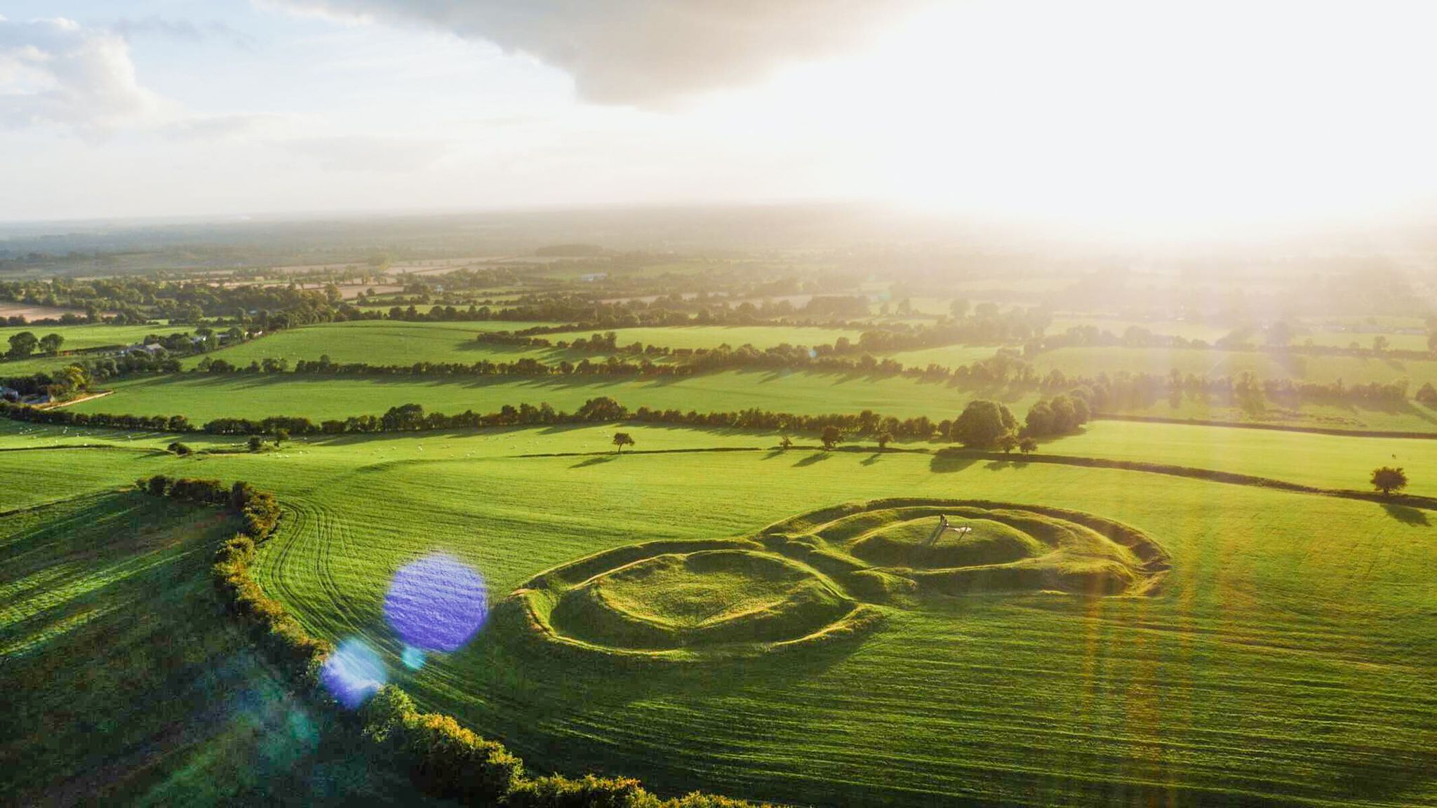
The magical east of Ireland – ancient places, scenic lakes and rocky mountains
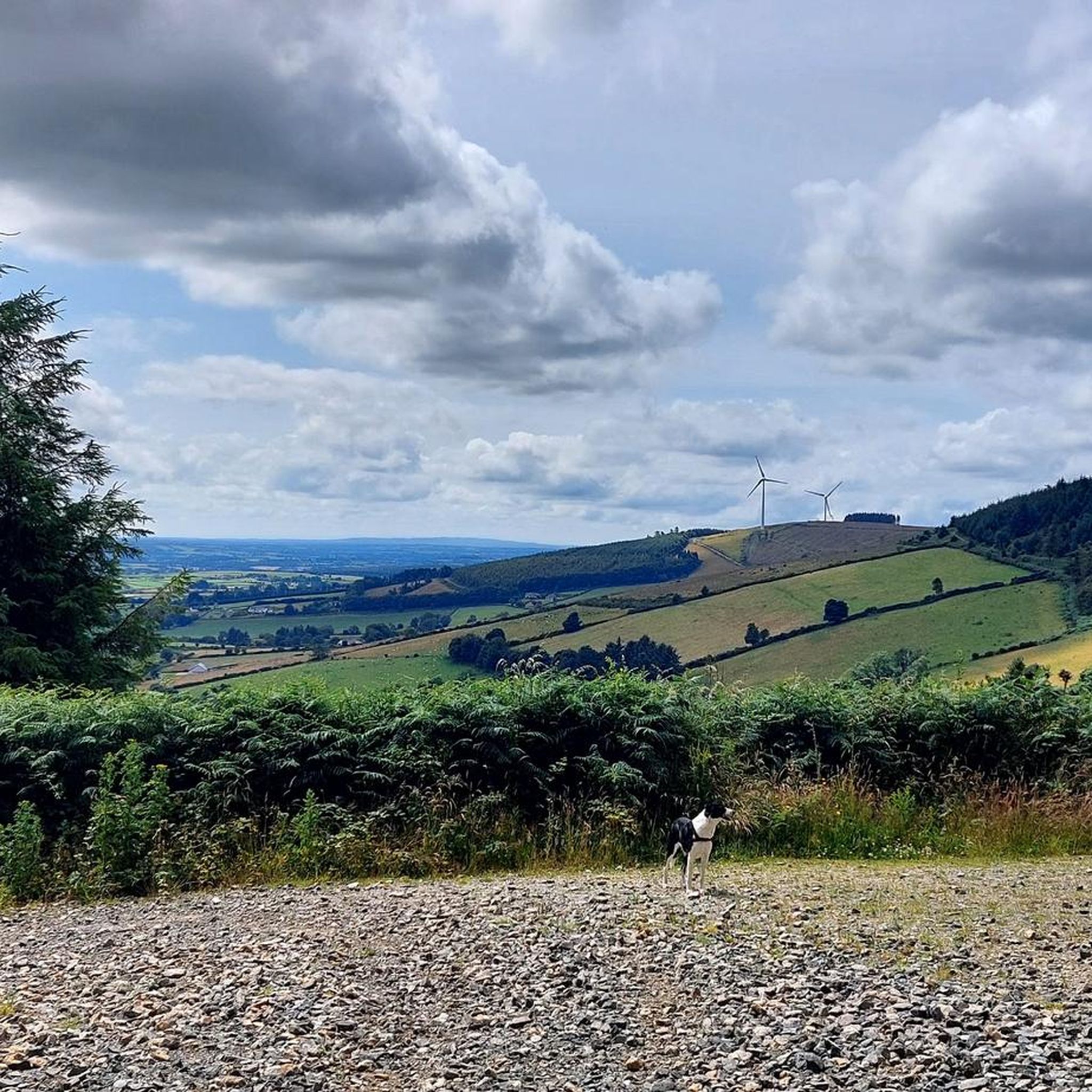
Cycling around The Municipal District of Gorey — Kilmuckridge

Road Cycling Routes around The Municipal District of Gorey — Kilmuckridge
Running Trails around The Municipal District of Gorey — Kilmuckridge
MTB Trails around The Municipal District of Gorey — Kilmuckridge
Other adventures around The Municipal District of Gorey — Kilmuckridge

Tips from the Community

Croghan Kinsella stands at 606 m (1,988 ft). It's position in the far southeast of the Wicklow Mountains means there are great views east over Arklow and out to sea and south across the lower lands. Most people climb from the east but there are also nice trails from the west.
0
0
Jack Keegan built the impressive dry-stone wall which runs along the spine of Annagh Hill in the early 1900s. He was paid ‘6d a perch’. If you keep an eye out, you can see where stone was hand quarried from outcrops on the hillside during construction.
0
0
Annagh Hill is 454 m (1,490 ft) high, with stunning views over Couty Wexford and the villages of Monaseed and Hollyfort. The hill is forested apart from the southeastern side. You can approach from the east or west, both make a similar wooded walk. It's around 10 km (6 miles) from the west or 7 km (4.5 miles) from the east.
0
0

The loop passes through acres of native mixed woodland that's teeming with birdlife. Mill river gently meanders its way through the woods that's a haven for wildlife along its banks.
0
0
The Mount Nebo Trail is a red waymarked circular walk, starting in Hollyfort and looping the woods below Mount Nebo, or Kilmichael Hill. It's a popular walk with a nice trail underfoot and great views over the surrounding low land. There are four benches on the circuit.
0
0

Ramsfort Wood is a peaceful spot with an easy, paved walking trail, making it ideal for a relaxed stroll or a quiet break. Here you'll find a picnic bench. It’s a lovely place to sit and enjoy the surrounding woodland. Just be prepared to bring your rubbish home, as there are no bins on site.
0
0
There are several suggested walking trails from Askamore village and they all head south past this point. The green Askamore loop is 6 km (3.7 miles) and walks a lollypop route around the woods and hill to the east. The blue Ballybeg loop is 9 km (5.6 miles), heading south towards Ballyduff. The purple Slieveboy loop is the longest at 12 km (7.5 miles), it traces the green and blue trails and adds an ascent of Slieveboy. The red St Brigid's loop is 10 km (6.2 miles) and heads off east to the village of Brideswell.
0
0
Frequently Asked Questions
How many hiking trails are available in The Municipal District of Gorey — Kilmuckridge?
The Municipal District of Gorey — Kilmuckridge offers a diverse selection of over 30 hiking trails. These include 25 easy routes perfect for a leisurely stroll and 8 moderate trails for those seeking a bit more challenge. There are no difficult trails listed, making the area accessible for most hikers.
Are there any easy or family-friendly walks in the area?
Yes, the region is well-suited for families and those looking for easier walks. The Carrigroe Hill loop — County Wexford is an easy 4 km trail. Additionally, Ramsfort Park, near Gorey town center, provides two easy looped trails: the Deerpark Trail (2.5 km) and the Sweet Walk Trail (1 km), winding through mixed woodland. The Mount Nebo Trail also offers a tranquil, family-friendly woodland experience.
Where can I find walks with panoramic views of the coastline and countryside?
For breathtaking panoramic views, consider hiking Tara Hill or Croghan Mountain. The Tara Hill Blue Trail offers extensive vistas of the coastline from Courtown Harbour to Castletown. From the summit of Croghan Mountain, on clear days, you can even see Mount Snowdon across the Irish Sea.
Are there any coastal walks or beaches suitable for hiking?
Absolutely. The region boasts stunning coastal paths and beaches. The Cahore Cliff Walk provides dramatic views of the Irish Sea and opportunities to spot seabirds. Morriscastle Beach, known as the 'Golden Mile,' offers one of Europe's longest unbroken stretches of sand, ideal for leisurely strolls. Ballymoney Beach is another popular spot for walks along golden sands and rock features.
What kind of terrain can I expect on the trails in this district?
Hikers in The Municipal District of Gorey — Kilmuckridge can expect a varied terrain. You'll find sandy beaches, rugged cliff paths, rolling hills, and lush woodlands. Trails range from flat, easy paths to moderate ascents on hills like Tara Hill and Croghan Mountain, offering a mix of surfaces and gradients.
Are there any notable landmarks or attractions to see along the hiking routes?
Yes, several interesting landmarks and natural features can be explored. The Tara Hill Summit Cross is a prominent feature on Tara Hill. The Croghan Kinsella Summit offers expansive views. You can also experience the dramatic scenery of the Cahore Point Coastal Walk or visit the Tulach a' tSolais Monument.
Are there any circular walks available?
Yes, many trails in the area are designed as loops. For example, the Croghan Mountain — Bann River and Croghan Trail is a 10.3 km loop. The Tara Hill Blue Trail and the Carrigroe Hill loop — County Wexford are also popular circular options, providing convenient starting and ending points.
What do other hikers enjoy most about hiking in The Municipal District of Gorey — Kilmuckridge?
The area is highly rated by the komoot community, with an average score of 4.6 stars from over 35 reviews. Hikers often praise the diverse landscapes, from the extensive golden beaches and rugged coastlines to the rolling hills and peaceful woodlands. The well-maintained trails and panoramic views from prominent features like Tara Hill are frequently highlighted as favorites.
Are there any woodland trails for a more secluded hiking experience?
Yes, the region offers serene woodland experiences. Ballyfad Wood features a pleasant loop trail. Ramsfort Park, close to Gorey, provides easy looped trails through mixed woodland. The Mount Nebo Trail also meanders through lush woodlands, offering a tranquil escape from more open landscapes.
Is there parking available at the trailheads?
Parking is generally available at popular trailheads. For instance, the Tara Hill Trailhead Car Park serves as a convenient starting point for various routes on Tara Hill. It's always advisable to check specific route details for parking information before you go.
What is the longest moderate hike in the area?
The Croghan Mountain — Bann River and Croghan Trail is a notable moderate hike, covering approximately 10.3 km and typically taking around 3 hours to complete. This route explores the slopes of Croghan Mountain, offering rewarding views.
Can I find trails that combine both coastal and inland scenery?
Many routes in the district offer a blend of coastal and inland features. While specific trails might focus on one or the other, the overall region allows for easy access between stunning beaches and cliff walks, and the rolling hills and woodlands further inland. You can plan your hikes to experience both within a short distance.
Most popular routes around The Municipal District of Gorey — Kilmuckridge
Most popular attractions around The Municipal District of Gorey — Kilmuckridge

Get inspired with the komoot mobile app


Explore more
Browse the best Hikes in other regions.
