The best walks and hikes around Chodzież
4.8
(96)
952
hikers
110
hikes
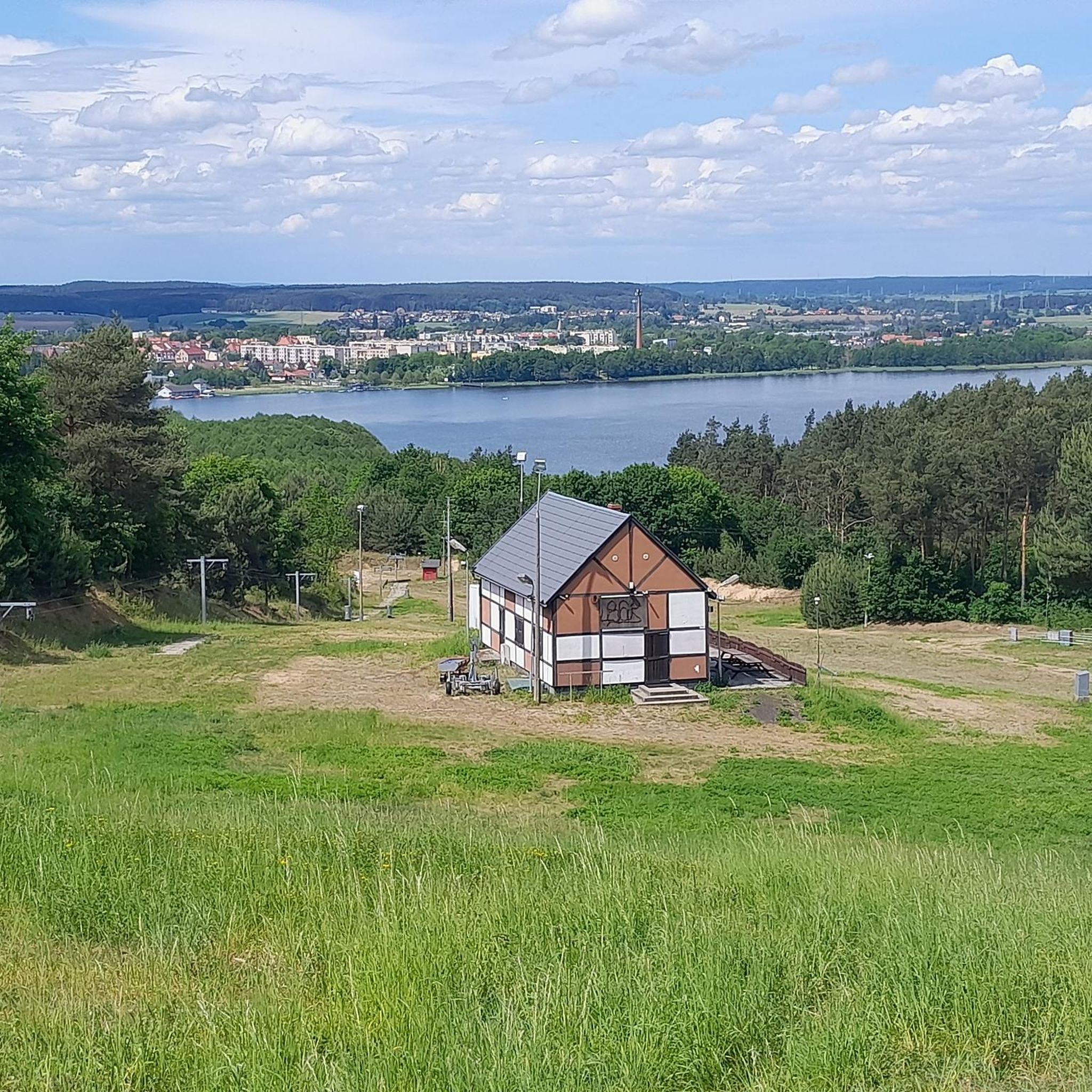
Hiking around Chodzież offers diverse terrain characterized by rolling hills, extensive forests, and a prominent lakeland environment. The region, often called "Chodzieska Switzerland," features three main lakes and deep valleys covered with mature beech forests. Mount Gontyniec, at 192 meters above sea level, is the highest point in northern Poland and a significant landmark. The landscape provides a variety of natural features for outdoor exploration.
Best hiking trails around Chodzież
- The most popular hiking route is Lovers' Bridge loop from…
Last updated: August 20, 2026
5.0
(29)
139
hikers
6.52km
01:41
30m
30m
Easy hike. Great for any fitness level. Easily-accessible paths. Suitable for all skill levels.
5.0
(23)
128
hikers
5.83km
01:30
20m
20m
Easy hike. Great for any fitness level. Easily-accessible paths. Suitable for all skill levels.

Sign up for free
5.0
(2)
24
hikers
8.05km
02:14
140m
140m
Moderate hike. Good fitness required. Easily-accessible paths. Suitable for all skill levels.
9
hikers
8.13km
02:07
50m
50m
Moderate hike. Good fitness required. Easily-accessible paths. Suitable for all skill levels.
9
hikers
13.0km
03:31
180m
180m
Moderate hike. Good fitness required. Easily-accessible paths. Suitable for all skill levels.
6
hikers
Easy hike. Great for any fitness level. Easily-accessible paths. Suitable for all skill levels.
5
hikers
4.44km
01:09
20m
20m
Easy hike. Great for any fitness level. Easily-accessible paths. Suitable for all skill levels.
6
hikers
Easy hike. Great for any fitness level. Easily-accessible paths. Suitable for all skill levels.
8
hikers
2.87km
00:45
20m
20m
Easy hike. Great for any fitness level. Easily-accessible paths. Suitable for all skill levels.
5
hikers
3.94km
01:03
40m
40m
Easy hike. Great for any fitness level. Easily-accessible paths. Suitable for all skill levels.
Get access to more routes and recommendations from other explorers.
Sign up for free
Already have an account?
Our route recommendations are based on thousands of hikes, rides, and runs completed by other people on komoot.
Start today with a free account
Your next adventure awaits.
Login or Signup
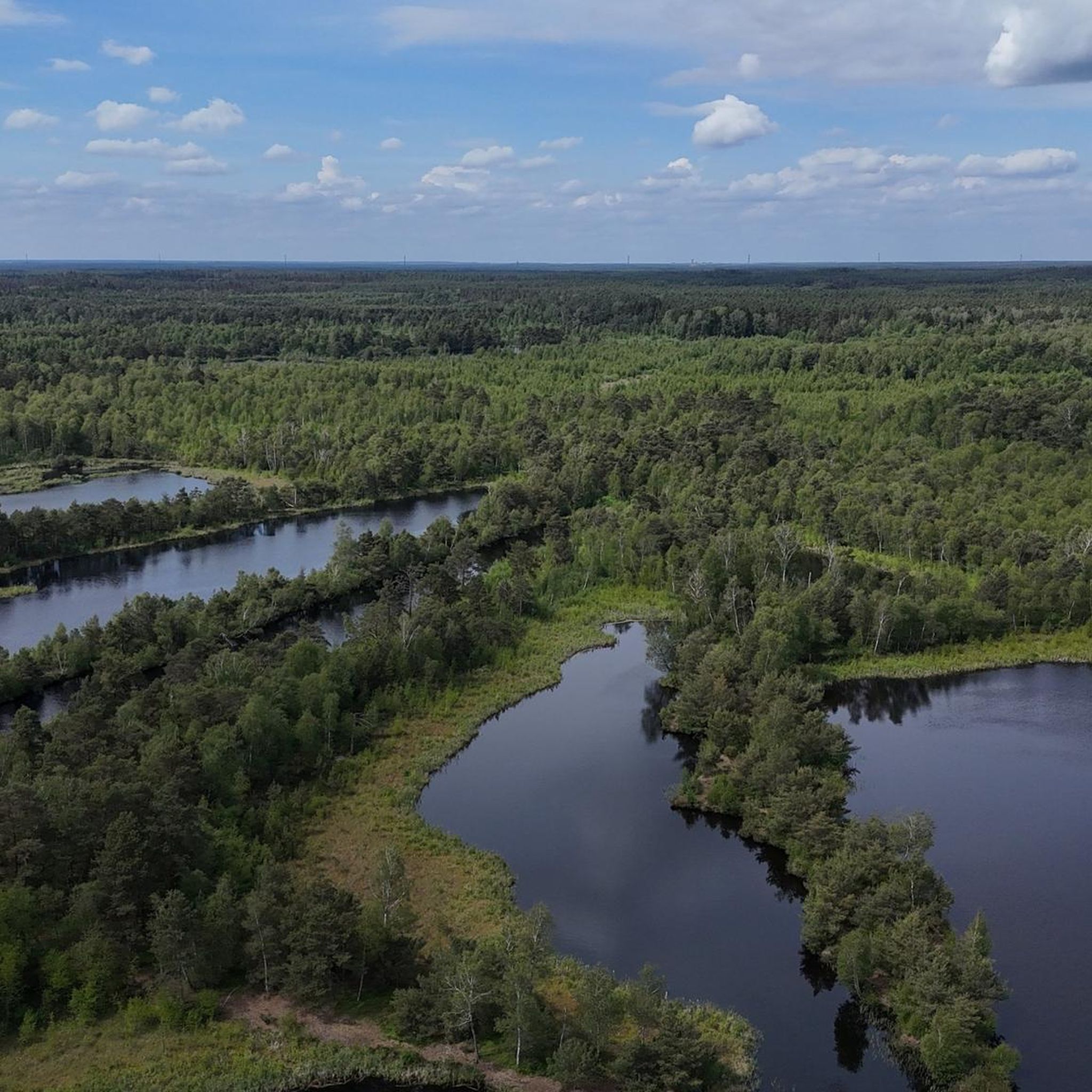

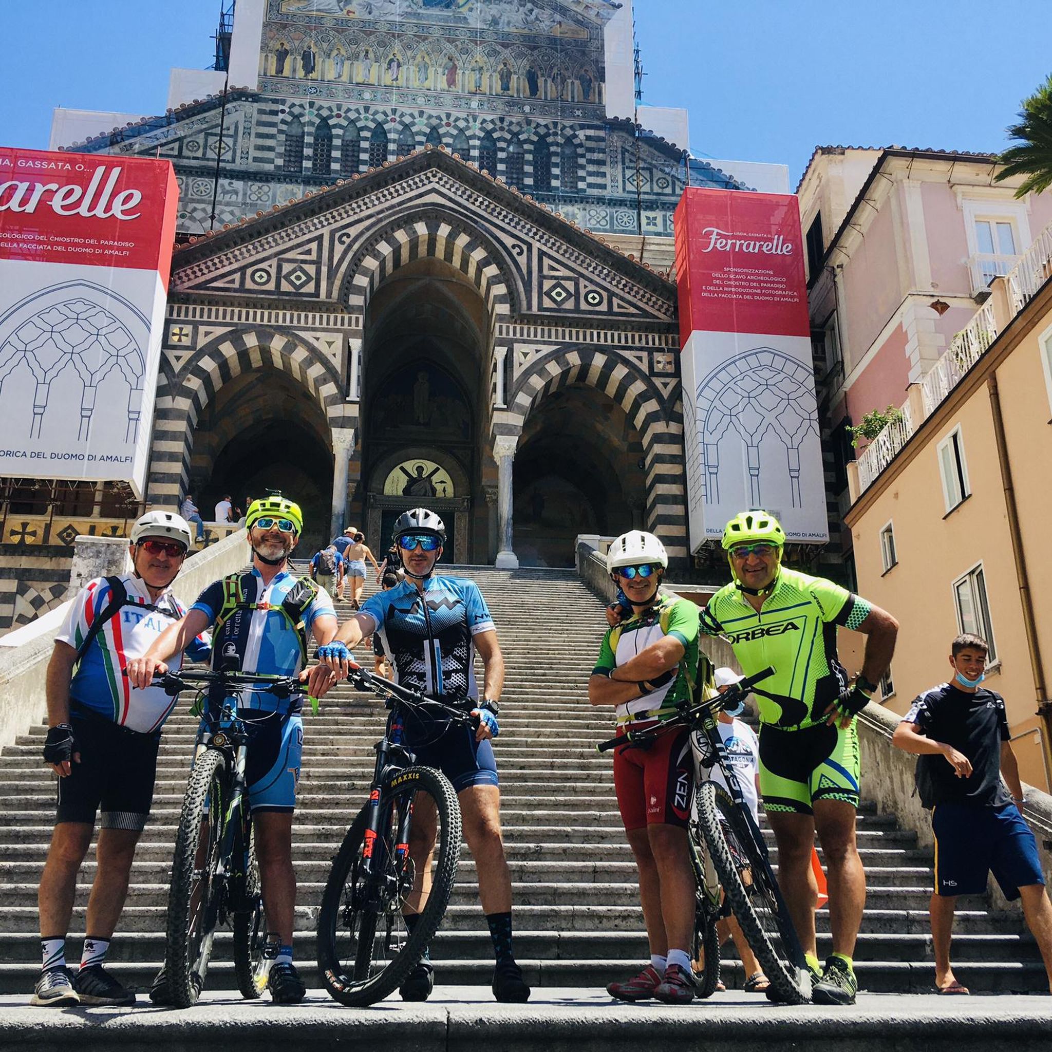
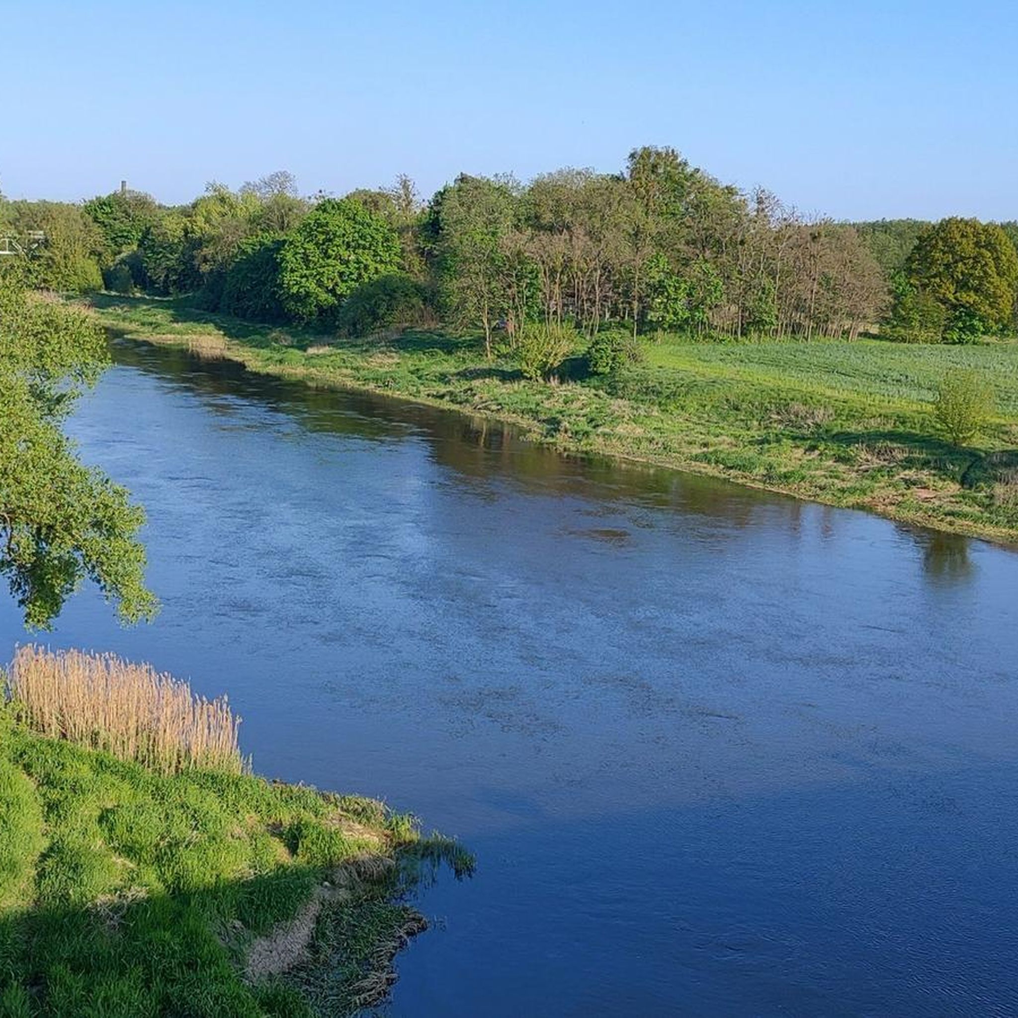
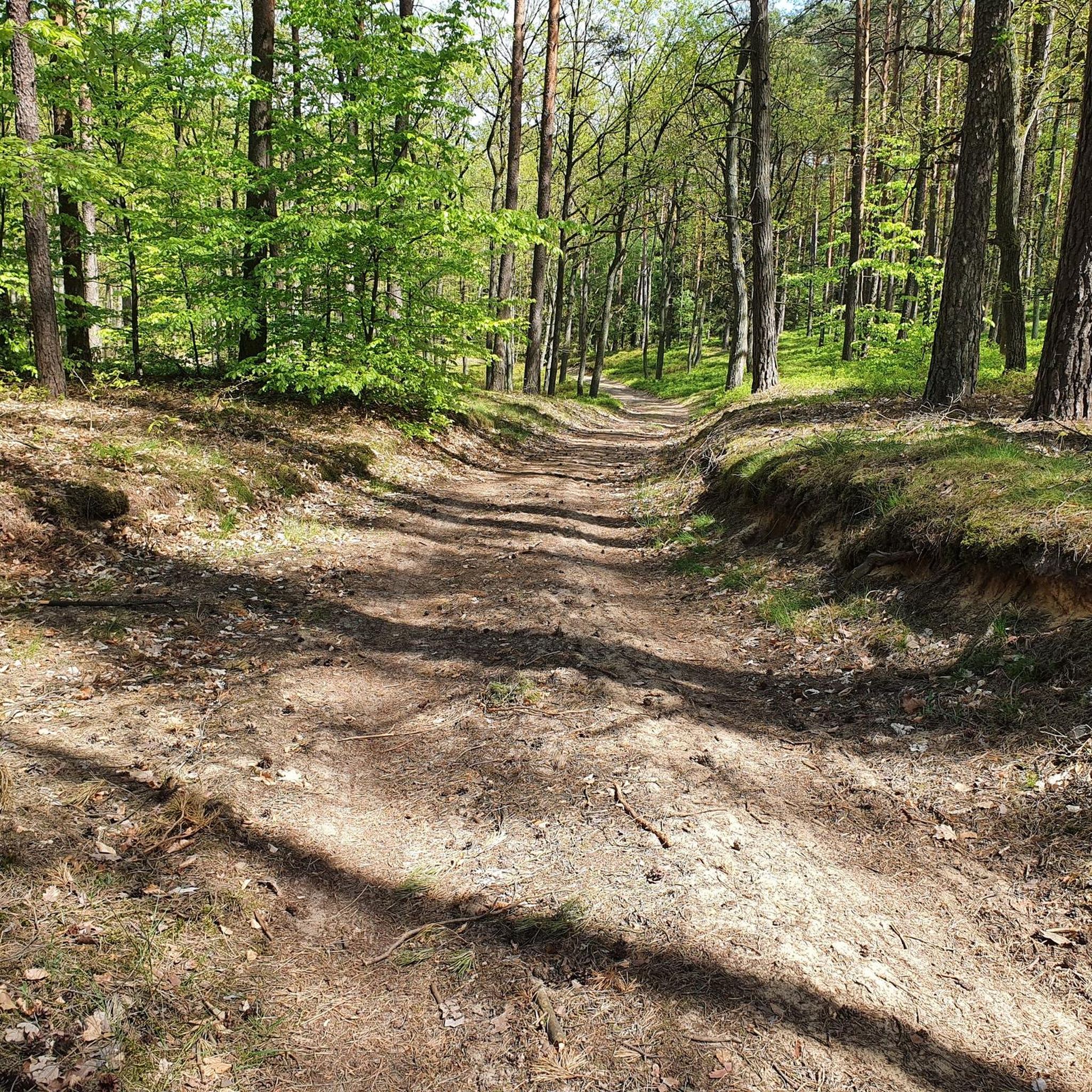
Tips from the Community

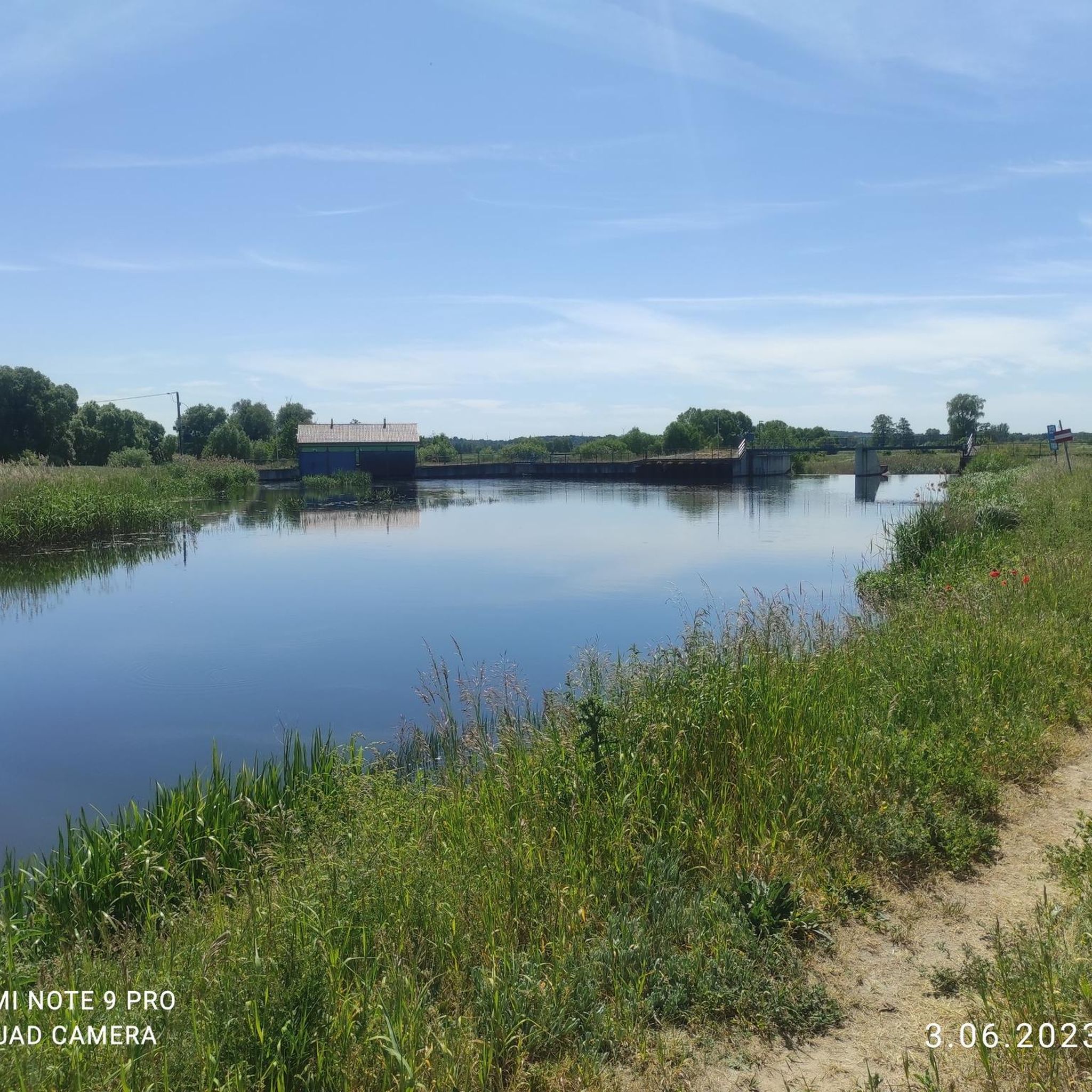
street Strzelecka. An additional attraction is the Jazz Stars Avenue located on this street
0
0
Accessible 24 hours a day by bike or on foot
0
0

At the lake there is a good hotel with a restaurant with a lakeside terrace.
0
0
Frequently Asked Questions
What kind of terrain can I expect when hiking in Chodzież?
Chodzież, often called "Chodzieska Switzerland," offers a diverse landscape characterized by rolling hills, extensive forests (including mature beech forests), and a prominent lakeland environment with three main lakes: Miejskie, Strzeleckie, and Karczewnik. You'll encounter deep valleys, ridges, and significant landmarks like Mount Gontyniec, the highest peak in northern Poland.
Are there hiking trails for all skill levels in Chodzież?
Yes, Chodzież provides a wide array of hiking paths suitable for various fitness levels. You'll find over 60 easy routes, around 30 moderate trails, and a few more challenging options, ensuring there's something for everyone from leisurely strolls to more strenuous treks.
Are there family-friendly hiking trails in Chodzież?
Absolutely. Many trails in Chodzież are suitable for families. For an easy and pleasant walk, consider the Playground With Gazebo loop from Chodzież, which is under 5 km and has minimal elevation gain, perfect for younger hikers.
What are some notable natural landmarks or viewpoints to see while hiking?
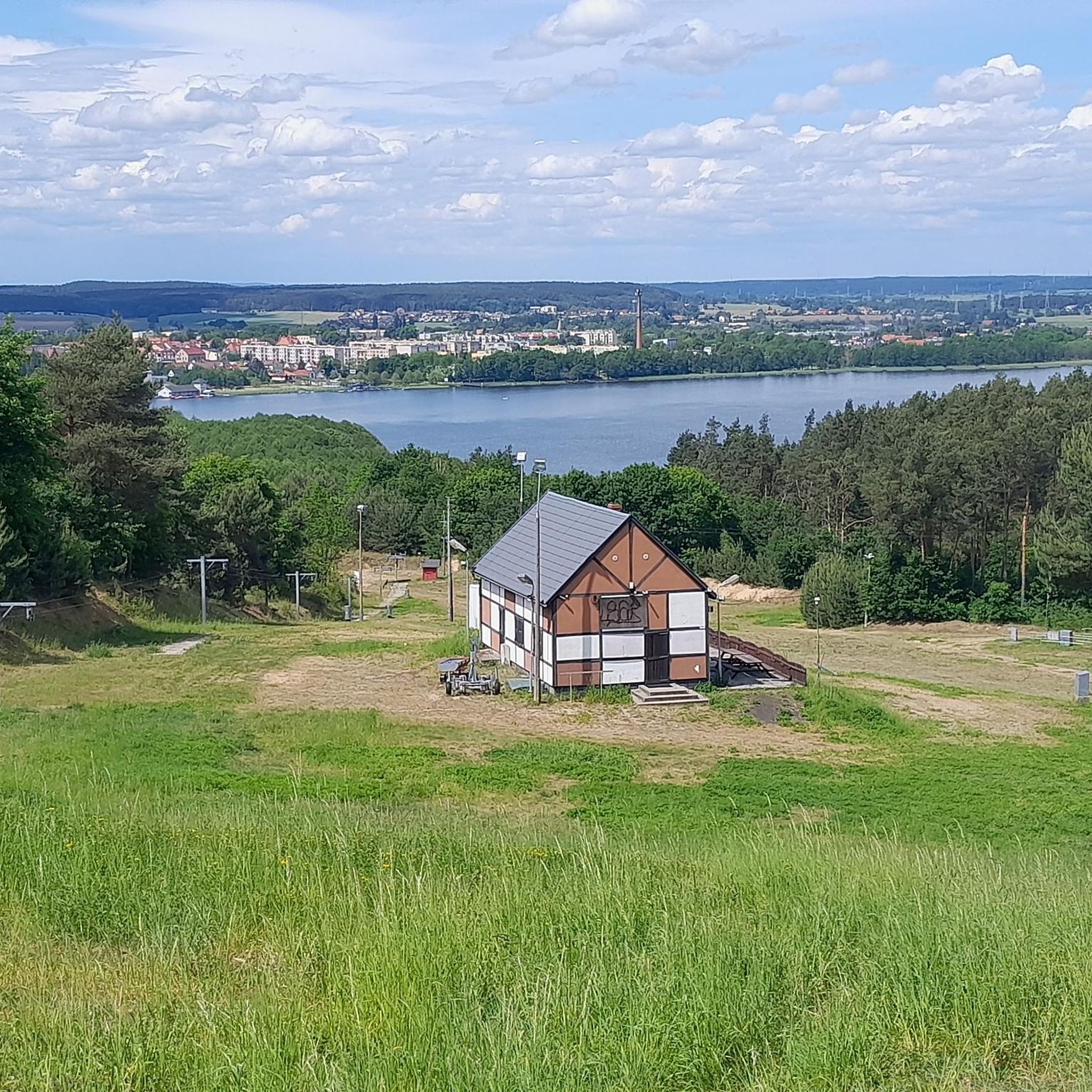
Mount Gontyniec is a significant natural landmark, rising 192 meters above sea level and offering impressive views from its slopes. While the fire observation tower at its summit is not accessible, the mountain itself is a major attraction. You can find the Gontyniec Summit as a highlight. Additionally, near Milcz, hikers can enjoy beautiful views of the Noteć River valley.
Are there any circular hiking routes in Chodzież?
Yes, Chodzież has several circular routes. A popular option is the Rest Area by the Lake – Strzeleckie Lake loop from Chodzież, which is a moderate 8.1 km trail offering scenic views around Strzeleckie Lake.
What is the best time of year to go hiking in Chodzież?
The region is beautiful year-round, but spring and autumn offer particularly pleasant conditions for hiking with mild temperatures and vibrant foliage. The extensive forests are rich in mushrooms and forest fruits during late summer and autumn. Even winter hiking is possible, with Talerz Hill transforming into a ski slope.
Are dogs allowed on the hiking trails in Chodzież?
Generally, dogs are welcome on hiking trails in Chodzież's forests and natural areas. However, it's always recommended to keep them on a leash, especially in protected areas or near wildlife, and to clean up after them. Specific rules might apply in certain nature reserves, so check local signage.
Where can I find parking for hiking trails in Chodzież?
Parking is generally available near popular trailheads and recreational areas around Chodzież, especially close to the lakes and forest entrances. Specific parking information for individual routes can often be found on detailed trail maps or komoot tour pages.
What do other hikers enjoy the most about hiking in Chodzież?
The area is highly rated by the komoot community, with an average score of 4.7 stars from over 70 reviews. Hikers often praise the diverse terrain, the tranquility of the extensive forests, and the picturesque views of the lakes and rolling hills that give the region its "Switzerland" moniker.
Are there any longer distance hiking options near Chodzież?
For those seeking longer treks, a yellow circular trail around Chodzież spans 19.6 km, taking over 5 hours to complete. There's also a red trail connecting Chodzież, Gontyniec, Papiernia, and Ujście, covering 22 km. The Wielkopolska National Park Trail is also accessible from the region, offering diverse terrains for extended hikes.
What attractions can I visit in Chodzież besides hiking?
Beyond hiking, Chodzież offers several interesting attractions. You can explore the Chodzież Market Square and St. Florian's Church. For those interested in history, the Wooden Church of St. Catherine in Potulice is a notable religious building nearby. The lakes also offer opportunities for water sports like yachting and kayaking.
Can I reach hiking trails in Chodzież using public transport?
Chodzież has local public transport options that can help you get closer to some trailheads, especially those within or on the outskirts of the town. For trails further afield, it's advisable to check local bus schedules or consider using a car to access more remote starting points.
Most popular routes around Chodzież
Most popular attractions around Chodzież

Get inspired with the komoot mobile app


Didn’t find what you were looking for?
Check out more Hikes throughout Chodzież below and find the perfect route in your destination.
Explore more
Browse the best Hikes in other regions.
