The best road cycling routes around Ostrzeszów
5.0
(26)
174
riders
30
rides
Road cycling routes around Ostrzeszów are characterized by the undulating terrain of the Ostrzeszów Hills, offering varied elevation changes. The region features prominent hills such as Kobyla Góra, the highest point in Wielkopolska at 284 meters above sea level, and Bałczyna at 278 meters. These natural features provide a mix of climbs and descents suitable for road cyclists. The landscape includes forested areas and open vistas, with established cycling paths like sections of the Trans-Greater Poland Cycling Route.
Best road…
Last updated: July 4, 2026
5.0
(4)
19
riders
29.9km
01:29
130m
130m
Moderate road ride. Great for any fitness level. Some segments of this route may be unpaved and difficult to ride.
5.0
(3)
11
riders
58.9km
02:34
350m
350m
Moderate road ride. Good fitness required. Mostly well-paved surfaces and easy to ride.

Sign up for free
12
riders
49.6km
02:25
210m
210m
Moderate road ride. Good fitness required. Some segments of this route may be unpaved and difficult to ride.
5.0
(13)
7
riders
51.6km
02:13
310m
310m
Moderate road ride. Good fitness required. Mostly well-paved surfaces and easy to ride.
5.0
(1)
6
riders
41.2km
01:44
160m
160m
Easy road ride. Great for any fitness level. Mostly well-paved surfaces and easy to ride.
5.0
(1)
6
riders
Easy road ride. Great for any fitness level. Mostly well-paved surfaces and easy to ride.
7
riders
38.6km
01:36
190m
190m
Easy road ride. Great for any fitness level. Mostly well-paved surfaces and easy to ride.
3
riders
88.3km
03:34
370m
370m
Moderate road ride. Good fitness required. Mostly well-paved surfaces and easy to ride.
5
riders
43.4km
01:45
240m
240m
Easy road ride. Great for any fitness level. Mostly well-paved surfaces and easy to ride.
4
riders
51.9km
02:04
250m
250m
Moderate road ride. Good fitness required. Mostly well-paved surfaces and easy to ride.
Get access to more routes and recommendations from other explorers.
Sign up for free
Already have an account?
Our route recommendations are based on thousands of hikes, rides, and runs completed by other people on komoot.
Start today with a free account
Your next adventure awaits.
Login or Signup
Popular around Ostrzeszów
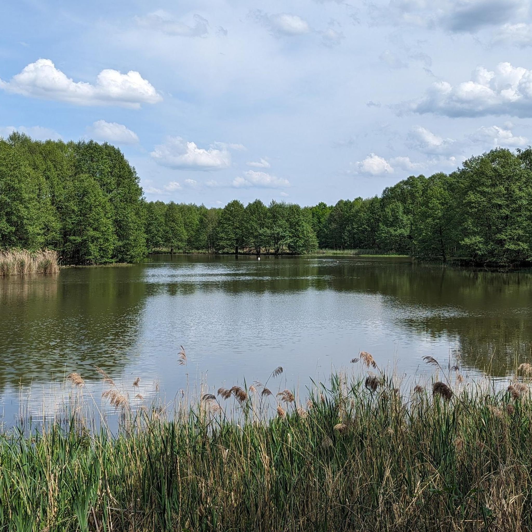
Road Cycling Routes around gmina Ostrzeszów
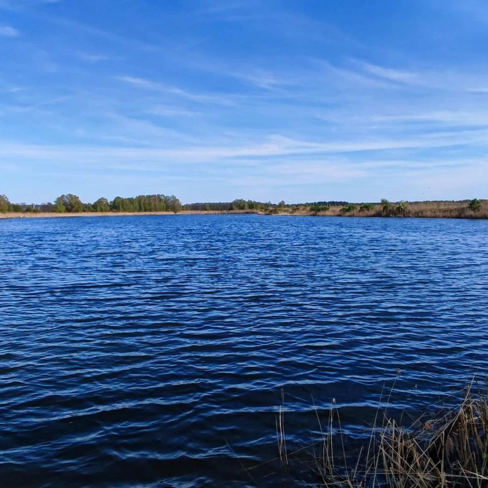
Road Cycling Routes around Doruchów
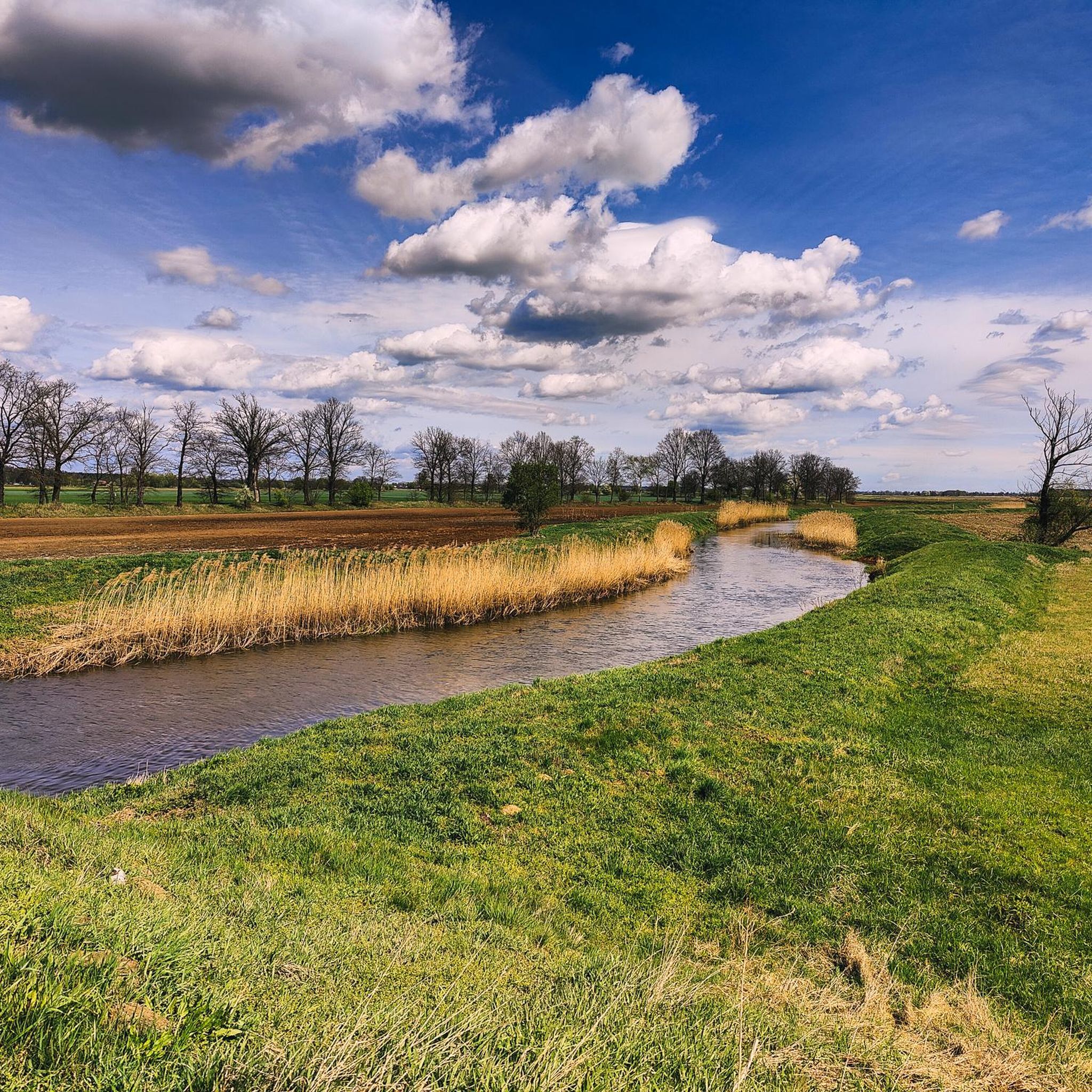
Road Cycling Routes around gmina Kobyla Góra
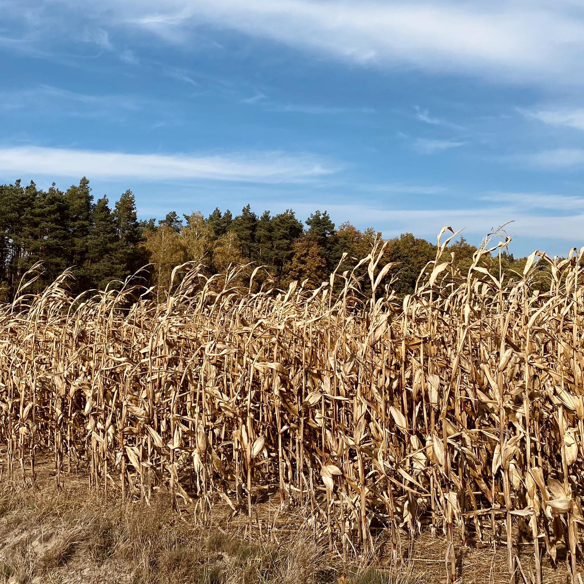
Road Cycling Routes around gmina Grabów nad Prosną
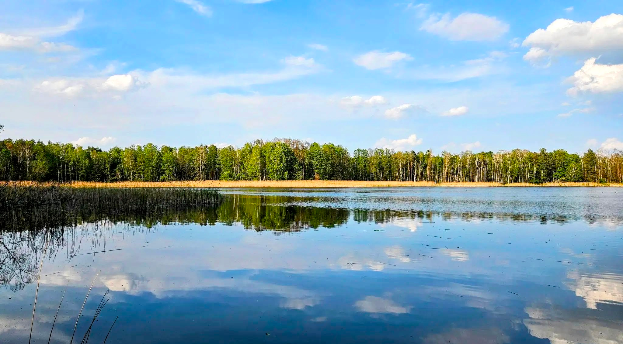
As Diverse as Greater Poland – Trans-Greater Poland Cycling Route (TTR)
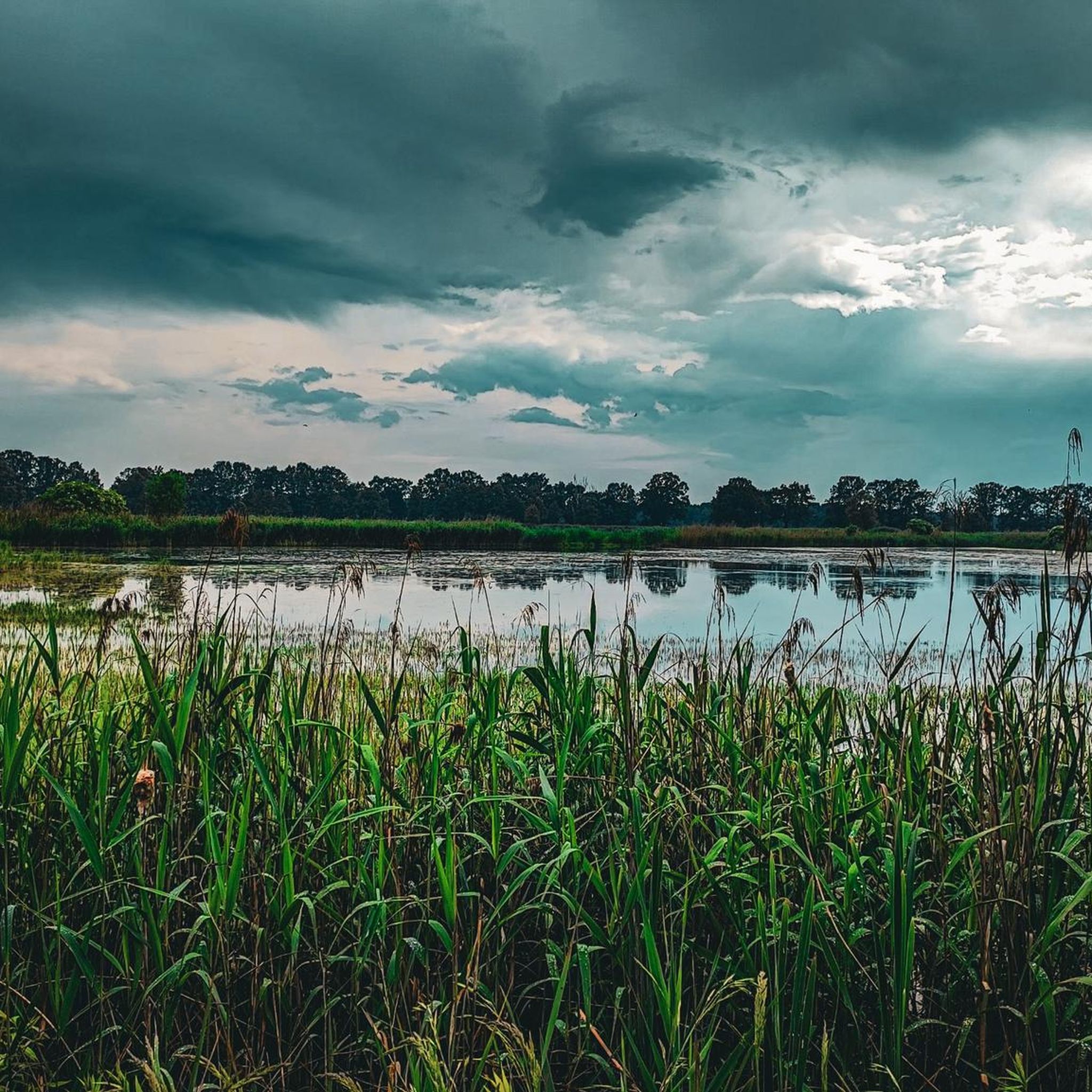
Cycling around Ostrzeszów
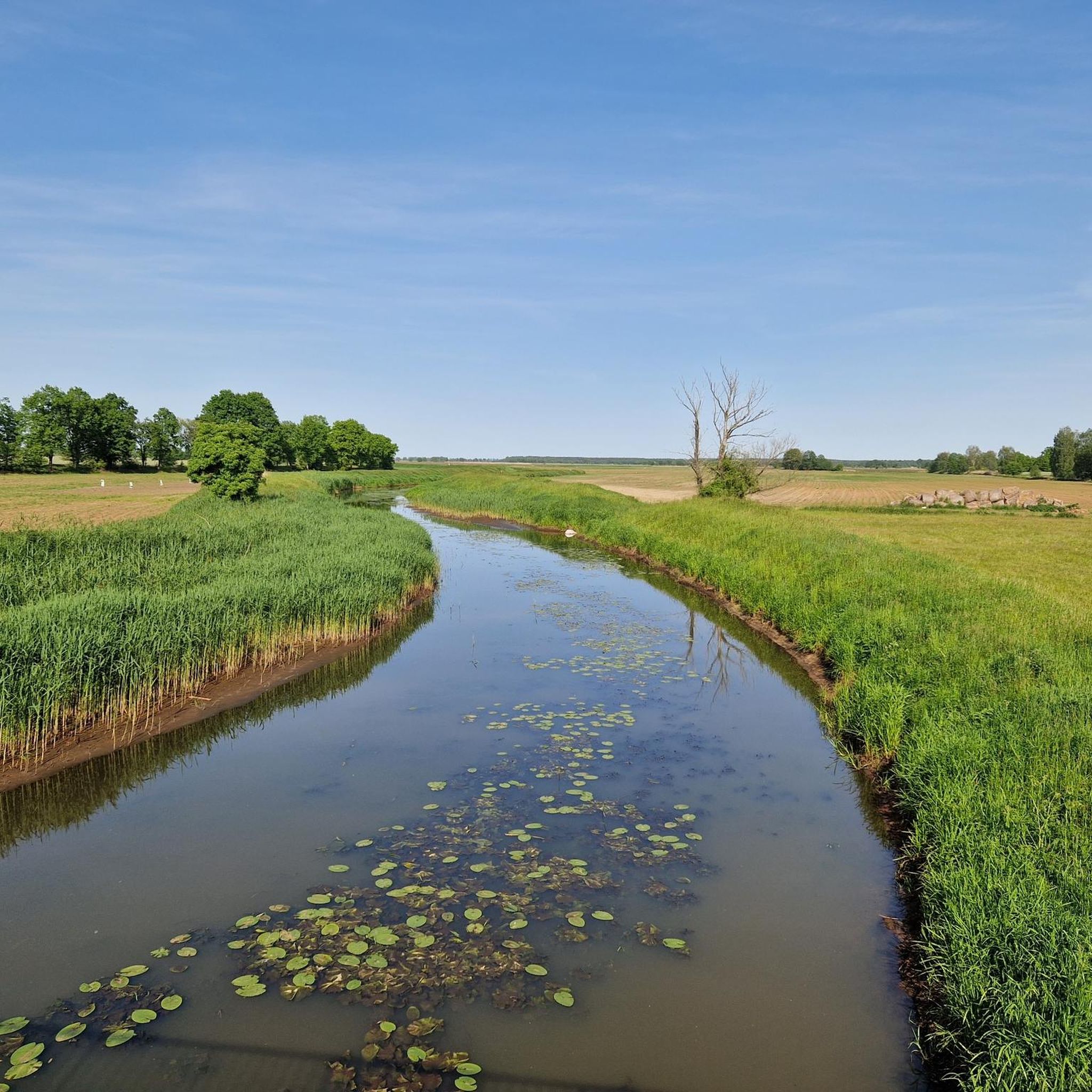
Hiking around Ostrzeszów
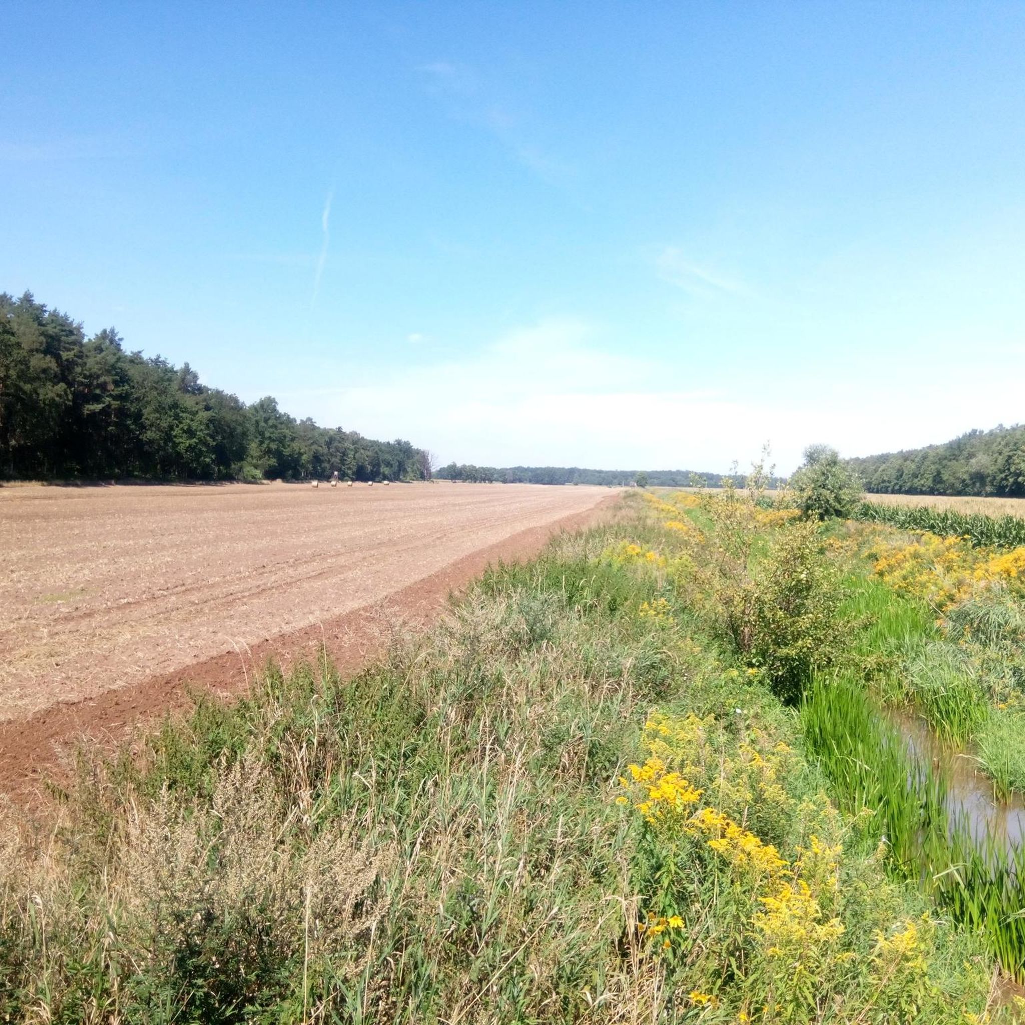
Running Trails around Ostrzeszów
MTB Trails around Ostrzeszów

Gravel biking around Ostrzeszów
Other adventures around Ostrzeszów

Tips from the Community

Despite a great trip from Cieszyn and a great section afterwards, the end "to the crossroads" was holey
0
0

Beautifully renovated in a beautiful setting
0
0
Very nice picturesque hilly route and ponds
0
0

nice asphalt road with very little car traffic.
0
0

The town hall is located in the middle of the Market Square and was built in 1840 on the foundations of an earlier one. The seat of the Civil Registry Office and the Władysław Golus Regional Museum. It is a two-story building erected on a rectangular plan, with an attic and basements. It is covered with a hipped roof made of red tiles. Cornices separate the floors from the outside. On the ridge of the roof there is a turret with a clock, topped with a tented roof with a spire. Barrel vaults have been preserved inside the town hall.
0
0
Very nice mural!
0
0

Bałczyna (often called Bełczyna) is the highest elevation of the Ostrzeszowskie Hills, rising to 278 m above sea level. It is a popular viewing point, from which, in good weather, you can even see the chimneys of the Bełchatów Power Plant. At the top, there is a monument to soldiers from 1939 and a stone table with the cardinal directions, which makes this place an attractive destination for trips. Over the years, Bełczyna has served as a place for rest, skiing, motocross and paragliding. There are three trails leading to the hill, including the Transwielkopolska Bicycle Route - it is worth having an MTB, because the terrain can be varied.
2
0
The Hunting Palace of the Radziwiłł Princes in Antonin is a unique monument in southern Wielkopolska, known for its characteristic wooden architecture and picturesque location. Surrounded by a large park with a fountain, it originally served as a hunting residence for the Radziwiłł family. Today, it houses a museum and cultural center, and its interiors are used for concerts, exhibitions, and cultural events.
3
0
Frequently Asked Questions
How many road cycling routes are available in Ostrzeszów?
There are nearly 30 road cycling routes around Ostrzeszów, offering a variety of experiences. You'll find 12 easy routes and 15 moderate routes, ensuring options for different skill levels.
What kind of terrain can I expect on road cycling routes around Ostrzeszów?
The road cycling routes in Ostrzeszów are characterized by the undulating terrain of the Ostrzeszów Hills, which are the highest elevations in the Wielkopolska region. You can expect a mix of climbs and descents, with prominent hills like Kobyla Góra (284m) and Bałczyna (278m). The landscape includes forested sections, open countryside, and panoramic views from higher points.
Are there challenging road cycling routes with significant elevation gain?
Yes, the Ostrzeszów Hills provide routes with notable elevation gain. For instance, the Bałczyna Viewpoint – View of the Pond loop from Siedlików is a moderate 36.5-mile (58.8 km) path featuring over 345 meters of ascent, offering expansive views from the Bałczyna Viewpoint.
Are there easy road cycling routes suitable for beginners or families?
Absolutely. Ostrzeszów offers 12 easy road cycling routes. A good option for a more relaxed ride is the Reservoir and Beach in Lower Silesia loop from Syców, a 25.6-mile (41.2 km) trail through rolling hills and past the Stradomia Reservoir, which is often completed in about 1 hour 43 minutes.
What historical landmarks or points of interest can I see along the road cycling routes?
Ostrzeszów's routes can incorporate several historical and cultural sites. You might pass by the ruins of a 14th-century Gothic castle, the Bernardine cloister with St. Michael the Archangel's church, or the 15th-century Gothic parish church of the Assumption of Our Lady. The Former Bernardine Monastery Complex and St. Michael the Archangel Church in Ostrzeszów is a notable highlight. You can also visit the Regional Museum in the town hall for insights into local heritage.
Are there scenic viewpoints on the road cycling routes?
Yes, the Ostrzeszów Hills offer several scenic viewpoints. From Kobyla Góra, the highest point in Wielkopolska, you can enjoy panoramic views of the Ostrzeszów Land and even distant views of the Eastern Sudetes. Kobyla Góra also features the Greater Poland Jubilee Cross. The Bałczyna Viewpoint, accessible on routes like the Bałczyna Viewpoint – View of the Pond loop from Siedlików, also provides expansive vistas.
Are there circular road cycling routes available?
Many of the road cycling routes around Ostrzeszów are designed as loops, allowing you to start and end in the same location. An example is the Ostrzeszów - Castle – Scenic Forest Road loop from Ostrzeszów, which is 18.5 miles (29.8 km) and takes you through scenic forest roads.
Is there parking available near the starting points of road cycling routes?
Yes, Ostrzeszów and surrounding towns like Syców and Siedlików, which serve as starting points for many routes, generally offer parking options. It's advisable to check local parking regulations upon arrival, especially in town centers.
What do other road cyclists enjoy the most about road cycling in Ostrzeszów?
The area is highly rated by the komoot community, with an average score of 5.0 stars from over 20 reviews. Cyclists often praise the varied terrain of the Ostrzeszów Hills, which provides engaging climbs and descents, as well as the scenic forested sections and open countryside that offer a diverse riding experience.
What is the best time of year for road cycling in Ostrzeszów?
The best time for road cycling in Ostrzeszów is typically from spring through early autumn (April to October). During these months, the weather is generally mild and pleasant, making for comfortable riding conditions. The forested areas provide shade in warmer months, and the views are particularly vibrant in spring and autumn.
Are there any routes that pass by the Stradomia Reservoir?
Yes, the Reservoir and Beach in Lower Silesia loop from Syców is one such route. It leads through rolling hills and directly past the Stradomia Reservoir, offering a scenic stop where you can enjoy the sandy beach and recreational facilities.
Most popular routes around Ostrzeszów
Most popular attractions around Ostrzeszów

Get inspired with the komoot mobile app


Didn’t find what you were looking for?
Check out more Road cycling routes throughout Ostrzeszów below and find the perfect route in your destination.
Explore more
Browse the best Road cycling routes in other regions.
