The best mountain hikes around Myślenice
4.9
(62)
361
hikers
22
hikes
Mountaineering routes around Myślenice traverse the picturesque Carpathian mountain ranges in the Lesser Poland Voivodeship. The region is characterized by extensive forested hills, scenic river valleys along the Raba River, and prominent peaks such as Chełm Mountain and Lubomir. These natural features provide a diverse landscape for mountaineering, ranging from challenging ascents to moderate trails.
Best mountaineering routes around Myślenice
- The most popular mountaineering route is Luboń Wielki (1,022 m) loop from Królewska Góra, a 4.7 miles (7.5 km)…
Last updated: October 17, 2026
4.6
(14)
91
hikers
Moderate mountaineering route. Good fitness required. Easily walkable paths.
5.0
(13)
54
hikers
7.97km
03:02
550m
550m
Moderate mountaineering route. Good fitness required. Mostly walkable paths. Sure-footedness required.

5.0
(7)
28
hikers
6.01km
02:03
310m
310m
Moderate mountaineering route. Good fitness required. Easily walkable paths.
5.0
(5)
26
hikers
4.10km
01:50
380m
380m
Moderate mountaineering route. Good fitness required. Easily walkable paths.
5.0
(2)
11
hikers
14.9km
04:37
510m
510m
Moderate mountaineering route. Good fitness required. Easily walkable paths.
5.0
(2)
14
hikers
4.63km
02:22
370m
370m
Hard mountaineering route. Good fitness required. Sure-footedness, sturdy shoes and alpine experience required.
5.0
(2)
10
hikers
9.45km
03:12
480m
470m
Moderate mountaineering route. Good fitness required. Easily walkable paths.
5.0
(1)
12
hikers
Moderate mountaineering route. Good fitness required. Easily walkable paths.
5.0
(1)
9
hikers
5.68km
01:59
320m
320m
Moderate mountaineering route. Good fitness required. Easily walkable paths.
5.0
(2)
9
hikers
Moderate mountaineering route. Good fitness required. Easily walkable paths.
Get access to more routes and recommendations from other explorers.
Already have an account?
Our route recommendations are based on thousands of hikes, rides, and runs completed by other people on komoot.
Start today with a free account
Your next adventure awaits.
Popular around Myślenice
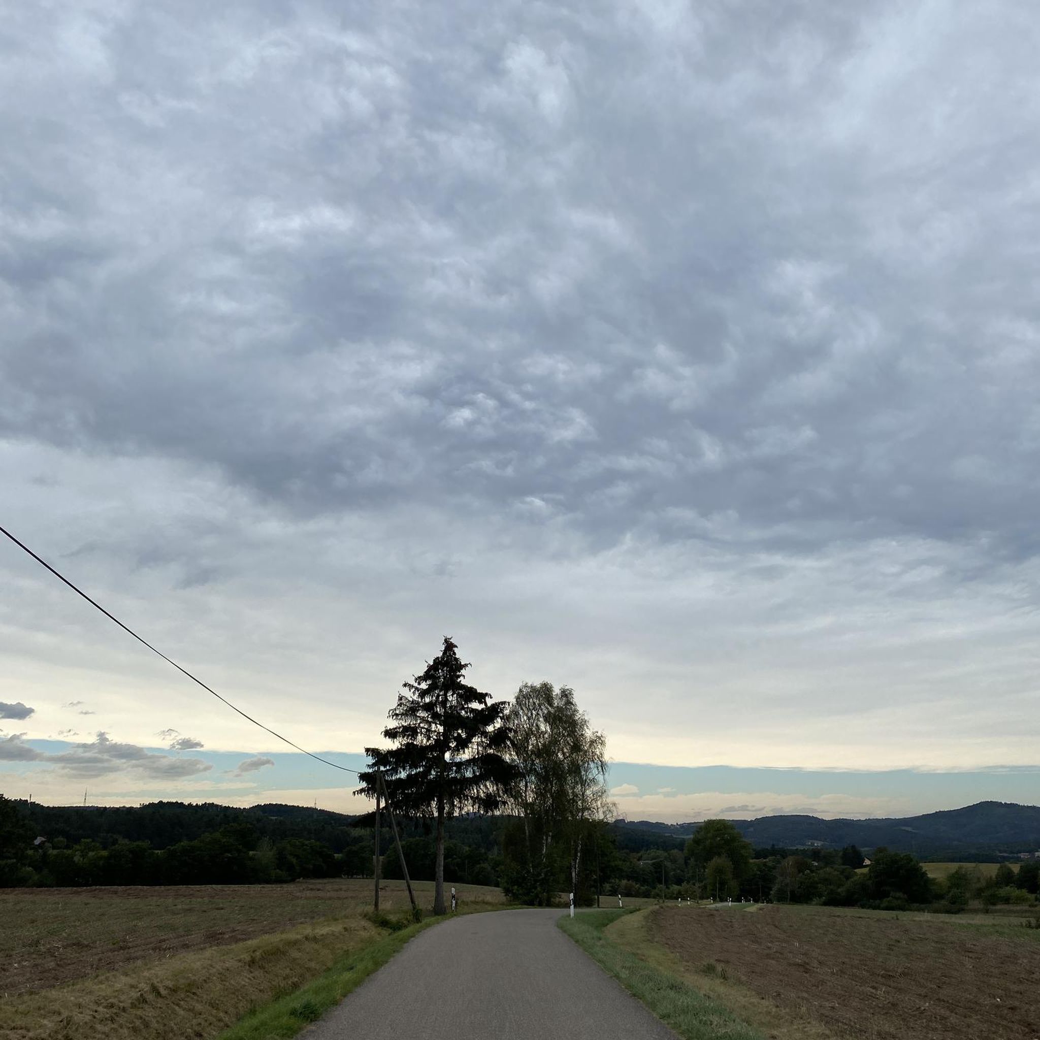
Mountain Hikes around Jodłownik

Mountain Hikes around gmina Lubień

Mountain Hikes around gmina Wiśniowa

Mountain Hikes around Pcim

Mountain Hikes around gmina Myślenice

Mountain Hikes around Raciechowice

Mountain Hikes around gmina Tokarnia

Hiking around Myślenice

Cycling around Myślenice

MTB Trails around Myślenice
Tips from the Community

For MTB, I suggest a loop from Myślenice through Chełm, Kamiennik, Kudłacze, Łysina, and Lubomir, back to Myślenice. It's a mountain trip with forest climbs, descents, and a few places to rest.
2
0

More information and photos: https://pl.wikipedia.org/wiki/Trzy_Kopce_(Pasmo_Lubomira_i_%C5%81ysiny) https://mapa-turystyczna.pl/node/trzy-kopce-1#49.77278/20.05110/16 https://rugala.pl/panoramy/939/trzy-kopce/ https://odtur.pl/atrakcje/pcim-trzy-kopce-894-m-n-p-m--59249.html https://malopolskatogo.pl/z-psem-na-lubomir-lysine-i-trzy-kopce/
2
0
More information and photos: https://pl.wikipedia.org/wiki/Kamiennik_P%C3%B3%C5%82nocny https://mapa-turystyczna.pl/node/kamiennik#49.79318/20.05477/16 https://bramabeskidow.pl/211-bramamyslenicka-kamiennik-polnocny-785-m-npm https://malopolska.szlaki.pttk.pl/2324-pttk-malopolska-kamiennik-polnocny https://kartaturysty.pl/malopolskie/kamiennik-polnocny/
2
0
More information and photos: https://kudlacze.pttk.pl/ https://mapa-turystyczna.pl/node/schronisko-pttk-na-kudlaczach#49.78242/20.02241/14 https://pl.wikipedia.org/wiki/Schronisko_PTTK_na_Kud%C5%82aczach https://narowery.visitmalopolska.pl/obiekt/-/poi/schronisko-pttk-kudlacze https://kgp.info.pl/obiekt/schronisko-pttk-na-kudlaczach/ https://korona-gor-polski.pl/schronisko/schronisko-pttk-kudlacze/ https://www.facebook.com/Schronisko.Kudlacze/
2
0
More information and photos: https://lato.sportarenamyslenice.pl/i/65/wieza-widokowa https://odtur.pl/atrakcje/myslenice-wieza-widokowa-na-gorze-chelm-kolo-myslenic-49910.html https://kartaturysty.pl/malopolskie/wieza-widokowa-chelm-sport-arena-myslenice/
2
0
More information and photos: https://pl.wikipedia.org/wiki/Che%C5%82m_(My%C5%9Blenice) https://lato.sportarenamyslenice.pl/ https://zima.sportarenamyslenice.pl/ https://myslenice.pl/dla-turysty/atrakcje-turystyczne/aktywny-wypoczynek https://myslenice.pl/dla-turysty/atrakcje-turystyczne/glowne-atrakcje https://wkolokrakowa.pl/chelm/ https://www.osrodekjura.pl/gora-chelm-myslenice-krotki-przewodnik-praktycznych-szlaki-wyciagi/ https://katalog.krakow.pl/2026/05/odkryj-magie-gory-chelm-i-spokojnej-dzielnicy-zarabie-w-myslenicach/ https://projektyprzygodowe.pl/rowerem-po-malopolsce-podjazd-na-gore-chelm/
2
0
More information and photos: https://pl.wikipedia.org/wiki/Prze%C5%82%C4%99cz_Sucha_(Pasmo_Lubomira_i_%C5%81ysiny) https://summitgo.eu/punkt-widokowy/przelecz-sucha https://mapa-turystyczna.pl/node/sucha-przelecz#49.23099/19.98302/14
2
0
More information and photos: https://pl.wikipedia.org/wiki/Lubomir_(szczyt) https://kgp.info.pl/wykaz-szczytow/lubomir/ https://mapa-turystyczna.pl/node/lubomir#49.76685/20.05940/14 https://goryaktywnie.pl/lubomir https://gorskim-szlakiem.pl/lubomir-latwy-szlak-na-szczyt-beskid-makowski/ https://plannawypad.pl/lubomir-szlak-beskid-makowski/
2
0
Frequently Asked Questions
What are the typical difficulty levels for mountaineering routes in Myślenice?
The mountaineering routes around Myślenice primarily feature moderate and difficult grades. Out of 24 available routes, 19 are classified as moderate, and 5 are considered difficult, offering a good range for various skill levels.
Are there any challenging routes for experienced mountaineers?
Yes, for experienced mountaineers seeking a challenge, routes like the View from Ćwilin – Śnieżnica Summit (1007 m) loop from Śnieżnica offer a demanding experience. This difficult route covers over 16 km with significant elevation gain.
Can beginners find suitable mountaineering routes in Myślenice?
While many routes are moderate, beginners can find suitable options. For instance, the Lubomir loop from Węglówka is a moderate 6.2 km path that explores the slopes of Lubomir, offering a good introduction to the region's terrain without being overly strenuous.
What natural landmarks or attractions can I discover on these routes?
The region is rich in natural features. You can explore prominent peaks like Lubomir (804 m), the highest peak of the Beskid Makowski, or ascend to Luboń Wielki Summit. The area also features unique geological formations such as the Stone Run on Luboń Wielki and the Zimna Dziura Cave, offering insights into the area's natural history.
Are there routes that offer panoramic views?
Absolutely. Many trails lead to panoramic vistas. The Viewpoint – Observation tower on Mount Chełm loop from Myślenice is specifically designed to highlight scenic spots, leading to an observation tower with expansive views. Peaks like Lubomir and Łysina also provide excellent viewpoints.
Are there mountain huts or shelters along the routes for resting?
Yes, the Kudłacze PTTK Mountain Hut is a well-known resting point, often integrated into hiking routes. You can find routes like the Kamiennik Północny – Kudłacze PTTK Mountain Hut loop from Poręba that include this hut, offering food and shelter.
What is the best time of year for mountaineering in Myślenice?
Myślenice offers outdoor activities year-round. While the extensive trail network is popular in warmer months, the region's ski center on Chełm Mountain also provides winter activities. For mountaineering, late spring to early autumn generally offers the most favorable weather conditions.
Are there family-friendly mountaineering routes in Myślenice?
While specific 'family-friendly' designations aren't always explicit for mountaineering, many moderate routes can be suitable for families with some hiking experience. The region's diverse terrain allows for choosing shorter, less strenuous paths, especially around areas like Chełm Mountain which has accessible facilities.
Are dogs allowed on the mountaineering routes around Myślenice?
Generally, dogs are welcome on many trails in the Myślenice region, especially in the forested hills. However, it's always advisable to keep them on a leash and check for any specific local regulations or protected areas that might have restrictions before heading out.
How accessible are the trailheads by public transport?
Myślenice itself is a regional hub, and some trailheads, particularly those closer to the town or villages like Węglówka, may be accessible by local bus services. For routes starting in more remote areas, personal transport might be more convenient. It's recommended to check local bus schedules for specific starting points.
Are there parking facilities available near the mountaineering routes?
Yes, parking facilities are typically available near popular trailheads and attractions in the Myślenice area. For example, routes starting from Myślenice town or near the Chełm Mountain ski center usually have designated parking areas. For more remote starting points, roadside parking might be an option, but always ensure it's permitted and safe.
What do other mountaineers enjoy the most about mountaineering in Myślenice?
The routes in Myślenice are highly rated by the komoot community, with an average score of 4.9 stars from over 50 reviews. Mountaineers often praise the diverse landscapes, from the picturesque Carpathian ranges and extensive forested hills to the scenic Raba River valley, as well as the well-maintained trails and the rewarding views from peaks like Lubomir and Chełm.
Are there any circular mountaineering routes available?
Yes, many of the mountaineering routes in Myślenice are designed as loops, offering a varied experience without retracing your steps. Examples include the Luboń Wielki (1,022 m) loop from Królewska Góra and the Lubomir loop from Węglówka, which are popular choices among the community.
Most popular routes around Myślenice
Most popular attractions around Myślenice

Get inspired with the komoot mobile app


Didn’t find what you were looking for?
Check out more Mountain Hikes & Routes throughout Myślenice below and find the perfect route in your destination.
Explore more
Browse the best Mountain Hikes & Routes in other regions.
