The 9 Most Amazing Peaks around Maroldsweisach
Best mountain peaks around Maroldsweisach are found within the Haßberge mountains, a low mountain range in Lower Franconia, Bavaria. This region is characterized by rolling hills, dense forests, and a rich history. The area offers a blend of natural beauty, historical sites, and recreational opportunities for visitors. It is known for its diverse landscapes and numerous well-marked footpaths.
Best mountain peaks around Maroldsweisach
- The most popular mountain peaks is Heldburg Fortress, a castle that houses the German Castle Museum…
Last updated: September 27, 2026
Heldburg Fortress
Highlight • Castle
Translated by Google •
Tip by

Bramberg Castle Ruins
Highlight • Castle
Showing Translation
Tip by

Sign up now to discover places like this
Get recommendations on the best single tracks, peaks, & plenty of other exciting outdoor places.
Haubeberg Summit (Communications Tower)
Highlight • Monument
Translated by Google •
Tip by

View of Bleßberg and the Lange Berge
Highlight • Viewpoint
Translated by Google •
Tip by
Nassacher Höhe (512.2 m)
Highlight • Summit
Translated by Google •
Tip by
Sign up for free to discover even more peaks around Maroldsweisach.
Already have an account?
Start today with a free account
Your next adventure awaits.

Other adventures around Maroldsweisach

Tips from the Community

You will pass by here as part of the HINTERINDIEN.DE tour no. 31.
0
0

A journey into history with lots of information on the panels.
11
0

At 512.2 m above sea level, the Nassacher Höhe is the highest mountain in the Haßberge mountain range on the Rennweg in the Haßberge district of Bavaria. It is located in the Franconian Haßberge Nature Park above Nassach, a district of Aidhausen. The summit lies within the municipality of Hofheim in Lower Franconia.
12
0
This beautifully designed seating area, created by wood sculptor Max Müller, is located on Burgstrasse, right next to the Victoria Rondell at the beginning of the footpath to the fortress, and is part of the children's play area. Beautifully designed and decorated with carvings, the space is not only an eye-catcher but also invites you to linger for a while.
12
0
In keeping with the artistically minded sovereign's philosophy, the theatrical element was not neglected in the design of this outdoor retreat. A small arbor was created on the Commandant's Building beneath a monumental scene depicting Saint George fighting his archenemy – the dragon. Since the 19th century, the Commandant's Building has been adorned with a monumental mural depicting Saint George with the dragon. It was commissioned by Duke George II, a likely coincidence in their names. Source: https://blog.thueringerschloesser.de/veranda-fuer-den-herzog/
12
0
The ruins of Bramberg Castle are located within the Haßberge Nature Park on the summit of the 494.3-meter-high Bramberg, an extinct volcanic cone of the Heldburg Gangschar, approximately 2 kilometers northwest of the village of Bramberg, a western district of Ebern, and about 5 kilometers (as the crow flies) northeast of the city of Königsberg in Bavaria. It is surrounded by the Goßmannsdorf Forest. Source and further information: https://de.wikipedia.org/wiki/Burg_Bramberg_(Ha%C3%9Fberge)
12
0
The "Tiefkeller Veste Heldburg (Heidenbaukeller)" (DE 5730-305) FFH area was proposed as a FFH area by the Thuringian Ministry of the Environment in June 2004 and reported to the EU Commission via the Federal Ministry for the Environment. Its inclusion in the list of sites of Community importance in the Continental Biogeographical Region was confirmed by the EU Commission in November 2007 (Official Journal of the European Union - EC No. L 12/383 of November 13, 2007). Source: (Official Journal of the European Union - EC No. L 12/383 of November 13, 2007).
16
0
Heldburg Fortress was a high medieval hilltop castle that was rebuilt in the 16th century as a Renaissance-style palace. It rises 113 meters above the town of Heldburg in the Heldburg region, the southernmost tip of the Hildburghausen district in Thuringia, on a 405-meter-high volcanic cone belonging to the former Heldburger Gangschar volcanic region. Founded in the 12th or 13th century, it has been called the "Franconian Light" since the 14th century due to its prominent location, a counterpart to the "Franconian Crown," the nearby Coburg Fortress. Heldburg Fortress is the only Thuringian fortress listed as a sight on the Castle Road. The French-style building of the fortress houses the German Castle Museum, which opened in September 2016. Source: https://de.m.wikipedia.org/wiki/Veste_Heldburg
12
0
Frequently Asked Questions
What are some of the most notable mountain peaks in the Maroldsweisach area?
The region around Maroldsweisach, nestled in the Haßberge mountains, offers several distinctive peaks. Among them are the Nassacher Höhe (512.2 m), the highest point in the Haßberge range, the historically significant Großer Knetzberg, and the unique Zeilberg, an extinct volcano with an interactive trail. Additionally, you can explore peaks topped with historical structures like Heldburg Fortress and Bramberg Castle Ruins.
Are there historical sites or castles on mountain peaks near Maroldsweisach?
Yes, the region is rich in history. You can visit Heldburg Fortress, a beautifully restored castle housing the German Castle Museum, offering panoramic views. Another significant historical site is Bramberg Castle Ruins, which is the highest ruin in the Haßberge Nature Park and provides incredible vistas. The Großer Knetzberg also holds historical importance as a former Celtic hilltop settlement.
Which mountain peaks are suitable for families with children?
The Zeilberg is an excellent choice for families. It features a 3.8-kilometer circular "Stein-Erlebnispfad" (Stone Experience Trail) with interactive stations, making learning about geology fun for all ages. The trail is also accessible with robust strollers. Both Heldburg Fortress and Bramberg Castle Ruins are also marked as family-friendly highlights, offering historical exploration and scenic views.
Can I find unique geological features among the peaks?
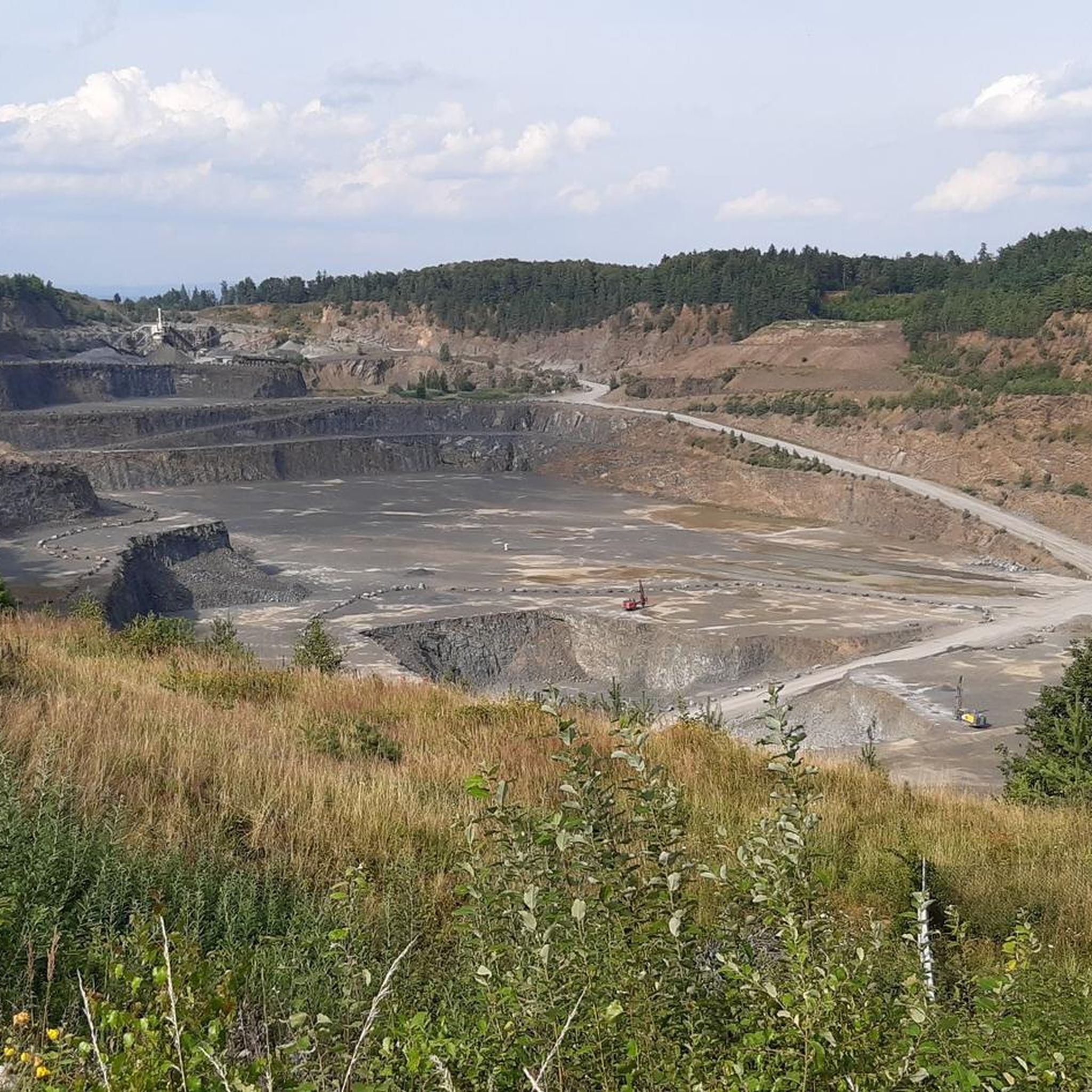
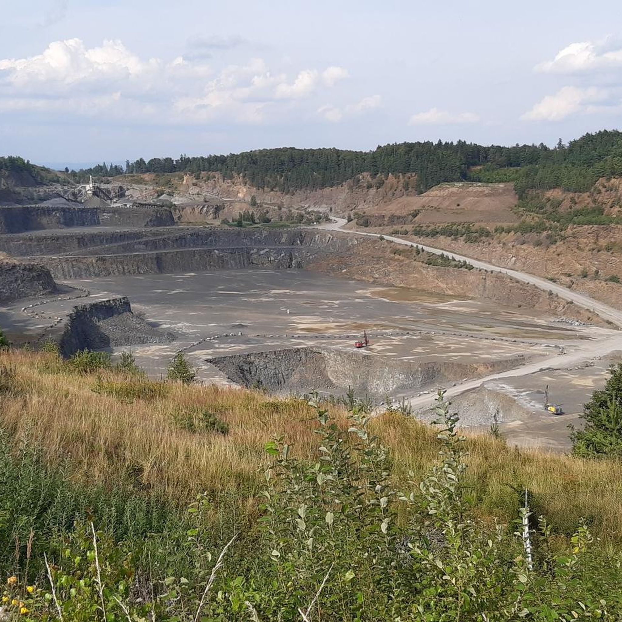
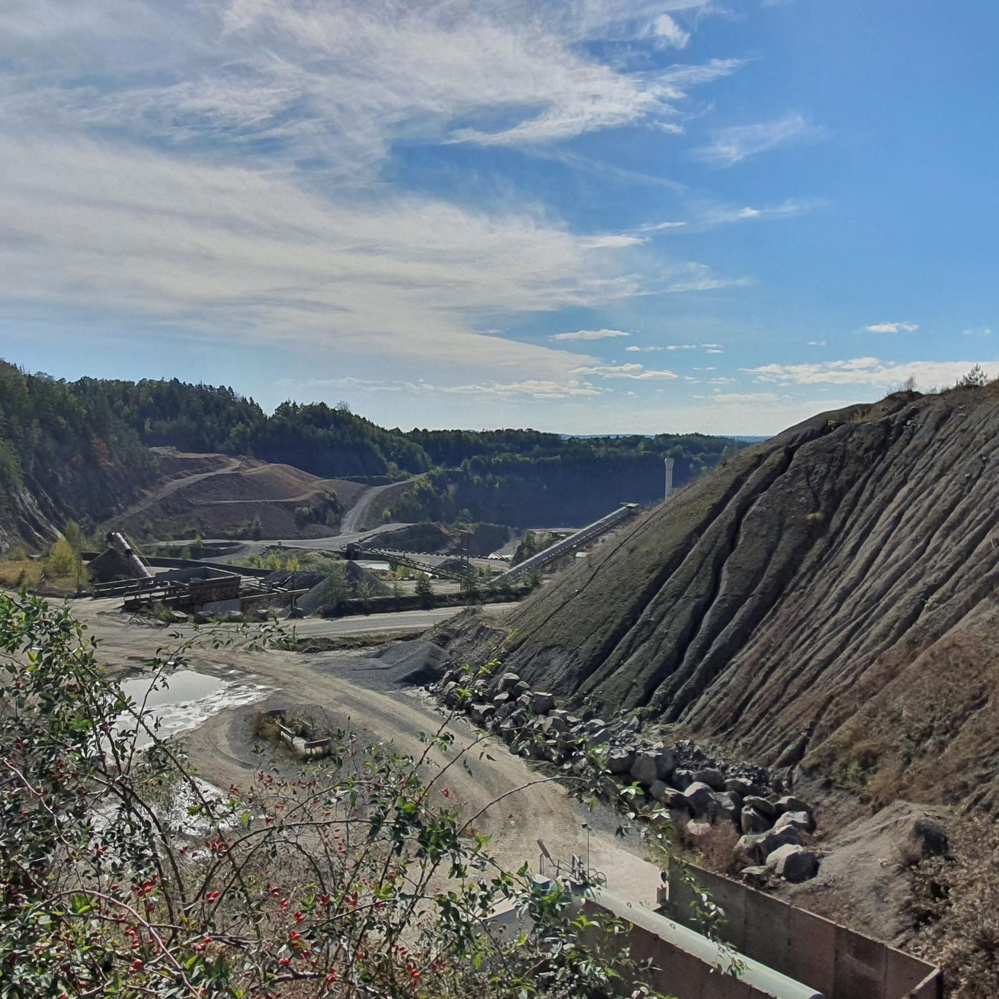
Absolutely. The Zeilberg is particularly notable as an extinct volcano, approximately 16 million years old, primarily composed of nephelinite. It features an active basalt quarry and the "Stein-Erlebnispfad" where you can learn about stones and geology. The Bramberg Castle Ruins are also situated on an extinct volcanic cone.
What kind of views can I expect from the mountain peaks?
Many peaks offer rewarding views. From the Zeilberg, you can enjoy panoramic vistas across the Haßberge region and as far as Thuringia. Heldburg Fortress provides extensive panoramic views of the Thuringian forest, the Rhön, the Haßberge, and the Frankenwald. The Bramberg Castle Ruins, being the highest ruin in the Haßberge, also offers incredible views. For a specific viewpoint, consider the View of Bleßberg and the Lange Berge, which offers a unique perspective of the Bleßberg summit and its observation tower.
Are there hiking opportunities near these peaks?
Yes, the Haßberge Nature Park, where these peaks are located, is crisscrossed with numerous well-marked footpaths. The Nassacher Höhe is part of the Rennweg, a historical trade route now popular for hiking. The Großer Knetzberg also has hiking trails along its ridge. For more hiking options, explore the Easy hikes around Maroldsweisach guide.
What other outdoor activities are available in the region?
Beyond hiking, the Maroldsweisach area is excellent for cycling. You can find various routes for different preferences, including MTB Trails and Road Cycling Routes. The extensive mixed forests and historical sites provide a diverse backdrop for outdoor adventures.
What is the highest peak in the Haßberge mountain range?
The highest peak in the Haßberge mountain range is the Nassacher Höhe, standing at 512.2 meters above sea level. It is located in the Franconian Haßberge Nature Park, above Nassach, and is part of the historic Rennweg.
Are there any places to eat or relax after a hike?
Yes, after exploring the Zeilberg, you can find a beer garden at its summit, offering a relaxing spot to enjoy typical Franconian delicacies. Additionally, Heldburg Fortress also features a restaurant, providing a convenient option for refreshments and meals.
What makes the Großer Knetzberg unique?
The Großer Knetzberg is unique for its historical significance as an important Celtic hilltop settlement, with archaeological findings suggesting its use as a fortified refuge. Geographically, it's an outlier of the Steigerwald, offering prominent views. The area is also rich in biodiversity, with a project discovering numerous beetle species, including the protected stag beetle.
What is the best time to visit the mountain peaks around Maroldsweisach?
The Haßberge region is beautiful year-round. Spring and autumn offer pleasant temperatures for hiking and vibrant natural colors. Summer is ideal for enjoying the beer garden on Zeilberg and longer days for exploration. Even in winter, some hiking trails are groomed, making it a worthwhile visit for snow-sure areas, especially around viewpoints like the Bleßberg observation tower.
Can I find easy hiking trails around Maroldsweisach's peaks?
Yes, the region offers many easy hiking options. The "Stein-Erlebnispfad" on the Zeilberg is a 3.8-kilometer circular trail suitable for all ages and even robust strollers. For more easy routes, you can refer to the Easy hikes around Maroldsweisach guide, which lists several accessible trails.
Most popular routes around Maroldsweisach
Most popular attractions around Maroldsweisach

Get inspired with the komoot mobile app


Explore more
See even more amazing summits around Maroldsweisach with these guides:
