The best walks and hikes around Zawiercie
4.8
(788)
10,334
hikers
151
hikes
Hiking around Zawiercie offers trails through the Jura Krakowsko-Czestochowska highlands, characterized by limestone island mountains and Karst landscapes. The region features diverse rock complexes, valleys, and the source of the Warta River. Hikers can explore natural reserves and historical sites within this varied terrain. The area provides a range of elevations suitable for different activity levels.
Best hiking trails around Zawiercie
- The most popular hiking route is Route through the marshes on the White Przemsza River (loop from Bledowo): Eagles'…
Last updated: July 8, 2026
5.0
(2)
21
hikers
Moderate hike. Good fitness required. Easily-accessible paths. Suitable for all skill levels.
4.7
(3)
15
hikers
Easy hike. Great for any fitness level. Easily-accessible paths. Suitable for all skill levels.

Sign up for free
5.0
(1)
53
hikers
Easy hike. Great for any fitness level. Easily-accessible paths. Suitable for all skill levels.
4.5
(6)
65
hikers
4.95km
01:23
100m
100m
Easy hike. Great for any fitness level. Easily-accessible paths. Suitable for all skill levels.
5.0
(5)
58
hikers
8.37km
02:25
190m
190m
Moderate hike. Good fitness required. Easily-accessible paths. Suitable for all skill levels.
4.9
(8)
41
hikers
7.29km
02:04
140m
140m
Moderate hike. Good fitness required. Easily-accessible paths. Suitable for all skill levels.
4.7
(9)
55
hikers
19.1km
04:51
50m
50m
Moderate hike. Good fitness required. Easily-accessible paths. Suitable for all skill levels.
4.8
(5)
46
hikers
5.88km
01:38
110m
110m
Easy hike. Great for any fitness level. Easily-accessible paths. Suitable for all skill levels.
5.0
(3)
38
hikers
5.95km
01:39
110m
110m
Easy hike. Great for any fitness level. Easily-accessible paths. Suitable for all skill levels.
4.5
(2)
27
hikers
13.7km
03:43
190m
190m
Moderate hike. Good fitness required. Easily-accessible paths. Suitable for all skill levels.
Get access to more routes and recommendations from other explorers.
Sign up for free
Already have an account?
Our route recommendations are based on thousands of hikes, rides, and runs completed by other people on komoot.
Start today with a free account
Your next adventure awaits.
Login or Signup
Other adventures around Zawiercie


Tips from the Community


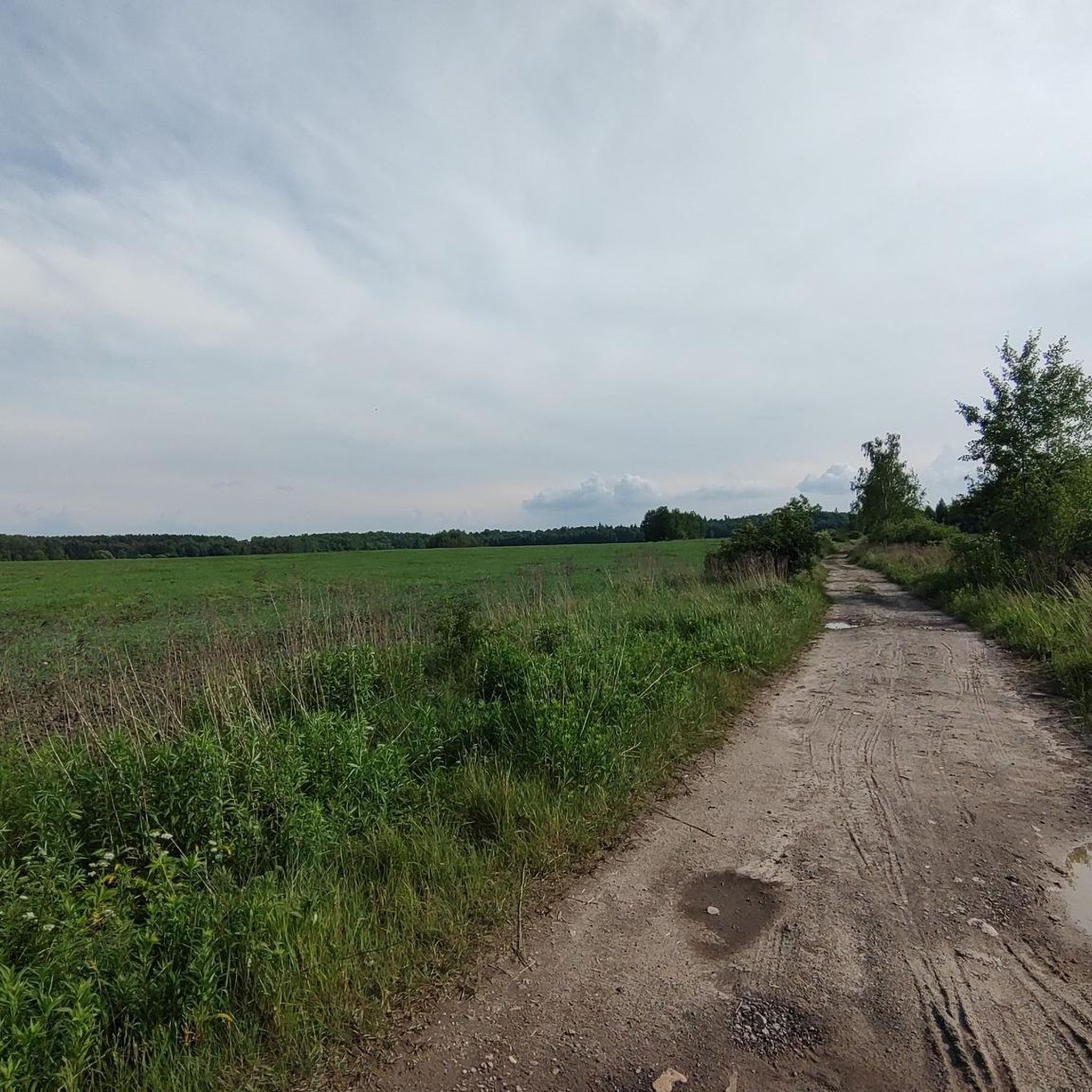
Blue trail, which allows for a 6 km hiking loop around Ogrodzieniec Castle. For those who want to move their butts from under the castle stalls. A very pleasant and picturesque route through the fields and forests of Jura.
0
1
This is the so-called "Jurassic Trail", a red hiking trail that allows for a 6 km loop walk around Ogrodzieniec Castle. You start from the Winnica Poziom 511. A very picturesque and pleasant trail for those who want to see something more than the stalls below the castle...
1
0
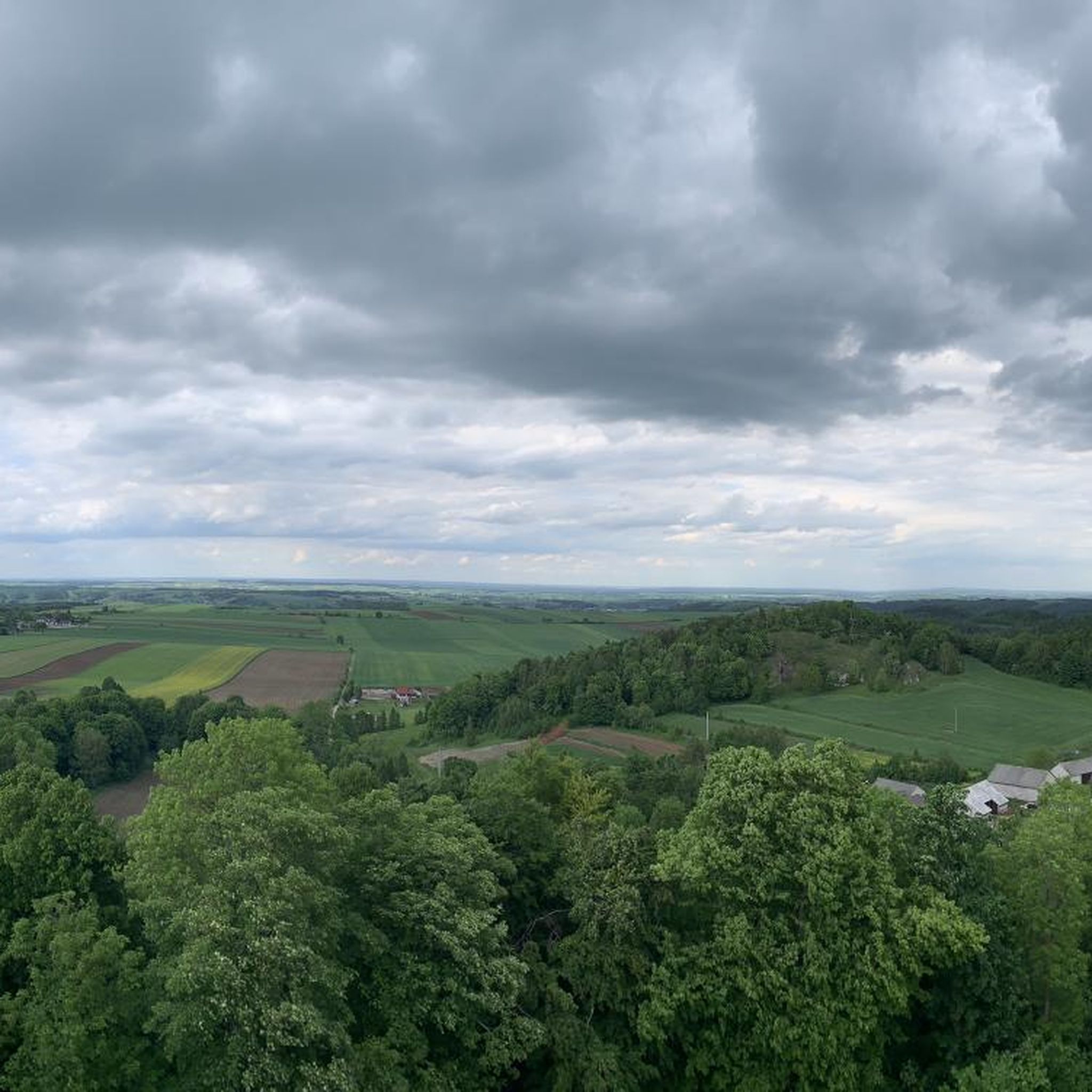
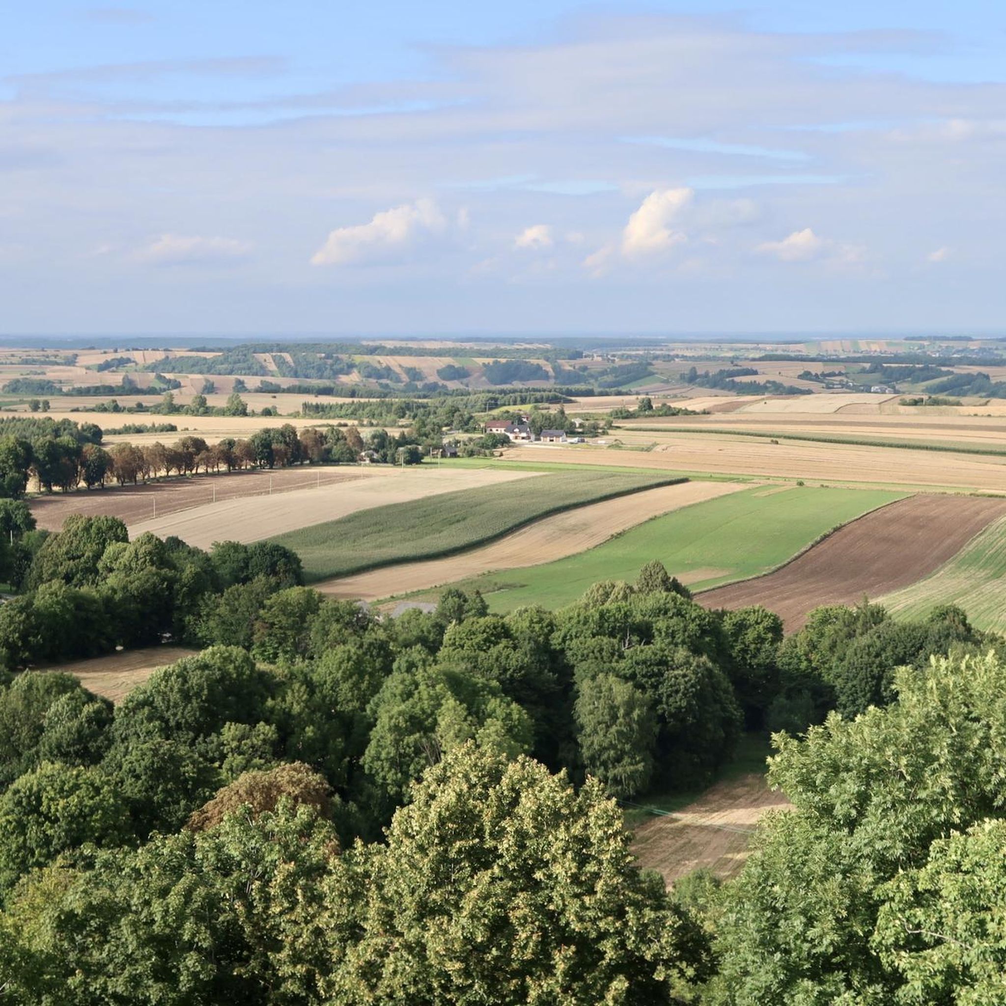
Góra Zamkowa, the highest point of the Krakow-Częstochowa Upland (516 m a.s.l.), offers magnificent views, reaching as far as the Carpathians in good weather. At the summit, there is a SPA hotel, and at the foot, the majestic ruins of Ogrodzieniec Castle. This hill is a popular spot for rock climbers, offering various routes on picturesque rocks. There are also numerous caves hidden on its slopes.
1
0


Castle Hill (or Janowski Hill) is the highest peak in the Kraków-Częstochowa Upland, at 516 meters. The highest point is Czubatka Rock – if you're a mountaineer, you might want to climb it, but otherwise, I wouldn't recommend it; you'll just have to sit and admire it from below. The views from the top are beautiful, overlooking Podzamcze and, of course, the ruins of Ogrodzieniec Castle below.
1
0
Frequently Asked Questions
How many hiking trails are available around Zawiercie?
There are over 120 hiking routes in the Zawiercie area, catering to various skill levels. You'll find a mix of easy, moderate, and a few more challenging trails to explore the Jura Krakowsko-Czestochowska highlands.
What kind of terrain can I expect on hikes near Zawiercie?
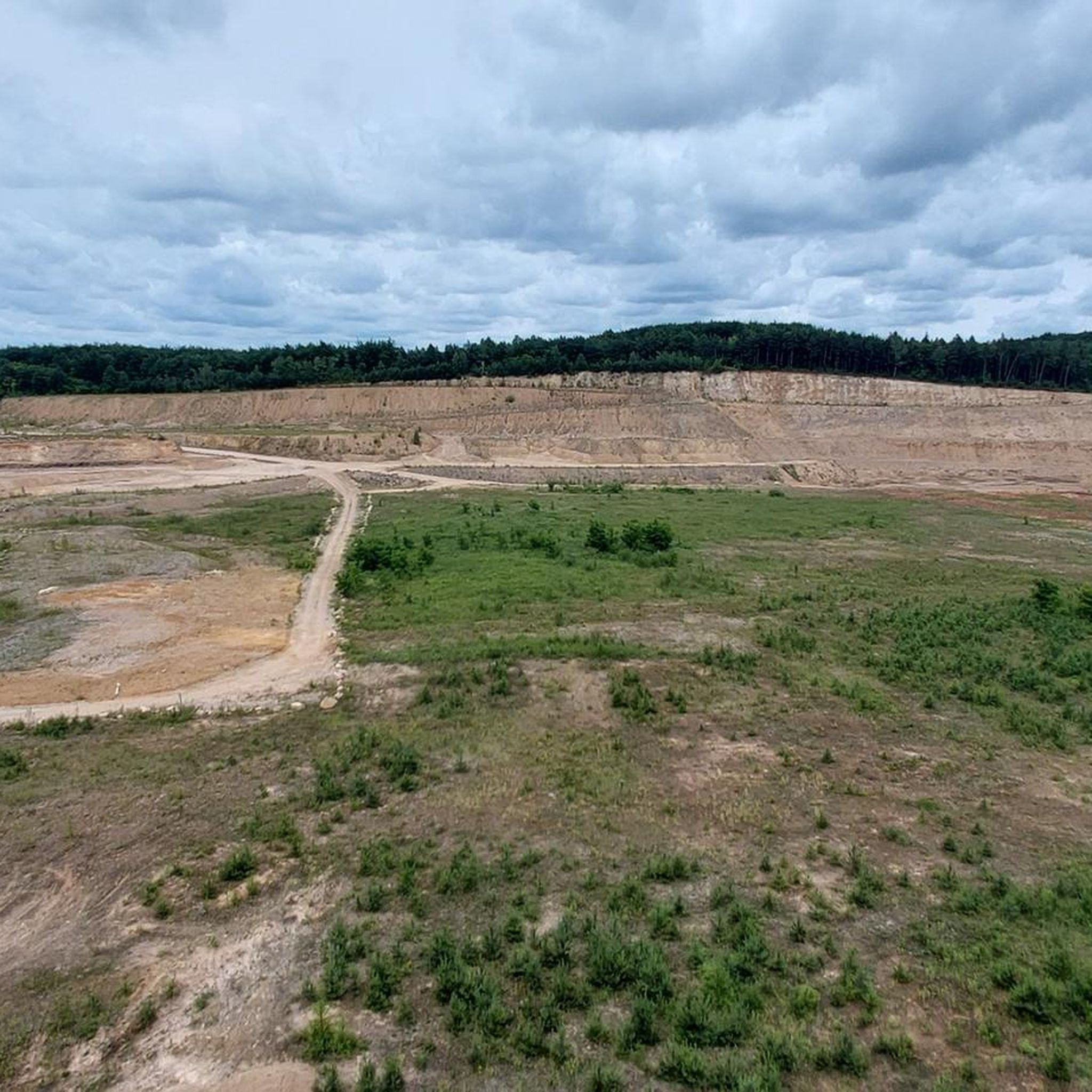
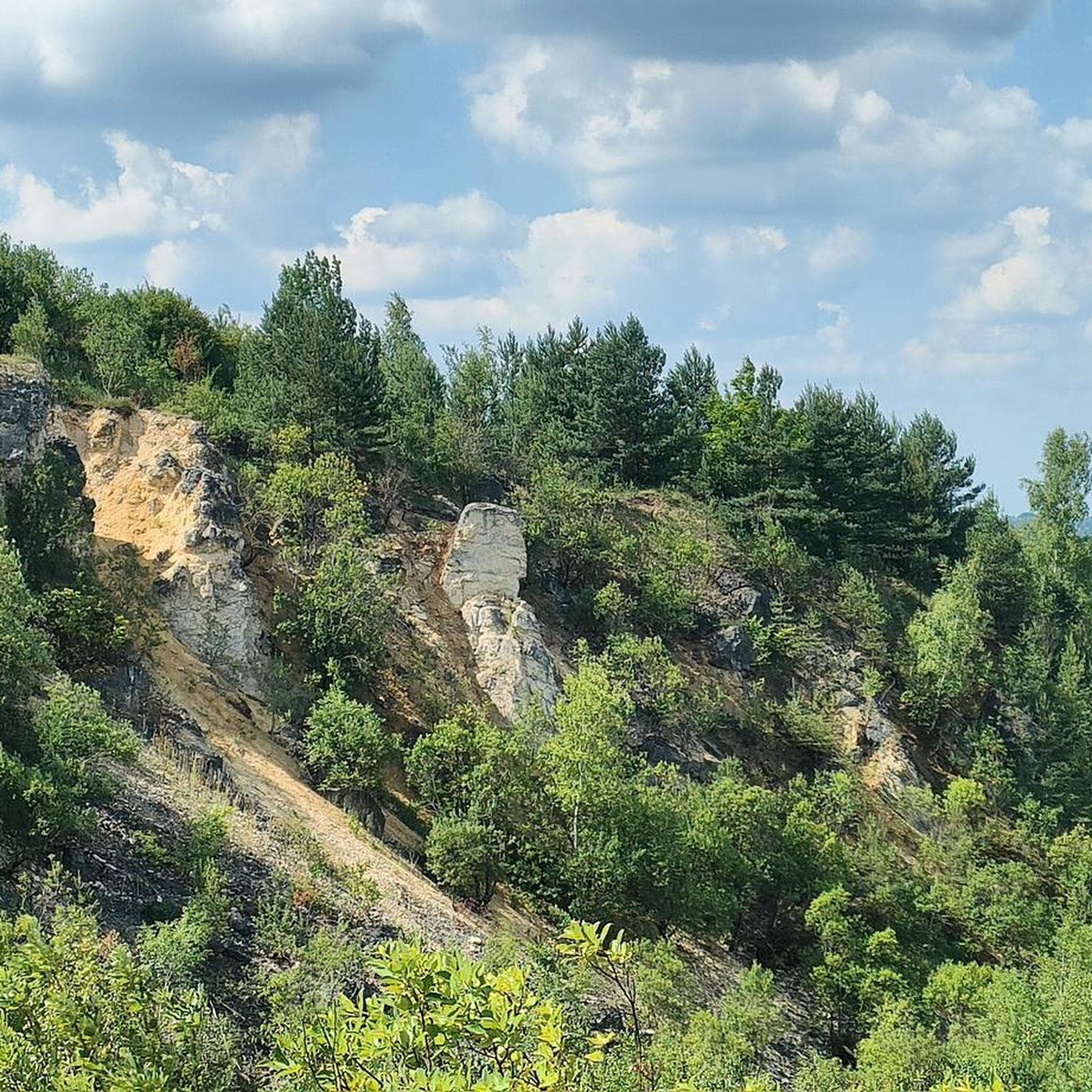
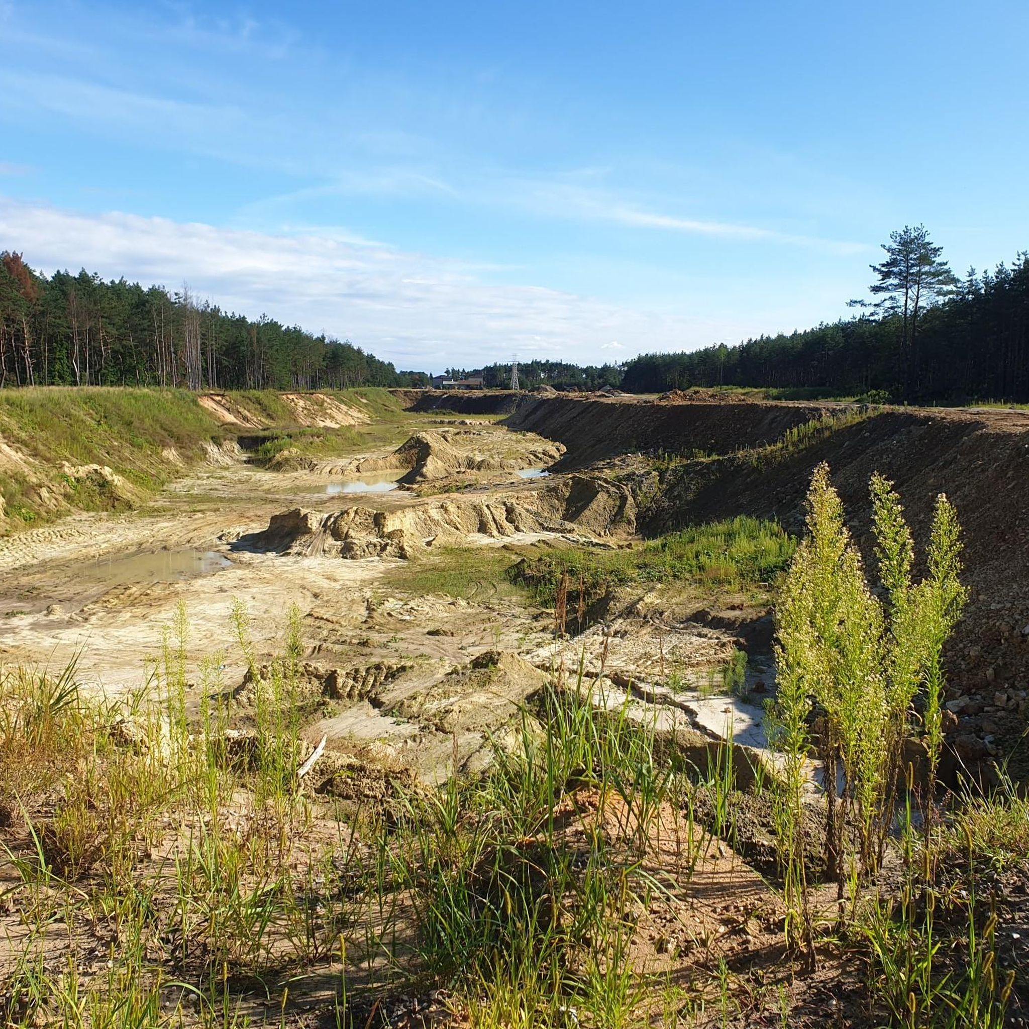
Hikes around Zawiercie feature diverse terrain, primarily characterized by dramatic limestone island mountains and Karst landscapes. You'll encounter rolling hills, valleys, unique rock formations, and even the sandy expanses of the Błędów Desert. The region also boasts rich plant communities and is near the source of the Warta River.
Are there any family-friendly hiking trails in Zawiercie?
Yes, Zawiercie offers several family-friendly options. Many trails are suitable for all ages, including the easy Ogrodzieniec Castle Ruins – Castle on Góra Birów loop from gmina Ogrodzieniec, which combines historical exploration with scenic views. The region has 65 easy routes, perfect for a leisurely family outing.
Can I bring my dog on the hiking trails around Zawiercie?
Most hiking trails in the Zawiercie region are dog-friendly, but it's always recommended to keep your dog on a leash, especially in nature reserves or areas with wildlife. Be mindful of local regulations, particularly around protected sites or private land. Always carry water for your pet and clean up after them.
What historical landmarks can I see while hiking in Zawiercie?
The Zawiercie area is rich in history, particularly along the famous "Trail of the Eagle's Nests." You can explore impressive medieval castle ruins such as Ogrodzieniec Castle, one of the largest and best-preserved, and the picturesque Pilcza Castle in Smoleń. Many routes, like the Ogrodzieniec Castle Ruins – Castle on Góra Birów loop, directly connect these historical sites.
Are there any circular hiking routes near Zawiercie?
Yes, many routes in the Zawiercie area are designed as loops, offering convenient circular walks. Examples include the Route through the marshes on the White Przemsza River and The didactic path in the Watering Valley, both within the Eagles' Nests Landscape Park.
What are some notable natural features or viewpoints on the trails?
The region offers stunning natural features and viewpoints. You can visit Okiennik Wielki, a unique limestone rock with a prominent natural window. Castle on Góra Birów also provides excellent panoramic views of the surrounding area and Ogrodzieniec Castle. The Błędów Desert offers a distinct, almost lunar landscape for exploration.
What is the best time of year to go hiking in Zawiercie?
The best time for hiking in Zawiercie is generally from spring to autumn (April to October), when the weather is mild and the natural landscapes are vibrant. During these months, you can fully enjoy the diverse flora and fauna, and access to all trails and attractions is typically unrestricted. Winter offers opportunities for skiing and cross-country skiing in nearby villages, but hiking conditions can be more challenging.
Are there options for public transport or parking near the trailheads?
While specific public transport options vary by trailhead, many popular starting points for trails, especially those near major attractions like Ogrodzieniec Castle, offer designated parking areas. It's advisable to check local transport schedules and parking availability for your chosen trailhead in advance, as public transport might be less frequent in more remote areas.
What do other hikers enjoy most about the trails in Zawiercie?
The trails in Zawiercie are highly rated by the komoot community, with an average score of 4.8 stars from over 270 reviews. Hikers often praise the unique combination of dramatic limestone rock formations, the historical allure of the castle ruins along the "Trail of the Eagle's Nests," and the diverse natural reserves that offer varied landscapes and experiences.
Are there any educational or didactic paths in the area?
Yes, the Eagles' Nests Landscape Park features specific didactic paths designed to educate visitors about the region's natural and historical significance. An example is The didactic path in the Watering Valley, which offers both recreational and educational experiences.
What is the longest hiking trail available near Zawiercie?
One of the longer routes you can explore is the Błędów Desert – Compass Rose Recreation Area loop from Błędów, which spans approximately 19 kilometers (11.8 miles). This moderate trail takes you through the unique landscape of the Błędów Desert.
Most popular routes around Zawiercie
Most popular attractions around Zawiercie

Get inspired with the komoot mobile app


Didn’t find what you were looking for?
Check out more Hikes throughout Zawiercie below and find the perfect route in your destination.
Explore more
Browse the best Hikes in other regions.
