The best walks and hikes around gmina Bolesławiec
4.7
(48)
475
hikers
112
hikes
Hiking trails around gmina Bolesławiec, located in Poland's Lower Silesian Voivodeship, traverse diverse landscapes including river valleys, extensive forests, and varied foothill and lowland terrain. The region is shaped by the Bóbr River, with many routes following its course and offering scenic riverside views. Hikers can explore areas within the Lower Silesian Forests, providing tranquil settings for walks, alongside paths that lead through fields and villages. This blend of natural features ensures a range of hiking experiences across different elevations…
Last updated: July 7, 2026
5.0
(1)
23
hikers
9.14km
02:19
20m
20m
Moderate hike. Good fitness required. Easily-accessible paths. Suitable for all skill levels.
17
hikers
Easy hike. Great for any fitness level. Easily-accessible paths. Suitable for all skill levels.

Sign up for free
5.0
(1)
10
hikers
8.18km
02:04
20m
20m
Moderate hike. Good fitness required. Easily-accessible paths. Suitable for all skill levels.
4.5
(2)
11
hikers
9.20km
02:20
20m
20m
Moderate hike. Good fitness required. Easily-accessible paths. Suitable for all skill levels.
13
hikers
8.29km
02:09
50m
50m
Moderate hike. Good fitness required. Easily-accessible paths. Suitable for all skill levels.
Get access to more routes and recommendations from other explorers.
Sign up for free
Already have an account?
Our route recommendations are based on thousands of hikes, rides, and runs completed by other people on komoot.
Start today with a free account
Your next adventure awaits.
Login or Signup

Tips from the Community

With good air clarity, the Karkonosze are quite visible from here
0
0

Huge and long. A fantastic building.
1
0

Very impressive structure, especially the length of the viaduct is remarkable.
0
0

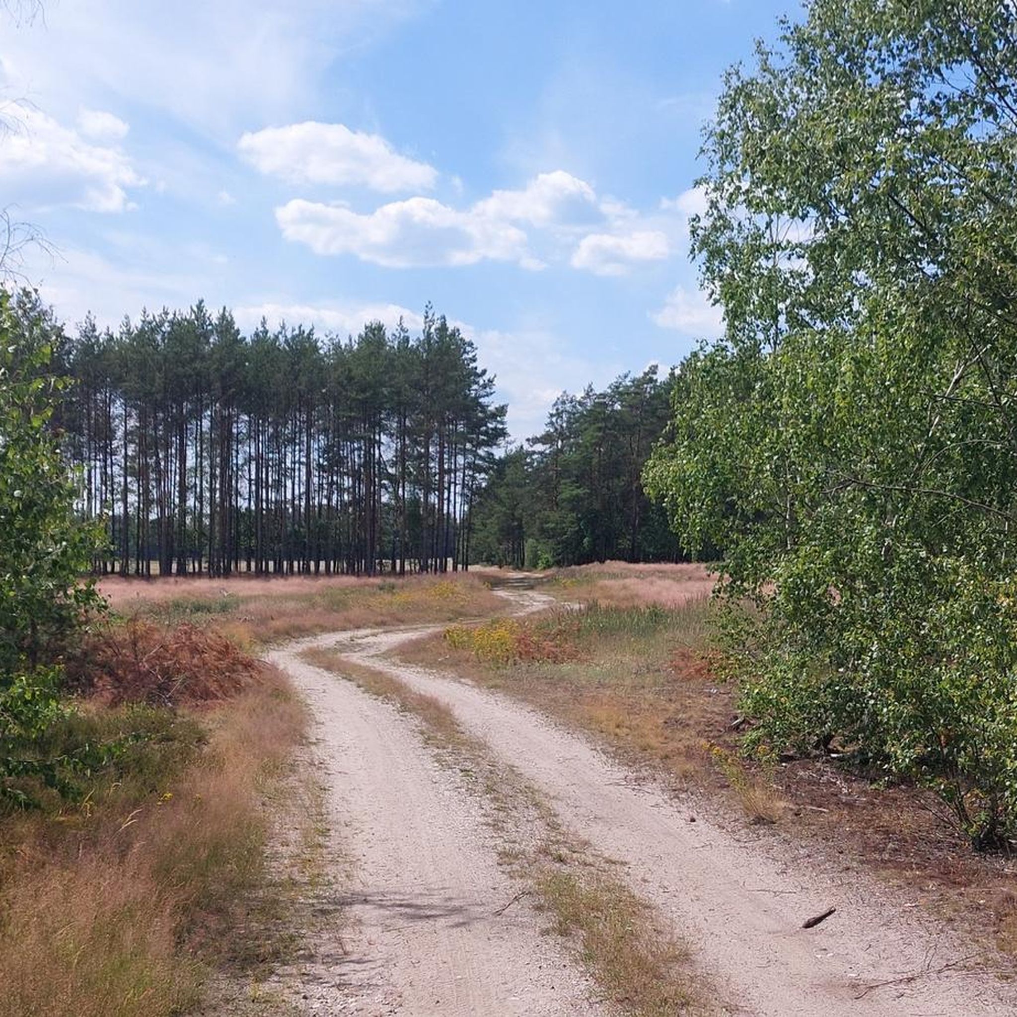
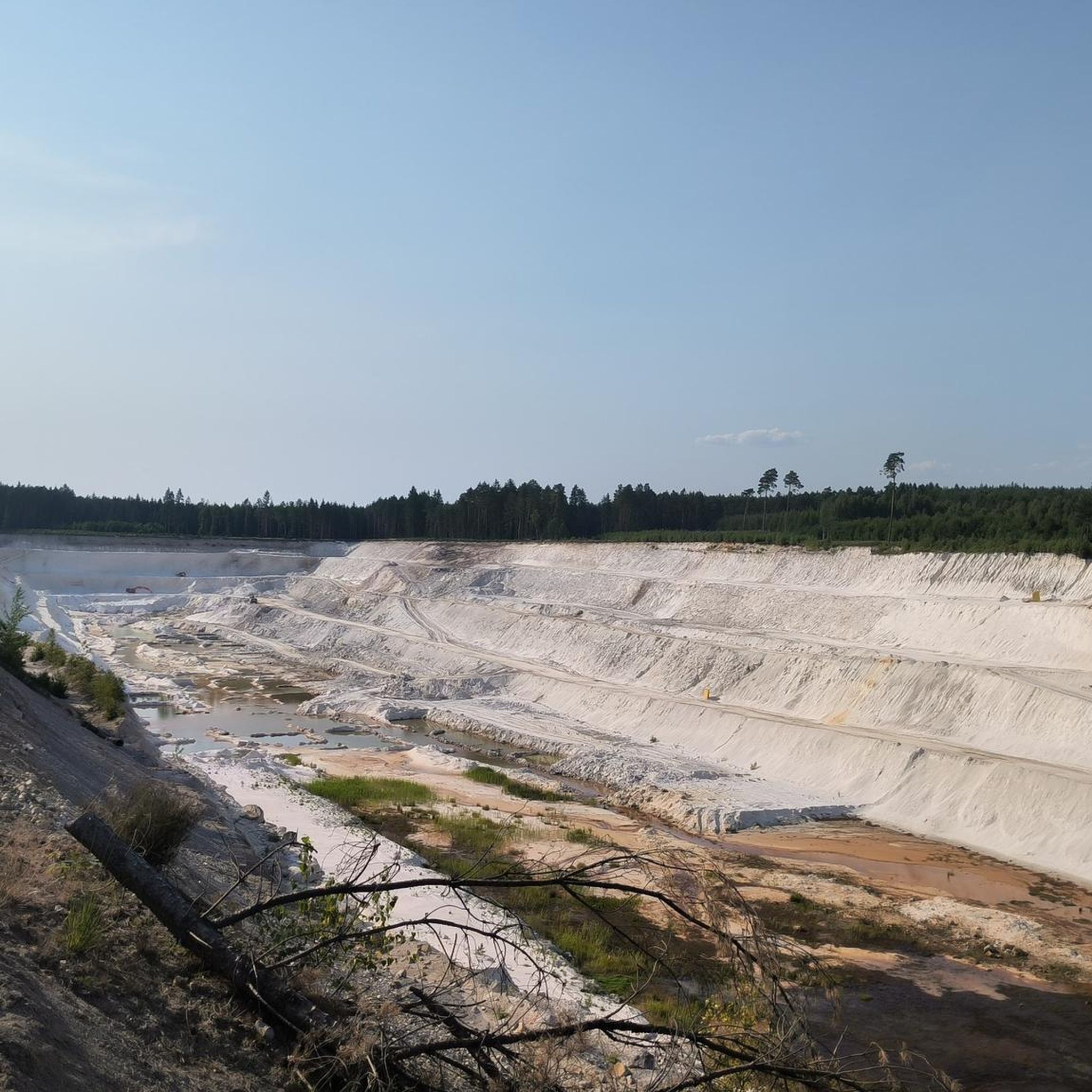
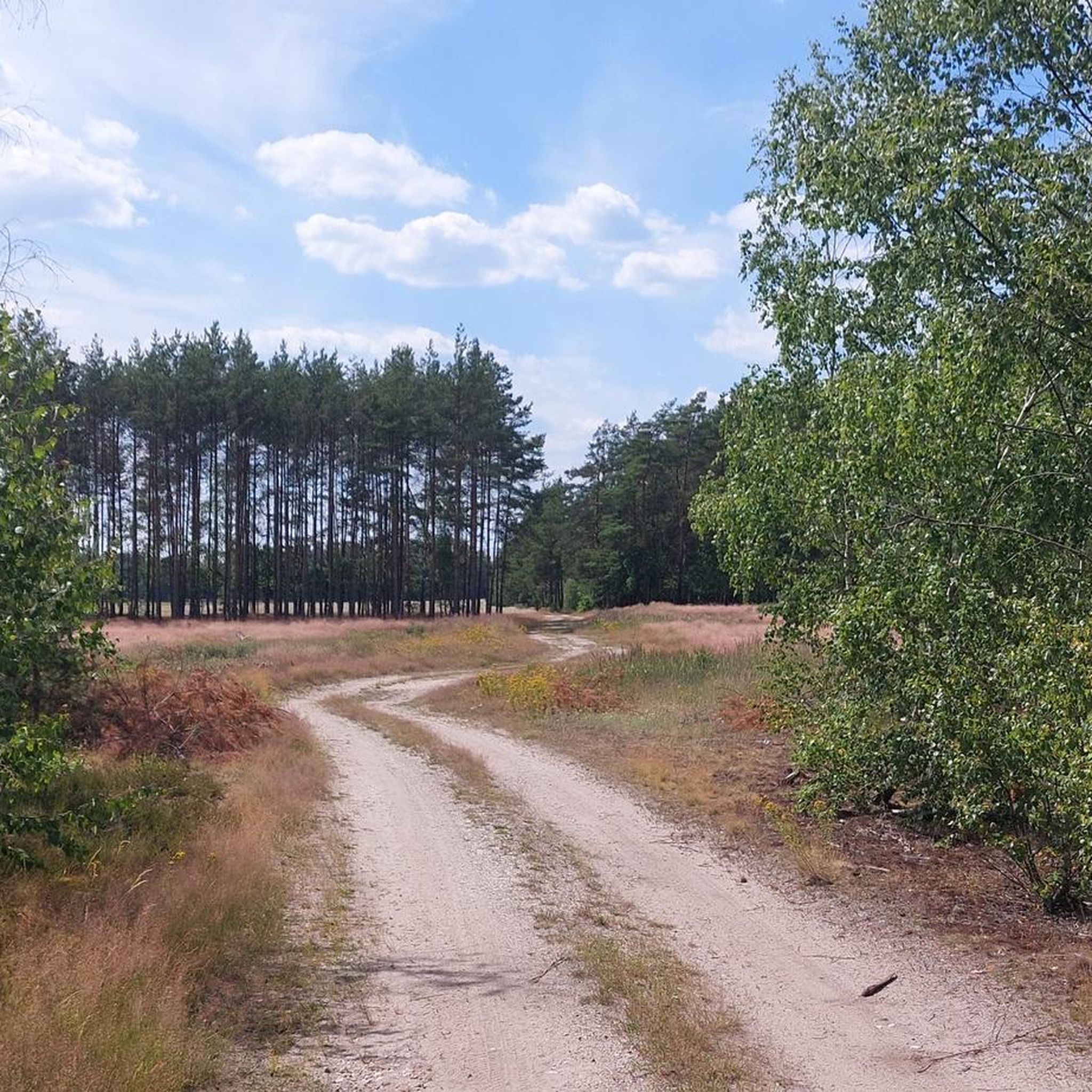
The dunes were formed after the last ice age receded (approx. 10,000 years ago), as a result of wind action — this is a natural, inland fragment of the aeolian landscape of the Lower Silesian Forests. The sand was exposed in the 20th century thanks to intensive artillery exercises — first German, and after World War II also Soviet — including rocket and missile tests, which led to fires and burning of vegetation. The training ground operated until 1992, which completely changed the structure of the terrain — bare sand fields were created
3
0

One of the longest arch bridges in Europe.
3
0

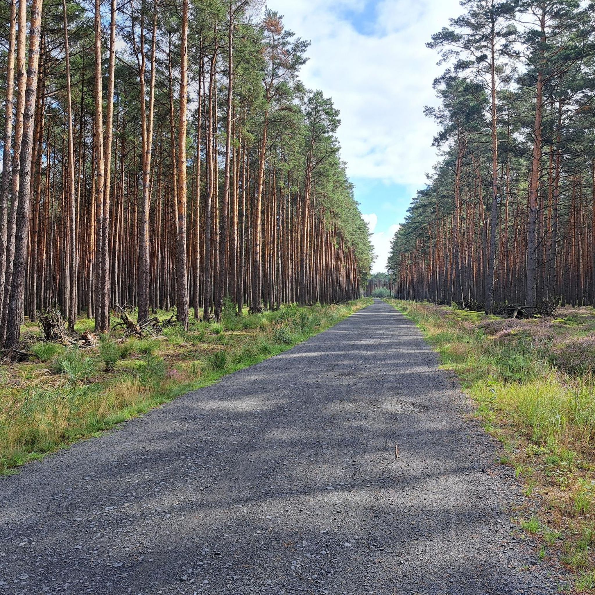
From the Bolesławiecki forest parking lot, 4 km along a gravel, boring road through the forest. Desert - great. Bicycle indicated.
1
1

The Bober Viaduct in Bolesławiec ( German Bunzlau ) is a railway bridge over the Bóbr ( German Bober ) in the Polish Lower Silesian Voivodeship. The 489 meter long viaduct was opened in 1846 as part of the Niederschlesisch-Märkische railway between the Prussian capital Berlin and the Silesian provincial capital Breslau. With the opening of the branch line from Kohlfurt to Görlitz, trains on the Dresden-Breslau route also ran over the viaduct. At the end of World War II, the viaduct was blown up by retreating Wehrmacht troops and later rebuilt by the Poles. Today, trains on the Dresden-Wroclaw route or sections of it, as well as numerous freight trains, are once again running over the electrified line over the viaduct. https://en.wikipedia.org/wiki/Boberviaduct_(Boles%C5%82awiec)
3
0

One of the longest railway bridges in Europe. Built 1844-1848. 490 m long, 26 m high.
4
0
Frequently Asked Questions
How many hiking trails are available in gmina Bolesławiec?
There are over 80 hiking routes recorded in gmina Bolesławiec, offering a wide variety of experiences. These include easy strolls along river valleys, moderate treks through forests, and some more challenging options in the foothill areas.
What kind of landscapes will I encounter on hikes in gmina Bolesławiec?
Hiking in gmina Bolesławiec offers a diverse range of landscapes. You'll find trails winding through the scenic Bóbr River Valley, extensive sections of the Lower Silesian Forests, and a mix of lowland and foothill terrain. Many routes feature open fields, charming villages, and picturesque meadows, providing varied scenery for every hike.
Are there easy hiking options suitable for families or casual walkers?
Yes, gmina Bolesławiec has plenty of easy hiking options. Nearly 50 of the routes are rated as easy, perfect for families or those looking for a relaxed walk. These often follow lowland paths, riverbanks, or well-maintained forest trails. An example is the Bolesławiec Viaduct – Bóbr Railway Viaduct loop from Bolesławiec, which is an easy 4.0-mile path offering views of historic viaducts and the Bóbr River.
Can I find more challenging hikes in the gmina Bolesławiec area?
While many trails are easy to moderate, there are a few more challenging options available. The region's southern sections, particularly those with a submontane character, offer more varied landscapes and elevation changes. In total, there are 6 routes rated as difficult, providing a good workout for experienced hikers.
Are there any circular hiking routes in gmina Bolesławiec?
Yes, many of the trails in gmina Bolesławiec are designed as circular routes, allowing you to start and end at the same point. Popular examples include the Kozłowska Desert loop from Kozłów and the View of the Bóbr River Viaduct – Bóbr Railway Viaduct loop from Bolesławiec, both offering convenient round trips.
What natural attractions or landmarks can I see while hiking?
Hiking in gmina Bolesławiec offers opportunities to discover several natural and historical attractions. You might encounter monumental trees, scenic viewpoints, and sections of protected landscape areas like the "Dolina Prosny." Notable natural features include Pustynia Kozłowska, a unique desert-like area, and the Lwówek Rocks. Historical sites such as Grodziec Castle and Kliczków Castle are also within the broader region and can be explored.
What do other hikers enjoy most about hiking in gmina Bolesławiec?
The hiking trails in gmina Bolesławiec are highly rated by the komoot community, with an average score of 4.7 stars from over 30 reviews. Hikers often praise the diverse terrain, from tranquil forest paths to scenic river valleys, and the sense of solitude offered by many routes. The well-marked paths and variety of difficulty levels also contribute to a positive experience.
Are dogs allowed on the hiking trails in gmina Bolesławiec?
Generally, dogs are welcome on hiking trails in gmina Bolesławiec, especially in less populated forest and rural areas. However, it's always recommended to keep them on a leash, particularly near wildlife, livestock, or in more crowded sections. Please be mindful of local regulations and clean up after your pet.
Is public transport available to reach trailheads in gmina Bolesławiec?
Public transport options to specific trailheads can vary. While Bolesławiec itself has bus and train connections, access to more remote starting points might require a car. Some trails, like the Bolesławiec Railway Station – New Museum of Ceramics loop from Rakowice, are designed to start near transport hubs, but it's advisable to check local bus schedules for routes outside the main town.
What is the best time of year to go hiking in gmina Bolesławiec?
The best time for hiking in gmina Bolesławiec is typically from spring through autumn (April to October). During these months, the weather is generally pleasant, and the natural scenery, from blooming wildflowers in spring to vibrant foliage in autumn, is at its most beautiful. Summer offers warm temperatures, ideal for longer days on the trails, while spring and autumn provide cooler, comfortable conditions.
Are there any viewpoints along the hiking trails in gmina Bolesławiec?
Yes, several trails in gmina Bolesławiec offer rewarding viewpoints. The region's varied terrain, including foothill sections and river valleys, provides natural elevations for scenic vistas. For instance, the Bolesławiec – Lwówek Śląski trail is known for a notable viewpoint near Kraszowice, and the L. Piątkowskiego trail also features various scenic spots.
Are there any trails that pass through forests or offer a sense of solitude?
Absolutely. Gmina Bolesławiec is situated within or near the Lower Silesian Forests, and many trails, such as the "Puszczański" (Forest) trail from Zebrzydowa to Bolesławiec, lead through extensive forest complexes and meadows. These routes provide a tranquil setting, ideal for those seeking solitude and immersion in nature away from populated areas.
Most popular routes around gmina Bolesławiec
Most popular attractions around gmina Bolesławiec

Get inspired with the komoot mobile app


Explore more
Browse the best Hikes in other regions.
