The best MTB trails around gmina Dzierżoniów
4.7
(274)
3,223
riders
319
rides
Mountain bike trails around Gmina Dzierżoniów are set within the diverse topography of southwestern Poland, at the foot of the Owl Mountains. The region features varied terrain, from rolling hills to significant mountain passes, offering a range of elevation changes. Cyclists can explore a network of trails that traverse both paved and unpaved sections, providing access to diverse landscapes. This area is characterized by its blend of mountain and hill environments, making it suitable for different mountain biking experiences.
Best…
Last updated: July 1, 2026
4.6
(10)
43
riders
21.2km
01:52
500m
500m
Moderate mountain bike ride. Good fitness required. Suitable for all skill levels.
4.9
(7)
30
riders
34.7km
02:54
570m
570m
Moderate mountain bike ride. Good fitness required. Advanced riding skills necessary.

Sign up for free
27
riders
19.8km
01:41
330m
330m
Hard mountain bike ride. Good fitness required. Advanced riding skills necessary. Some portions of the route may require you to push your bike.
5.0
(1)
8
riders
53.8km
03:15
450m
450m
Moderate mountain bike ride. Good fitness required. Advanced riding skills necessary.
4.0
(1)
10
riders
Hard mountain bike ride. Very good fitness required. Advanced riding skills necessary.
Get access to more routes and recommendations from other explorers.
Sign up for free
Already have an account?
Our route recommendations are based on thousands of hikes, rides, and runs completed by other people on komoot.
Start today with a free account
Your next adventure awaits.
Login or Signup
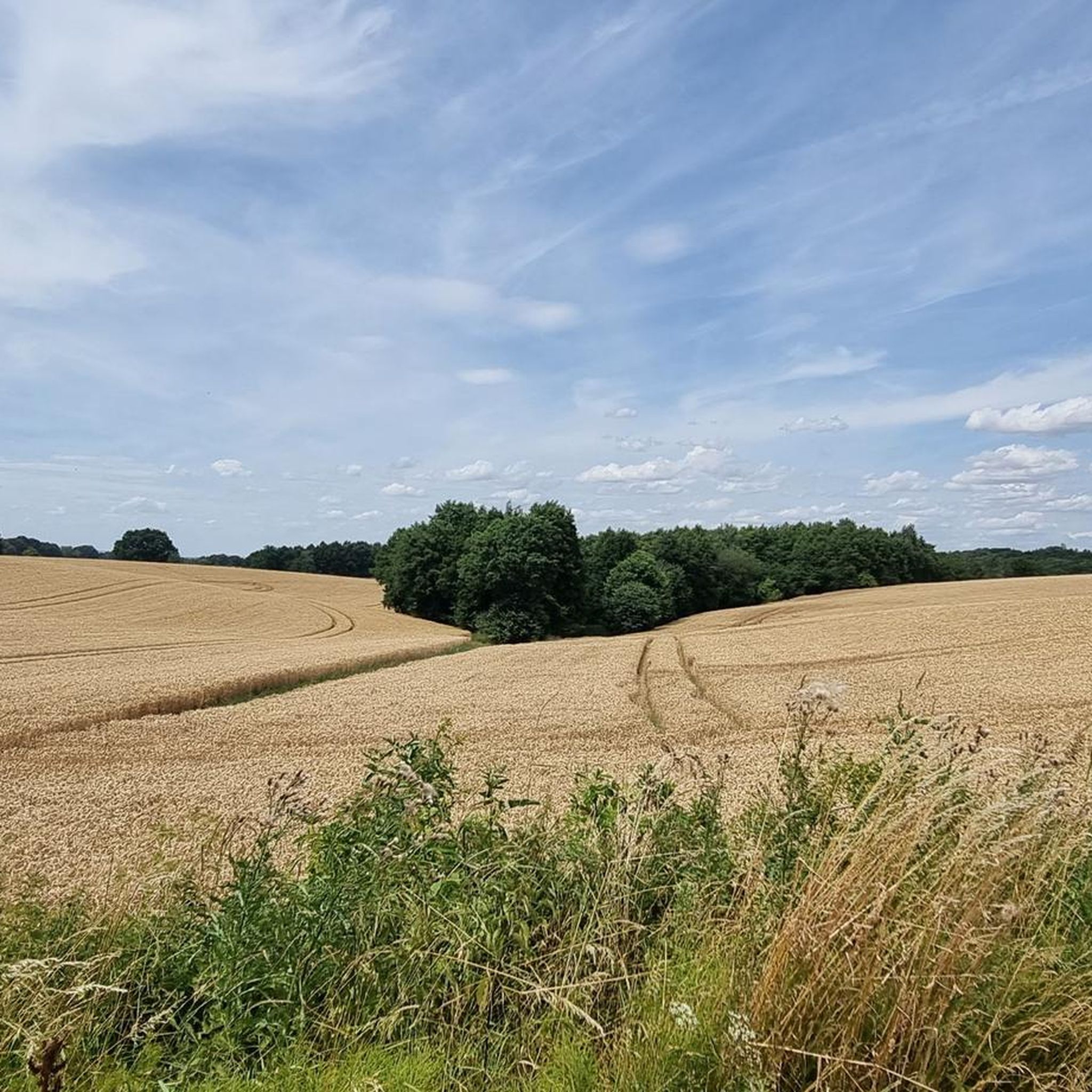

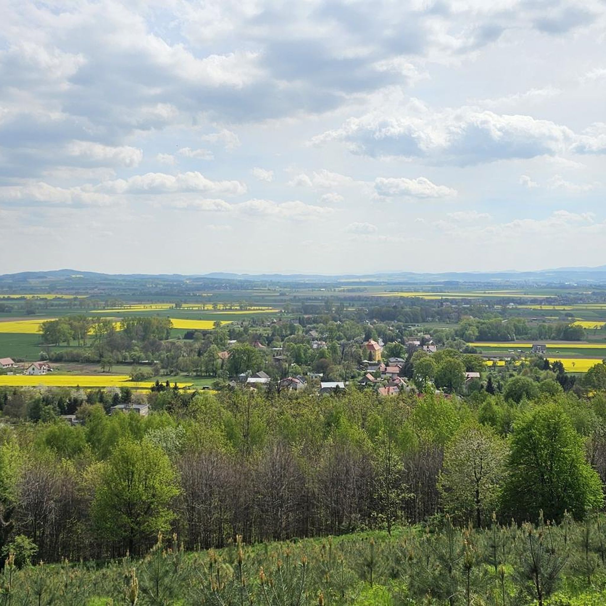
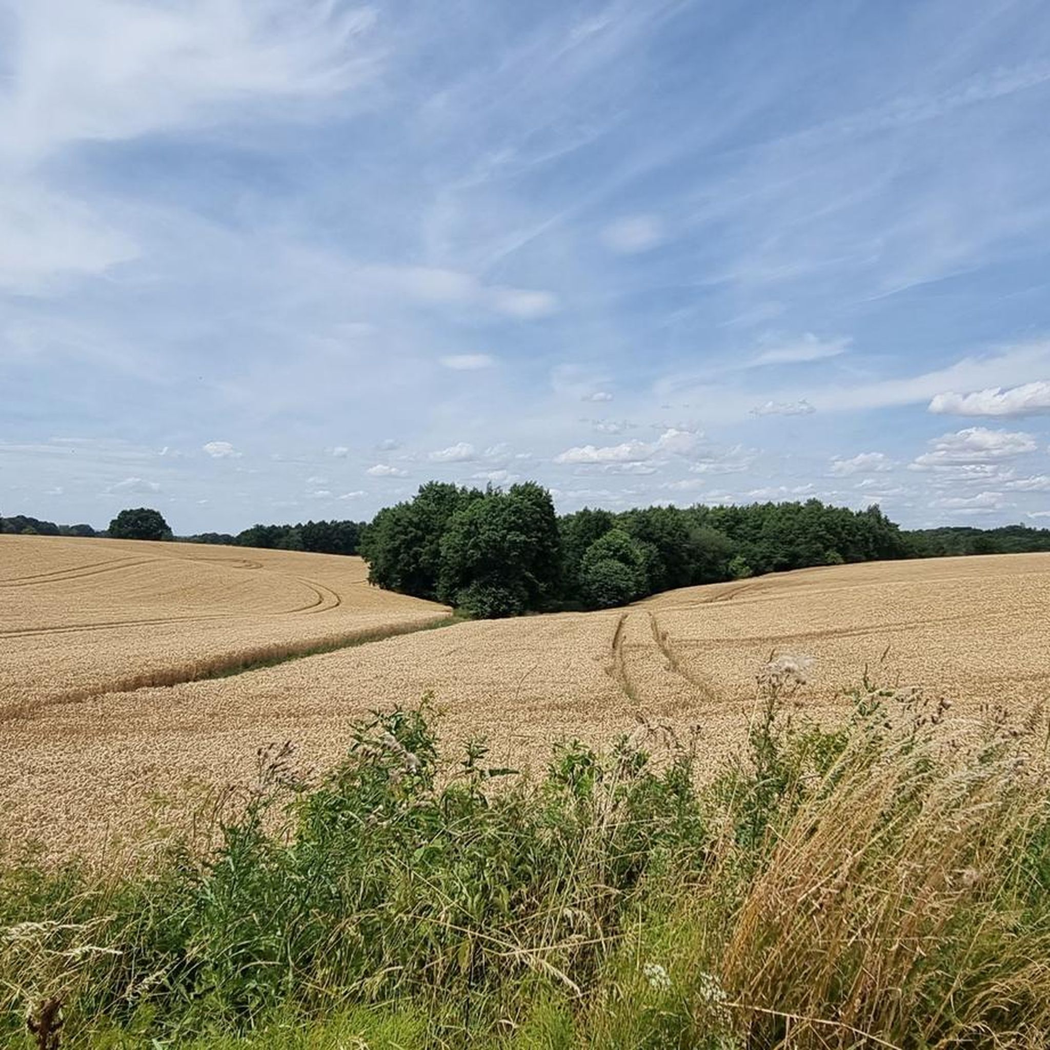
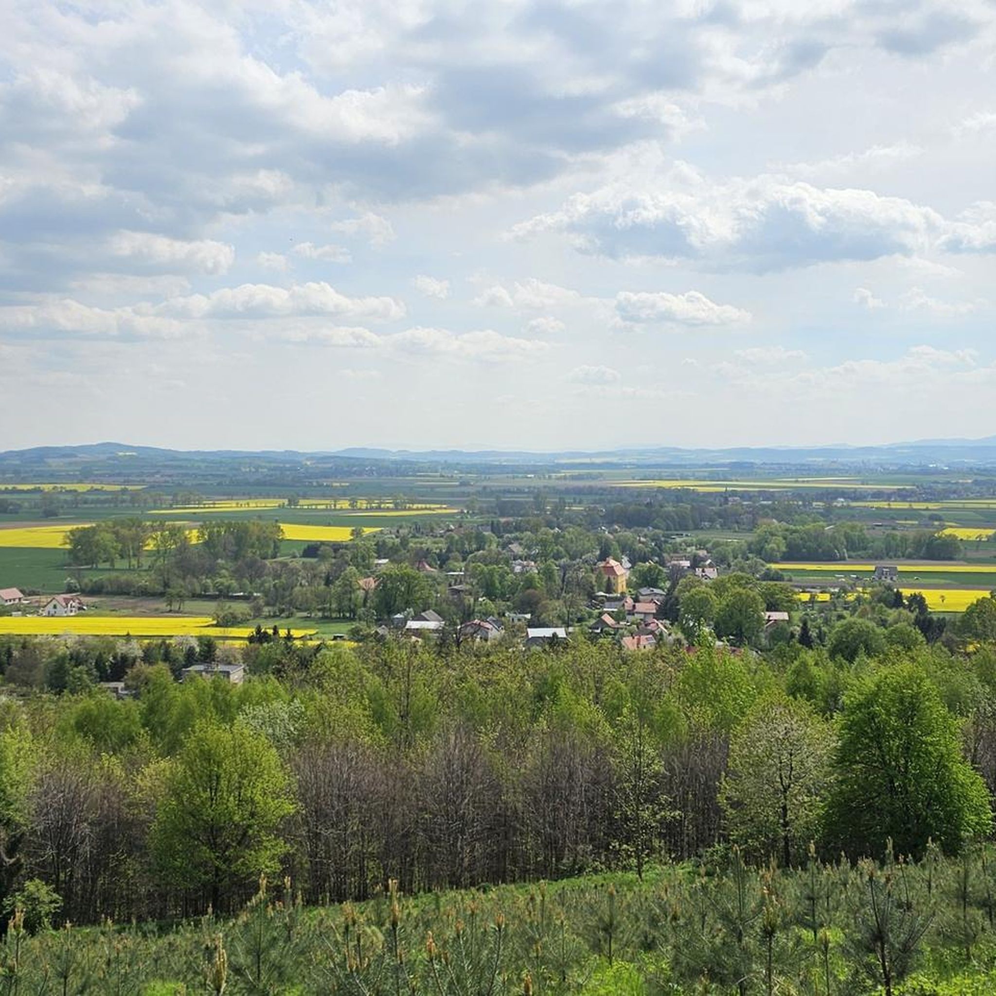
Tips from the Community


Leśny Dworek is of course a beautiful house here on the street, which you can't miss. It is built in the Tyrolean style (which draws attention: it is not exactly Polish architecture...) for Friedrich Dierig. Who he was: I don't know :), but the house is listed on the register of historical monuments. In addition, it is an access point to the MTB Sudety zone and there are also shelters, benches and tables with this one strange chimney...
0
0
A vast clearing at an altitude of 805m, which is also a pass separating Kalenica and Popielak. Generally covered with forest, but you will find good views here. A good place to stop after a strenuous bike ride.
0
0
A wonderful view from Rymarz (and not far from Jugów): the panorama (including the view of Śnieżnik and many Czech mountains) is extraordinary. Add a bench with a table and all is well in the world.
0
0
Przełęcz Jugowska at an altitude of 801m. Access to it is by a quiet asphalt road, great for cyclists who like climbs. There are no views here, but there is a huge information board about the area, a parking lot, a bar and a shelter.
0
0
If you're heading to Ślęża, it's almost certainly from here. There's a good parking lot here and plenty of trail signs. The pass is at 384m above sea level and from here there are beautiful views of the surrounding area.
1
0
There's a beautiful observation tower on Wielka Sowa. Please note that it's only open seasonally (June to September) and only Monday through Friday, from 10 a.m. to 3 p.m.
3
0
Frequently Asked Questions
How many mountain bike trails are available in Gmina Dzierżoniów?
Gmina Dzierżoniów offers a wide selection of mountain biking routes, with over 280 trails recorded on komoot. These routes cater to various skill levels, from easy rides to challenging mountain passes.
What are the difficulty levels of mountain bike trails in Gmina Dzierżoniów?
The trails in Gmina Dzierżoniów range from easy to difficult. You'll find 67 easy routes, 177 moderate routes, and 39 difficult routes, ensuring options for beginners and advanced riders alike. For example, the Dirt Path Through Fields – Lake Bielawskie loop from Dzierżoniów is an easy option, while the Fort Wysoka Skała – Silver Mountain Viaduct loop from Pałac w Ostroszowicach is considered difficult.
Are there any family-friendly mountain bike trails in Gmina Dzierżoniów?
Yes, Gmina Dzierżoniów offers family-friendly mountain biking options, particularly among its 67 easy routes. These trails often feature less challenging terrain and shorter distances, making them suitable for families. The region's mix of paved and unpaved sections allows for varied experiences that can be adapted for different family members.
What kind of elevation changes can I expect on the mountain bike trails?
The trails in Gmina Dzierżoniów, situated at the foot of the Owl Mountains, feature varied terrain with significant elevation changes. You can expect everything from rolling hills to demanding climbs. For instance, the difficult Fort Wysoka Skała – Silver Mountain Viaduct loop from Pałac w Ostroszowicach includes over 1000 meters of elevation gain, while easier routes will have more gentle gradients.
What natural landmarks or attractions can I see along the mountain bike trails?
Many mountain bike trails in Gmina Dzierżoniów pass by beautiful natural landmarks. You can explore areas around the picturesque Owl Mountains (Góry Sowie) and discover features like Bystrzyckie Lake and Bielawskie Lake. Trails also lead through scenic mountain passes such as Tąpadła Pass and Jugowska Pass.
Are there any historical sites or points of interest near the mountain bike routes?
Yes, the region around Gmina Dzierżoniów is rich in historical sites. Some routes, like the challenging Fort Wysoka Skała – Silver Mountain Viaduct loop from Pałac w Ostroszowicach, pass by historical sites. You can also find attractions such as the Srebrna Pass Viaduct (568 m) and the impressive hydroelectric dam in Zagorze Śląskie.
What do other mountain bikers enjoy most about the trails in Gmina Dzierżoniów?
The mountain bike trails in Gmina Dzierżoniów are highly rated by the komoot community, with an average score of 4.7 stars from over 350 reviews. Riders often praise the varied terrain, the blend of paved and unpaved sections, and the scenic views of the Owl Mountains and surrounding countryside.
Are there loop trails available for mountain biking?
Yes, many mountain bike routes in Gmina Dzierżoniów are designed as loops, offering convenient starting and ending points. Examples include the Route "Bielawa Yellow": MTB Sudety Zone: Sowie Mountains Landscape Park and the Tąpadła Pass – MTB Routes Sobótka - Janosik loop from Wiry, which allow you to return to your starting point without retracing your path.
What is the best time of year for mountain biking in Gmina Dzierżoniów?
The diverse terrain of Gmina Dzierżoniów makes it suitable for mountain biking through much of the year. Spring and autumn offer pleasant temperatures and vibrant scenery, while summer provides longer daylight hours. Winter riding is possible, but conditions can be more challenging due to snow and ice, especially at higher elevations in the Owl Mountains.
Are there options for mountain biking near cafes or places to eat?
While specific cafes directly on trails are not always guaranteed, many routes start or pass through towns and villages in Gmina Dzierżoniów where you can find places to eat and drink. Planning your route to include stops in places like Dzierżoniów or Bielawa will allow you to refuel and relax.
Where can I find parking for mountain biking trailheads?
Parking is generally available in the towns and villages that serve as starting points for many mountain bike trails in Gmina Dzierżoniów. Popular areas like Tąpadła Pass and locations near the Sowie Mountains Landscape Park often have designated parking spots. It's advisable to check specific route details for recommended parking locations.
Can I reach mountain bike trails using public transport?
While public transport options exist within the region, direct access to all trailheads might vary. Major towns like Dzierżoniów are connected by local transport. For specific routes, it's best to research local bus or train services to see if they align with your chosen starting point, keeping in mind that carrying a mountain bike on public transport can sometimes be restricted.
Most popular routes around gmina Dzierżoniów
Most popular attractions around gmina Dzierżoniów

Get inspired with the komoot mobile app


Explore more
Browse the best MTB trails in other regions.
