The best walks and hikes around gmina Polkowice
5.0
(8)
328
hikers
59
hikes
Hiking trails around gmina Polkowice traverse a varied terrain, characterized by wetlands, extensive heather moors, and dense pine forests, particularly within the Przemkowski Landscape Park. The region also features unique geological formations, including the nearby Ostrzyca hill, a volcanic plug with distinctive basalt columns. These physical features provide a range of environments for outdoor exploration.
Best hiking trails around gmina Polkowice
- The most popular hiking route is Staw Obora loop from Lubin, a 7.5 miles (12.0 km) moderate trail…
Last updated: June 24, 2026
23
hikers
11.4km
02:55
40m
40m
Moderate hike. Good fitness required. Easily-accessible paths. Suitable for all skill levels.
7
hikers
7.22km
01:51
30m
20m
Easy hike. Great for any fitness level. Easily-accessible paths. Suitable for all skill levels.

Sign up for free
7
hikers
7.51km
01:56
40m
40m
Easy hike. Great for any fitness level. Easily-accessible paths. Suitable for all skill levels.
5.0
(1)
5
hikers
4.29km
01:07
30m
30m
Easy hike. Great for any fitness level. Easily-accessible paths. Suitable for all skill levels.
3
hikers
Moderate hike. Good fitness required. Easily-accessible paths. Suitable for all skill levels.
Get access to more routes and recommendations from other explorers.
Sign up for free
Already have an account?
Our route recommendations are based on thousands of hikes, rides, and runs completed by other people on komoot.
Start today with a free account
Your next adventure awaits.
Login or Signup

Tips from the Community

Saint Michael the Archangel was erected in the market square on March 26, 2018. It is a bronze statue over 3 meters tall and weighs a proud 1 ton. Grzegorz Łagowski of Wrocław was the sculptor.
4
0
The Głogów Defensive Tower in Lubin (Baszta Głogowska) has a square floor plan. It was built during the construction of the Lubin city walls in the mid-14th century and raised in the 16th century. Renovations took place in the 18th and 19th centuries. Its lower sections are made of natural stone and brick, while the upper sections are made of brick. The tarmac roof dates from the 19th century. The Głogów Gate consisted of a gatehouse, which adjoined the tower to the north, and a city gate in front of the city wall. The gatehouse contained a 6-meter-high arched passageway with a drawbridge, initially 10 meters high and later 20 meters high. The gate featured a double defensive wall and a triple moat with three bridges, one of which was a drawbridge. A three-story building from the 18th century adjoined the northeastern wall of the defensive tower.
1
0
The first town hall was built in the 14th and 15th centuries. The relic of the Merchants' Tower in the center of the Ring dates from this period. A new Renaissance-style building was begun in 1524 based on designs by Hans Lindner. The architectural style was influenced by the Görlitz master builder Wendel Roskopf. The building also housed the town scales. The 35 x 45 m Citizens' Hall, the assembly hall on the ground floor and upper floors, and a large hall with a music gallery met the representative needs of Lauban, a town rich in cloth-making and trade. The building was expanded between 1551 and 1581. The town hall was originally more richly decorated, but after city fires in 1554, 1659, 1670, and 1760, it was rebuilt in a simplified form. The interior retains its ornate vaulted ribs. The clock tower was begun in 1620 and completed in 1688 with a three-pierced Baroque-style spire. Renovations took place in the mid-19th century. The spire burned down in 1929 and was rebuilt in concrete according to a design by Berlin architect Hans Poelzig. After being destroyed at the end of World War II in 1945, the town hall was reconstructed in the 1950s and 1970/1971, and its interior was restored in keeping with its style, including vaulted ceilings. (Wikipedia)
7
0
The Luban Market Square is a central location in the town of Luban, Poland. It often serves as a meeting place for locals and visitors and is an important part of town life. The market square frequently hosts markets, events, and festivities that foster a sense of community and showcase local culture.
7
0

The highest climb on the MTB Obiszów route, near the end of the route.
1
0
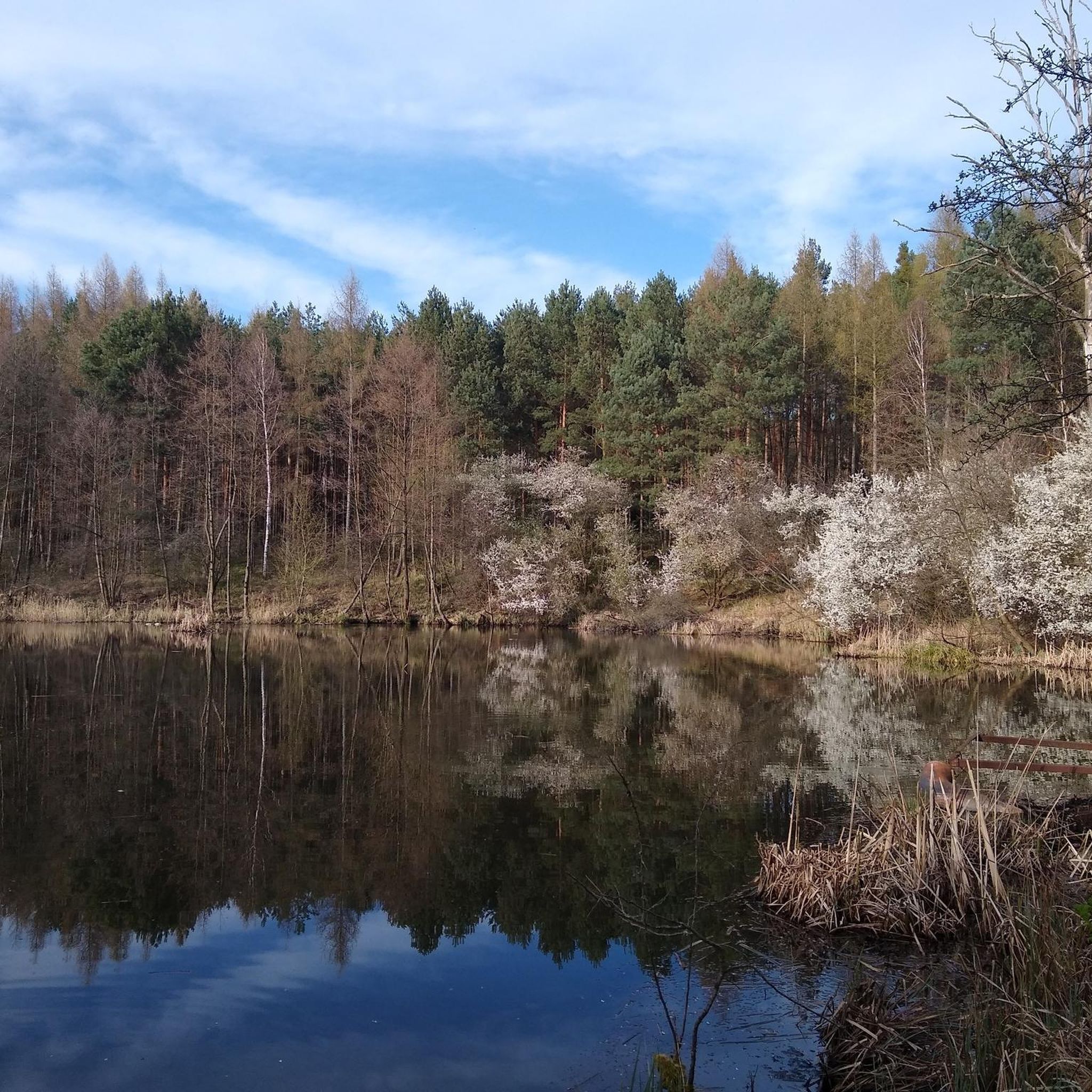
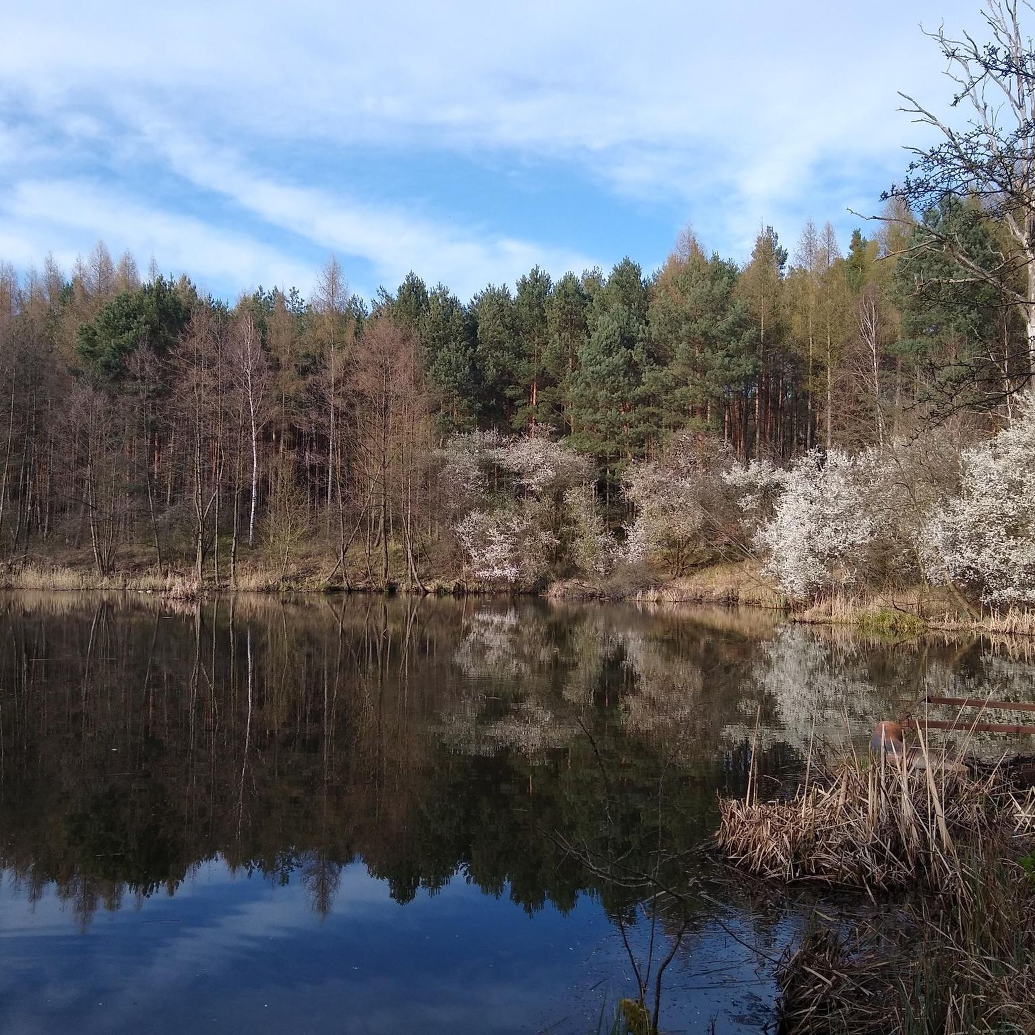
A charming lake, good for a rest on the MTB trail.
0
0

Part of the museum is located here in the city center. The other part is in the park 1.5 km further south.
0
0

A nice and joyful ascent to the Baba Jaga mountain (180m high). Maybe for those from the Tatras it's not much, but here it's a bigger elevation and a bigger hill, and it's a great ascent.
1
0
Frequently Asked Questions
How many hiking trails are available in gmina Polkowice?
There are over 40 hiking routes in gmina Polkowice, offering a diverse range of experiences from easy strolls to more moderate walks through wetlands, forests, and unique geological areas.
What kind of terrain can I expect on hikes in gmina Polkowice?
The terrain in gmina Polkowice is varied, featuring extensive heather moors, dense pine forests, and wetlands, particularly within the Przemkowski Landscape Park. You might also encounter unique geological formations, such as the basalt columns of the nearby Ostrzyca hill.
Are there any easy, family-friendly hiking options in gmina Polkowice?
Yes, gmina Polkowice offers many easy trails suitable for families. For example, the Park Seniora loop from gmina Polkowice is an easy 4.5-mile (7.2 km) path exploring local green spaces. Over half of the routes in the area are rated as easy.
Can I bring my dog on the hiking trails in gmina Polkowice?
Most trails in gmina Polkowice are dog-friendly, especially those outside protected nature reserves. When hiking with your dog, always keep them on a leash, especially in areas with wildlife or near livestock, and ensure you clean up after them. Specific rules may apply within the Przemkowski Landscape Park, so check local signage.
What are some natural attractions or viewpoints to see while hiking?
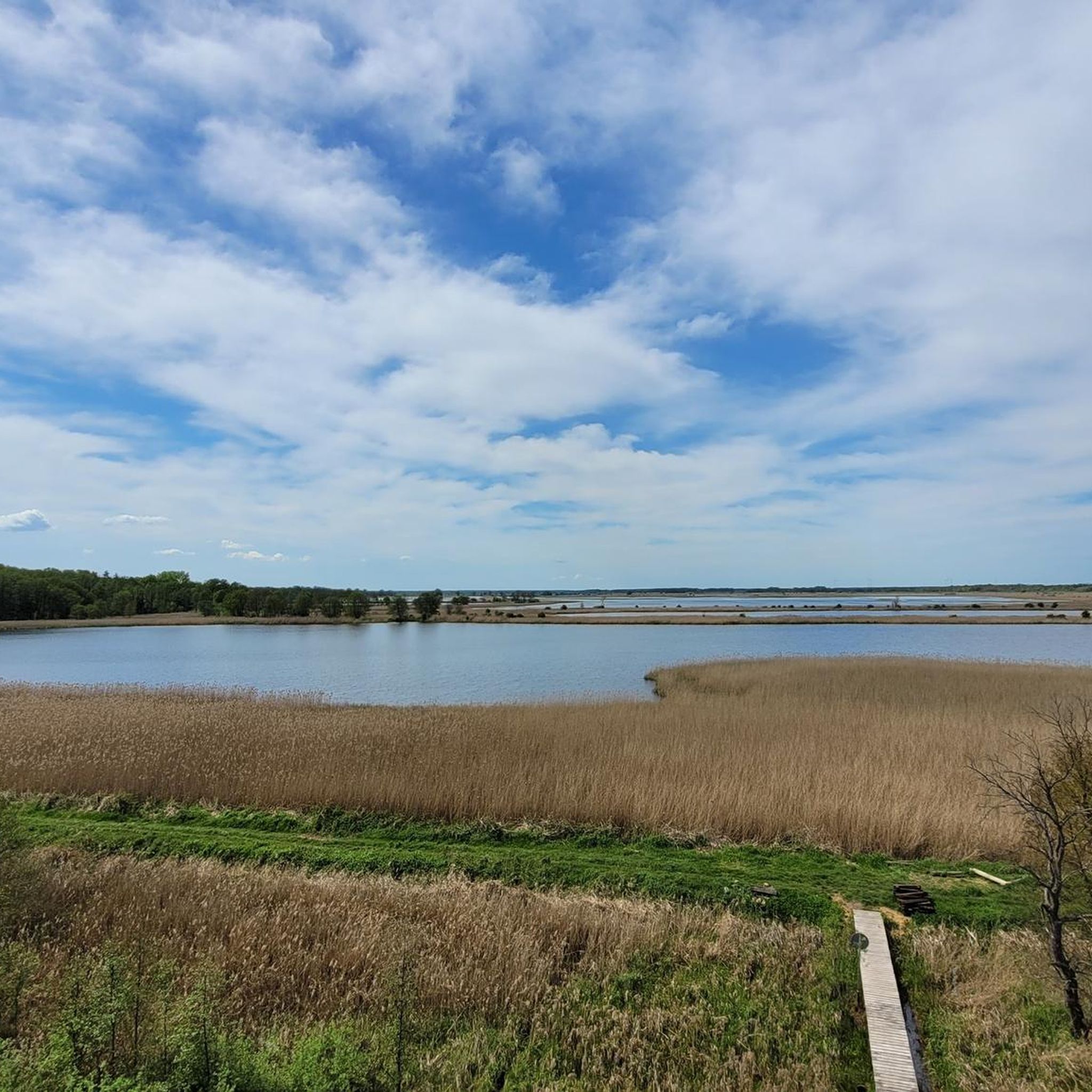
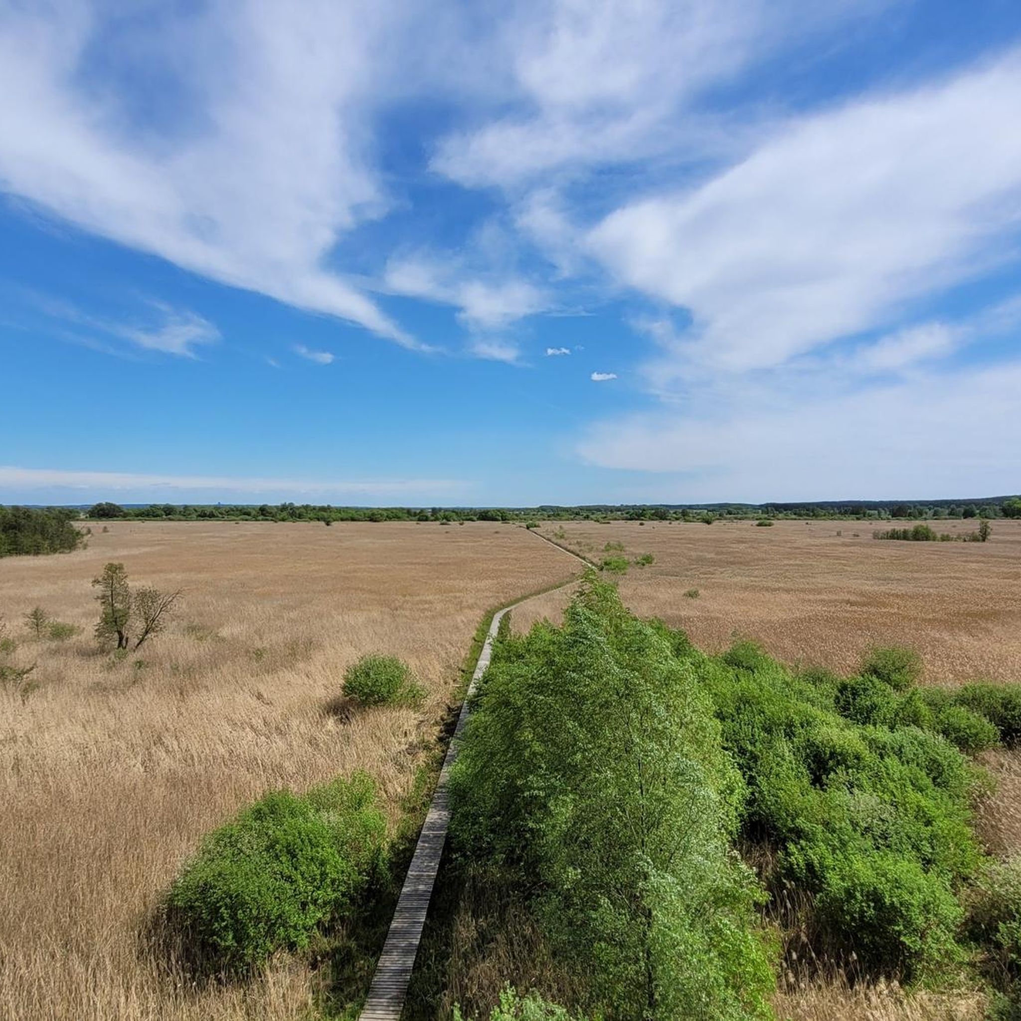
The region boasts several natural highlights. The Przemkowski Landscape Park offers educational paths, like the 'Stawy Przemkowskie' trail, with wooden boardwalks for observing aquatic birds and bog vegetation. A viewing tower within the park provides panoramic vistas. Additionally, the nearby Ostrzyca hill, a volcanic plug with distinctive hexagonal basalt columns, offers a unique geological experience and scenic views from its summit. For a route that includes a lake, consider the Staw Obora loop from Lubin.
Are there any circular hiking routes in gmina Polkowice?
Yes, many of the hiking routes in gmina Polkowice are circular, allowing you to start and end at the same point. Examples include the Staw Obora loop from Lubin and the Park Seniora loop from gmina Polkowice.
What is the best season for hiking in gmina Polkowice?
Hiking in gmina Polkowice is enjoyable throughout much of the year. Spring and autumn offer pleasant temperatures and beautiful scenery, especially in autumn when the heather moors in Przemkowski Landscape Park turn a 'purple sea.' Summer is also popular, but be prepared for warmer weather. Winter hiking is possible, but some paths might be muddy or covered in snow.
Are there any historical sites or landmarks near the hiking trails?
Yes, the area around gmina Polkowice has several historical sites. You can explore places like the Obiszów Piast Fort Reconstruction or the Krzydłowice Palace Ruins. The Old Town Polkowice also offers historical interest.
What do other hikers say about the trails in gmina Polkowice?
The hiking routes in gmina Polkowice are highly regarded by the komoot community, with an average rating of 5.0 stars from around 10 reviews. Hikers often praise the quiet woodlands, well-maintained paths, and the natural beauty of areas like the Przemkowski Landscape Park.
Is public transport available to reach hiking trailheads?
While specific public transport connections to every trailhead can vary, gmina Polkowice has local bus services that may connect to some starting points. For more remote trails, driving and parking are often the most convenient options. It's advisable to check local bus schedules for your chosen route.
Are there any permits required for hiking in gmina Polkowice?
Generally, no special permits are required for hiking on the designated trails in gmina Polkowice. However, always respect local regulations, especially within protected areas like the Przemkowski Landscape Park, and stay on marked paths.
What is the typical elevation gain on trails in gmina Polkowice?
Most trails in gmina Polkowice feature relatively gentle elevation changes, making them accessible for various fitness levels. For instance, the Staw Obora loop from Lubin has an elevation gain of about 50 meters, while the Unnamed lake loop from Rezerwat Uroczysko Obiszów has a more significant gain of around 137 meters.
Most popular routes around gmina Polkowice
Most popular attractions around gmina Polkowice

Get inspired with the komoot mobile app


Explore more
Browse the best Hikes in other regions.
