The best running trails around gmina Głuszyca
4.4
(35)
1,604
runners
13
runs
Jogging around gmina Głuszyca offers diverse landscapes within the Central Sudetes of Poland, characterized by mountainous terrain, river valleys, and extensive forest networks. The region is situated in the Bystrzyca river valley, nestled between the Sowie Mountains and the Stone Mountains, providing varied elevations for running. Joggers can explore trails leading through lush forests and more open, rugged mountainous areas, with peaks like Włodarz and Waligóra shaping the landscape. This area provides a compelling destination for outdoor enthusiasts seeking varied…
Last updated: June 23, 2026
92
runners
27.4km
03:43
1,100m
1,100m
Hard run. Very good fitness required. Mostly paved surfaces. Suitable for all skill levels.
5.0
(1)
69
runners
24.0km
02:47
630m
630m
Hard run. Very good fitness required. Mostly paved surfaces. Suitable for all skill levels.

Sign up for free
16
runners
Hard run. Very good fitness required. Mostly accessible paths. Some sure footedness required.
3.0
(1)
15
runners
7.18km
00:45
60m
60m
Moderate run. Good fitness required. Mostly paved surfaces. Suitable for all skill levels.
5
runners
11.0km
01:11
170m
170m
Moderate run. Good fitness required. Mostly paved surfaces. Suitable for all skill levels.
Get access to more routes and recommendations from other explorers.
Sign up for free
Already have an account?
Our route recommendations are based on thousands of hikes, rides, and runs completed by other people on komoot.
Start today with a free account
Your next adventure awaits.
Login or Signup
Popular around gmina Głuszyca
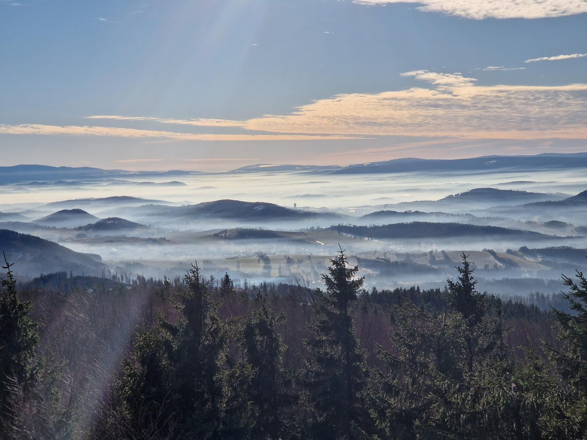
The Main Sudeten Route – a great Polish mountain adventure
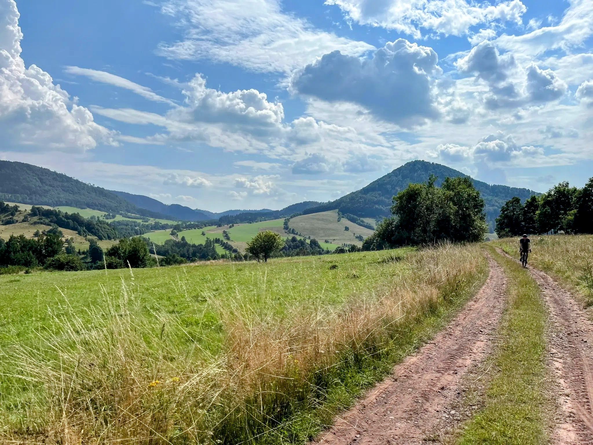
Sudetes Without Borders - Ultra Sudety Gravel Race (USGR)
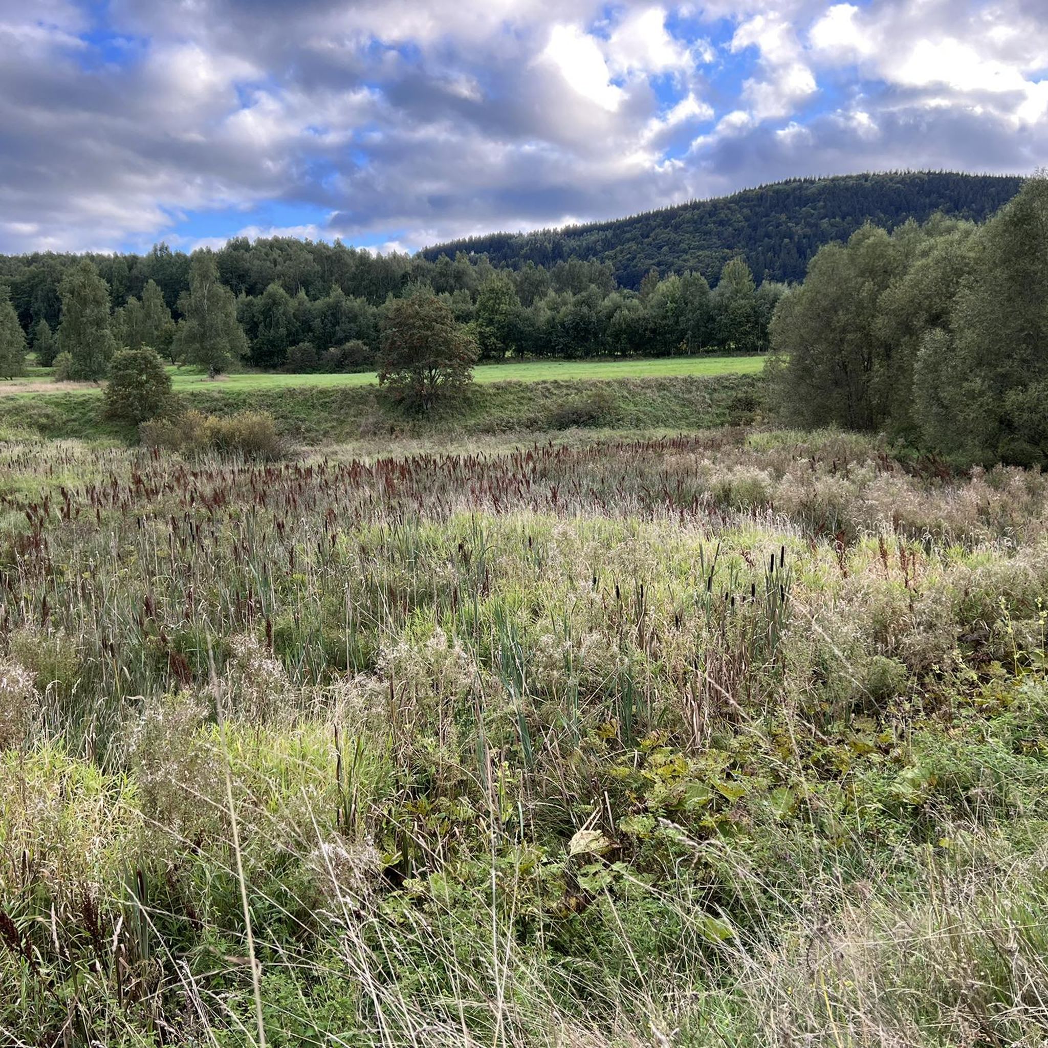
Hiking around gmina Głuszyca
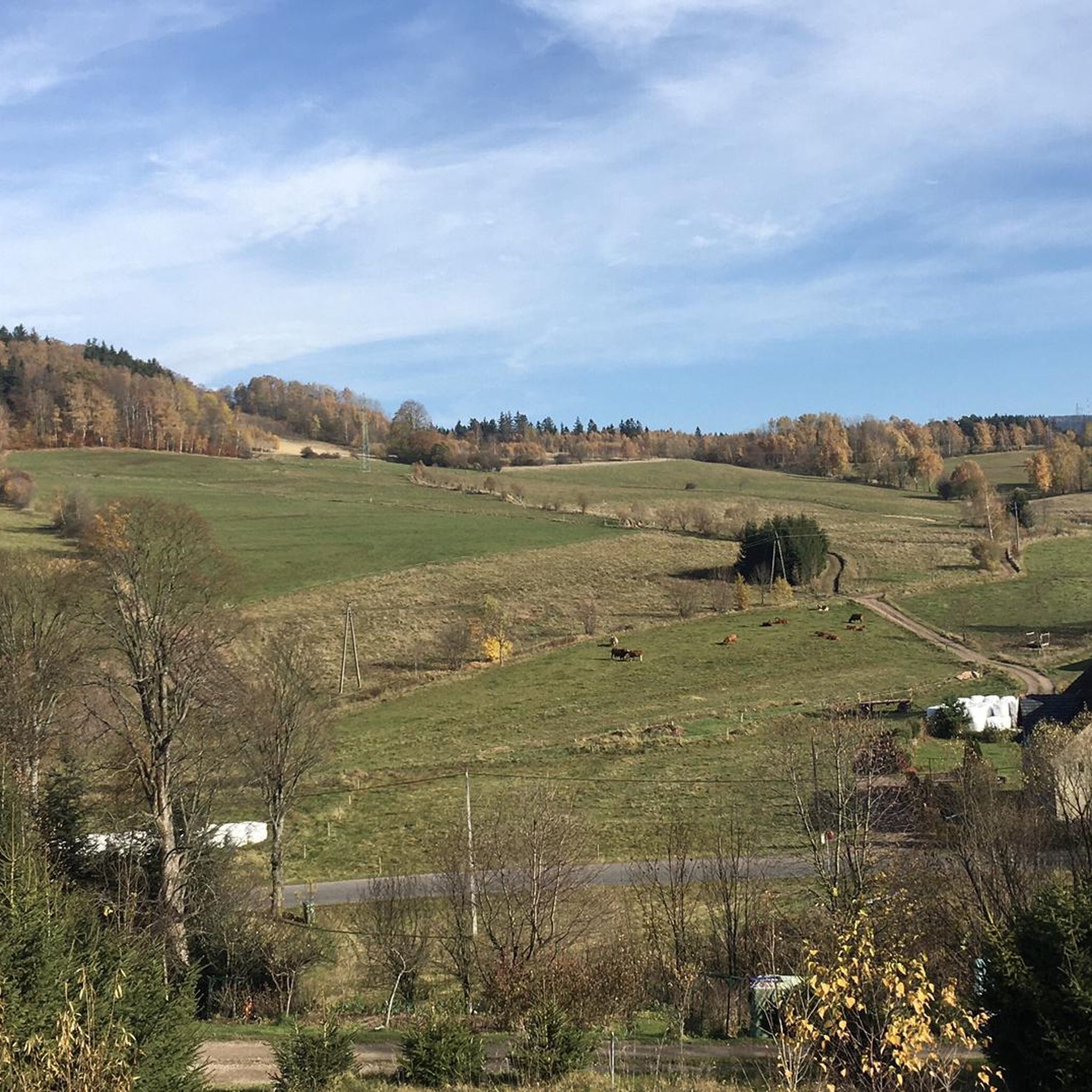
MTB Trails around gmina Głuszyca
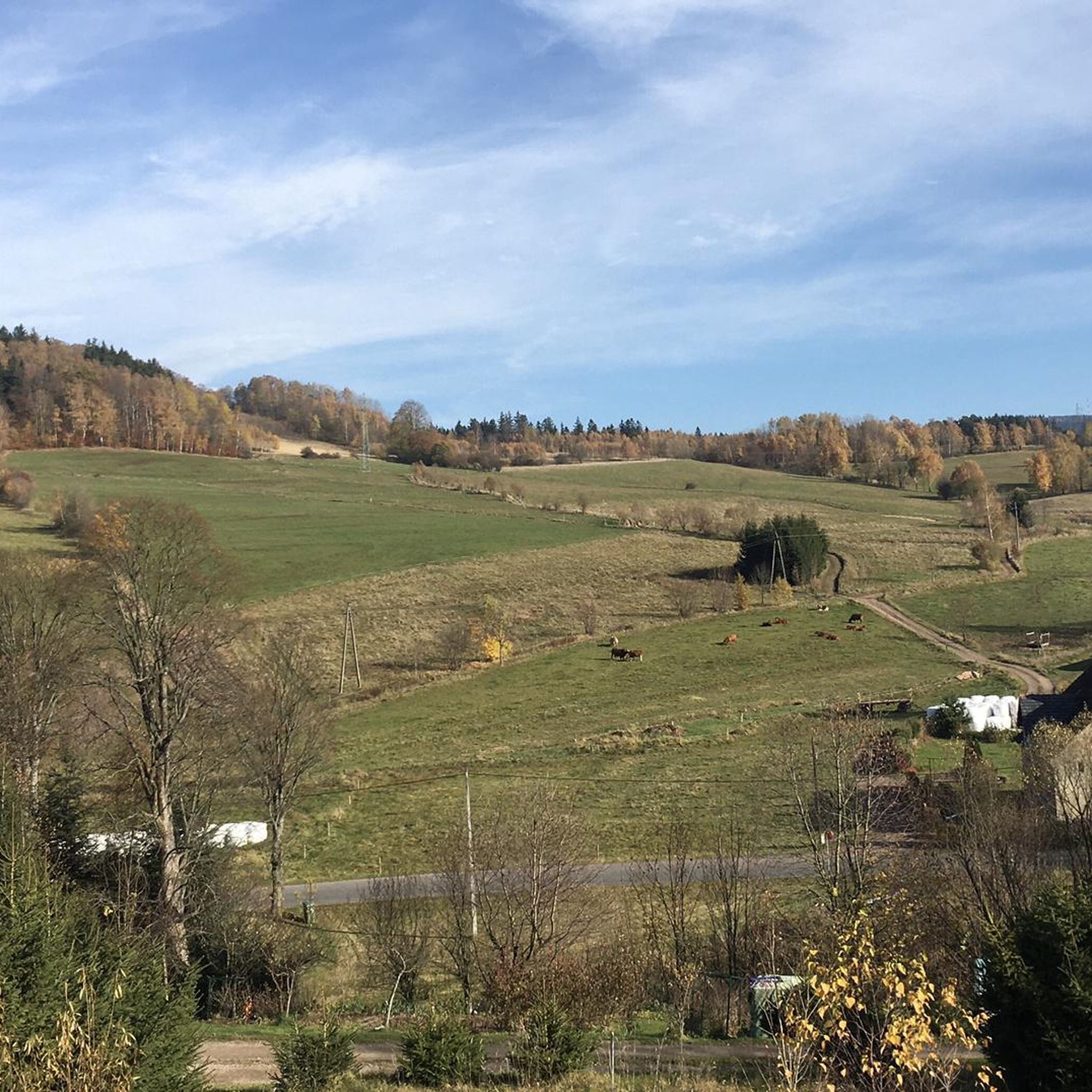
Road Cycling Routes around gmina Głuszyca
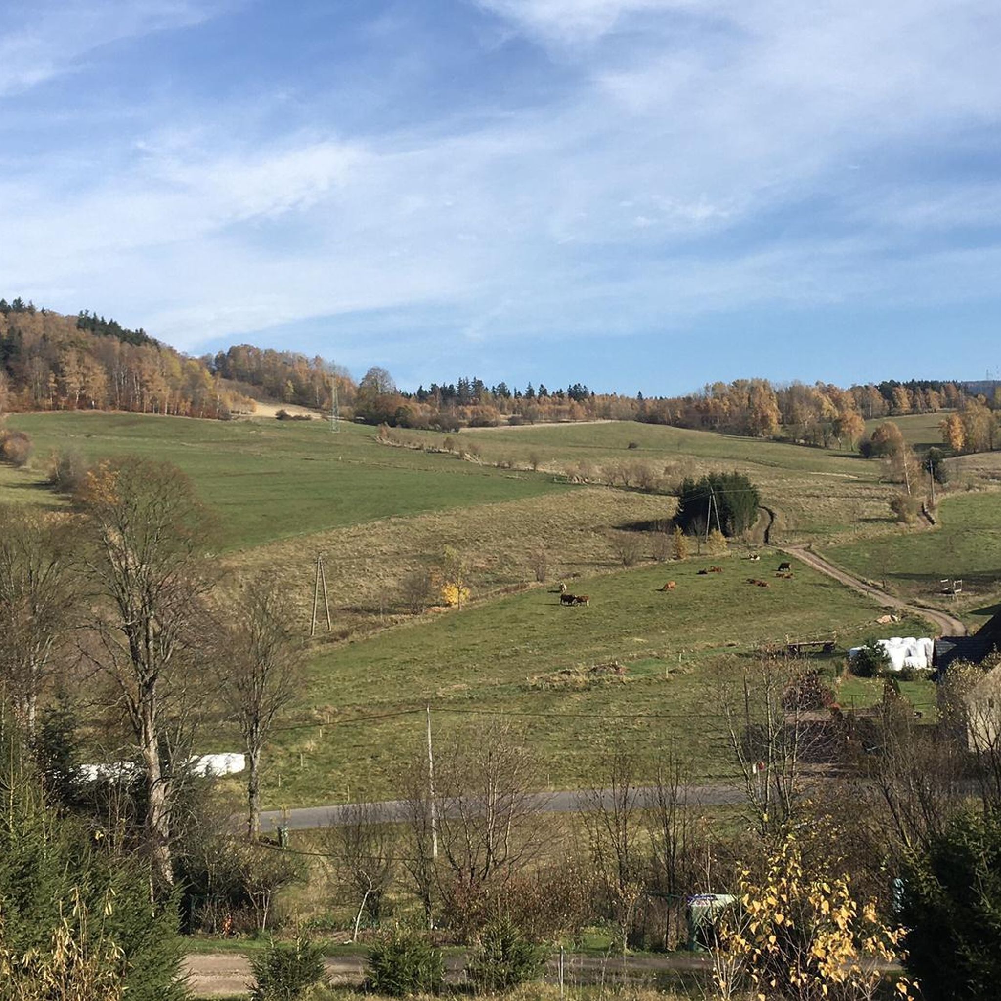
Cycling around gmina Głuszyca

Gravel biking around gmina Głuszyca
Mountain Hikes around gmina Głuszyca


Tips from the Community

The "Włodarz" complex is the largest accessible section of the Riese underground project in the Owl Mountains, hidden on the slopes of Włodarz Mountain between Jugowice, Walim, and Sierpnica. The tour leads through tunnels, guardhouses, and flooded halls—part of the route is covered by pontoon—and above ground you'll see the remains of the AL Wolfsberg camp and construction facilities. There's a small museum and ticket office on site; it's best to schedule a guided tour.
1
0

I conquered it as part of the KGP, unfortunately there are no spectacular views. A tower here would be useful to raise the mountain's viewing rank. From the bottom you can see that there is potential.
1
0

A very iconic place, nice service and in my opinion very affordable prices.
0
0

I recommend the ascent from the Czech side, as the border trail from the Polish side is physically impossible by bike.
0
0

A beautiful shelter on the Three Valleys Pass in the Suche Mountains, just below Waligóra, their highest peak. There is a buffet and a bar here, as well as accommodation (although you have to book) and places to pitch a tent outside. The views, of course, are beautiful, and the Pass itself is a great base for trips cycling trips. A must!
0
0

Very steep approach, I recommend crampons in winter, in summer be careful of roots.
0
0
A beautiful mountain hut on the Three Valleys Pass in the Suche Mountains, just below Waligóra, their highest peak. There's a buffet and bar here, as well as accommodation (though reservations are required) and outdoor camping spots. The views are, of course, beautiful, and the Pass itself is a crossroads of numerous hiking trails, making it a great base for trips. A must!
1
0
Ruprechtický Špičák is the highest peak of the Jastrzębie Mountains on the Czech side, measuring 880 m above sea level, known for its observation tower, from which there is a panorama of the Table Mountains, Broumovské Stěny and Kamienne Mountains. The summit can be reached by gentle, well-maintained trails from the Czech side, as well as trails accessible from the Polish side, including from the Andrzejówka chalet area. This is a good option for a peaceful, all-day trip with the opportunity to admire the extensive views. It is worth taking a passport or ID card, because the route runs across the border, and also provisions, because there are no catering points near the peak.
2
0
Frequently Asked Questions
How many running routes are available in gmina Głuszyca?
There are over 15 dedicated running routes around gmina Głuszyca, offering a variety of experiences for different fitness levels. These trails are highly rated by the komoot community, with an average score of 4.3 stars.
What kind of terrain can I expect on the running trails in gmina Głuszyca?
Jogging in gmina Głuszyca offers a diverse mix of landscapes. You'll encounter mountainous terrain with varied elevations, lush forests, and trails winding through river valleys. The region is nestled between the Sowie Mountains and the Stone Mountains, providing both challenging ascents and scenic, more level sections.
Are there any circular running routes in gmina Głuszyca?
Yes, gmina Głuszyca features several excellent circular running routes. A popular option is the Running loop from Głuszyca Górna, which is a moderate 6.7-mile (10.8 km) trail leading through varied terrain and forests.
What historical sites or landmarks can I see while running in gmina Głuszyca?
You can combine your run with historical exploration. The Soboń Complex Bunkers – Przełęcz Marcowa Shelter loop from gmina Głuszyca passes by significant historical sites, including remnants of the 'Riese' project. Additionally, the ruins of the medieval Rogowiec Castle, once Poland's highest stronghold, offer incredible views and a glimpse into the region's past. You can find a viewpoint near the Rogowiec Castle ruins.
Are there any unique natural features to discover on the running trails?
Absolutely. The region boasts unique natural attractions like the disused Kamyki Quarry in Głuszyca, which resembles a mountain lake and offers a distinct visual experience. You might also encounter interesting rock formations, such as the Rock Gates on the slopes of Rogowiec, adding to the scenic beauty of your run.
Where can I find panoramic views during my run in gmina Głuszyca?
For breathtaking panoramic views, consider routes that ascend to higher elevations. The ruins of Rogowiec Castle, perched at 870 meters above sea level, offer expansive vistas. There's also a new viewing platform on Gomólnik Mały that provides stunning views of Głuszyca and its natural surroundings, making for a rewarding stop or endpoint to your run.
What do other runners enjoy most about the trails in gmina Głuszyca?
The running trails in gmina Głuszyca are highly regarded by the komoot community, with an average rating of 4.3 stars from over 30 reviews. Runners frequently praise the diverse and challenging mountainous terrain, the beauty of the dense woodlands, and the well-maintained network of trails that cater to various fitness levels.
Are there running routes suitable for beginners in gmina Głuszyca?
While many routes feature significant elevation, there are options suitable for those new to running or looking for a less strenuous experience. The region offers 'easily-accessible paths' and moderate trails that allow beginners to enjoy the scenic beauty without excessive difficulty. For example, the Running loop from gmina Głuszyca is a moderate 4.4-mile (7.0 km) trail.
What is the best time of year for jogging in gmina Głuszyca?
Gmina Głuszyca offers beautiful running conditions throughout much of the year. Spring and autumn provide pleasant temperatures and vibrant scenery with changing foliage. Summer is also popular, though some higher elevation trails might be more exposed. Winter running is possible, especially on lower, well-maintained paths, but requires appropriate gear for potentially snowy or icy conditions.
Are the running trails in gmina Głuszyca dog-friendly?
Many of the outdoor trails in gmina Głuszyca are suitable for running with dogs, allowing you and your canine companion to enjoy the natural beauty together. It's always recommended to keep dogs on a leash, especially in areas with wildlife or near other trail users, and to check for any specific local regulations.
Are there family-friendly running routes in gmina Głuszyca?
Yes, gmina Głuszyca offers trails that are suitable for families looking to enjoy a run or walk together. These routes often feature less challenging terrain and provide opportunities to explore nature. Look for shorter, moderate trails that allow for a comfortable pace for all family members.
How long are the running routes in gmina Głuszyca?
The running routes in gmina Głuszyca vary significantly in length. You can find shorter loops, such as the Running loop from gmina Głuszyca at 4.4 miles (7.0 km), up to challenging long-distance trails like the Waligóra Run Cross Half Marathon, which spans 17.0 miles (27.3 km).
Most popular routes around gmina Głuszyca
Most popular attractions around gmina Głuszyca

Get inspired with the komoot mobile app


Explore more
Browse the best Running Trails & Routes in other regions.
