The best walks and hikes around gmina Czernica
4.6
(382)
8,372
hikers
343
hikes
Hiking around gmina Czernica offers diverse natural landscapes, characterized by expansive deciduous forests, numerous lakes, and ponds fed by the Czernicka Struga river. The region includes the Grędzińskie Forests, a Natura 2000 site spanning over 3,000 hectares, featuring ancient oak trees and varied wildlife. The terrain generally presents gentle elevations, with some routes leading to hills and observation points.
Best hiking trails around gmina Czernica
- The most popular hiking route is Odra Oxbow Lake – Kotowice Observation Tower loop from…
Last updated: August 28, 2026
5.0
(2)
113
hikers
Easy hike. Great for any fitness level. Easily-accessible paths. Suitable for all skill levels.
5.0
(2)
31
hikers
4.19km
01:04
10m
10m
Easy hike. Great for any fitness level. Easily-accessible paths. Suitable for all skill levels.

Sign up for free
5.0
(2)
20
hikers
6.76km
01:42
10m
10m
Easy hike. Great for any fitness level. Easily-accessible paths. Suitable for all skill levels.
5.0
(1)
9
hikers
8.30km
02:06
10m
10m
Moderate hike. Good fitness required. Easily-accessible paths. Suitable for all skill levels.
5.0
(5)
10
hikers
Moderate hike. Good fitness required. Easily-accessible paths. Suitable for all skill levels.
Get access to more routes and recommendations from other explorers.
Sign up for free
Already have an account?
Our route recommendations are based on thousands of hikes, rides, and runs completed by other people on komoot.
Start today with a free account
Your next adventure awaits.
Login or Signup

Tips from the Community

Particularly interesting is that Biedronkowo, despite its size, has a rich history: it was formerly known by the German name Betkendorf and is one of the many places in northern Poland whose history is closely linked to East Prussia. Today it is a tranquil residential area with little tourism, but good connections to the surrounding towns.
0
0

Access to the train station. Good quality packed forest road.
0
0
The most beautiful view is in early spring and autumn, when the vegetation is not so dense. In spring and summer it is hard to see anything through the leaves.
0
0

That thing is pretty high! Amazing scenery!
0
0

Lower tire pressure - shaking on the road
0
0

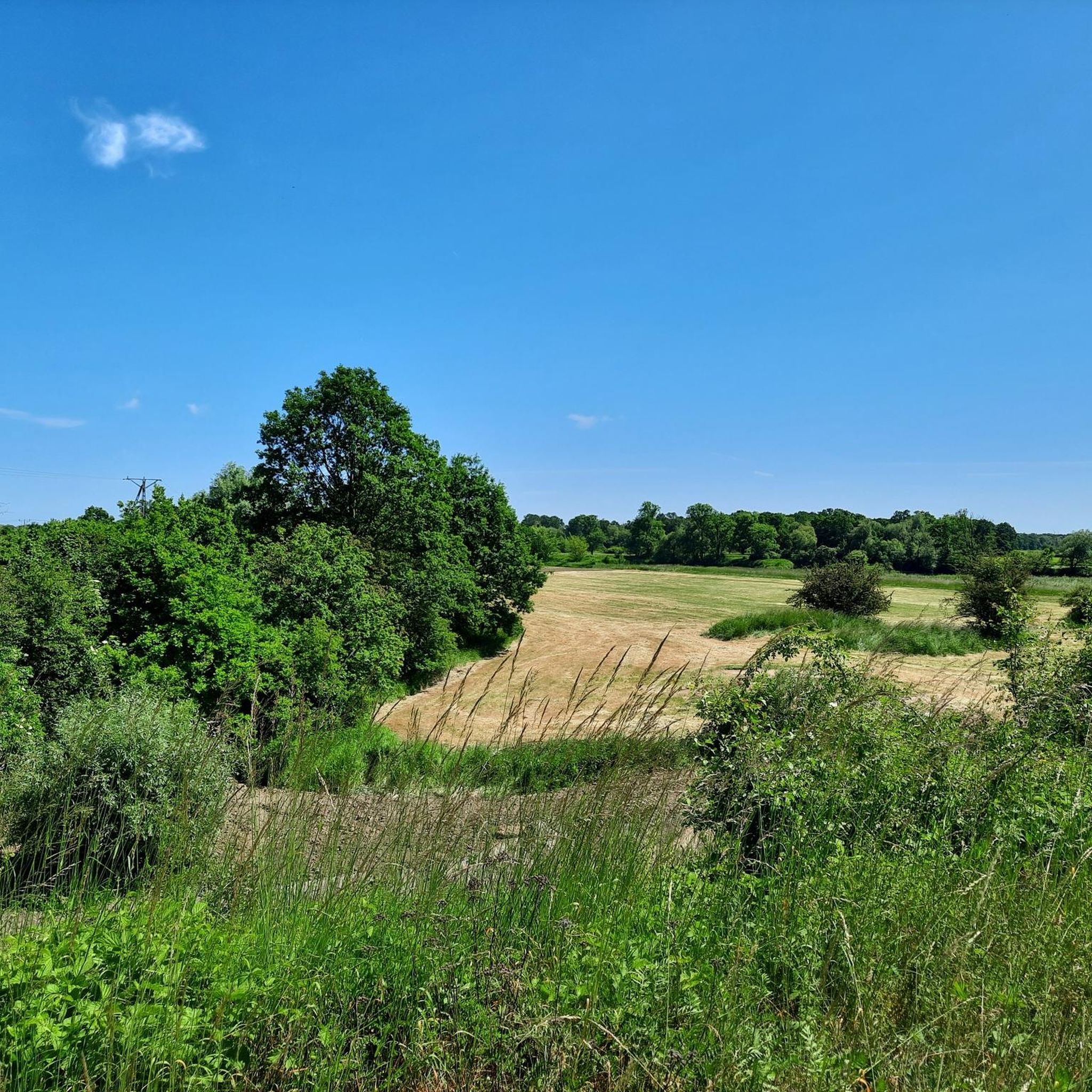
I definitely recommend this embankment as a link between the singletracks at Lake Dziewicze and the paved road to the Kotowice observation tower.
0
0
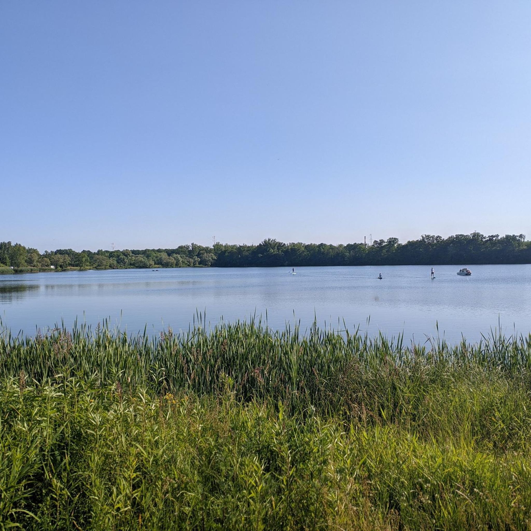
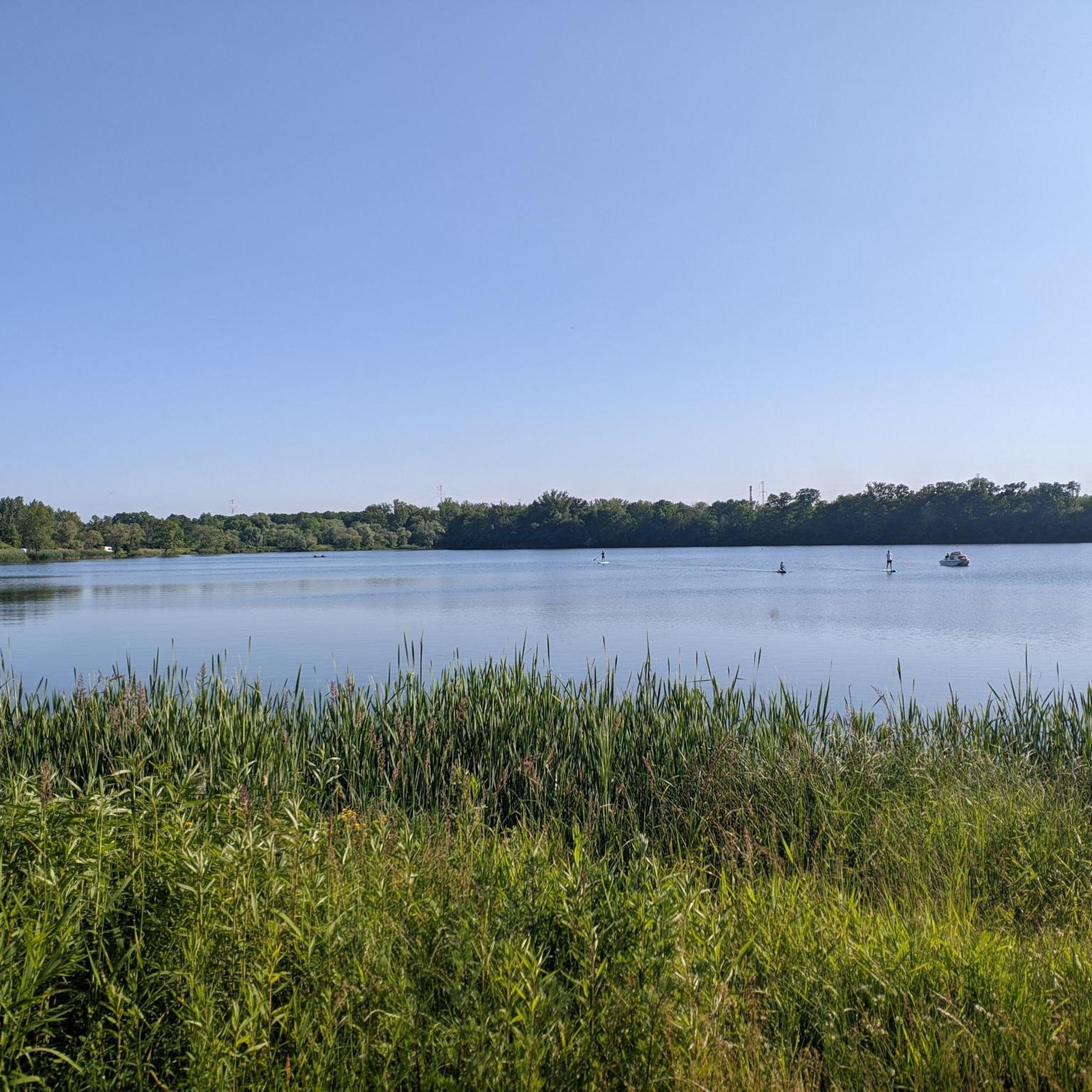
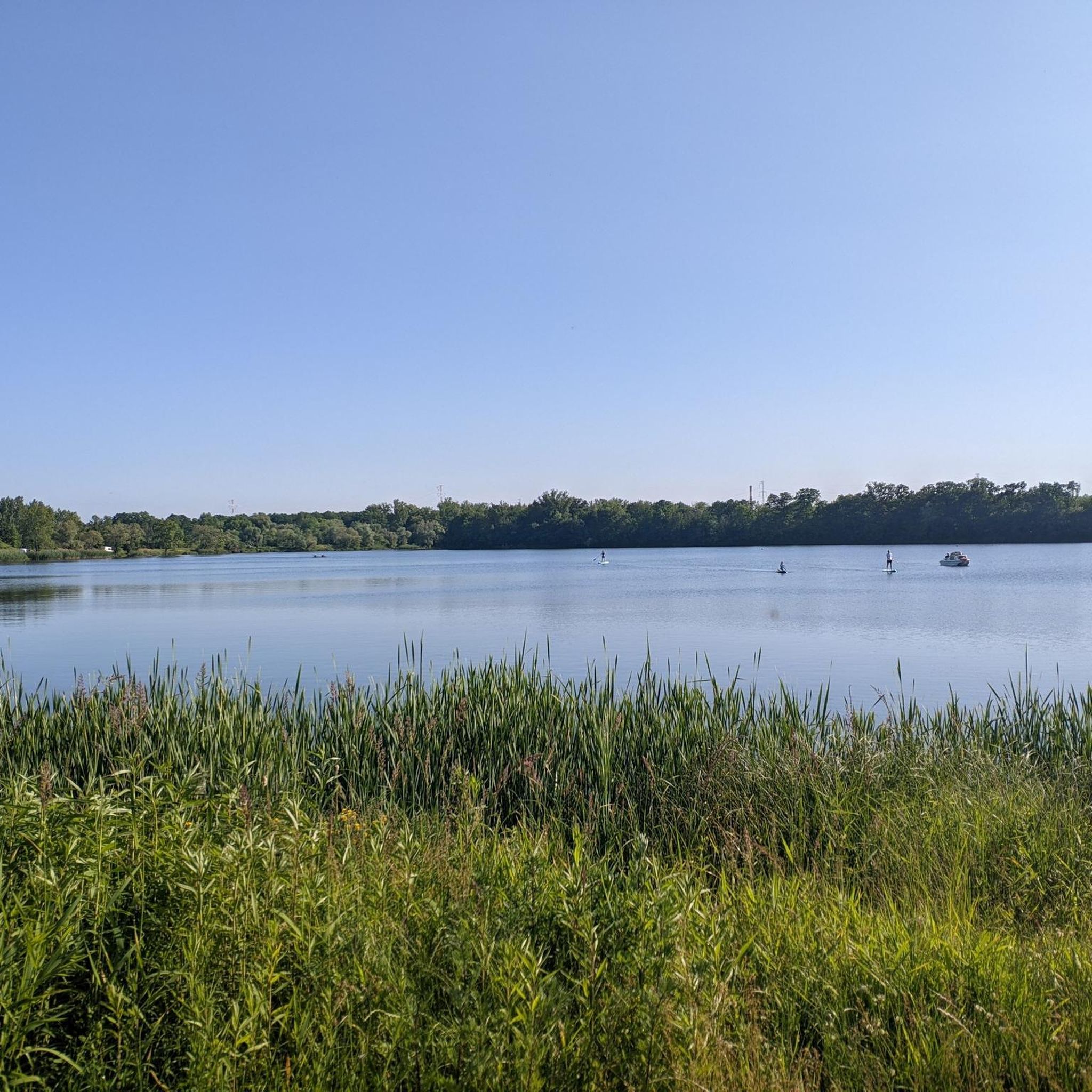
A charming, although sometimes heavily littered place. There is a super single track marked around the lake. Lots of places for camping and a bonfire. There is also a place to go down to the water.
0
0
Frequently Asked Questions
How many hiking trails are available in gmina Czernica?
Gmina Czernica offers a wide selection of hiking routes, with over 275 trails recorded on komoot. This includes a diverse range of options from easy strolls to more challenging paths, ensuring there's something for every hiker.
What kind of terrain can I expect on hikes in gmina Czernica?
The terrain in gmina Czernica is quite varied, characterized by extensive deciduous forests, numerous lakes, and ponds fed by the Czernicka Struga river. You'll find gentle elevations, with some trails leading to hills and viewpoints offering panoramic vistas. The Dziewicze Lake – Forest Gravel Road loop from Kotowice, for instance, takes you through forests on gravel roads.
What do other hikers say about the trails in gmina Czernica?
The hiking trails in gmina Czernica are highly regarded by the komoot community, boasting an impressive average rating of 4.7 stars from over 330 reviews. Hikers often praise the region's picturesque lakes, dense woodlands, and well-maintained paths.
Are there easy hiking trails suitable for beginners in gmina Czernica?
Yes, gmina Czernica is an excellent destination for beginners, with over 185 easy routes available. A great option is the Odra Oxbow Lake – Kotowice Observation Tower loop from Kotowice, which is approximately 3.8 kilometers long and takes about an hour to complete, offering pleasant views.
Can I find more challenging hikes in gmina Czernica?
While many trails are easy to moderate, there are a few more challenging options for experienced hikers. Komoot lists 4 difficult routes in the area. These routes typically feature longer distances or more significant elevation gains, such as the moderate Dziewicze Lake – Kotowice Observation Tower loop from Czernica Wrocławska, which spans over 14 kilometers.
Are there circular hiking routes in gmina Czernica?
Yes, many of the popular trails in gmina Czernica are circular, allowing you to start and end at the same point. Examples include the Opatowice Lock loop from Mokry Dwór, which explores waterside landscapes, and the Odra Oxbow Lake – Kotowice Observation Tower loop from Czernica.
Are there any family-friendly hiking options in gmina Czernica?
Gmina Czernica offers several family-friendly routes, often utilizing sidewalks and paths suitable for all ages. The region's commitment to outdoor recreation includes suggested walking or cycling routes for families, such as those leading to the scenic Przystań Wodna Czernica (Czernica Water Marina).
Can I bring my dog on the hiking trails in gmina Czernica?
Many trails in gmina Czernica are suitable for hiking with dogs, allowing you to enjoy the natural beauty with your canine companion. It's always recommended to keep dogs on a leash, especially in protected areas like the Lasy Grędzińskie Natura 2000 site, and to check local regulations for specific routes.
What natural features or landmarks can I see while hiking in gmina Czernica?
While hiking, you can explore the vast Lasy Grędzińskie (Grędzińskie Forests), a Natura 2000 site known for ancient oak trees. The region is also rich in lakes and ponds, fed by the Czernicka Struga river. You might also encounter historical sites like a former chromium mine along the Circular Route to the Peak of Czernica, or visit nearby attractions such as the Zwinger Garden or the Zwierzyniec Nature Reserve.
Are there any viewpoints offering panoramic vistas in gmina Czernica?
Yes, the gentle hills of gmina Czernica offer several viewpoints. The peak of Czernica itself provides breathtaking panoramic views of the surrounding area. Additionally, the Odra Oxbow Lake – Kotowice Observation Tower loop from Kotowice includes the Kotowice Viewpoint Tower, offering excellent perspectives of Odra Lake.
What is the best time of year to go hiking in gmina Czernica?
Gmina Czernica is beautiful throughout the year, but spring and autumn are particularly popular for hiking. In spring, the deciduous forests burst with new growth, while autumn offers stunning foliage colors. Summer is also pleasant, especially for waterside routes around the numerous lakes and ponds.
Are there places to eat or stay near the hiking trails in gmina Czernica?
Gmina Czernica and its surrounding villages offer various amenities for hikers. While specific cafes and pubs directly on trails might be limited, you can find options for refreshments and accommodation within the gmina, particularly in larger settlements, to relax after your hike.
Most popular routes around gmina Czernica
Most popular attractions around gmina Czernica

Get inspired with the komoot mobile app


Explore more
Browse the best Hikes in other regions.
