The best walks and hikes around Grabica
4.9
(21)
279
hikers
66
hikes
Hiking around Grabica features a landscape characterized by flat terrain, with routes often leading through local parks and along water canals. The region includes natural areas around Jezioro Bugaj (Bugaj Lake), offering views of open water. Elevation changes are minimal, making most trails accessible.
Best hiking trails around Grabica
- The most popular hiking route is Słoneczko Beach – View of Jezioro Bugaj loop from Piotrków Trybunalski, an easy 3.6 miles (5.9 km) trail that takes 1 hour 30 minutes…
Last updated: May 23, 2026
5.0
(1)
19
hikers
Easy hike. Great for any fitness level. Easily-accessible paths. Suitable for all skill levels.
5
hikers
6.28km
01:37
30m
30m
Easy hike. Great for any fitness level. Easily-accessible paths. Suitable for all skill levels.

Sign up for free
7
hikers
4.03km
01:02
10m
10m
Easy hike. Great for any fitness level. Easily-accessible paths. Suitable for all skill levels.
5
hikers
5.13km
01:19
20m
20m
Easy hike. Great for any fitness level. Easily-accessible paths. Suitable for all skill levels.
4
hikers
5.72km
01:28
20m
30m
Easy hike. Great for any fitness level. Easily-accessible paths. Suitable for all skill levels.
Get access to more routes and recommendations from other explorers.
Sign up for free
Already have an account?
Our route recommendations are based on thousands of hikes, rides, and runs completed by other people on komoot.
Start today with a free account
Your next adventure awaits.
Login or Signup

Tips from the Community

Replica of the Łoś airplane, which once crashed there.
0
0
A decaying model of the Moose plane
0
0

A Łoś from the Dłutów forest, one of three bombers from the 212th Bomber Squadron scrambled for flight from the Kuciny airport on September 4, 1939, on a combat mission to bomb German motorized columns in the vicinity of Wieluń. Shortly after takeoff, these three Polish Łoś were intercepted by German Messerschmitts and shot down. One of them crashed in the forest near Dłutów. All crew members survived. The other two planes and their crews were less fortunate. Some of the victims rest in the cemetery in Dłutów. The plane wreck is a modern replica. It is located at the site of the crash on September 4, 1939.
0
0

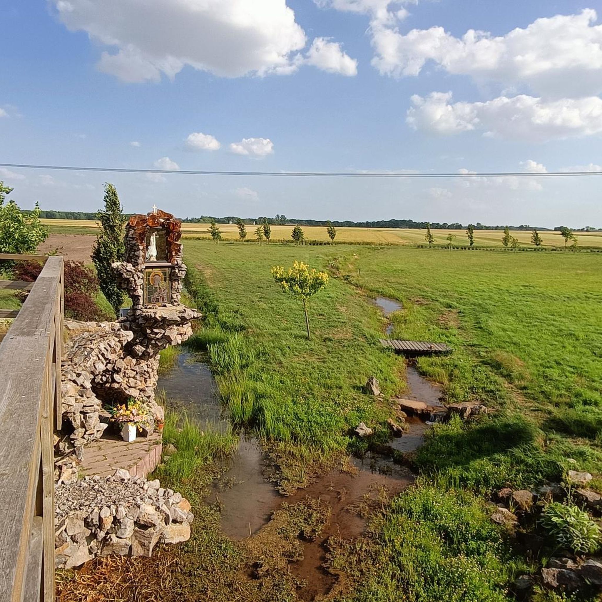
It may not be the French Riviera or even a substitute for Polish Masuria. But as a park with a beach in the city. Quite an interesting development of the place.
0
0

The swimming area at Lake Bugaj has been serving the residents of Piotrków since 2006. "Słoneczko" has an eighty-meter sandy beach. Fans of water attractions can use the rental of water equipment (kayaks, water bikes). For those who prefer to spend more time on the beach, there is a beach volleyball and football pitch. After an active holiday, it is worth visiting the gastronomic garden. A running path has been created around "Słoneczko", which is ideal for practicing, for example, Nordic Walking. The swimming area is marked and guarded by a team of lifeguards. It is also under the supervision of the sanitary inspection. A parking lot has also been prepared. https://cit.piotrkow.pl/informacje-turystyczne-t43/sport-i-rekreacja-a59/kapielisko-sloneczko-r264
3
0
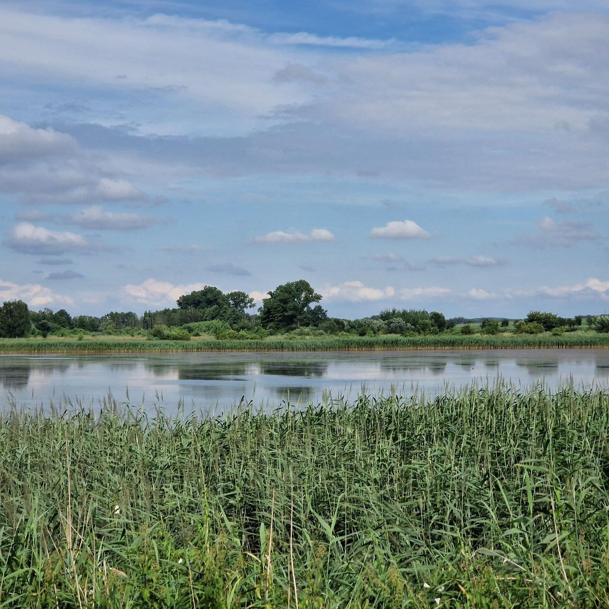
Bugaj is a lake located on the Piotrków Plain, within the city of Piotrków Trybunalski. The reservoir with a surface area of 52 ha does not exceed 4 m in depth. The Wierzejka River, flowing around Piotrków from the north and east, creates the largest reservoir under the city, called Lake Bugaj, between the old roads to the city of Sulejów and the village of Koło. This lake is perfect for spending a family vacation combined with a fishing adventure. https://wedkuje.pl/l/jezioro-bugaj/29892
3
0

An interesting monument with an interesting history 👍
0
0
An interesting monument with an interesting history.
0
0
Frequently Asked Questions
How many hiking trails are available in Grabica?
Grabica offers a diverse network of over 30 hiking trails. Most of these, around 31, are considered easy, with 8 moderate options for those seeking a bit more challenge. There are no difficult trails in the region, making it accessible for many.
What are the typical distances and elevation changes for hikes in Grabica?
Hikes in Grabica generally feature flat terrain with minimal elevation changes. For example, the Słoneczko Beach – View of Jezioro Bugaj loop from Piotrków Trybunalski is about 3.6 miles (5.9 km) with only 24 meters of elevation gain. Most routes are similar, making them suitable for leisurely walks.
What do other hikers enjoy most about hiking in Grabica?
The komoot community highly rates the hiking experience in Grabica, with an average score of 4.9 stars from over 15 reviews. Hikers often praise the region's flat, accessible trails, the scenic views of Jezioro Bugaj, and the peaceful routes through local parks and along water canals.
What is the best time of year to hike in Grabica?
Grabica's flat terrain and park-like settings make it enjoyable for hiking throughout much of the year. Spring and autumn offer pleasant temperatures and colorful scenery. Summer is also popular, especially around Jezioro Bugaj, while winter hikes are possible, though conditions may vary.
Are there easy hiking trails in Grabica?
Yes, Grabica is known for its abundance of easy hiking trails. Out of over 30 routes, 31 are classified as easy. A great example is the Water Canal in the Park loop from Osiedle Południe, which is an easy 2.4 miles (3.8 km) path through parkland.
Are there circular hiking routes available in Grabica?
Yes, many of the trails in Grabica are designed as circular routes, perfect for starting and ending at the same point. Popular options include the Słoneczko Beach – View of Jezioro Bugaj loop from Piotrków Trybunalski and the Hiking loop from gmina Dłutów.
Are there any wheelchair-accessible trails in Grabica?
While specific wheelchair-accessible certifications are not listed, Grabica's landscape is predominantly flat with minimal elevation changes, often featuring paths through parks and along canals. This makes many routes, like those around Jezioro Bugaj, potentially suitable for users with mobility aids, though it's always best to check specific trail conditions.
Are dogs allowed on hiking trails in Grabica?
Generally, dogs are welcome on hiking trails in Grabica, especially on the numerous paths through parks and rural areas. It's always recommended to keep dogs on a leash and clean up after them to ensure a pleasant experience for all hikers and to protect local wildlife.
Are there family-friendly hiking options in Grabica?
Grabica is an excellent destination for family-friendly hikes due to its flat terrain and easy trails. Routes like the Water Canal in the Park loop from Osiedle Belzacka offer manageable distances and pleasant scenery suitable for all ages, including younger children.
Is parking available at the trailheads in Grabica?
Parking availability varies by trailhead. For routes starting near urban areas or popular spots like Jezioro Bugaj, you can often find designated parking areas. For trails in more rural settings, roadside parking might be an option. It's advisable to check the starting point of your chosen route on komoot for specific parking information.
Can I reach hiking trails in Grabica using public transport?
Depending on your starting point, some hiking trails in Grabica may be accessible via local public transport, particularly those originating from or passing through towns like Piotrków Trybunalski. However, for more remote trailheads, personal transport might be more convenient. We recommend checking local bus schedules and routes for specific access points.
Are there cafes or places to eat near the hiking trails in Grabica?
Yes, especially near more populated areas or popular attractions like Jezioro Bugaj, you can find cafes or eateries. For instance, near Słoneczko Beach, there might be options for refreshments. For trails in rural areas, it's best to pack your own snacks and drinks.
What kind of wildlife can I expect to see while hiking in Grabica?
While hiking in Grabica, particularly along water canals and around Jezioro Bugaj, you might encounter various bird species. The rural areas also offer opportunities to spot common woodland animals. Keep an eye out for waterfowl near the lake and smaller mammals in the parklands.
What interesting landmarks or attractions can I find near Grabica's hiking trails?
Near Grabica's hiking trails, you can explore several interesting landmarks. These include historical sites like the landing site of the sampler PZL P.37 Elk and the PZL.37 Łoś Bomber Replica and Memorial. You can also visit the Church of the Assumption of the Blessed Virgin Mary in Milejów or relax at Słoneczko Beach on Jezioro Bugaj.
Most popular attractions around Grabica

Get inspired with the komoot mobile app


Explore more
Browse the best Hikes in other regions.
