The best cycling routes around gmina gmina Szprotawa
4.8
(124)
536
riders
56
rides
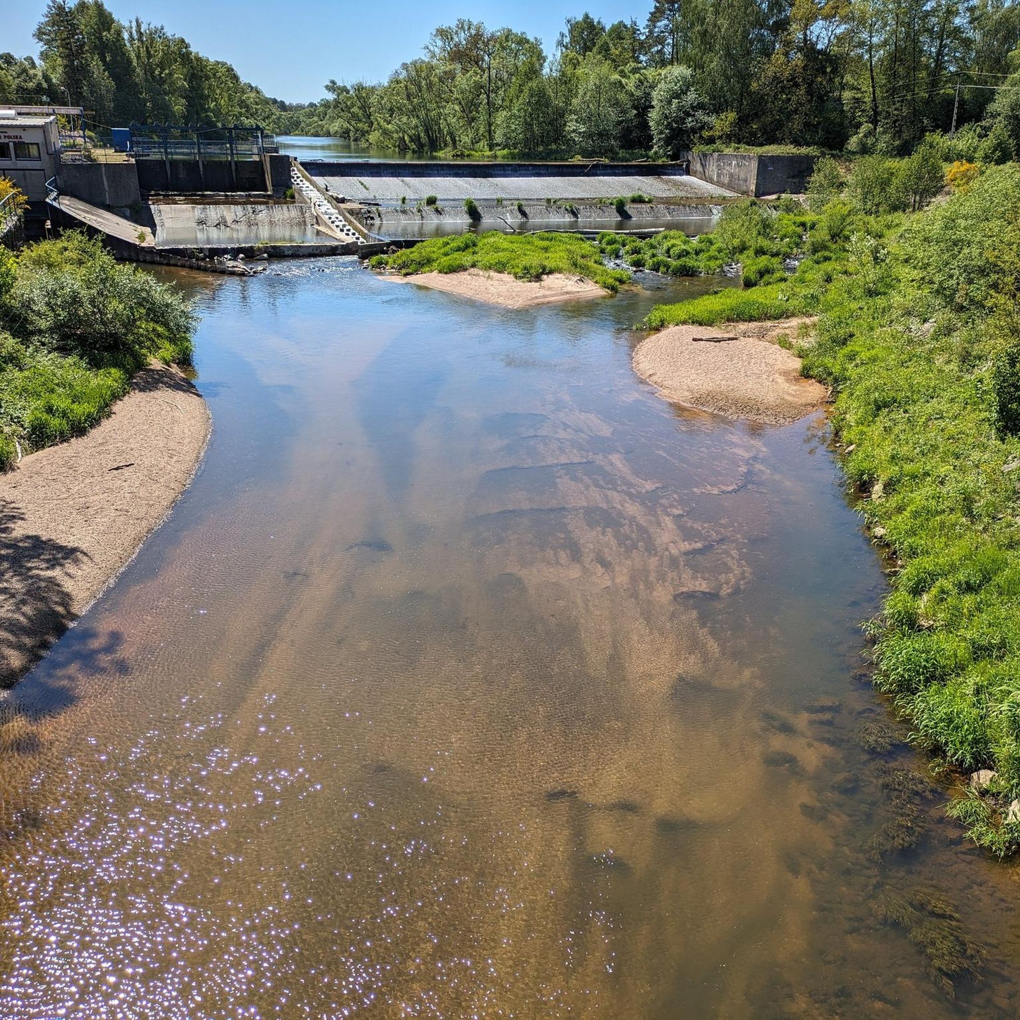
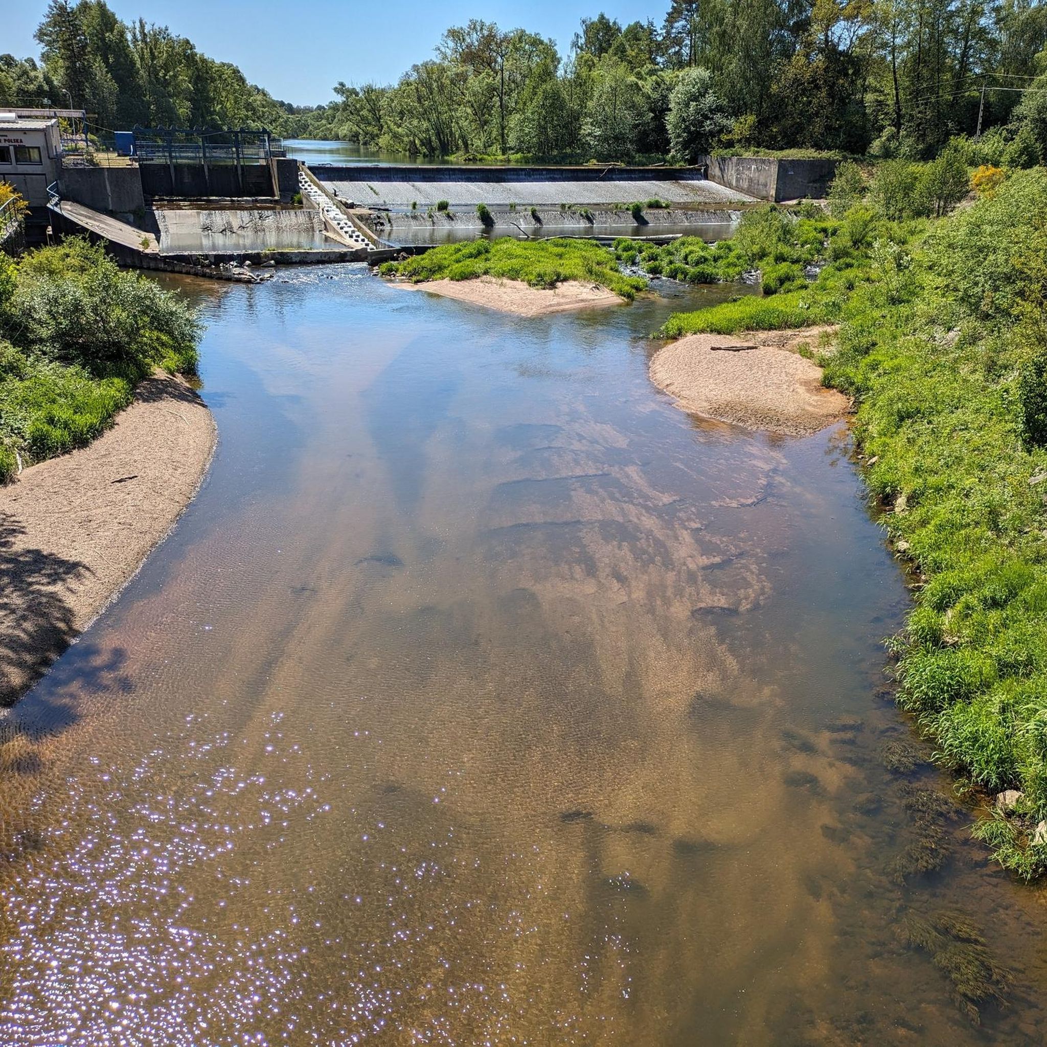
Touring cycling around gmina gmina Szprotawa offers a diverse landscape characterized by forests, rivers, and a network of cycling routes. The region is situated within the Lower Silesian Forests, providing scenic paths through wooded areas and alongside natural features like the Bóbr River and various ponds. Terrain varies from relatively flat sections to areas with gentle elevation changes, accommodating different cycling preferences.
Best touring cycling routes around gmina gmina Szprotawa
- The most popular touring cycling route is Bóbr River at…
Last updated: July 4, 2026
4.6
(5)
22
riders
Easy bike ride. Great for any fitness level. Mostly paved surfaces. Suitable for all skill levels.
4.7
(7)
15
riders
32.7km
02:05
90m
90m
Moderate bike ride. Good fitness required. Mostly paved surfaces. Suitable for all skill levels.

Sign up for free
4.8
(8)
23
riders
36.5km
02:07
130m
130m
Moderate bike ride. Good fitness required. Mostly paved surfaces. Suitable for all skill levels.
5.0
(1)
10
riders
39.0km
02:15
100m
100m
Moderate bike ride. Good fitness required. Mostly paved surfaces. Suitable for all skill levels.
5.0
(2)
11
riders
38.0km
02:16
100m
100m
Moderate bike ride. Good fitness required. Mostly paved surfaces. Suitable for all skill levels.
Get access to more routes and recommendations from other explorers.
Sign up for free
Already have an account?
Our route recommendations are based on thousands of hikes, rides, and runs completed by other people on komoot.
Start today with a free account
Your next adventure awaits.
Login or Signup

Tips from the Community

Wiechlice: signpost TO ZAUCHE/GLOGAU
0
0
Palace from 1681 rebuilt at the end of the 18th century and enlarged with an annex with a tower on the south side.
0
0

The intersection of the Kolej na Rower cycle route with the Velo Sprotavia cycle route, or more precisely the exit from the former to the connection with the latter, is of significant importance in connecting the Nowa Sól and Żagań poviats.
0
0

Unfortunately, this cycle path is not completely finished. The final layer of asphalt over the concrete slabs is missing. The cycle path is apparently rarely cleared and cleaned, which means that you have to cycle very slowly in some sections. The connection to the cycle path at the former Stypułów train station leads along an unpaved gravel road.
0
0
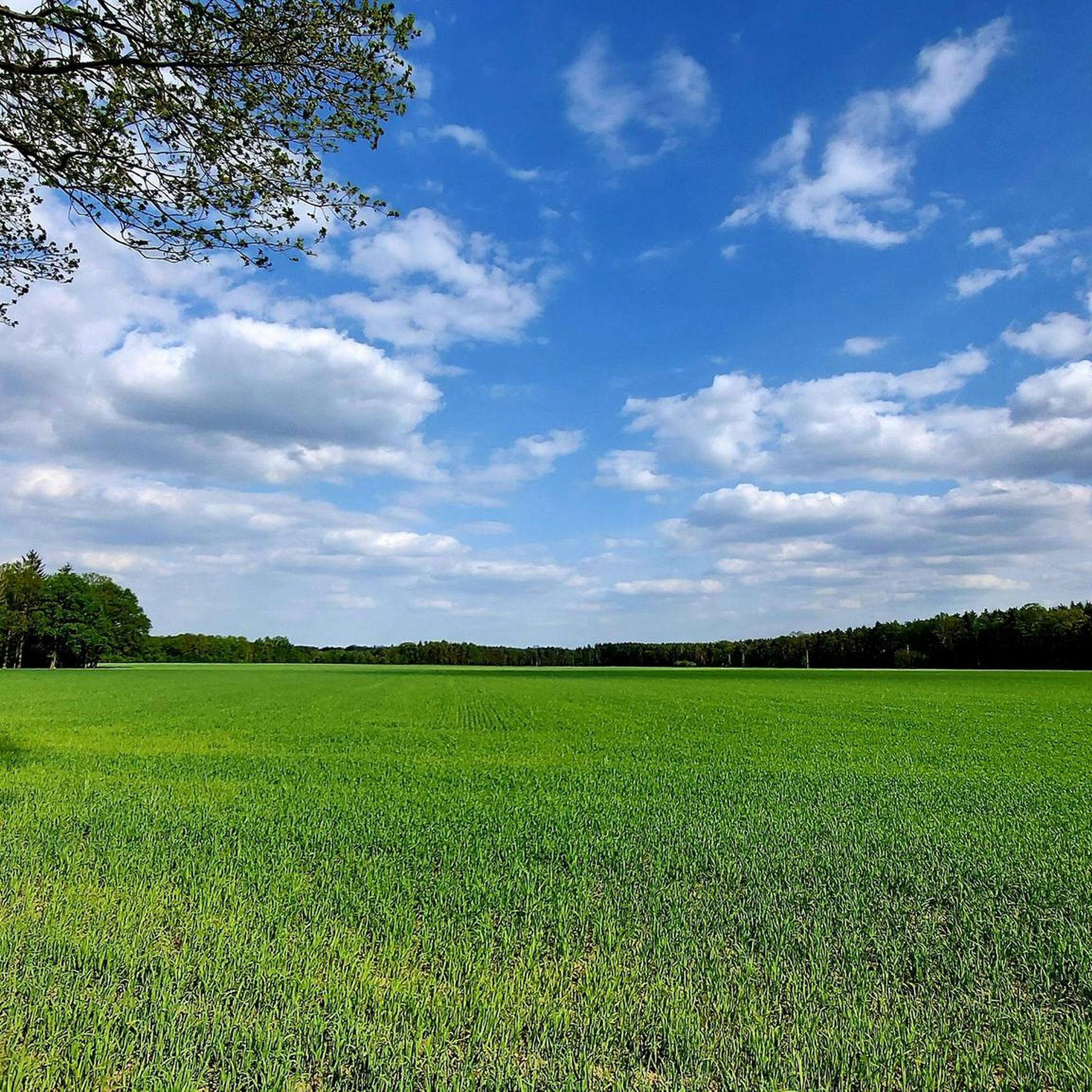
VELO SPROTAVIA is a strategic cycling path in the southern Lubusz Voivodeship. It runs vertically through the Szprotawa commune, from the town of Szprotawa to the village of Stypułów. At the former railway station in Stypułów, it connects with the regional RAILWAY TO BIKE path, which runs to Kożuchów, Nowa Sól, Otyń, Konotop, and the border with the Wielkopolska Voivodeship. The total length of VELO SPROTAVIA is 16 km. The route follows the former Szprotawa-Zielona Góra railway line (1911-1955), along the Szprotawa-Kartowice-Witków-Siecieborzyce-Stypułów section. Initially, the path runs parallel to the district road towards Kartowice, a short distance away. We ascend a gentle hill (141 m above sea level), offering a panoramic view of the surrounding area. Under favorable conditions, we can see the Karkonosze and Jizera Mountains from here. The agricultural landscape is only interrupted by a strip of trees growing along the path, with a significant proportion of fruit trees. According to legend, former passengers of the Zielona Góra railway, by throwing fruit pits out of the train windows, contributed to the creation of a linear orchard of plums, apples, pears, and cherries. From the hill, we descend pleasantly all the way to Kartowice itself, where, near the ruins of the village railway station, a cyclist service area (MOR) has been built, complete with a shelter, table, benches, parking spaces, and a bicycle repair module. No one will likely object if we pitch a tent near the shelter if necessary. It's a very atmospheric place. Near the shelter, we'll see a monument to the residents of Kartowice (Kortnitz in German) who died on the front lines of World War I. After a rest in Kartowice, we head further north, towards Witków. Soon, the agricultural landscape will transform into forest. This preservation owes its historical preservation to the fact that since the Middle Ages, this has been an inviolable border between the duchies of Głogów and Żagań. The forest preserves fragments of the famous Silesian Ramparts, built in the 15th/16th centuries, a kind of border barrier. All the preserved sections of the Silesian Ramparts constitute the longest archaeological site in Poland. The Szprotawa Land Museum holds a unique boundary marker from this forest. Nearby, by the district road, we come across a 19th-century stone signpost pointing the way towards Borowina (orig. "nach Hartau"). Old maps show peculiar enclaves in this area, such as Wilczy zaułek (Wilczy Lane), Krowie Bagno (Ciche Hill).
0
0
The Silesian Ramparts are the longest archaeological site in Poland. This medieval structure is considered the equivalent of the famous Great Wall of China. These are the until-recently-mysterious Silesian Ramparts, built in the 14th and 15th centuries on the border of the former Duchy of Głogów. The medieval Szprotawa District (districtus sprotaviensis) bordered the Duchy of Żagań to the west and the Duchy of Jawor to the south. The structure was enormous considering the local conditions. A system of ramparts and ditches was painstakingly constructed over several dozen kilometers, terminating at rivers or marshes. Sometimes the fortifications were so strong that they consisted of up to four adjacent ramparts. Hedges were planted and maintained on their crests to prevent sudden intrusions into the duchy. To give you an idea, at some sites the fortification system was over 40 meters wide with the height of the ramparts being about 2.5 meters!
0
0
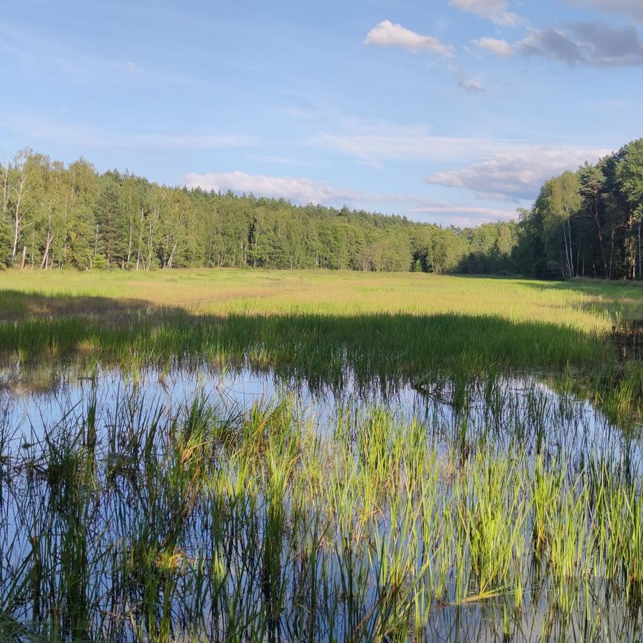
The Bobrowice Loop - marked fire road no. 26, distinguished by its paved surface and additionally marked with stone signposts with the inscription "Bobrowicka Loop". The route begins in Nowa Kopernia and leads into the Lower Silesian Forest. It passes by the historic Stone Signposts and through the Bobrowice Ponds, above which there is a "Śniadanisko" (Sandbox) with a wooden shelter, benches, tables and a place for a safe bonfire. Two ecological sites have been established here: "Łabędzi Staw" (Swan Pond) and "Żurawie Bagno" (Cranes' Bagno). This is an area inhabited by cranes and a hunting ground for white-tailed eagles. The route is intersected by the Silesian Ramparts (the longest archaeological site in Poland). The 11.3 km long tourist route ends at the Forester's Lodge in Bobrowice - currently the "Nad Bobrem" agritourism farm.
1
0
To get here, you have to deviate a bit from the gravel road into the forest.
0
0
Frequently Asked Questions
How many touring cycling routes are available in Gmina Szprotawa?
Gmina Szprotawa offers an extensive network of over 35 touring cycling routes. These routes cover a total distance of more than 5,800 km, providing a wide range of options for exploration.
What kind of terrain can I expect on touring cycling routes in Gmina Szprotawa?
The terrain in Gmina Szprotawa is quite varied. You'll find relatively flat sections, especially along river valleys like the Bóbr, and through the expansive Lower Silesian Forests. Some routes also feature gentle elevation changes, with ascents up to 646 meters in the broader region, offering a mix of relaxed rides and more moderate challenges. For example, the Stypułów Train Station – Nowa Sól–Stypułów Rail Trail loop has an elevation gain of around 118 meters.
Are there easy touring cycling routes suitable for families or beginners?
Yes, Gmina Szprotawa has many easy routes perfect for families and beginners. Out of the available routes, 21 are classified as easy. A great option is the Bóbr River at Szprotawa – Szprotawa Town Hall loop from gmina Szprotawa, which is an easy 21.9 km trail following the Bóbr River and passing through the town center.
Can I find more challenging touring cycling routes in the area?
While many routes are easy to moderate, there are a few more challenging options for touring cyclists seeking a greater workout. The region's diverse landscape, including areas with more significant elevation changes, allows for routes that test your endurance. There are 2 routes classified as difficult, and 15 as moderate, such as the Bóbr River at Szprotawa – Knight's Tower loop from Parking Park Huta, which covers nearly 38 km with about 97 meters of elevation gain.
What are some scenic natural attractions I can explore by bike?
The region is rich in natural beauty. You can cycle through parts of the Lower Silesian Forest, past significant ecological sites like the Bobrowice Ponds (including Łabędzi Staw and Żurawie Bagno, known for cranes and white-tailed eagles). A unique natural monument, the Kozłowska Desert, with its exposed sand dunes, is also nearby and offers a striking landscape for exploration.
Are there historical or cultural sites to visit along the routes?
Yes, touring cyclists can incorporate historical and cultural stops into their rides. You might encounter sites like the 14th-century Church in Rudawica. The area also features several castles and palaces, such as the Drwalewice Palace, Kożuchów Castle, and the Knight's Tower in Witków. The Church of the Virgin Mary in Kożuchów is another notable religious building.
What do other touring cyclists enjoy most about cycling in Gmina Szprotawa?
The komoot community highly rates the routes in Gmina Szprotawa, with an average score of 4.8 stars from over 80 reviews. Cyclists often praise the varied terrain, the scenic paths through the Lower Silesian Forest, and the routes along the Bóbr River and past local ponds. The well-developed network, including the Velo Sprotavia Cycling Route, is also a highlight.
Are there circular touring cycling routes available?
Many of the touring cycling routes in Gmina Szprotawa are designed as loops, making them convenient for starting and ending at the same point. Examples include the popular Szprotawa Town Hall – Ponds loop from Leszno Górne, which takes you through areas with local ponds, and the Małomice Reservoir – Bóbr River at Szprotawa loop from Szprotawa.
Is it possible to access cycling routes using public transport?
Gmina Szprotawa benefits from its location with important communicative routes intersecting there. While specific public transport connections directly to trailheads are not detailed, the general infrastructure suggests accessibility. For routes utilizing former rail lines, like the Stypułów Train Station – Nowa Sól–Stypułów Rail Trail loop, proximity to train stations might offer public transport options, though it's advisable to check local schedules.
What is the best time of year for touring cycling in Gmina Szprotawa?
While specific seasonal recommendations are not provided, the diverse natural landscapes, including forests and river paths, suggest that spring and autumn would offer pleasant temperatures and beautiful scenery. Summer can also be enjoyable, especially for rides through shaded forest areas. Always check local weather conditions before heading out.
Are there any specific routes that are less crowded?
Given the extensive network of over 35 routes, it's possible to find less crowded options, especially away from the most popular trails. Exploring routes that delve deeper into the Lower Silesian Forest or those slightly off the main paths might offer a more tranquil experience. The variety of routes ensures that you can often find a peaceful ride.
Most popular routes around gmina gmina Szprotawa
Most popular attractions around gmina gmina Szprotawa

Get inspired with the komoot mobile app


Explore more
Browse the best Cycling routes in other regions.
