The best running trails around gmina Dobra
5.0
(5)
588
runners
32
runs
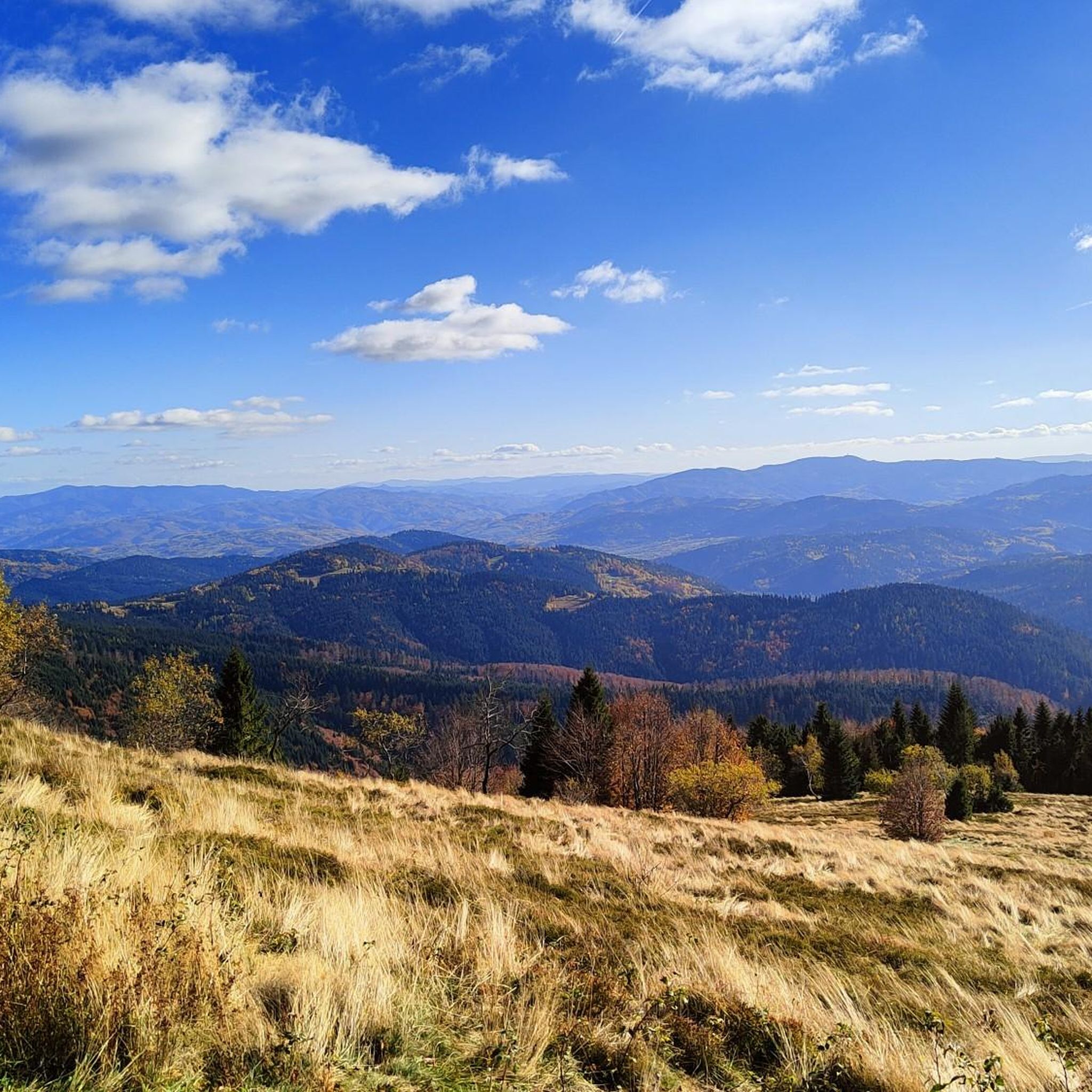
Jogging around gmina Dobra offers a diverse natural landscape within the Beskid Wyspowy mountain range in southern Poland. The region is characterized by distinct, isolated peaks with steep, forested slopes and flat summits, separated by deep valleys. Extensive forest complexes provide shaded paths and clean air, while numerous stream valleys and rivers like the Łososina create scenic routes. This varied topography provides options for different levels of challenge, from gentle ascents to more demanding mountain runs.
Best jogging routes around…
Last updated: July 7, 2026
5.0
(3)
46
runners
21.6km
03:02
1,010m
1,010m
Hard run. Very good fitness required. Mostly paved surfaces. Suitable for all skill levels.
27
runners
32.1km
04:29
1,540m
1,540m
Hard run. Very good fitness required. Mostly paved surfaces. Suitable for all skill levels.

Sign up for free
42
runners
20.7km
02:52
1,020m
1,020m
Hard run. Very good fitness required. Mostly accessible paths. Some sure footedness required.
5.0
(1)
37
runners
7.17km
01:07
450m
450m
Hard run. Very good fitness required. Mostly paved surfaces. Suitable for all skill levels.
29
runners
20.2km
02:56
960m
960m
Hard run. Very good fitness required. Mostly paved surfaces. Suitable for all skill levels.
Get access to more routes and recommendations from other explorers.
Sign up for free
Already have an account?
Our route recommendations are based on thousands of hikes, rides, and runs completed by other people on komoot.
Start today with a free account
Your next adventure awaits.
Login or Signup
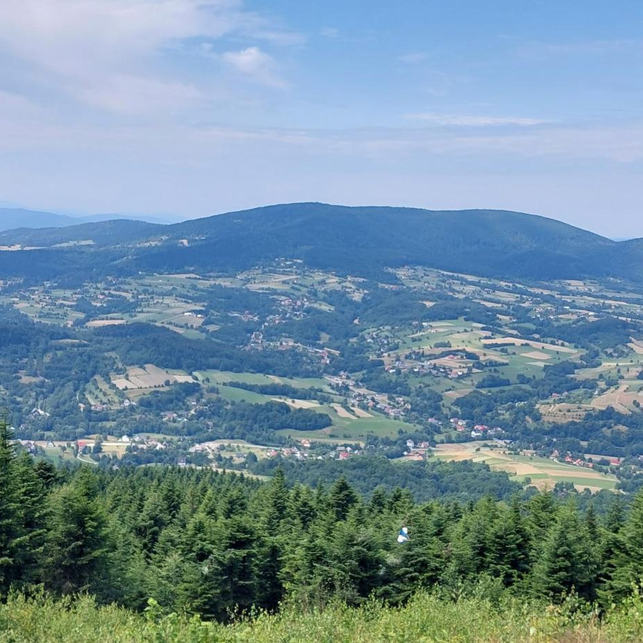
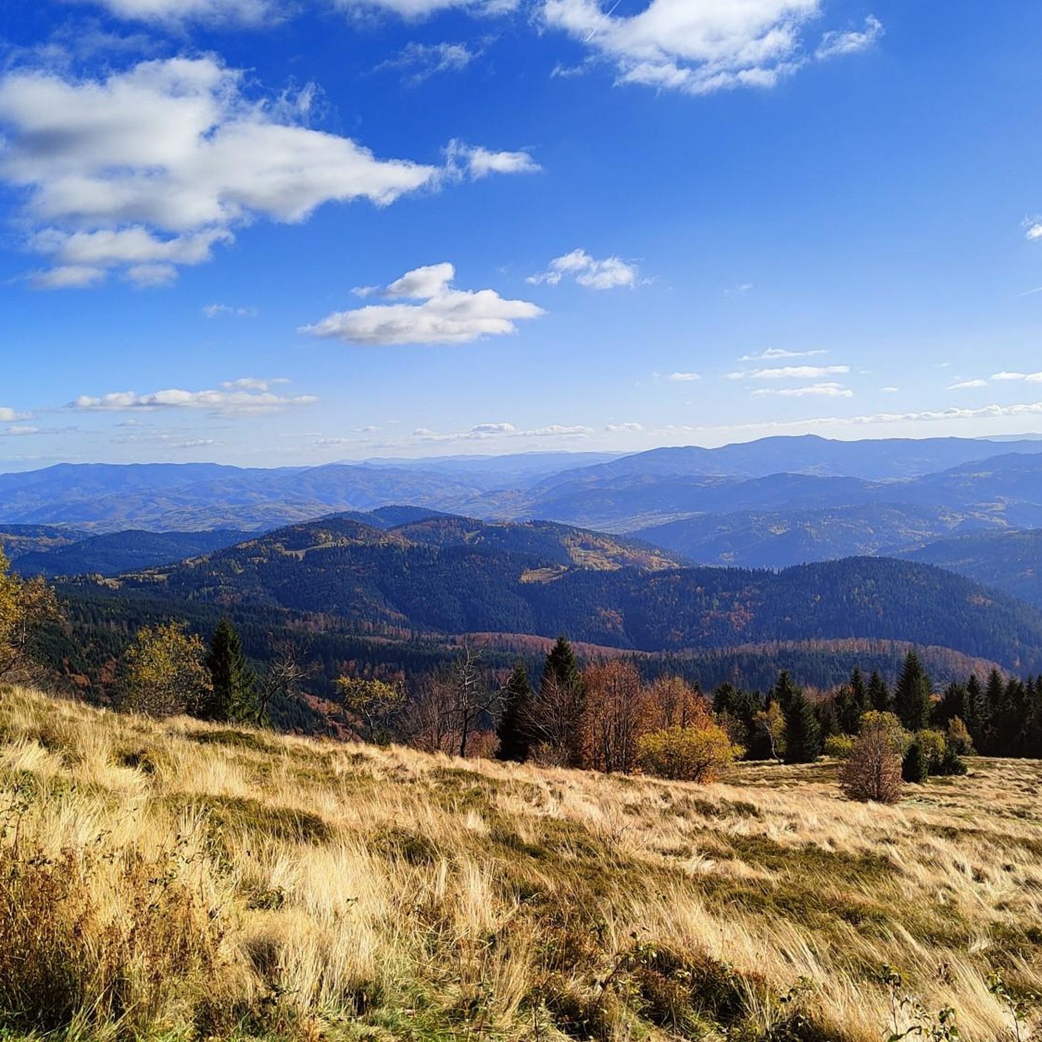
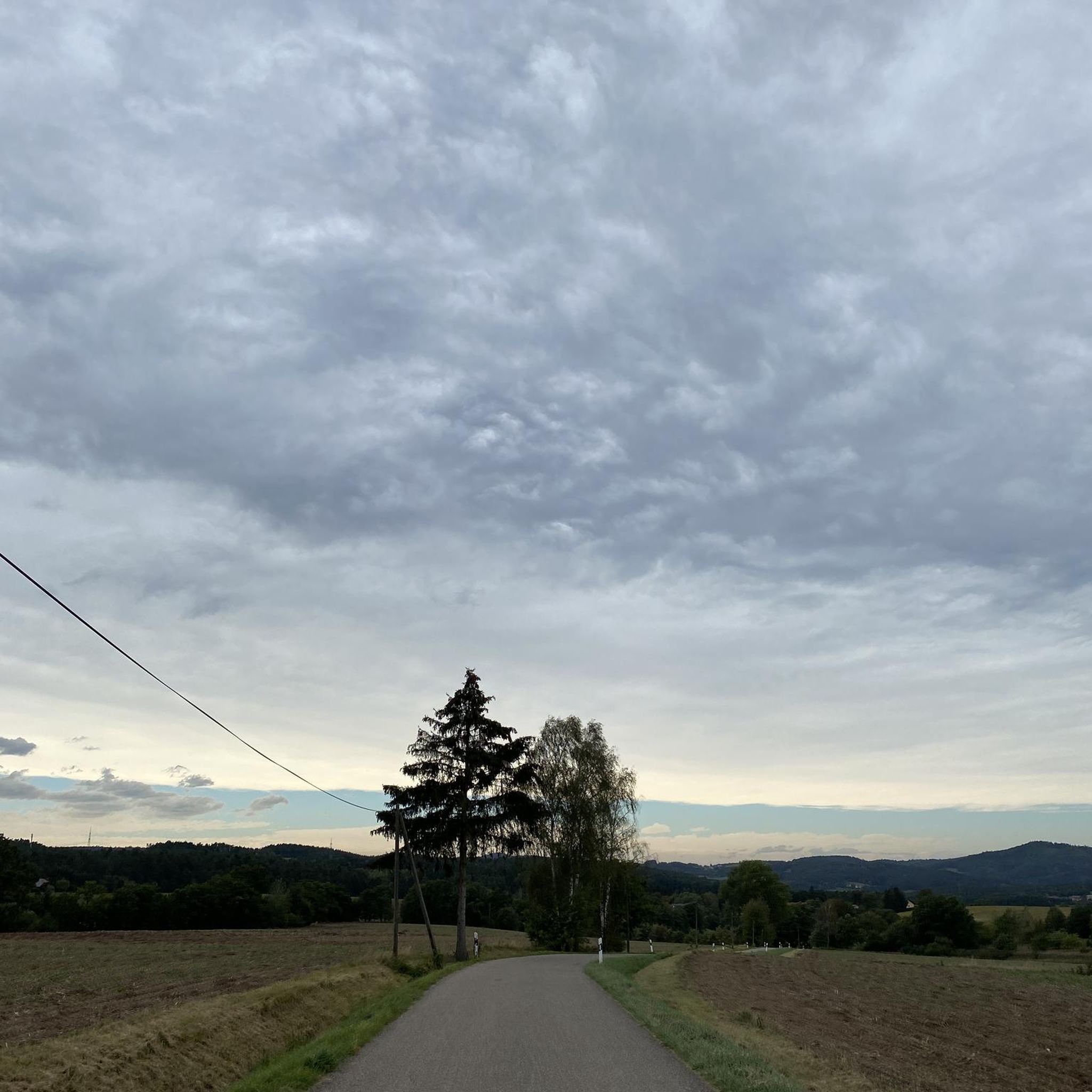
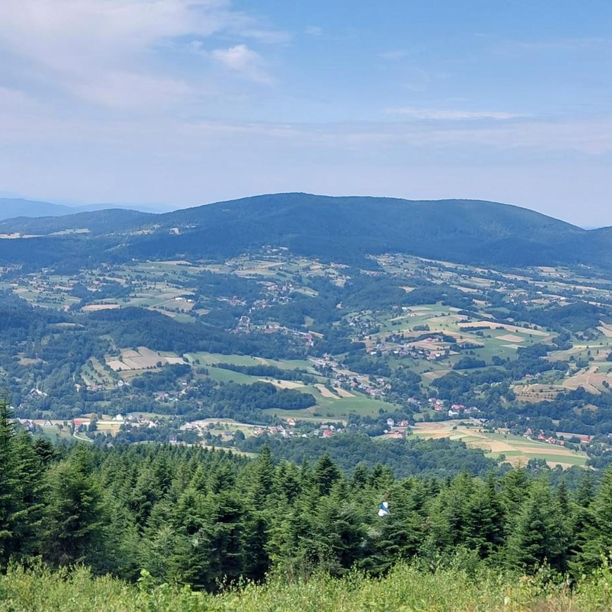

Tips from the Community


Trail to Mogielica
0
0

This pass is often the starting point for trips to Mogielnica south of here. At an altitude of 694m above sea level, there is a chapel, a stone obelisk from 1938 and a cross commemorating the battles of the Polish Legions. Great views of the Gorce, Babia Góra, Ćwilin and Śnieżnica.
1
0

Stumorgowa Polana is a picturesque clearing located in the Mogielica region, one of the best viewing spots in the Beskid Wyspowy. In good weather, you can admire the panorama of the Tatras, Gorce and nearby peaks. The clearing is located on popular hiking trails, so it is great for a break during a hike, especially since there are benches and a place to rest. In the winter season, cross-country skiing trails run through here, so the area is attractive all year round. It is worth taking a blanket or sleeping mat with you if you are planning a longer stop, because the views really encourage relaxation.
1
0
Hala pod Mogielicą is a large, scenic clearing located just below the peak of Mogielica, a great place to rest during a hike. There are views of the Tatras, Beskid Sądecki and Gorce, and in the summer you can see sheep grazing here and feel the atmosphere of traditional pasture. It is a popular place to take a break before approaching the peak, where it is worth taking something to eat and drink, because there is no infrastructure here. The paths are quite gentle, but in rainy weather they can be slippery, so good hiking shoes are useful.
1
0
Mogielnica is the highest peak of the Beskid Wyspowy, measuring 1171 m above sea level, located near the town of Słopnice. At the top there is a viewing tower, from which, in good weather, you can admire the panorama of the Tatras, Gorce and the entire area. The trails leading to Mogielnica are well marked, but the steep climbs can be demanding, so it is worth wearing solid trekking shoes. The most popular routes start from Słopnice, and there are rest areas along the route, ideal for a short stop. This is a great destination for people who like mountain running with the reward of beautiful views.
1
0

A viewpoint with a 3.5-meter cross erected in 2004 to commemorate Karol Wojtyła's mountain hikes. From this place there is a stunning view of the Tatras, which can be admired on a clear day.
1
0

A clearing with good visibility of the surrounding mountains.
1
0
Frequently Asked Questions
What kind of terrain can I expect on running trails in gmina Dobra?
Running trails in gmina Dobra are predominantly mountainous, characterized by distinct 'island' peaks with steep, forested slopes and flat summits, separated by deep valleys. This varied topography offers a range of challenges, from gentle ascents to more demanding mountain runs through dense forests and along scenic stream valleys.
Are there any easy or moderate jogging routes available in gmina Dobra for beginners?
While many routes in gmina Dobra are rated as difficult due to the mountainous terrain, there are a few moderate options. Komoot lists 2 moderate running routes out of 29 total. These might be more suitable for beginners or those looking for a less strenuous run, though they still involve some elevation changes typical of the Beskid Wyspowy mountains.
What are some notable natural features or landmarks I can see while jogging in gmina Dobra?
Gmina Dobra offers stunning natural beauty. You can encounter prominent peaks like Mogielica, Śnieżnica, and Ćwilin. Many routes pass through dense forests and along rivers such as the Łososina. For breathtaking views, consider routes that lead to the Observation Tower on Mogielica. Other unique spots include the Jaskinia Zbójnicka cave and the Łopieńskie Swamps on Łopień.
Are there any circular running routes in gmina Dobra?
Yes, gmina Dobra features several excellent circular running routes. For example, the Hala pod Mogielicą – Mogielnica loop from Limanowa County is a challenging 10.5 km path, and the Mogielnica – Hala pod Mogielicą loop from Dobra offers a similar experience over 11.9 km. Another option is the Ćwilin loop from gmina Dobra, which is a longer 20.7 km route.
What do other runners think about the trails in gmina Dobra?
The running routes in gmina Dobra are highly regarded by the komoot community, boasting an average rating of 5.0 stars from several reviews. Over 600 runners have explored the varied terrain, often praising the region's clean air, tranquil atmosphere, and the rewarding views from its 'island' peaks.
Can I find places to rest or get refreshments along the running routes?
Yes, some routes in gmina Dobra pass by mountain huts or shelters where you might find a place to rest or get refreshments. For instance, the Mogielnica – Polana Stumorgowa Shelter loop from Limanowa County leads directly to the Polana Stumorgowa Shelter. Other options in the region include the Kudłacze PTTK Mountain Hut and the Youth Retreat Center and Hostel on Śnieżnica.
What is the best time of year for jogging in gmina Dobra?
Gmina Dobra experiences a relatively mild climate with moderate winds, making it suitable for outdoor activities for much of the year. Spring and autumn offer pleasant temperatures and beautiful scenery with changing foliage. Summer provides shaded paths through dense forests, while winter can offer unique opportunities for snow running, though trails may be more challenging and require appropriate gear.
Are there any routes that offer panoramic views?
Absolutely. The mountainous landscape of gmina Dobra is perfect for panoramic views. Routes ascending peaks like Mogielica often lead to spectacular vistas. The Observation Tower on Mogielica is a prime spot for expansive views across the Beskid Wyspowy mountain range, making any route that includes it particularly rewarding.
How many running routes are available in gmina Dobra?
There are 29 running routes available in gmina Dobra on komoot. These routes cater to various fitness levels, though the majority are classified as difficult, reflecting the challenging and rewarding mountainous terrain of the Beskid Wyspowy region.
Are the running trails in gmina Dobra well-marked?
Yes, the region of gmina Dobra is known for its well-established network of trails, which are primarily designed for hiking and cycling but are easily adaptable for jogging. This suggests that the paths are generally well-marked, making navigation straightforward for runners exploring the area.
What makes gmina Dobra a unique place for running?
Gmina Dobra stands out for its unique 'island' peaks, which are isolated mountains with steep, forested slopes and flat summits, characteristic of the Beskid Wyspowy range. This, combined with extensive forests, clean air, and scenic stream valleys, creates a tranquil and invigorating environment for running, offering a refreshing escape from urban settings.
Can I find routes suitable for a longer, more challenging run?
Yes, gmina Dobra is ideal for longer, more challenging runs. Many of its routes are classified as difficult, featuring significant elevation gains. For instance, the Mogielnica – Polana Stumorgowa Shelter loop from Limanowa County is a substantial 32.1 km trail, often completed in over 4 hours, providing a demanding experience through dense forests and mountain terrain.
Most popular routes around gmina Dobra
Most popular attractions around gmina Dobra

Get inspired with the komoot mobile app


Explore more
Browse the best Running Trails & Routes in other regions.
