The best walks and hikes around gmina Laskowa
4.3
(78)
1,200
hikers
89
hikes
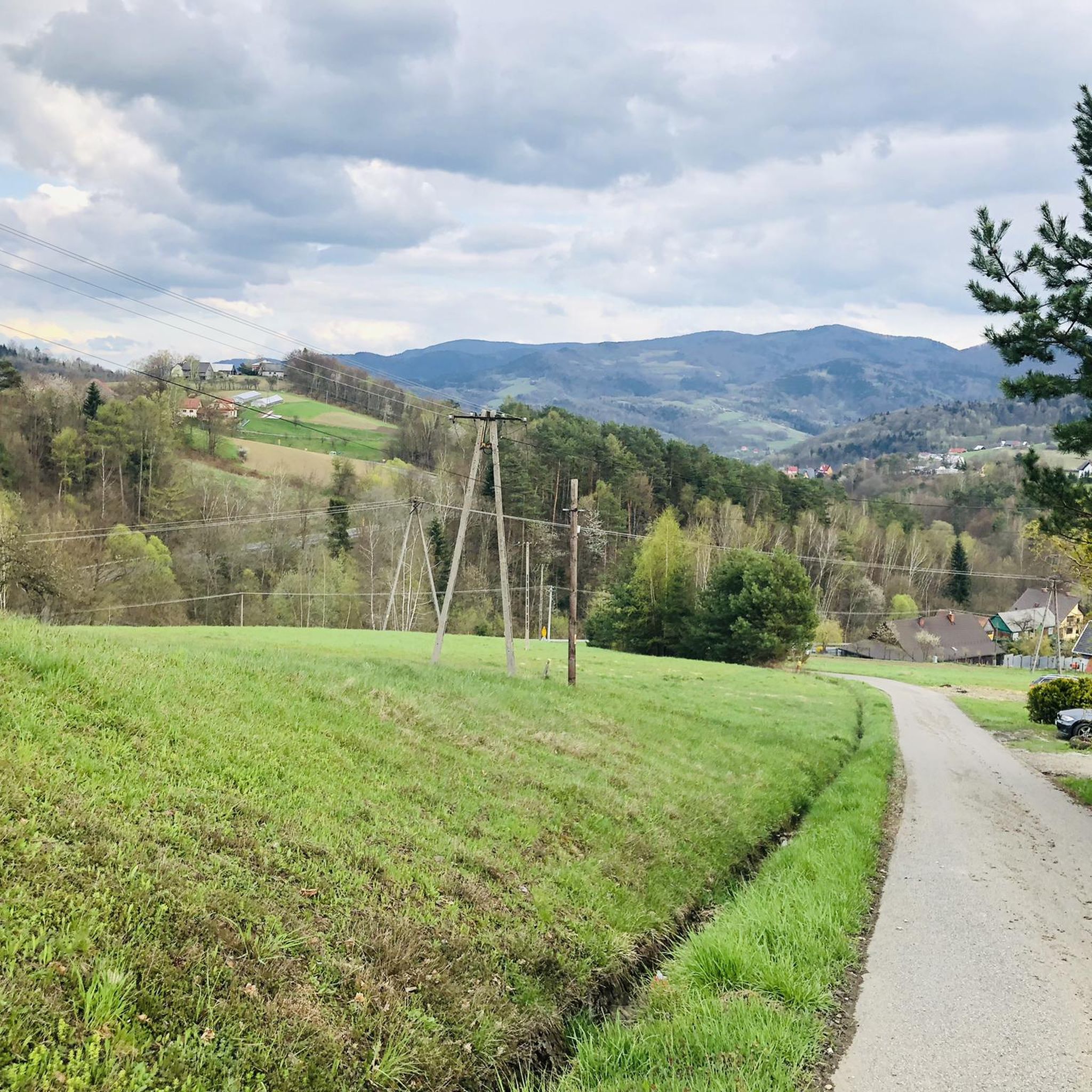
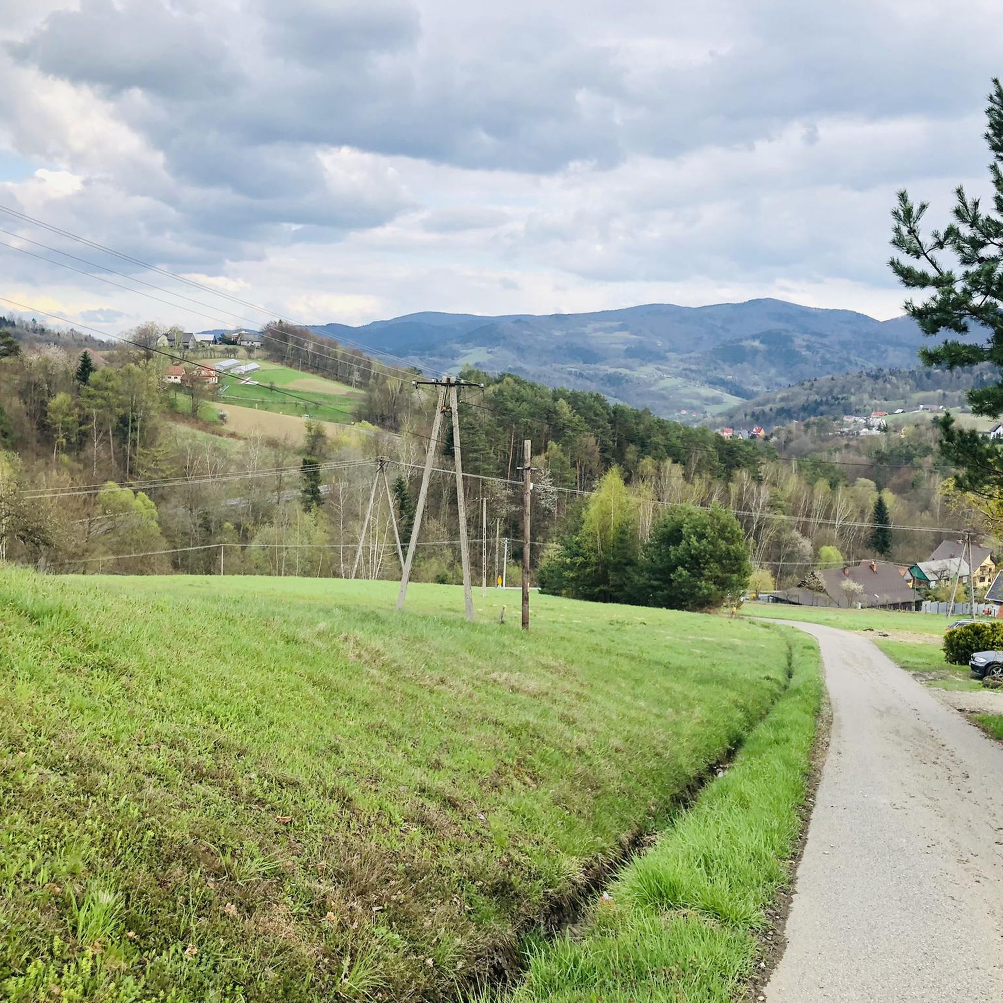
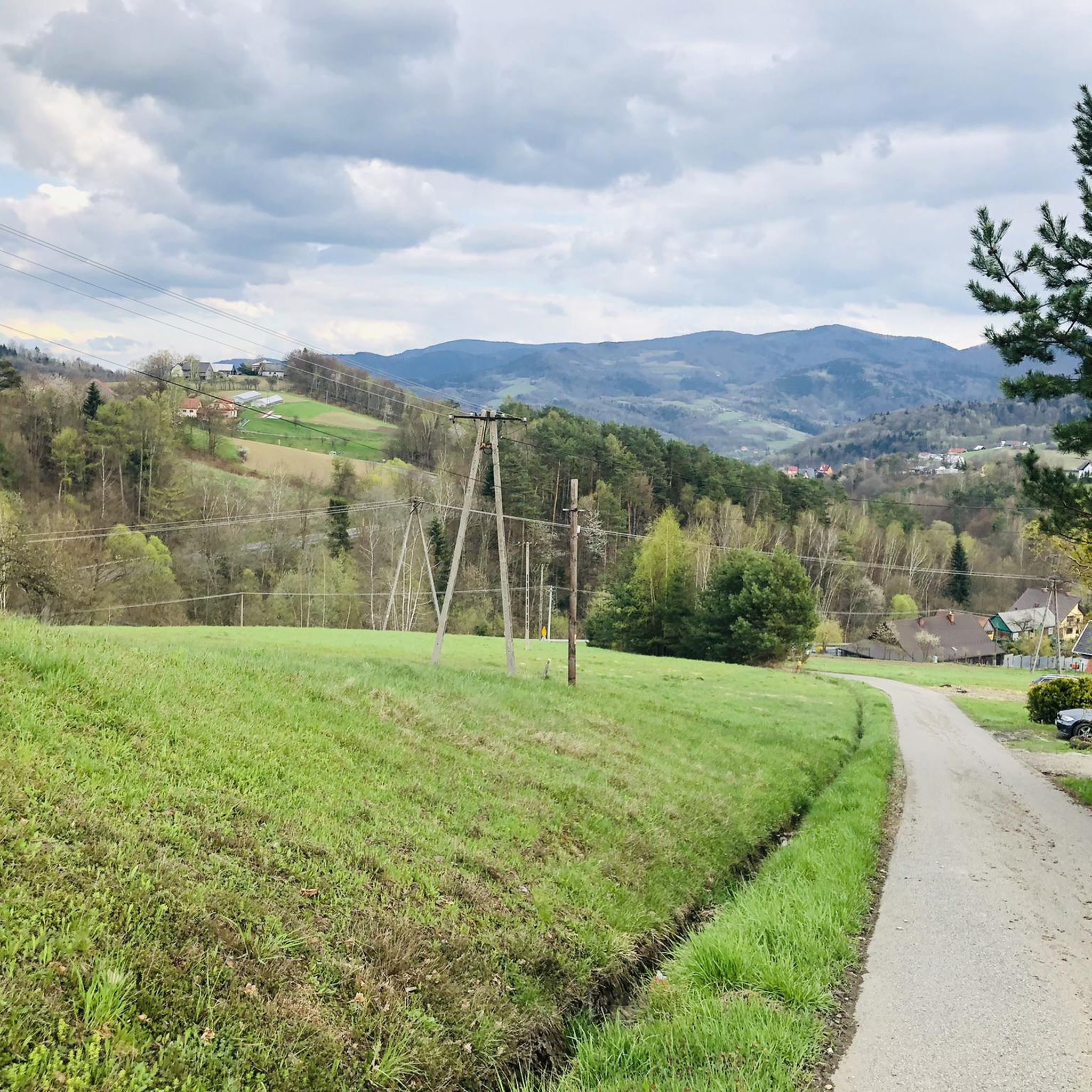
Hiking around gmina Laskowa offers diverse landscapes situated between the Beskids and Carpathian mountain ranges in southern Poland. The region features dense woodlands, tranquil valleys, and varied terrain from gentle inclines to steeper ascents. Winding rivers contribute to the natural beauty of many routes, providing a varied environment for outdoor activities.
Best hiking trails around gmina Laskowa
- The most popular hiking route is Kamionna 602 m – Kamionka Observation Tower loop from Kamionna, an easy 2.6 miles (4.1 km)…
Last updated: June 26, 2026
4.2
(5)
61
hikers
4.14km
01:21
180m
180m
Easy hike. Great for any fitness level. Easily-accessible paths. Suitable for all skill levels.
30
hikers
7.11km
02:12
260m
260m
Moderate hike. Good fitness required. Easily-accessible paths. Suitable for all skill levels.

Sign up for free
13
hikers
Hard hike. Very good fitness required. Easily-accessible paths. Suitable for all skill levels.
13
hikers
5.59km
01:43
190m
190m
Easy hike. Great for any fitness level. Easily-accessible paths. Suitable for all skill levels.
5.0
(1)
18
hikers
2.49km
00:54
150m
150m
Easy hike. Great for any fitness level. Easily-accessible paths. Suitable for all skill levels.
Get access to more routes and recommendations from other explorers.
Sign up for free
Already have an account?
Our route recommendations are based on thousands of hikes, rides, and runs completed by other people on komoot.
Start today with a free account
Your next adventure awaits.
Login or Signup
Tips from the Community

Delicious food and Czech beer, worth a visit when you are in the area
0
0

New roofing by the nature trail. Below is a parking lot. In the background I saw a lot of information boards. Unfortunately I didn't have time to look around the trail.
0
0
The roof is in poor condition and in a very overgrown place. I am only including it for illustration purposes, in case someone sees it on a map and tries to include it for a rest. Nature will soon completely absorb it.
0
0
Cemetery no. 359 from the period of WWI. Right next to it is a table with benches.
0
0
The peak lies on the blue Tarnów-Wielki Rogacz trail and on the GSBW. At the top there is a GSBW map and one bench, as can be seen in the photo. Unfortunately, there is no roof.
0
0
The bench is located on the Western Salash. You can see that people regularly light a fire there. The fire pit is huge.
0
0
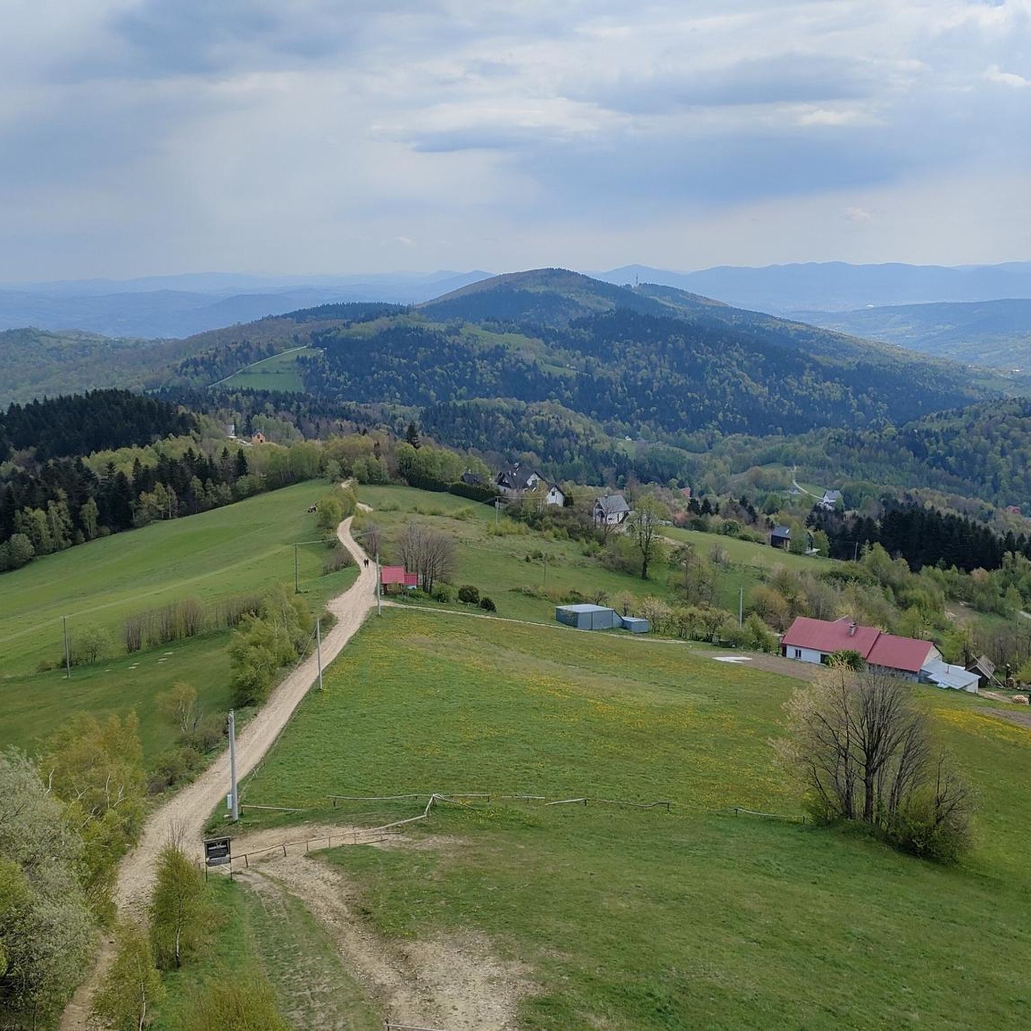
The structure is 20 m high. The view is amazing, but for the first time I was "afraid of heights". Very steep steps, almost like climbing a ladder. Under the tower, a shelter and a couple of tables. Even though the trail is demanding, I think it's worth it.
1
0
Frequently Asked Questions
How many hiking trails are available in gmina Laskowa?
Gmina Laskowa offers a wide selection of hiking routes, with over 80 trails documented on komoot. These routes cater to various skill levels, including 35 easy, 37 moderate, and 10 difficult options.
Are there any family-friendly hiking trails in gmina Laskowa?
Yes, gmina Laskowa has numerous family-friendly options. Many routes feature gentle inclines and tranquil valleys, suitable for all ages. An example of an easy route is the Kamionna 602 m – Kamionka Observation Tower loop from Kamionna, which is 2.6 miles (4.1 km) long and takes about 1 hour 21 minutes.
What kind of natural features can I expect to see while hiking in gmina Laskowa?
The region is characterized by its location between the Beskids and Carpathian mountain ranges, offering diverse landscapes. You'll find dense woodlands, winding rivers, and varied terrain from tranquil valleys to steeper ascents. The area is rich in flora and fauna, with enchanting areas like Białowieska Forest Park nearby.
Are there any observation towers or viewpoints along the trails?
Yes, gmina Laskowa is known for its scenic viewpoints. A prominent one is the Szpilówka Observation Tower, offering panoramic views over the Beskid Wyspowy, Beskid Sądecki, and Pogórze Różnowskie mountain ranges. On clear days, you might even see the distant High Tatras. Another popular spot is the Kamionka Observation Tower, accessible via routes like the Kamionna 602 m – Kamionka Observation Tower loop from Rozdziele.
What do other hikers enjoy most about the trails in gmina Laskowa?
The trails in gmina Laskowa are highly rated by the komoot community, with an average score of 4.3 stars from over 80 reviews. Hikers often praise the diverse terrain, the scenic views from observation towers, and the well-maintained paths through quiet woodlands.
Are there any historical landmarks or castles to explore near the hiking routes?
Absolutely. The region features historical sites like Tropsztyn Castle, a restored 13th-century castle that offers historical intrigue and views of the Dunajec reservoir when its keep is open. There's even a dedicated hiking trail that encircles the castle rock.
Are there challenging hiking routes for experienced trekkers?
Yes, for those seeking a more strenuous experience, gmina Laskowa offers 10 difficult routes. An example is the Sałasz (909 m a.s.l.) – Jaworz Viewing Tower loop from Cmentarz wojenny nr 358 – Laskowa, which covers 11.1 miles (17.8 km) and involves significant elevation gain.
Are dogs allowed on the hiking trails in gmina Laskowa?
Generally, dogs are welcome on many hiking trails in gmina Laskowa, allowing you to enjoy the natural beauty with your canine companion. However, it's always recommended to keep dogs on a leash and adhere to local regulations, especially in protected areas or near wildlife.
What is the best time of year to go hiking in gmina Laskowa?
The best time for hiking in gmina Laskowa is typically from spring through autumn. During these seasons, the weather is generally pleasant, and the landscapes are vibrant. Spring brings blooming flora, while autumn offers stunning fall foliage. Winter hiking is also possible, especially for those interested in snowshoeing or exploring nearby ski resorts like Kasinę Wielką.
Are there circular hiking routes available?
Yes, many of the trails in gmina Laskowa are designed as circular routes, allowing you to start and end at the same point without retracing your steps. Examples include the Water Fountain – Jaworz Viewing Tower loop from gmina Limanowa and the Kamionka Observation Tower – Kamionna 602 m loop from Kamionna.
Is there parking available at the trailheads?
While specific parking information varies by trailhead, many popular hiking areas and observation towers in gmina Laskowa and the surrounding region offer designated parking facilities for hikers. It's advisable to check local signage or trail descriptions for details on specific starting points.
Can I reach hiking trails using public transport?
Public transport options to reach trailheads in gmina Laskowa may be limited, as is common in more rural mountain regions. However, local bus services might connect some villages. For most flexibility, especially when accessing less central trails, personal transport is often recommended.
Most popular routes around gmina Laskowa
Most popular attractions around gmina Laskowa

Get inspired with the komoot mobile app


Explore more
Browse the best Hikes in other regions.
