The best walks and hikes around gmina Andrychów
4.7
(543)
8,847
hikers
79
hikes
Hiking around gmina Andrychów offers diverse landscapes within the Beskid Mały mountain range in southern Poland. The region features significant peaks like Potrójna, known for its panoramic views, and Łamana Skała, which includes notable rock outcrops. Many trails are situated within the Park Krajobrazowy Beskidu Małego, providing varied terrain for outdoor activities. The area also includes the scenic Międzybrodzkie Lake, formed by the historic Porąbka Dam.
Best hiking trails around gmina Andrychów
- The most popular hiking route is Potrójna –…
Last updated: August 20, 2026
4.9
(20)
497
hikers
12.3km
03:54
490m
490m
Moderate hike. Good fitness required. Easily-accessible paths. Suitable for all skill levels.
4.9
(21)
489
hikers
9.24km
02:49
320m
320m
Moderate hike. Good fitness required. Easily-accessible paths. Suitable for all skill levels.

Sign up for free
4.8
(24)
452
hikers
Moderate hike. Good fitness required. Easily-accessible paths. Suitable for all skill levels.
5.0
(4)
127
hikers
24.1km
07:40
950m
950m
Hard hike. Very good fitness required. Easily-accessible paths. Suitable for all skill levels.
4.8
(5)
106
hikers
22.4km
06:56
790m
790m
Hard hike. Very good fitness required. Easily-accessible paths. Suitable for all skill levels.
Get access to more routes and recommendations from other explorers.
Sign up for free
Already have an account?
Our route recommendations are based on thousands of hikes, rides, and runs completed by other people on komoot.
Start today with a free account
Your next adventure awaits.
Login or Signup


Tips from the Community

A reserve established in 1960 on the slopes of Broken Rock
1
0
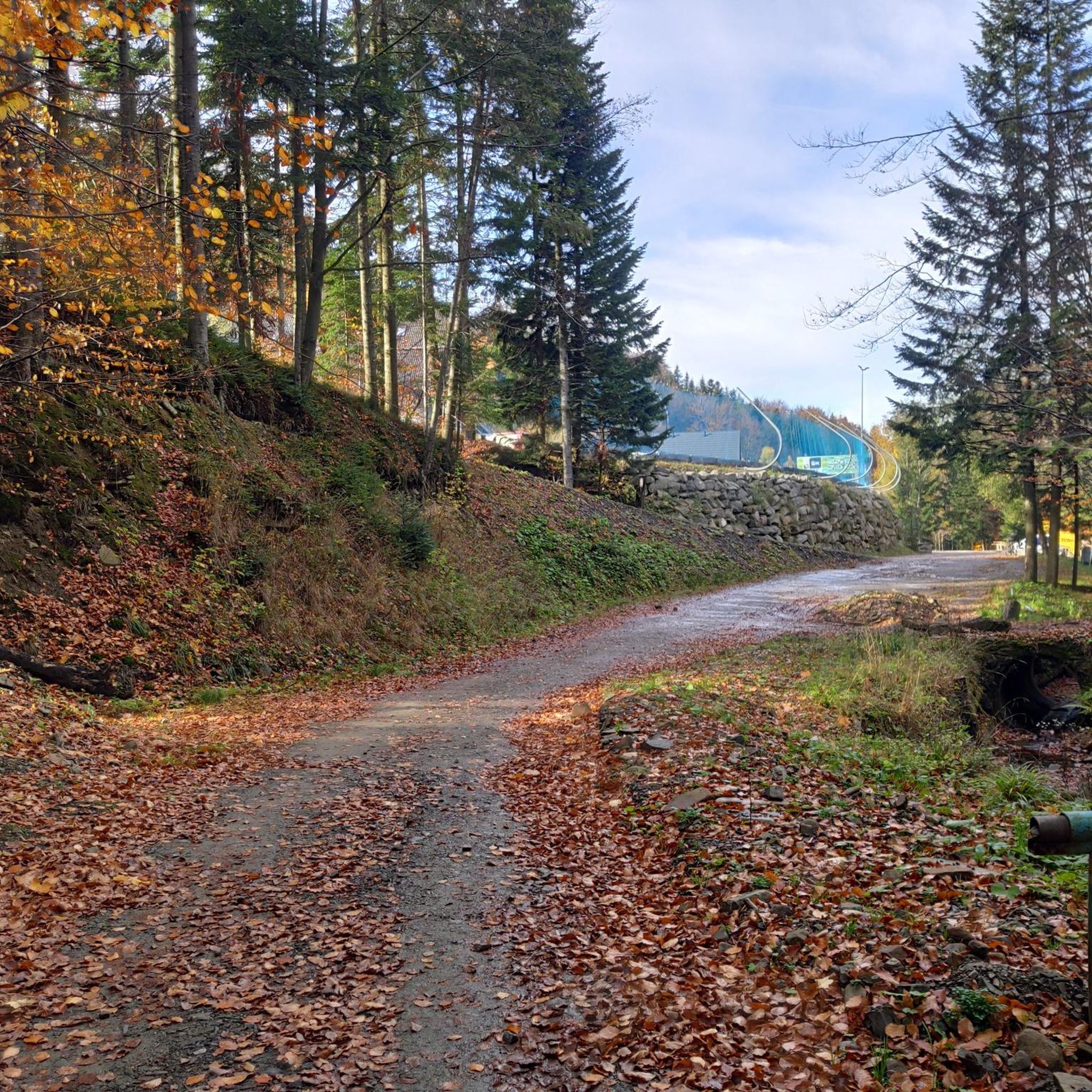
Large free parking lot from where you can start your trail
0
0

Łamana Skała, also known as Madohora, is the highest peak of the Zasolskie Mountains and the second (after Czupel 933 m above sea level) peak of the entire Beskid Mały. Despite its height, it is not a tourist destination due to the lack of viewing points. The name Łamana Skała, used already in the Middle Ages, fully reflects the character of the mountain. On the summit, covered with abundant trees, there are rock outcrops made of sandstone and conglomerates, reaching a height of several meters. You can often meet rock climbers here.
2
0
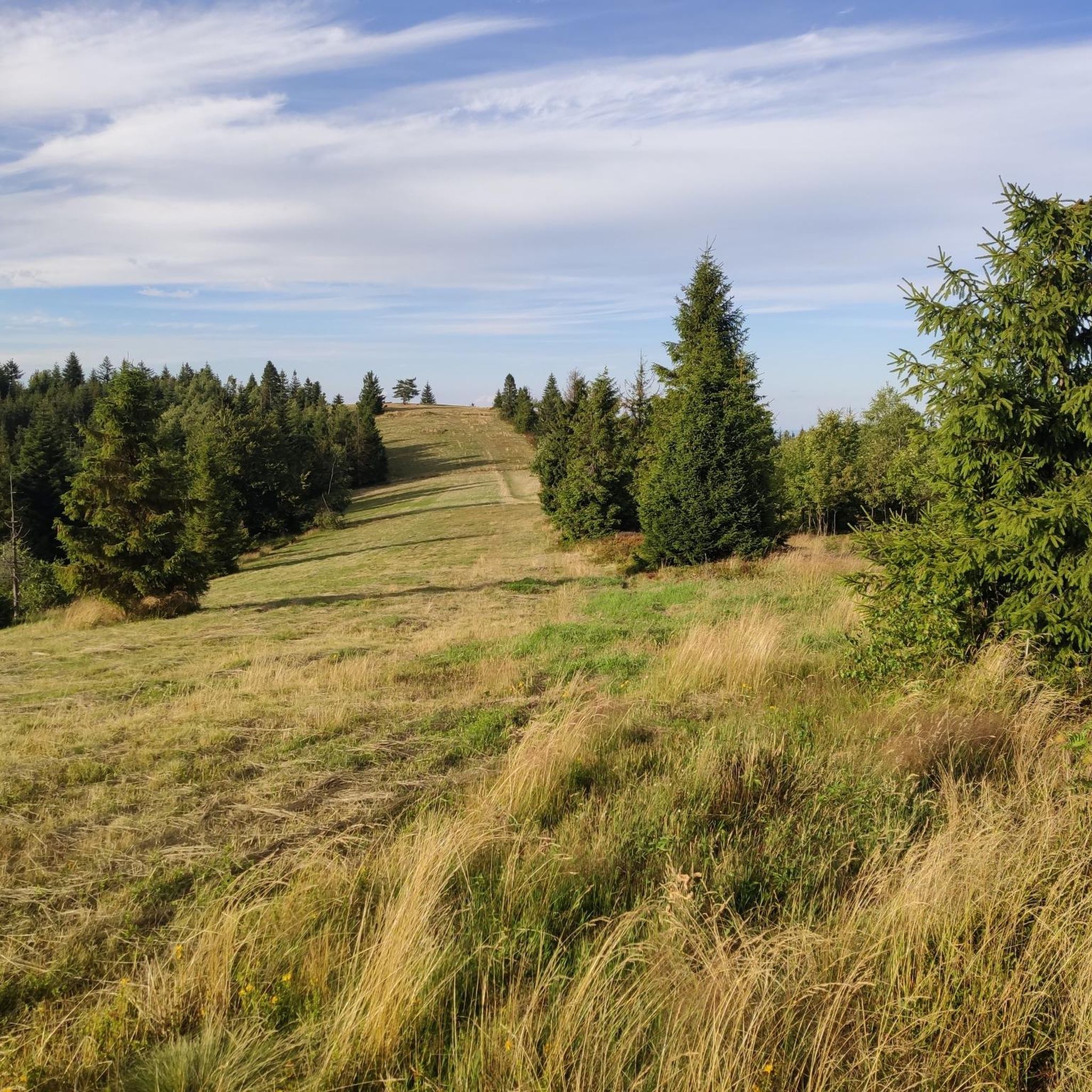
Two-peaked peak in the Beskid Andrychowski (eastern part of the Beskid Mały) Potrójna is an excellent viewpoint. Both of its peaks and the entire ridge are treeless. There are extensive pastoral pastures and meadows here, the views from which are among the most extensive in the entire Beskid Mały. The panorama includes: the Silesian Foothills, the Bliźniaków Range, the Rzycka Valley, the main ridge of the Beskid Mały, the Gorce Mountains, the Polica Range, Babia Góra, the Jałowieckie Range, Pilsko, the Żywiec Basin, the Lipowski Wierch and Romanka Group, the Wielka Racza Range and the Silesian Beskid from Glinny to Skrzyczne. On the lower peak there is a former shepherd's chapel with figures of the Virgin Mary, on the higher one there are two boards with described panoramas
1
0

A very nice, not demanding route on the Little Beskid Trail
0
0


Frequently Asked Questions
How many hiking trails are available in gmina Andrychów?
Gmina Andrychów offers a wide selection of hiking opportunities, with over 75 trails to explore. These routes cater to various skill levels, from easy walks to more challenging mountain excursions.
What kind of terrain can I expect on hikes in gmina Andrychów?
The region is primarily defined by the diverse landscapes of the Beskid Mały mountain range. You can expect varied terrain, including picturesque forest paths, open ridges offering expansive panoramic views, and even notable rock outcrops, particularly around areas like Łamana Skała. Many trails are situated within the Park Krajobrazowy Beskidu Małego.
Are there easy hiking trails suitable for beginners in gmina Andrychów?
Yes, gmina Andrychów has 17 easy hiking trails perfect for beginners or those looking for a relaxed walk. These routes typically have less elevation gain and shorter distances, making them accessible for a wide range of fitness levels.
Are there challenging hikes for experienced mountaineers in gmina Andrychów?
Absolutely. For experienced hikers seeking a challenge, there are 13 difficult routes available. These trails often involve significant elevation changes and longer distances, such as the Kocierska Pass – Potrójna loop from Madohora Nature Reserve, which covers over 24 km with substantial ascent.
What do other hikers say about the trails in gmina Andrychów?
The hiking trails in gmina Andrychów are highly regarded by the komoot community, boasting an average rating of 4.8 stars from over 220 reviews. Hikers often praise the stunning panoramic views from peaks like Potrójna and the well-maintained paths through varied natural landscapes.
Are there any circular hiking routes in gmina Andrychów?
Yes, many of the trails in gmina Andrychów are designed as circular routes, allowing you to start and finish at the same point. Examples include the popular Potrójna – Kocierska Pass loop from Little Beskids and the Zakocierska Pass – Madohora Nature Reserve loop from Park Krajobrazowy Beskidu Małego.
What scenic viewpoints can I find along the trails?
Gmina Andrychów is renowned for its panoramic views. Notable viewpoints include Potrójna, which offers extensive vistas across the Silesian Foothills and other mountain ranges. Another popular spot is Góra Żar (765 m), providing numerous views of the surrounding mountains and lowlands.
Are there any notable natural features or landmarks to see?
Beyond the mountain peaks, you can explore the rock outcrops of sandstone and conglomerates near Łamana Skała. The historic Porąbka Dam, which created Międzybrodzkie Lake, is also a significant landmark offering scenic views. Additionally, you might encounter the Quarry in Kozy, an interesting geological site.
Is there accommodation or places to rest on the trails?
Yes, a key convenience for hikers is the PTTK Leskowiec Mountain Shelter, situated at 890 meters. It provides accommodation, food, and is known for its beautiful mountain panoramas from its proximity to Leskowiec and Gronie Jana Pawła II.
Are the hiking trails in gmina Andrychów dog-friendly?
While specific regulations can vary, many trails in the Beskid Mały region are generally dog-friendly, especially if your dog is well-behaved and kept on a leash. It's always recommended to check local signage or park rules, particularly within the Park Krajobrazowy Beskidu Małego, to ensure compliance.
Are there family-friendly hiking options in gmina Andrychów?
Yes, gmina Andrychów offers several family-friendly hiking options. The easier trails are suitable for families with children, providing enjoyable walks through nature without excessive difficulty. The varied landscapes ensure there's something to keep everyone engaged.
What is the best time of year for hiking in gmina Andrychów?
The best time for hiking in gmina Andrychów is typically from late spring through early autumn (May to October), when the weather is mild and trails are clear. Summer offers lush greenery and longer daylight hours, while autumn brings vibrant foliage. Winter hiking is possible for experienced individuals, but requires appropriate gear and awareness of snow and ice conditions.
Are there options for public transport to reach hiking trailheads?
Public transport options to reach trailheads in gmina Andrychów can be limited, especially for more remote starting points. It's advisable to research local bus schedules or consider driving to access specific trailheads. Some popular areas might have better connections, but planning ahead is recommended.
Most popular routes around gmina Andrychów
Most popular attractions around gmina Andrychów

Get inspired with the komoot mobile app


Explore more
Browse the best Hikes in other regions.
