The best walks and hikes around Gerhardsbrunn
4.5
(5244)
19,477
hikers
905
hikes
Hiking around Gerhardsbrunn offers diverse routes through the Palatinate region, characterized by dense woodlands, stream valleys, and varied terrain. The area features a network of trails that explore natural landmarks and historical points of interest. Hikers can expect a mix of forest paths and open sections, providing a range of experiences within the local landscape.
Best hiking trails around Gerhardsbrunn
- The most popular hiking route is Elend Cave – Elendsklamm loop from Martinshöhe, a 7.4 miles (11.8 km) trail…
Last updated: July 5, 2026
4.8
(23)
70
hikers
7.51km
02:06
150m
150m
Moderate hike. Good fitness required. Easily-accessible paths. Suitable for all skill levels.
5.0
(4)
55
hikers
11.1km
02:59
140m
140m
Moderate hike. Good fitness required. Easily-accessible paths. Suitable for all skill levels.

Sign up for free
4.4
(5)
31
hikers
Moderate hike. Good fitness required. Easily-accessible paths. Suitable for all skill levels.
5.0
(5)
19
hikers
6.07km
01:42
130m
130m
Easy hike. Great for any fitness level. Easily-accessible paths. Suitable for all skill levels.
4.8
(4)
16
hikers
6.44km
01:48
130m
130m
Easy hike. Great for any fitness level. Easily-accessible paths. Suitable for all skill levels.
Get access to more routes and recommendations from other explorers.
Sign up for free
Already have an account?
Our route recommendations are based on thousands of hikes, rides, and runs completed by other people on komoot.
Start today with a free account
Your next adventure awaits.
Login or Signup
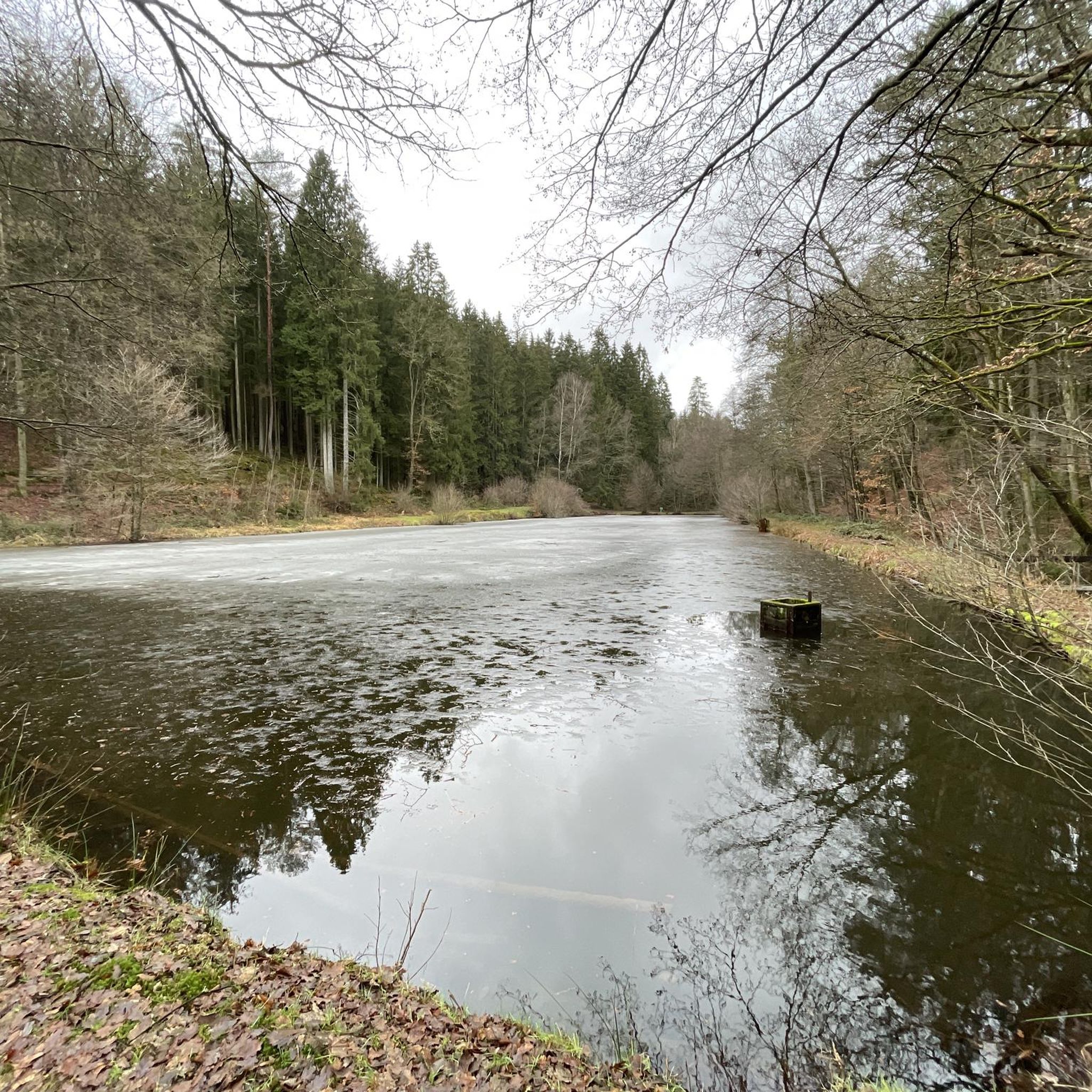
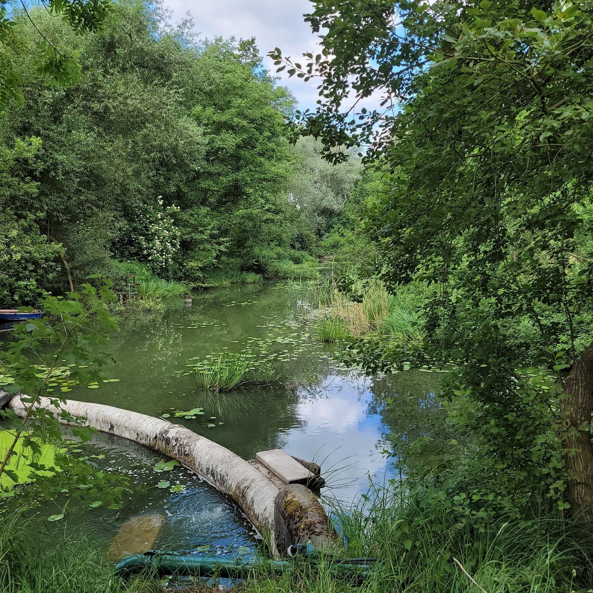
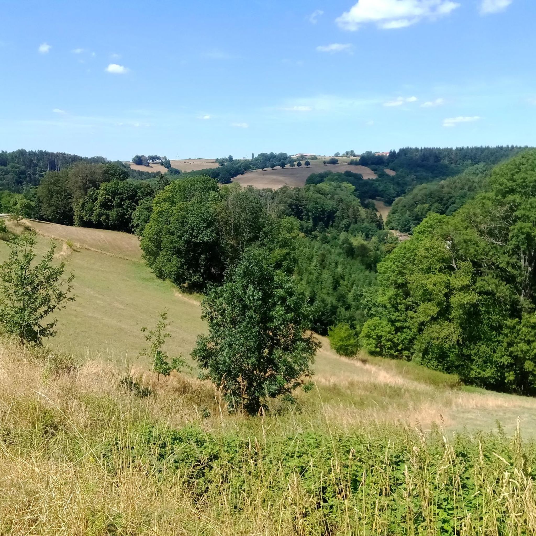
Tips from the Community

"At the "Dreimärker" boundary stone, the boundaries of Hauptsuhl, Bruchmühlbach, and Langwieden meet." Source (quoted verbatim): Information board on site There are benches and a wellness lounger here, as well as a (to me) enigmatic monument (?) with the inscription "Ernst Gute."
1
0
This fountain was built in 1981 by Peter Roman Heid and features, among other things, a beautifully designed sandstone boulder with a hunter motif. The fountain's name comes from St. Hubertus, the patron saint of hunters. Source: www.naturfreunde-lambrecht.de/aktionen/heimatkunde/
1
0

A good place to stop is the bench. Here you can still see the remains of an old quarry. There's also an information board about it.
2
0

Hello, the story of the origin of the word Rautendelein that is described on the plaque is absolute nonsense. My father, who was born in 1897 (he was already 61 when I was born), saw Gerhard Hauptmann's play as a young man. We come from Martinshöhe and he often went for walks in the Elendsklamm. The play impressed him so much that he carved the name Rautendelein into this boulder. And it didn't come about the way it looks now the first time, but rather he deepened the engraving every time he passed by. And that is the true story of Rautendelein in the Elendsklamm.
3
0

Nice hut for a rest.
1
0
Pleasant surface for running.
0
0

Right next to the beautiful fountain there is a rest area to linger and there is also a playground for children on the other side of the path.
0
0

A real attraction. Take a flashlight with you😀
2
0
Frequently Asked Questions
How many hiking trails are available around Gerhardsbrunn?
There are over 900 hiking routes around Gerhardsbrunn, offering a wide variety of experiences. This includes more than 500 easy trails, 360 moderate routes, and a selection of more challenging options.
Are there easy hiking trails suitable for beginners in Gerhardsbrunn?
Yes, Gerhardsbrunn offers numerous easy trails perfect for beginners. For example, the Elendsklamm – Elendsklamm loop from Martinshöhe is a 3.8-mile (6.1 km) route that takes about 2 hours to complete, providing an accessible introduction to the area's natural beauty.
What is the typical length and duration of hikes around Gerhardsbrunn?
Hikes around Gerhardsbrunn vary significantly in length and duration. You can find shorter walks, like the 4-mile (6.4 km) St. Martinus Parish Church – Rautendelein Rock loop from Martinshöhe which takes about 2 hours. Longer, moderate trails can extend up to 7.4 miles (11.8 km), such as the Elend Cave – Elendsklamm loop from Martinshöhe, typically requiring around 3.5 hours.
Are there family-friendly hiking options in Gerhardsbrunn?
Many of the easy and moderate trails in Gerhardsbrunn are suitable for families. The region's varied terrain with woodlands and stream valleys provides engaging environments for children. Look for routes with lower elevation gains and shorter distances for a comfortable family outing.
Can I bring my dog on the hiking trails in Gerhardsbrunn?
Yes, most hiking trails in the Gerhardsbrunn area are dog-friendly. The dense woodlands and natural paths offer a great environment for walks with your canine companion. Always ensure your dog is on a leash where required and respect local wildlife.
Are there circular walks available in Gerhardsbrunn?
Yes, many of the routes around Gerhardsbrunn are designed as circular walks, allowing you to start and end at the same point. Examples include the Karl Eckhardt Memorial – Hubertus Spring loop from Langwieden, which is a 6.9-mile (11.1 km) loop through forest trails.
What kind of terrain can I expect on hikes around Gerhardsbrunn?
The terrain around Gerhardsbrunn is characterized by dense woodlands, stream valleys, and varied forest paths. You'll encounter a mix of well-maintained trails, natural earth paths, and some sections with moderate ascents and descents, typical of the Palatinate region.
What can I see along the hiking trails around Gerhardsbrunn?
Hiking trails around Gerhardsbrunn often lead past interesting natural and historical landmarks. You might encounter natural features like the Elendsklamm gorge or historical sites such as the Orangerie Ruins at Karlsberg. The region also features the scenic Ohmbach Lake nearby.
Is parking available at the trailheads in Gerhardsbrunn?
Parking is generally available in or near the villages that serve as starting points for many trails around Gerhardsbrunn, such as Martinshöhe or Langwieden. Specific parking information can often be found on individual route descriptions.
What do other hikers enjoy most about hiking in Gerhardsbrunn?
The hiking routes in Gerhardsbrunn are highly rated by the komoot community, with an average score of 4.5 stars from over 4,900 reviews. Hikers often praise the quiet woodlands, the diverse scenery of stream valleys, and the well-maintained paths that offer a range of experiences for different ability levels.
Are there any challenging hikes for experienced hikers in Gerhardsbrunn?
While Gerhardsbrunn is known for its accessible trails, there are also 19 more difficult routes for experienced hikers seeking a greater challenge. These trails typically feature longer distances and more significant elevation changes, providing a more strenuous workout.
What is the best time of year to go hiking in Gerhardsbrunn?
The best time to hike in Gerhardsbrunn is typically from spring through autumn (April to October), when the weather is mild and the natural scenery is at its most vibrant. Spring brings blooming wildflowers, while autumn offers beautiful fall foliage. Winter hiking is also possible, though some paths may be muddy or icy.
Most popular attractions around Gerhardsbrunn

Get inspired with the komoot mobile app


Explore more
Browse the best Hikes in other regions.
