The best walks and hikes around gmina Sobienie-Jeziory
4.7
(56)
735
hikers
79
hikes
Hiking around gmina Sobienie-Jeziory offers a network of trails primarily characterized by flat terrain and wetland ecosystems. The region features low elevation changes, making it accessible for various activity levels. Many routes traverse areas with boardwalks, providing passage through bog landscapes and natural environments.
Best hiking trails around gmina Sobienie-Jeziory
- The most popular hiking route is 13 Muddy Feet Trail, a 3.6 miles (5.8 km) trail that takes 1 hour 28 minutes to complete. This route offers a gentle…
Last updated: July 7, 2026
5.0
(2)
46
hikers
5.83km
01:28
10m
10m
Explore the easy 3.6-mile Loop Podbiel - Bagno Całowanie hike through Mazowiecki Park Krajobrazowy's unique peat bog on boardwalks.
5.0
(1)
62
hikers
3.35km
00:51
10m
10m
Easy hike. Great for any fitness level. Easily-accessible paths. Suitable for all skill levels.

Sign up for free
29
hikers
3.83km
00:58
10m
10m
Easy hike. Great for any fitness level. Easily-accessible paths. Suitable for all skill levels.
5.0
(1)
33
hikers
3.72km
00:56
0m
0m
Easy hike. Great for any fitness level. Easily-accessible paths. Suitable for all skill levels.
4.0
(1)
14
hikers
4.56km
01:10
10m
10m
Easy hike. Great for any fitness level. Easily-accessible paths. Suitable for all skill levels.
Get access to more routes and recommendations from other explorers.
Sign up for free
Already have an account?
Our route recommendations are based on thousands of hikes, rides, and runs completed by other people on komoot.
Start today with a free account
Your next adventure awaits.
Login or Signup
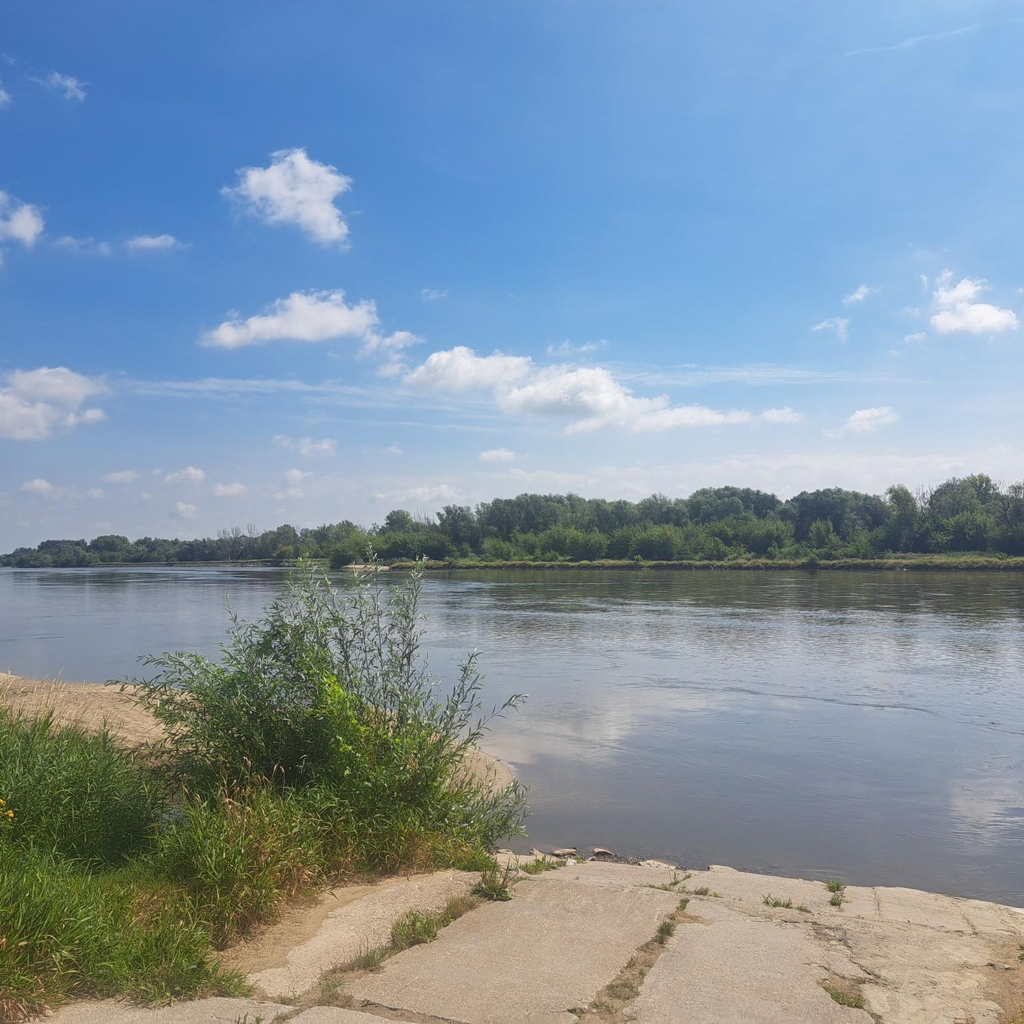
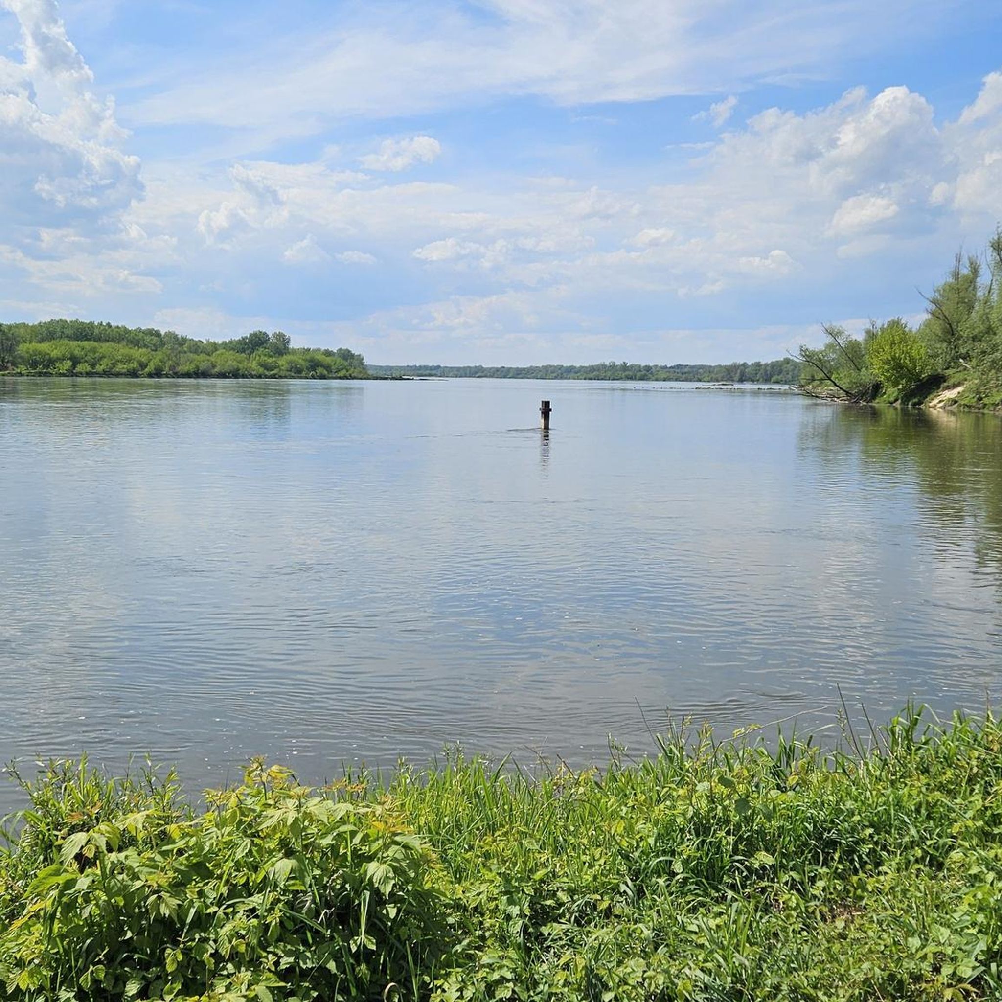
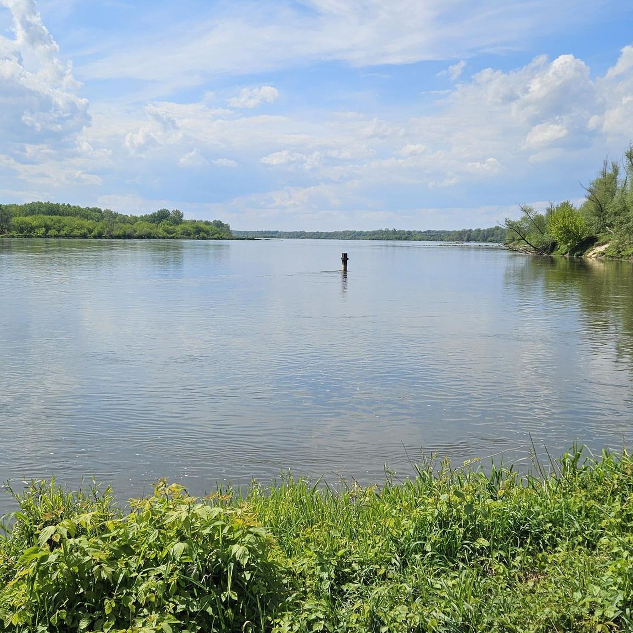
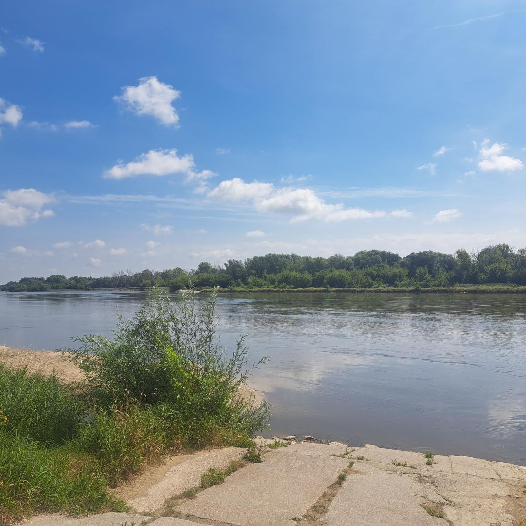

Tips from the Community

Bagno Całowanie – one of the largest lowland peatland complexes in Mazovia, covering an area of 1200 ha, located within the Mazowiecki Landscape Park, southeast of Warsaw, in the Vistula River valley. The peatland area extends for 15 km, reaching a width of approx. 3 km
1
0
Bagno Całowanie – one of the largest lowland peatland complexes in Mazovia, with an area of 1200 ha, located within the Mazovian Landscape Park, southeast of Warsaw, in the Vistula River valley. The peatland area extends for 15 km, reaching a width of approx. 3 km
1
0
Bagno Całowanie – one of the largest low peatland complexes in Mazovia with an area of 1200 ha, located within the Mazowiecki Landscape Park, southeast of Warsaw, in the Vistula valley. The peatland area extends for 15 km, reaching a width of approx. 3 km.
1
0
Start of wooden footbridges at Bagno Całowanie
1
0
Viewing tower in the Bagno Całowanie reserve
1
0

Great place, I highly recommend it
1
0
great place, highly recommend
1
0
Frequently Asked Questions
How many hiking trails are available in gmina Sobienie-Jeziory?
There are over 50 hiking routes recorded in gmina Sobienie-Jeziory on komoot. The region is particularly known for its flat terrain and wetland ecosystems, making many of these trails accessible for various activity levels.
Are there many easy hiking trails in gmina Sobienie-Jeziory?
Yes, gmina Sobienie-Jeziory is ideal for easy hikes. Out of the 54 routes available, 29 are classified as easy, featuring low elevation changes and generally flat paths, often traversing bog landscapes with boardwalks.
What is the typical length of hiking trails in gmina Sobienie-Jeziory?
Most hiking trails in gmina Sobienie-Jeziory are relatively short, ranging from 2.3 miles (3.7 km) to about 3.8 miles (6.2 km). For example, the Bagno Całowanie Boardwalk – Całowanie Bog loop from Całowanie is 2.3 miles, while the 13 Muddy Feet Trail is 3.6 miles.
Are there family-friendly hiking options in gmina Sobienie-Jeziory?
Absolutely. The flat terrain and presence of boardwalks through wetland areas make many routes very suitable for families. Trails like the Całowanie Bog loop from Podbiel offer a relaxed outing through natural environments that can be enjoyed by all ages.
Are dogs allowed on the hiking trails in gmina Sobienie-Jeziory?
While specific regulations can vary, generally, dogs are welcome on trails in natural areas like gmina Sobienie-Jeziory, especially if kept on a leash. It's always a good idea to check for local signage or specific park rules, particularly in nature reserves, to ensure a pleasant experience for everyone.
What kind of natural attractions can I see along the hiking trails?
The region is rich in natural beauty, particularly its wetland and bog landscapes. You can explore areas like Torfy Lake, the Bagno Całowanie Boardwalk Entrance, and the Bagno Bocianowskie Nature Reserve. These areas offer unique ecosystems and opportunities for wildlife observation.
Are there any historical landmarks or points of interest near the hiking routes?
Yes, beyond the natural landscapes, you can find historical sites nearby. The Castle of the Masovian Dukes in Czersk is a notable landmark, offering a glimpse into the region's past. There's also the Dąbrowiecka Góra Fortified Skansen for those interested in historical fortifications.
What do other hikers enjoy most about hiking in gmina Sobienie-Jeziory?
The area is highly rated by the komoot community, with an average score of 4.9 stars from over 30 reviews. Reviewers often praise the quiet, natural environments, the accessibility of the flat trails, and the unique experience of walking on boardwalks through the bog landscapes.
Are there any circular hiking routes in gmina Sobienie-Jeziory?
Yes, many of the trails in gmina Sobienie-Jeziory are designed as loops, offering convenient circular routes. Examples include the Całowanie Bog loop from Podbiel and the Bagno Całowanie Boardwalk – Całowanie Bog loop from Całowanie, which allow you to start and end at the same point.
Is public transport available to reach the trailheads?
Public transport options to specific trailheads in gmina Sobienie-Jeziory may be limited. It is advisable to check local bus schedules or consider driving, as many routes are more easily accessed by car. Some routes, like the Góra Café – Adam and Eve Square loop from Góra Kalwaria, might be more accessible from nearby towns.
What is the best time of year to hike in gmina Sobienie-Jeziory?
The best time to hike in gmina Sobienie-Jeziory is typically during spring, summer, and early autumn. These seasons offer pleasant weather for exploring the wetland areas and enjoying the natural scenery. Spring brings blooming flora, while autumn showcases beautiful fall colors. Winter hiking is possible but may require appropriate gear for colder, potentially snowy or icy conditions.
Most popular routes around gmina Sobienie-Jeziory
Most popular attractions around gmina Sobienie-Jeziory

Get inspired with the komoot mobile app


Explore more
Browse the best Hikes in other regions.
