The 17 Most Amazing Peaks around Mühlacker
Best mountain peaks around Mühlacker are found within a hilly landscape situated along the Enz river, at an elevation of approximately 240 meters above sea level. This region, part of the Kraichgau-Stromberg area and bordering the Black Forest, features numerous elevated areas and scenic routes. While not traditional mountain peaks, these locations offer elevated perspectives and opportunities for outdoor activities. The area provides diverse terrain suitable for hiking and exploring its natural beauty.
Best mountain peaks around Mühlacker
- The most…
Last updated: October 11, 2026
View from Derdinger Horn
Highlight • Viewpoint
Showing Translation
Tip by

Baiselsberg – Highest Point in Stromberg
Highlight • Summit
Translated by Google •
Tip by

Sign up now to discover places like this
Get recommendations on the best single tracks, peaks, & plenty of other exciting outdoor places.
Celtic grave Hochdorf
Highlight • Historical Site
Translated by Google •
Tip by

Teufelsklinge singletrack
Highlight (Segment) • Trail
Translated by Google •
Tip by

Wart Tower, Pforzheim
Highlight • Monument
Translated by Google •
Tip by

Sign up for free to discover even more peaks around Mühlacker.
Already have an account?
Start today with a free account
Your next adventure awaits.
Popular around Mühlacker
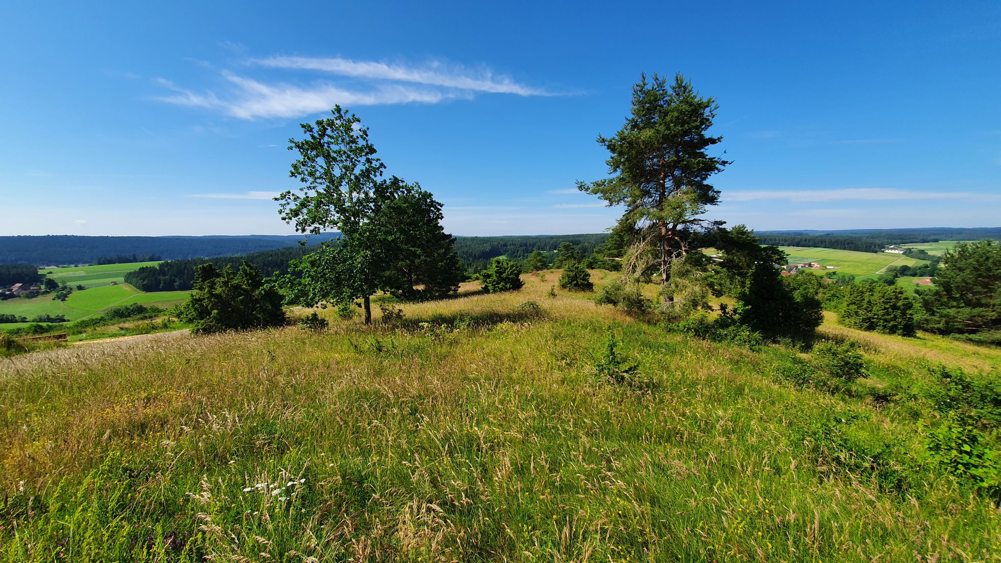
Germany's Gäurandweg – A ramble through the countryside
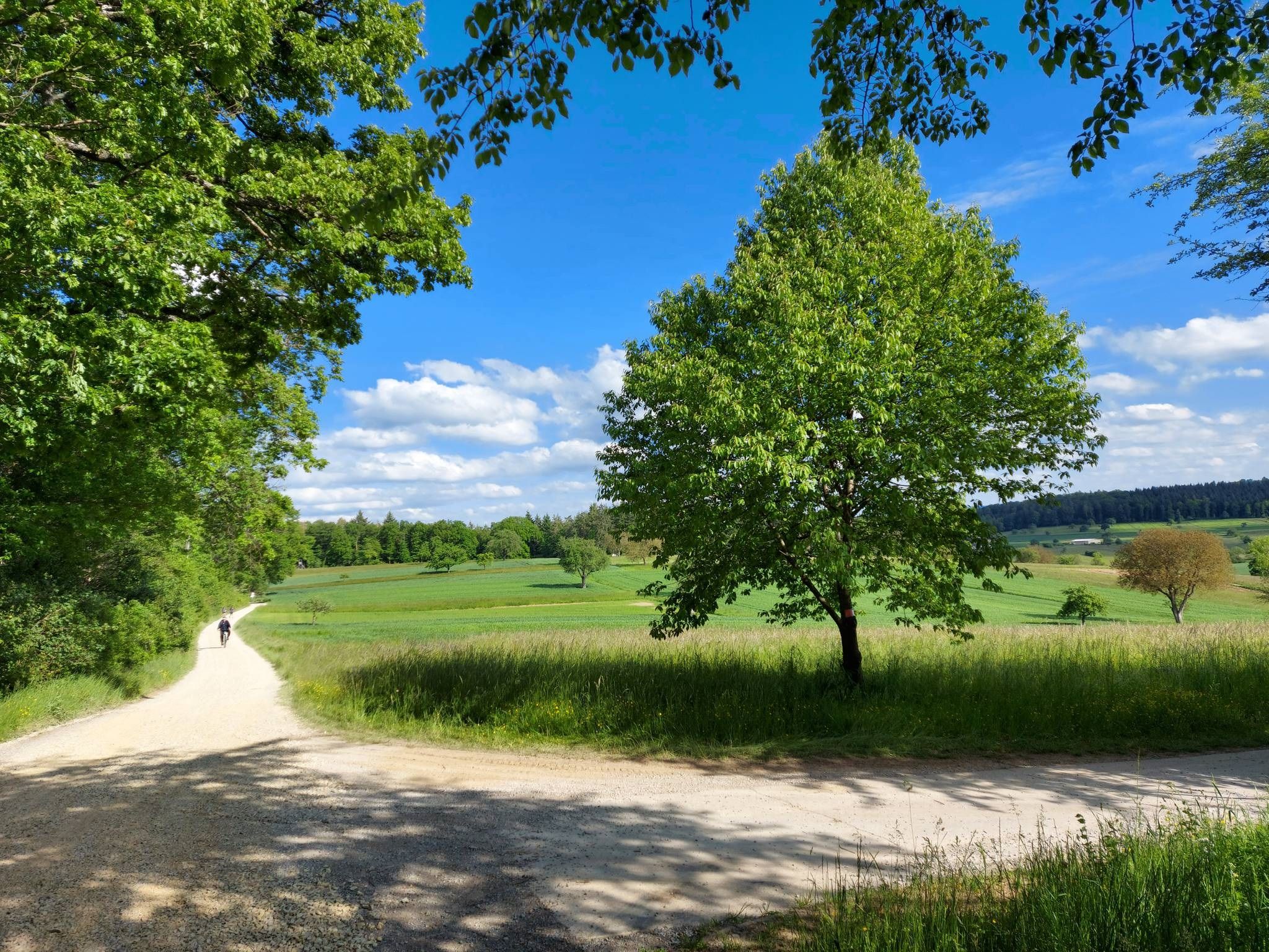
Schwarzwald Nordrandweg – Between forest and meadow
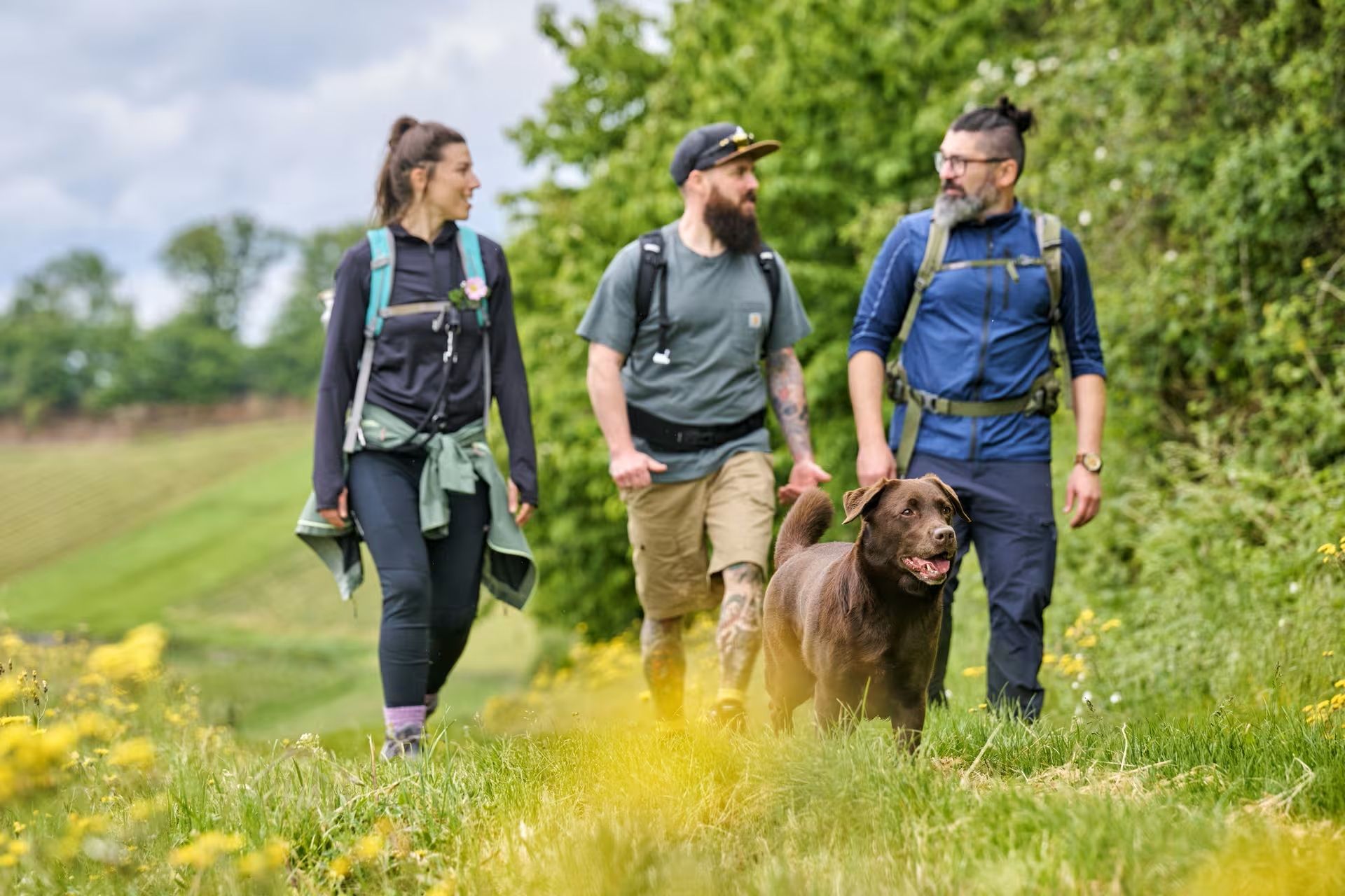
The Land of 1,000 Hills by bus and train – car-free hiking adventures
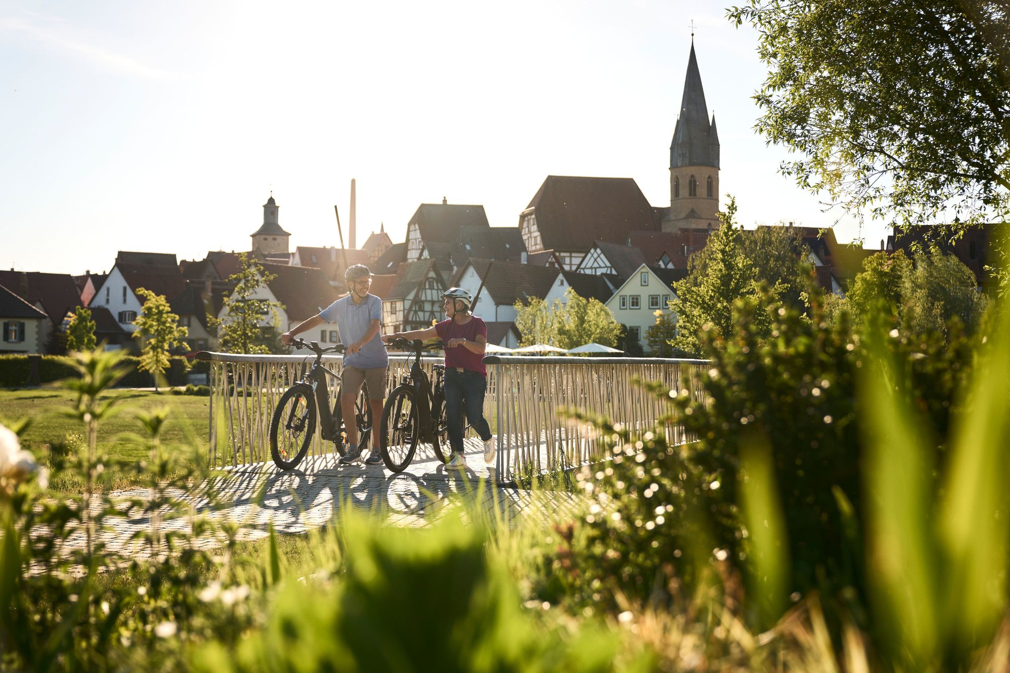
Half-timbered houses and superb cycling tours – the best of the South

Oases of calm – hill sofas in the land of 1,000 hills
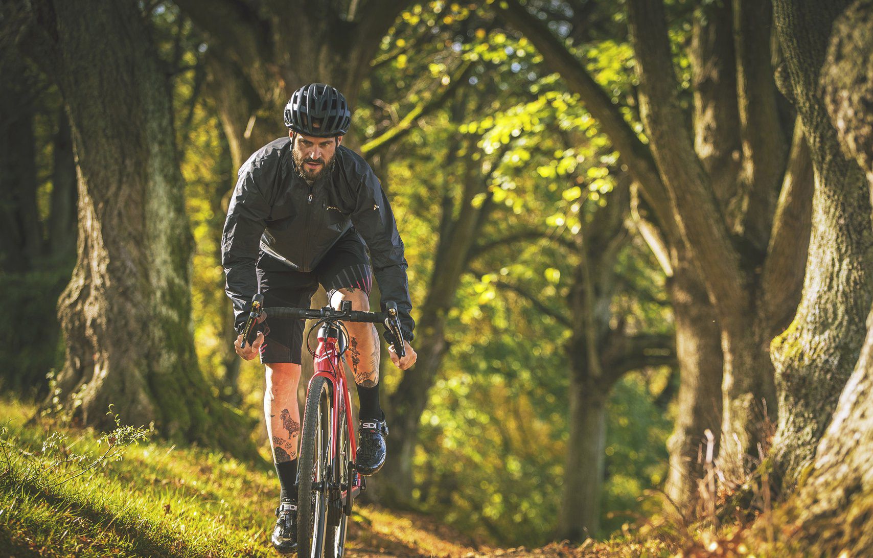
Nature Park Gravel Crossing from North to South – Baden-Württemberg
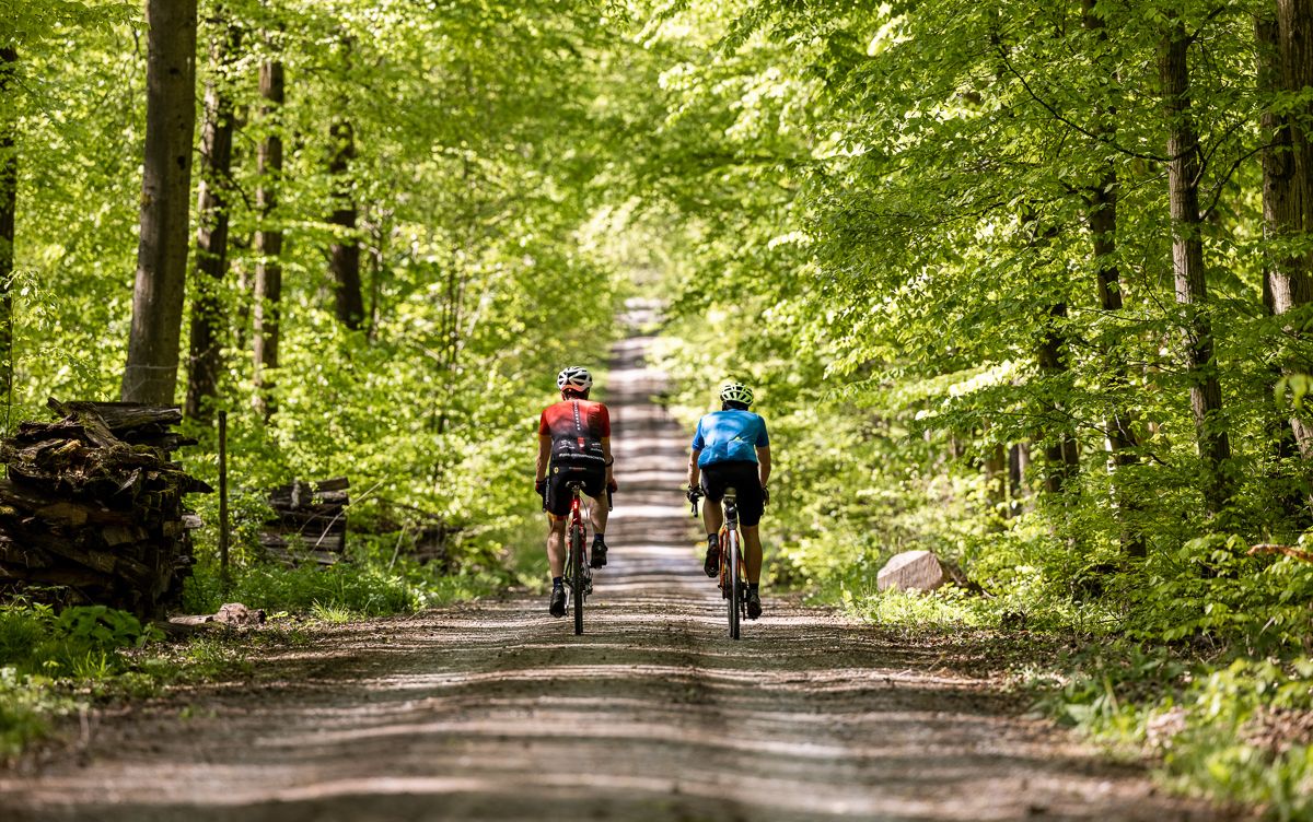
Gravel biking through the land of 1,000 hills – Kraichgau-Stromberg in Germany
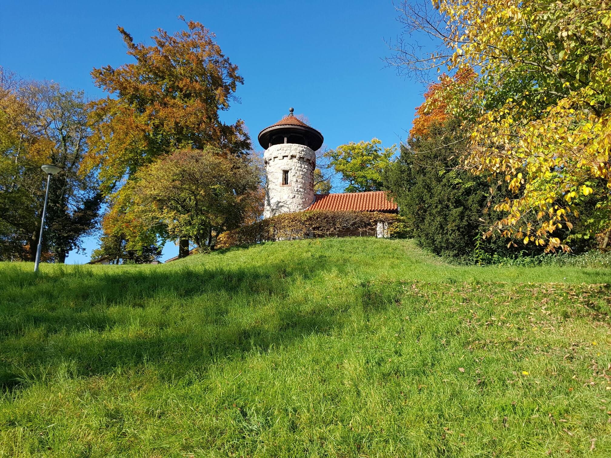
On the Schwarzwald-Nordrandweg from Mühlacker to Durlach
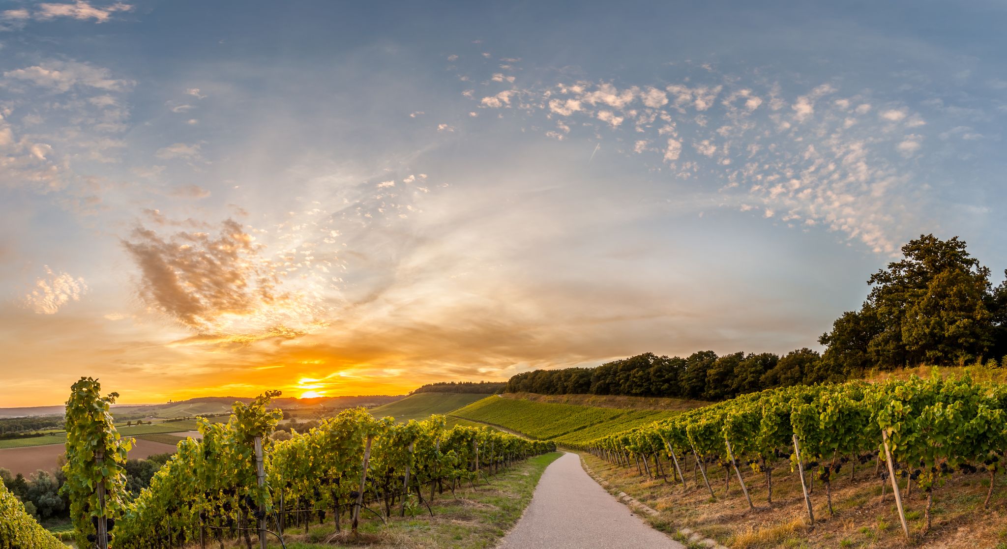
Cycling in the land of 1,000 hills in southern Germany – Kraichgau-Stomberg
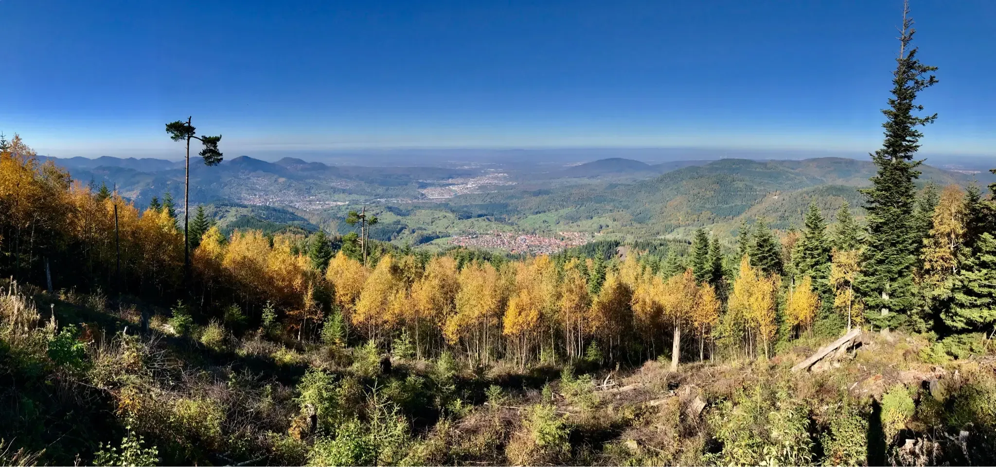
Autumnal hikes with a view in the northern Black Forest
Other adventures around Mühlacker


Tips from the Community

When it was discovered, the princely burial mound of Hochdorf had been reduced to a mere mound of ground. After its reconstruction in 1987, it once again forms an imposing landmark with a diameter of 60 m, a height of 6 m, and a volume of 7,000 m³ of earth and 280 tons of stone. The mound is freely accessible and is half a kilometer from the museum. From the top, you have a magnificent view 👀 of the surrounding landscape 👍🏼
2
0

Around 550 BC, a man aged around 40 to 50 was buried here with princely pomp. A mighty burial mound, around 6 m high and 60 m in diameter, was built over the burial chamber. It was not until the 1970s that traces of this mighty grave monument were found again. The Baden-Württemberg State Monument Authority carried out excavations from 1978 to 1979. The result was and still is sensational: the burial chamber was found completely unrobbed. The dead man was lying on a bronze couch. The prince wore the typical large gold collar and his dagger as a badge of status. Golden funeral jewelry suggests that the body was laid out in a ceremonial manner. The many fragments of fabrics and other objects are of particular importance. In keeping with his status, his four-wheeled, iron-clad cart with yoke and decorated bridle was placed in the grave. A showpiece of bronzesmithing from the Mediterranean region is the large lion cauldron, which contained over 400 litres of mead.
9
0

Education never hurts or just a good opportunity to take a little break 👍🏼
2
0

The Baiselsberg is getting higher and higher, but it is already the "biggest"
7
1
Lay historians got the ball rolling and is now known throughout Europe.
8
4

When the weather is good, you can see as far as the Odenwald from the viewing platform. A wonderful view over the Kraichgau. You can also find information about viticulture and some break areas with playgrounds here.
8
0

...the "Princely Burial Mound of Hochdorf/Enz" - a district of Eberdingen in the Ludwigsburg district, Baden-Württemberg. - The grave was discovered in 1978. - The grave is located in the "Biegel" area, on the northeastern edge of Hochdorf. - Approximately 500 m from the Celtic Museum. - The burial mound was reconstructed to its original size in the mid-1980s. - Since 1991, the meticulously reconstructed ceremonial tomb of the "Celtic Prince of Hochdorf/Enz" can be viewed at the "Celtic Museum Hochdorf/Enz". - The original finds from the Hochdorf Princely Grave are kept in the Württemberg State Museum in Stuttgart's Old Castle. - https://www.eberdingen.de/website/de/gemeinde/geschichte/ortsteil-hochdorf
7
1

The watch tower on the Wartberg dates back to the 15th century and was once used as an observation post for the Pforzheim city fortifications. A spiral staircase takes you to the upper platform, from which you can enjoy a great view. The total height of the tower to the roof is eleven meters. If you want to climb the tower, you have to get the key from the nearby restaurant L'Osteria (Wartbergallee 10). Next to the tower there is a playground for little hikers.
6
2
Frequently Asked Questions
What are the most scenic viewpoints around Mühlacker?
For breathtaking panoramic views, visit View from Derdinger Horn. At 270 meters altitude, it offers expansive vistas over the Kraichgau and Odenwald. Another excellent spot for views is the Feuerbacher Heide-Dickenberg Nature Reserve, known for its beautiful juniper heathland and occasional views. Additionally, Michaelsberg, southeast of Mühlacker, provides a panoramic view of the entire region from its summit.
Are there any historical sites among the elevated areas near Mühlacker?
Yes, the Celtic grave Hochdorf is a significant historical site. It features a reconstructed burial mound, originally built around 550 BC, with a diameter of 60 meters. The site offers a glimpse into the region's ancient past.
What is the highest point in the Stromberg region near Mühlacker?
The highest point in the Stromberg region is Baiselsberg — Highest Point in the Stromberg. While the summit itself doesn't offer a direct view, it's recognized as the highest elevation in the area and is known for a rewarding downhill trail.
Are there family-friendly hiking options among the elevated areas near Mühlacker?
Yes, several spots are suitable for families. The View from Derdinger Horn is considered family-friendly, offering an accessible viewing platform. The Celtic grave Hochdorf is also family-friendly, with a reconstructed burial mound that can be interesting for children. Additionally, the Feuerbacher Heide-Dickenberg Nature Reserve provides a pleasant natural setting for family walks.
What kind of natural features can I expect to see on hikes around Mühlacker?
The region around Mühlacker, part of the Kraichgau-Stromberg area, offers a diverse landscape. You'll find dense forests, especially leading up to elevated points like Michaelsberg and Schlierkopf Summit. The Feuerbacher Heide-Dickenberg Nature Reserve features unique heathland, species-rich meadows, and hedges. Many trails also follow the picturesque Enz River.
Are there easy hiking trails near the elevated areas of Mühlacker?
Yes, there are several easy hiking routes available. For example, the 'Auwiesen Ponds – Hill Sofa Vaihingen, Aurich loop' and the 'Narrow path along the Enz – Narrow Path to Kammertenberg loop' are both rated as easy. You can find more easy options in the Easy hikes around Mühlacker guide.
What outdoor activities can I do near the elevated areas around Mühlacker?
Besides exploring the elevated areas themselves, the region offers a variety of outdoor activities. You can find numerous hiking trails, including moderate options like the 'MÜ1 - Wanderdreiklang (lange Strecke)' and the 'Eppiniger Linien Weg – View of Maulbronn Monastery loop' in the Hiking around Mühlacker guide. Road cycling is also popular, with routes such as the 'Diefenbach Village Center loop' and the 'Nagold Valley Cycle Path – Nagold Valley Cycle Path loop' detailed in the Road Cycling Routes around Mühlacker guide.
What do visitors enjoy most about the elevated areas around Mühlacker?
Visitors particularly appreciate the panoramic views from spots like View from Derdinger Horn. The historical significance of sites like the Celtic grave Hochdorf also draws interest. Many enjoy the diverse terrain for hiking, from challenging ascents to pleasant walks through forests and heathlands, as well as the overall natural beauty of the Kraichgau-Stromberg region.
Is the Schlierkopf Summit worth visiting, and what can I expect?
The Schlierkopf Summit is a 449.6-meter high elevation within the Stromberg ridge. While the summit itself is surrounded by high forest and lacks a direct view, it's a notable peak for hikers. The ascent can be challenging in wet weather, and the descent towards Katzenbachsee is described as phenomenal, with small challenges and ravines.
Are there any specific regulations or permits required for hiking in the Enz district near Mühlacker?
Generally, no specific permits are required for hiking on public trails in the Enz district. However, it's always advisable to respect local regulations, especially within nature reserves like the Feuerbacher Heide-Dickenberg Nature Reserve, which are in place to protect the natural environment. Stick to marked paths and be mindful of any signage regarding protected areas.
Can I bring my dog on hiking trails around Mühlacker?
Many hiking trails in the Enz district are dog-friendly. However, it's crucial to keep dogs on a leash, especially in nature reserves, agricultural areas, and near wildlife. Always carry waste bags and ensure your dog does not disturb other hikers or animals. Specific rules might apply in certain protected areas, so look for local signage.
What is the best time of year to hike the elevated areas near Mühlacker?
The region is beautiful year-round, but spring and autumn offer particularly pleasant hiking conditions with mild temperatures and vibrant scenery. Spring brings blooming flora, while autumn showcases colorful foliage. Summer can be warm, making early morning or late afternoon hikes ideal. Winter hiking is possible, but trails might be slippery or muddy, especially on challenging ascents like the Schlierkopf Summit.
Most popular routes around Mühlacker
Most popular attractions around Mühlacker

Get inspired with the komoot mobile app


Explore more
See even more amazing summits around Mühlacker with these guides:
