The best cycling routes around gmina Pokrzywnica
4.8
(283)
1,235
riders
218
rides
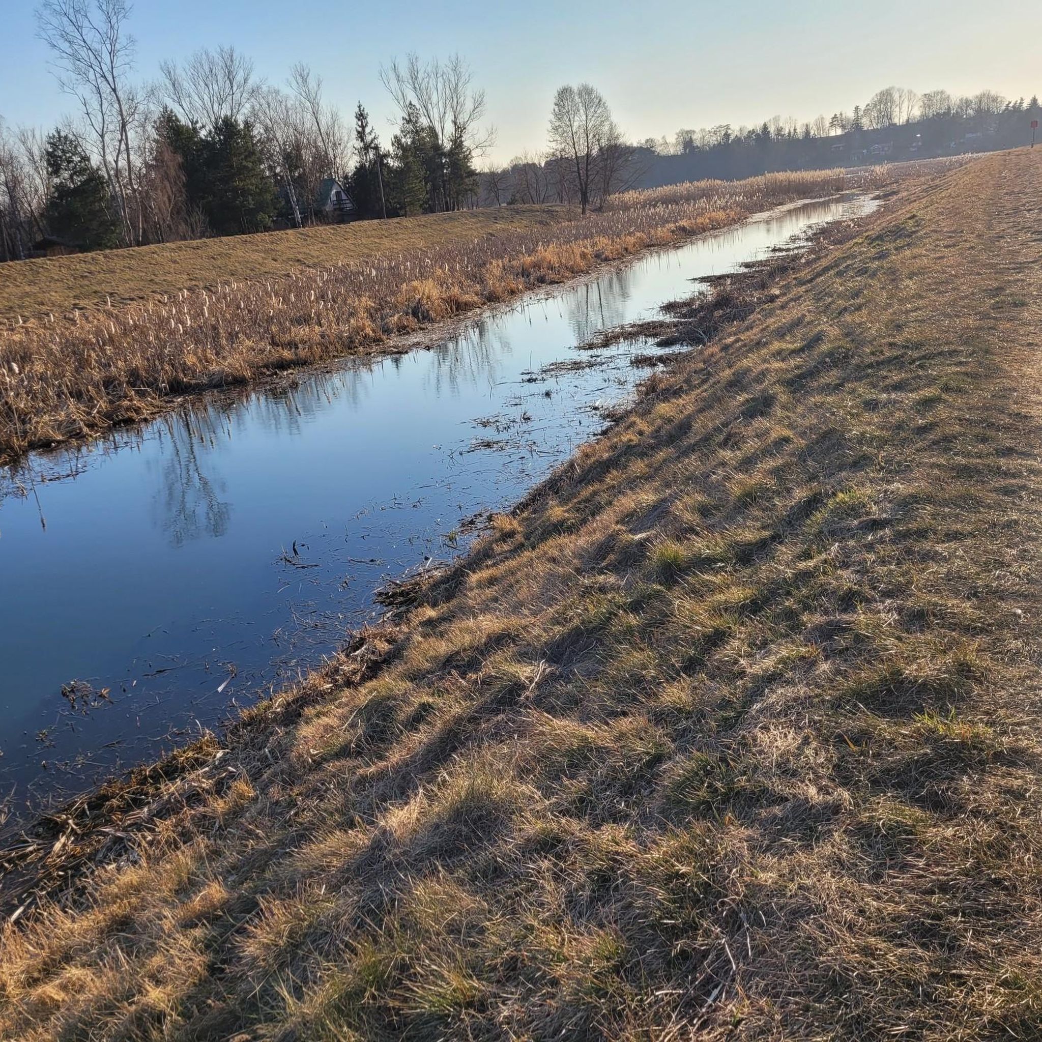
Touring cycling around gmina Pokrzywnica features a landscape shaped by rivers, forests, and protected natural areas. The eastern border is defined by the Narew River, known for its scenic meadows and oxbow lakes. Forests cover over 12% of the commune's area, providing shaded routes. The terrain is generally flat or gently rolling, making it suitable for various cycling abilities.
Best touring cycling routes around gmina Pokrzywnica
- The most popular touring cycling route is Pułtusk Town Hall Tower – View of…
Last updated: June 27, 2026
4.7
(3)
15
riders
49.1km
03:18
100m
100m
Moderate bike ride. Good fitness required. Mostly paved surfaces. Suitable for all skill levels.
13
riders
20.6km
01:20
110m
110m
Easy bike ride. Great for any fitness level. Mostly paved surfaces. Suitable for all skill levels.

Sign up for free
4.8
(4)
10
riders
Moderate bike ride. Good fitness required. Mostly paved surfaces. Suitable for all skill levels.
5.0
(1)
7
riders
50.1km
03:33
180m
180m
Hard bike ride. Good fitness required. You may need to push your bike for some segments of this route.
5.0
(1)
5
riders
Easy bike ride. Great for any fitness level. Mostly paved surfaces. Suitable for all skill levels.
Get access to more routes and recommendations from other explorers.
Sign up for free
Already have an account?
Our route recommendations are based on thousands of hikes, rides, and runs completed by other people on komoot.
Start today with a free account
Your next adventure awaits.
Login or Signup

Tips from the Community

There is a store right across the street. Convenient for recharging.
0
0

Why this road is designated as a bike path remains a mystery to me. It's a highway without a large shoulder, and trucks roar past you at close quarters. It's better to turn north here and take the detour parallel to the river. Admittedly, the route is quite sandy, but unless you're on a racing bike, it's manageable.
4
0

"The history of the town hall dates back to the early 15th century. Bishop Jakub of Płock is said to have funded the seat of the town authorities in 1405. The Gothic tower added to the town hall fulfilled both judicial and penitentiary functions as well as defense. Initially, it reached a height of 15 m and was built on a rectangular plan. During the 15th and 16th centuries, it was gradually raised, with additional storeys built on an octagonal plan. A new town hall was also built - lower, more modern - in the Renaissance style, topped with a crested attic. The 30-meter tower at that time gained a domed spire with a lantern, and a clock was also ordered for it. During the wars in the 17th and 18th centuries, the town hall burned down several times. In 1728, it was rebuilt with funds from Bishop Andrzej Stanisław Kostka Załuski. The two-bay building surrounded the tower in a horseshoe shape from the east. The entrance was located on the north and covered with a wooden arcade. The tower roof was changed to an octagonal one, and the clock was abandoned. In this form, the town hall survived until the end of the 19th century. At that time, in addition to the city authorities, the army was quartered here, and there was a prison and even warehouses for Pułtusk merchants. At the end of the 19th century, a shelter was organized in the ruined building, and from 1880, the ground floor and the tower were put into use by the Volunteer Fire Department. After 1902, a new, smaller building was erected on the site of the former building, in the neo-Gothic style, only for the use of the fire department. The tower was deprived of its roof, replacing it with an uncovered platform. It turned out to be completely non-functional and the original roof covering of the tower top was quickly restored. Also at that time, a clock was placed on the north side, on the seventh floor." Source: https://arch.pultusk.pl/wieza-dawnego-ratusza-gotycko-renesansowa/
1
0
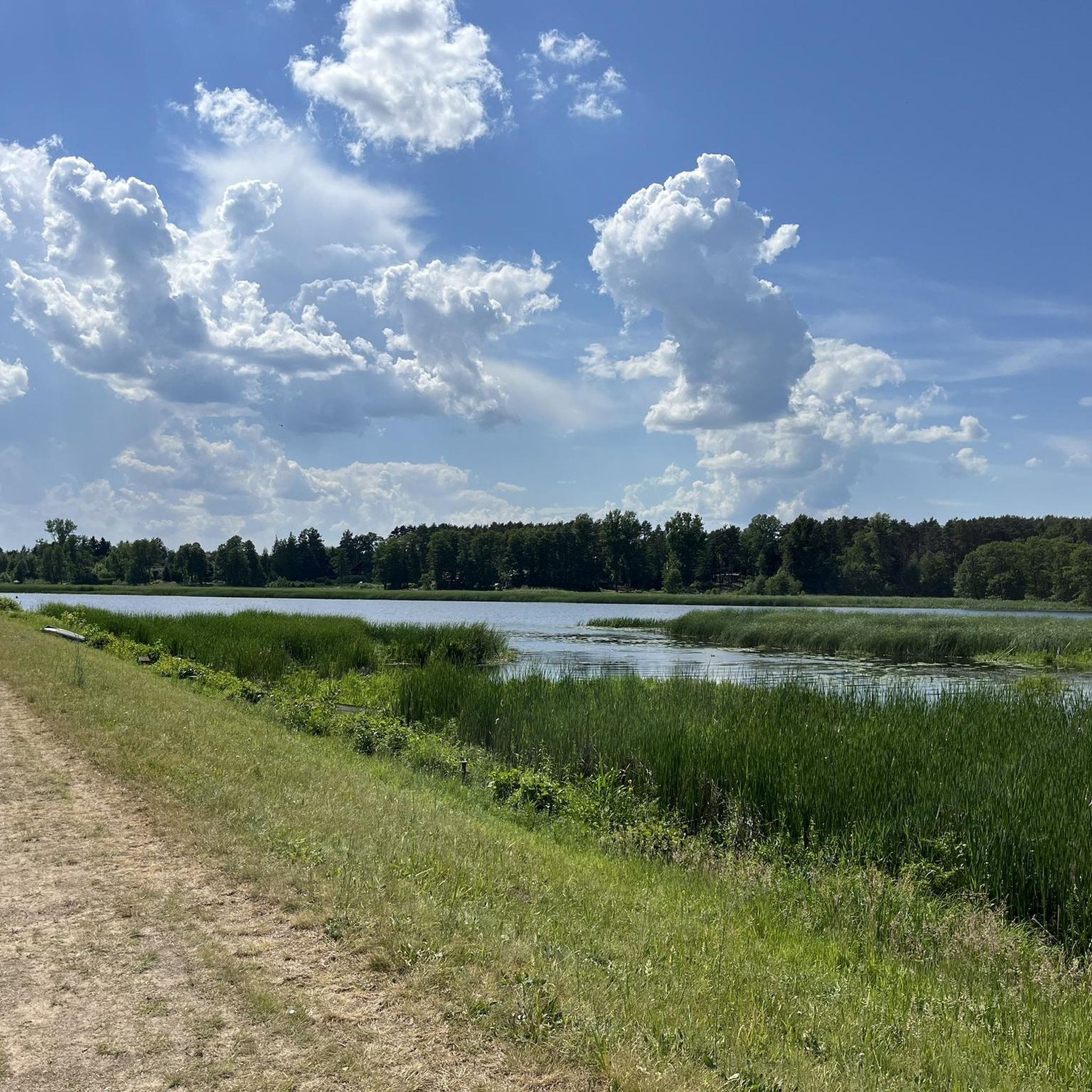
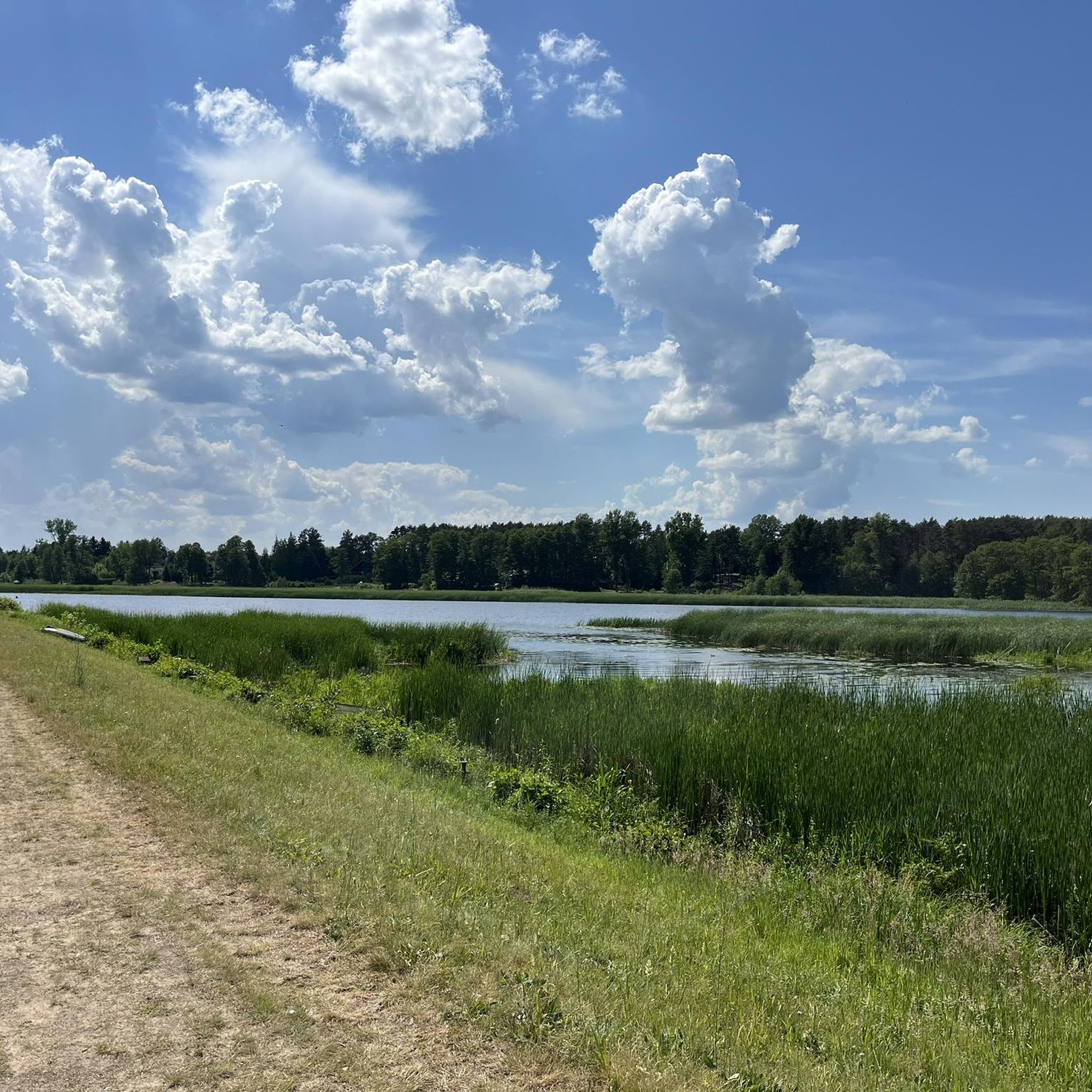
A bit of shade, a bit of sand, a bit of boats - all in all very nice :-)
1
0
The Chinese have their Great Wall visible from space, and the Poles have their abandoned and decaying strawberry plant - also visible from space. Such a story.... In the past, it advertised the cultivation of strawberries by the SadPol farm, and now it is dying with its last strength, abandoned alone in the field. Access due to the lack of a fence. https://www.google.com/maps/@52.5330315,21.069995,42m/data=!3m1!1e3?entry=ttu&g_ep=EgoyMDI1MDYzMC4wIKXMDSoASAFQAw%3D%3D https://www.onet.pl/turystyka/szaryburekpl/ogromna-truskawka-pod-warszawa-skad-sie-tam-wziela/8lmg9p0,30bc1058
1
0

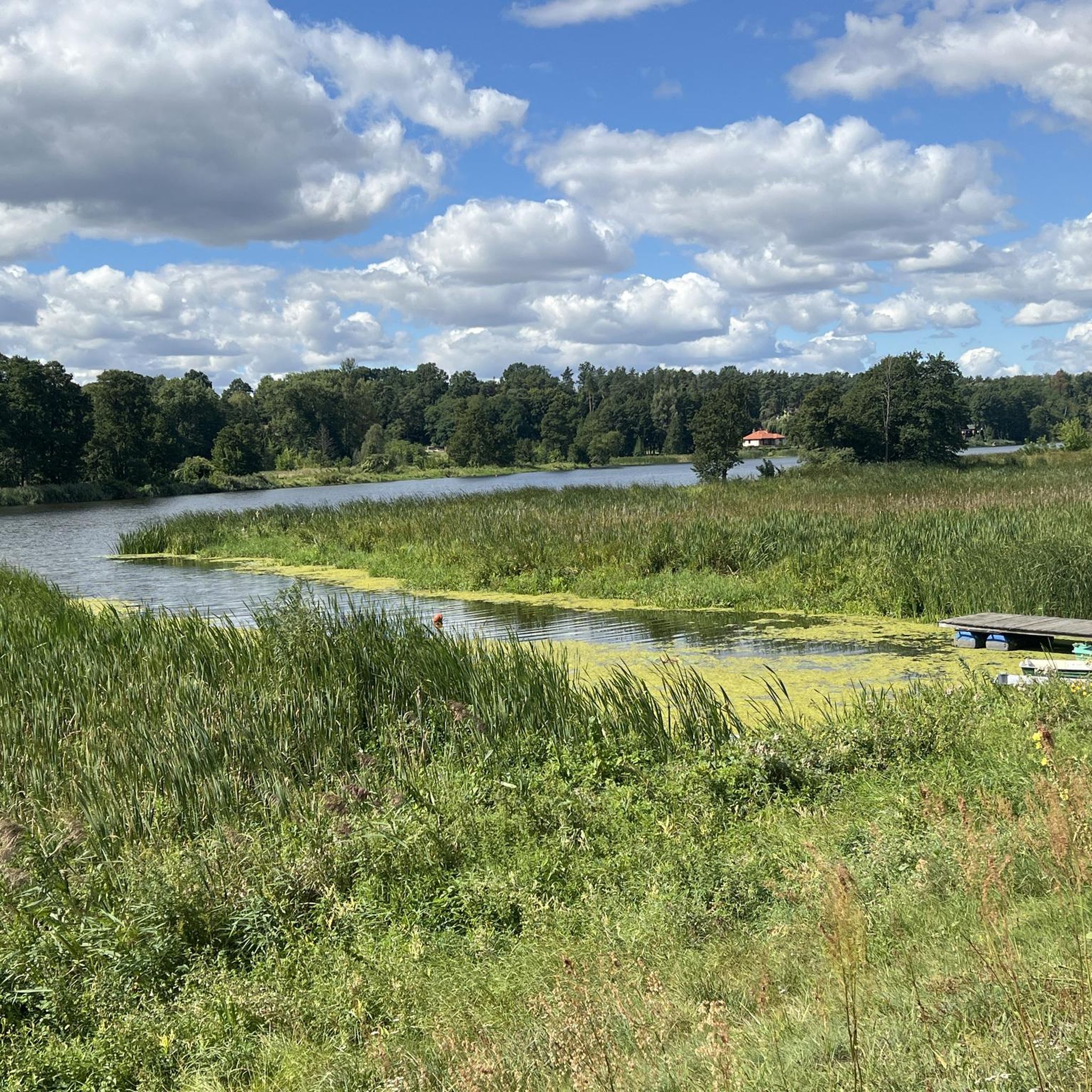
Beach and pier, a good place for a break.
0
0

Very boring road. On one side a embankment blocking any view, on the other side a row of ugly trees. Driving in the type "on a motorway between acoustic screens".
0
0

Frequently Asked Questions
How many touring cycling routes are available in gmina Pokrzywnica?
There are nearly 20 touring cycling routes available in gmina Pokrzywnica, catering to various skill levels. The komoot community has explored these routes over 1,000 times, contributing to their high average rating.
What kind of terrain can I expect on touring cycling routes in gmina Pokrzywnica?
The terrain in gmina Pokrzywnica is generally flat or gently rolling, making it suitable for a wide range of cycling abilities. Routes often follow riverbanks, traverse scenic meadows, and pass through forests, offering a pleasant and accessible cycling experience.
Are there touring cycling routes suitable for families or beginners?
Yes, gmina Pokrzywnica offers several easy touring cycling routes, with 11 routes specifically categorized as easy. An example of an easy route is the Philosopher’s Stone loop from Pokrzywnica, which is under 20 km long and has minimal elevation gain.
What natural attractions can I see along the touring cycling routes?
Gmina Pokrzywnica is rich in natural beauty. You can cycle along the picturesque Narew River, known for its scenic meadows and oxbow lakes. Portions of the Nadbużański Landscape Park and the Nasielsko-Karniewski Protected Landscape Area also offer valuable ecosystems to explore. For birdwatching, the Dzierżenińska Kępa Nature Reserve is a notable 'bird island' on the Narew.
Are there any historical landmarks or points of interest to visit?
Yes, the region features several interesting landmarks. You can find natural monuments like a large white chestnut tree in Niestępowo, an ancient oak in Budy Obrębskie, and a remarkable Linden Alley with 166 trees in Gzowo. Nearby, you can also visit the Pułtusk Town Hall Tower or the historic Pułtusk Market Square.
Can I find circular touring cycling routes in gmina Pokrzywnica?
Many of the touring cycling routes in gmina Pokrzywnica are designed as loops, allowing you to start and end at the same point. For instance, the Pułtusk Town Hall Tower – View of the Pultusk Canal loop from Gąsiorowo is a popular circular route offering canal views.
What is the best time of year for touring cycling in gmina Pokrzywnica?
The generally flat terrain and natural landscapes of gmina Pokrzywnica make it enjoyable for touring cycling from spring through autumn. These seasons offer pleasant weather for exploring the riverbanks, forests, and protected areas.
What do other touring cyclists enjoy most about cycling in gmina Pokrzywnica?
The touring cycling routes in gmina Pokrzywnica are highly rated by the komoot community, with an average score of 4.7 stars from over 275 reviews. Cyclists often praise the scenic beauty of the Narew River, the peaceful forest paths, and the diverse natural scenery found in areas like the Bug River Wetlands.
Are there any challenging touring cycling routes in the area?
While much of the terrain is gentle, there are a couple of routes categorized as difficult for those seeking more of a challenge. One such route is the Beach in Holendry – Harbor on the Narew loop from Nowe Niestępowo, which covers approximately 49 km and includes more significant elevation changes.
Are there routes that specifically follow the Narew River?
Yes, the Narew River forms the eastern border of gmina Pokrzywnica and is a central feature of many routes. You can find paths that lead through areas near the Narew, offering picturesque views of the river, its meadows, and oxbow lakes. The Beach in Holendry – Harbor on the Narew loop from Nowe Niestępowo is an example of a route that explores the Narew River area.
Are there any routes that explore the Bug River Wetlands?
Yes, one notable route that explores the diverse natural scenery of the Bug River Wetlands is the View of the Bug River Wetlands – Bug River loop from Klusek. This moderate route is longer, covering over 70 km, and offers an immersive experience in this unique ecosystem.
Where can I find places to park my car when starting a touring cycling route?
While specific parking locations for each route are not detailed, many routes start from villages or towns within gmina Pokrzywnica, such as Gąsiorowo, Klusek, Nowe Niestępowo, or Pokrzywnica itself. It is advisable to check local parking availability in these starting points.
Most popular routes around gmina Pokrzywnica
Most popular attractions around gmina Pokrzywnica

Get inspired with the komoot mobile app


Explore more
Browse the best Cycling routes in other regions.
