The best running trails around gmina Olszanka
4.6
(9)
379
runners
50
runs
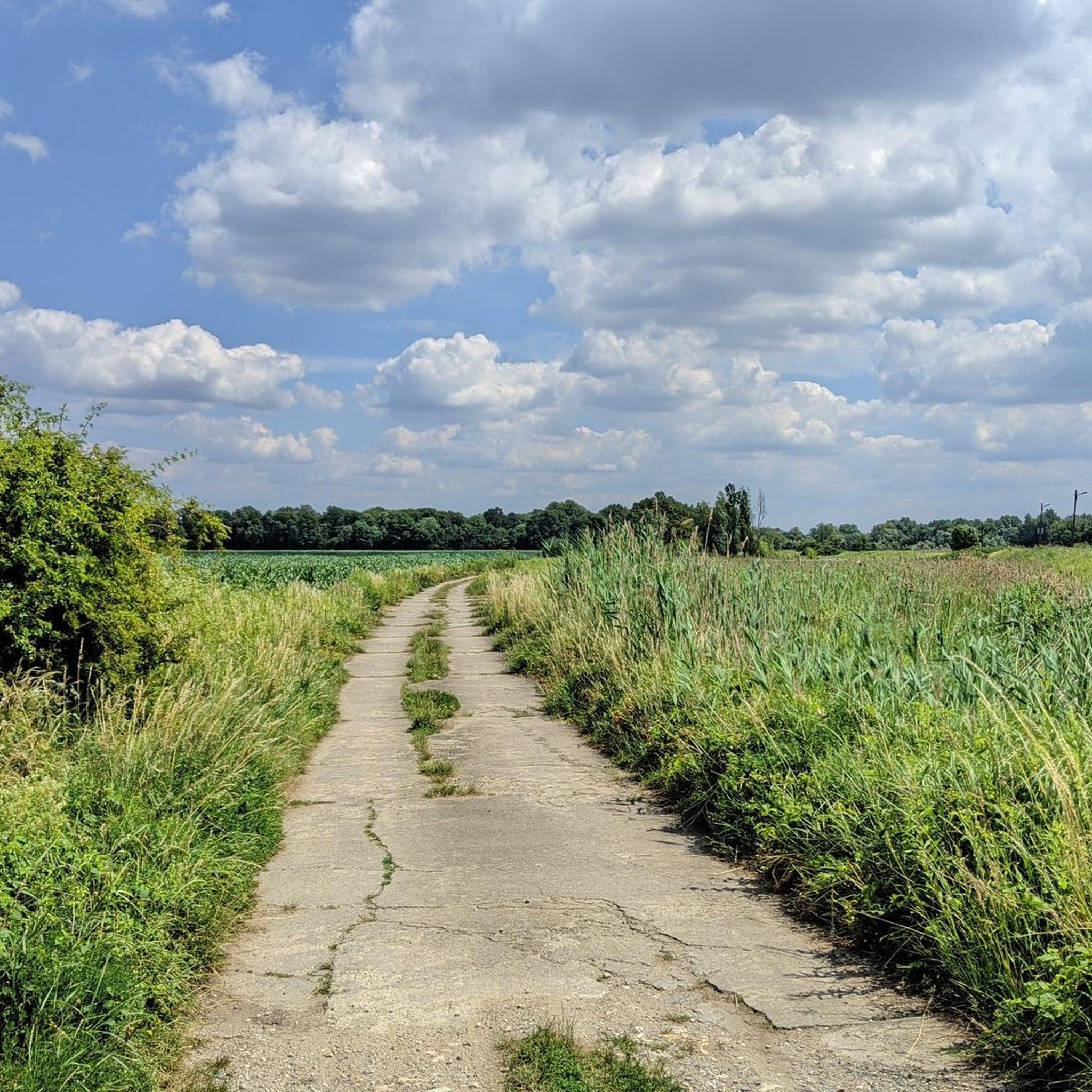
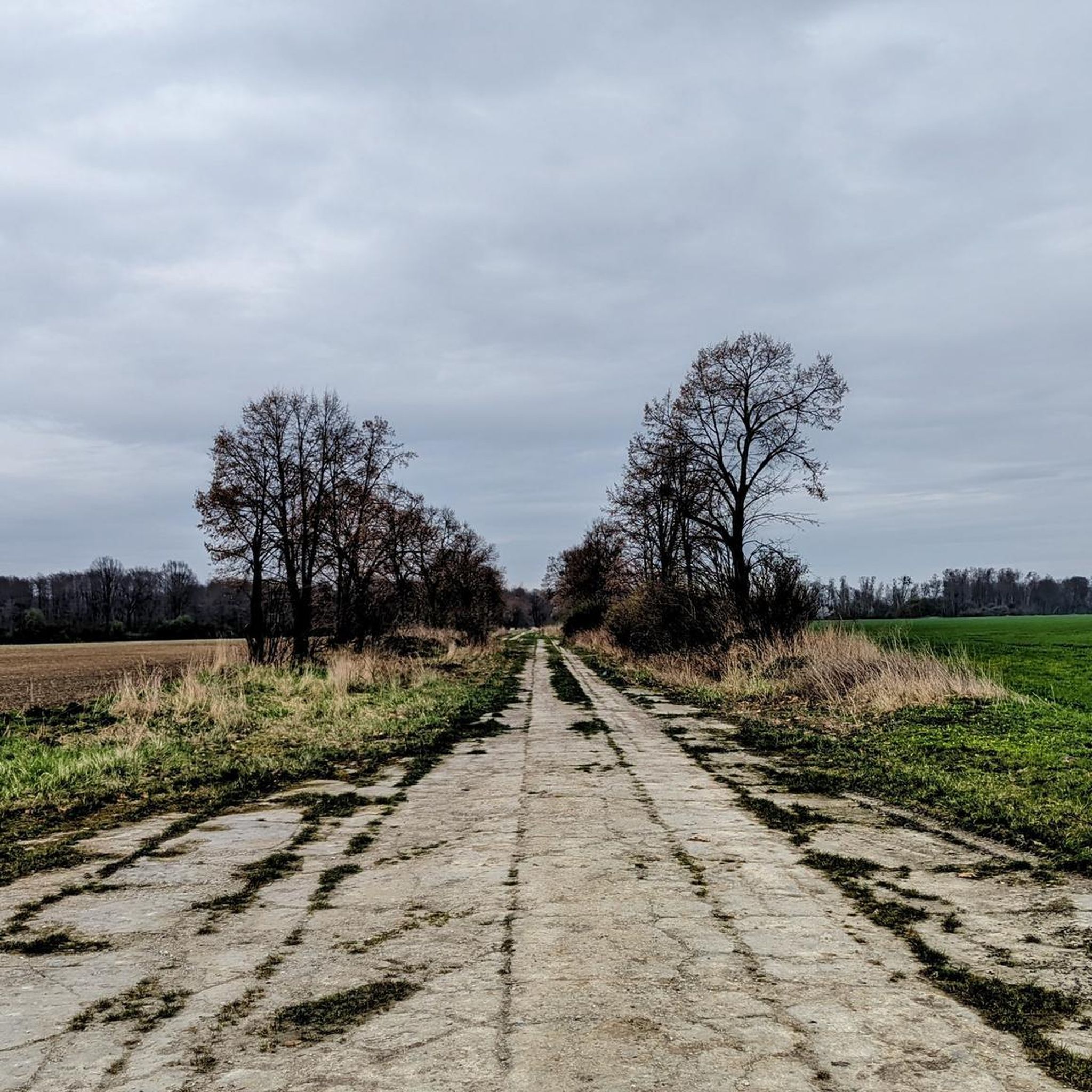
Jogging routes around gmina Olszanka traverse a diverse and serene natural landscape in southwestern Poland. The region features picturesque rural settings with expansive plains and gentle hills, providing varied terrain for runners. Key natural features include the Liwiec and Toczna rivers, offering unique riparian landscapes, and the "Karasiowy Zakątek" water reservoir, which has been revitalized for recreational use. Historical parks, such as the one in Janów with its ancient trees, also provide shaded and aesthetically pleasing running environments.
Best jogging…
Last updated: May 23, 2026
21
runners
5.40km
00:33
0m
0m
Moderate run. Good fitness required. Mostly paved surfaces. Suitable for all skill levels.
13
runners
12.2km
01:16
30m
30m
Moderate run. Good fitness required. Mostly paved surfaces. Suitable for all skill levels.

Sign up for free
12
runners
11.0km
01:09
40m
40m
Moderate run. Good fitness required. Mostly paved surfaces. Suitable for all skill levels.
10
runners
16.1km
01:42
30m
30m
Hard run. Very good fitness required. Mostly paved surfaces. Suitable for all skill levels.
5
runners
8.10km
00:51
10m
10m
Moderate run. Good fitness required. Mostly paved surfaces. Suitable for all skill levels.
Get access to more routes and recommendations from other explorers.
Sign up for free
Already have an account?
Our route recommendations are based on thousands of hikes, rides, and runs completed by other people on komoot.
Start today with a free account
Your next adventure awaits.
Login or Signup

Tips from the Community


The Piastowski Bridge, commissioned in 1954, was built on the site of the Odrzański Bridge, destroyed in 1945. It was created from two spans of the Vistula bridge from 1891 from the village of Fordon
2
0
Frequently Asked Questions
How many running routes are available in Gmina Olszanka?
You'll find nearly 50 dedicated running routes in Gmina Olszanka, catering to various preferences and fitness levels. These routes are highly rated by the komoot community, with an average score of 4.7 stars from over 20 reviews.
What kind of terrain can I expect on the jogging trails in Gmina Olszanka?
Gmina Olszanka offers a diverse and serene landscape for runners. While much of the area features expansive plains and colorful fields, you'll also encounter gentle hills, particularly towards the highest point, Wzgórze Szubieniczne. The region is characterized by its three distinct forest areas, including the significant Przylesie nature reserve, providing shaded and tranquil running environments.
Are there any easy or beginner-friendly jogging routes?
Yes, Gmina Olszanka has several routes suitable for beginners or those looking for an easier run. There are 6 routes classified as 'easy'. For a relatively flat and accessible experience, consider the DotlenieniRun Route loop from Skarbimierz, which is a moderate 3.9 miles (6.4 km) path.
What are some of the longer or more challenging running trails?
For those seeking a greater challenge, Gmina Olszanka offers 8 routes classified as 'difficult'. A notable option is the Brzeg - 14th-century castle loop from Brzeg, an 18.25 km (11.3 miles) route with some elevation changes, offering a more demanding run.
Are there any circular jogging routes in the area?
Many of the jogging routes in Gmina Olszanka are designed as loops, allowing you to start and finish at the same point. For example, the popular Zamek Piastów Śląskich loop from Brzeg is an 11.1 km (6.9 miles) circular trail that passes by historical landmarks.
What natural landmarks or scenic spots can I see while running?
The region boasts several natural highlights. You can run through significant forest areas, including the Przylesie Nature Reserve, known for its 200-year-old oak stand and protected plant species. The Kokorycz Nature Reserve also offers beautiful forest scenery. Additionally, the Liwiec and Toczna rivers, along with the 'Karasiowy Zakątek' water reservoir, provide unique riparian landscapes.
Are there historical sites or attractions along the running paths?
Yes, several routes pass by or near historical sites. The Staw Cegielnia loop from Brzeg, for instance, leads through areas with water features and is close to historical points of interest. You might also encounter historic churches in villages like Michałów and Obórki, or pass by palaces such as Kopice Palace, adding a cultural dimension to your run.
Can I bring my dog on the jogging trails in Gmina Olszanka?
While specific regulations for each trail may vary, many natural areas and forest paths in Gmina Olszanka are generally dog-friendly, especially if your dog is well-behaved and kept on a leash. The serene rural setting and expansive natural spaces make it a pleasant environment for running with your canine companion.
Are the jogging routes suitable for families or running with kids?
Yes, the gentle topography and varied terrain offer options for families. The easier and shorter routes, particularly those through parks or less challenging forest paths, can be enjoyable for running with children. The presence of historical parks, like the one in Janów with its ancient trees, provides pleasant and shaded environments for family outings.
What is the best time of year to go jogging in Gmina Olszanka?
Gmina Olszanka offers pleasant running conditions throughout much of the year. Spring and autumn provide mild temperatures and beautiful scenery with colorful fields and changing foliage. Summer can be warm, but the numerous forest areas, including the Przylesie nature reserve, offer shaded routes. Even in winter, with appropriate gear, the quiet, snow-dusted landscapes can be quite picturesque for a run.
Is there public transport access to the jogging trails?
While Gmina Olszanka is a rural area, some villages and towns within or near the gmina, such as Brzeg and Skarbimierz, may have local bus connections. It's advisable to check local public transport schedules for specific routes and stops that might be convenient to your chosen starting point.
Where can I find parking for the running routes?
Parking availability can vary by route. For routes starting in or near towns like Brzeg or Skarbimierz, you may find designated parking areas. For trails in more rural or forest settings, look for small parking lots or roadside pull-offs near trailheads. It's always a good idea to check specific route details on komoot or local signage for recommended parking spots.
Most popular attractions around gmina Olszanka

Get inspired with the komoot mobile app


Explore more
Browse the best Running Trails & Routes in other regions.
