The best MTB trails around Roźwienica
4.6
(12)
39
riders
26
rides
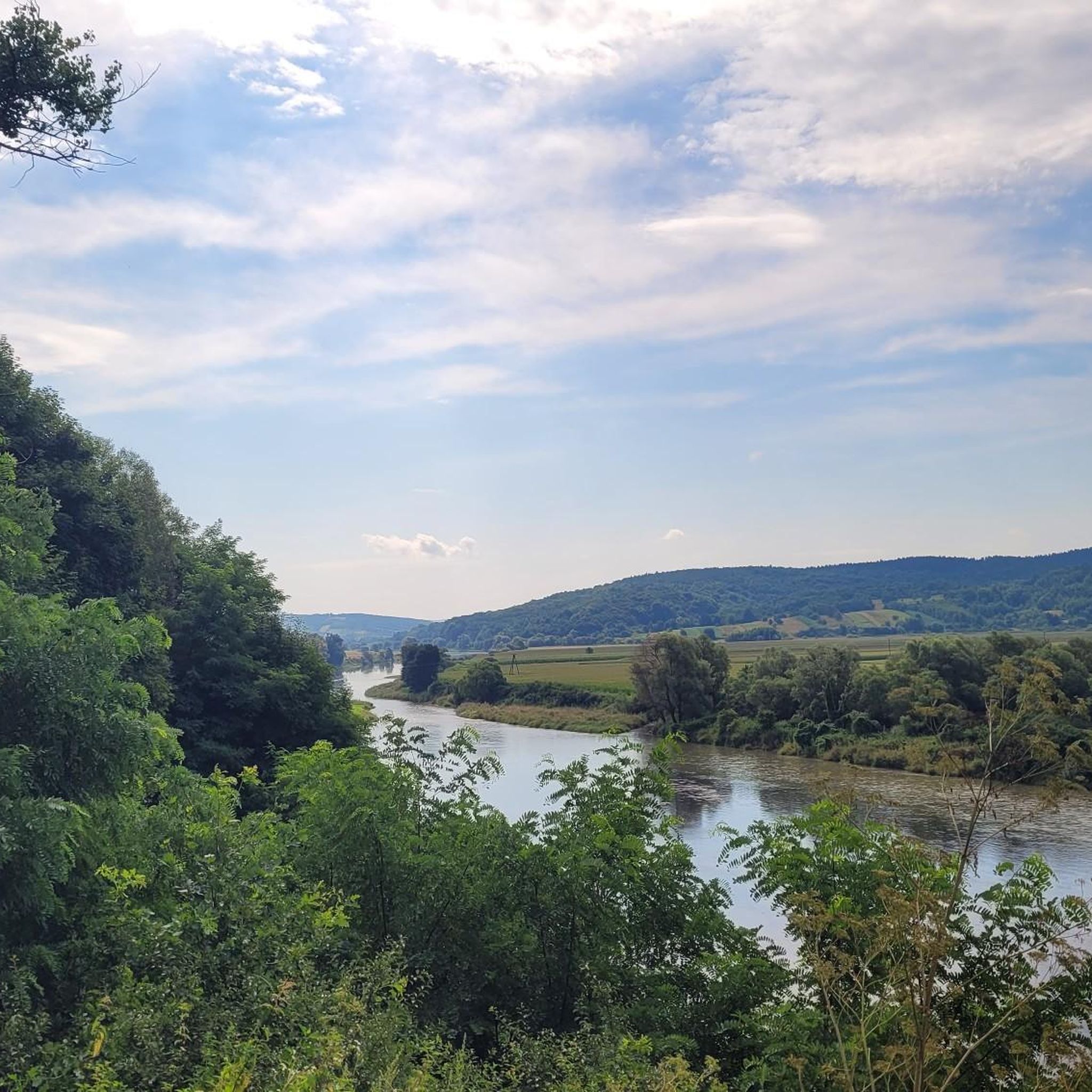
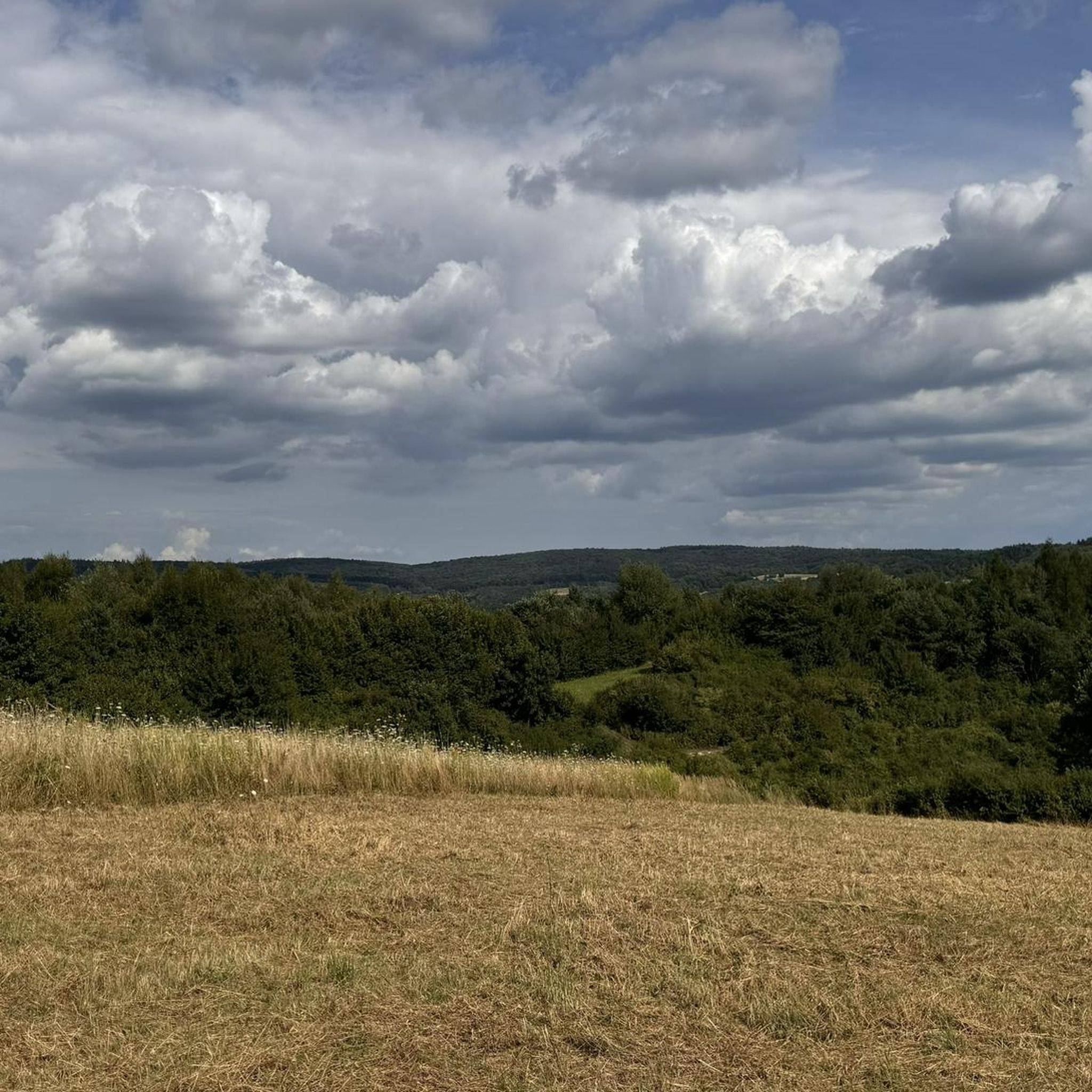
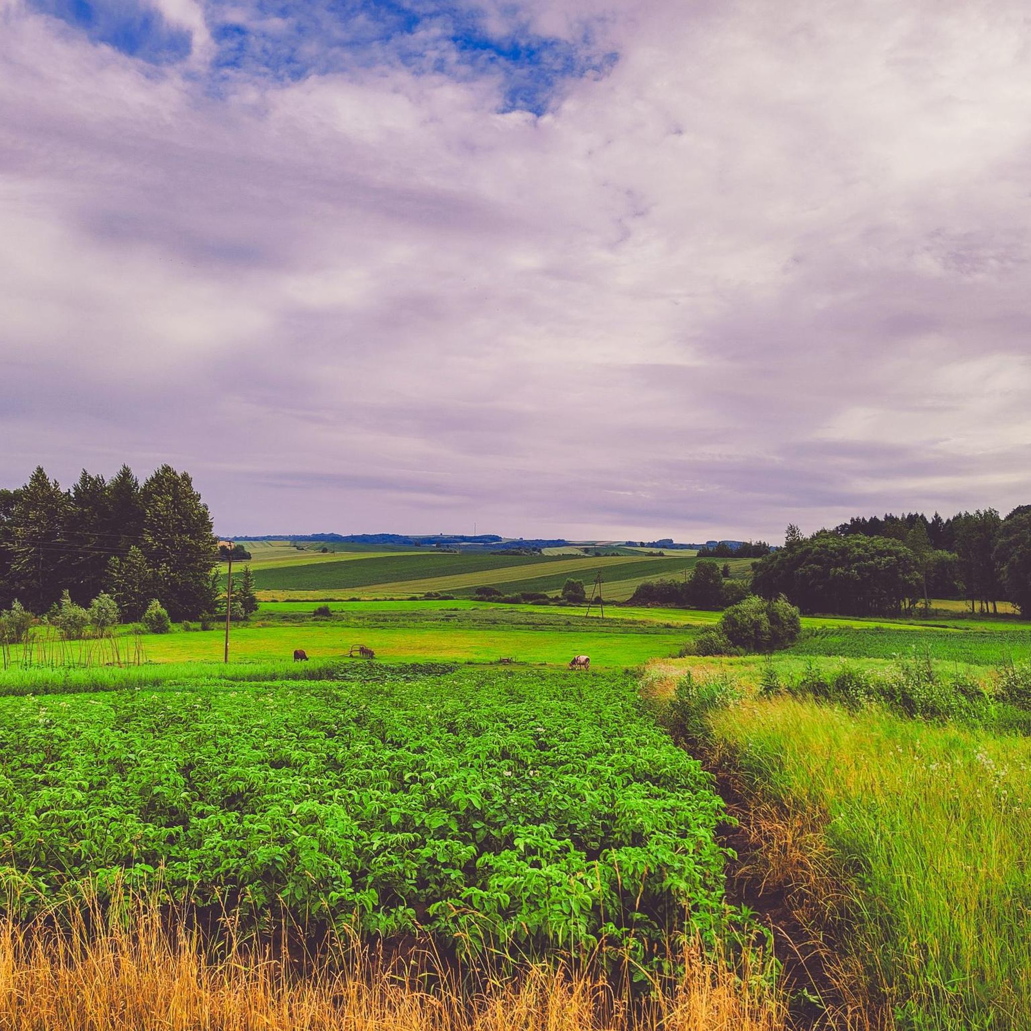
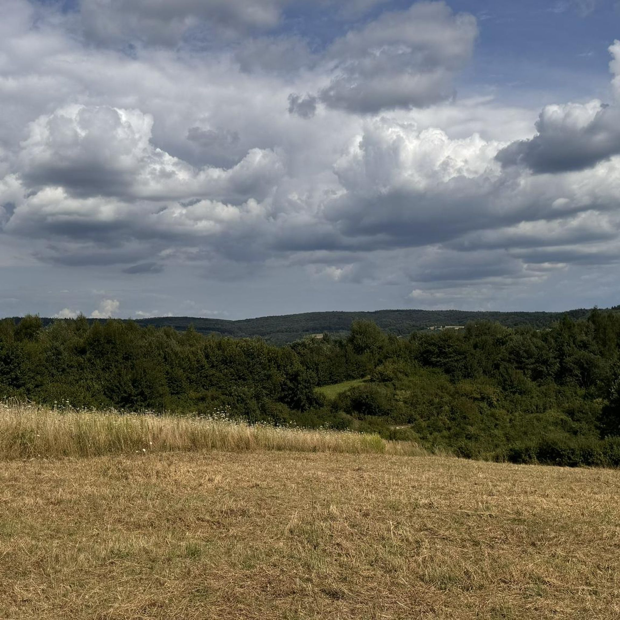
Mountain biking around Roźwienica offers routes through the varied landscape of Jarosław County in southeastern Poland. The region is characterized by hilly terrain, including features like Iwo Hill and picturesque gorge valleys. Trails often traverse oak-beech forests and provide panoramic views from elevated points. This area provides a mix of challenging climbs and scenic descents suitable for mountain biking.
Best mountain bike trails around Roźwienica
- The most popular mountain bike trail is Pruchnik Observation Tower – Panoramic View loop from…
Last updated: August 20, 2026
4.8
(4)
6
riders
43.6km
03:21
670m
670m
Moderate mountain bike ride. Good fitness required. Suitable for all skill levels.
5.0
(4)
12
riders
34.3km
02:30
530m
530m
Moderate mountain bike ride. Good fitness required. Advanced riding skills necessary.

Sign up for free
3.0
(1)
3
riders
45.6km
04:01
930m
930m
Hard mountain bike ride. Very good fitness required. Advanced riding skills necessary.
5.0
(1)
6
riders
62.8km
04:33
830m
830m
Moderate mountain bike ride. Good fitness required. Suitable for all skill levels.
7
riders
41.5km
02:24
150m
150m
Moderate mountain bike ride. Good fitness required. Suitable for all skill levels.
Get access to more routes and recommendations from other explorers.
Sign up for free
Already have an account?
Our route recommendations are based on thousands of hikes, rides, and runs completed by other people on komoot.
Start today with a free account
Your next adventure awaits.
Login or Signup
Tips from the Community

The former Jesuit church of St. John. Originally a Renaissance structure, it has been rebuilt many times. It is now the oldest former Jesuit church in Poland. It's truly worth it—a beautiful sight.
1
0

pedestrian and bicycle bridge over the San River. An interesting attraction
0
0

The pedestrian and bicycle footbridge in Bachów is a picturesque crossing over the San, often used by cyclists and walkers. It allows you to conveniently cross the river in a quiet, green area, away from busy roads. The footbridge offers a beautiful view of the San valley, which makes it an attractive point on the route of a trip around the Przemyskie Foothills.
3
0
The pedestrian and bicycle footbridge over the San in Przemyśl is a structure suspended on 24 steel cables, weighing about 175 tons. It is an attractive point on the bicycle route, offering spectacular views of the river and the city panorama. Right next to it, on the southern bank of the San, is the Green Velo Cyclist Service Area (MOR), where you can rest and use the infrastructure for cyclists (a shelter, benches, bicycle racks).
2
0

Collegiate Church of Corpus Christi.
0
0

The tower in a new version. It makes a really good impression. From the Pruchnik side, along Leśna Street, there is an interesting asphalt driveway, practically right up to the tower. The descent is even better. It is worth visiting this place.
0
0

There are about 2,000 soldiers buried there. The cemetery was established in 1915.
2
0
Worth a visit. Very convenient access from the market square.
0
0
Frequently Asked Questions
How many mountain bike trails are available around Roźwienica?
There are over 20 mountain bike routes around Roźwienica listed on komoot, offering a variety of experiences for different skill levels.
Are there any easy mountain bike trails suitable for beginners in the Roźwienica area?
Yes, there are 3 easy mountain bike routes around Roźwienica. These routes are generally shorter and have less elevation gain, making them ideal for beginners or those looking for a relaxed ride.
What kind of terrain can I expect on mountain bike trails near Roźwienica?
The mountain bike trails around Roźwienica are characterized by hilly terrain, often traversing oak-beech forests and offering panoramic views. You can expect a mix of challenging climbs and scenic descents, with some routes featuring unpaved segments.
Are there any challenging mountain bike routes for experienced riders?
Absolutely. For experienced riders seeking a challenge, there are 3 difficult routes available. One such demanding option is the Panoramic View – Pruchnik Observation Tower loop from gmina Roźwienica, which is 50.4 km long with significant elevation gain.
What are some notable natural attractions I can see while mountain biking near Roźwienica?
The region offers several natural attractions. You could explore the Przełom Hołubli Nature Reserve, known for its picturesque gorge valley and oak-beech forest. Another route, the Przełom Hołubli Nature Reserve – Panoramic View loop from Średnia, incorporates this beautiful area.
Are there any historical landmarks or points of interest along the mountain bike routes?
Yes, the area is rich in history. You can visit Krasiczyn Castle, known for its beautiful gardens, or the Ignacy Krasicki Monument at Dubiecko Castle. The Pruchnik Observation Tower also offers panoramic views and is a prominent landmark.
Are there any circular mountain bike routes in the Roźwienica area?
Many of the mountain bike routes around Roźwienica are designed as loops. For example, the moderate Pruchnik Observation Tower – Panoramic View loop from Pruchnik is a popular circular trail, as is the more challenging Panoramic View loop from Babice.
What do other mountain bikers say about the trails in Roźwienica?
The mountain bike routes in Roźwienica are highly rated by the komoot community, with an average score of 4.4 stars from more than 5 reviews. Riders often praise the varied terrain, panoramic views, and forested sections.
Is there parking available for mountain bike trails near Roźwienica?
While specific parking details for every trailhead are not always listed, routes often start and end in towns or villages like Pruchnik or gmina Roźwienica, where public parking facilities are typically available. For routes involving the Pruchnik Observation Tower, parking is usually accessible near the tower itself.
What is the best time of year for mountain biking in the Podkarpackie region, including Roźwienica?
Spring and autumn generally offer the most pleasant conditions for mountain biking in the Podkarpackie region. The weather is milder, and the natural scenery is particularly beautiful. Summer can also be good, but be prepared for potentially warmer temperatures, while winter conditions may include snow and ice, making some trails impassable.
Are there any mountain bike routes that pass by water features or lakes?
Yes, for a route that includes a water feature, consider the Zalew w Radawie loop from Jarosław. This moderate route passes by the Zalew w Radawie, offering a different scenic element to your ride.
Most popular attractions around Roźwienica

Get inspired with the komoot mobile app


Explore more
Browse the best MTB trails in other regions.
