The best walks and hikes around Baligród
4.7
(710)
9,982
hikers
32
hikes
Hiking around Baligród offers access to the diverse landscapes of Poland's Bieszczady Mountains, characterized by extensive forests, river valleys, and prominent peaks. The region features lush greenery, primarily beech, fir, and mixed forests, alongside picturesque meadows and limestone rock formations. Baligród is situated in the Hoczewka River valley, providing a base for exploring the surrounding natural features, including the Cisniańsko-Wetliński Landscape Park and the Sine Wiry Nature Reserve. The area's well-developed trail network caters to various hiking preferences.
Best hiking…
Last updated: October 10, 2026
5.0
(3)
56
hikers
14.0km
04:20
490m
490m
Moderate hike. Good fitness required. Easily-accessible paths. Suitable for all skill levels.
5.0
(1)
42
hikers
16.4km
05:17
680m
680m
Hard hike. Very good fitness required. Mostly accessible paths. Sure-footedness required.

4.5
(2)
29
hikers
Easy hike. Great for any fitness level. Easily-accessible paths. Suitable for all skill levels.
4.5
(2)
13
hikers
18.7km
05:33
530m
530m
Hard hike. Very good fitness required. Easily-accessible paths. Suitable for all skill levels.
1
hikers
26.5km
07:55
790m
790m
Hard hike. Very good fitness required. Mostly accessible paths. Sure-footedness required.
Get access to more routes and recommendations from other explorers.
Already have an account?
Our route recommendations are based on thousands of hikes, rides, and runs completed by other people on komoot.
Start today with a free account
Your next adventure awaits.

Tips from the Community

More information: https://pl.wikipedia.org/wiki/Prze%C5%82%C4%99cz_%C5%BBebrak https://mapa-turystyczna.pl/node/przelecz-zebrak#49.26830/22.19461/14 https://goryaktywnie.pl/przelecz-zebrak https://www.twojebieszczady.net/warto/zebrak.php https://www.bieszczady.net.pl/przelecz-zebrak/
2
0

Chryszczata (997 m above sea level) is in the Wołosania range. The summit is forested, but there's a shelter with benches, which will certainly come in handy after a long hike, and it's also nice to sit in the shade on a sunny day. Beneath the summit is a World War I war cemetery.
0
0
A mountain pass at an altitude of 816 meters above sea level between Chryszczata and Jaworne. A nice shelter for resting here – easy and pleasant.
1
0
More information and photos: https://goryaktywnie.pl/chryszczata https://www.twojebieszczady.net/piesze/chrysz2.php https://podroze.onet.pl/ciekawe/bieszczady-chryszczata-podstawowe-informacje-i-szlaki/jxphc69
0
0

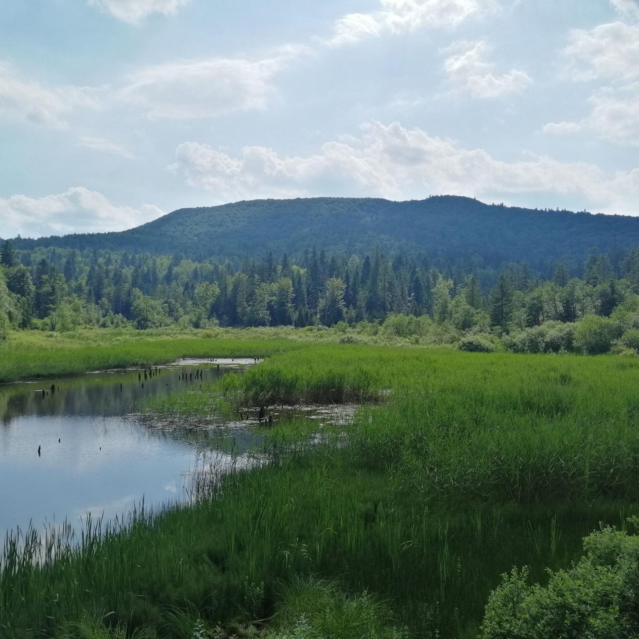
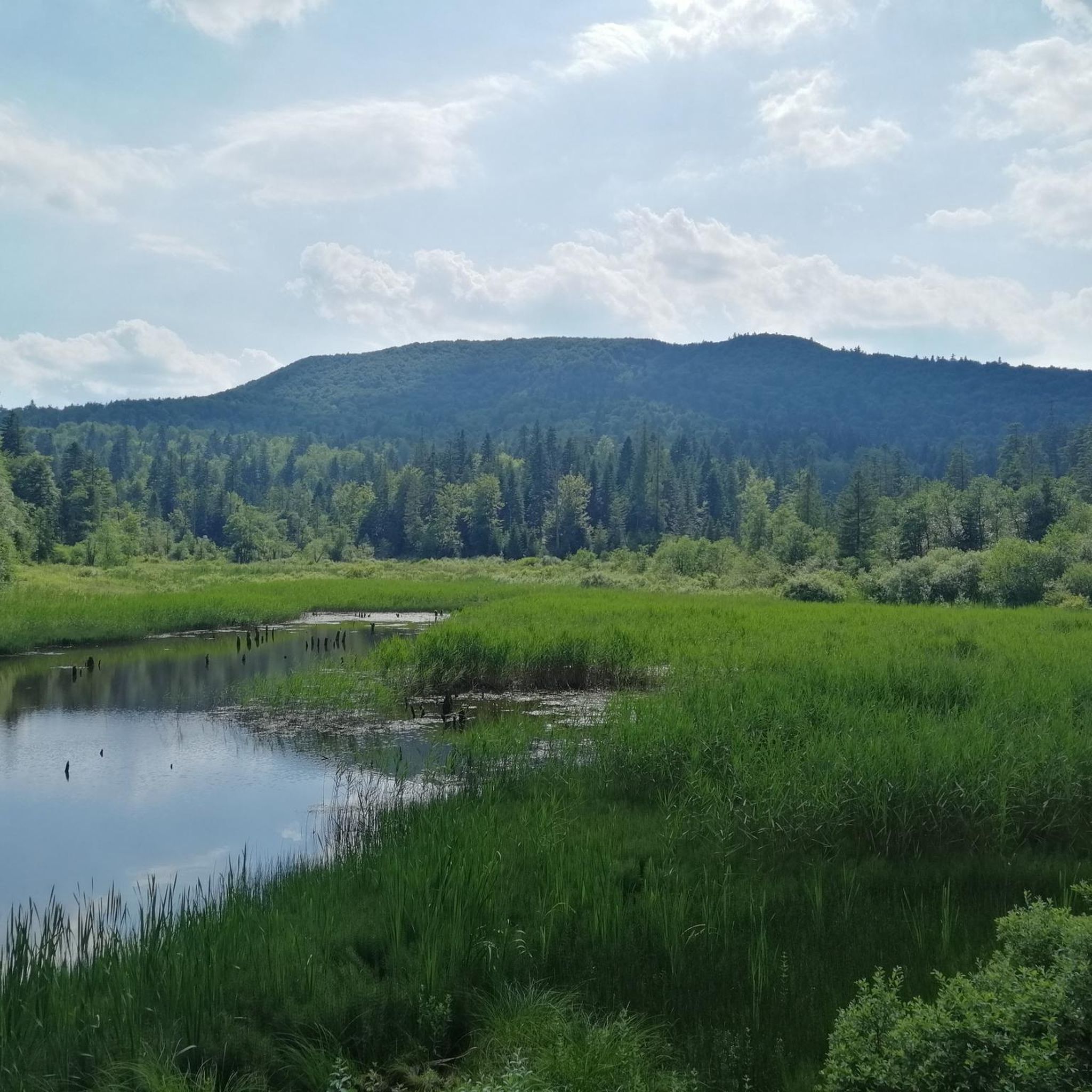
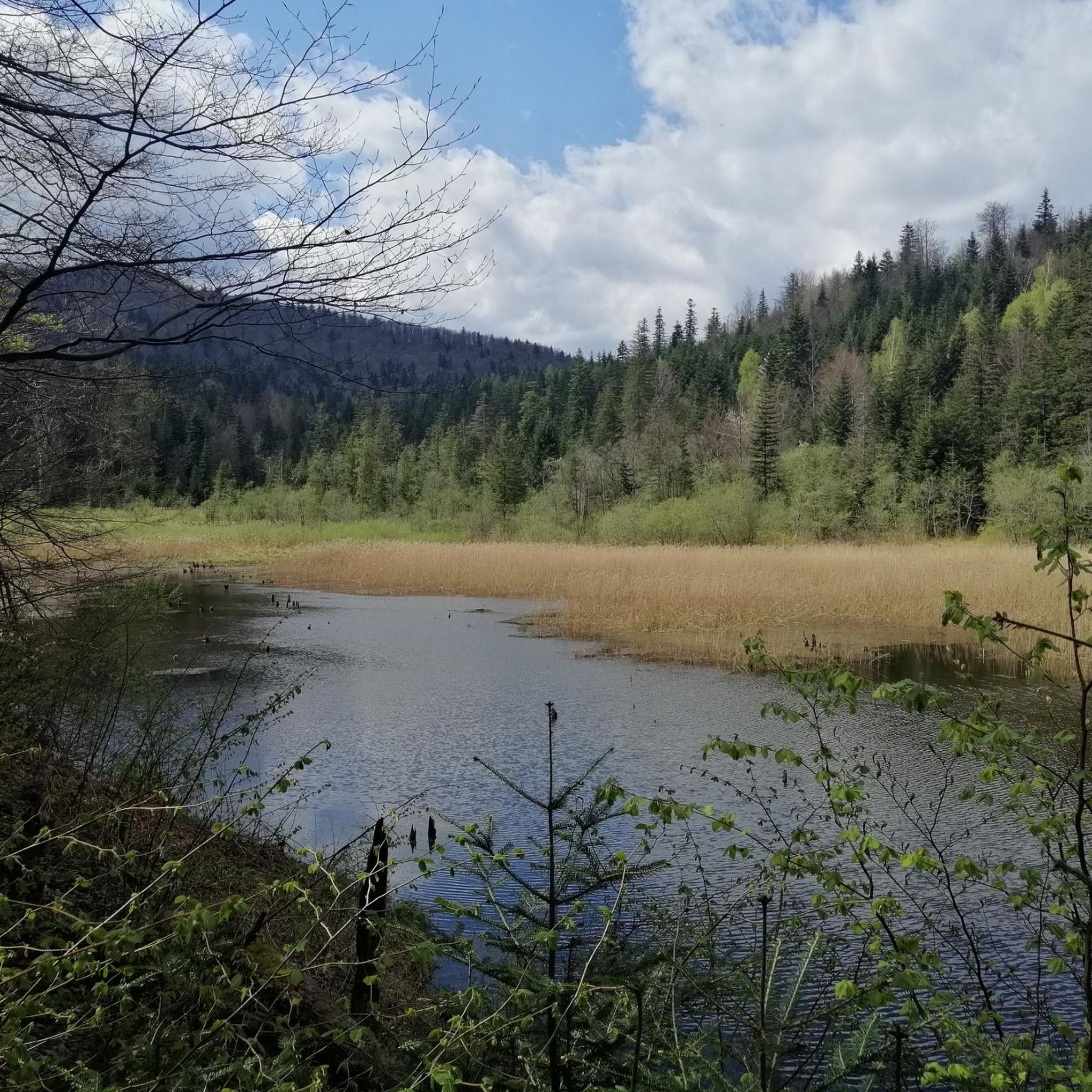
Bobrowe Lake is an artificial lake created as part of the beaver reintroduction program in the Bieszczady Mountains. It is located on the northern slopes of Chryszczata, between the former villages of Huczwice and Sukowate. The route is picturesque and little traveled. It is worth stopping for a while at the viewing platform.
1
0
You can reach Łopiennik (1,069 m above sea level) by several trails: the black one from Dołżyca, the blue one from Baligród or from the village of Habkowce (northwest of Cisna on road 893) along the "Stary Majdan" nature trail.
0
0
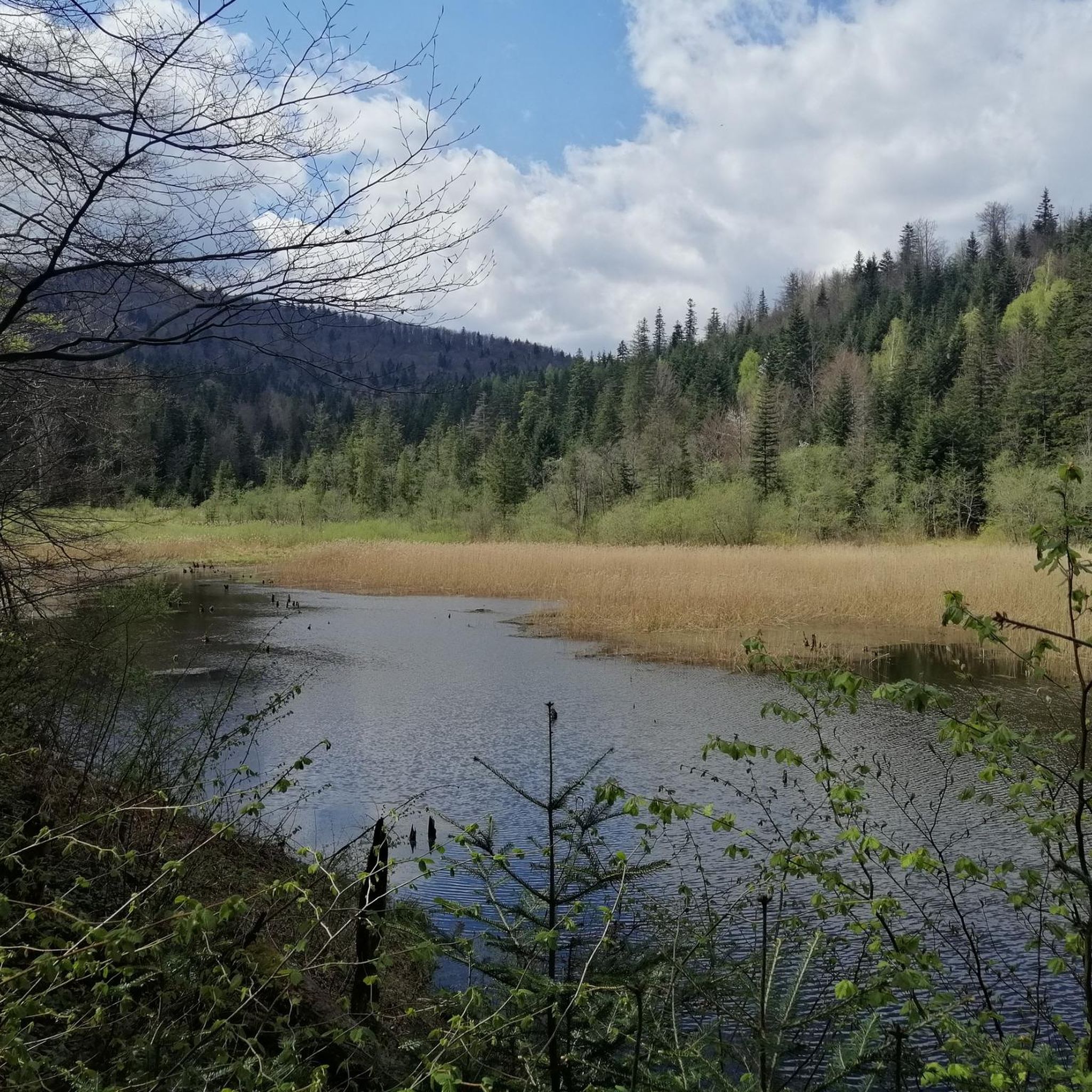
Bobrowe Lake is an artificial lake created as part of the beaver reintroduction program in the Bieszczady Mountains. It is located on the northern slopes of Chryszczata, between the former villages of Huczwice and Sukowate. The route is picturesque and little traveled. It is worth stopping for a while at the viewing platform.
2
0

The summit on the GSB route. wooded. On top of the bench and the shed.
0
0
Frequently Asked Questions
How many hiking trails are available around Baligród?
There are over 25 hiking trails around Baligród, offering a wide range of options from easy walks to more challenging mountain ascents. The area is well-known for its extensive network within the Bieszczady Mountains.
What kind of terrain can I expect on hikes near Baligród?
The terrain around Baligród is characterized by dense woodlands, primarily beech, fir, and mixed forests, alongside picturesque river valleys like the Hoczewka River valley. You'll also encounter mountain ascents, with prominent peaks offering panoramic views, and captivating limestone rock formations such as the Lesko Stones.
Are there any easy, family-friendly hikes in the Baligród area?
Yes, Baligród offers several easy trails suitable for families. For instance, the Nature trail "Lasumiła" (Jabłonki) is a gentle 2.2-mile (3.6 km) path through the Ciśniańsko-Wetliński Landscape Park, typically completed in about an hour. The Wetlina Valley also provides picturesque meadows perfect for leisurely walks.
Where can I find challenging hikes with significant elevation gain?
For more challenging routes, consider trails that ascend prominent peaks. The Jabłonki - Łopiennik Loop is a difficult 10.2-mile (16.4 km) path with an ascent of over 2,200 feet (675 meters), offering views within the Ciśniańsko-Wetliński Landscape Park. Another demanding option is the Baligród - Łopiennik route, which covers over 16 miles (26 km) and features nearly 2,600 feet (790 meters) of elevation gain.
Are there any circular hiking routes near Baligród?
Yes, circular routes are available for those who prefer to end their hike where they started. A notable option is the Chryszczata - Przełęcz Żebrak Loop, a difficult 11.6-mile (18.7 km) trail that takes you through varied landscapes. Regionally, a popular yellow circular trail connects Baligród – Stebne – Baligród, covering 5 km in about 1 hour and 35 minutes.
What natural features or landmarks can I see while hiking in Baligród?
Hiking around Baligród offers access to diverse natural features and landmarks. You can explore the rich biodiversity of the Ciśniańsko-Wetliński Landscape Park, the tranquil Sine Wiry Nature Reserve with its picturesque rock thresholds, or the captivating Lesko Stones. For panoramic views, consider visiting the Korbani Observation Tower or the 'Three Crosses' viewpoint near Baligród.
Are there any historical sites or points of interest along the trails?
Yes, the region has historical significance. The 'Walterowski Trail' connects various points of interest, including Baligród, Cisna, and Mount Walter, commemorating historical events. You can also find monuments along trails, such as those commemorating soldiers who fell in battles with the Ukrainian Insurgent Army (UPA).
What do other hikers say about the trails in Baligród?
The trails in Baligród are highly regarded by the komoot community, holding an average rating of 4.6 stars from over 400 reviews. Hikers often praise the quiet woodlands, the well-marked paths, and the stunning vistas of the Bieszczady Mountains.
Is there parking available at trailheads in Baligród?
Yes, the Baligród Forest District actively promotes forest tourism and has established essential infrastructure, including designated parking areas at trailheads to facilitate access for hikers.
Can I reach trailheads using public transport in Baligród?
While specific public transport routes to every trailhead may vary, Baligród serves as a central point in the region. Local bus services or regional transport options might connect to some of the more accessible starting points for trails. It's advisable to check local transport schedules for the most current information.
Are there any specific peaks I can hike to near Baligród?
Absolutely. The region is home to several prominent peaks. You can challenge yourself with routes to Łopiennik Peak (1,069 m), Mount Caryńska, Mount Durna, or Mount Stebne. These ascents often reward hikers with spectacular views of the surrounding Bieszczady range.
What is the best time of year to go hiking in Baligród?
The Bieszczady Mountains around Baligród are beautiful throughout the warmer months. Spring brings lush greenery and vibrant flora, while summer offers pleasant temperatures for longer hikes. Autumn is particularly stunning with its rich colors. While winter hiking is possible, it requires appropriate gear and experience due to snow and colder conditions.
Most popular routes around Baligród
Most popular attractions around Baligród

Get inspired with the komoot mobile app


Explore more
Browse the best Hikes in other regions.
