The best road cycling routes around gmina Dobrzyniewo Duże
4.6
(259)
4,876
riders
261
rides
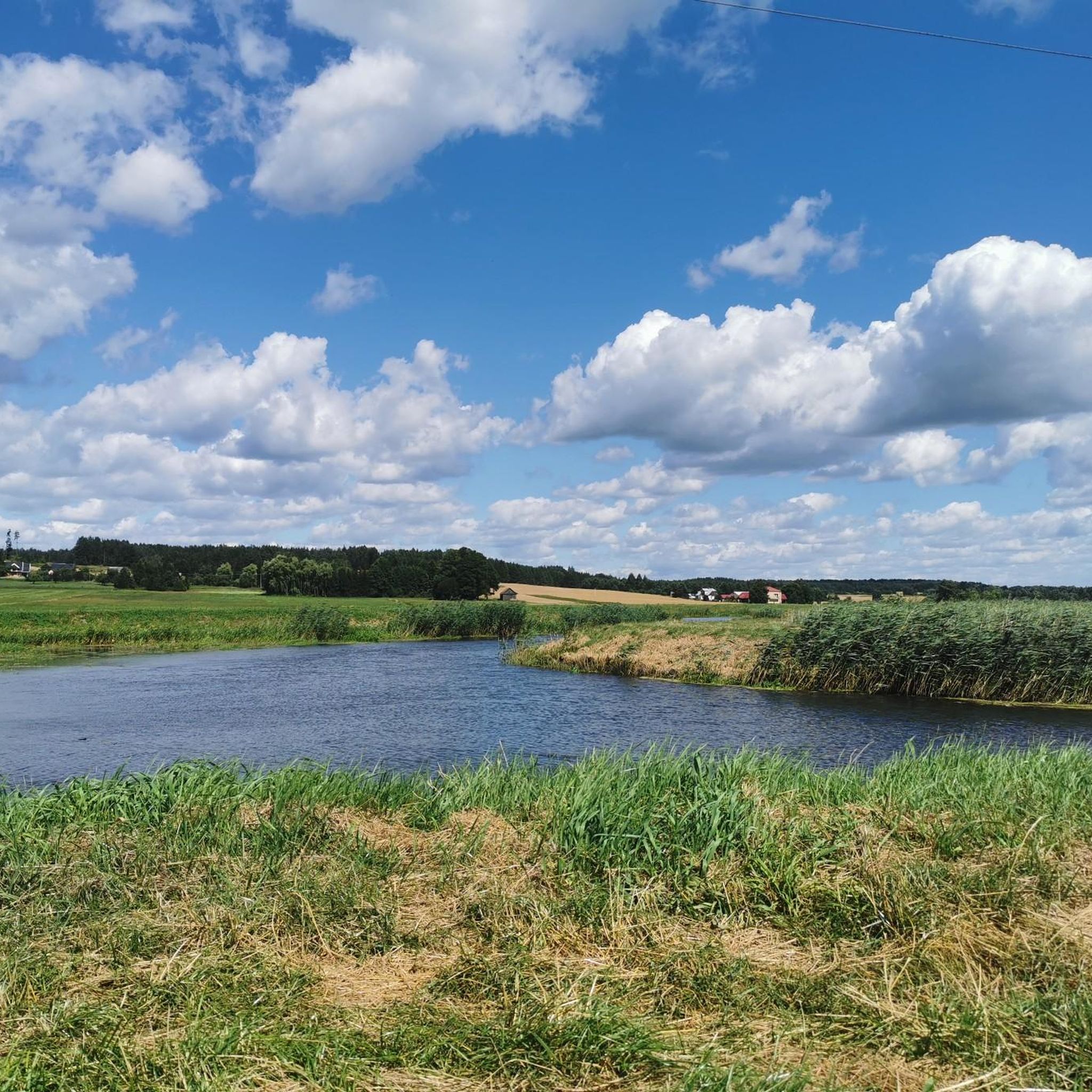
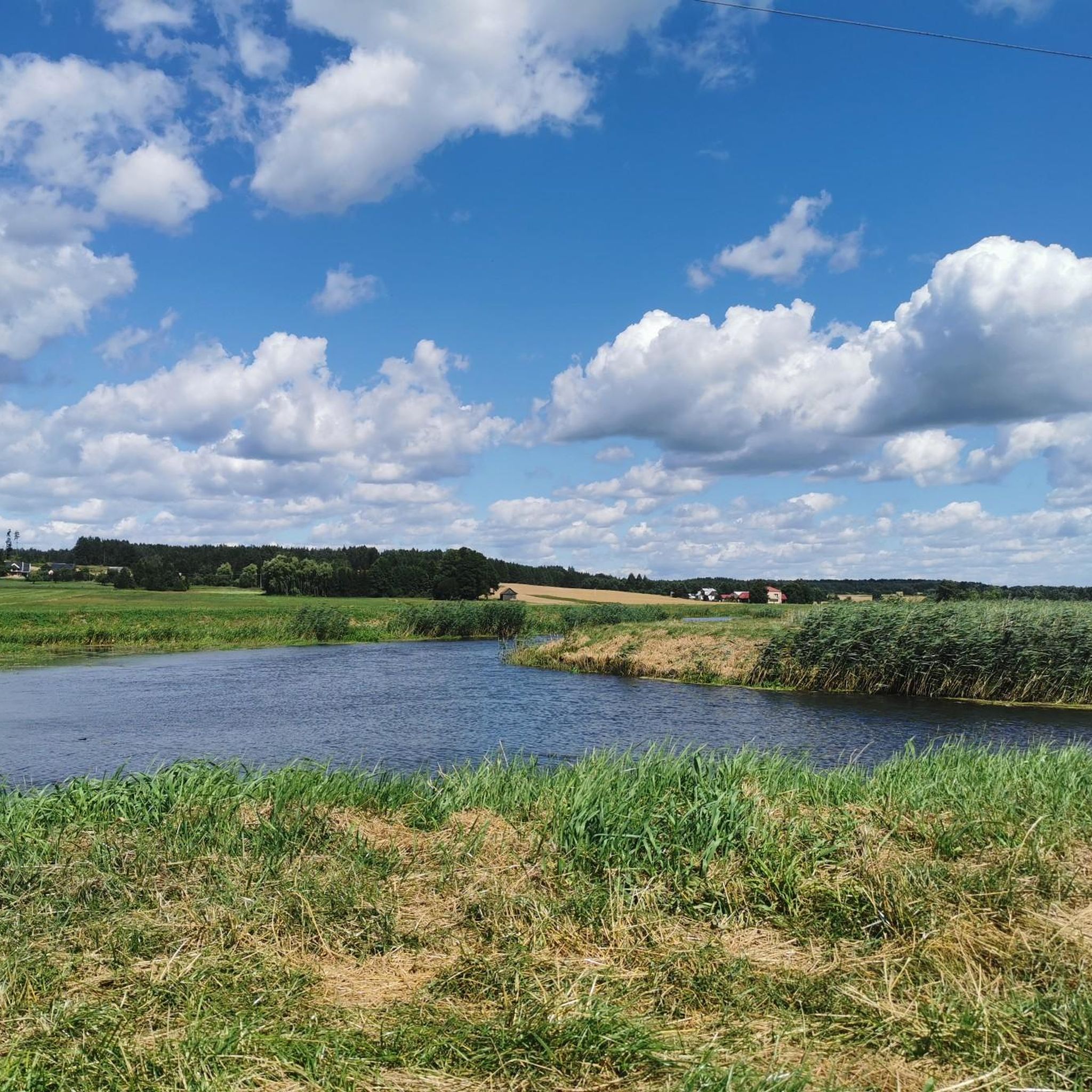
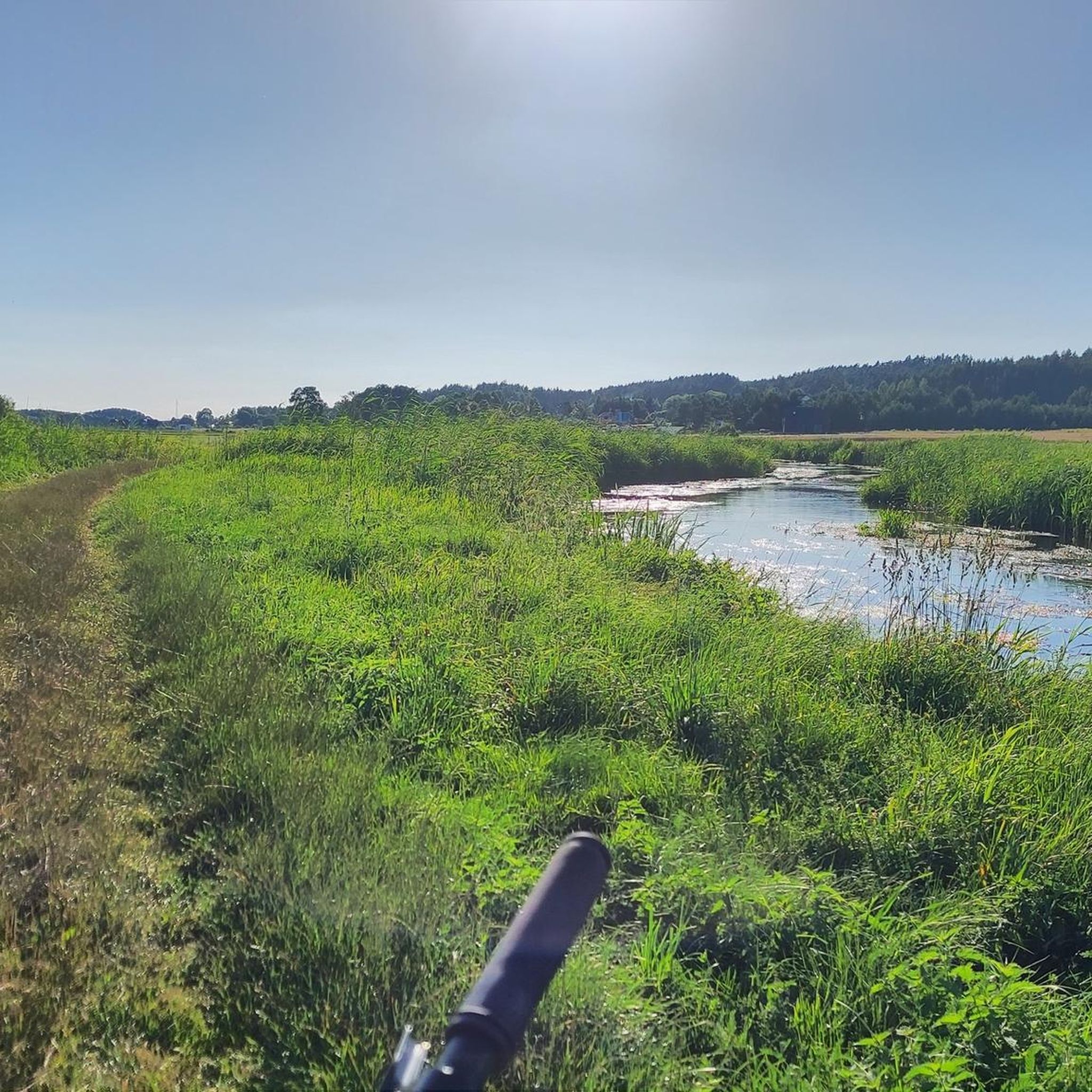
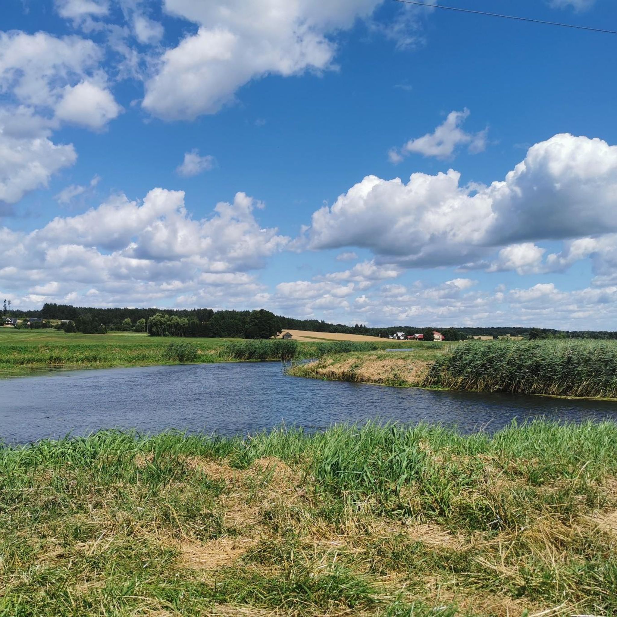
Road cycling routes around gmina Dobrzyniewo Duże offer varied terrain across a rural administrative district in northeastern Poland. The region features a mix of forests, arable land, meadows, and pastures, providing diverse scenery for cyclists. Its landscape includes both flat and undulated plains, with quieter roads connecting villages and natural areas. Proximity to the Narew River and extensive forested areas contributes to scenic cycling opportunities.
Best road cycling routes around gmina Dobrzyniewo Duże
- The most popular road cycling route is…
Last updated: July 11, 2026
5.0
(4)
110
riders
Moderate road ride. Good fitness required. Some segments of this route may be unpaved and difficult to ride.
3.3
(3)
57
riders
Moderate road ride. Great for any fitness level. Some segments of this route may be unpaved and difficult to ride.

Sign up for free
5.0
(5)
133
riders
Moderate road ride. Good fitness required. Some segments of this route may be unpaved and difficult to ride.
4.0
(1)
44
riders
52.0km
02:20
260m
260m
Moderate road ride. Good fitness required. Some segments of this route may be unpaved and difficult to ride.
4.0
(1)
14
riders
24.7km
01:16
120m
120m
Moderate road ride. Great for any fitness level. Some segments of this route may be unpaved and difficult to ride.
Get access to more routes and recommendations from other explorers.
Sign up for free
Already have an account?
Our route recommendations are based on thousands of hikes, rides, and runs completed by other people on komoot.
Start today with a free account
Your next adventure awaits.
Login or Signup

Tips from the Community

The most interesting part of the monastery is the "defense church" of the Annunciation of the Blessed Virgin Mary. Originally built between 1503 and 1511, it was one of the few churches of its kind on the Byzantine periphery—architecturally combining elements of Western Gothic and Eastern Byzantine culture. On July 21, 1944, the church, along with most of the significant buildings in Supraśl, was destroyed by German troops. Reconstruction of the church, based on the preserved foundations, took over 30 years, and it was finally consecrated in 2021.
1
0

Mural of a girl with a watering can.
0
0

The monument is located on the bridge over the Biała River, connecting Branicki Square with Andrzej Piotr Lussa Square, which from December 20, 2022 is called the Władysław Bartoszewski Bridge.
3
0

A walk through the Podlaskie Muzeum Kultury Ludowej is like a journey back in time to the rural past of eastern Poland. Among traditional wooden houses, barns, and workshops, you can experience the simple life of previous generations firsthand. The tour is particularly beautiful on a dry day – in rain, the grounds can become muddy and unpleasant. The extensive grounds are idyllically situated on the edge of the forest, just a few kilometers outside of Białystok, and are perfect for a quiet stroll with plenty of photo opportunities. Ideal as a cultural stop during a bike ride or hike through the region. 📸 Tip: Be sure to bring your camera or smartphone – the play of light on the old wooden facades is particularly atmospheric at sunset!
1
0

The 11 Listopada Market in Choroszcz is the central point of the city, acting as the main communication hub that connects Choroszcz with other towns in the commune. The square is surrounded by important buildings, such as the church of St. John the Baptist and St. Stephen and a former monastery, which gives this place a unique, historical character. There is also an obelisk commemorating those who died in the fight for the freedom of the homeland. The market used to be called the 9th May Market, but in 1989 it was changed to the current name, referring to Independence Day.
3
0

The historic Orthodox church of the Exaltation of the Holy Cross in Fasty, built in 1875 on the site of an old wooden church, was taken over by the Uniates in the interwar period and regained by the Orthodox in 1944. In recent years, it has undergone a general renovation, combined with the restoration of the polychromes decorating the interior of the church.
1
0

Roman Catholic Church of St. John the Baptist and St. Stephen the Martyr
0
0
Frequently Asked Questions
What kind of terrain can I expect when road cycling in gmina Dobrzyniewo Duże?
Gmina Dobrzyniewo Duże offers a diverse landscape for road cyclists, characterized by a mix of forests, arable land, meadows, and pastures. You'll encounter both flat plains and gently undulated sections, providing varied scenery and riding experiences. The rural character means quieter roads connecting villages and natural areas.
How many road cycling routes are available in gmina Dobrzyniewo Duże?
There are over 220 road cycling routes available in gmina Dobrzyniewo Duże, catering to various skill levels. This includes 79 easy routes, 141 moderate routes, and 1 difficult route, ensuring options for nearly every cyclist.
Are there any circular road cycling routes in the area?
Yes, many of the road cycling routes in gmina Dobrzyniewo Duże are designed as loops, allowing you to start and finish at the same point. For example, the popular Outdoor Shelter in Park – Tykocin Castle loop from Białystok Bacieczki is a 42.7-mile circular route, and the Motor Mill loop from Fasty is another excellent option.
What are some notable landmarks or attractions I can see along the road cycling routes?
Road cycling routes in gmina Dobrzyniewo Duże often pass by or lead to interesting landmarks and natural features. You can cycle towards the historic Sanctuary of Święta Woda or explore the preserved natural beauty of the Krzemianka Nature Reserve. The nearby Wasilków Reservoir also offers a pleasant stop for relaxation.
What do other road cyclists enjoy most about road cycling in gmina Dobrzyniewo Duże?
The area is highly rated by the komoot community, with an average score of 4.5 stars from over 180 reviews. Cyclists often praise the varied scenery, the mix of flat and gently rolling plains, and the peaceful, less-trafficked roads that define the rural character of the region.
Are there routes suitable for families or beginners?
Yes, gmina Dobrzyniewo Duże offers 79 easy road cycling routes, making it suitable for families and beginners. These routes typically feature less elevation gain and are often on quieter roads, providing a comfortable and enjoyable experience for those new to road cycling or looking for a relaxed ride.
What is the typical length and duration of road cycling routes in this region?
Route lengths and durations vary significantly. For instance, the Mural Woman in a Mask – Abandoned Military Vehicles loop from Białystok Bacieczki is a moderate 24.9-mile (40.0 km) path, typically taking around 1 hour 43 minutes. Longer routes, like the Tykocin Castle – Graduation Tower loop from Białystok Bacieczki, cover about 31.3 miles (50.4 km) and can take over 2 hours.
Can I find routes that pass by water features or reservoirs?
Yes, some routes offer views of water features. The Wasilków Reservoir is a notable spot for cyclists to visit, offering a pleasant break by the water. The Narew River also borders neighboring gminas, contributing to picturesque routes with backwaters and natural beauty.
What is the best time of year for road cycling in gmina Dobrzyniewo Duże?
The best time for road cycling in gmina Dobrzyniewo Duże is generally during the spring, summer, and early autumn months. During these seasons, the weather is typically mild, and the natural landscapes are at their most vibrant, offering pleasant conditions for exploring the region's diverse terrain.
Are there any routes that offer views of the nearby Knyszyń Forest?
While specific routes directly through the Knyszyń Forest might be more suited for mountain biking, many road cycling routes in gmina Dobrzyniewo Duże pass through or offer scenic views of extensive forested areas, providing natural shade and a tranquil atmosphere. The region's proximity to such forests means you'll often be cycling alongside beautiful natural landscapes.
Is there public transport access to the cycling routes?
Gmina Dobrzyniewo Duże is located approximately 14 kilometers northwest of Białystok. While specific public transport options directly to trailheads within the gmina are not detailed, its proximity to Białystok means you can likely access the area via regional bus services from the city, which may allow for bicycle transport depending on the service.
Most popular routes around gmina Dobrzyniewo Duże
Most popular attractions around gmina Dobrzyniewo Duże

Get inspired with the komoot mobile app


Explore more
Browse the best Road cycling routes in other regions.
